The best gravel rides around Malakoff
4.5
(651)
3,035
riders
89
rides
Gravel biking around Malakoff offers a landscape shaped by historical hydraulic gold mining, featuring "diggins" with colorful cliffs and canyons. The region is characterized by pine and cedar forests, providing shaded trails. Elevations range from 2,000 to 4,000 feet, contributing to varied terrain. Natural waterways like Blair Lake and Humbug Creek are also present.
Best gravel bike trails around Malakoff
- The most popular gravel bike trail is Meudon Pond – Trivaux Pond loop from Clamart, a 30.0 miles (48.3…
Last updated: July 3, 2026
4.1
(30)
213
riders
48.7km
03:18
600m
600m
Hard gravel ride. Very good fitness required. You may need to push your bike for some segments of this route.
4.4
(5)
43
riders
42.4km
02:38
450m
450m
Hard gravel ride. Very good fitness required. You may need to push your bike for some segments of this route.

Sign up for free
4.9
(7)
19
riders
22.8km
01:30
290m
290m
Moderate gravel ride. Good fitness required. Mostly paved surfaces. Suitable for all skill levels.
4.7
(7)
26
riders
27.5km
01:44
320m
320m
Hard gravel ride. Good fitness required. You may need to push your bike for some segments of this route.
4.2
(10)
106
riders
Hard gravel ride. Very good fitness required. You may need to push your bike for some segments of this route.
Get access to more routes and recommendations from other explorers.
Sign up for free
Already have an account?
Our route recommendations are based on thousands of hikes, rides, and runs completed by other people on komoot.
Start today with a free account
Your next adventure awaits.
Login or Signup
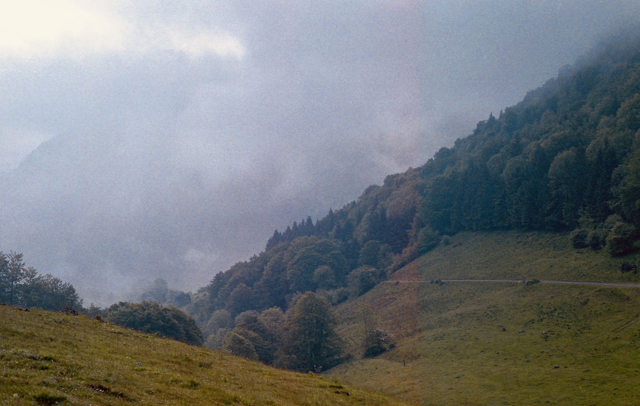
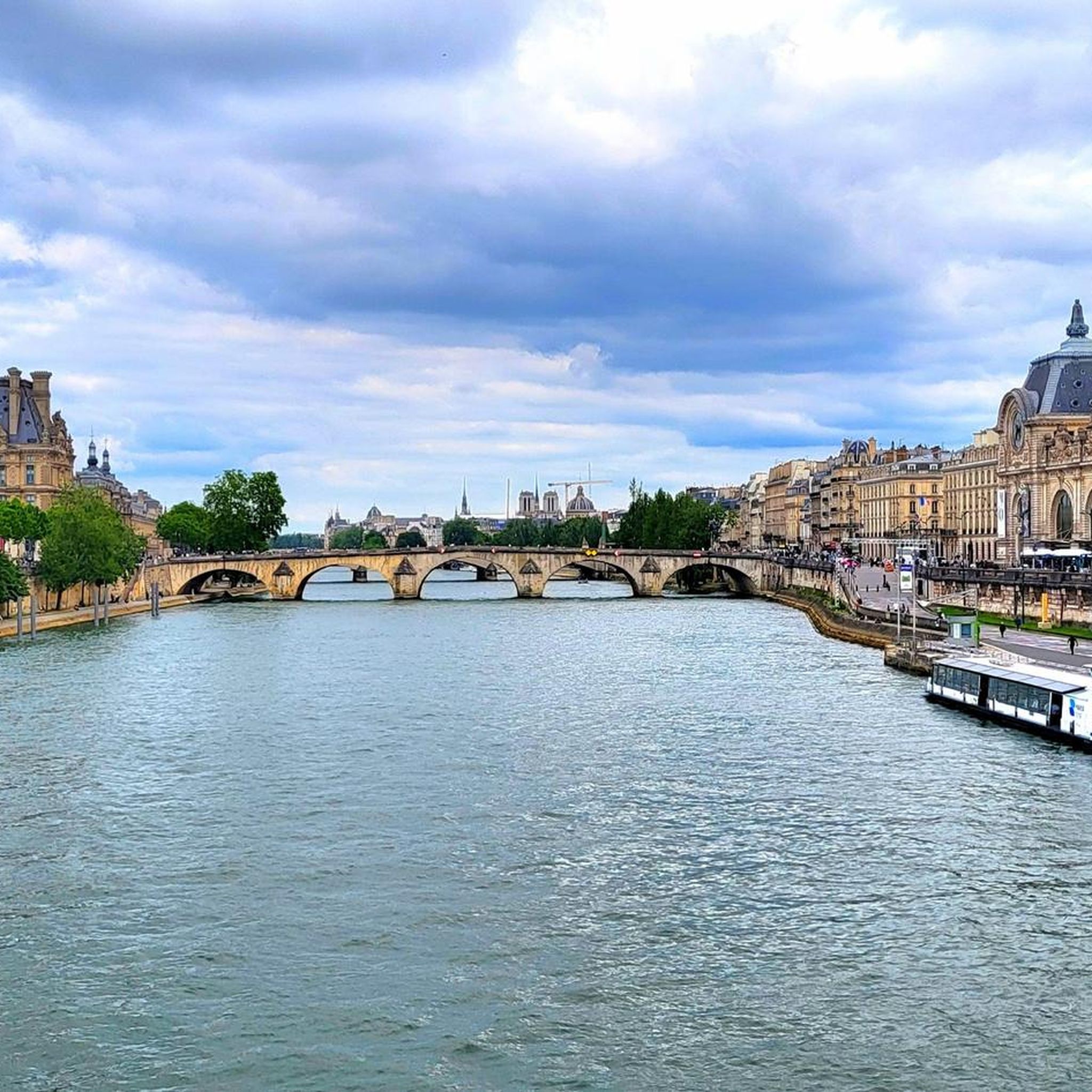
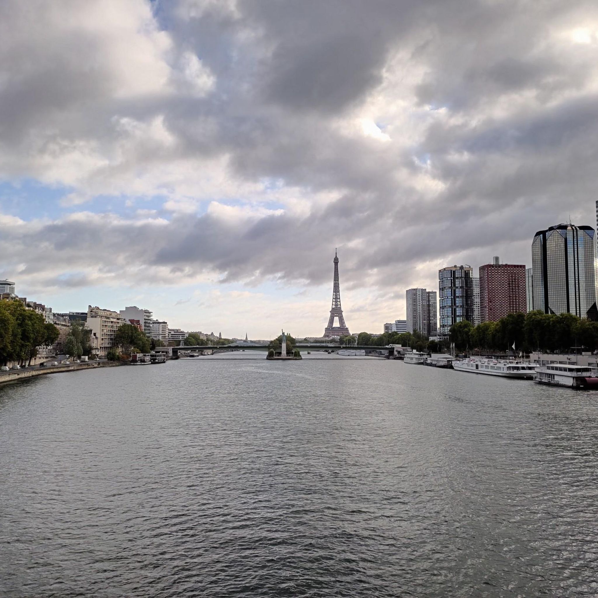
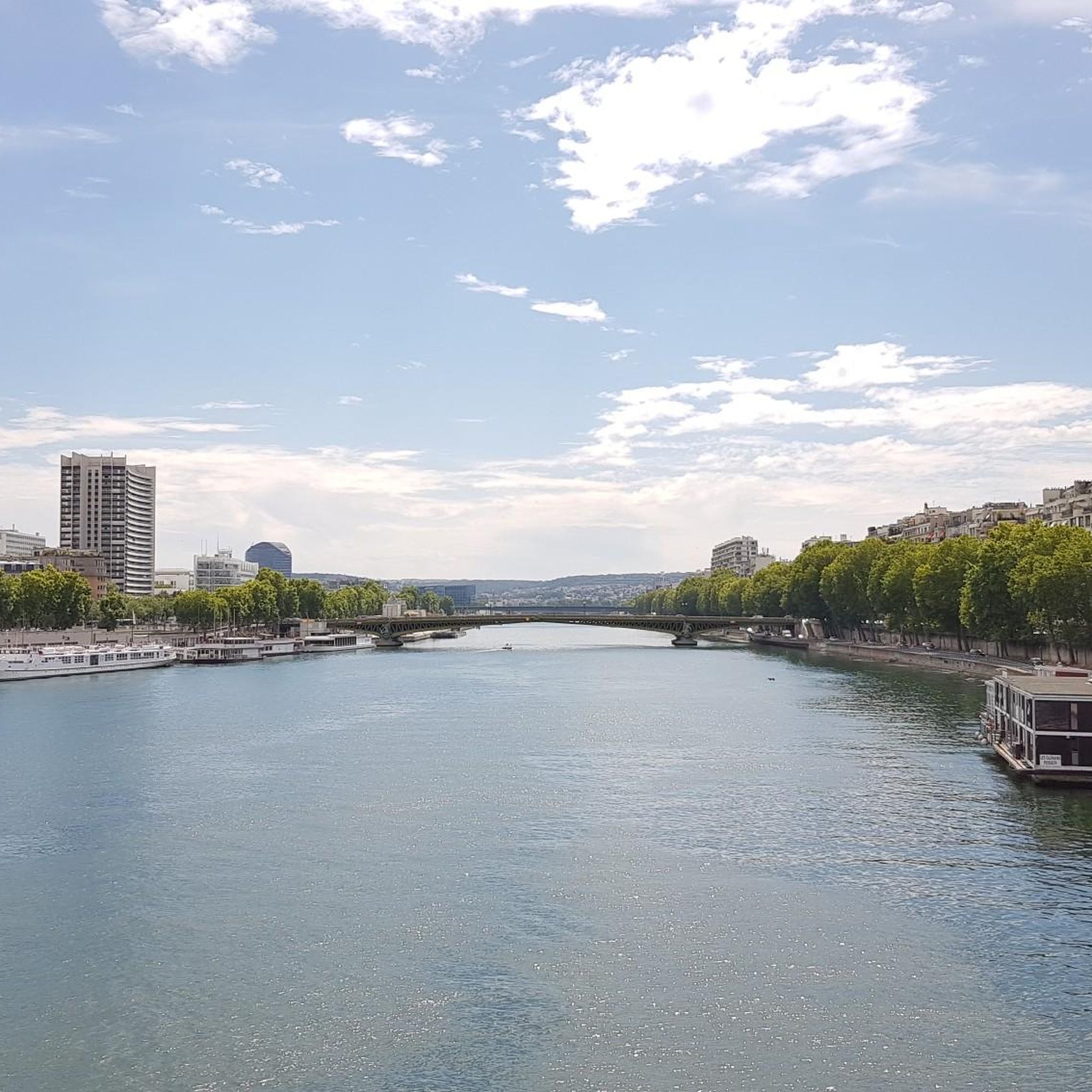
Other adventures around Malakoff

Tips from the Community

You pass by the farm, a little break just for you.
0
0

The Luxor Obelisk on the Place de la Concorde is the oldest monument in Paris. It is well over 3,000 years old and originally came from Egypt. Here are the most important facts about its history and the monument: Origin and Age Location in Egypt: It originally stood with a second obelisk in front of the entrance to the Luxor Temple. Time: It was made during the reign of Pharaoh Ramses II (13th century BC). The Gift: The viceroy of Egypt, Muhammad Ali Pasha, gave the obelisk to France in 1829 as a sign of friendship. The second obelisk remained in Egypt and was only officially "returned" by France in the 1990s (so it is still in Luxor). Transport to Paris The Journey: The transport was a technical masterpiece. The over 220-ton monolith of granite had to be shipped across the Nile, the Mediterranean Sea, and the Atlantic Ocean to Paris. The journey took almost three years. Erection: It was finally erected in 1836 under King Louis-Philippe I in the center of the Place de la Concorde. This location was deliberately chosen as a "neutral" monument to cover up the bloody history of the square during the French Revolution. Special Features Hieroglyphs: The inscriptions praise the deeds of Ramses II. The Golden Tip: The original tip was missing (it was probably stolen in ancient times). In 1998, France placed a new pyramid tip covered with gold leaf on the obelisk, as it would have looked in ancient Egypt. The Base: Diagrams are engraved on the base, explaining with which lifting devices and machines the obelisk was erected in the 19th century. Dimensions It is about 23 meters high and consists of a single piece of yellow granite.
0
0

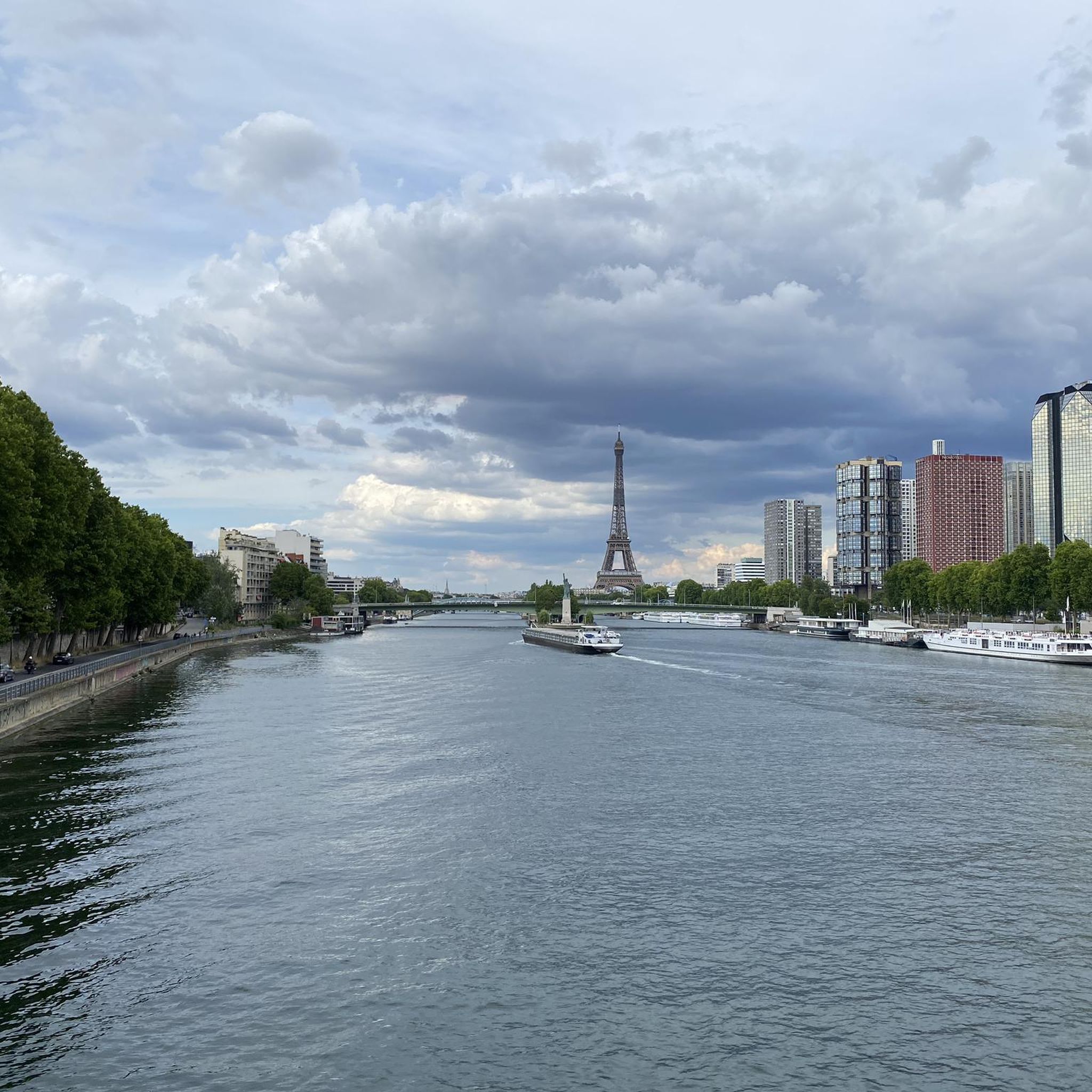
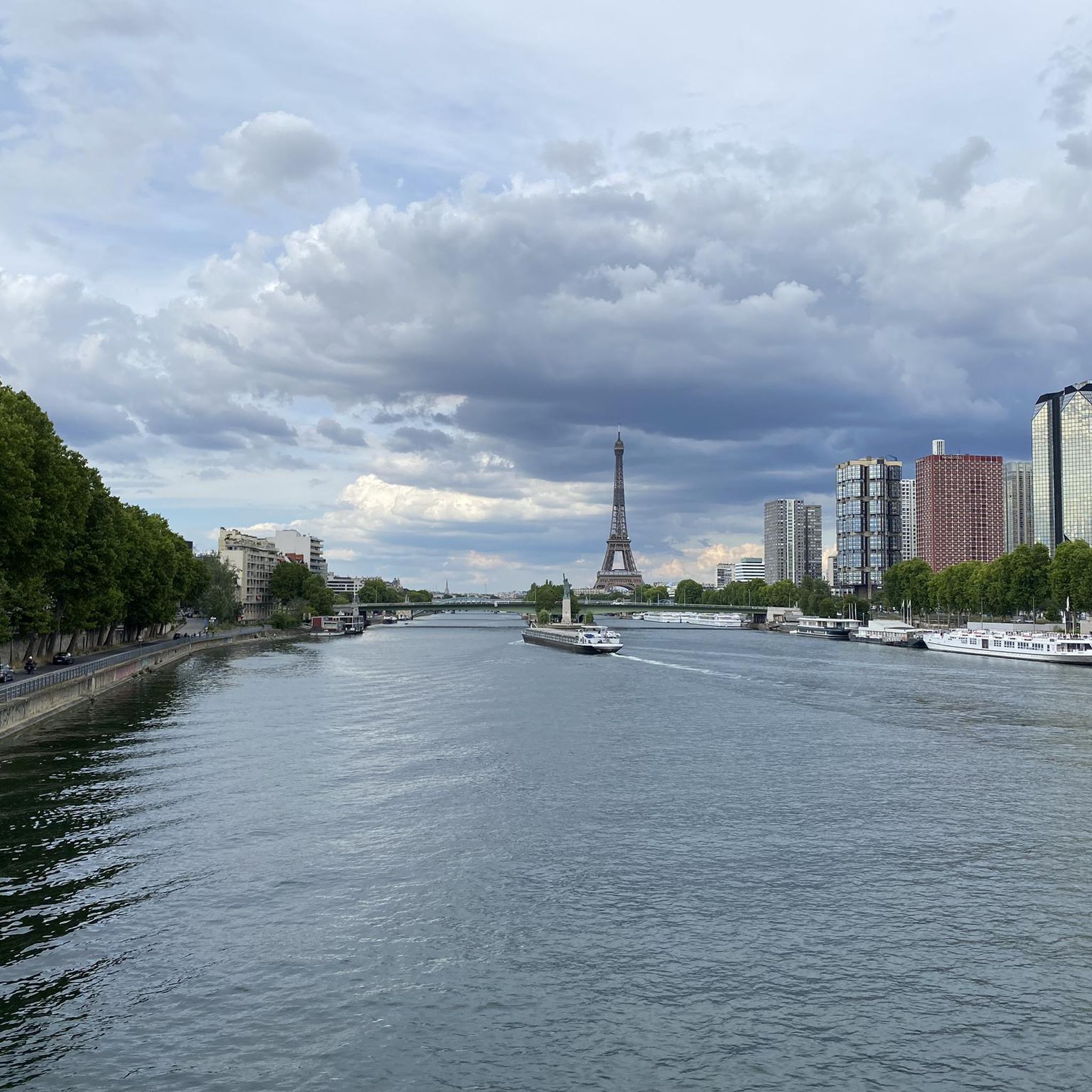
Exceptional view of Paris
0
0


A peaceful place to admire the pond and the surroundings.
0
0

The most chaotic roundabout I have ever cycled, but so much fun
2
0

Caution in traffic
1
1

Frequently Asked Questions
How many gravel bike trails are available in the Malakoff region?
There are over 160 gravel bike trails in the Malakoff region. These routes cater to various skill levels, with approximately 10 easy trails, over 60 moderate options, and more than 90 challenging routes for experienced riders.
What kind of terrain can I expect on gravel bike trails around Malakoff?
Gravel biking in Malakoff offers a unique and varied terrain. You'll encounter dramatic landscapes shaped by historic hydraulic gold mining, featuring massive 'diggins' with colorful cliffs and canyons. Beyond these striking geological formations, routes often lead through shaded pine and cedar forests. Elevations range from 2,000 to 4,000 feet, providing opportunities for challenging climbs and scenic descents.
Are there any family-friendly gravel bike trails in Malakoff?
Yes, Malakoff Diggins State Historic Park offers several trails suitable for families. The Slaughterhouse Trail and North Bloomfield Town Trail are both less than one mile long and ideal for a more relaxed ride with children. These trails provide a great way to experience the park's unique environment together.
What are some notable landmarks or attractions I can see along the gravel trails?
Many gravel trails in Malakoff pass by significant historical and natural landmarks. You can explore the remnants of hydraulic mining pits, the preserved ghost town of North Bloomfield with its historic buildings, or enjoy natural features like Blair Lake and Humbug Creek. For specific points of interest, consider exploring highlights such as Grande Allée Singletrack or View of Montreuil from the Butte aux Canons.
What do other gravel bikers enjoy most about the trails in Malakoff?
The gravel biking routes in Malakoff are highly rated by the komoot community, with an average score of 4.4 stars from over 650 reviews. Riders often praise the unique blend of historic mining landscapes, dense forests, and varied elevations. The network offers diverse options, from moderate paths to more challenging, longer routes, ensuring there's something for every gravel enthusiast.
Are there any circular gravel bike routes in the Malakoff area?
Yes, many of the popular gravel routes in Malakoff are designed as loops. For example, the Meudon Pond – Trivaux Pond loop from Clamart is a 30.4-mile trail that offers a significant elevation gain. Another option is the Villebon Pond – View of Meudon Pond loop from Clamart, a 25.8-mile path with a mix of forest sections and open paths.
What is the best time of year for gravel biking in Malakoff?
The best time for gravel biking in Malakoff is generally during the spring and fall when temperatures are mild and the scenery is vibrant. Summer can be warm, but shaded forest trails offer some relief. Winter can bring snow, especially at higher elevations, making some trails suitable for snowshoeing or cross-country skiing rather than gravel biking, though lower elevation routes might still be accessible.
Are there options for long-distance gravel cycling routes near Malakoff?
Absolutely. While some trails within Malakoff Diggins State Historic Park are shorter, the wider network of gravel roads in and around the park, including Backbone Road, Relief Hill Road, and North Bloomfield-Graniteville Road, allows for much longer rides. Some routes can span from 10 to 60 miles, offering extensive exploration opportunities. The Buc Aqueduct (arcades) – Meudon Pond loop from Clamart is a particularly long option at 65.8 miles.
Can I find parking easily for gravel biking trails in Malakoff?
Malakoff Diggins State Historic Park provides designated parking areas for visitors. It's advisable to check the park's official website or visitor information for specific parking locations and any potential fees or restrictions, especially during peak seasons.
Are dogs allowed on the gravel bike trails in Malakoff?
While Malakoff Diggins State Historic Park is generally dog-friendly in certain areas, specific rules apply to trails. It's best to check the official park regulations regarding pets on trails to ensure compliance and a pleasant experience for everyone. Typically, dogs must be on a leash.
What are the most challenging gravel bike trails in the Malakoff area?
The Malakoff region offers several challenging gravel bike trails with significant elevation gains. Routes like the Meudon Pond – Trivaux Pond loop from Clamart (30.4 miles with over 1,800 feet of ascent) and the Buc Aqueduct (arcades) – Meudon Pond loop from Clamart (65.8 miles with over 3,300 feet of ascent) are considered difficult and are popular among experienced gravel bikers looking for a demanding ride.
Are there any cafes or pubs near the gravel biking routes in Malakoff?
The immediate vicinity of Malakoff Diggins State Historic Park is more remote, focusing on natural and historical experiences. The ghost town of North Bloomfield within the park offers a glimpse into the past but not modern amenities like cafes or pubs. For such services, you would typically need to venture to nearby towns outside the park boundaries.
Most popular attractions around Malakoff

Get inspired with the komoot mobile app


Explore more
Browse the best Gravel rides in other regions.
