The best gravel rides around Lena
5.0
(1)
37
riders
10
rides
Gravel biking around Lena offers routes through varied terrain, including mountainous regions and areas with historical mining landscapes. The region is characterized by significant elevation changes, with many trails ascending to mountain passes and traversing forested sections. Riders can expect a mix of natural paths and gravel roads, often leading through remote areas. The landscape features include open mountain views, dense tree sections, and natural lagoons.
Best gravel bike trails around Lena
- The most popular gravel bike trail is Gravel…
Last updated: July 2, 2026
115km
10:01
3,830m
3,830m
Hard gravel ride. Very good fitness required. Mostly paved surfaces. Suitable for all skill levels.
9
riders
33.7km
03:17
1,030m
1,030m
Hard gravel ride. Very good fitness required. Mostly paved surfaces. Suitable for all skill levels.

Sign up for free
2
riders
52.8km
05:08
1,680m
1,680m
Hard gravel ride. Very good fitness required. Mostly paved surfaces. Suitable for all skill levels.
1
riders
51.2km
04:28
1,680m
1,680m
Hard gravel ride. Very good fitness required. Mostly paved surfaces. Suitable for all skill levels.
3
riders
55.8km
04:34
1,320m
1,320m
Hard gravel ride. Very good fitness required. Mostly paved surfaces. Suitable for all skill levels.
Get access to more routes and recommendations from other explorers.
Sign up for free
Already have an account?
Our route recommendations are based on thousands of hikes, rides, and runs completed by other people on komoot.
Start today with a free account
Your next adventure awaits.
Login or Signup
Popular around Lena
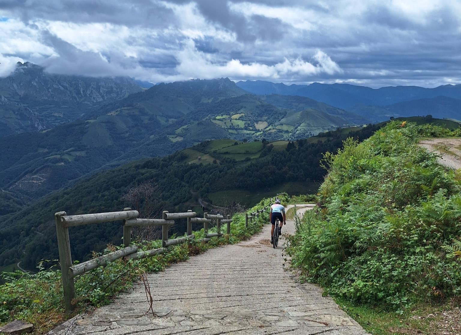
Central Mountain Cycling Ring GR 208 - Tour of the Asturian Mountains
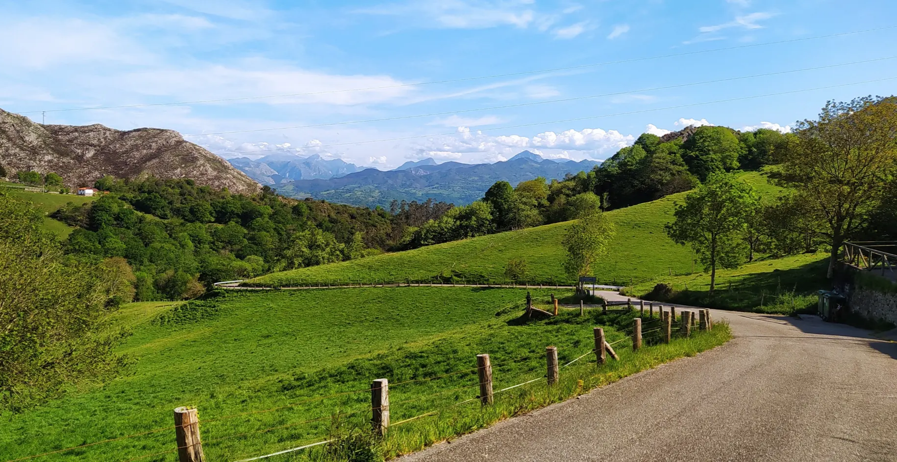
Great mountain passes of Picos de Europa on road bikes
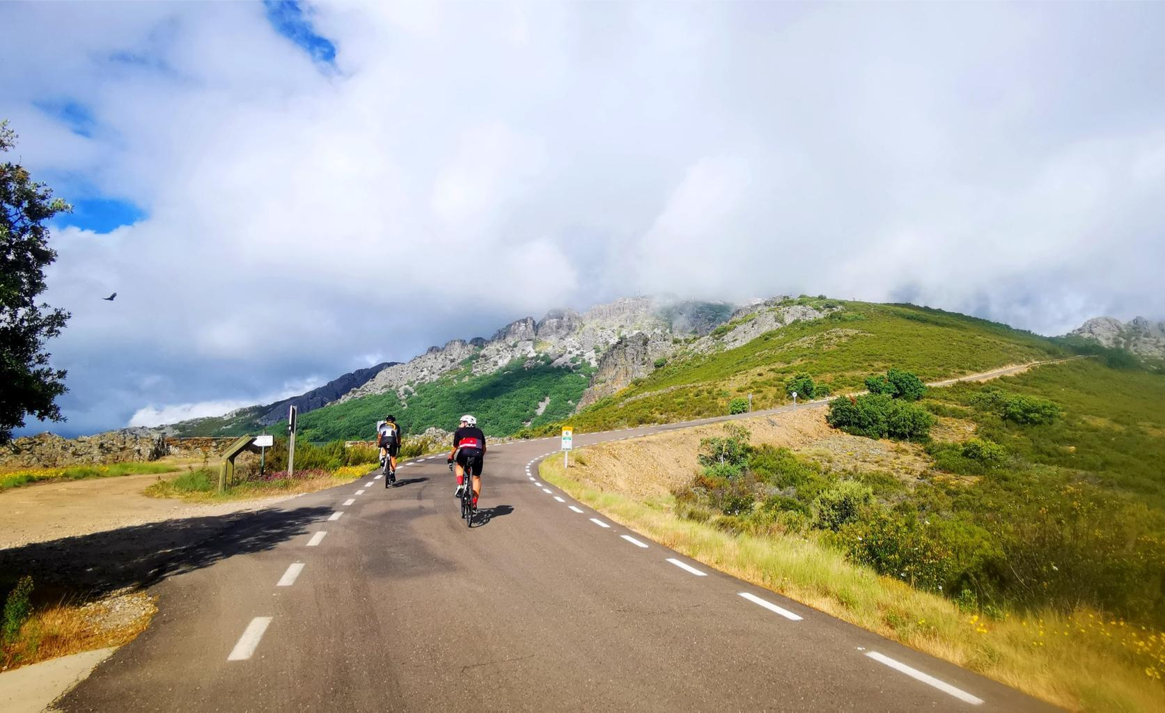
Legendary climbs - Ports of La Vuelta a España
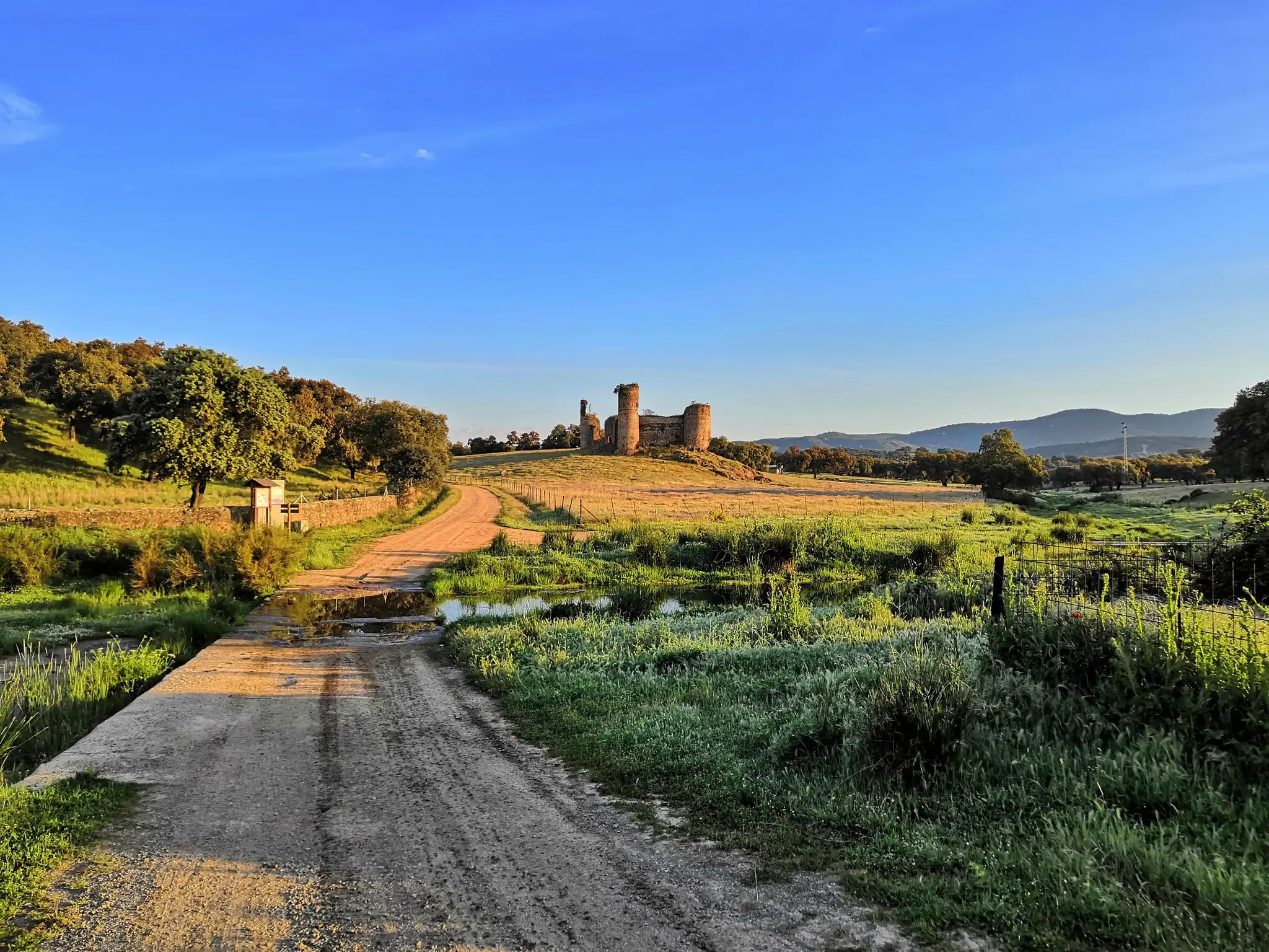
A romantic journey in the footsteps of the Romans – Via de la Plata
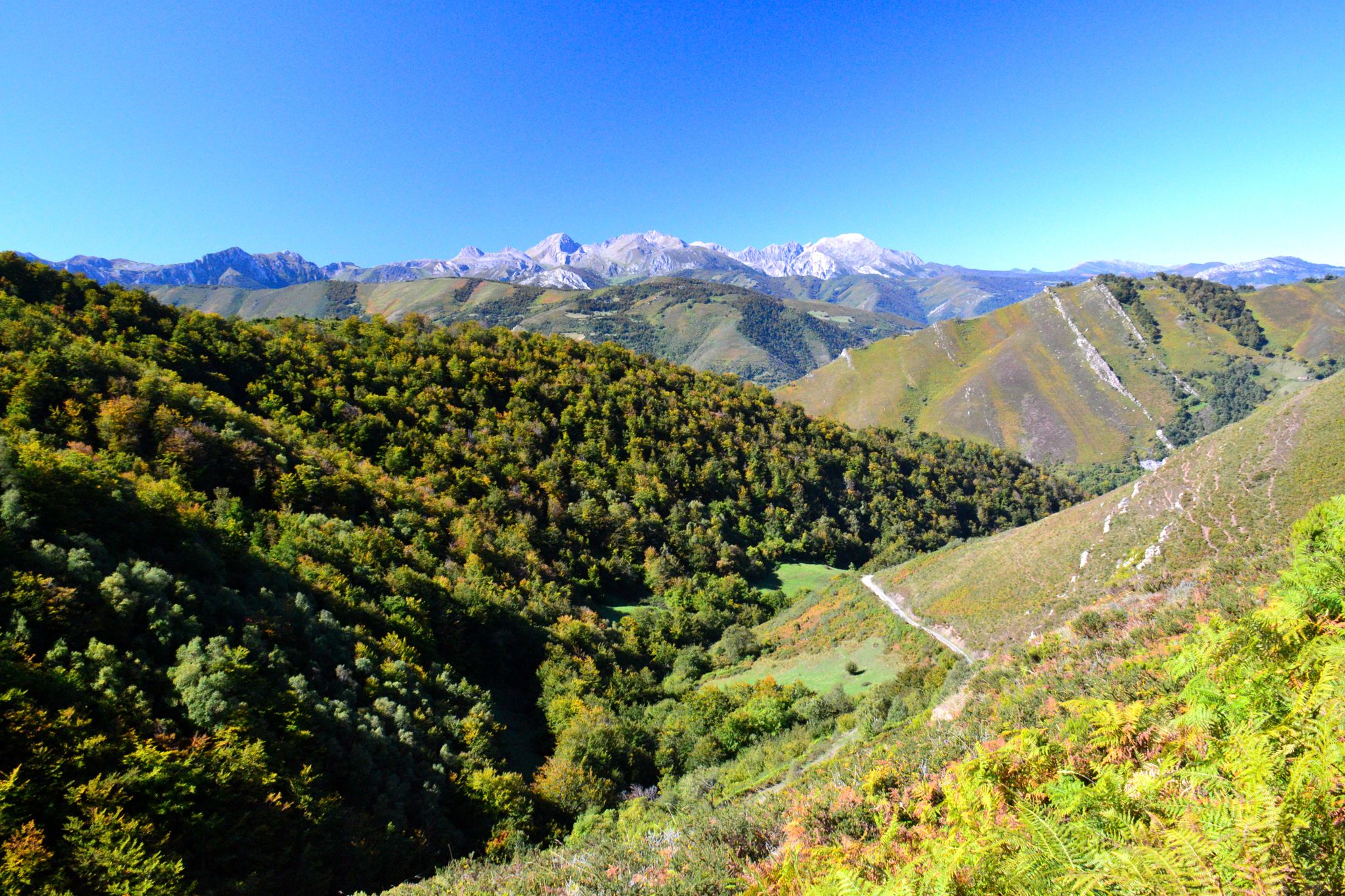
The heart of Asturias – Central Mountain Cycling Ring
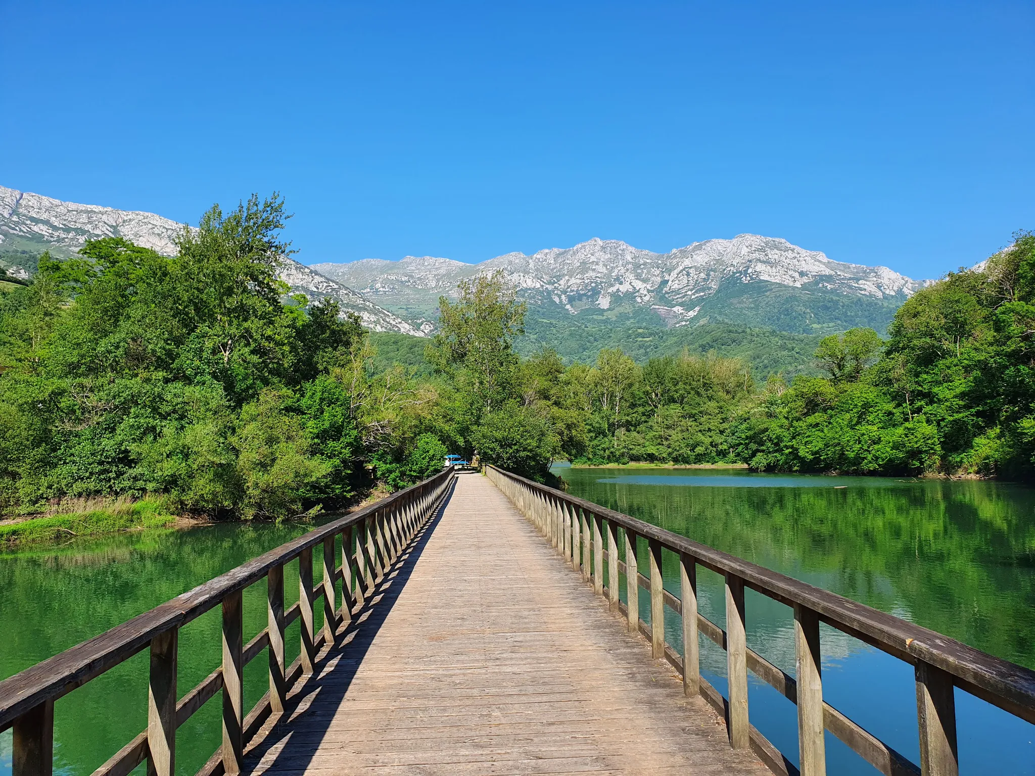
The secrets of the Cantabrian Mountains – GR 109 Asturias Interior
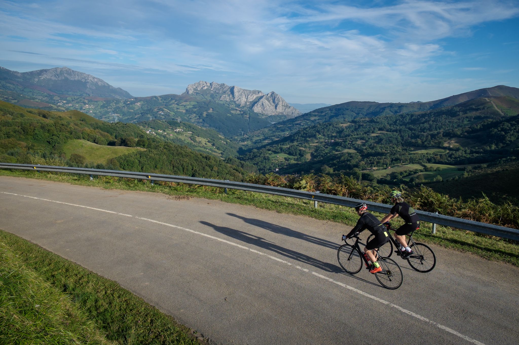
Explore Spain’s monuments and landscapes – cycle the Via de la Plata
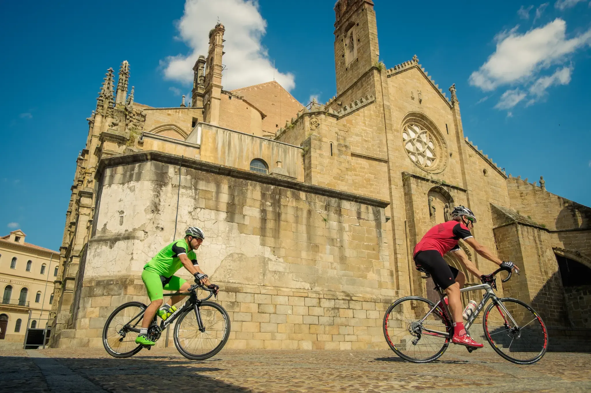
Vía de la Plata – from Seville to Gijón by bike
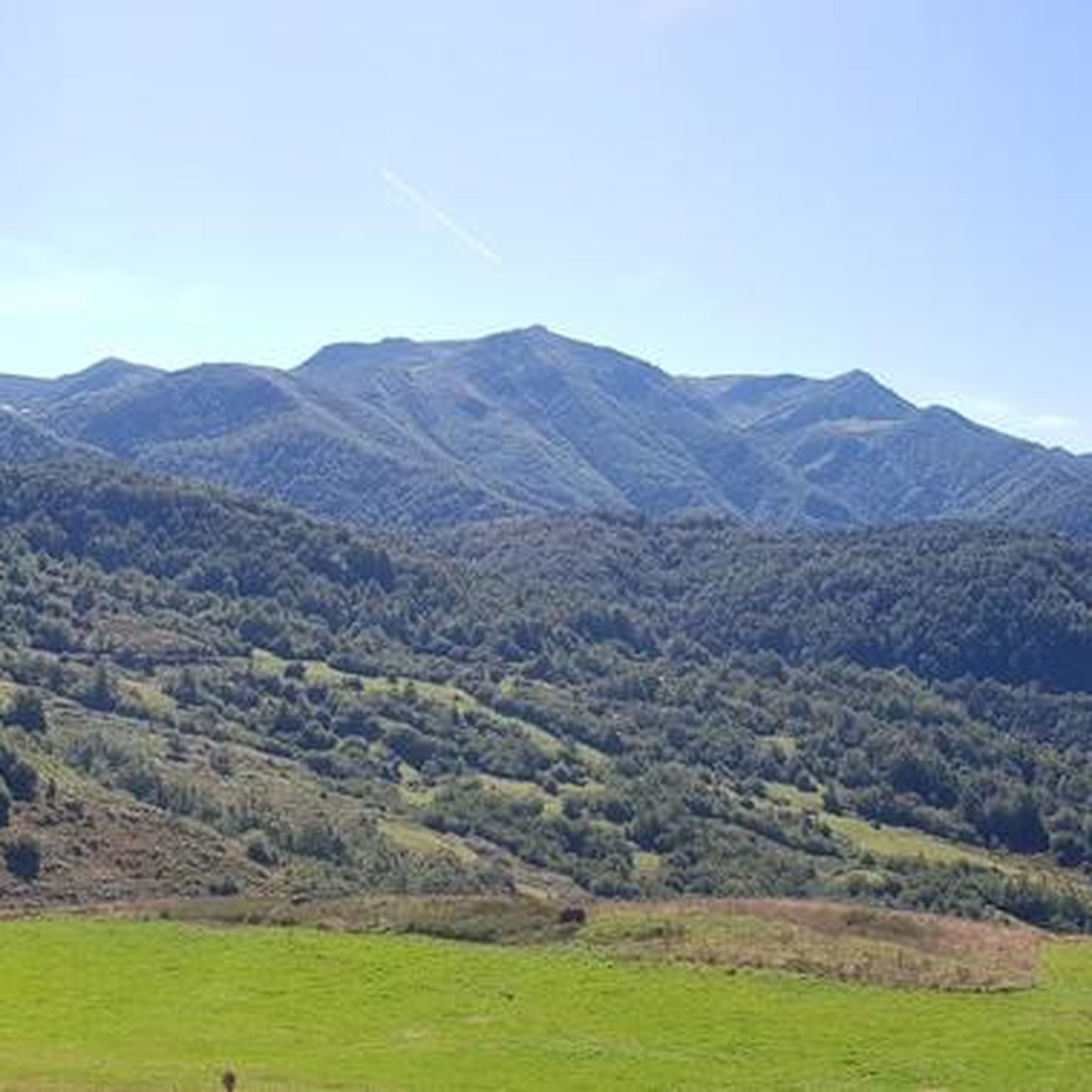
Hiking around Lena
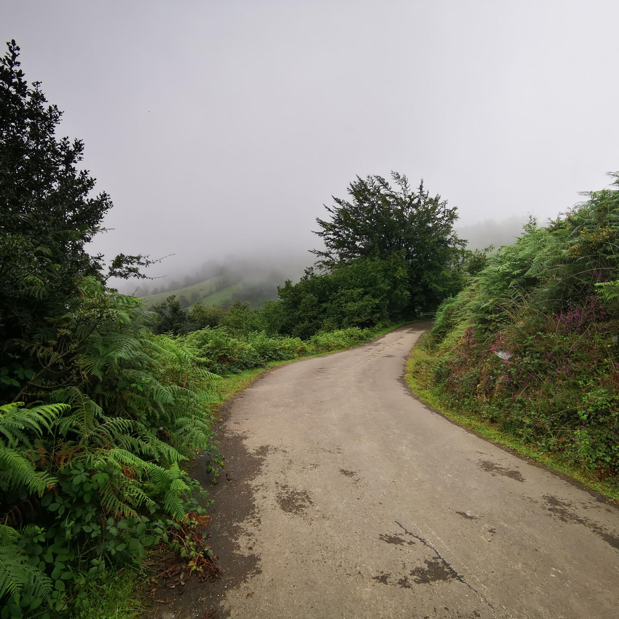
Road Cycling Routes around Lena
Other adventures around Lena


Tips from the Community

Those who live do not forget all the guerrillas, linking loyal support points of the resistance in their fight for peace, freedom, and a more humane and just world. This guerrilla struggle in Asturias lasted for 15 years, from October 21, 1937, to October 13, 1952.
1
0

Pola de Lena is a town steeped in industrial history. It is strategically located at the entrance to Asturias via the highway from León and is an important commercial hub. It is also perfectly situated for starting cycling routes in the surrounding mountains.
0
0


Puerto de Ventana is a mountain pass located in the Cantabrian Mountains, between the Principality of Asturias and the province of León. It lies at an altitude of 1,587 meters and connects the municipality of San Emiliano in León with the Asturian municipality of Teverga. From the pass, you can enjoy a breathtaking view of the San Emiliano Valley, known as Babia de Yuso.
2
0

The data from the second day can be confusing, it is a short but intense stage. On the climb towards the meadows of Puerto de la Magdalena, after the village of Barrio, there are ten kilometres with gradients of 23/25 percent and although there are concrete sections, the walls are devastating, you have to regulate your strength well and arrive at the top with some breath to walk the Camín de la Mesa with joy and ease. The exit of the Senda del Oso from the streets of San Martín is comfortable on asphalt, until a detour that puts the Camino Natural in the shade of a pretty alley of chestnut trees and plots of pasture. In one of the meadows there is a reserve of European bison and other species of wild fauna that inhabited these Cantabrian valleys in prehistory, they are the animals that are represented in the cave paintings of several sites in Teverga. The animal enclosure is next to the interpretation centre of the Prehistory Park, a journey into the life of the Palaeolithic and the evolution of man through the interpretation of cave art, the inspiration of the figures, utensils and tools of that time reproduced in various cave spaces. The route leaves the Senda del Oso, leaves the company of the villages of the Teverga valley in San Salvador and goes up the road to Barrio, a small village nestled in the Somoza valley. The path continues straight ahead and soon the first concrete ramps appear marking the style of the climb, there is no respite, first through the forests of chestnut, oak and hazelnut trees and then through the beech forest to the clearing of the Braña de Carroceda. The slope seems to ease but there is still a cement ramp to the Braña de Fonfría, the effort has been worth it. The teito huts are distributed on the slopes of the mountain pasture, between the panoramic mountains of the Teverga valley, the shining mountain pastures, the flocks and the stands of holly, beech and birch trees that add wonderful notes of colour during the autumn. The track traces the last switchbacks and finally the spectacular green fields of Puerto de la Magdalena appear, full of cows and horses. At the crossroads with the Camín Real de la Mesa there is a cairn to clear up any doubts. The path gives a respite along the edge of the mountain range. The tracks go along a dizzying slope in Los Cumales and reach the gate of the Muru pass, the entrance to the fantastic pastoral landscapes of the Puertos de la Mesa. The tracks that continue straight ahead lead to the Braña de la Mesa and are marked with the signs for the short and long distance trails. The route continues uphill to the left, first along some rocky ruts and then along the side of Cuernu del Aguil, passing through the meadow of Collado del Arguil and ending at the cattle enclosure that marks the division between Asturias and León. Collado del Muñón or Puerto de la Mesa is at a lower altitude and to the right, following the enclosure in a southwesterly direction. On the ground there are ruts left by the cattlemen's cars, although the grass vines are very dense and it is practically cross-country but easy. At Puerto de la Mesa there are signs, there are the milestones of the old Roman road of Camín Real de la Mesa, the signs for the GR-101 and it is the entrance to the León valleys of Babia.
0
0

Another place on this route to contemplate beautiful landscapes.
0
0
Beautiful, majestic, the mountain imposes.
0
0
Lagoon located at the base and behind Pico Polio.
0
0
Frequently Asked Questions
What is the general difficulty level of gravel biking trails in Lena?
Gravel biking in Lena is primarily suited for experienced riders. Most routes feature significant elevation changes, with 11 out of the 12 available routes rated as difficult. You can expect challenging mountain ascents and descents through varied terrain.
Are there any family-friendly or easy gravel bike routes in Lena?
While most gravel routes in Lena are challenging, there is one moderate route available. However, the region is characterized by substantial elevation changes and technical sections, making it generally more suitable for experienced riders rather than families with young children or beginners.
What kind of terrain will I encounter on gravel bike trails around Lena?
You will encounter a diverse landscape, including mountainous regions, historical mining areas, and dense forested sections. Trails often feature a mix of natural paths and gravel roads, leading through remote areas with open mountain views and natural lagoons.
Are there any circular gravel bike routes in Lena?
Yes, several routes in Lena are designed as loops. For example, the Polio Lagoon – Rozamayor Recreation Area loop from Mieres del Camín offers a challenging ride exploring a lagoon and recreation area. Another option is the Section through trees near Salas – Santa Cristina de Lena loop from Pola de Lena, which takes you through forested sections and historical sites.
What are some notable natural landmarks or points of interest along the gravel routes?
The region is rich in natural beauty. You can explore significant mountain passes like La Cubilla Pass and Ventana Pass. Some routes also pass by natural lagoons and offer views of prominent peaks such as Cruz de San Salvador.
What is the best time of year for gravel biking in Lena?
Given the mountainous terrain and potential for winter conditions, the best time for gravel biking in Lena is typically from late spring through early autumn (May to October). During these months, you'll generally find more favorable weather, less snow at higher elevations, and longer daylight hours.
Are there any gravel bike routes that pass through historical mining landscapes?
Absolutely. Lena's history is deeply tied to mining, and several gravel routes traverse these unique landscapes. The Gravel route through the mines and mountains of Asturias is a prime example, offering a challenging ride through these historical areas.
What kind of distances and elevation gains can I expect on gravel bike trails in Lena?
The routes in Lena vary significantly in length and elevation. You can find challenging rides like the Gravel route through the mines and mountains of Asturias, which covers over 115 km with nearly 3,800 meters of climbing. Shorter, yet still difficult, options like the La Cubilla Pass loop from Las Fuentes are around 42 km with about 1,500 meters of ascent.
What do other gravel bikers enjoy most about riding in Lena?
Komoot users often praise the challenging mountain ascents, the unique experience of riding through historical mining landscapes, and the trails winding through dense woodlands. The region offers a true adventure for those seeking demanding gravel rides with stunning natural scenery.
Are there any specific mountain passes that gravel bikers can reach in Lena?
Yes, the region is known for its mountain passes. You can ride to prominent passes such as La Cubilla Pass, which is part of a challenging loop from Las Fuentes, and Ventana Pass, featured in the Huerta Cave – Ventana Pass loop from Torrebarrio.
What should I consider regarding gear for gravel biking in Lena?
Given the difficult terrain, significant elevation changes, and remote sections, it's advisable to be well-prepared. A robust gravel bike with appropriate gearing for climbing, durable tires, and essential repair tools are highly recommended. Always carry enough water and food, and be prepared for varying weather conditions, especially in mountainous areas.
Most popular attractions around Lena

Get inspired with the komoot mobile app


Explore more
Browse the best Gravel rides in other regions.
