The best gravel rides around Vilagarcía De Arousa
4.8
(6)
116
riders
11
rides
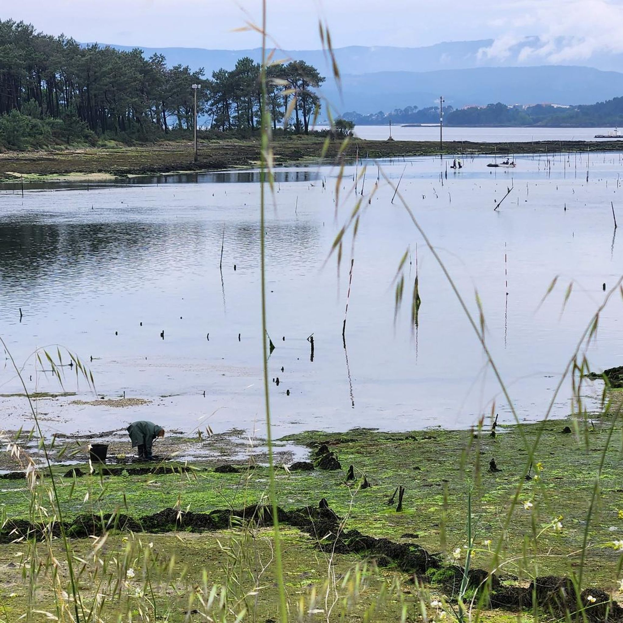
Gravel biking around Vilagarcía De Arousa offers a diverse landscape characterized by coastal paths, river valleys, and extensive forested areas. The region, located in Galicia, features varied terrain suitable for gravel bikes, from flatter sections along the Arousa estuary to more challenging climbs into the surrounding hills. Riders can expect a mix of natural surfaces and rural tracks, often passing through small villages and historical sites.
Best gravel bike trails around Vilagarcía De Arousa
- The most popular gravel bike trail…
Last updated: July 2, 2026
32
riders
141km
08:29
1,620m
1,620m
Hard gravel ride. Very good fitness required. Mostly paved surfaces. Suitable for all skill levels.
4.0
(3)
32
riders
71.9km
04:05
770m
770m
Hard gravel ride. Very good fitness required. Mostly paved surfaces. Suitable for all skill levels.

Sign up for free
5.0
(1)
12
riders
162km
10:11
2,230m
2,230m
Hard gravel ride. Very good fitness required. Mostly paved surfaces. Suitable for all skill levels.
11
riders
54.3km
03:29
620m
620m
Hard gravel ride. Very good fitness required. Mostly paved surfaces. Suitable for all skill levels.
5.0
(1)
8
riders
71.4km
04:23
610m
610m
Hard gravel ride. Very good fitness required. Mostly paved surfaces. Suitable for all skill levels.
Get access to more routes and recommendations from other explorers.
Sign up for free
Already have an account?
Our route recommendations are based on thousands of hikes, rides, and runs completed by other people on komoot.
Start today with a free account
Your next adventure awaits.
Login or Signup
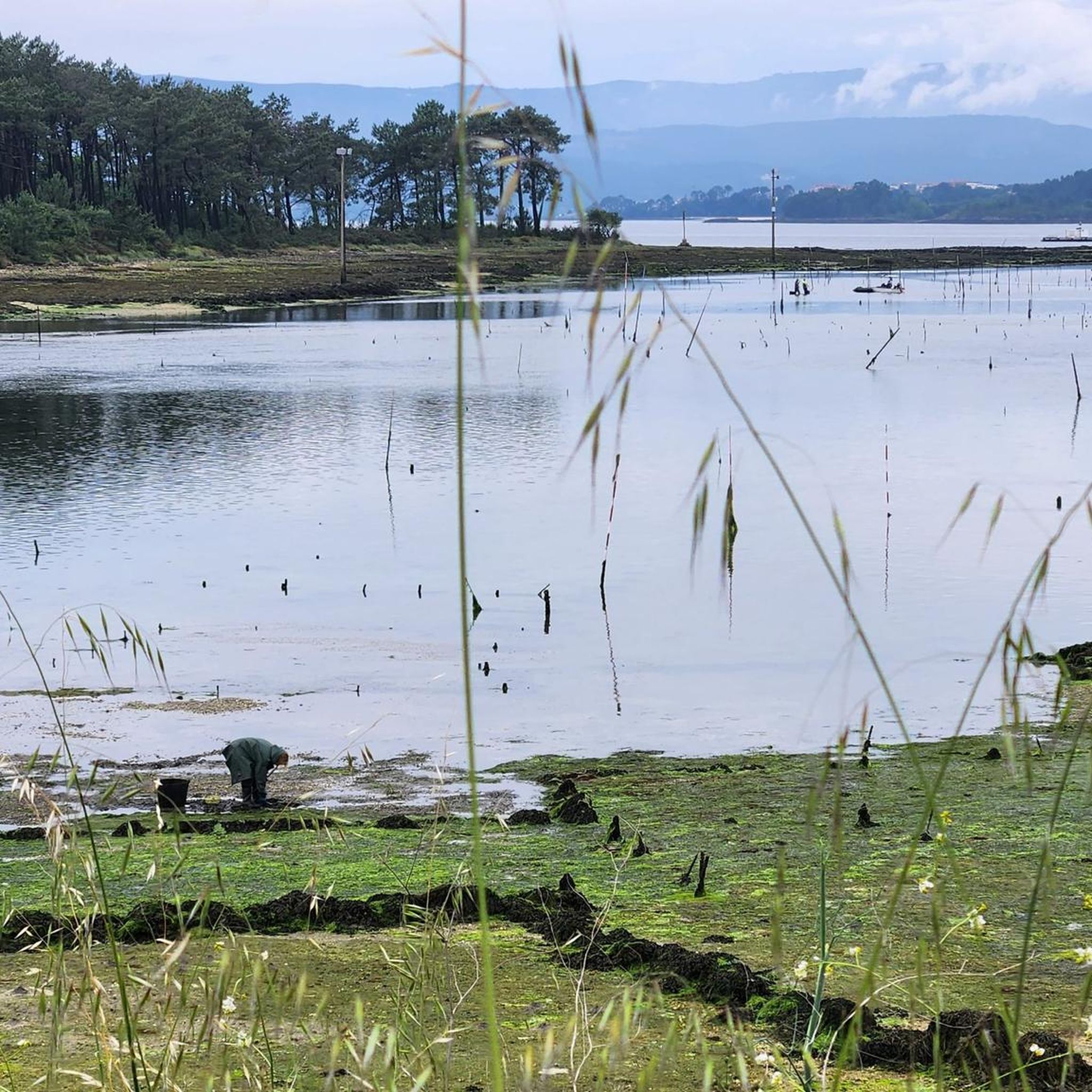
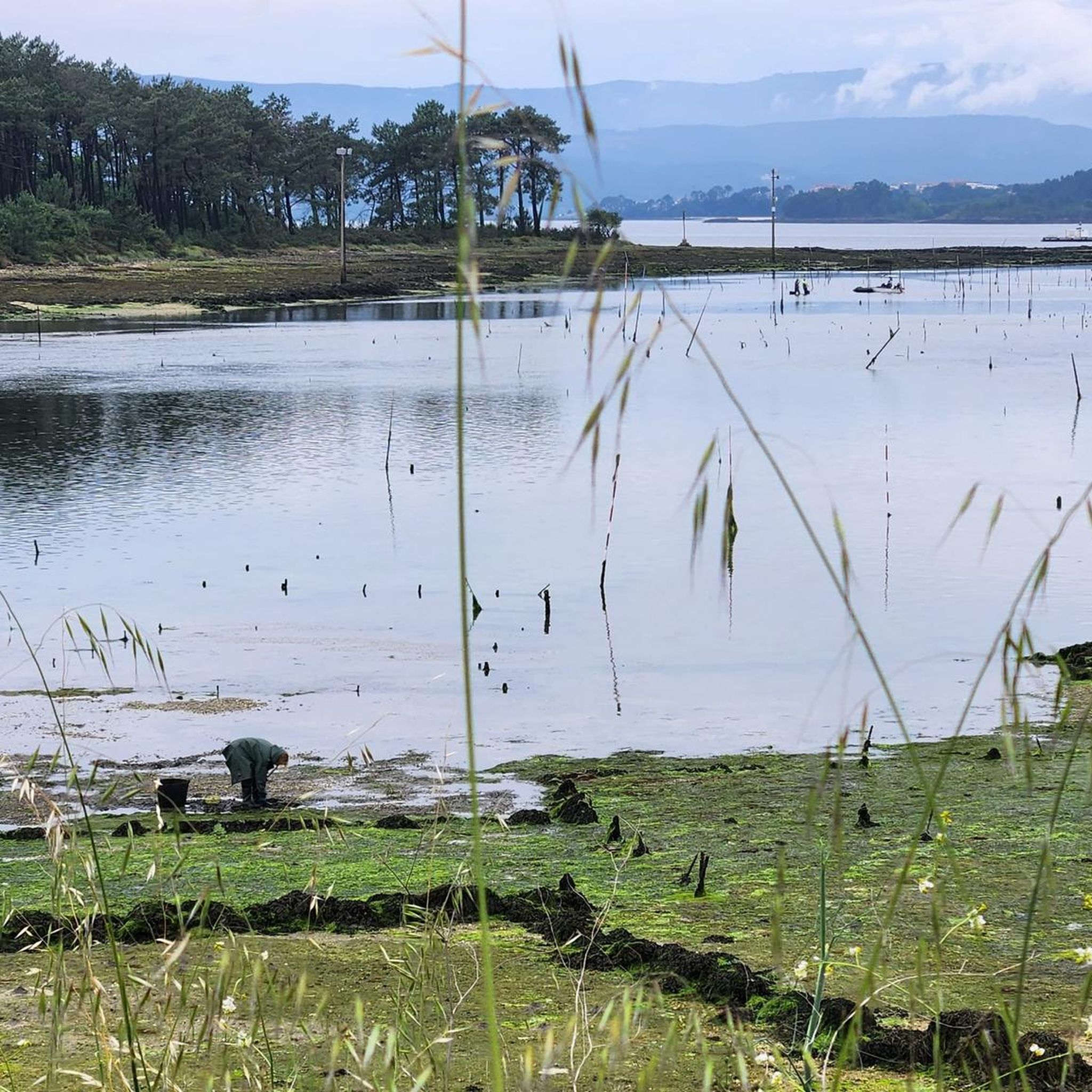
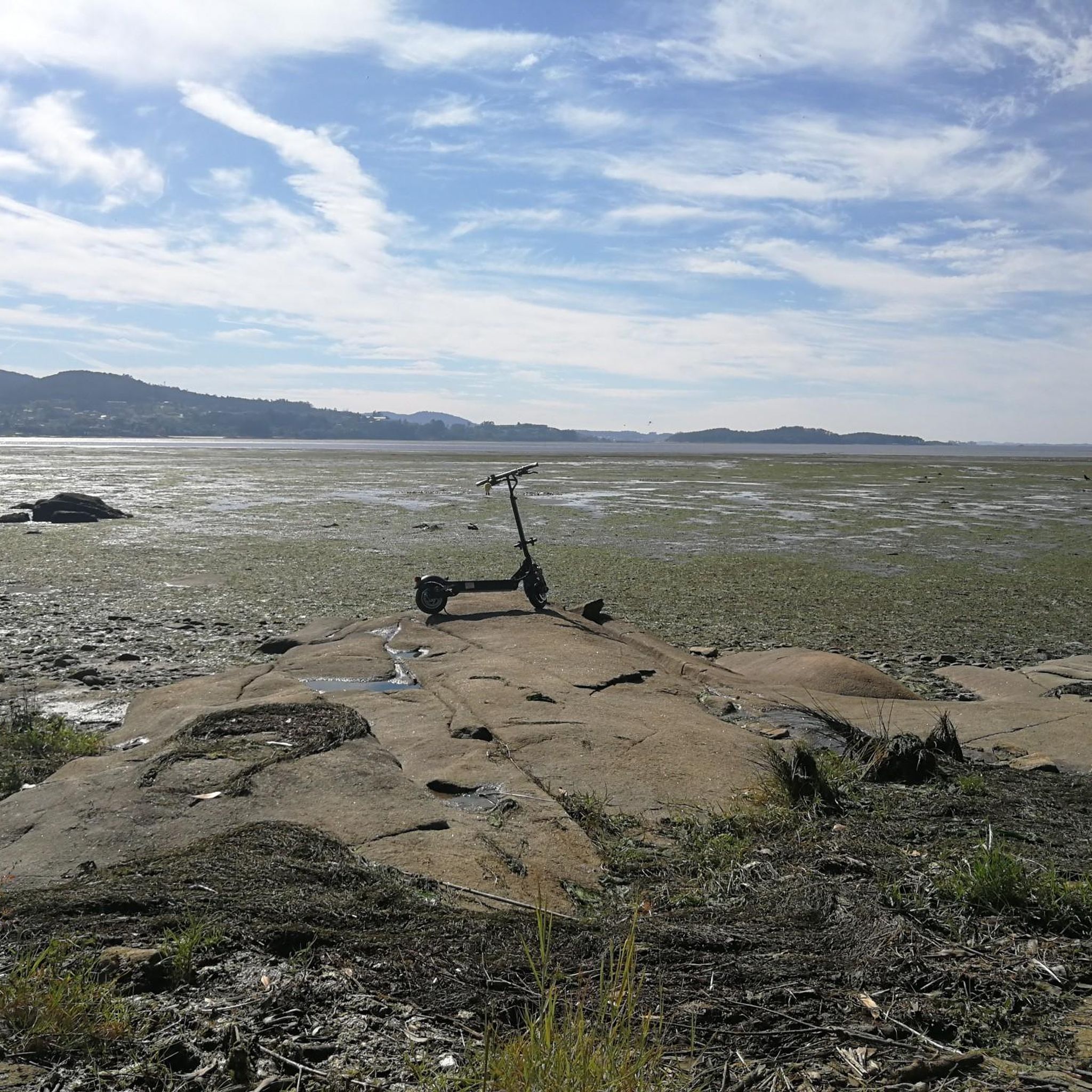
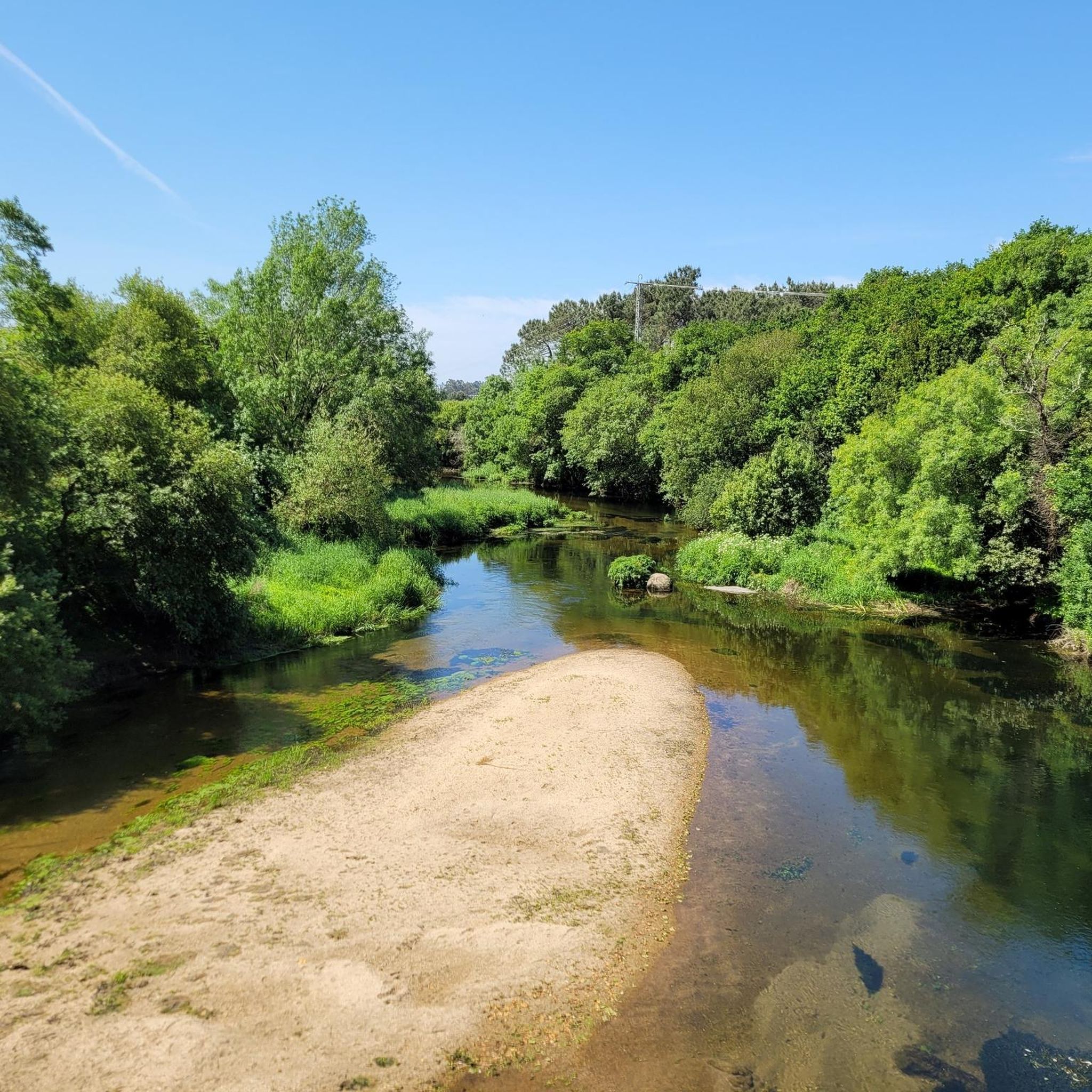
Tips from the Community


A beautiful route with a few steep and bumpy sections. At a reasonable speed, you can easily cover it even on a touring bike.
1
1


The Fonte da Comunidade de Montanha is a historic fountain located in the Comunidade de Montanha, a territory that encompasses several parishes in the municipality of Pontevedra, in the province of Pontevedra, in the region of Galicia, in northwestern Spain. Specifically, the fountain is located in the Serra do Suído, a mountainous area that is part of the Comunidade de Montanha.
0
0
The Church of Santa Maria de Alba is a Romanesque church located in Alba, a parish in the municipality of Pontevedra, in the province of Pontevedra, in the region of Galicia, in northwestern Spain.
0
0
Path that needs a lot of care
2
0
Frequently Asked Questions
How many gravel bike trails are available around Vilagarcía De Arousa?
There are 9 gravel bike routes documented around Vilagarcía De Arousa on komoot, offering a variety of experiences for different skill levels.
Are there any beginner-friendly gravel bike routes in Vilagarcía De Arousa?
While many routes in the area are challenging, there are a couple of moderate options that might be more suitable for beginners or those looking for a less strenuous ride. The Green Route – Portas Viaduct loop from Vilagarcía de Arousa is a good example, offering a mix of riverside scenery over 14.0 miles (22.6 km).
What is the best time of year for gravel biking in Vilagarcía De Arousa?
The region of Vilagarcía De Arousa, located in Galicia, generally experiences mild winters and warm summers. Spring (April-June) and Autumn (September-October) are often ideal for gravel biking, offering pleasant temperatures and less rainfall than winter, while avoiding the peak heat of summer. Always check local weather forecasts before heading out.
What kind of terrain can I expect on gravel bike trails in Vilagarcía De Arousa?
You can expect a diverse landscape featuring coastal paths, river valleys, and extensive forested areas. The terrain varies from flatter sections along the Arousa estuary to more challenging climbs into the surrounding hills, with a mix of natural surfaces and rural tracks.
Are there any long-distance or advanced gravel bike routes in the area?
Yes, Vilagarcía De Arousa offers several challenging routes for experienced gravel bikers. For instance, the Ponte Sampaio Bridge – Mysterious forest loop from Portela is a difficult 87.7 miles (141.2 km) trail with significant elevation gain, exploring dense forests. Another demanding option is the Caldas de Reis – Mysterious forest loop from Portas, covering 71.6 km.
What attractions can I see along the gravel bike trails in Vilagarcía De Arousa?
Many routes pass by natural and historical points of interest. You might encounter beautiful waterfalls like the Barosa Waterfall and Mills or the Valga Mills Waterfall. Historical bridges, such as the Roman Bridge over the Bermaña River, are also features on some trails, like the Roman Bridge over the Bermaña River – Mysterious forest loop from Illa de Cortegada.
Are there any circular gravel bike routes around Vilagarcía De Arousa?
Yes, many of the gravel bike routes in the area are designed as loops, allowing you to start and finish at the same point. Examples include the Community of Montes Fountain – Azucarera de Portas loop from O Pazo and the Green Route – Portas Viaduct loop from Vilagarcía de Arousa.
What do other gravel bikers say about the trails in Vilagarcía De Arousa?
The gravel biking routes in Vilagarcía De Arousa are highly rated by the komoot community, with an average score of 4.75 stars. Riders often praise the diverse scenery, which includes coastal views, river valleys, and dense woodlands, as well as the variety of terrain suitable for gravel bikes.
Are there any routes that pass by cafes or places to stop for refreshments?
While specific cafes aren't listed for every route, many trails in Vilagarcía De Arousa pass through or near small villages and towns. These often provide opportunities to stop for refreshments or a meal, especially on longer routes. Planning your stops in advance is always recommended.
What should I consider when planning a gravel bike trip to Vilagarcía De Arousa?
Consider the varied terrain, which includes both coastal and hilly sections. Ensure your bike is suitable for mixed surfaces. Check the weather forecast, especially for rain, as Galicia can be wet. Also, be mindful of the route difficulty; there are options ranging from moderate to difficult, so choose one that matches your fitness and experience level.
Are there any routes that offer views of the Arousa estuary?
Yes, the region's landscape is characterized by its proximity to the Arousa estuary. Many routes incorporate sections along the coast or offer panoramic views of the estuary, providing a unique blend of maritime and inland scenery for your ride.
Most popular routes around Vilagarcía De Arousa
Most popular attractions around Vilagarcía De Arousa

Get inspired with the komoot mobile app


Explore more
Browse the best Gravel rides in other regions.
