The best gravel rides around Cájar
4.5
(92)
1,612
riders
160
rides
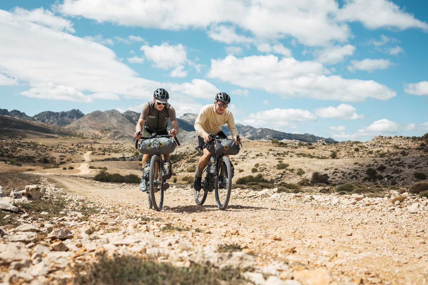
Gravel biking around Cájar offers diverse landscapes near Granada and the Sierra Nevada Natural Park. The region features varied terrain, including river valleys along the Genil and Dílar rivers, and significant elevation changes with ascents to over 1,100 meters. Routes combine paved and unpaved segments, providing challenging climbs and technical descents through mountain areas.
Best gravel bike trails around Cájar
- The most popular gravel bike trail is Aurora Mine – Santa Fe loop from Huétor Vega, a 37.9 miles…
Last updated: July 3, 2026
5.0
(1)
11
riders
38.0km
03:50
1,290m
1,290m
Hard gravel ride. Very good fitness required. Mostly paved surfaces. Suitable for all skill levels.
5.0
(3)
48
riders
64.1km
04:20
1,130m
1,130m
Hard gravel ride. Very good fitness required. Mostly paved surfaces. Suitable for all skill levels.

Sign up for free
3.7
(3)
49
riders
52.7km
03:59
1,220m
1,220m
Hard gravel ride. Very good fitness required. Mostly paved surfaces. Suitable for all skill levels.
4.5
(6)
40
riders
27.9km
01:47
230m
230m
Moderate gravel ride. Good fitness required. Mostly paved surfaces. Suitable for all skill levels.
5.0
(1)
9
riders
73.8km
05:44
1,650m
1,650m
Hard gravel ride. Very good fitness required. Mostly paved surfaces. Suitable for all skill levels.
Get access to more routes and recommendations from other explorers.
Sign up for free
Already have an account?
Our route recommendations are based on thousands of hikes, rides, and runs completed by other people on komoot.
Start today with a free account
Your next adventure awaits.
Login or Signup
Other adventures around Cájar

Tips from the Community

Place to pass through to reach La Cortijuela at the foot of El Trevenque
0
0
Spectacular and unparalleled
0
0
From puente verde to pinillos, the route is beautiful and pleasant. This point was recently remodeled.
0
0

This farmhouse houses a visitor center and has a fountain and a small picnic area, perfect for a break. The surrounding area is a botanical park. A good place to rest, with a wonderful view of the Trevenque.
1
0

The river destroyed the bridge last winter. Currently, it is only possible to cross the ford, but it depends on the water level.
0
0

The Church of San Gil and Santa Ana, popularly known as the Church of Santa Ana, is a 16th-century Mudéjar monument located in one of Granada's most charming corners: Plaza Nueva, right at the beginning of the Carrera del Darro and at the foot of the Alhambra. Built in 1537 by order of the parish of the same name, on the site of a former main mosque (Almanzora). The project is the work of the renowned architect Diego de Siloé, a central figure of the Renaissance in Granada. Its Mudéjar tower was erected between 1561 and 1563 by Juan Castellar, characterized by its framed openings and alfiz decoration.
12
0

A good place to rest, with picnic tables and benches and a wonderful view of the Trevenque.
1
0

The Church of San Gil and Santa Ana is a small church with a Mudéjar style, located in Plaza Nueva, where the Carrera del Darro begins, marking the start of our route through the Albaicín and Sacromonte districts. It was built according to a design by Diego de Siloé during the second third of the 16th century (1537-1548) on the site formerly occupied by the Almanzora mosque, founded by King Badis. This mosque stood at the foot of the Alhambra, between the right bank of the Darro River and the Almanzora neighborhood, which were connected by a stone bridge. Once the church was built, this bridge was renamed the Santa Ana Bridge. It is in the Mudéjar style.
3
1
Frequently Asked Questions
How many gravel bike trails are available around Cájar?
Cájar offers a wide selection of gravel biking opportunities, with over 140 routes available. These range from moderate to difficult, catering to various skill levels.
What kind of terrain can I expect on gravel bike trails around Cájar?
The terrain around Cájar is incredibly diverse, featuring river valleys along the Genil and Dílar rivers, and significant elevation changes as you approach the Sierra Nevada Natural Park. You'll encounter a mix of paved roads and challenging unpaved segments, including demanding gravel climbs with gradients up to 21% and technical descents.
What is the overall difficulty level of gravel biking in Cájar?
Gravel biking in Cájar is generally challenging. While there are a few easy routes, the majority of the 144 available trails are classified as moderate (47 routes) or difficult (94 routes), often involving substantial elevation gain and varied surfaces.
Are there any family-friendly gravel bike routes in Cájar?
While many routes around Cájar are quite demanding, there are a few easier options suitable for families or those seeking a less strenuous ride. It's always recommended to check the route details for elevation and surface type to ensure it matches your family's ability.
What do other gravel bikers enjoy most about Cájar?
The komoot community highly rates the gravel biking experience in Cájar, with an average score of 4.7 stars from over 60 reviews. Riders often praise the stunning mountain scenery, the diverse terrain, and the immersive experience of riding through untouched nature.
What are some notable natural attractions or landmarks I can see along the gravel bike trails?
Many routes offer spectacular views and pass by significant natural landmarks. You can explore areas near the Los Cahorros Gorge, Monachil, known for its hanging bridges and waterfalls, or ride past the Hanging Bridge of Los Cahorros. The Sierra Nevada Natural Park itself provides breathtaking panoramas, including views of snow-capped peaks and glimpses of the Mediterranean.
Are there any routes that pass by reservoirs or aqueducts?
Yes, some routes incorporate these features. For example, the Canales Reservoir – French Aqueduct loop from Palacio Deportes is a difficult 46 km path that features significant elevation gain as it circles the Canales Reservoir.
Can I find routes that explore local villages or historical sites?
While the focus is on natural landscapes, some routes do pass through or near charming villages. For instance, the Pinos Genil village – Hoya de la Mora loop from La Zubia is a longer trail that leads through mountain areas and offers glimpses of local life.
Are there any routes that take me through deep mountain areas?
Absolutely. Many gravel routes around Cájar wind through deep mountain areas, offering immersive experiences where you might ride for hours surrounded by untouched nature. The La Teja Spring – Cueva del Gato Viewpoint loop from Palacio Deportes is a challenging 73.8 km route that takes you deep into the mountainous terrain.
What are some of the longer gravel biking routes available?
For those seeking longer rides, Cájar offers several options. The Quéntar Reservoir – Aguas Blancas Road loop from Palacio Deportes is a difficult 61.2 km trail, while the Aurora Mine – Santa Fe loop from Huétor Vega covers nearly 61 km, exploring varied terrain.
Are there any specific viewpoints accessible by gravel bike?
Yes, the region is rich in natural viewpoints. Routes within or bordering the Sierra Nevada Natural Park, particularly near the Dílar River, offer spectacular panoramas of the valley and Granada. While no specific viewpoint routes are listed, many trails will lead to elevated positions with expansive views.
Most popular attractions around Cájar

Get inspired with the komoot mobile app


Explore more
Browse the best Gravel rides in other regions.
