The best gravel rides around Negreira
5.0
(2)
80
riders
5
rides
Gravel biking around Negreira offers routes through a landscape characterized by rolling hills, river valleys, and historical paths. The region features varied terrain, including sections of the Camino de Santiago, suitable for gravel exploration. Elevations range from gentle climbs to significant ascents, providing diverse challenges for riders. The area is defined by its position on the Tambre River, eucalyptus forests, and numerous historical sites.
Best gravel bike trails around Negreira
- The most popular gravel bike trail is Ponte Maceira Stone…
Last updated: July 15, 2026
5.0
(1)
35
riders
90.7km
06:13
1,640m
1,630m
Hard gravel ride. Very good fitness required. Mostly paved surfaces. Suitable for all skill levels.
5.0
(1)
41
riders
141km
09:37
2,580m
2,580m
Hard gravel ride. Very good fitness required. Mostly paved surfaces. Suitable for all skill levels.

Sign up for free
2
riders
32.1km
02:11
500m
500m
Hard gravel ride. Very good fitness required. Mostly paved surfaces. Suitable for all skill levels.
1
riders
Moderate gravel ride. Good fitness required. Mostly paved surfaces. Suitable for all skill levels.
1
riders
26.7km
01:50
370m
370m
Moderate gravel ride. Good fitness required. Mostly paved surfaces. Suitable for all skill levels.
Our route recommendations are based on thousands of hikes, rides, and runs completed by other people on komoot.
Start today with a free account
Your next adventure awaits.
Login or Signup
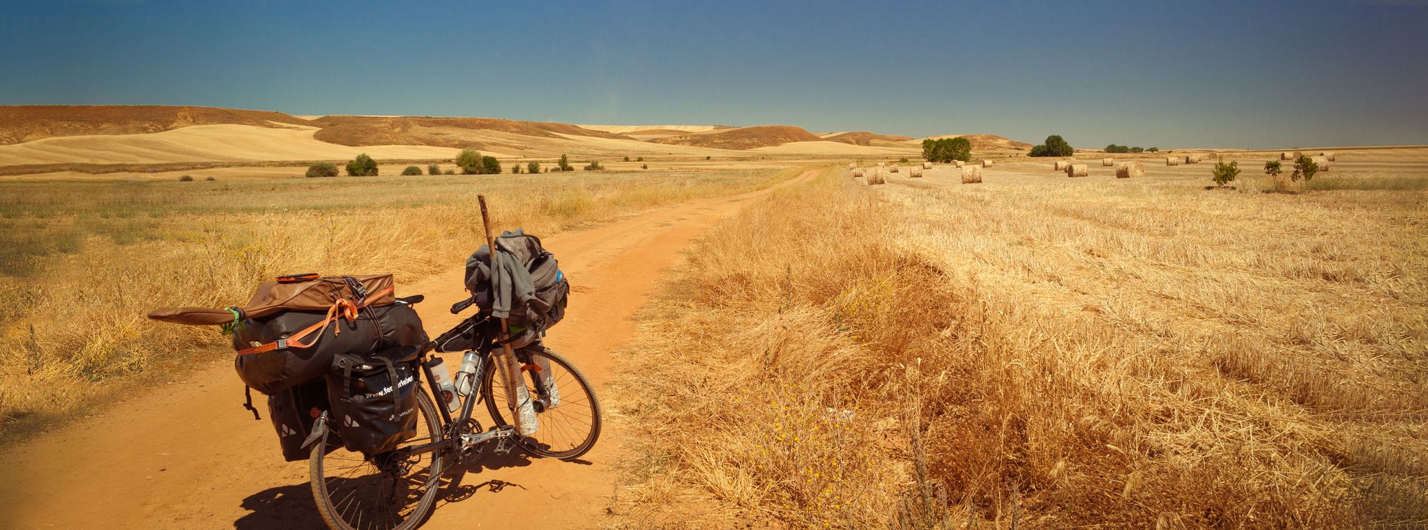
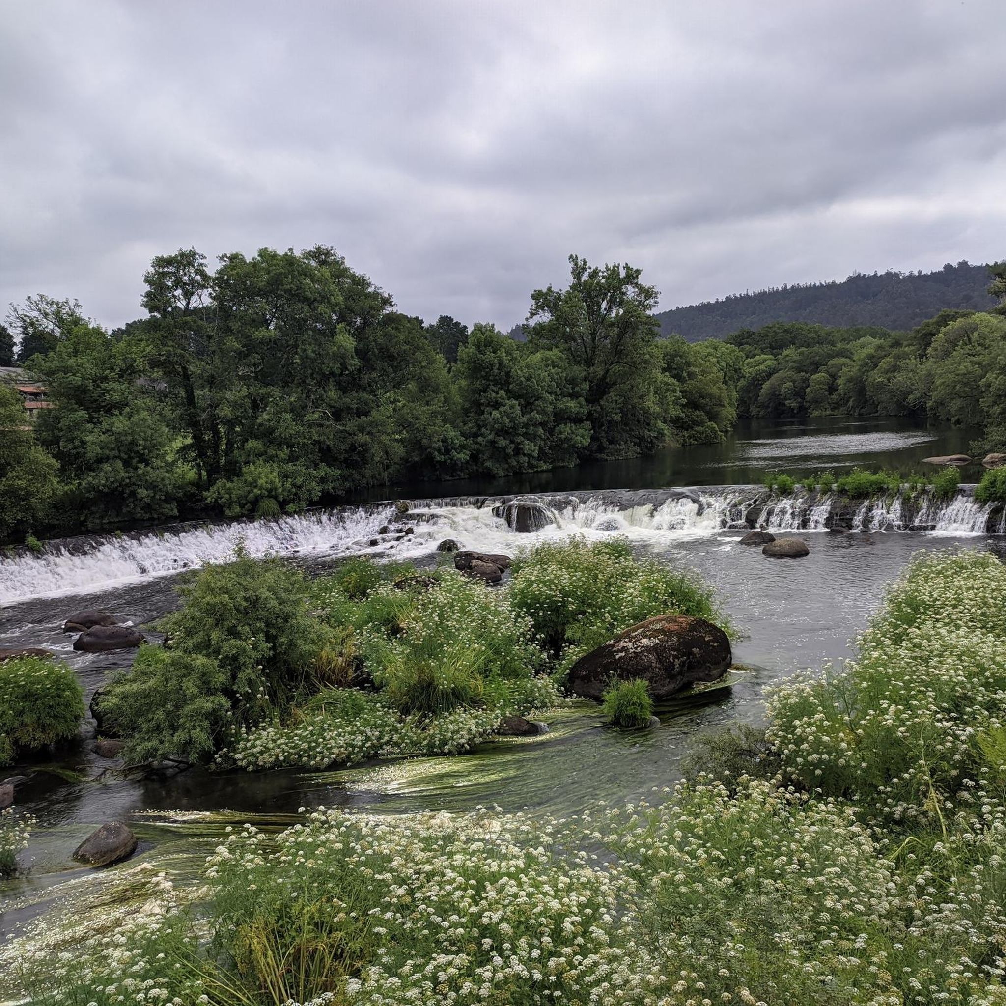
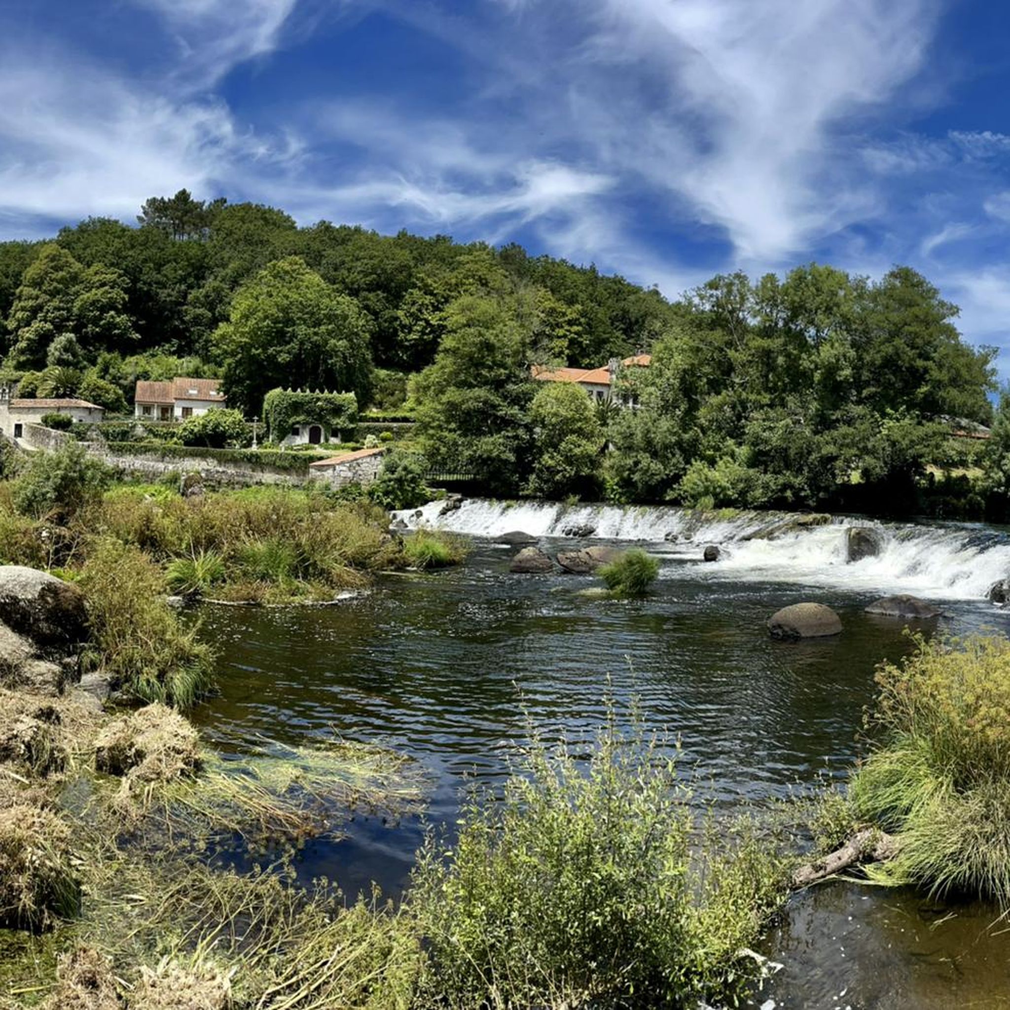
Other adventures around Negreira

Tips from the Community


Along with the Pazo da Albariña manor house, the Pazo do Cotón stands out in the townscape. It is located on the Camino Real (Real Road) to Fisterra and was built between the 17th and 18th centuries. At the Porta da Capela, it spans the road with three arcades, and the upper wall is crenellated. The first settlements in the Negreira area were located at the strategically important ford over the Río Tambre, as well as on the main road to the coast (from Grandimirun, now Brandomil, to Aquis Celenis, now Caldas de Reis), and on the other hand, the riverside road along the Tambre, which connects the interior with the coastal region around Noia. Pre-Roman activities can be traced throughout the A Barcala area. The settlement of Nicraria Tamara is mentioned in Roman times, during which time silver mines were also exploited here. In 876, Negreira passed into the possession of the Compostelaan bishop Sisando by royal decree. In 979, Normans raided the Galician coast, and the town was wiped out. After the threat from the Normans and Moors was overcome, the town was rebuilt in 1113. The Catholic Monarchs granted the town a royal privilege known as the Fuero Real, which secured Negreira's independence from the Compostelaan archbishop. Charles V renewed the privilege in 1520.
1
0

The numerous natural fountains in Spain have always fascinated me – an ancient tradition along important routes.
2
3


For those who do it by bike, I recommend taking panniers and nothing on your back.
1
0
Frequently Asked Questions
How many gravel bike trails are available around Negreira?
There are 5 gravel bike routes documented on komoot for the Negreira area, offering a variety of experiences through its unique landscape.
What are the typical difficulty levels for gravel biking in Negreira?
The gravel routes around Negreira primarily feature moderate to difficult ratings. You'll find 2 moderate routes and 3 difficult routes, characterized by rolling hills, river valleys, and sections of the Camino de Santiago, often with significant elevation gains.
Are there any beginner-friendly gravel bike routes in Negreira?
While all routes are categorized for 'easy mountain biking', the actual difficulty grades range from moderate to difficult. For a shorter, moderate option, consider the Ponte Maceira Stone Bridge – Ferreiro Square Negreira loop from Negreira, which is about 9.9 miles (16.0 km) long.
What kind of terrain can I expect on gravel bike trails near Negreira?
Gravel biking around Negreira offers a diverse landscape of rolling hills, picturesque river valleys, and historical paths, including sections of the famous Camino de Santiago. You'll encounter varied surfaces suitable for gravel exploration, from compacted dirt to more rugged tracks.
What are the typical lengths and durations of gravel bike routes in Negreira?
Route lengths vary significantly, from shorter rides like the Ponte Maceira Stone Bridge – Ferreiro Square Negreira loop from Negreira at 9.9 miles (16.0 km) taking about 1 hour 16 minutes, to longer, more challenging tours such as the View of Cee – Gravel on the Camino de Santiago loop from Mazaricos, which spans 67.4 miles (108.5 km) and can take over 9 hours.
Are there many circular gravel bike routes around Negreira?
Yes, all the gravel bike routes listed for Negreira are designed as loops, allowing you to start and finish at the same point. This includes popular options like the Ponte Maceira Stone Bridge – Ponte Maceira loop from Zas and the Augapesada Bridge – Augapesada Bridge loop from Bertamiráns.
What can I see along the gravel bike trails in Negreira?
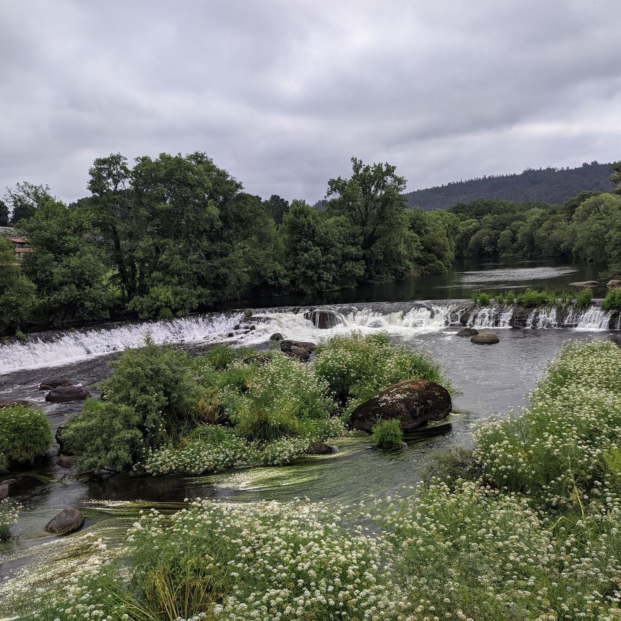
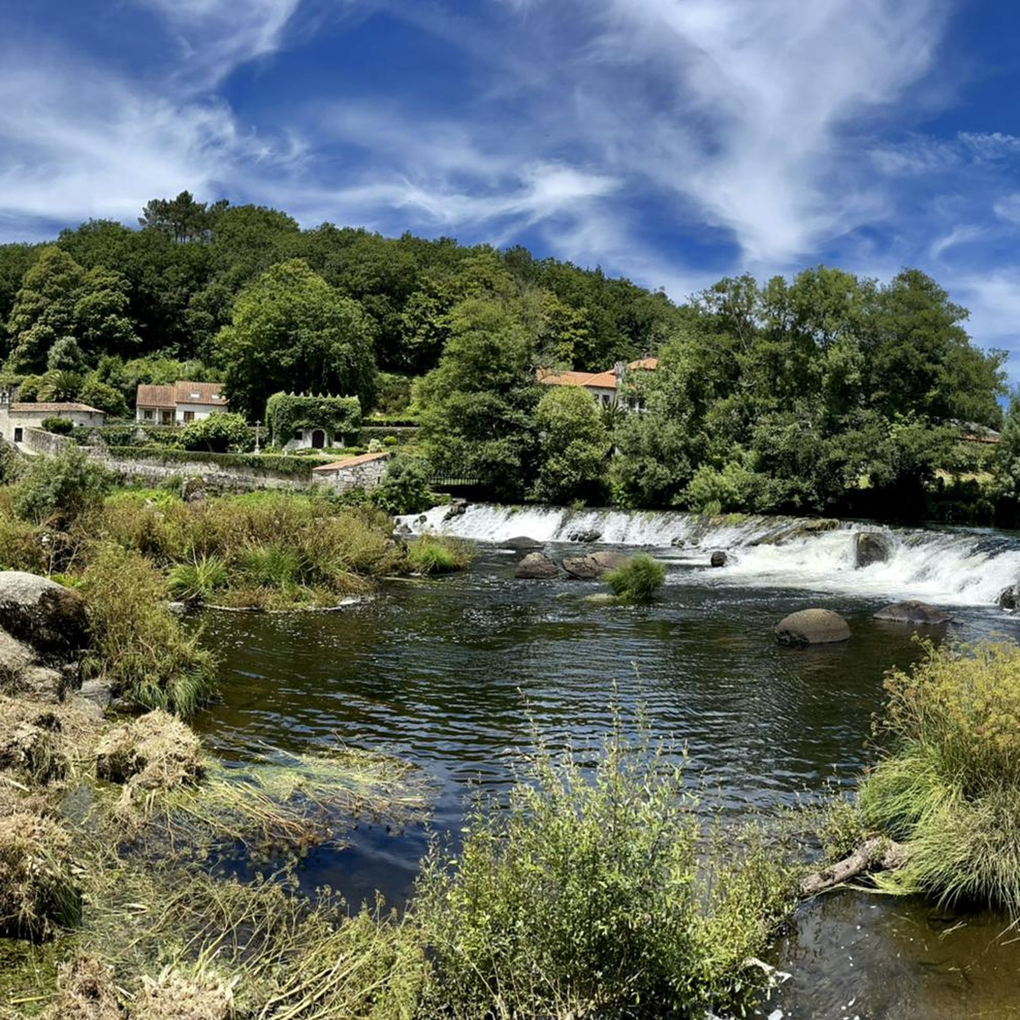
Many routes pass by significant landmarks. For instance, you can explore the historic A Ponte Maceira – Tambre River with waterfall, ride through the serene Eucalyptus Forest on the Camino de Fisterra, or cross the ancient Augapesada Bridge. The town of Negreira itself is a historic town worth exploring.
Are there any gravel bike routes that incorporate sections of the Camino de Santiago?
Absolutely. The View of Cee – Gravel on the Camino de Santiago loop from Mazaricos is a prime example, offering a challenging ride that integrates parts of this historic pilgrimage route, providing expansive views and a unique cultural experience.
Is Negreira a good destination for advanced gravel bikers?
Yes, Negreira offers several challenging routes for experienced gravel bikers. With 3 difficult-rated tours, such as the Ponte Maceira Stone Bridge – Ponte Maceira loop from Zas, you'll find substantial elevation gains and varied terrain to test your skills.
What do other gravel bikers enjoy the most about gravel biking in Negreira?
The area is highly rated by the komoot community, with an average score of 5.0 stars. Reviewers often praise the combination of historical routes, river crossings, and the scenic rolling hills that define the gravel biking experience in Negreira.
Are there any viewpoints or scenic spots along the gravel bike routes?
Many routes offer beautiful vistas, especially those that traverse higher ground or follow river valleys. The View of Cee – Gravel on the Camino de Santiago loop from Mazaricos, for instance, is known for its expansive views, particularly along the Camino sections.
Can I find places to stay or eat near the gravel bike trails?
Negreira and its surrounding areas, being part of the Camino de Santiago, have various amenities. You can find hostels and albergues like Hostel, Santa Marina or Albergue O Refuxio da Ponte. Many towns along the routes will also offer cafes and restaurants.
Most popular attractions around Negreira

Get inspired with the komoot mobile app


Explore more
Browse the best Gravel rides in other regions.
