The best gravel rides around Castelló De Rugat
4.8
(5)
79
riders
24
rides
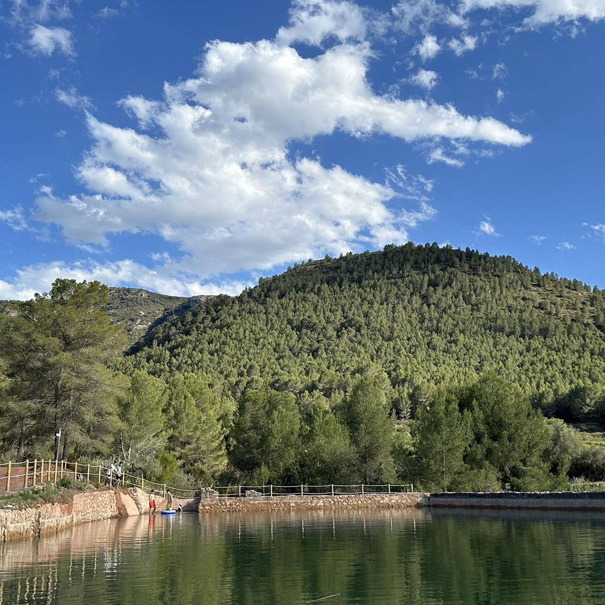
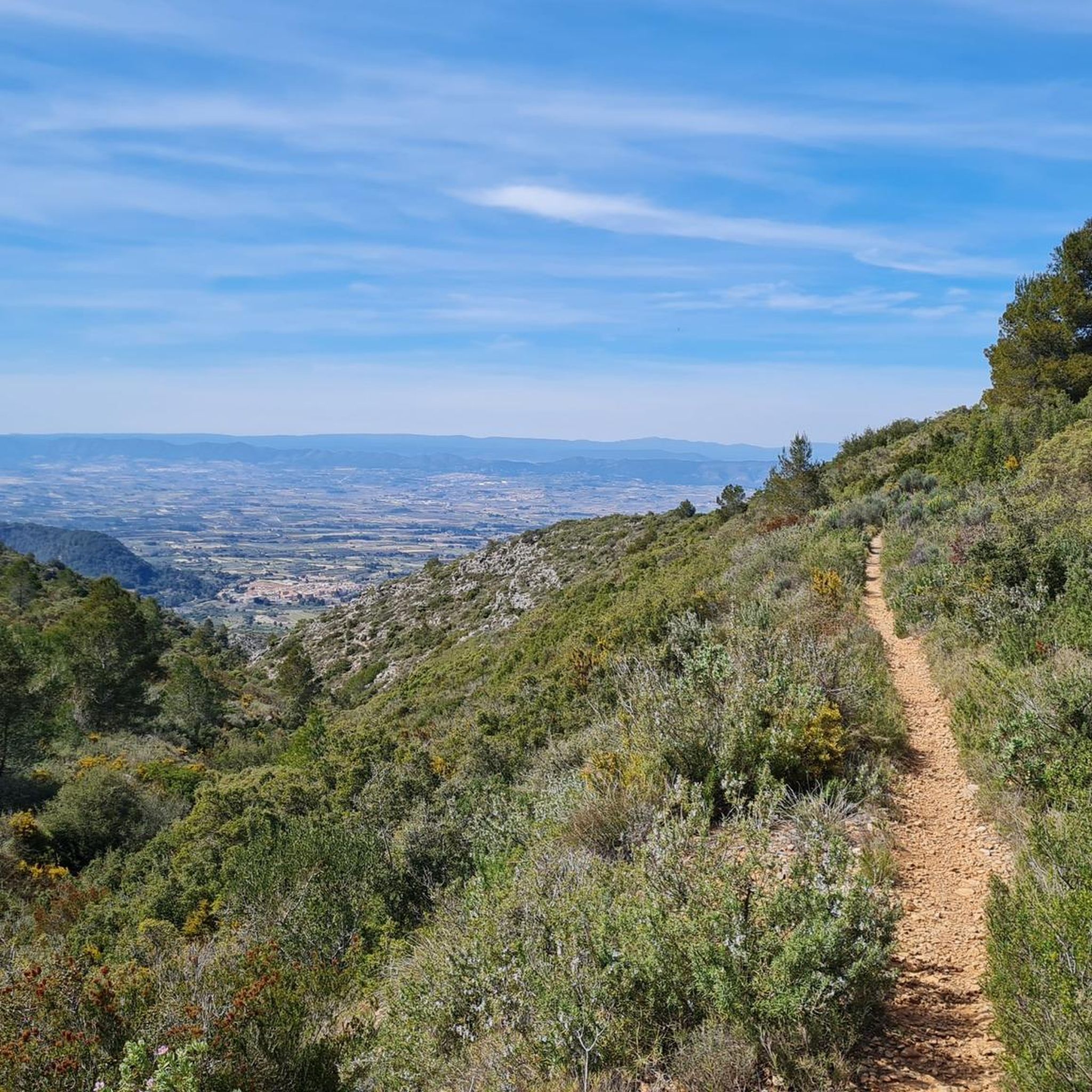
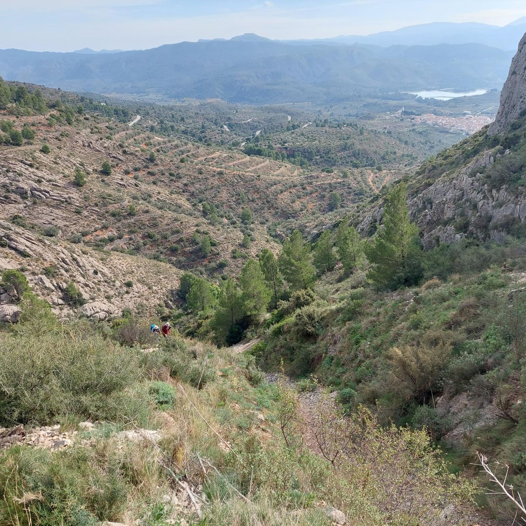
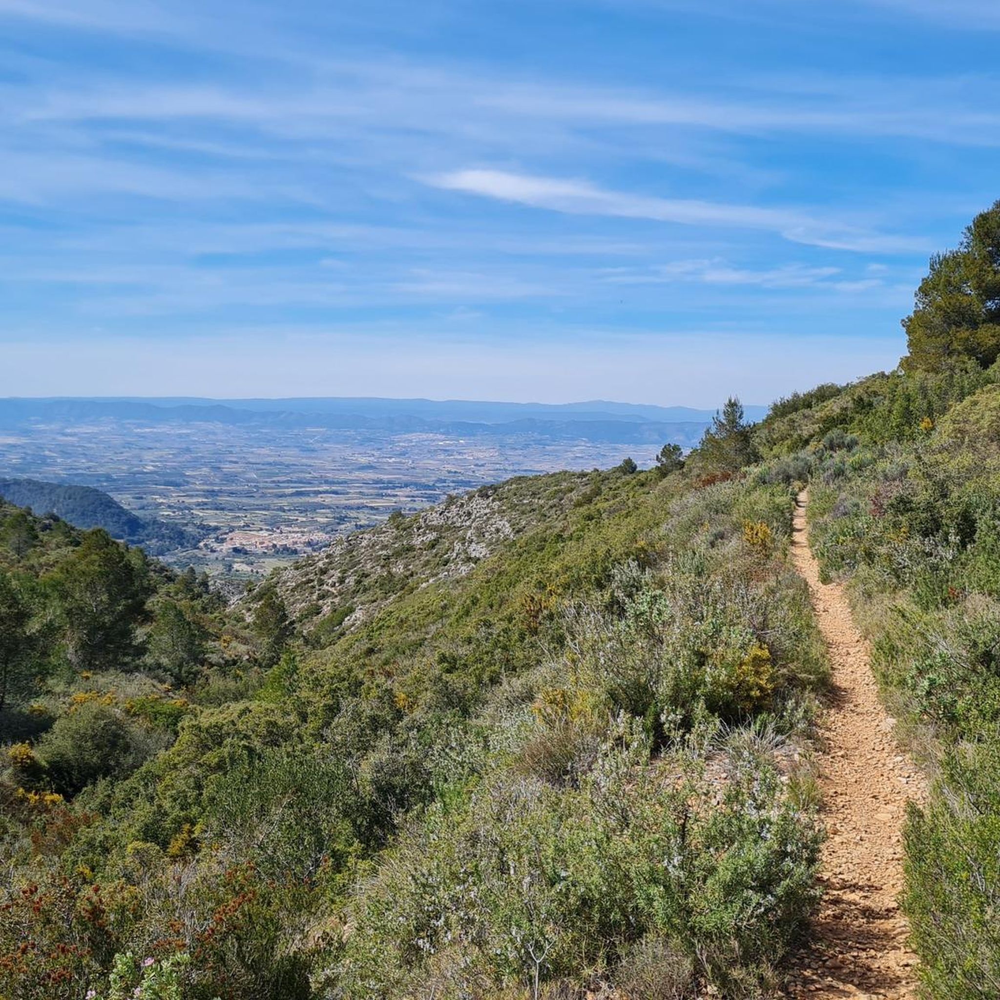
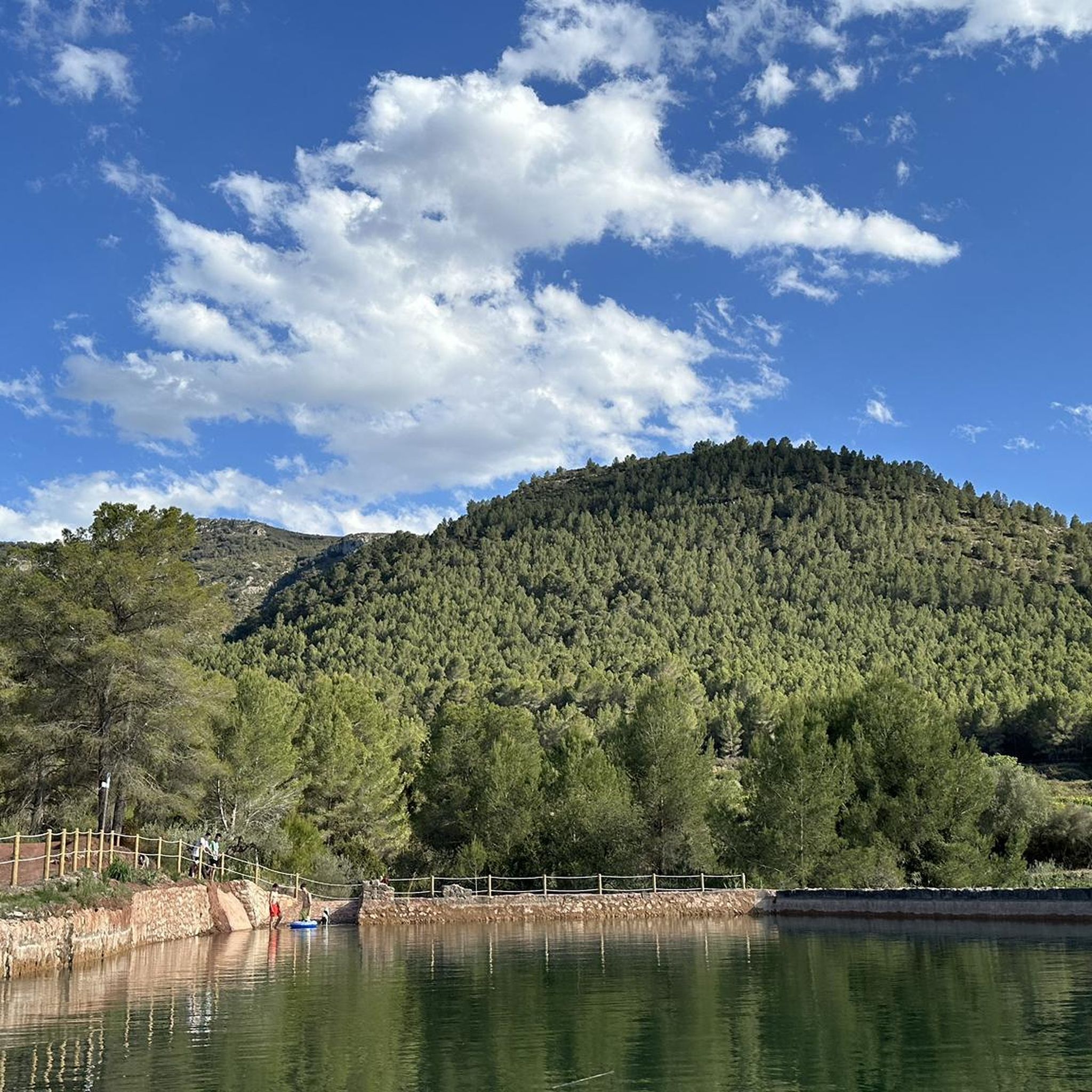
Gravel biking around Castelló De Rugat offers routes through diverse landscapes, characterized by river valleys, hills, and natural features. The region features paths along the Serpis River, agricultural plains with fruit and almond trees, and varied terrain including unpaved and paved surfaces. The Benicadell Mountains to the south provide more challenging routes with significant elevation changes, while valleys and rolling hills offer gentler options. This mix of mountains, valleys, and agricultural land provides a range of surfaces suitable for gravel…
Last updated: July 8, 2026
5.0
(1)
13
riders
36.2km
02:15
540m
540m
Hard gravel ride. Very good fitness required. Mostly paved surfaces. Suitable for all skill levels.
5.0
(2)
17
riders
56.7km
03:28
860m
860m
Hard gravel ride. Very good fitness required. Mostly paved surfaces. Suitable for all skill levels.

Sign up for free
6
riders
37.8km
03:14
860m
860m
Hard gravel ride. Very good fitness required. Mostly paved surfaces. Suitable for all skill levels.
4.0
(1)
14
riders
50.7km
03:34
690m
690m
Hard gravel ride. Very good fitness required. Mostly paved surfaces. Suitable for all skill levels.
5.0
(1)
14
riders
26.2km
01:42
420m
420m
Moderate gravel ride. Good fitness required. Mostly paved surfaces. Suitable for all skill levels.
Get access to more routes and recommendations from other explorers.
Sign up for free
Already have an account?
Our route recommendations are based on thousands of hikes, rides, and runs completed by other people on komoot.
Start today with a free account
Your next adventure awaits.
Login or Signup
Tips from the Community

The only crossing over the river. Suitable spot for a picnic. It's not far to Villalonga from here.
2
0
Everything close to the train station. The castle, which is worth seeing, towers above.
2
0
There are several tunnels on the route. 2 to 3 longer ones: you absolutely need light. Otherwise, it's pitch dark.
2
0

A beautiful hike through the Hell's Gorge. The actual route along the railway line, and probably the most interesting section between L'Orcha and Mare de Deu (Barranco del Infierno = Hell's Gorge), is unpaved and unpaved, in some parts very gravelly and rough. Five metal bridges are missing, two stone bridges remain, and six tunnels are traversed, all without lighting.
1
0
The ford was replaced by a "bridge".
1
0

On Grabel, it's advisable to keep your tire pressures correct. I recommend over-inflating rather than underinflating. There are some cobblestone areas.
1
0

Having lunch at the La Oliva bar in Beniarrés at the foot of the Benicadell is an experience that is nothing short of mystical. Here, breakfast is a religion.
0
0
A spectacular stretch, without technical complications, very fun and with the river as a companion
1
0
Frequently Asked Questions
How many gravel bike trails are available in Castelló De Rugat?
There are over 25 gravel bike trails around Castelló De Rugat, offering a variety of experiences through river valleys, old railway lines, and varied hilly terrain.
Are there easy gravel bike trails for beginners in Castelló De Rugat?
Yes, while many routes are challenging, there is at least one easy gravel bike trail available. For example, the Serpis River – Azud del Infierno or del Forn loop from Beniarrés is a popular option that follows the Serpis River.
What about more challenging gravel routes in the region?
The majority of gravel routes in Castelló De Rugat are considered difficult, with 19 out of 25 trails falling into this category. These routes often feature significant elevation changes and varied terrain, such as the Old Lorcha Railway Station – Azud del Infierno or del Forn loop from Rugat, which incorporates sections of an old railway line and river scenery.
What do other gravel bikers enjoy most about the trails in Castelló De Rugat?
The gravel biking routes in Castelló De Rugat are highly rated by the komoot community, with an average score of 5.0 stars. Riders often praise the diverse landscapes, including river valleys and natural features, and the options for different ability levels.
Are there circular gravel bike routes available?
Yes, many of the gravel bike trails in Castelló De Rugat are designed as loops, allowing you to start and end in the same location. Examples include the Serpis River – Azud del Infierno or del Forn loop from Planes and the Benicadell Forest Hut – Views of Benicadell loop from Beniatjar.
What is the typical length and duration of gravel bike trails in this area?
Gravel bike trails in Castelló De Rugat vary significantly in length and duration. You can find routes ranging from approximately 22.5 miles (36 km) taking around 2 hours 45 minutes, up to 36 miles (58 km) which might take over 4 hours to complete, depending on the elevation and terrain.
What can I see along the gravel bike trails in Castelló De Rugat?
The trails offer access to various natural monuments and points of interest. You can encounter highlights like the Font Freda viewpoint, the Cim de la Safor summit, and the Toll de l’Estret gorge. Many routes also pass by the Azud del Infierno or del Forn.
Are there any huts or refuges along the gravel biking routes?
Yes, some routes pass by or near huts and refuges. For instance, the Benicadell Forest Hut – Views of Benicadell loop from Beniatjar is named after the Benicadell Forest Hut, and the La Bastida Refuge – Cova Negra loop from la Pobla del Duc is near the La Bastida Refuge.
What is the best time of year for gravel biking in Castelló De Rugat?
The region generally offers good conditions for gravel biking during spring and autumn, when temperatures are milder. Winter can also be pleasant, though some higher elevation areas might be cooler. Summers can be very hot, so early morning or late afternoon rides are recommended if cycling during this season.
Where can I find parking for gravel bike trails in Castelló De Rugat?
Many routes start from towns and villages like Beniarrés, Rugat, Planes, Beniatjar, or la Pobla del Duc. You can typically find public parking facilities in these starting points, often near the trailheads or town centers.
Are there any viewpoints along the gravel bike trails?
Yes, the region features several viewpoints offering scenic vistas. A notable one is the Font Freda viewpoint, which can be incorporated into various routes to enjoy panoramic views of the surrounding landscape.
Most popular routes around Castelló De Rugat
Most popular attractions around Castelló De Rugat

Get inspired with the komoot mobile app


Explore more
Browse the best Gravel rides in other regions.
