The best gravel rides around Redecilla Del Camino
4.0
(9)
153
riders
31
rides
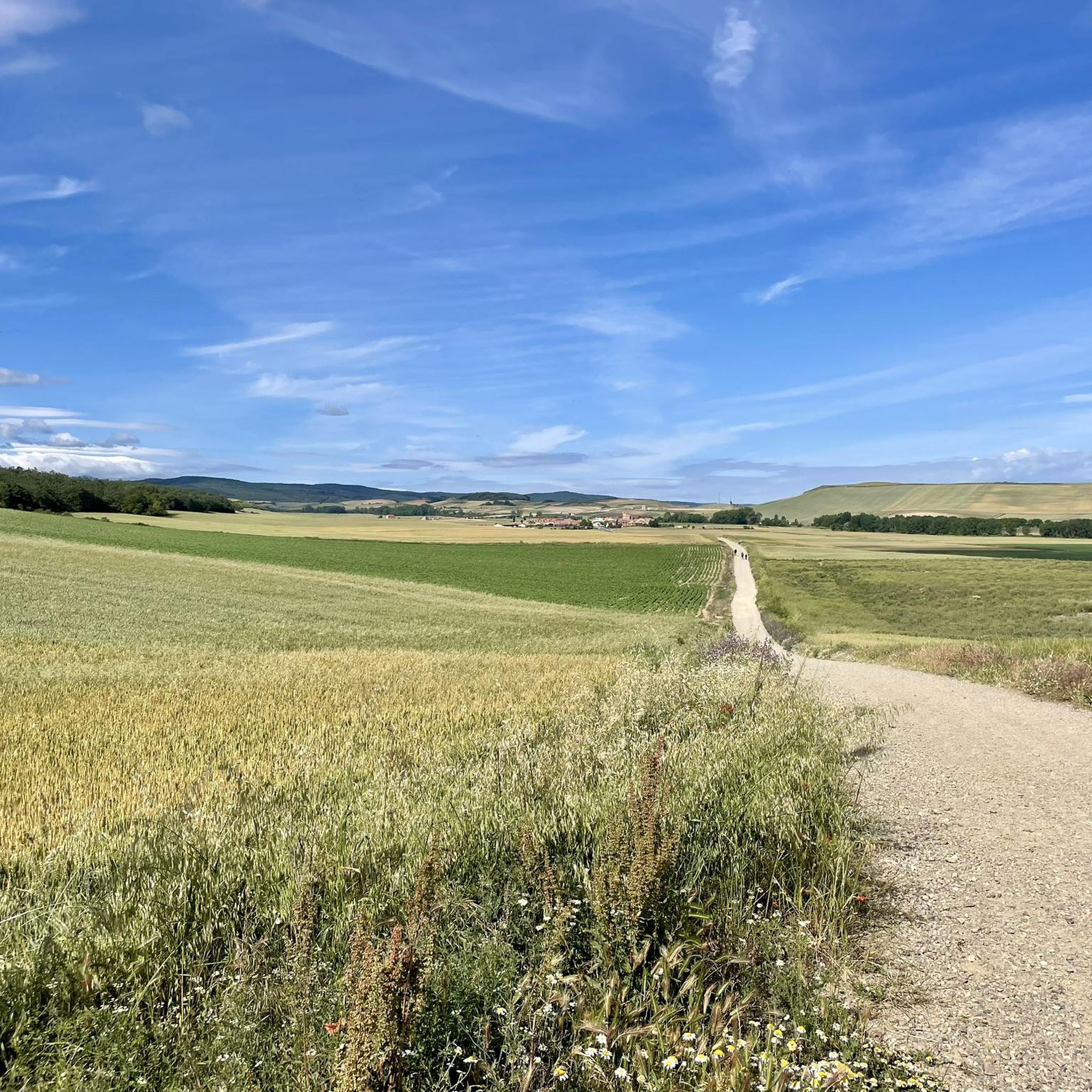
Gravel biking around Redecilla Del Camino offers varied terrain across the historic Camino Francés and the natural landscapes of the Montes de Ayago and Sierra de la Demanda. The region features a mix of unpaved tracks, rural roads, and some paved sections, providing diverse surfaces for cycling. Elevation changes range from flat agricultural areas near the Relachico river to significant climbs in the surrounding mountains. This area provides a network of paths suitable for gravel biking, connecting historical villages with…
Last updated: October 19, 2026
9
riders
72.3km
06:25
1,710m
1,710m
Hard gravel ride. Very good fitness required. Mostly paved surfaces. Suitable for all skill levels.
11
riders
90.6km
07:31
2,250m
2,250m
Hard gravel ride. Very good fitness required. Mostly paved surfaces. Suitable for all skill levels.

5.0
(2)
6
riders
49.1km
04:13
1,330m
1,330m
Hard gravel ride. Very good fitness required. Mostly paved surfaces. Suitable for all skill levels.
9
riders
39.1km
03:48
1,140m
1,140m
Hard gravel ride. Very good fitness required. Mostly paved surfaces. Suitable for all skill levels.
9
riders
15.5km
01:39
590m
590m
Hard gravel ride. Very good fitness required. Mostly paved surfaces. Suitable for all skill levels.
Get access to more routes and recommendations from other explorers.
Already have an account?
Our route recommendations are based on thousands of hikes, rides, and runs completed by other people on komoot.
Start today with a free account
Your next adventure awaits.
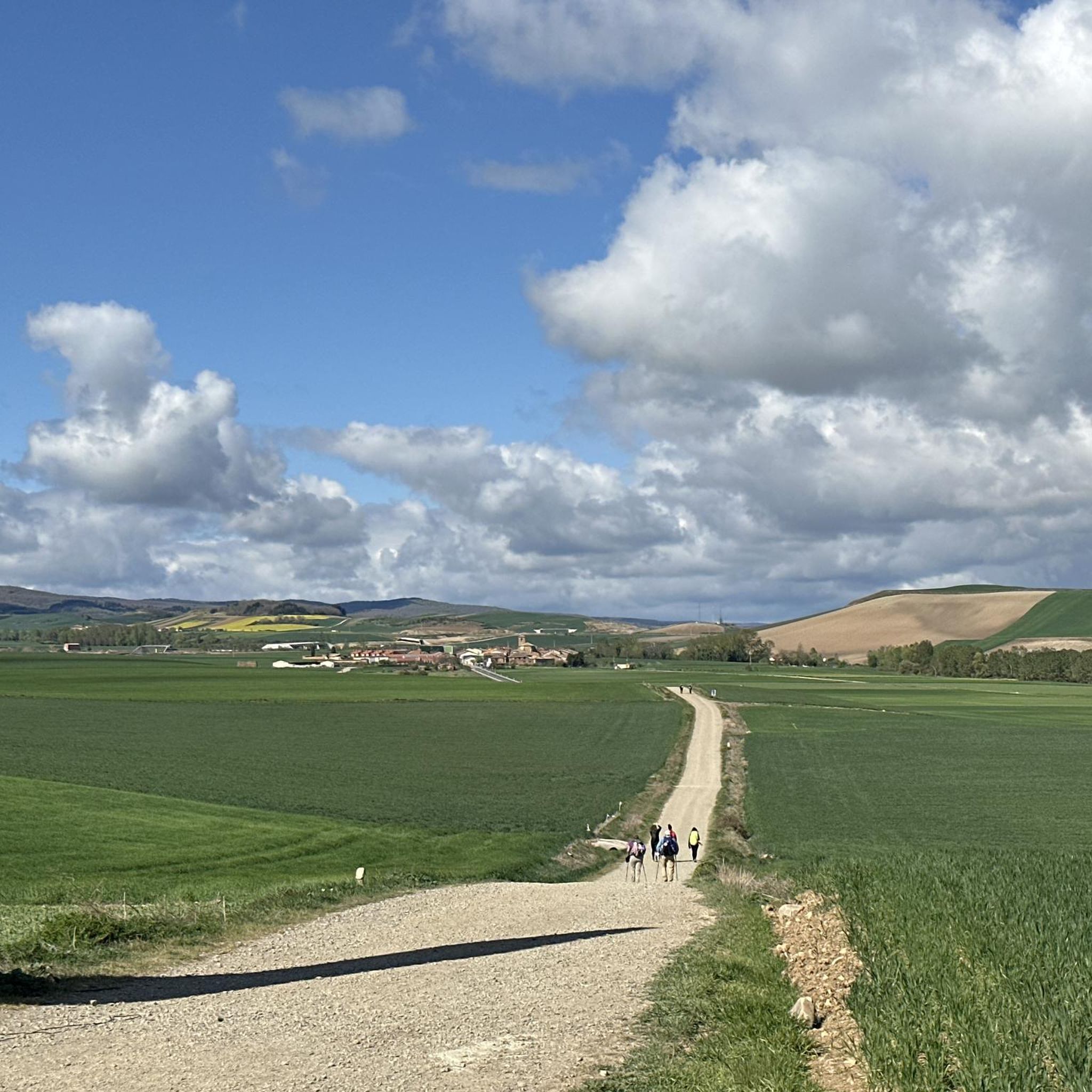
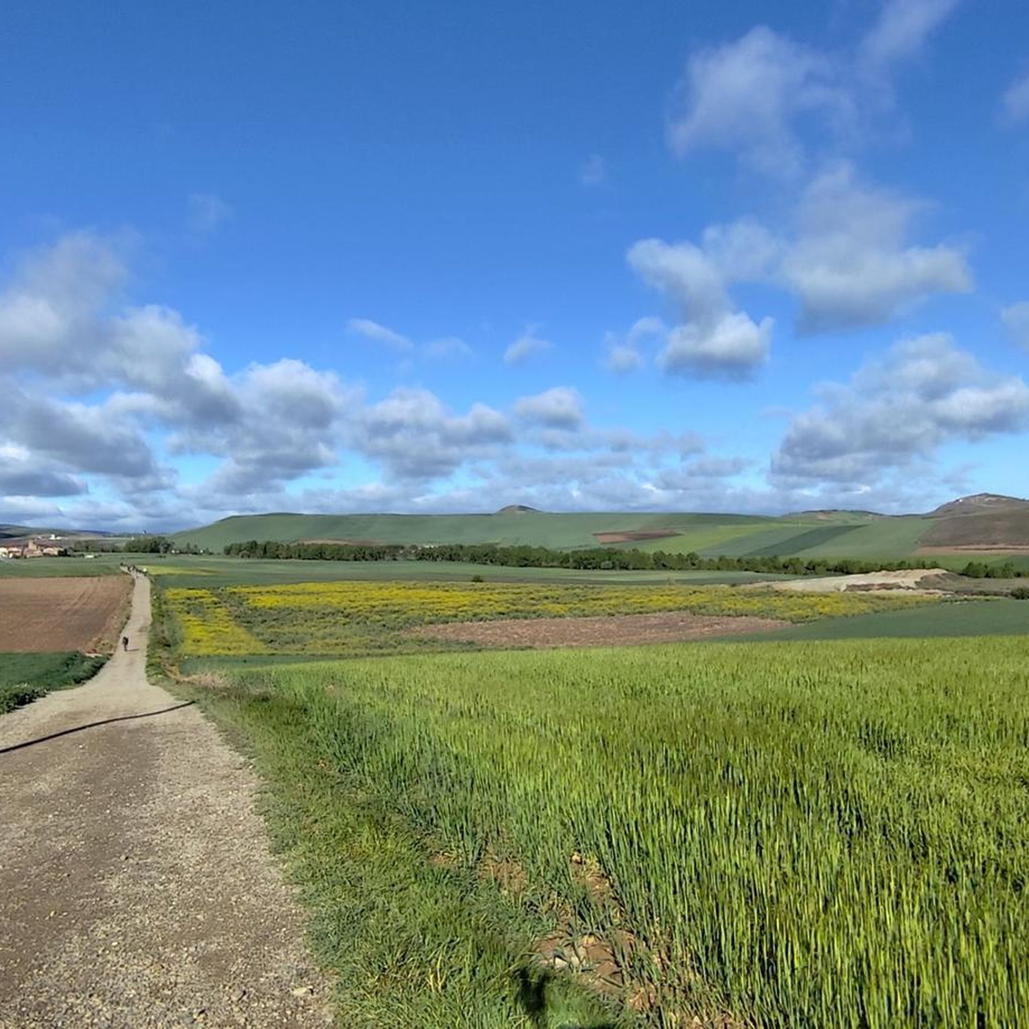
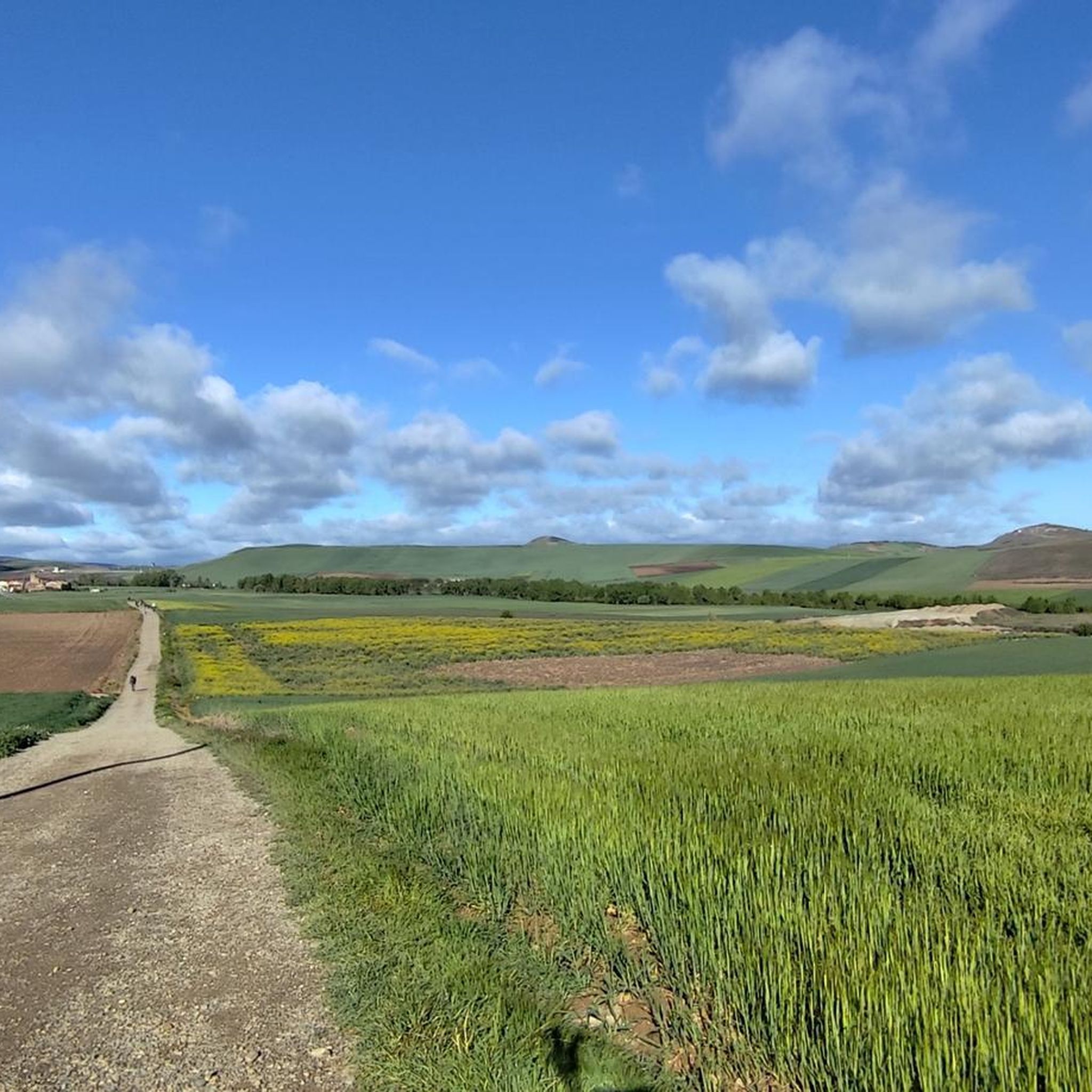
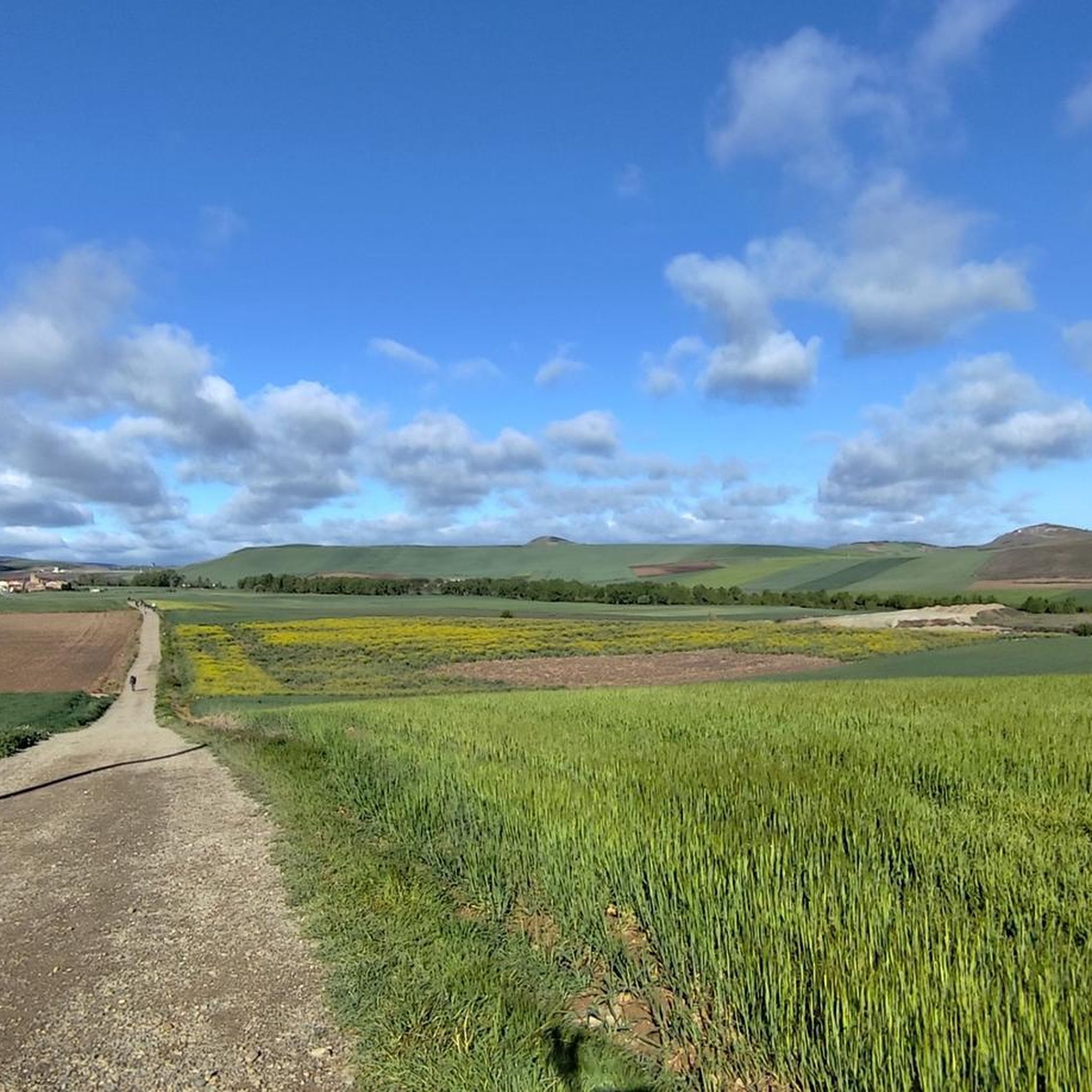
Tips from the Community

hot very hot this pass
0
0

hard descent to Altuzarra, very bad.
0
0

Nice climb to the Bonicaparra refuge. Riding at your own pace and enjoying the scenery is the best.
0
0

The perfect stop to replenish your energy after a bike ride (or walking, or skiing...) around Ezcaray
0
0
Romanesque church dating back to the 12th century on the outskirts of Valgañón, a town in the Sierra de la Demanda near Ezcaray. A great stop to get water on the way up to the top of Pradilla.
0
0
Asphalt forest track to the Bonicaparra refuge. A very nice climb, especially recommended in autumn when the beech forest is bursting with colour.
0
0
A comfortable mountain pass that connects the provinces of Burgos and La Rioja. Both sides have beautiful views, and it is worth climbing both.
0
0

With the mountain route you can go up from Fresneda, reach the Pozo Negro (durillo), and from there to the Cruz de la Demanda, returning to Fresneda by road and passing through the top of La Pradilla.
0
0
Frequently Asked Questions
How many gravel bike trails are available around Redecilla Del Camino?
There are nearly 30 gravel bike routes around Redecilla Del Camino, offering a variety of experiences for different skill levels. These routes traverse the historic Camino Francés paths and the natural landscapes of the Montes de Ayago and Sierra de la Demanda.
What kind of terrain can I expect on gravel bike routes in Redecilla Del Camino?
The terrain around Redecilla Del Camino is diverse, featuring a mix of unpaved tracks, rural roads, and some paved sections. You'll encounter flat agricultural areas near the Relachico river, as well as significant climbs and varied landscapes within the Montes de Ayago and Sierra de la Demanda. The Camino de Santiago itself offers a mix of gravel tracks and quiet backroads.
Are there any easy or moderate gravel bike routes for beginners or those seeking a less challenging ride?
While many routes in the area are classified as difficult, there are 6 moderate gravel bike routes available. For example, the Ezcaray Greenway – Puente de Cihuri loop from Ezcaray is a moderate 65.3 km path that features greenway sections and rural roads with moderate elevation gain, offering scenic views without extreme difficulty.
What are some of the more challenging gravel bike routes in the region?
For experienced gravel bikers, there are 22 difficult routes. A notable challenging option is the Alto de Pradilla – Ezcaray Greenway loop from Ezcaray, a 72.2 km trail with over 1700 meters of elevation gain. Another demanding route is the Ascent to Santa Bárbara – Cruz de la Demanda Pass loop from Ezcaray, which is 49.1 km long and includes over 1300 meters of ascent through the Sierra de la Demanda.
What historical landmarks or natural attractions can I see along the gravel bike routes?
The region is rich in history and natural beauty. You can encounter landmarks like the Santo Domingo de la Calzada Cathedral and the Santo Domingo de la Calzada Bridge. Natural features include the Montes de Ayago and the Sierra de la Demanda, offering varied landscapes and scenic viewpoints such as View of San Lorenzo from Masoga. The village of Redecilla del Camino itself features the historic Iglesia de Nuestra Señora de la Calle and a Rollo Jurisdiccional.
Are there any circular gravel bike routes available?
Yes, many of the gravel bike routes in the area are loops. Examples include the challenging Alto de Pradilla – Ezcaray Greenway loop from Ezcaray and the moderate Ezcaray Greenway – Puente de Cihuri loop from Ezcaray. These circular routes allow you to start and end in the same location, often providing diverse scenery throughout the ride.
What is the best time of year for gravel biking in Redecilla Del Camino?
The region's elevation, around 741 meters, contributes to cooler temperatures, making spring and autumn ideal for gravel biking. These seasons offer pleasant weather for exploring the diverse terrain without the extreme heat of summer or the potential for snow in winter, especially in higher elevations like the Sierra de la Demanda.
What do other gravel bikers say about the routes in Redecilla Del Camino?
The gravel biking routes around Redecilla Del Camino are highly rated by the komoot community, with an average score of 4.1 stars from over 10 reviews. Many of the 145 visitors who have explored the area praise the varied terrain and the blend of historical paths with natural beauty.
Is Redecilla Del Camino suitable for family-friendly gravel biking?
While many routes are challenging, the presence of greenway sections and rural roads offers potential for family-friendly rides, especially on the moderate routes. It's advisable to check the specific route details for distance, elevation, and terrain to ensure it matches your family's skill level. The flat agricultural terrain near the Relachico river could also offer easier sections.
Are there options for accommodation and places to eat in Redecilla Del Camino?
As a historic stop on the Camino de Santiago, Redecilla del Camino offers amenities for travelers, including a modern refuge and historically, pilgrim hospices. You can expect to find accommodation options and places to eat, catering to those passing through or staying in the area. It's always a good idea to check local listings for current availability of cafes, pubs, and hotels.
What are the typical elevation changes on gravel bike routes in this area?
Elevation changes vary significantly. You can find routes with relatively flat sections, particularly in the immediate agricultural surroundings of Redecilla del Camino. However, routes extending into the Montes de Ayago and Sierra de la Demanda can feature substantial climbs. For instance, the Ascent to Santa Bárbara – Alto de Pradilla loop from Ezcaray includes over 1100 meters of ascent over 39.5 km.
Most popular routes around Redecilla Del Camino
Most popular attractions around Redecilla Del Camino

Get inspired with the komoot mobile app


Explore more
Browse the best Gravel rides in other regions.
