The best gravel rides around El Pont De Bar
4.8
(6)
266
riders
9
rides
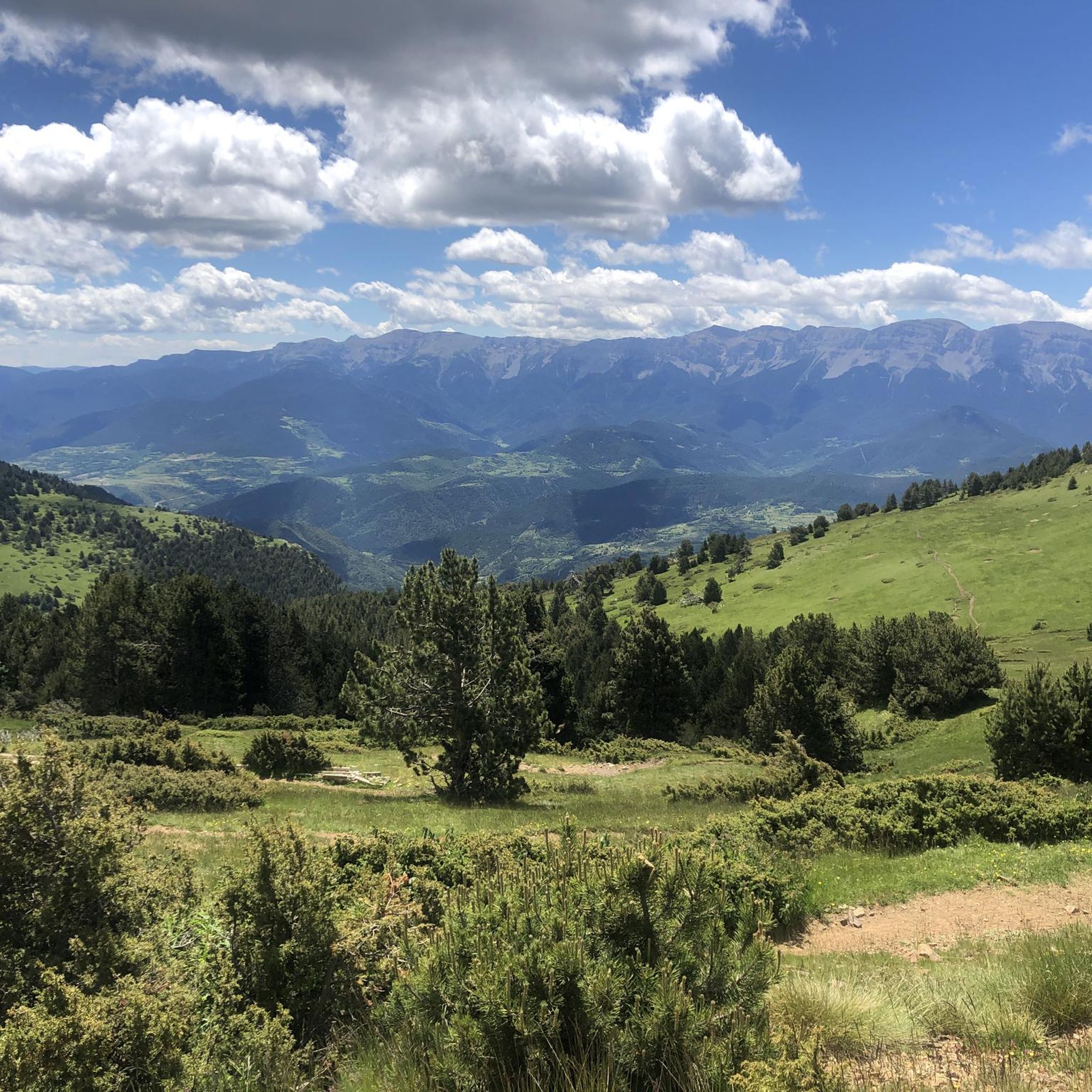
Gravel bike trails around El Pont De Bar are situated in the eastern Alt Urgell region of the Catalan Pyrenees, offering a diverse environment for cycling. The area is characterized by mountainous terrain, an extensive network of unpaved roads, and forest runs. The Segre River flows through the region, providing scenic routes along its banks. This landscape includes access to significant natural parks like Cadí-Moixeró and Alt Pirineu, featuring varied elevations and diverse habitats.
Best gravel bike trails around El…
Last updated: October 11, 2026
5.0
(2)
40
riders
50.6km
04:23
1,400m
1,400m
Hard gravel ride. Very good fitness required. Mostly paved surfaces. Suitable for all skill levels.
5.0
(1)
28
riders
29.6km
02:36
690m
690m
Hard gravel ride. Very good fitness required. Mostly paved surfaces. Suitable for all skill levels.

5.0
(2)
16
riders
35.3km
03:11
920m
920m
Hard gravel ride. Very good fitness required. Mostly paved surfaces. Suitable for all skill levels.
13
riders
50.7km
04:41
1,510m
1,510m
Hard gravel ride. Very good fitness required. Mostly paved surfaces. Suitable for all skill levels.
11
riders
57.7km
05:45
1,720m
1,720m
Hard gravel ride. Very good fitness required. Mostly paved surfaces. Suitable for all skill levels.
Get access to more routes and recommendations from other explorers.
Already have an account?
Our route recommendations are based on thousands of hikes, rides, and runs completed by other people on komoot.
Start today with a free account
Your next adventure awaits.

Tips from the Community

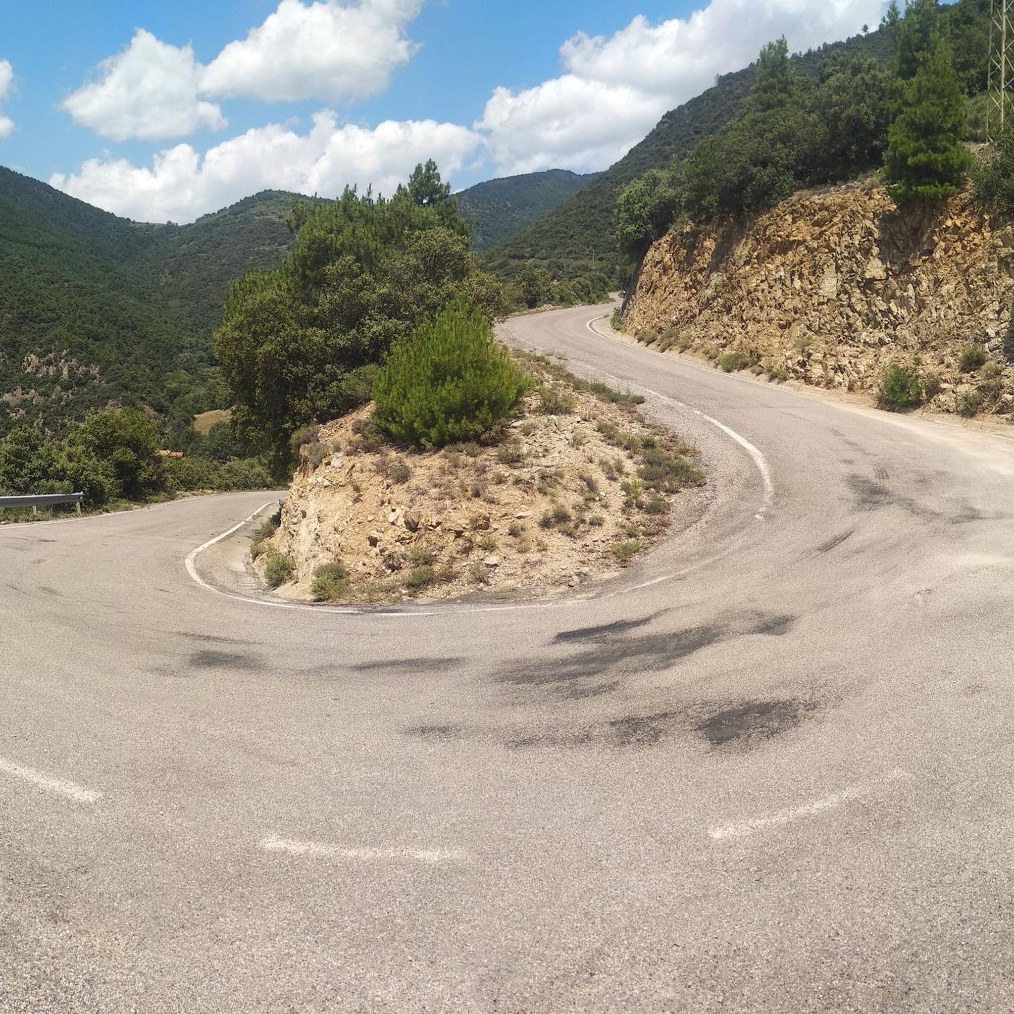
¿Cómo es la pista forestal? Ancho y firme: Es una pista no asfaltada de tierra y piedra. La vía transcurre principalmente entre pino negro y bosque, por lo que va resguardada durante la mayor parte del recorrido. Presencia de precipicios: No es una pista colgada sobre acantilados vertiginosos ni de caída en picado constante. No obstante, al ser una carretera de alta montaña, en algunos tramos sí hay laderas expuestas hacia el valle o curvas sin barreras de protección laterales como las que encuentras en una carretera convencional. Cruce de vehículos: Hay tramos donde la pista es algo estrecha y, si te cruzas con otro coche en sentido contrario, hay que maniobrar despacio para apartarse hacia uno de los laterales o apartaderos.
0
0

Access by private vehicle to Les Pollineres is restricted all year round via both the Lles and Aransa tracks. In Summer (August to early September): A shuttle bus operates from Fornell and the Cap del Rec refuge. Rest of the year: Motorized access is limited to authorized residents. You will have to leave your car at the Nordic ski stations (Lles or Aransa) and walk, which increases the duration and elevation gain of the route. The ideal way is to go up by mountain bike or gravel bike from Martinet.
1
0
La Font de les Pollineres is a recreational area and mountain refuge located at an altitude of 2,100 meters in Lles de Cerdanya (Lleida). It is the main and most accessible starting point for the popular family excursion to Estanys de la Pera, a route of about 4 km (round trip) and 211 m of elevation gain.
0
0
The ascent from Martinet to Cap del Rec is a real challenge: a route of only 16.5 km that accumulates almost 1,000 meters of positive elevation gain!
0
0

Small mountain village with quiet streets, stone houses and wide views over the Cadí. It maintains the charm of the old towns of the Pyrenees, with the sound of bells and the smell of firewood in winter. Perfect spot to take a break or load up on water before heading up to the high-altitude slopes. By mountain bike, the access from Arsèguel or Toloriu combines sections of fast track with some short but intense downhill sections. Tip: save some energy, because the exits from the village always go uphill and the views deserve to arrive with air to look at them without rushing.
0
0
A small Romanesque gem located on a hill with open views over the Segre valley. The surroundings are quiet and peaceful, surrounded by meadows and forests that change color with the seasons. The hermitage preserves the simplicity of the mountain and invites you to take a brief contemplative break. By mountain bike, you can reach it by track with some rocky but cycleable sections; ideal for resting, eating something and enjoying the silence before continuing the route. Tip: bring a camera, the afternoon light makes the stone shine as if it were old gold.
1
0
A jewel of Catalan Romanesque architecture and one of the most impressive in the Pyrenees. Its austere façade, stone cloister and the silence of the interior convey history and serenity in equal parts. Located in the heart of La Seu, surrounded by lively streets, terraces and shops. By mountain bike, it is a perfect cultural stop before or after a route through the Cadí or Segre: there are bike parking spaces nearby and fountains to fill your tank. Tip: avoid peak hours and get there early or at dusk, when the light caresses the stone and the atmosphere is pure charm.
0
0
Aransa Station Parking (Lles de Cerdanya). The perfect starting point for mountain biking and hiking routes through the Cadí-Moixeró Natural Park. Located at approximately 1,550 meters, the parking area offers ample space, nearby water fountains, and open views of the valley. In summer, it's quiet and ideal for starting climbs towards the Pradell Refuge or the Estanys de la Pera lakes. For mountain biking, the start is direct and somewhat demanding: a wide track with a continuous incline. Tip: warm up well before leaving the pavement, pace yourself, and conserve energy, as the initial climbs can be punishing if you start too fast.
0
0
Frequently Asked Questions
What makes El Pont De Bar an ideal destination for gravel biking?
El Pont De Bar, situated in the eastern Alt Urgell region of the Catalan Pyrenees, offers a diverse and engaging environment for gravel biking. The area is characterized by its mountainous terrain, an extensive network of unpaved roads, and scenic forest runs. You'll find routes along the Segre River and access to significant natural parks like Cadí-Moixeró and Alt Pirineu, providing varied elevations and stunning landscapes.
How many gravel bike trails are available around El Pont De Bar?
There are over 10 gravel bike trails available around El Pont De Bar, offering a range of experiences for cyclists. The region is known for its challenging terrain, with most routes catering to experienced gravel bikers.
Are there any beginner-friendly gravel bike routes in the area?
While most routes around El Pont De Bar are considered difficult due to the mountainous terrain and significant elevation changes, there is at least one moderate option available. It's advisable for beginners to carefully review route details, including elevation gain and distance, before setting out.
What kind of natural landscapes can I expect to see on these gravel routes?
The gravel routes in El Pont De Bar traverse magnificent mountain landscapes, river valleys, and lush forests. You can expect to ride along the scenic Segre River, explore areas within the Cadí-Moixeró Natural Park with its impressive Pyrenean views, and experience the diverse habitats of the Alt Pirineu Natural Park, Catalonia's largest natural park.
Are there any particularly long or challenging gravel routes for experienced riders?
Yes, El Pont De Bar is well-suited for experienced gravel bikers seeking challenging rides. For instance, the Panoramic View of the Cadí – View of the Mountains loop from la Seu d'Urgell is a difficult 57.8 km route with over 1,700 meters of elevation gain, offering extensive climbs and rewarding descents through mountainous landscapes.
What are some notable historical or cultural landmarks I might encounter?
The region is rich in Romanesque heritage, including the recently restored church of San Juan de Sobeig and the church of San Esteban de Bar. You might also find the ruins of San Martín de Cassanet and Santa Leocadia, or the Gothic church of San Gervasio de Castellnou de Carcolze. The Aristot Medieval Castle is another historical landmark worth noting.
Are there any unique attractions or points of interest near the gravel trails?
Beyond historical sites, you could explore the Mountain Vineyard and Wine Museum, which showcases traditional high-mountain viticulture. For a unique artistic diversion, consider visiting The Magic Labyrinth, an enigmatic sculpture park created by artist Climent Olm, located within a large forest area towards Lles de Cerdanya.
What do other gravel bikers say about the routes in El Pont De Bar?
The routes in El Pont De Bar are highly rated by the komoot community, with an average score of 5.0 stars. Over 270 gravel bikers have explored the area, often praising the varied terrain, challenging climbs, and the stunning natural beauty of the Pyrenean landscapes.
Can I find any refuges or huts along the gravel routes for a break?
Yes, the area features several refuges and huts that can serve as excellent stopping points. Notable options include Cap del Rec Refuge, Prat d'Aguiló Refuge, and Refugi de l'Illa. These can be useful for longer rides or as destinations themselves.
Are there any routes that follow river paths?
Yes, the Segre River flows through the region, offering scenic routes along its banks. A popular option is the Vilanova de Banat – Segre River Path loop from Alàs, a 35.3 km trail that follows the river and provides varied terrain.
What is the best season for gravel biking in El Pont De Bar?
Given its mountainous Pyrenean location, the best season for gravel biking in El Pont De Bar is typically from late spring through early autumn. During these months, the weather is generally more stable, and trails are less likely to be affected by snow or ice, offering optimal conditions for exploring the diverse terrain.
Are there any routes that offer panoramic views of the mountains?
Absolutely. Many routes in the region provide breathtaking Pyrenean views. The Panoramic View of the Cadí – View of the Mountains loop from la Seu d'Urgell is specifically designed to showcase impressive mountain vistas, including those of the Cadí range.
Can I find routes that explore different valleys?
Yes, the region offers routes that traverse various valleys. For example, the View of Mardiscle – Valira River Trail loop from la Seu d'Urgell leads through the Valira River valley, providing a different perspective of the area's natural beauty.
Most popular routes around El Pont De Bar
Most popular attractions around El Pont De Bar

Get inspired with the komoot mobile app


Explore more
Browse the best Gravel rides in other regions.
