The best gravel rides around Pelayos De La Presa
5.0
(1)
81
riders
20
rides
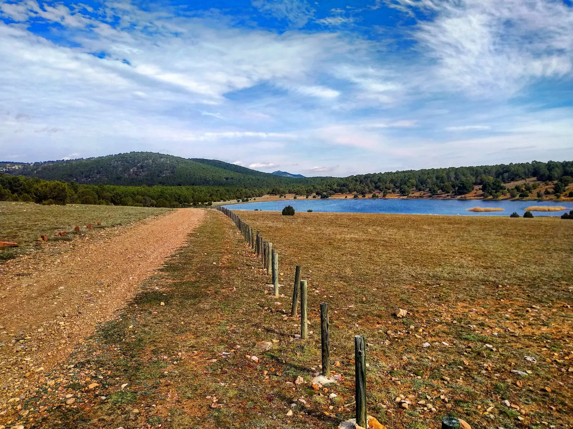
Gravel biking around Pelayos De La Presa offers a diverse landscape characterized by reservoirs, river greenways, and undulating terrain. The region features a mix of moderate and challenging routes, with significant elevation changes indicating hilly areas. These gravel cycling routes near Pelayos De La Presa provide opportunities to explore natural and historical points of interest.
Best gravel bike trails around Pelayos De La Presa
- The most popular gravel bike trail is Alberche Greenway – Picadas Reservoir loop from Navas del…
Last updated: July 8, 2026
8
riders
45.7km
03:53
800m
800m
Hard gravel ride. Very good fitness required. Mostly paved surfaces. Suitable for all skill levels.
8
riders
Moderate gravel ride. Good fitness required. Mostly paved surfaces. Suitable for all skill levels.

Sign up for free
6
riders
Moderate gravel ride. Good fitness required. Mostly paved surfaces. Suitable for all skill levels.
4
riders
54.7km
04:14
920m
920m
Hard gravel ride. Very good fitness required. You may need to push your bike for some segments of this route.
5
riders
Hard gravel ride. Very good fitness required. Mostly paved surfaces. Suitable for all skill levels.
Get access to more routes and recommendations from other explorers.
Sign up for free
Already have an account?
Our route recommendations are based on thousands of hikes, rides, and runs completed by other people on komoot.
Start today with a free account
Your next adventure awaits.
Login or Signup




Other adventures around Pelayos De La Presa

Tips from the Community

Beautiful and easy path along the Alberche river.
0
0

An impressive monastic complex of medieval origin, founded in the 12th century and surrounded by a privileged natural environment. Its stone walls and well-preserved ruins evoke centuries of history linked to the Cistercian order.
0
0
La Presa de Picadas is a hydraulic infrastructure located on the Alberche River, which gives rise to the reservoir of the same name. Surrounded by a natural environment of great beauty, it stands out for its rugged landscapes, pine forests, and calm waters, making it an ideal point of interest to enjoy nature in the Sierra Oeste of Madrid.
0
0
The Picadas Dam is a hydraulic structure located on the Alberche River, which forms the reservoir of the same name. Surrounded by a natural environment of great beauty, it stands out for its rugged landscapes, pine forests, and calm waters, making it an ideal point of interest to enjoy nature in the Sierra Oeste of Madrid.
0
0
The Embalse de Picadas is a natural enclave located on the course of the Alberche river, surrounded by pine forests and steep slopes that create a landscape of great beauty. Its calm waters and uncrowded environment make it an ideal place to enjoy nature in the Sierra Oeste of Madrid.
0
0

Beautiful views in this secluded spot
1
0
Bordering town in the community of Madrid, there are shops and bars
0
0

Impressive antenna installation. Beautiful road with little traffic.
0
0
Frequently Asked Questions
How many gravel bike trails are available around Pelayos De La Presa?
There are over 15 gravel bike routes around Pelayos De La Presa, offering a diverse range of experiences. You'll find a good mix of moderate and challenging trails, often featuring significant elevation changes.
Are there any beginner-friendly gravel cycling routes in Pelayos De La Presa?
While there are no routes specifically classified as 'easy' in the area, you'll find several moderate options that are suitable for those with some gravel biking experience. These routes still offer engaging terrain without being overly technical. For example, the Picadas Reservoir – Embalse de Picadas loop from San Martín de Valdeiglesias is a moderate 22.1-mile path that circles the reservoir.
What are some challenging gravel bike routes near Pelayos De La Presa for experienced riders?
For experienced gravel bikers seeking a challenge, the region offers several difficult routes with substantial elevation gains. Consider the Alberche Greenway – Picadas Reservoir loop from Navas del Rey, a 29.2-mile trail with over 800 meters of ascent. Another demanding option is the Casillas – El Burguillo Reservoir loop from San Martín de Valdeiglesias, which covers nearly 40 miles with over 1100 meters of climbing.
What can I see along the gravel bike trails around Pelayos De La Presa?
The gravel bike trails often lead you through scenic landscapes featuring significant bodies of water and natural areas. You can explore the Alberche Greenway, ride alongside the Picadas Reservoir, or discover the San Juan Reservoir Marina. These routes provide opportunities to enjoy the region's natural beauty.
Are there any circular gravel bike routes in the area?
Yes, many of the gravel bike routes around Pelayos De La Presa are designed as loops, allowing you to start and finish in the same location. Examples include the Picadas Reservoir – Embalse de Picadas loop from San Martín de Valdeiglesias and the Casillas – El Burguillo Reservoir loop from San Martín de Valdeiglesias, both offering comprehensive tours of their respective areas.
What is the typical duration for gravel cycling routes near Pelayos De La Presa?
The duration of gravel cycling routes in the area varies significantly depending on the distance and elevation. Moderate routes, like the 22.1-mile Picadas Reservoir loop, typically take around 2.5 to 3 hours. Longer, more difficult routes, such as the 39.7-mile Casillas – El Burguillo Reservoir loop, can take upwards of 4.5 hours to complete.
Are there any routes that pass by historical landmarks or points of interest?
Yes, some routes offer glimpses of local landmarks. For instance, the San Martín de Valdeiglesias – Coracera Castle loop from San Martín de Valdeiglesias is a moderate 18.9-mile route that takes you past the historic Coracera Castle, offering a blend of cycling and cultural exploration.
What do other gravel bikers enjoy most about the Pelayos De La Presa area?
The area is highly rated by the komoot community, with an average score of 4.0 stars. Reviewers often praise the diverse landscape, particularly the scenic reservoir loops and river greenways, as well as the engaging hilly sections that provide a good workout.
Are there any hidden gem gravel routes in Pelayos De La Presa?
While the main routes are well-loved, exploring the network around the reservoirs often reveals quieter sections. The Picadas Reservoir – Alberche Greenway loop from Pelayos de la Presa, a challenging 33.9-mile route, offers a comprehensive tour that might include less-trafficked paths connecting these natural features.
What is the best time of year for gravel biking in Pelayos De La Presa?
Spring and autumn generally offer the most pleasant conditions for gravel biking in Pelayos De La Presa, with milder temperatures and beautiful scenery. Summers can be very hot, making early morning or late afternoon rides preferable, while winters are typically mild but can have cooler, wetter days.
Are there viewpoints along the gravel bike trails near Pelayos De La Presa?
Given the undulating terrain and the presence of large reservoirs, many routes naturally offer excellent viewpoints. Trails circling the Picadas Reservoir and El Burguillo Reservoir provide numerous opportunities to stop and enjoy panoramic views of the water and surrounding hills.
Most popular routes around Pelayos De La Presa
Most popular attractions around Pelayos De La Presa

Get inspired with the komoot mobile app


Explore more
Browse the best Gravel rides in other regions.
