The best gravel rides around Orihuela Del Tremedal
4.8
(4)
137
riders
12
rides
Gravel biking around Orihuela Del Tremedal offers diverse terrain within Spain's Sierra de Albarracín and Montes Universales mountain ranges. The region features a high sierra environment with extensive black pine and Scots pine forests, particularly at altitudes exceeding 1,400 meters. Unique geological formations like "Ríos de Piedra" (rivers of stone) and "Tremedales" (peat bogs) characterize the landscape. Elevations vary, with Mount Caimodorro reaching 1,936 meters, providing a mix of challenging climbs and varied routes.
Best gravel bike trails around Orihuela…
Last updated: July 16, 2026
4.8
(4)
108
riders
141km
10:01
2,360m
2,360m
Hard gravel ride. Very good fitness required. Mostly paved surfaces. Suitable for all skill levels.
5
riders
27.5km
02:24
580m
580m
Hard gravel ride. Very good fitness required. Mostly paved surfaces. Suitable for all skill levels.

Sign up for free
4
riders
Hard gravel ride. Very good fitness required. Mostly paved surfaces. Suitable for all skill levels.
2
riders
23.1km
02:03
450m
450m
Hard gravel ride. Very good fitness required. Mostly paved surfaces. Suitable for all skill levels.
2
riders
19.2km
01:40
380m
370m
Moderate gravel ride. Good fitness required. Mostly paved surfaces. Suitable for all skill levels.
Get access to more routes and recommendations from other explorers.
Sign up for free
Already have an account?
Our route recommendations are based on thousands of hikes, rides, and runs completed by other people on komoot.
Start today with a free account
Your next adventure awaits.
Login or Signup
Popular around Orihuela Del Tremedal

MontañasVacías official — bikepacking across the Spanish Lapland
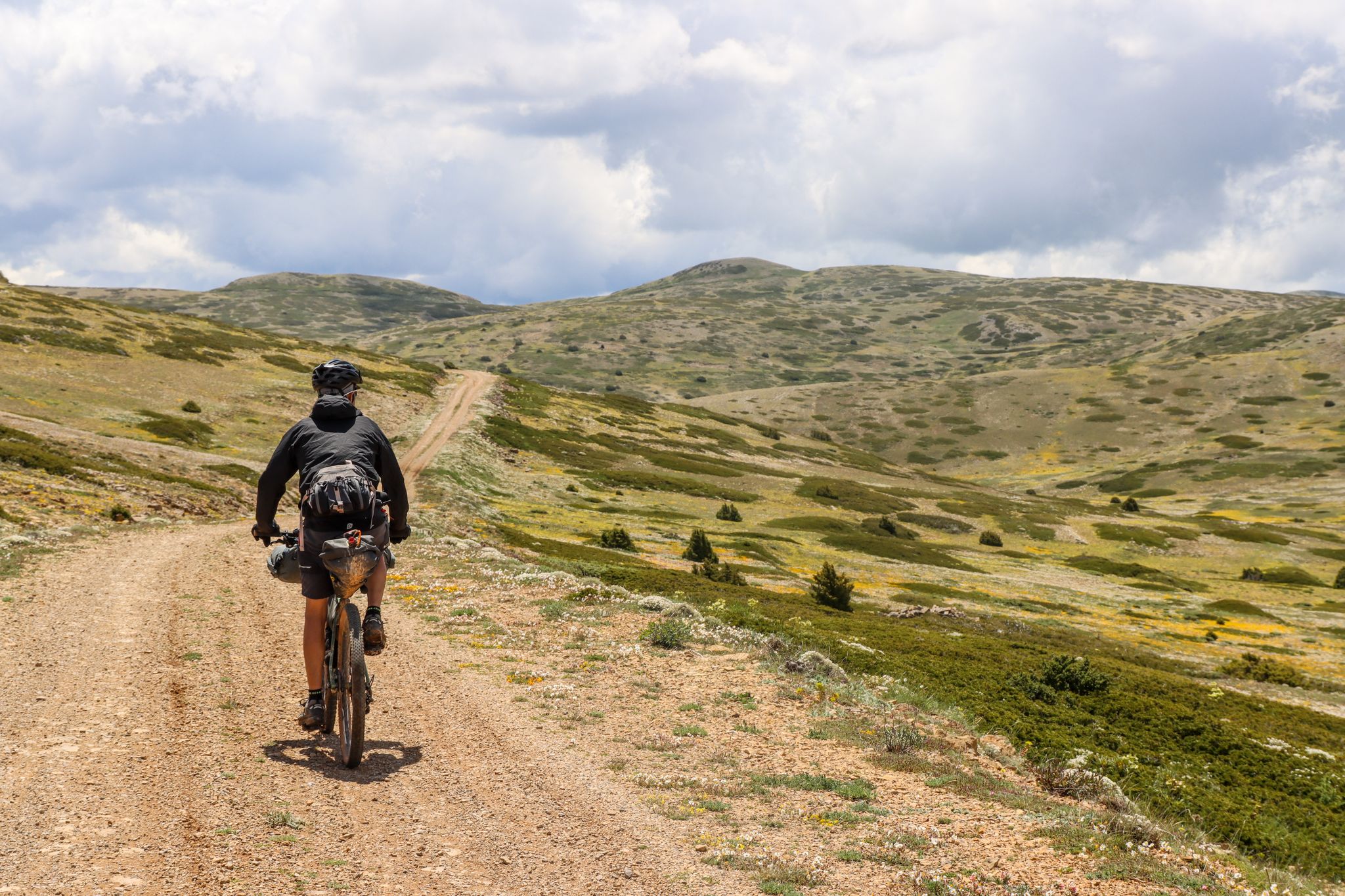
Montañas Vacías — bikepacking the wild and remote 'Empty Mountains'
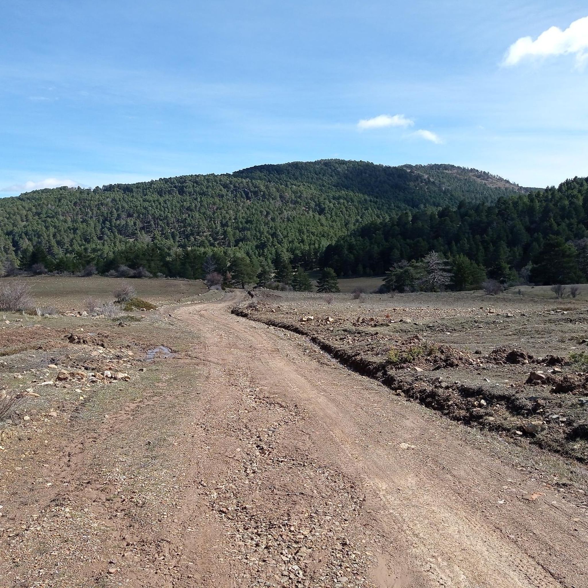
MTB Trails around Orihuela Del Tremedal
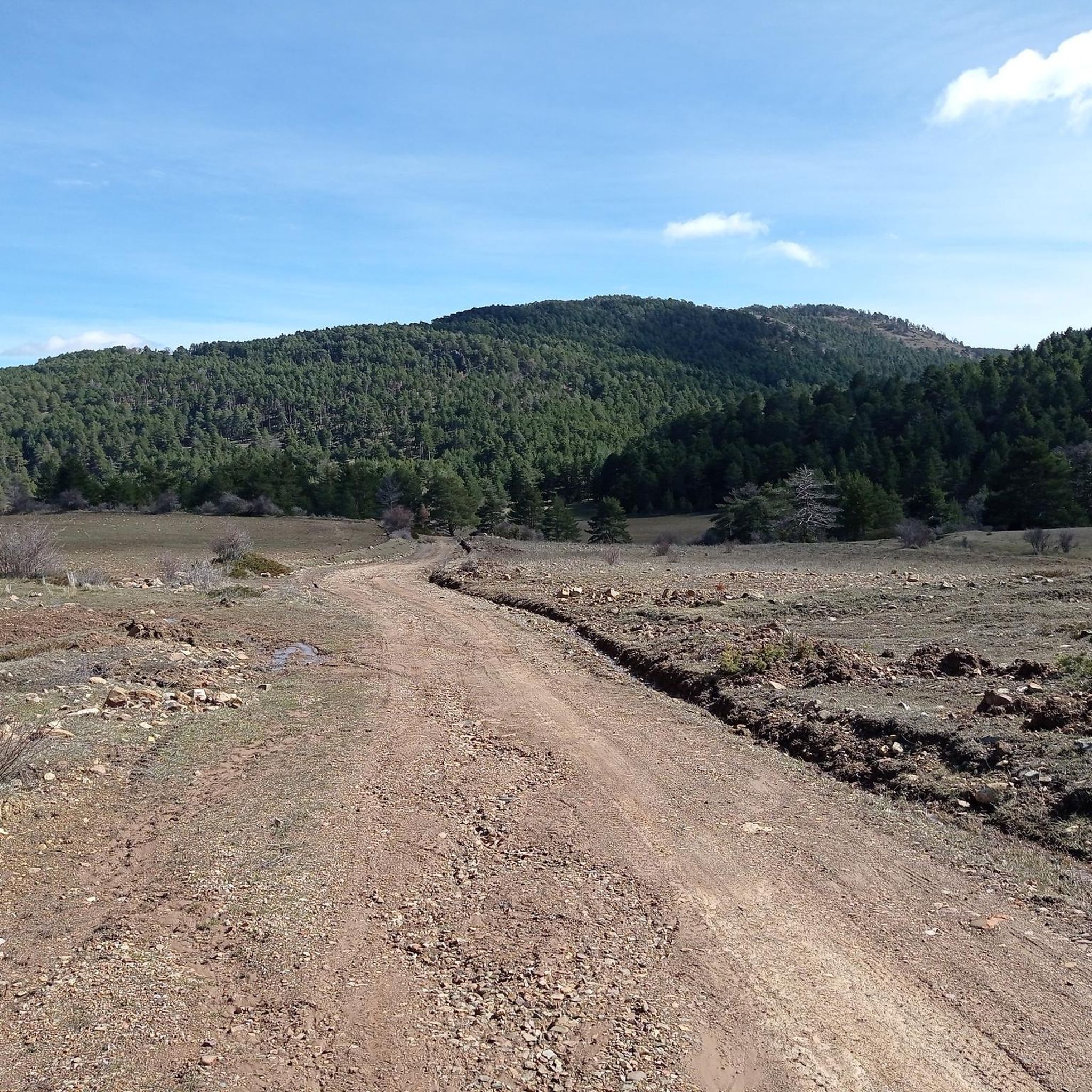
Road Cycling Routes around Orihuela Del Tremedal
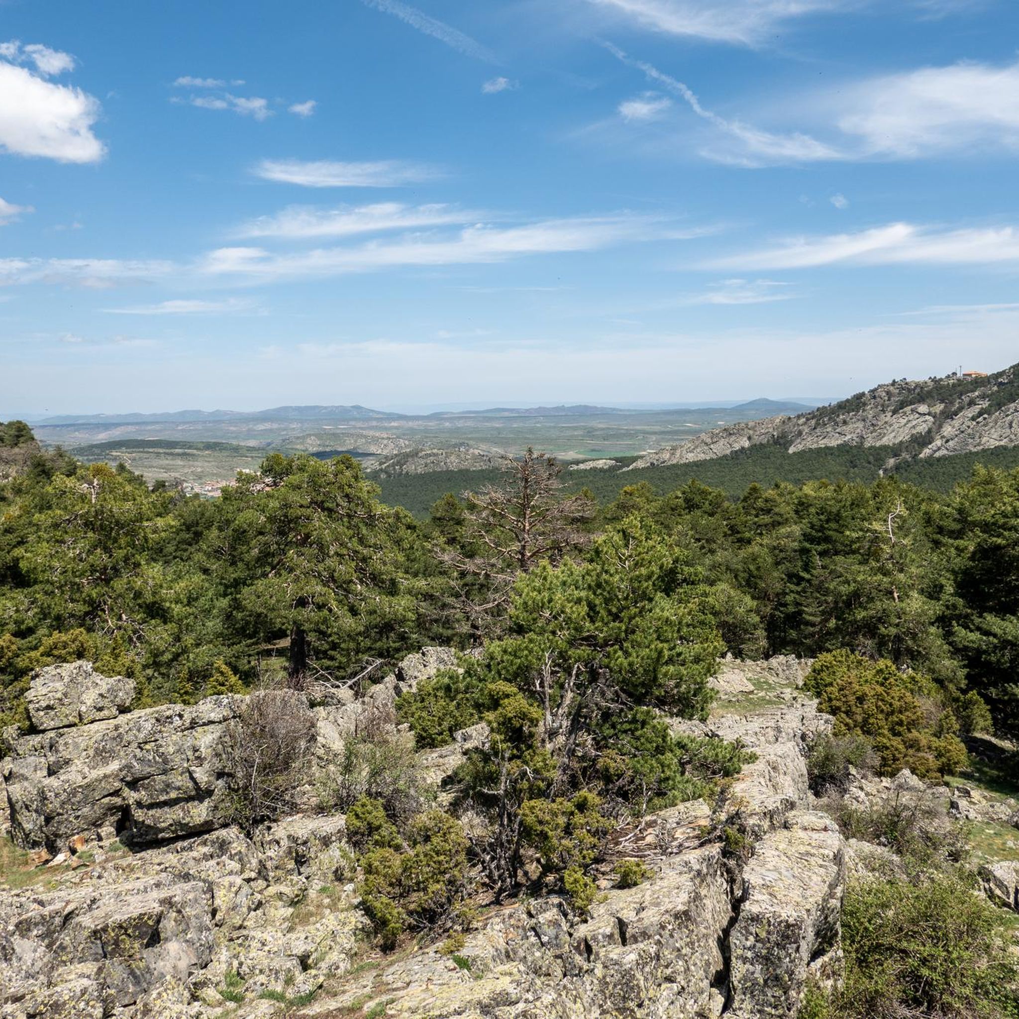
Cycling around Orihuela Del Tremedal
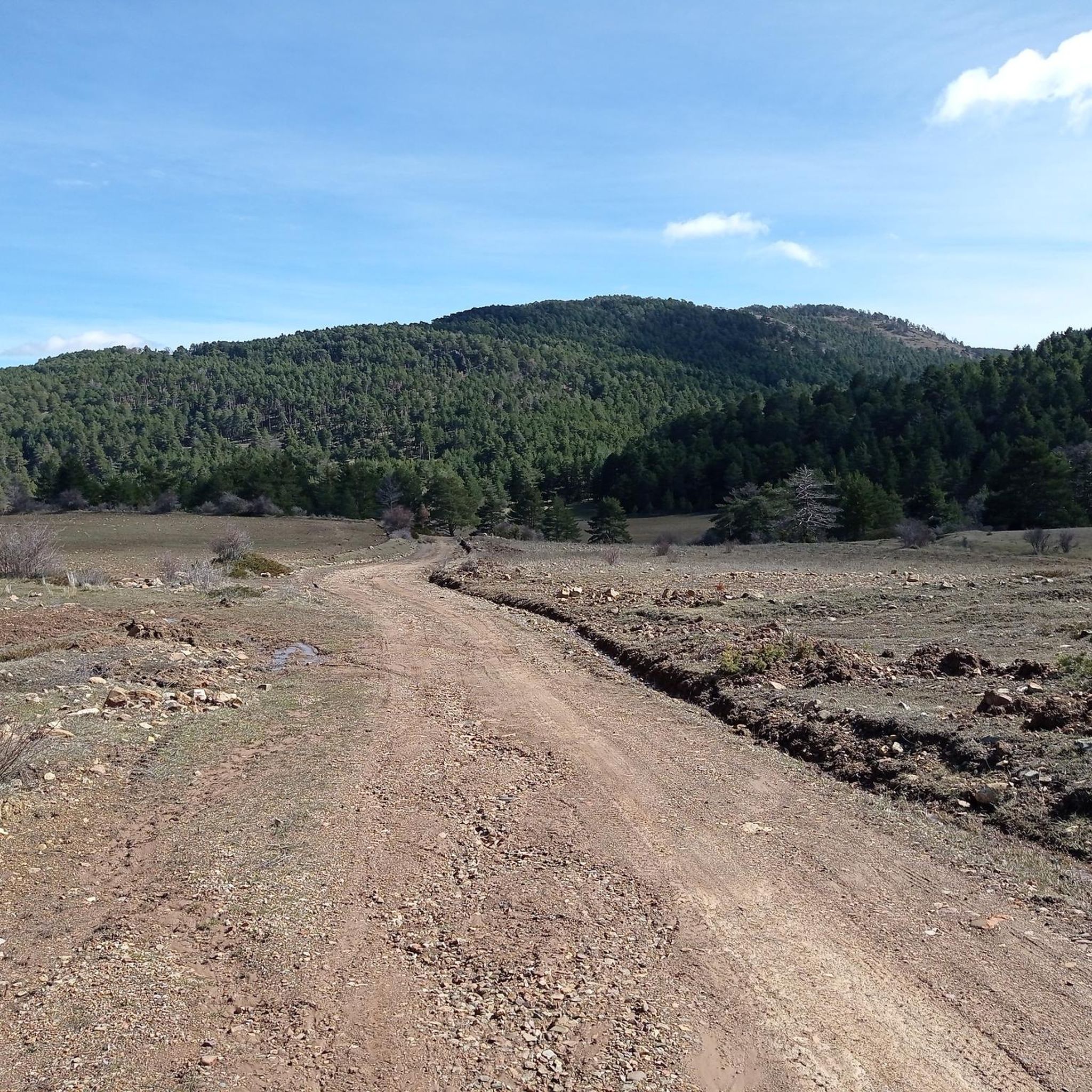
Hiking around Orihuela Del Tremedal
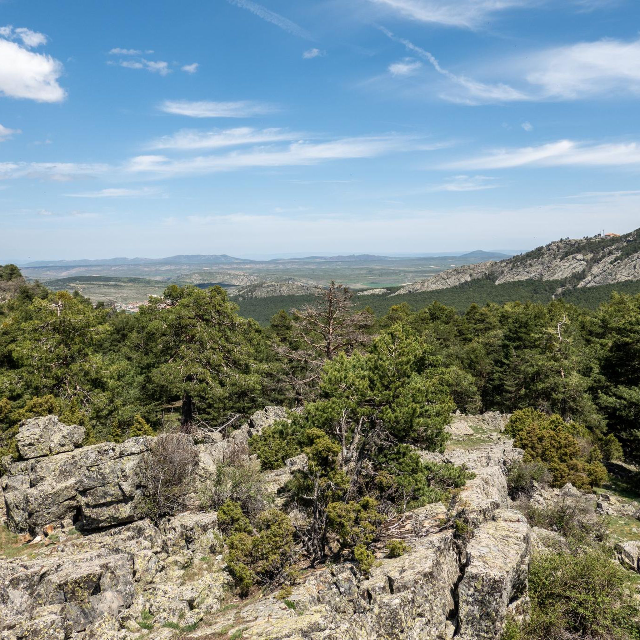
Running Trails around Orihuela Del Tremedal


Tips from the Community

Emblematic place, with natural sculptures, visible from the road itself
0
0

Within the great beauty of the Enchanted City of Chequilla are the Towers, near the Church Square.
0
0

This setting couldn't be more spectacular, containing a series of stone figures capriciously created by nature over hundreds of thousands of years. Erosion has exposed the hardest parts of the rocks, which remain as silent witnesses to the passage of time and serve as an attraction for tourists who come to marvel at these strange formations.
9
0
These rock formations create a very unique setting at the entrance to the town of Chequilla. Erosion over hundreds of thousands of years has formed these whimsical figures that serve as a tourist attraction for anyone who visits this small town.
0
0

The official source of water is located at Fuente de García, in the Montes Universales, within the municipality of Frías de Albarracín (Teruel). It is located at an altitude of approximately 1,590 meters, surrounded by pine forests and high mountain meadows. Access is very easy and well signposted. Take the A-1704 highway, which connects Frías de Albarracín with Huélamo (Cuenca). From the highway, a paved detour of approximately 2 km takes you directly to the recreational area and the monument. There is free parking next to the monument.
10
0
Access is very easy and well signposted. Take the A-1704 highway, which connects Frías de Albarracín with Huélamo (Cuenca). From the highway, a paved detour of approximately 2 km takes you directly to the recreational area and the monument. There is free parking next to the monument.
5
0
The official source is located at Fuente de García, in the Montes Universales, within the municipality of Frías de Albarracín (Teruel). It is located at an altitude of approximately 1,590 meters, surrounded by pine forests and high mountain meadows.
5
0
It is a reference to the place where the longest river in Spain originates, stretching over 1,000 km and flowing into neighboring Portugal. These statues symbolize this point in the Albarracín mountain range.
8
0
Frequently Asked Questions
What kind of terrain can I expect on gravel bike trails around Orihuela Del Tremedal?
The terrain in Orihuela Del Tremedal is characterized by a high sierra environment with extensive black pine and Scots pine forests, particularly at altitudes exceeding 1,400 meters. You'll encounter varied surfaces, including untarmacked rural roads, tracks, green ways, and narrow trails, often combining mid-mountain paths with compacted or asphalted sections. Unique geological features like "Ríos de Piedra" (rivers of stone) and "Tremedales" (peat bogs) also define the landscape.
How many gravel bike trails are available in the Orihuela Del Tremedal area?
There are 10 gravel bike trails documented in the Orihuela Del Tremedal area on komoot. These routes offer a range of experiences, from moderate to difficult, catering to different skill levels.
Are there any easy gravel bike trails for beginners or families in Orihuela Del Tremedal?
While many routes in the area are rated difficult, there are moderate options available. For instance, the Bronchales Town Center – Camping Las Corralizas loop from Bronchales is a moderate 19.2 km route that takes you through the scenic pine forests. Another moderate option is the Puerto de Orihuela – Orihuela del Tremedal loop from Orihuela del Tremedal, covering 20.1 km with enjoyable varied terrain.
What are some notable natural features or landmarks to look out for on the gravel routes?
Orihuela Del Tremedal is rich in unique natural features. You might encounter the spectacular "Ríos de Piedra" (rivers of stone), extensive periglacial accumulations of quartzite blocks, or the protected "Tremedales" (peat bogs) with their distinctive flora. For panoramic views, consider routes that pass near viewpoints like the Mirador de la Sierra Alta. You can also explore highlights such as the Sierra Alta Summit or the Passage between rocks.
Are there any circular gravel bike routes available?
Yes, many of the gravel bike routes in Orihuela Del Tremedal are designed as loops. For example, the challenging Bronchales Town Center – Orihuela del Tremedal loop from Bronchales and the Orihuela del Tremedal – Bronchales Town Center loop from Orihuela del Tremedal are both excellent circular options that connect two notable towns through forested high sierra.
What is the best time of year to go gravel biking in Orihuela Del Tremedal?
Given its high sierra environment, Orihuela Del Tremedal is generally best for gravel biking during the spring, summer, and early autumn months. These seasons offer more favorable weather conditions, as winter can bring snow and colder temperatures, making some high-altitude trails more challenging or inaccessible.
Are there any historical or cultural points of interest along the gravel trails?
Orihuela Del Tremedal is part of the historic Camino del Cid route, which features dedicated gravel biking sections. These routes often pass through areas with historical significance. You can also find nearby attractions like Peracense Castle, offering a glimpse into the region's past.
What kind of elevation changes can I expect on the gravel bike trails?
The region is situated in a high sierra environment, with Mount Caimodorro reaching 1,936 meters. This means you can expect varying elevations, providing both challenging uphills and enjoyable flat or downhill sections. For example, the Bronchales – Bronchales Town Center loop from Bronchales involves over 450 meters of elevation gain and descent over its 23.1 km.
Are there places to stop for refreshments or accommodation near the trails?
Orihuela Del Tremedal and nearby towns like Bronchales serve as excellent bases for exploring. While specific cafes or pubs on the trails are not detailed, these towns typically offer amenities for visitors. Some routes, like the Bronchales Town Center – Camping Las Corralizas loop from Bronchales, even pass by camping areas, suggesting options for breaks or overnight stays.
What makes Orihuela Del Tremedal a good destination for gravel biking?
Orihuela Del Tremedal is an exceptional destination for gravel biking due to its diverse and stunning natural features, unique landscapes, and extensive network of routes. It offers a tranquil environment, allowing visitors to immerse themselves in nature, with varied terrain suitable for gravel bikes, including sections of the Camino del Cid and the demanding Montañas Vacías route.
Are there any refuges or shelters along the routes for breaks?
Yes, the area features several refuges and shelters that can be useful for breaks or in case of unexpected weather. Notable options include the La Portera Refuge and Viewpoint, El Collado Refuge, and the Mountain Shelter. These can provide a convenient stop during your ride.
Most popular routes around Orihuela Del Tremedal
Most popular attractions around Orihuela Del Tremedal

Get inspired with the komoot mobile app


Explore more
Browse the best Gravel rides in other regions.
