The best gravel rides around El Palomar
4.6
(8)
144
riders
32
rides
Gravel biking around El Palomar offers diverse landscapes and challenging terrain, characterized by significant elevation changes. The region features a mix of paved and unpaved surfaces, including fire roads, winding through lush forests and mountain scenery. Gravel bikers can expect varied terrain, from dirt paths to eroded pavement, providing a robust outdoor experience. The terrain generally has limited elevation change, making it accessible for various levels of outdoor activity.
Best gravel bike trails around El Palomar
- The most popular gravel…
Last updated: July 8, 2026
5.0
(1)
13
riders
36.2km
02:15
540m
540m
Hard gravel ride. Very good fitness required. Mostly paved surfaces. Suitable for all skill levels.
11
riders
38.9km
03:07
650m
640m
Hard gravel ride. Very good fitness required. Mostly paved surfaces. Suitable for all skill levels.

Sign up for free
3.0
(1)
20
riders
42.3km
02:31
480m
480m
Hard gravel ride. Very good fitness required. Mostly paved surfaces. Suitable for all skill levels.
9
riders
46.8km
03:35
1,040m
1,040m
Hard gravel ride. Very good fitness required. Mostly paved surfaces. Suitable for all skill levels.
6
riders
37.8km
03:14
860m
860m
Hard gravel ride. Very good fitness required. Mostly paved surfaces. Suitable for all skill levels.
Get access to more routes and recommendations from other explorers.
Sign up for free
Already have an account?
Our route recommendations are based on thousands of hikes, rides, and runs completed by other people on komoot.
Start today with a free account
Your next adventure awaits.
Login or Signup
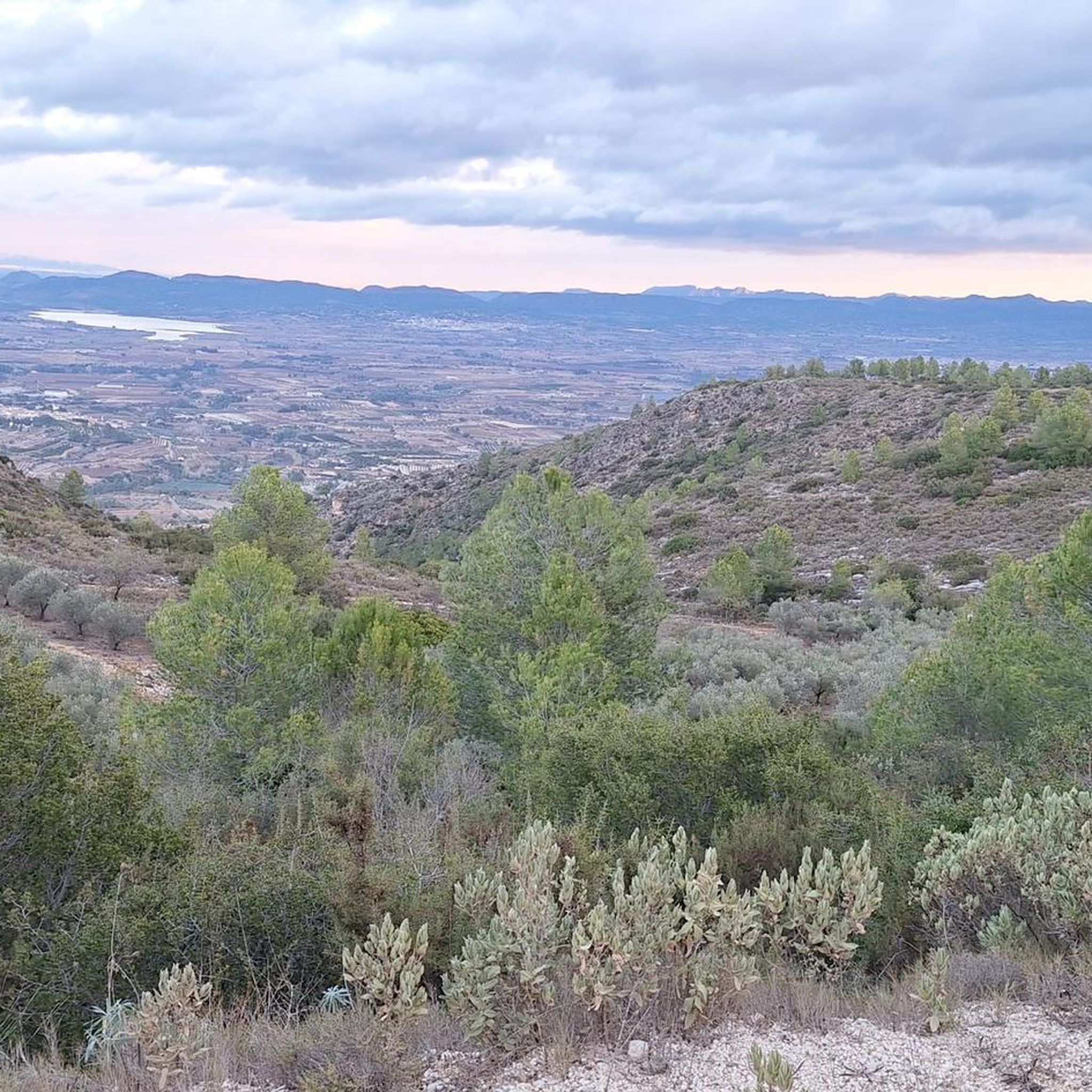
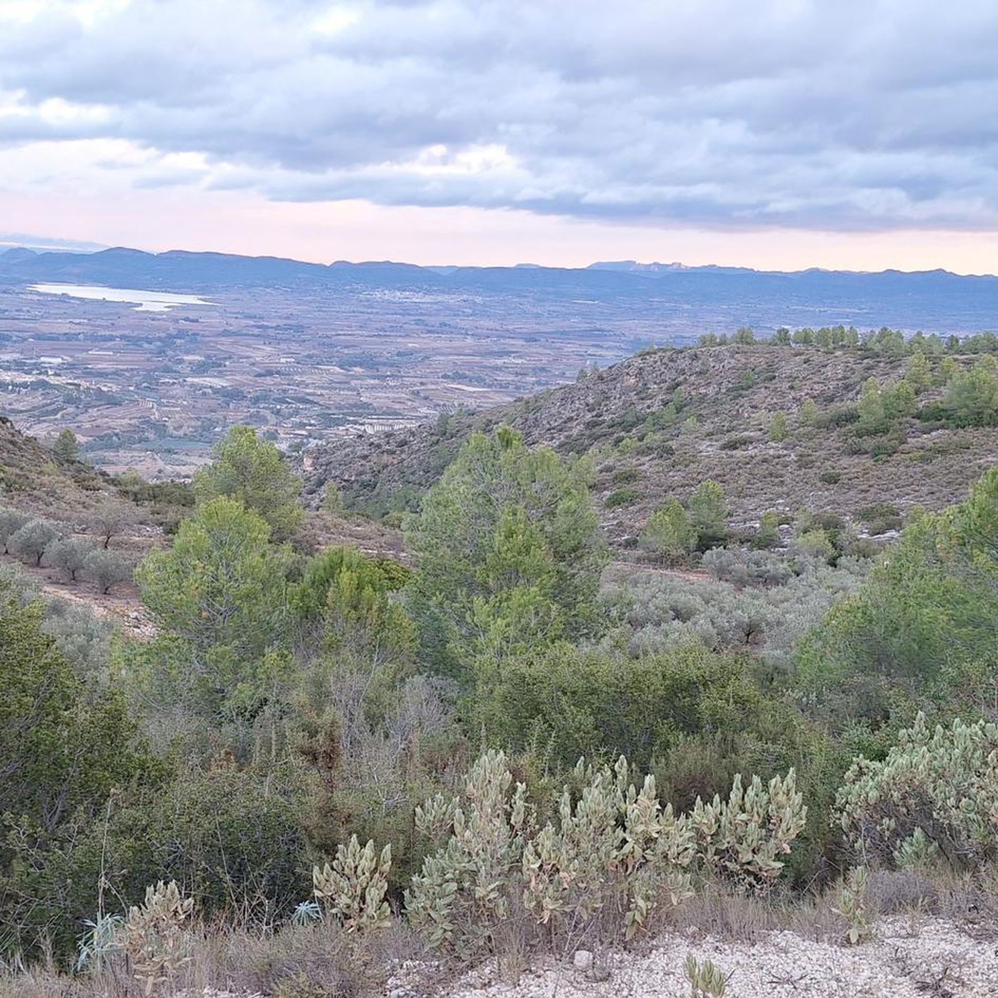

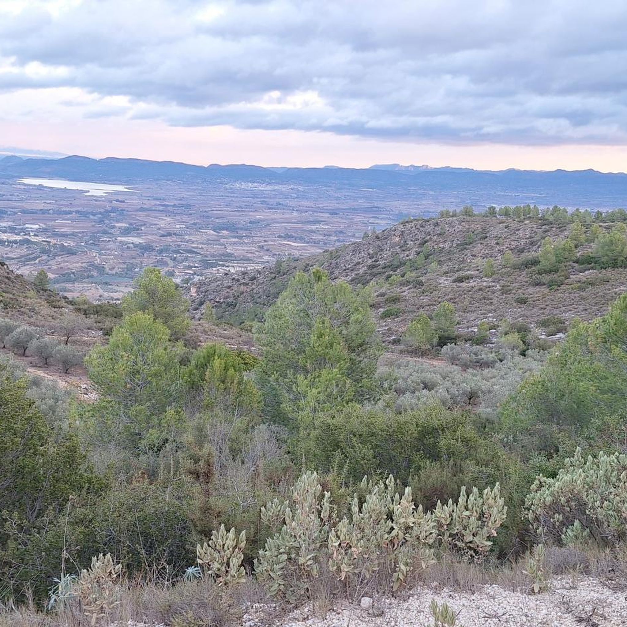
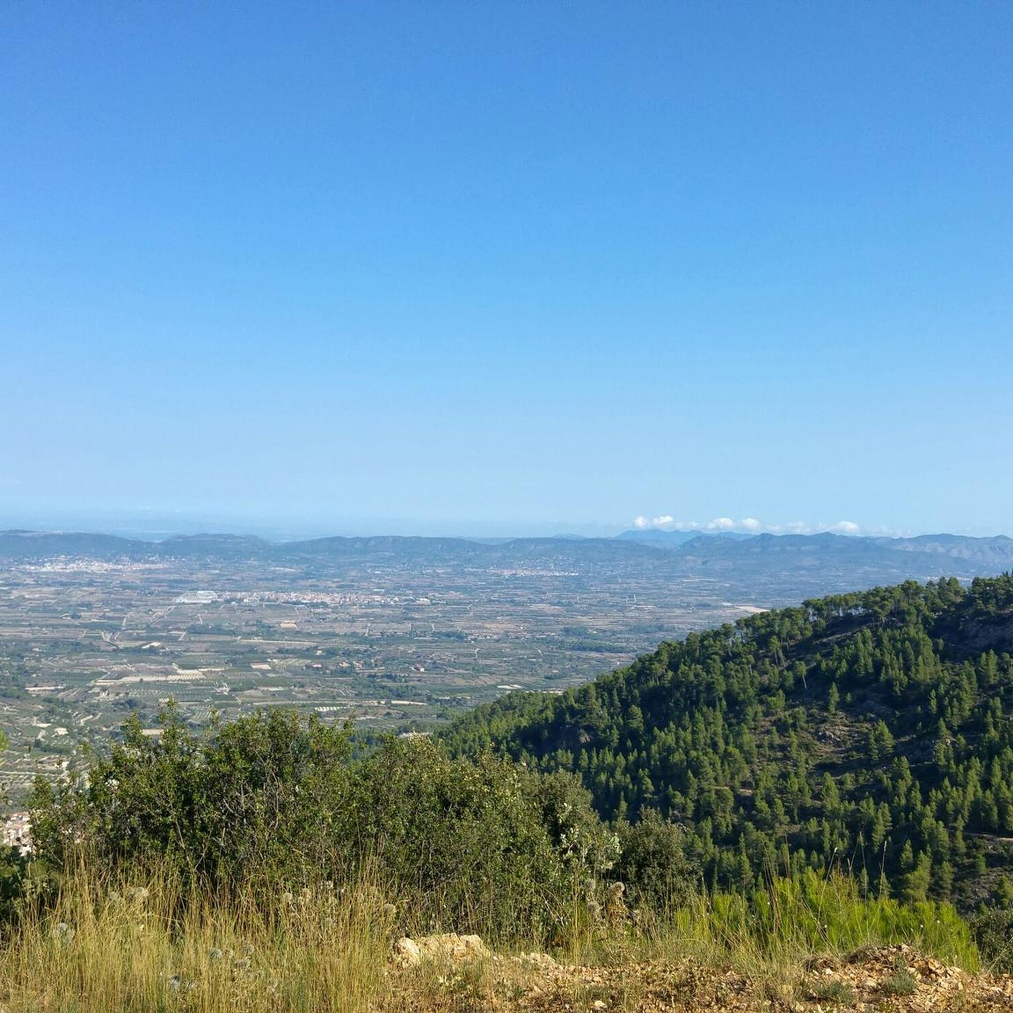
Tips from the Community

The only crossing over the river. Suitable spot for a picnic. It's not far to Villalonga from here.
2
0
Everything close to the train station. The castle, which is worth seeing, towers above.
2
0
There are several tunnels on the route. 2 to 3 longer ones: you absolutely need light. Otherwise, it's pitch dark.
2
0

A beautiful hike through the Hell's Gorge. The actual route along the railway line, and probably the most interesting section between L'Orcha and Mare de Deu (Barranco del Infierno = Hell's Gorge), is unpaved and unpaved, in some parts very gravelly and rough. Five metal bridges are missing, two stone bridges remain, and six tunnels are traversed, all without lighting.
1
0

Beautiful, you have to go up there at least once in your life.
1
0

On Grabel, it's advisable to keep your tire pressures correct. I recommend over-inflating rather than underinflating. There are some cobblestone areas.
1
0

Having lunch at the La Oliva bar in Beniarrés at the foot of the Benicadell is an experience that is nothing short of mystical. Here, breakfast is a religion.
0
0

Good route. Good place for a KitKat with water here and further along on Cami Port Albaida
0
0
Frequently Asked Questions
How many gravel bike trails are available in El Palomar?
El Palomar offers a wide selection of gravel biking routes, with over 40 tours available. These routes cater to various skill levels, ranging from moderate to difficult, ensuring a suitable challenge for most riders.
What is the general difficulty level of gravel biking in El Palomar?
Gravel biking in El Palomar is generally considered challenging, with most routes rated as difficult. The terrain often includes significant elevation changes and a mix of paved and unpaved surfaces, including fire roads and eroded pavement. There are also some moderate options available for those seeking a less intense ride.
Are there any loop gravel bike trails in El Palomar?
Yes, many of the gravel bike trails in El Palomar are designed as loops, offering a convenient way to explore the region without retracing your path. Examples include the Serpis River – Azud del Infierno or del Forn loop from Beniarrés and the L'Estepar Tunnel – L'Estepar Rest Area loop from Cocentaina, both providing diverse landscapes and challenging climbs.
What kind of natural features can I expect to see along the gravel routes?
El Palomar's gravel routes wind through lush forests, characterized by mountain pines and cedars, offering a feel reminiscent of the southern Sierra Nevada. You'll also encounter diverse terrain, from shaded areas to open sections, and frequently open up to panoramic viewpoints with breathtaking long-range views of the surrounding valleys and mountains.
Are there any specific points of interest or landmarks along the gravel trails?
While riding, you can discover several interesting points. For instance, the region is known for its gorges, such as the Barranco de Caturla, and various reservoirs like the Beniarrés Reservoir. Some routes may also offer views of historical sites like the Ruins and weir on the Riu Clariano.
What is the best time of year for gravel biking in El Palomar?
El Palomar offers varied conditions throughout the year. While the region is generally suitable for outdoor activities, some areas might experience occasional snow during certain times of the year, particularly at higher elevations. For the most comfortable riding experience, consider spring and autumn when temperatures are milder and the landscapes are vibrant.
What do other gravel bikers enjoy most about El Palomar?
The komoot community highly rates gravel biking in El Palomar, with an average score of 4.5 stars from over 7 reviews. Riders often praise the challenging climbs, the diverse mix of paved and unpaved surfaces, and the stunning natural beauty, including lush forests and panoramic vistas. The variety of routes, such as the Alt del Forner de Verda – Cava de la Pedrera loop from Cocentaina, are frequently highlighted for their scenic mountain scenery.
Are there any family-friendly gravel trails in El Palomar?
While many routes in El Palomar are rated as difficult due to significant elevation changes, there are some moderate options available. For families, it's advisable to look for routes with less elevation gain and smoother surfaces. Always check the route details on komoot for specific difficulty ratings and terrain descriptions to ensure it's suitable for all family members.
Where can I find parking near the gravel trails in El Palomar?
Many gravel routes in El Palomar start from towns like Beniarrés or Cocentaina, where you can typically find public parking facilities. For example, the Camino del Torrater – Path to Agres loop from Agres starts near the town of Agres, which would likely offer parking options. It's always a good idea to check the starting point of your chosen route for specific parking information.
Are there any viewpoints along the gravel bike routes in El Palomar?
Yes, the gravel routes in El Palomar frequently lead to rewarding viewpoints. You can expect panoramic vistas of the surrounding valleys and mountains. Specific highlights include the Barranc de Cairent Viewpoint and the Sempere Reservoir Viewpoint, offering elevated perspectives of the landscape.
What is the longest gravel bike trail in El Palomar?
Among the listed routes, the Camino del Torrater – Path to Agres loop from Agres is one of the longer options, covering approximately 46.9 kilometers (29.1 miles) with a significant elevation gain of 778 meters. This route offers an extensive exploration of the region's diverse terrain.
Can I find cafes or places to rest near the gravel trails?
While the routes themselves traverse natural and often remote areas, starting and ending points in towns like Beniarrés, Cocentaina, or Agres typically offer amenities such as cafes and restaurants where you can refuel and rest before or after your ride. It's recommended to carry sufficient water and snacks, especially on longer routes like the Benicadell Forest Hut – Views of Benicadell loop from Beniatjar, as services may be sparse along the trails.
Most popular routes around El Palomar
Most popular attractions around El Palomar

Get inspired with the komoot mobile app


Explore more
Browse the best Gravel rides in other regions.
