The best gravel rides around Camarillas
5.0
(2)
10
riders
4
rides
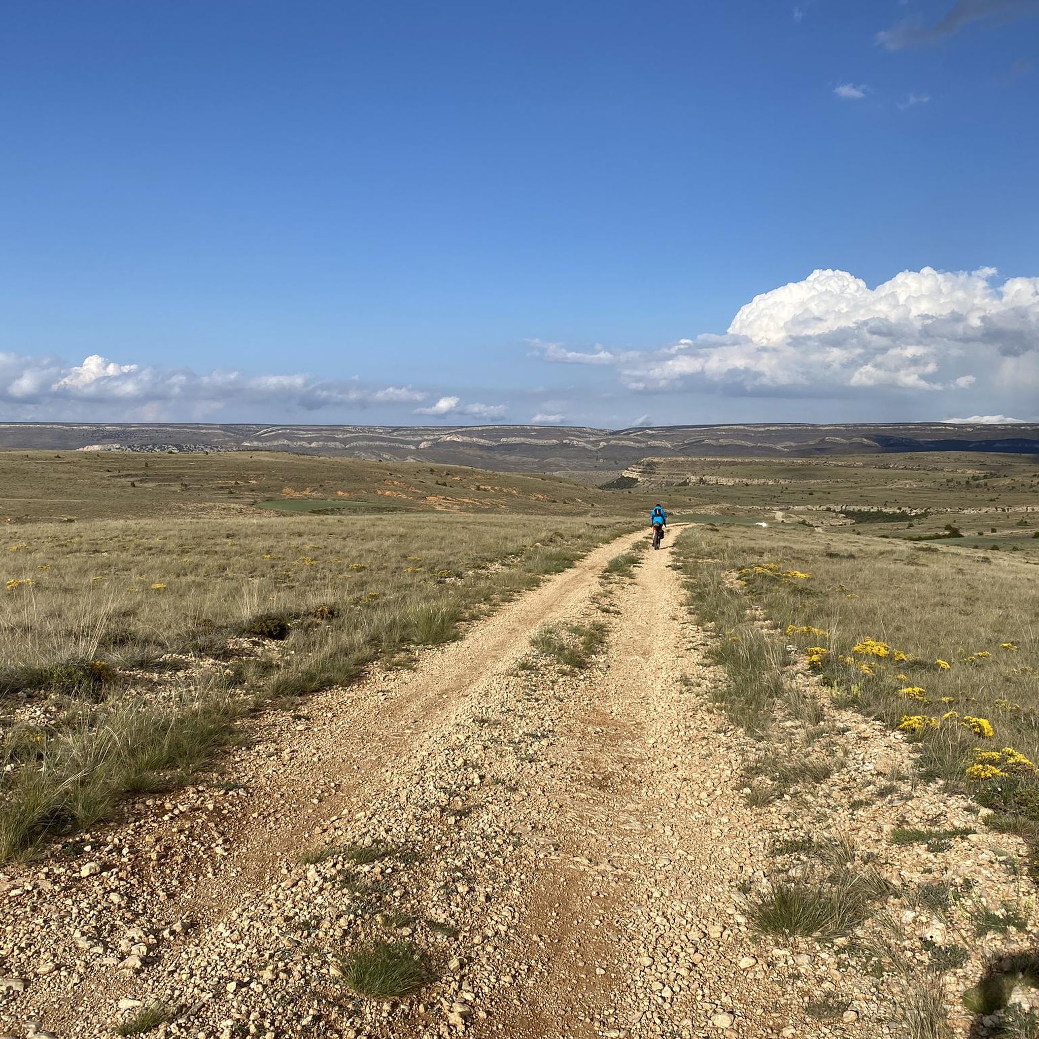
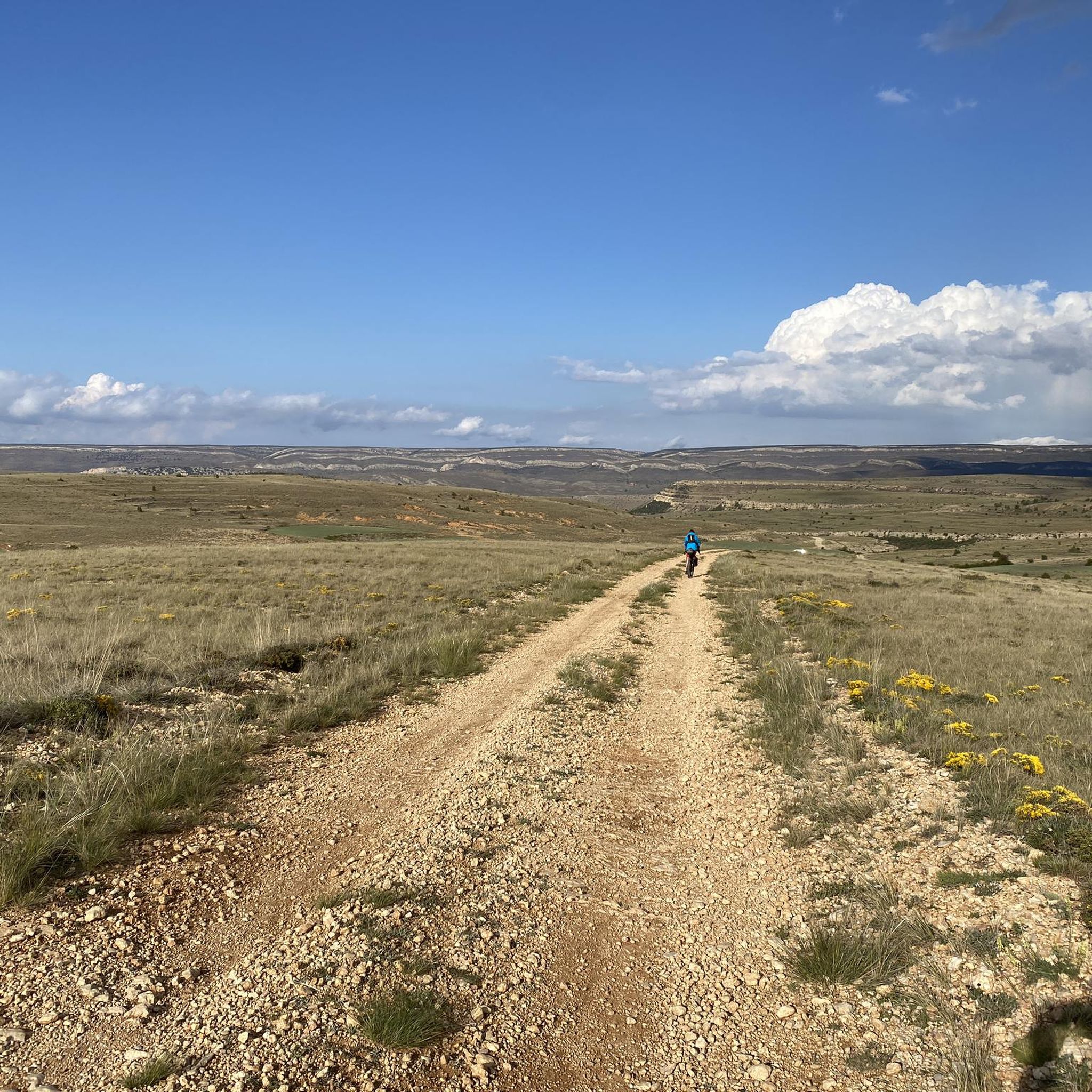
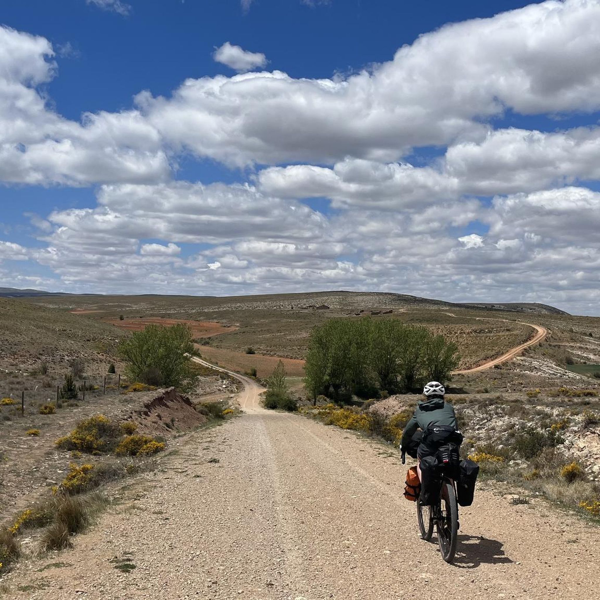
Gravel biking around Camarillas features a rugged landscape characterized by deep gorges, pine forests, and mountainous terrain. The region's trails often involve significant elevation changes, traversing through areas like the Sierra de San Just and the Val de Aliaga. These routes provide challenging rides through varied natural environments, including river valleys and elevated passes.
Best gravel bike trails around Camarillas
- The most popular gravel bike trail is Villarroya de los Pinares – Miravete de la Sierra loop from Aliaga, a 24.1 miles (38.9 km) trail that takes 3 hours 21 minutes to complete, offering views of the Sierra.
- Another top favourite among local gravel bikers is Ermita de San Benón – Miravete de la Sierra loop from Villarroya de los Pinares, a difficult 24.8 miles (39.9 km) path. This route explores pine forests and elevated sections.
- Local gravel bikers also love the Gorge of the Río de la Val – Aldehuela Gorge loop from Aliaga, a 32.6 miles (52.4 km) trail leading through river gorges, often completed in about 3 hours 35 minutes.
- Gravel biking around Camarillas is defined by deep river gorges, extensive pine forests, and challenging mountain passes. The network offers options for experienced riders seeking demanding routes.
- The guide includes highly-rated routes that showcase the best of the region's landscape. More than 10 gravel bikers have used komoot to explore Camarillas's varied terrain.
Last updated: July 2, 2026
5.0
(1)
3
riders
39.2km
02:56
550m
550m
Hard gravel ride. Very good fitness required. Mostly paved surfaces. Suitable for all skill levels.
1
riders
52.4km
03:36
780m
780m
Hard gravel ride. Very good fitness required. Mostly paved surfaces. Suitable for all skill levels.

Sign up for free
5.0
(1)
3
riders
Hard gravel ride. Very good fitness required. Mostly paved surfaces. Suitable for all skill levels.
2
riders
110km
08:23
2,540m
2,540m
Hard gravel ride. Very good fitness required. Mostly paved surfaces. Suitable for all skill levels.
1
riders
41.1km
03:07
790m
790m
Hard gravel ride. Very good fitness required. Mostly paved surfaces. Suitable for all skill levels.
Our route recommendations are based on thousands of hikes, rides, and runs completed by other people on komoot.
Start today with a free account
Your next adventure awaits.
Login or Signup

Tips from the Community


Tough climb but with beautiful hairpin bends
0
0
Beautiful nature reserve, take your time to look around
0
0

Picnic area with many tables at the church with cooking facilities and water
0
0

We also find numerous interesting buildings scattered throughout the rest of the municipality. For example, the castle of El Cid (11th-12th century), the fortified farm of La Torre. Also several hermitages such as those of Loreto (1648), Santa Bárbara (1715), San Cristóbal (around 1500) and Buen Suceso, in short, definitely worth a visit.
1
0
Fortanete offers incredible views and is surrounded by two rugged mountain ranges: the Sierra de la Cañada and the Tarrascón-Las Las Lastras mountain ranges. The natural environment is mainly dominated by high, cool pastures and especially by the extensive and well-preserved winter pine forests.
1
0
In this town of more than 200 inhabitants, the Guadalope River, which rises in the municipal district, the Agua Blanca River and the Barranco del Cañadizo ravine meet in an extremely abrupt and mountainous terrain. The environment is articulated by the constraints of the environment, which gives it that mountainous but at the same time calm atmosphere. If you like unspoiled nature... so beautiful here
1
0

There is a fountain to refill water. There is a shop in the same square where you can buy something to eat if you need to.
1
0
Frequently Asked Questions
What is the general difficulty level of gravel bike trails in Camarillas?
Gravel biking in Camarillas is characterized by challenging terrain. All listed routes are rated as "difficult," featuring significant elevation changes and rugged landscapes. Riders should be prepared for demanding conditions, as exemplified by routes like the Villarroya de los Pinares – Miravete de la Sierra loop from Aliaga, which includes over 500 meters of ascent.
Are there any family-friendly or beginner gravel bike routes in Camarillas?
Given the challenging nature of the terrain and the difficulty ratings of the available routes, Camarillas is not typically recommended for beginners or young families seeking easy gravel biking experiences. The routes often involve significant climbs and descents through mountainous areas.
What are the typical distances and elevation gains for gravel bike routes around Camarillas?
Gravel bike routes in Camarillas generally range from approximately 24 miles (39 km) to over 67 miles (109 km). Elevation gains can be substantial, with routes like the San Cristóbal Pass – Cantavieja loop from Aliaga featuring over 2,500 meters of ascent.
Are the gravel bike routes in Camarillas primarily loop trails?
Yes, the gravel bike routes highlighted in the region are predominantly loop trails. This allows riders to start and finish at the same point, making logistics simpler. Examples include the Ermita de San Benón – Miravete de la Sierra loop from Villarroya de los Pinares and the Gorge of the Río de la Val – Aldehuela Gorge loop from Aliaga.
What kind of landscapes can I expect to see while gravel biking in Camarillas?
The region offers a diverse and rugged landscape. You can expect to traverse deep river gorges, extensive pine forests, and challenging mountain passes. Routes often provide views of areas like the Sierra de San Just and the Val de Aliaga, showcasing the natural beauty of the area.
What are some notable natural features or landmarks along the gravel bike trails?
While riding, you might encounter significant natural features such as the Waterfall in Barranco de la Hoz Mala on the Guadalope River. Mountain passes like San Cristóbal Pass are also prominent landmarks offering expansive views.
Are there any historical or cultural points of interest near the gravel bike routes?
Yes, the region has several points of interest. You might pass through charming settlements like Villarroya de los Pinares or encounter religious buildings such as the Sanctuary of the Virgin of the Field and Ermita de San Benón, which are often located in scenic spots.
What is the best time of year to go gravel biking in Camarillas?
Given the mountainous terrain, spring and autumn generally offer the most pleasant conditions for gravel biking in Camarillas, with milder temperatures and potentially less extreme weather. Summer can be hot, and winter may bring colder temperatures and snow at higher elevations.
What do other gravel bikers enjoy most about the trails in Camarillas?
The area is highly rated by the komoot community, with an average score of 5.0 stars. Reviewers often praise the challenging nature of the routes, the stunning natural landscapes, and the sense of adventure found in exploring the deep gorges and pine forests.
Where can I typically find parking when starting a gravel bike route in Camarillas?
While specific parking areas are not detailed for each route, many routes, such as the Aliaga Power Station – Aldehuela Gorge loop from Aliaga, start from towns or villages like Aliaga or Villarroya de los Pinares. It is advisable to check local parking options in these starting locations.
What are the typical trail conditions for gravel biking in Camarillas?
The trails in Camarillas are part of a rugged landscape, so expect varied conditions. This includes gravel paths, potentially rocky sections, and dirt tracks through pine forests and mountainous terrain. Riders should be prepared for uneven surfaces and possible loose gravel.
Most popular attractions around Camarillas

Get inspired with the komoot mobile app


Explore more
Browse the best Gravel rides in other regions.
