The best gravel rides around Barajas De Melo
5.0
(2)
33
riders
2
rides
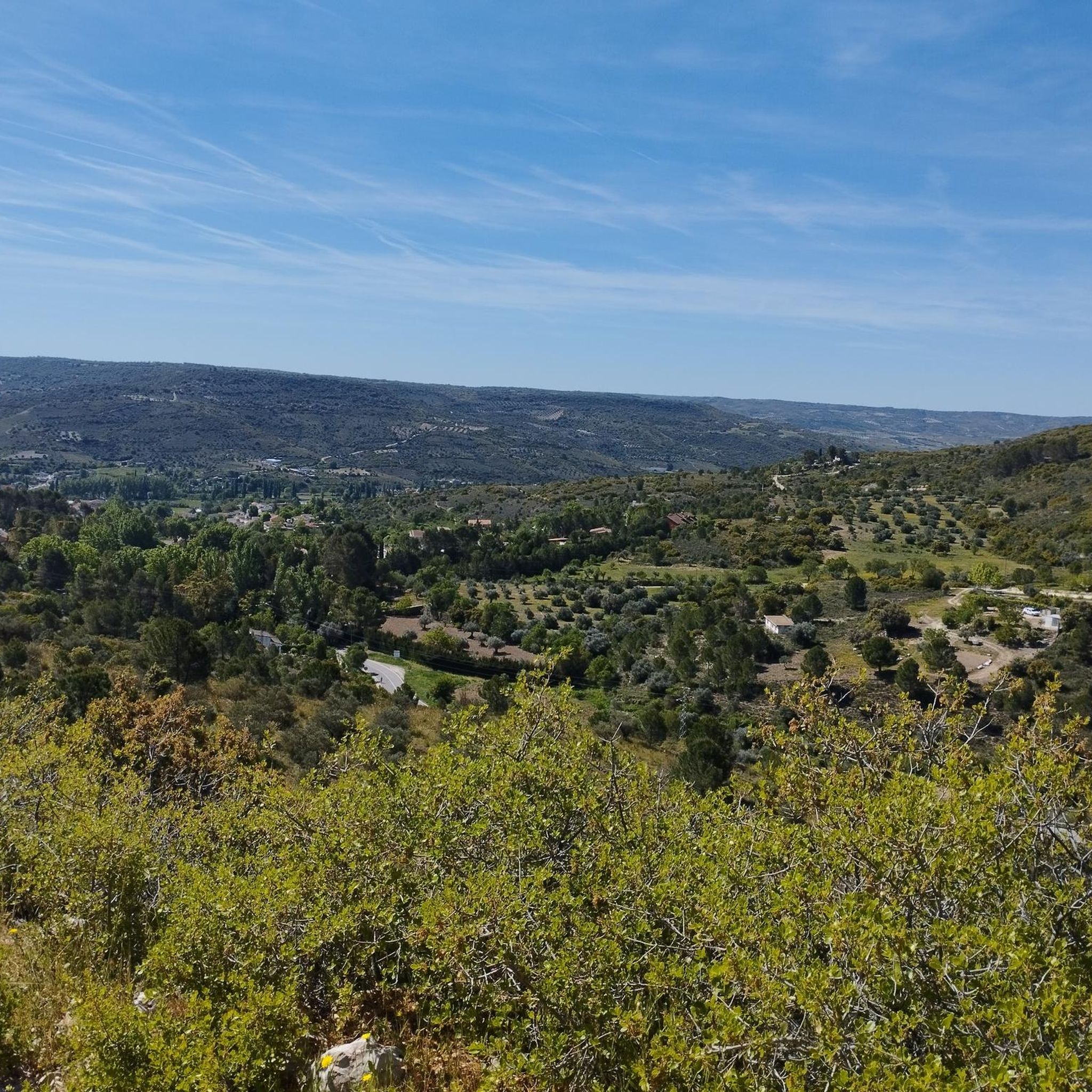
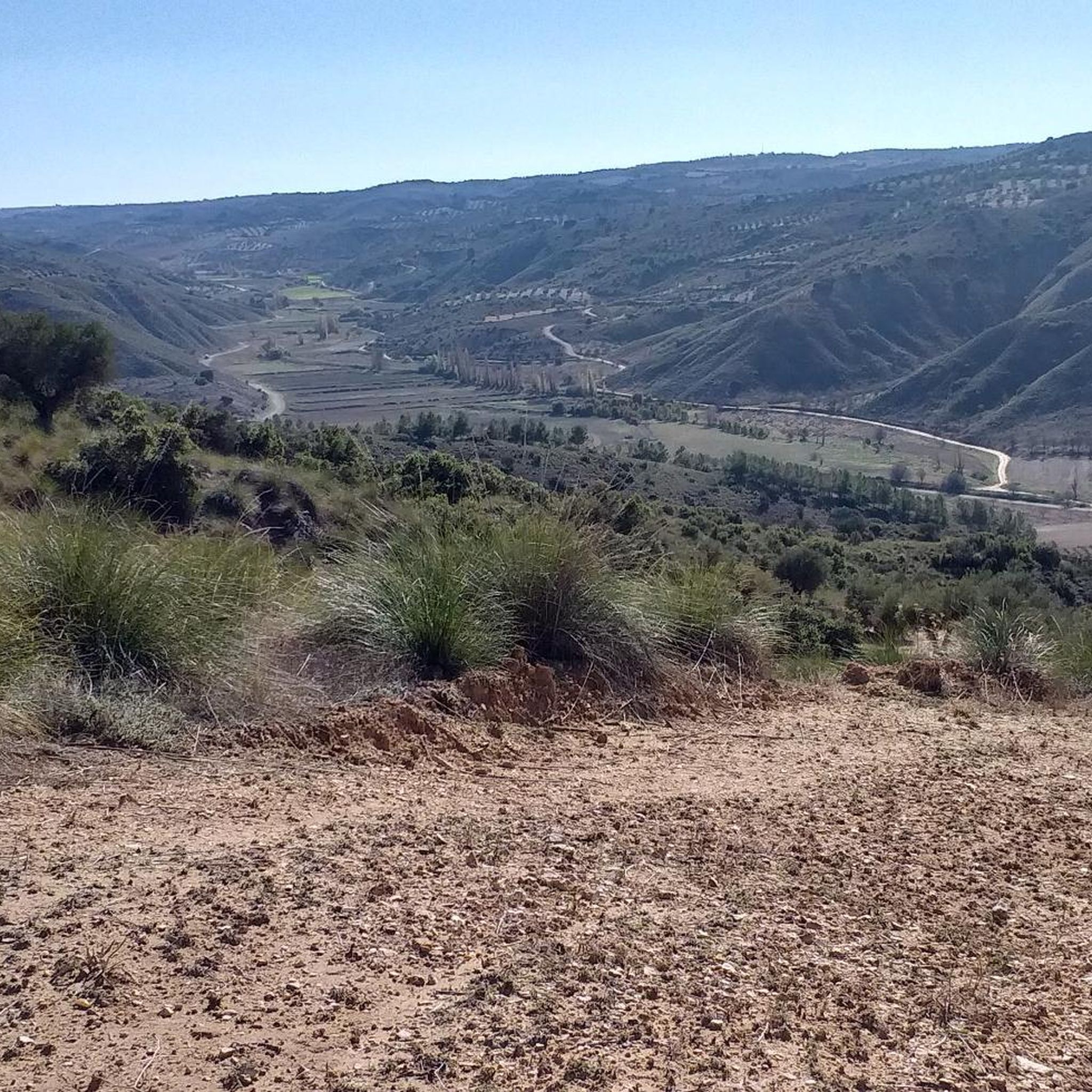
Gravel biking around Barajas De Melo offers routes through the plains and agricultural landscapes of Castilla-La Mancha. The terrain typically features rolling hills, open fields, and occasional river valleys. Routes often connect small towns and historical sites, providing varied scenery for gravel cyclists. The region's geology is characterized by sedimentary rock formations, contributing to the firm, unpaved surfaces common on these trails.
Best gravel bike trails around Barajas De Melo
- The most popular gravel bike trail is Tarancón – Churrería-Cafetería La Fuente loop from Estación de Tarancón, a 27.5 miles (44.3 km) trail that takes 3 hours 31 minutes to complete. This moderate route explores the rural surroundings of Tarancón.
- Another top favourite among local gravel bikers is Fountain of the Five Spouts – View of the Monastery of Uclés loop from Estremera, a difficult 58.3 miles (93.9 km) path. This trail features significant elevation gain and passes by historical landmarks.
- Local gravel bikers also love the Gravel loop from Estación de Tarancón, a 21.7 miles (35.0 km) trail leading through open countryside, often completed in about 3 hours 10 minutes.
- Gravel biking around Barajas De Melo is defined by open plains, agricultural tracks, and rolling hills. The network offers options for different ability levels, from moderate loops to more challenging long-distance routes.
- The guide includes highly-rated routes that showcase the best of the region's landscape. More than 30 gravel bikers have used komoot to explore Barajas De Melo's varied terrain.
Last updated: July 3, 2026
4
riders
44.3km
03:31
170m
170m
Moderate gravel ride. Good fitness required. Mostly paved surfaces. Suitable for all skill levels.
4
riders
Hard gravel ride. Very good fitness required. Mostly paved surfaces. Suitable for all skill levels.

Sign up for free
4.0
(1)
6
riders
35.0km
02:46
130m
130m
Moderate gravel ride. Good fitness required. Mostly paved surfaces. Suitable for all skill levels.
1
riders
52.3km
04:34
560m
560m
Hard gravel ride. Very good fitness required. Mostly paved surfaces. Suitable for all skill levels.
4
riders
45.2km
03:12
400m
400m
Moderate gravel ride. Good fitness required. Mostly paved surfaces. Suitable for all skill levels.
Our route recommendations are based on thousands of hikes, rides, and runs completed by other people on komoot.
Start today with a free account
Your next adventure awaits.
Login or Signup
Tips from the Community

A good place to have a coffee with some good porras…
0
0


Very compact cycle track
0
0

The white and blue signs of the Camino de Uclés are paired with the yellow arrows of the Camino de Santiago de Uclés, one of the variants of the Jacobean routes that leaves for Santiago de Compostela from the Monastery of Uclés, one of the heads (Caput Ordinis) of the Order of Santiago from the 13th century.
0
0

The Monastery welcomes you at the top of the village with a stunning view from the road leading to Uclés. After a long bike ride, it is a good reward.
0
0

Built by the Order of Santiago, construction began in 1529 while Charles I reigned and was completed in 1735 under the reign of Philip V. Monumental construction that leaves no one indifferent, and that during the civil war was first a hospital for one side and later a prison for the other. You can visit it by paying an entrance fee and it is no longer used as a guest house because only one monk lives there, who possibly does not reside there at the time I write this chronicle.
2
0
Rest area near Tarancón with shadows and water to fill the boats
0
0
This spectacular building built by the Order of Santiago is the end of the route or pilgrimage path that starts from the Church of Santiago in Madrid, and is usually done by numerous pilgrims both on foot and by bike.
1
0
Frequently Asked Questions
What types of gravel bike trails can I find around Barajas De Melo?
The region offers a mix of routes through open plains, agricultural tracks, and rolling hills. You'll find trails that connect small towns and pass by historical sites, providing varied scenery for gravel cyclists. The terrain is generally firm due to sedimentary rock formations.
Are there any beginner-friendly gravel bike routes in Barajas De Melo?
While many routes offer a moderate challenge, some are suitable for those looking for a less strenuous ride. For example, the Tarancón – Churrería-Cafetería La Fuente loop from Estación de Tarancón is a moderate 44.3 km trail that explores the rural surroundings of Tarancón without excessive elevation.
What are some more challenging gravel bike routes in the area?
For experienced riders seeking a significant challenge, the Fountain of the Five Spouts – View of the Monastery of Uclés loop from Estremera is a difficult 93.9 km path with substantial elevation gain, passing by notable historical landmarks. Another difficult option is the Uclés Trail – Fuentidueña de Tajo loop from Ctra. M241 - Urb Peña Rubia, covering 52.3 km with considerable climbing.
Are there circular gravel bike routes available near Barajas De Melo?
Yes, many of the gravel bike routes in the area are designed as loops. A popular option is the Gravel loop from Estación de Tarancón, a 35.0 km trail through open countryside, typically completed in about 3 hours and 10 minutes.
What kind of historical landmarks or points of interest can I see along the gravel bike trails?
The region is rich in history and natural beauty. You might encounter structures like the Iron Bridge of Fuentidueña de Tajo or the Cross of the Order of Santiago. Some routes also pass near the Uclés Trail, offering glimpses of historical significance.
Are there any natural attractions or unique geological features to explore?
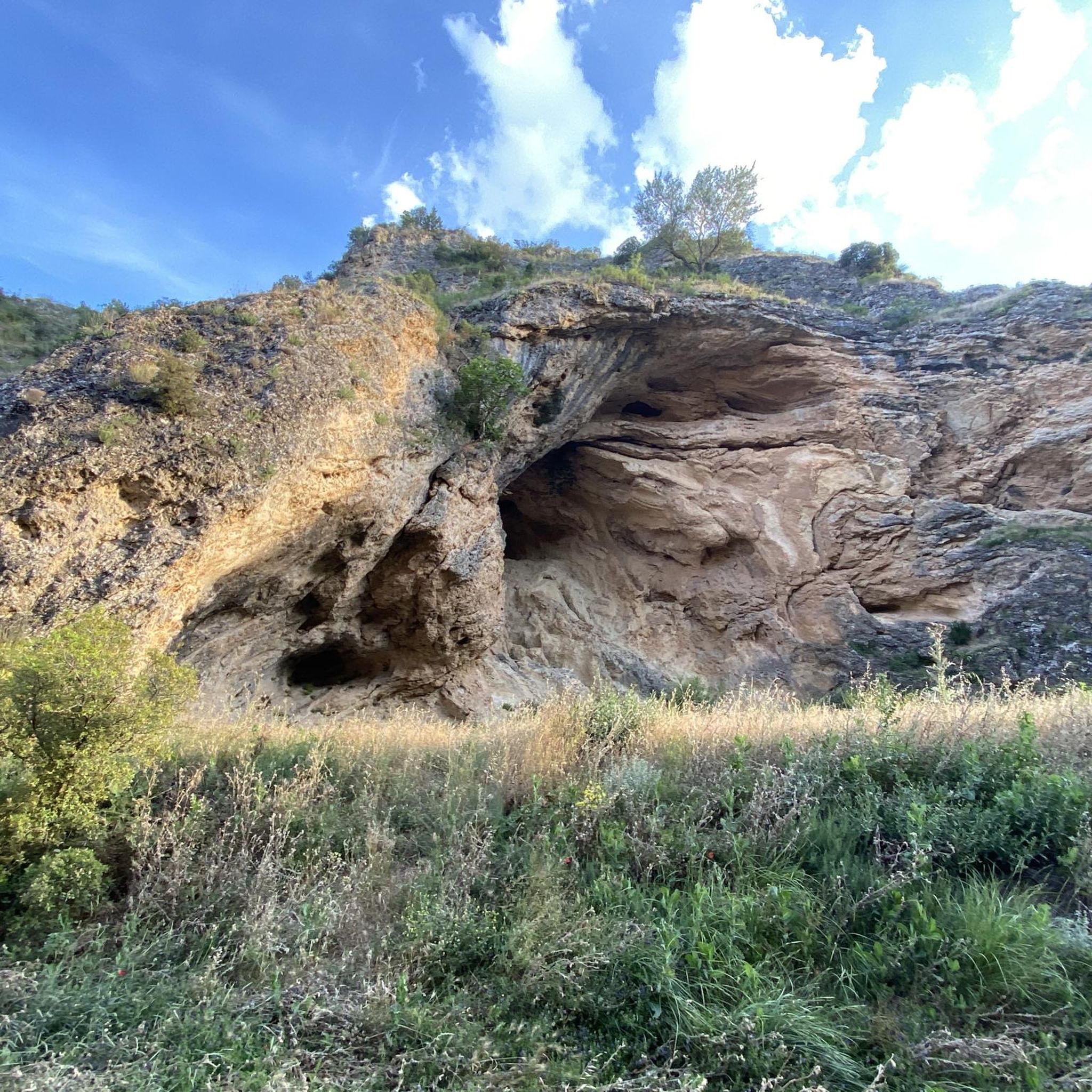
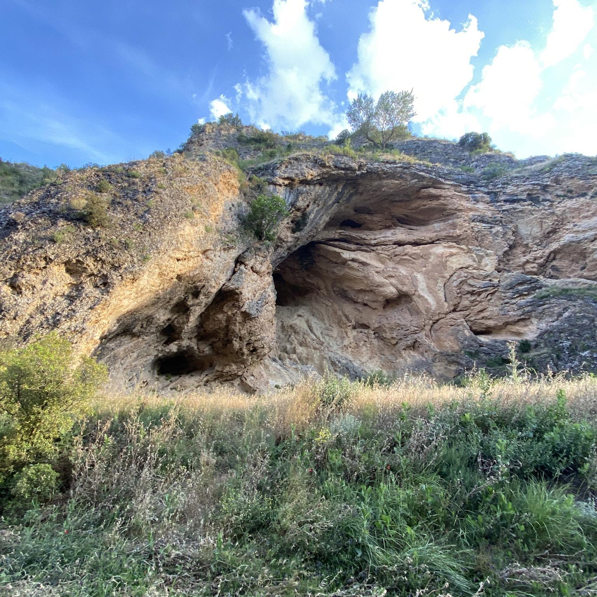
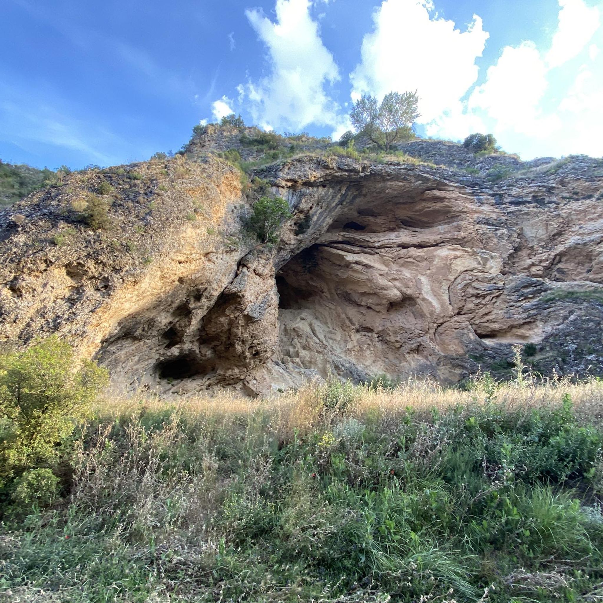
Absolutely. The landscape around Barajas De Melo features interesting natural monuments. You could explore areas like the Alcarrias of the Tajo: Gypsum, Marl, and Esparto, or discover the El Hoyo Redondo Sinkhole. There's also the intriguing Cueva de la Sima for those interested in caves.
What is the best time of year for gravel biking in Barajas De Melo?
Spring and autumn generally offer the most pleasant conditions for gravel biking in Castilla-La Mancha, with milder temperatures and less extreme weather. Summers can be very hot, and winters can be chilly, though the firm terrain often remains rideable year-round.
How do the gravel biking routes in Barajas De Melo compare to those near Tarancón?
Barajas De Melo's routes share similar characteristics with those around Tarancón, often featuring open plains and agricultural tracks. Many routes, like the Tarancón Fountain – Tarancón loop from Estación de Tarancón, start or pass through Tarancón, highlighting the interconnectedness of the region's gravel network. Both areas offer a mix of moderate to difficult trails through similar landscapes.
Are there options for shorter gravel bike rides?
Yes, while some routes are longer, you can find shorter loops. For instance, the Gravel loop from Estación de Tarancón is 35.0 km, which can be completed in just over 3 hours, making it a good option for a half-day ride.
What do other gravel bikers say about the trails in Barajas De Melo?
Over 30 gravel bikers have explored the varied terrain around Barajas De Melo using komoot. They often appreciate the open countryside, the mix of agricultural tracks, and the opportunity to discover small towns and historical sites along the way.
Most popular routes around Barajas De Melo
Most popular attractions around Barajas De Melo

Get inspired with the komoot mobile app


