The best gravel rides around Aberin
4.8
(7)
490
riders
61
rides
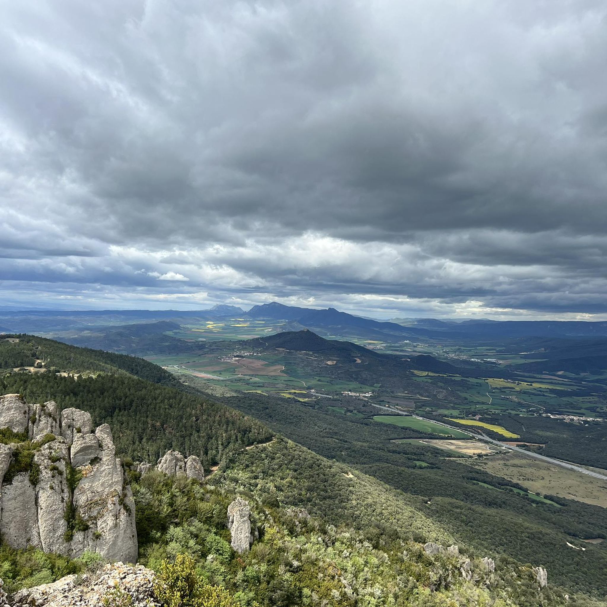
Gravel biking around Aberin features a landscape characterized by rolling hills and established paths, including sections of the historic Camino de Santiago. The region offers varied terrain with significant elevation changes, suitable for experienced riders. Riders can expect a mix of unpaved roads and trails that traverse rural areas and connect local towns. The area's topography provides opportunities for challenging climbs and extended rides through diverse natural settings.
Best gravel bike trails around Aberin
- The most popular gravel bike trail…
Last updated: July 8, 2026
5.0
(1)
115
riders
90.7km
07:50
1,550m
1,550m
Hard gravel ride. Very good fitness required. Mostly paved surfaces. Suitable for all skill levels.
5.0
(1)
42
riders
86.0km
07:06
1,600m
1,600m
Hard gravel ride. Very good fitness required. Mostly paved surfaces. Suitable for all skill levels.

Sign up for free
5.0
(1)
53
riders
48.0km
03:40
920m
920m
Hard gravel ride. Very good fitness required. Mostly paved surfaces. Suitable for all skill levels.
52
riders
97.6km
07:11
1,590m
1,590m
Hard gravel ride. Very good fitness required. Mostly paved surfaces. Suitable for all skill levels.
29
riders
83.4km
06:30
1,230m
1,230m
Hard gravel ride. Very good fitness required. Mostly paved surfaces. Suitable for all skill levels.
Get access to more routes and recommendations from other explorers.
Sign up for free
Already have an account?
Our route recommendations are based on thousands of hikes, rides, and runs completed by other people on komoot.
Start today with a free account
Your next adventure awaits.
Login or Signup
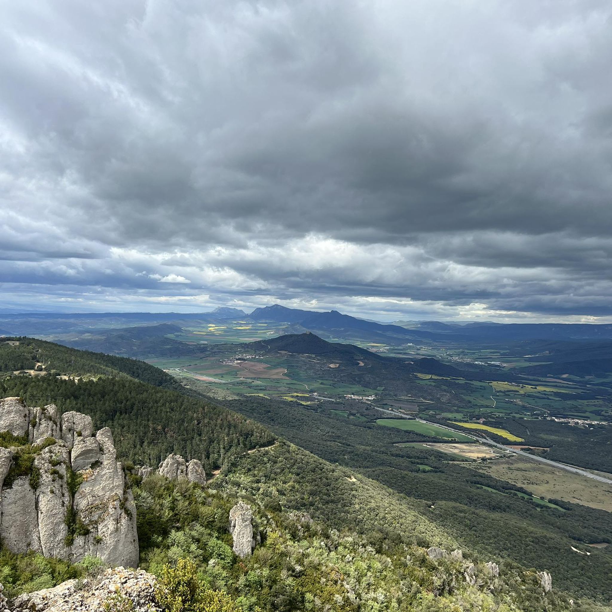
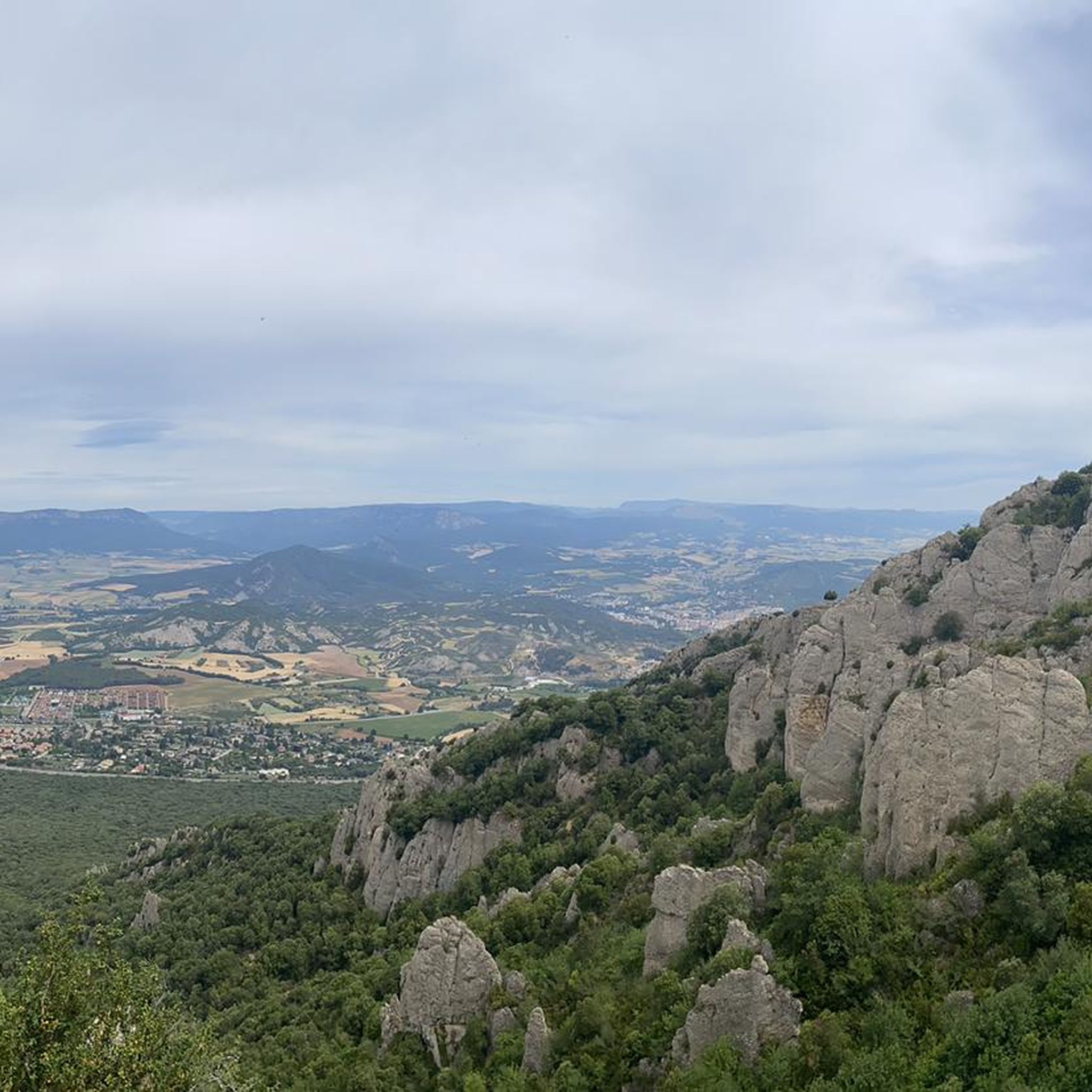
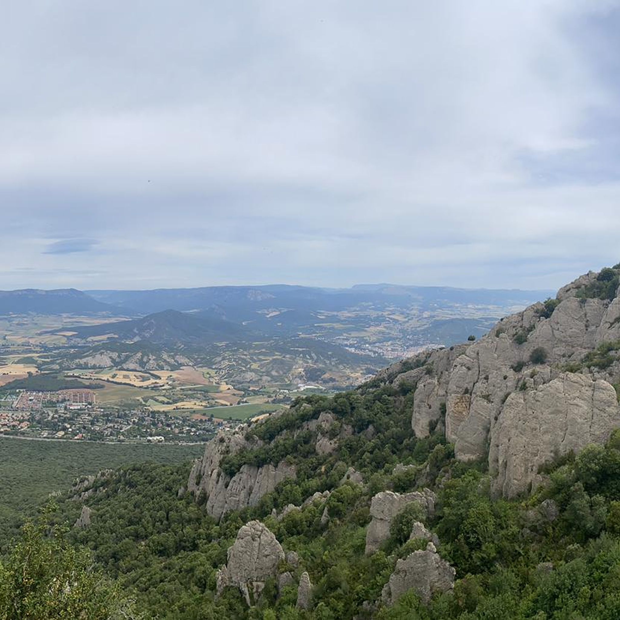
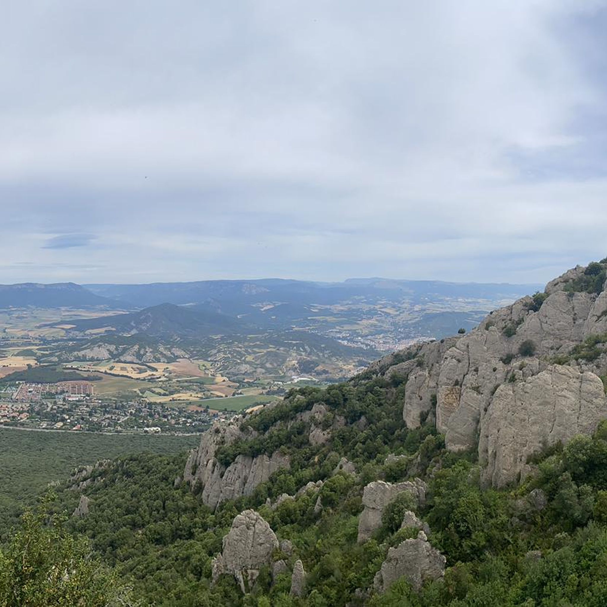
Tips from the Community

Start and finish of the best gravel test in the state: TIERRA ESTELLA EPIC GRAVEL
2
0
concrete climb of 19 percent at its steepest point.
2
0

Impressive. A road that surely comes from Salinas de Oro and reaches the city of Andelos. Next to it there is a small rest area with tables and some shade.
1
0

Interesting resting point in this town.
0
1

On the Roman road, in the vicinity of Zirauki.
2
0
Small council belonging to the municipality of Gesalatz with a pediment that occupies part of the road. Demonstration that it does not have much traffic.
0
0
Near this point there are some wooden tables (without shade) in case you want to make a short stop.
0
0
Small port overlooking the Alloz reservoir. The road surface is not in perfect condition and the bike "grips" quite a bit. It barely has any traffic.
1
0
Frequently Asked Questions
What is the overall difficulty level of gravel biking trails in Aberin?
Gravel biking around Aberin is primarily suited for experienced riders, with the majority of routes classified as difficult. The terrain features significant elevation changes and rolling hills, often traversing sections of the historic Camino de Santiago. There are 26 difficult routes and 16 moderate routes available, but no easy routes.
Are there any family-friendly gravel biking options in Aberin?
The gravel biking trails in Aberin are generally challenging, characterized by significant elevation changes and longer distances. There are no routes specifically classified as 'easy' in the area, making them less suitable for families with young children or beginners looking for a relaxed ride.
What kind of terrain can I expect on Aberin's gravel bike trails?
You can expect a varied landscape of rolling hills and established paths, including historical sections of the Camino de Santiago. The routes feature a mix of unpaved roads and trails that traverse rural areas, offering challenging climbs and extended rides through diverse natural settings.
Are there any circular gravel routes available in Aberin?
Yes, many of the gravel routes in Aberin are designed as loops. For example, the challenging Ermita de San Miguel – Camino de Santiago loop from Villatuerta covers 91.6 km, and the Camino de Santiago – Camping Aritzaleku loop from Villatuerta is a 95.2 km ride with significant climbs.
What are some notable landmarks or attractions along the gravel routes?
Many routes incorporate historical elements of the Camino de Santiago. You can also find interesting points of interest nearby, such as the Irache Fountain and the Wine Fountain at Bodegas Irache. The town of Estella-Lizarra, with its Iglesia de San Pedro de la Rúa, is also a significant point of interest in the region.
What do other gravel bikers say about the trails in Aberin?
The gravel biking routes in Aberin are highly rated by the komoot community, with an average score of 4.5 stars from 4 reviews. Riders often praise the challenging nature of the routes, the historical significance of the Camino de Santiago sections, and the diverse natural settings.
Are there any viewpoints or scenic spots on the gravel trails?
Given the region's rolling hills and varied terrain, many routes offer scenic views. The Detrás del Monte Trail – View of Ázqueta loop from Villatuerta is specifically highlighted for its views. Additionally, nearby peaks like Montejurra and San Millán summit provide elevated perspectives of the landscape.
What is the typical duration for a gravel bike ride in Aberin?
The duration of rides in Aberin varies significantly depending on the route's length and elevation. Many of the challenging routes are long, with some taking over 7 hours to complete, such as the Ermita de San Miguel – Camino de Santiago loop (around 7 hours 52 minutes) or the Camino de Santiago – Camping Aritzaleku loop (approximately 8 hours 20 minutes).
Are there any shorter, less demanding gravel routes for those new to the area?
While most routes are classified as difficult, there are some shorter options that might be considered less demanding for experienced riders. For instance, the Camino de Santiago – Church of San Salvador loop from Villatuerta is 47.8 km and typically takes around 3 hours 41 minutes, offering a taste of the region's gravel without the full commitment of the longest tours.
When is the best time of year for gravel biking in Aberin?
The region's climate generally allows for gravel biking through much of the year. However, spring and autumn often provide the most pleasant conditions with milder temperatures and less extreme weather, ideal for tackling the significant elevation changes. Summers can be hot, and winters may bring colder temperatures and potentially wet conditions on unpaved trails.
Are there opportunities to explore historical sites or towns directly from the trails?
Yes, many gravel routes in Aberin are intertwined with historical paths, most notably sections of the Camino de Santiago. The Estella-Lizarra – Camino de Santiago loop from Estella-Lizarra, for example, starts and ends in the historic town of Estella-Lizarra, allowing for exploration of its cultural sites.
Most popular attractions around Aberin

Get inspired with the komoot mobile app


Explore more
Browse the best Gravel rides in other regions.
