The best gravel rides around Ayódar
4.7
(4)
53
riders
5
rides
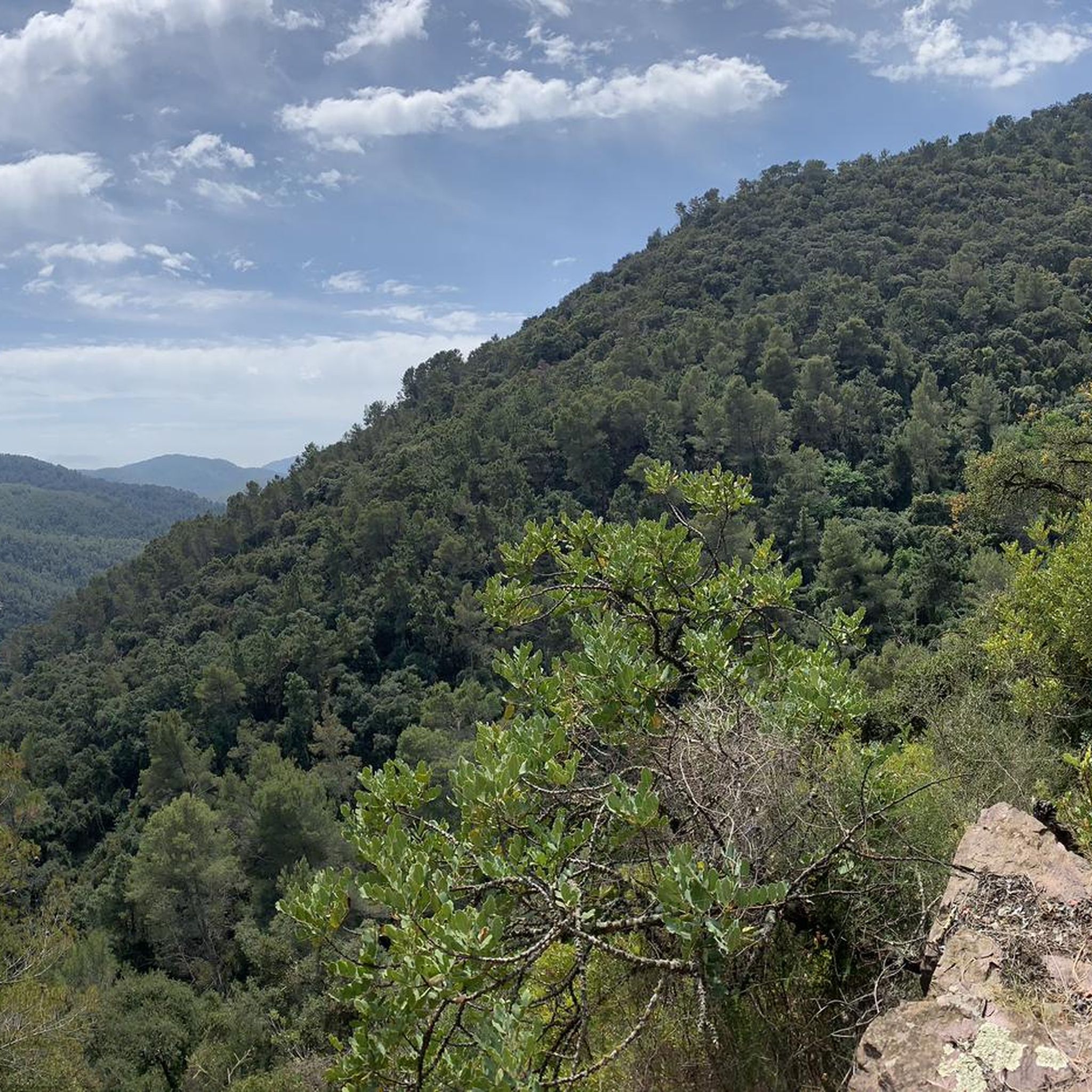
Gravel biking around Ayódar offers a diverse landscape characterized by hilly terrain, including mountain passes and valleys. The region features a mix of natural paths, such as those near reservoirs and through rocky formations, alongside converted railway lines like the Ojos Negros Greenway. These varied surfaces provide a range of experiences for gravel bikers.
Best gravel bike trails around Ayódar
- The most popular gravel bike trail is Ojos Negros Greenway – Albentosa Picnic Area loop from Algimia de Almonacid,…
Last updated: July 8, 2026
5.0
(2)
38
riders
120km
07:55
1,420m
1,420m
Hard gravel ride. Very good fitness required. Mostly paved surfaces. Suitable for all skill levels.
5.0
(1)
6
riders
44.5km
03:16
1,000m
1,000m
Hard gravel ride. Very good fitness required. Mostly paved surfaces. Suitable for all skill levels.

Sign up for free
3
riders
78.3km
06:05
2,090m
2,090m
Hard gravel ride. Very good fitness required. Mostly paved surfaces. Suitable for all skill levels.
4
riders
24.6km
01:39
310m
310m
Moderate gravel ride. Good fitness required. Mostly paved surfaces. Suitable for all skill levels.
4.0
(1)
1
riders
21.1km
02:03
780m
770m
Hard gravel ride. Very good fitness required. Mostly paved surfaces. Suitable for all skill levels.
Our route recommendations are based on thousands of hikes, rides, and runs completed by other people on komoot.
Start today with a free account
Your next adventure awaits.
Login or Signup
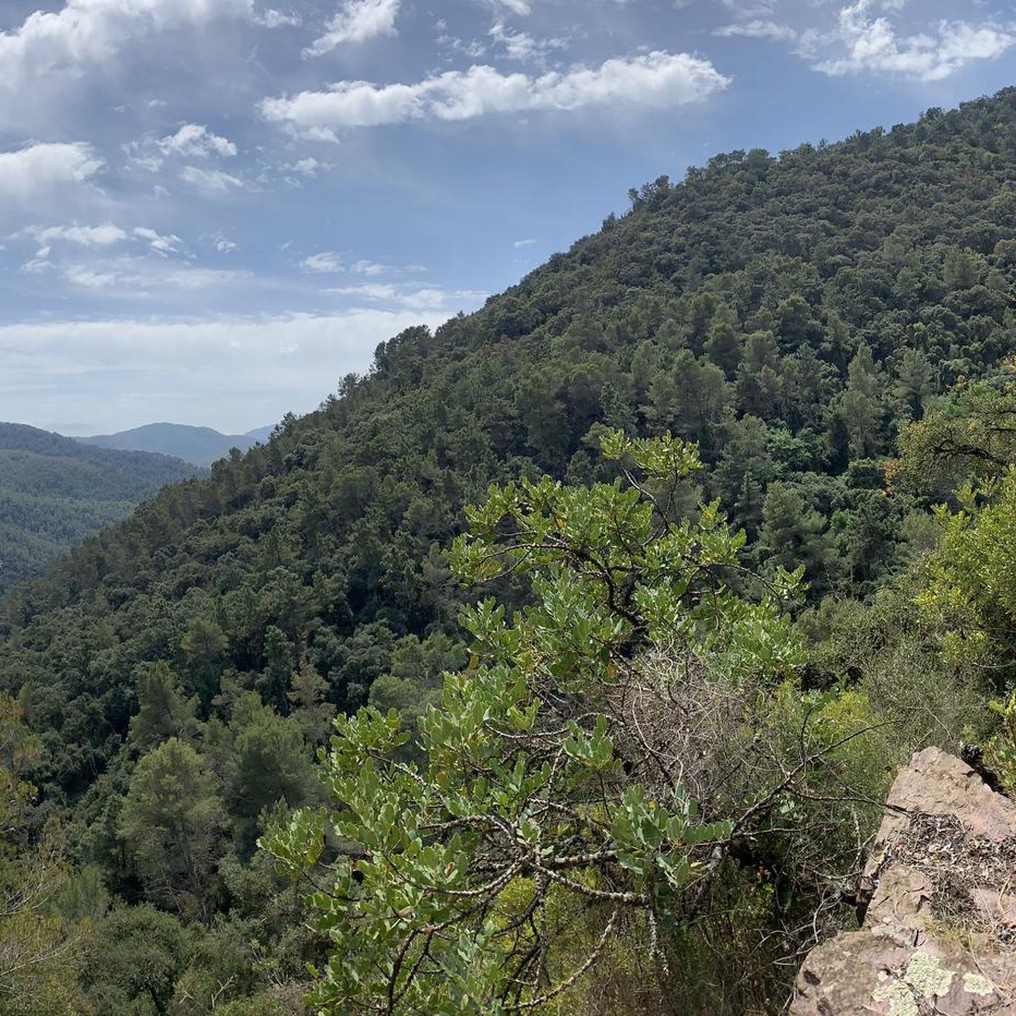
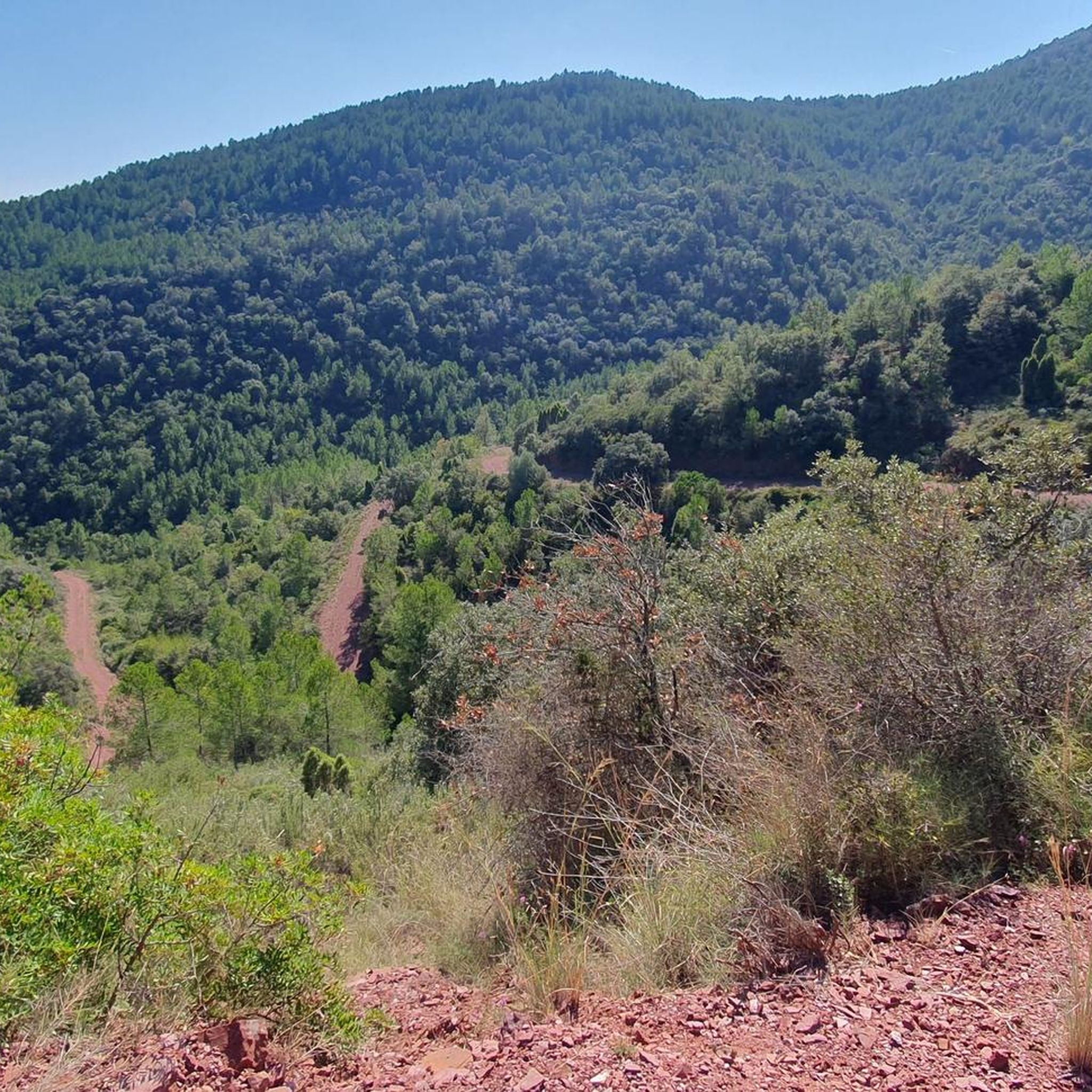
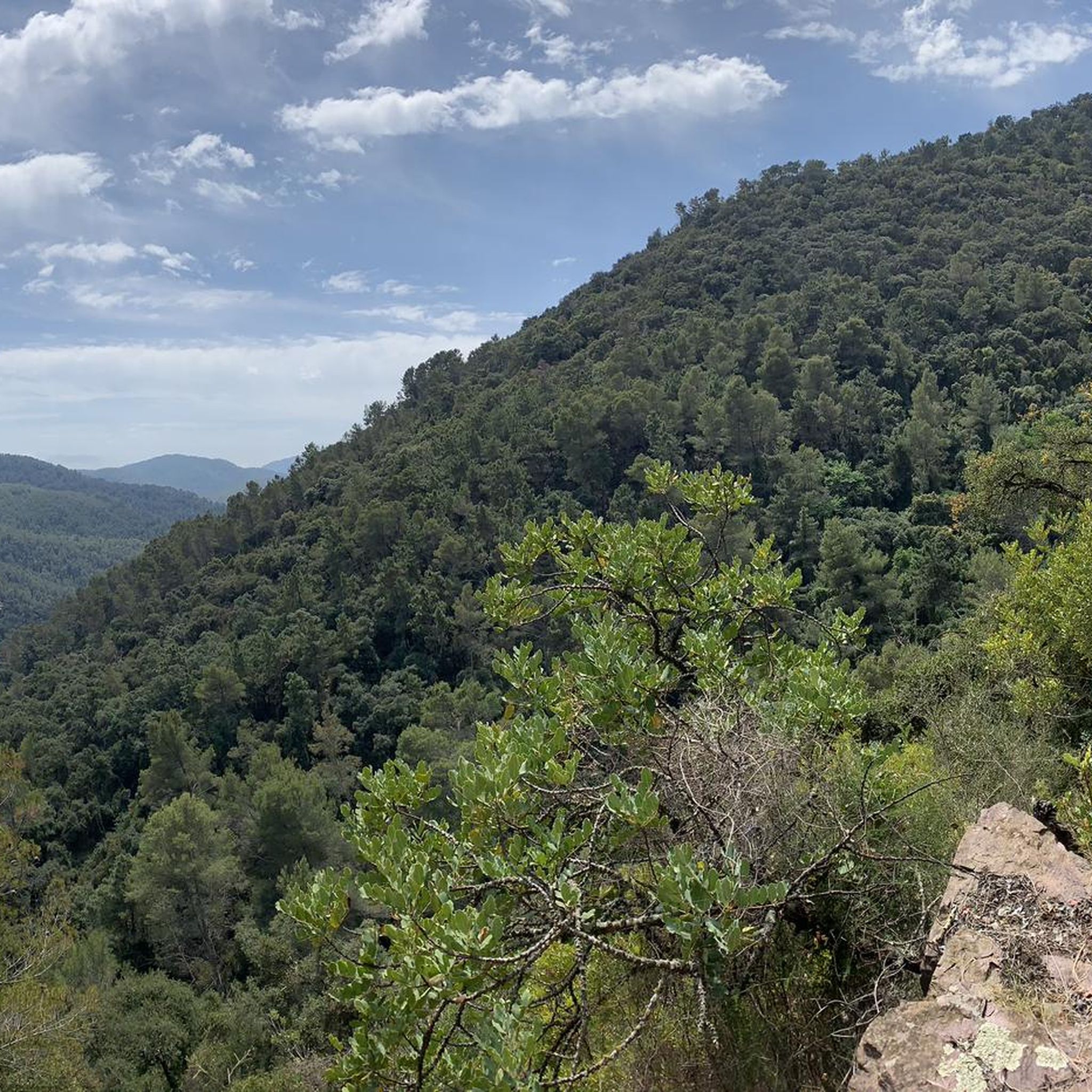
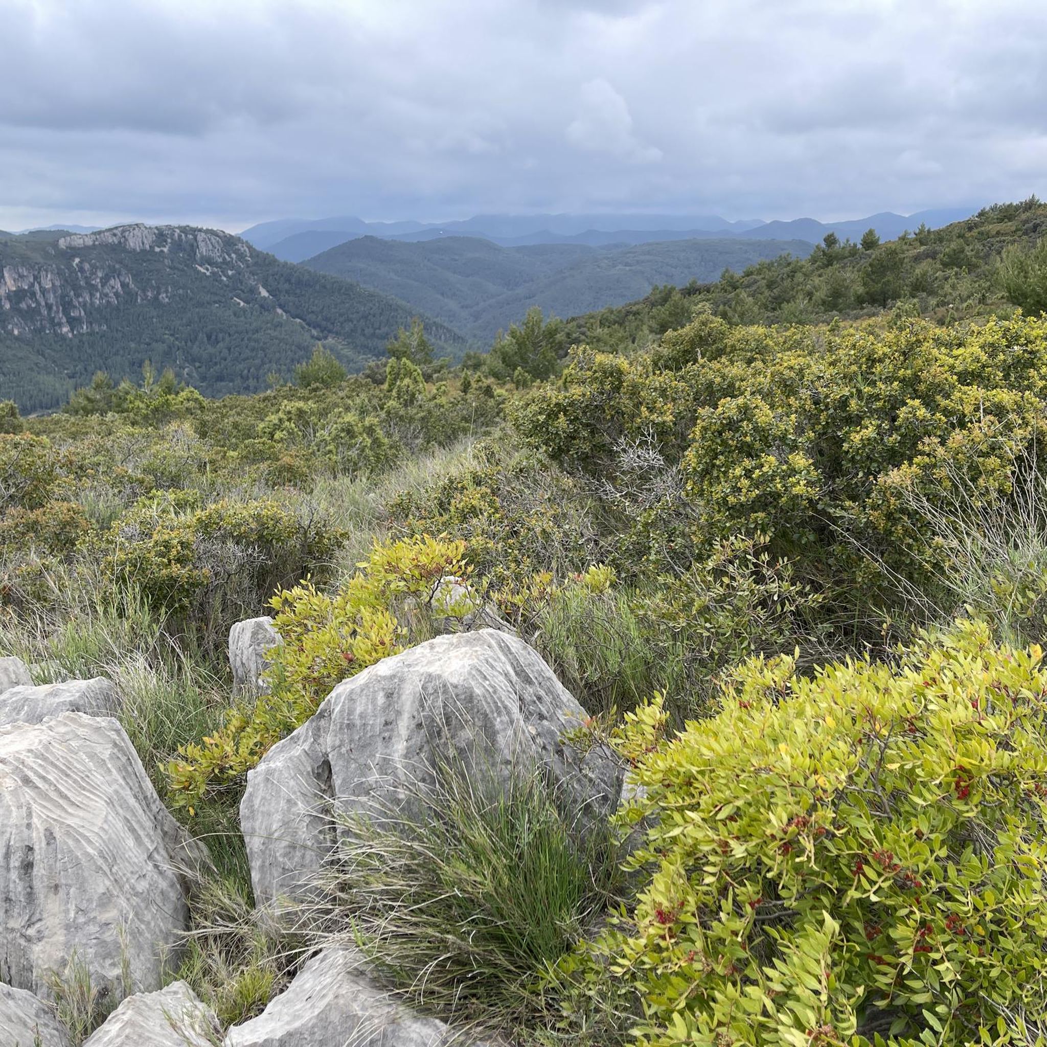
Tips from the Community

The track is very good
0
0

Almedíxer is located in the heart of the Sierra de Espadán and was occupied by the Republican army under the command of General Leopoldo Menéndez. The XYZ line (or Matallana line) crossed it, and several historical vestiges remain of it. This XYZ line was made up of a network of trenches and shelters dug to take advantage of the rough terrain of the hills located to the north and northeast of Valencia, which made it difficult to destroy them only by means of air attacks. Given the danger of bombers, frequent during the time of the confrontation between the two armies around the XYZ line, shelters were built where the inhabitants of Almedíjar could hide from the presence of the "Pava", the sound of which alerted the population and preceded the dropping of bombs. The "Pava" was the name by which the Heinkel He 46 combat aircraft, a German monoplane that participated in the bombings carried out during the Civil War, was popularly known. Today, a large part of the defensive constructions of the Civil War, such as parapets or observation points, are preserved. Among these, the shelters of Castillet, Mosquera and Canyar stand out. This last shelter has the typical structure of this type of war construction, since it had three entrances, a corridor that connected them and a rectangular room where people sat down to wait for the bombing to end. Currently, only one entrance and the room where people waited for the bombing to end are preserved.
1
0
In the center of Almedíxer we steal the church and a door from the old palace of the Count of Puñonrotro and which serves as a border between it and the Muslim area that occupied the central nucleus of the town, from the northern area of the Plaza de l'Església to the Plaza del Rosario, the end point of the old Roman decumanus that reaches the houses on Moreral Street. This part forms a parallelogram of houses connected to each other by an interior courtyard.
1
0
Well preserved section of the old Roman road.
1
0

Be careful, in 2025 the train track is under construction and the Green Way is closed from here to Torás.
1
0
There are four routes across this viaduct: the green route, two that cross underneath and reach Masadas Blancas and Pico del Aguila, and a third to the right that goes to Más de Noguera.
0
0

very fun and entertaining route 💯 x 💯 recommended
1
0

Frequently Asked Questions
How many gravel bike trails are available around Ayódar?
There are 7 gravel bike trails around Ayódar, offering a range of experiences from moderate to difficult. These routes navigate through diverse landscapes, including mountain passes, greenways, and rocky formations.
What is the general difficulty level of gravel biking in Ayódar?
Gravel biking in Ayódar is generally suited for moderate to difficult ability levels. Most of the 7 routes are considered difficult, with one moderate option available for those looking for a slightly less challenging ride.
Are there any beginner-friendly gravel bike trails in Ayódar?
While most routes in Ayódar are rated difficult, there is one moderate trail that might be suitable for experienced beginners or those looking for a less strenuous ride. Consider the Betxí Pass – Peñas Aragonesas loop from Onda, which is 15.3 miles (24.6 km) long and navigates through varied terrain.
What kind of terrain can I expect on gravel bike routes in Ayódar?
The terrain around Ayódar is diverse, characterized by hilly landscapes, mountain passes, and valleys. You'll encounter a mix of natural paths, including those near reservoirs and through rocky formations, as well as converted railway lines like the Ojos Negros Greenway.
What are some notable natural attractions or viewpoints along the gravel routes?
The region offers several natural highlights. You might encounter the unique rock formations of Órganos de Benitandús or the scenic Salto de la Novia of Cirat waterfall. Many routes also feature panoramic views from mountain passes.
Are there any historical sites or castles to explore near the gravel trails?
Yes, the Ayódar area is rich in history. You can find several castles and historical sites, such as Onda Castle or the historical site of Jinquer. These often provide interesting stops along or near the routes.
What do other gravel bikers enjoy the most about gravel biking in Ayódar?
The komoot community highly rates the gravel biking experience in Ayódar, with an average score of 5.0 stars. Riders often praise the diverse terrain, the challenge of the mountain passes, and the scenic beauty of the natural paths and greenways.
Which is the longest gravel bike route in the Ayódar area?
The longest gravel bike route available is the Ojos Negros Greenway – Albentosa Picnic Area loop from Algimia de Almonacid. This challenging trail spans 74.2 miles (119.4 km) and follows a historic greenway, offering a long-distance gravel experience.
Are there any routes that pass through scenic villages?
Yes, the Coll d’Aín – Aín Village loop from Tales is a great option. This 48.8 miles (78.6 km) trail leads through mountain passes and scenic villages, offering a blend of natural beauty and cultural exploration.
What is the best season for gravel biking in Ayódar?
While specific weather conditions can vary, the Mediterranean climate of the region generally makes spring and autumn ideal for gravel biking, offering milder temperatures and pleasant conditions. Summers can be hot, and winters might bring cooler, potentially wetter weather, especially at higher elevations.
Are there any routes that feature reservoirs?
Yes, the Jinquer – Benitandús Reservoir loop from Onda is a challenging 27.6 miles (44.5 km) route that takes you past the Benitandús Reservoir, offering scenic views of the water and surrounding landscape.
Is there a route that specifically focuses on mountain passes?
The Aín Village – Coll d’Aín loop from Onda is a challenging 24 miles (38.7 km) route that features the Coll d’Aín, providing a good test of climbing ability and rewarding views from the passes.
Most popular attractions around Ayódar

Get inspired with the komoot mobile app


Explore more
Browse the best Gravel rides in other regions.
