The best gravel rides around Mawsley
5.0
(4)
54
riders
11
rides
Gravel biking around Mawsley offers routes through North Northamptonshire's varied landscape, characterized by rolling hills, open countryside, and tranquil reservoirs. The terrain includes both paved roads and unpaved paths, suitable for off-road cycling. Riders can explore pockets of woodland and utilize dismantled railway paths, which often provide traffic-free routes. The area features a network of bridleways and paths conducive to gravel biking.
Best gravel bike trails around Mawsley
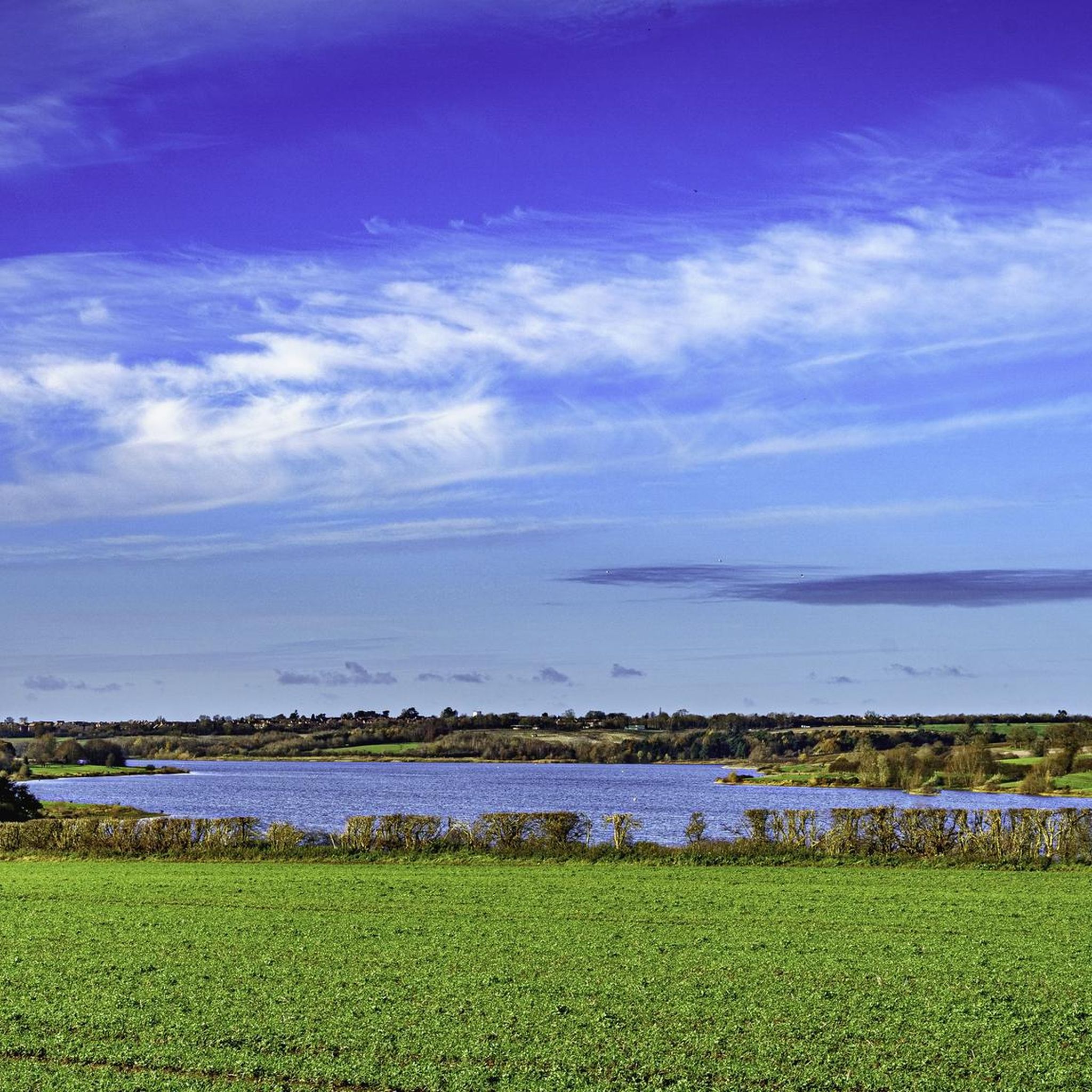
- The most popular gravel bike trail is View of Pitsford Water –…
Last updated: July 3, 2026
8
riders
42.6km
02:33
310m
310m
Moderate gravel ride. Good fitness required. Mostly paved surfaces. Suitable for all skill levels.
5.0
(2)
5
riders
26.8km
01:28
220m
220m
Moderate gravel ride. Good fitness required. Mostly paved surfaces. Suitable for all skill levels.

Sign up for free
5.0
(1)
5
riders
Moderate gravel ride. Good fitness required. Mostly paved surfaces. Suitable for all skill levels.
2
riders
48.3km
03:10
350m
350m
Moderate gravel ride. Good fitness required. Mostly paved surfaces. Suitable for all skill levels.
4
riders
41.8km
02:12
250m
250m
Moderate gravel ride. Good fitness required. Mostly paved surfaces. Suitable for all skill levels.
Get access to more routes and recommendations from other explorers.
Sign up for free
Already have an account?
Our route recommendations are based on thousands of hikes, rides, and runs completed by other people on komoot.
Start today with a free account
Your next adventure awaits.
Login or Signup

Tips from the Community


The Brampton Valley Way is a 14-mile (22 km) traffic-free trail between Northampton and Market Harborough, following a disused railway line. It’s popular with cyclists, walkers, and horse riders thanks to its mostly flat, scenic route through countryside and woodland. Two long, unlit tunnels at Kelmarsh and Oxendon add an adventurous twist – lights are essential. The surface is a mix of gravel and dirt, best suited to hybrid or mountain bikes.
0
0


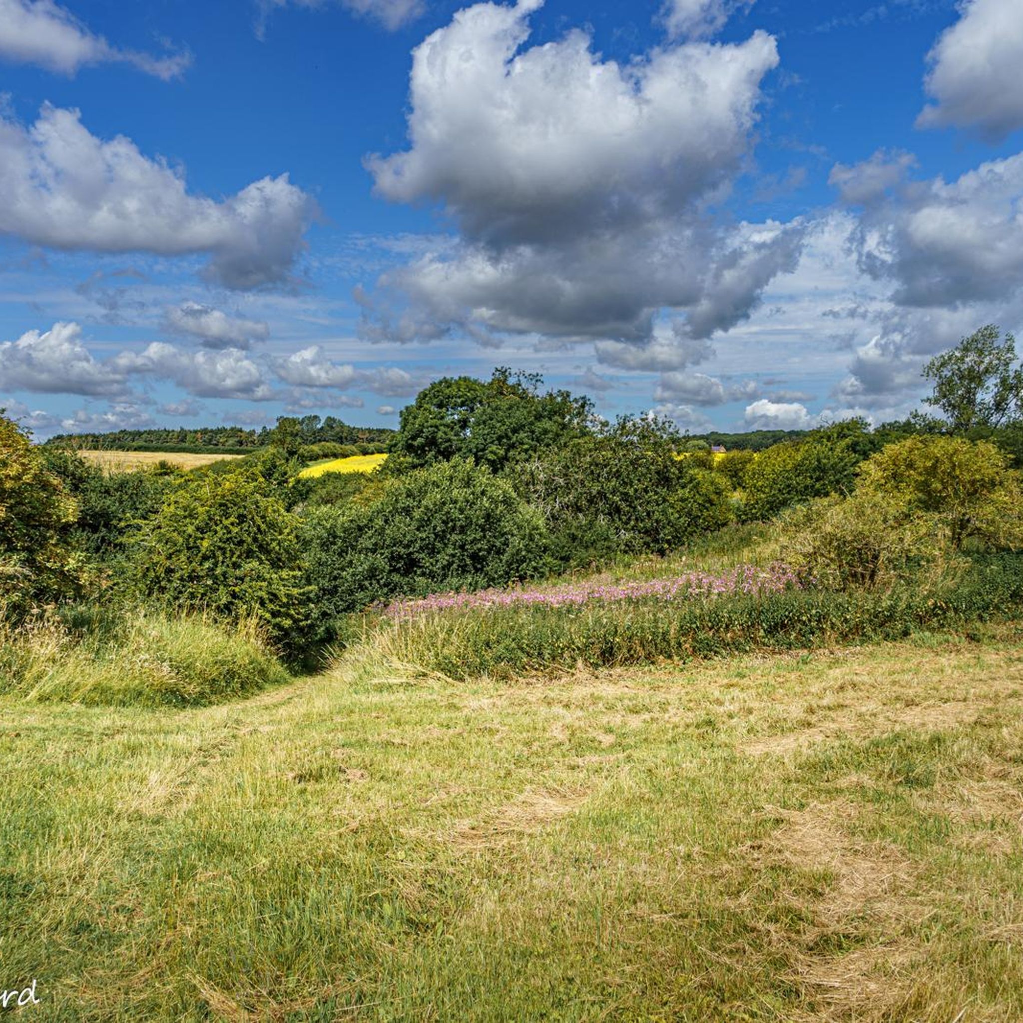
This climb is a leg-burner, perfect for a serious workout. In reverse, it’s a scenic, enjoyable downhill, offering sweeping views of the countryside - so a rewarding ride in either direction.
2
0


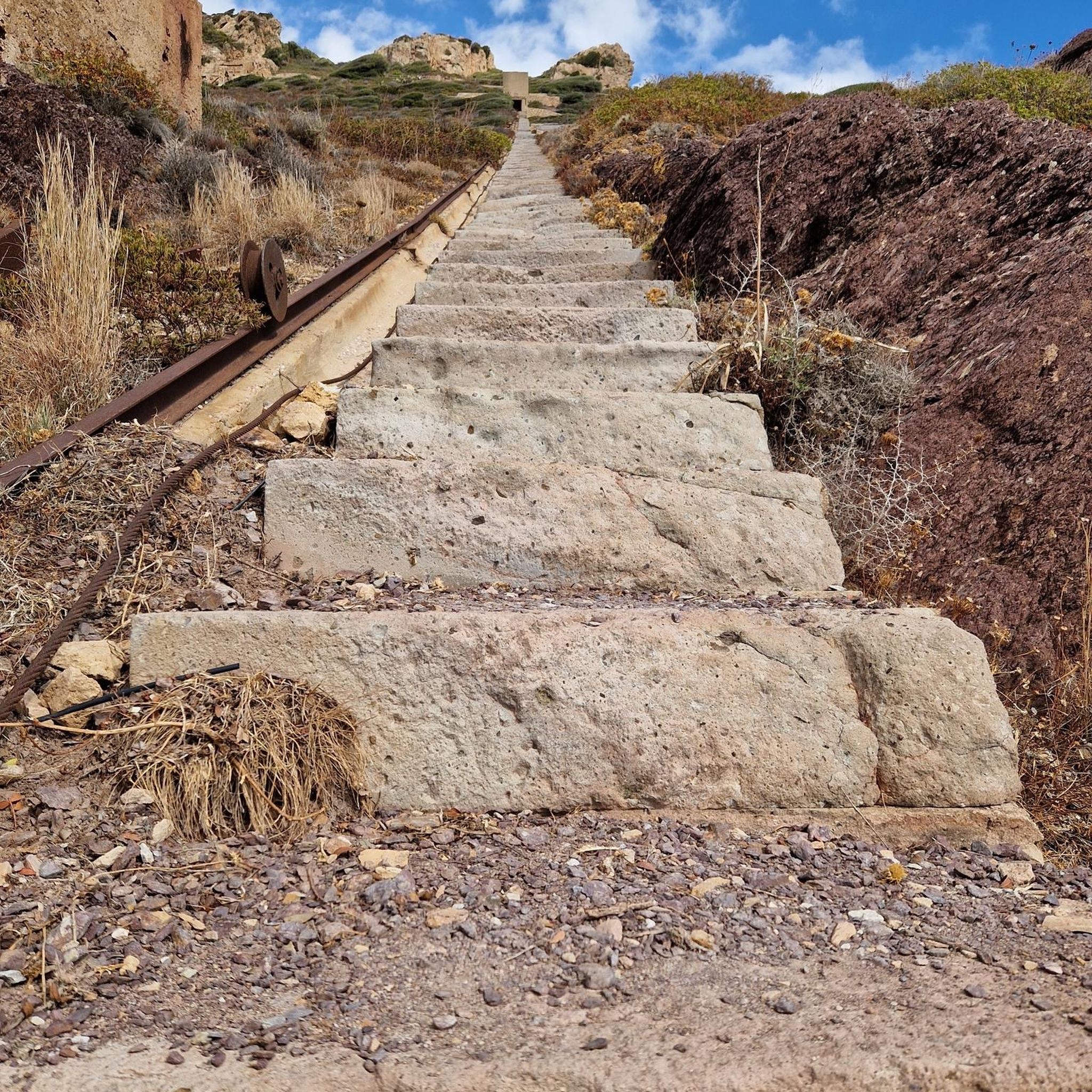
There are not steps in the bridge so you can't walk up to the top unfortunately.
0
0
Frequently Asked Questions
How many gravel bike trails are available around Mawsley?
There are over 10 gravel bike trails in the Mawsley area, offering a variety of routes through North Northamptonshire's landscape. Most of these routes are considered moderate in difficulty.
What kind of terrain can I expect on gravel bike routes near Mawsley?
Gravel biking around Mawsley features a diverse landscape of rolling hills, open countryside, and tranquil reservoirs like Cransley Reservoir. You'll also find pockets of woodland and sections of dismantled railway paths, which often provide traffic-free riding. The village's name, 'Mawsley,' even hints at its 'Gravel ridge wood/clearing' composition.
Are there any family-friendly gravel biking routes in Mawsley?
While most routes are moderate, the presence of dismantled railway paths offers relatively flat and traffic-free sections that can be suitable for families. These paths provide a gentler experience away from roads. Consider routes that incorporate these features for a more relaxed ride.
What are some notable natural features or landmarks to see along the gravel trails?
Many routes incorporate scenic natural features. You can enjoy picturesque views around Pitsford Water and explore areas near the Kelmarsh Tunnels, which are part of a former railway line. The region's woodlands and the tranquil Cransley Reservoir also add to the scenic beauty.
Are there any circular gravel bike routes available?
Yes, many of the gravel routes around Mawsley are designed as loops. For example, the Kelmarsh Tunnels – Great Oxendon Tunnel loop from Harrington is a moderate 26.79 km circular route that takes you through varied terrain.
What is the difficulty level of gravel biking in Mawsley?
The majority of gravel bike routes in Mawsley are classified as moderate. This means they offer a good balance of challenge and accessibility, suitable for riders with some experience. There are also a couple of easier routes available for those looking for a less strenuous ride.
What do other gravel bikers say about the trails in Mawsley?
The gravel biking experience in Mawsley is highly rated by the komoot community, with an average score of 5.0 stars. Riders often appreciate the varied terrain, including rolling hills, open countryside, and the peaceful sections along dismantled railway paths and reservoirs.
Are there any routes that offer views of reservoirs or water bodies?
Absolutely. Several routes provide stunning views of local reservoirs. The View of Pitsford Water – View of Pitsford Reservoir loop from Kelmarsh is a popular moderate route specifically known for its waterside vistas.
Can I find routes that utilize former railway lines?
Yes, the Mawsley area is known for incorporating dismantled railway paths into its gravel routes. These former railway lines, such as those near the Great Oxendon Tunnel and Kelmarsh Tunnels, offer relatively flat, traffic-free sections ideal for gravel biking.
What is the typical length of gravel bike routes in this area?
The gravel bike routes around Mawsley vary in length, with many falling into the moderate category. You can find routes ranging from approximately 26 km, like the Haselbech Climb – View from Haselbech Hill loop from Mercedes AMG High Performance Powertrains, up to around 44 km.
Are there any routes that pass through woodlands or forested areas?
Yes, the region around Mawsley includes pockets of woodland and spinneys, such as Ragsdale Spinney and the Mawsley Woodland Trail. While specific routes through these exact woods aren't detailed, the general terrain incorporates these natural features, offering shaded sections and a different riding experience.
Is parking available near the gravel bike trails in Mawsley?
While specific parking locations for each trail are not detailed here, Mawsley and nearby villages typically offer public parking options. It's advisable to check local amenities or the starting points of specific routes for designated parking areas before your ride.
Most popular routes around Mawsley
Most popular attractions around Mawsley

Get inspired with the komoot mobile app


Explore more
Browse the best Gravel rides in other regions.
