The best gravel rides around Hillesley And Tresham
4.5
(8)
30
riders
5
rides
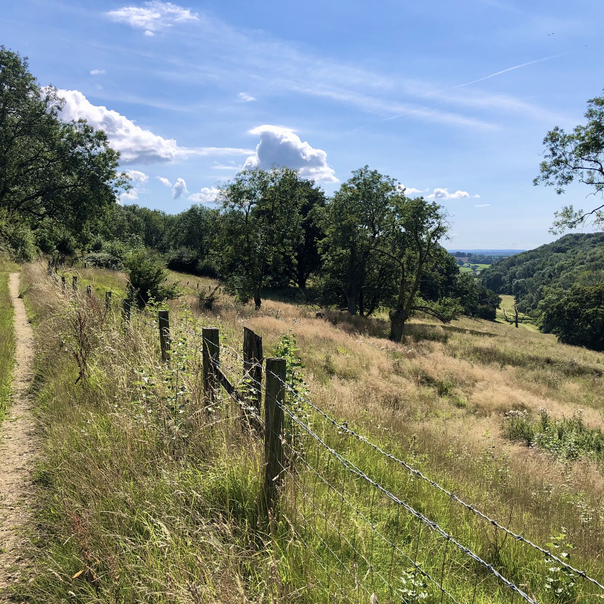
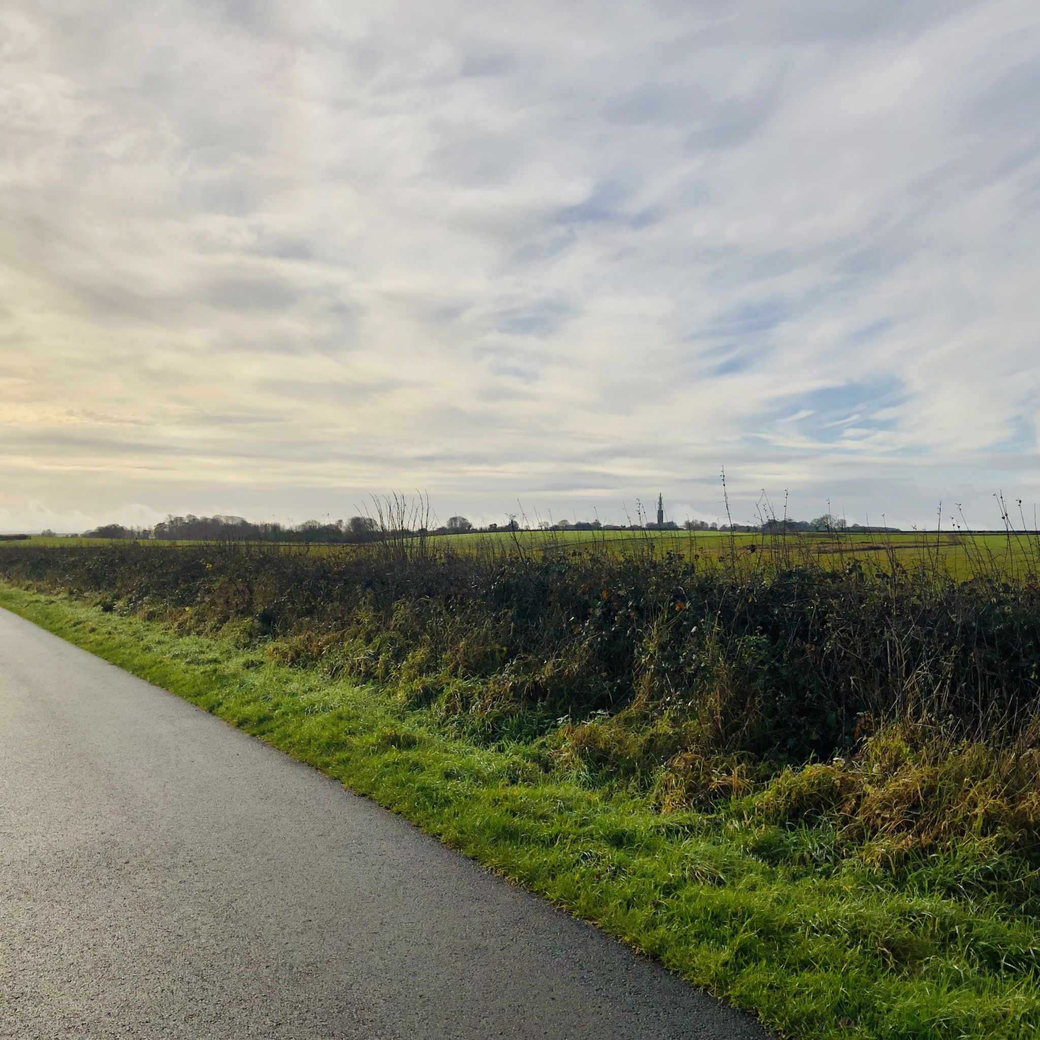
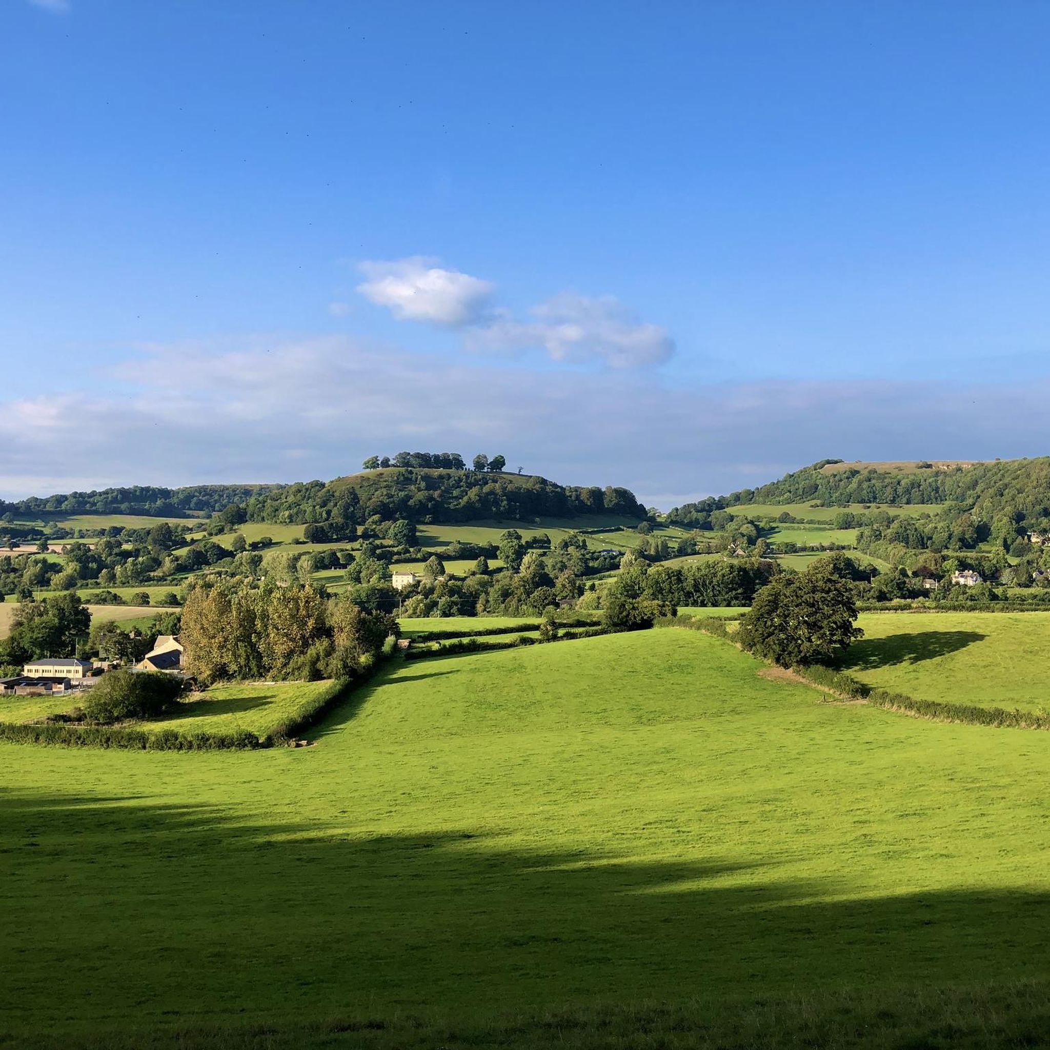
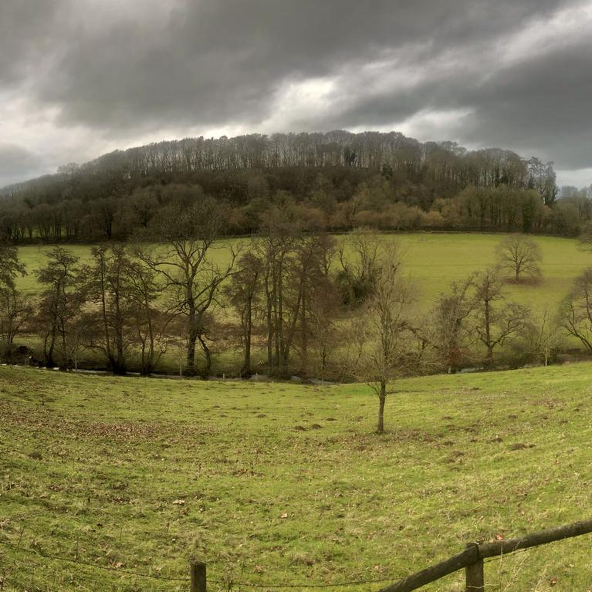
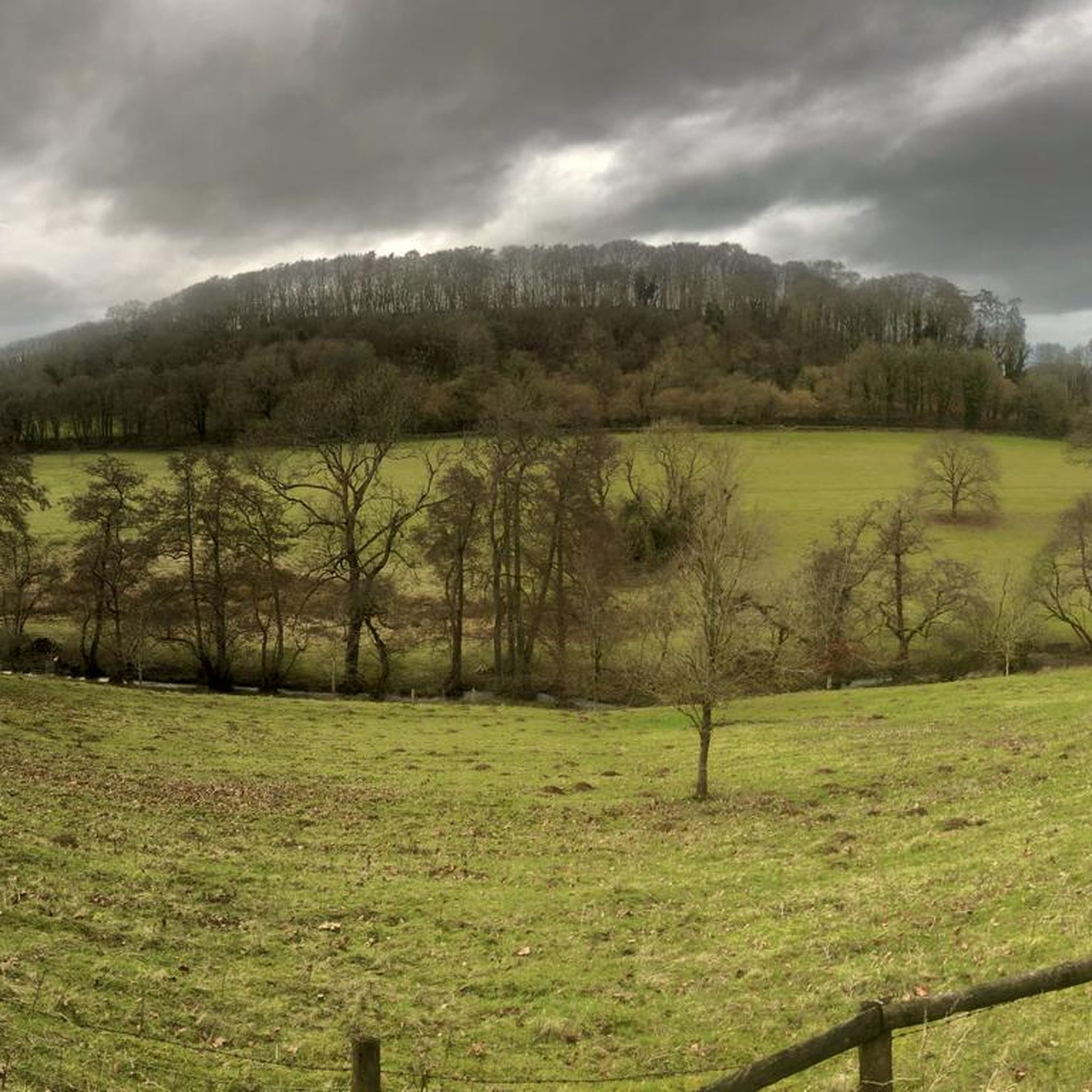
Gravel biking around Hillesley And Tresham features routes that traverse a landscape characterized by rolling hills, open common land, and historic tracks. The area includes sections of the Fosse Way, an ancient Roman road, offering varied surfaces for gravel cyclists. Elevation changes are moderate, with routes often connecting villages and rural estates. The terrain provides a mix of open views and sheltered sections along bridleways.
Best gravel bike trails around Hillesley And Tresham
- The most popular gravel bike trail is…
Last updated: July 3, 2026
5.0
(2)
5
riders
26.7km
01:54
150m
150m
Easy gravel ride. Great for any fitness level. Mostly paved surfaces. Suitable for all skill levels.
3.0
(2)
8
riders
47.3km
03:01
310m
310m
Moderate gravel ride. Good fitness required. Mostly paved surfaces. Suitable for all skill levels.

Sign up for free
4.5
(2)
7
riders
26.6km
01:42
170m
170m
Moderate gravel ride. Good fitness required. Mostly paved surfaces. Suitable for all skill levels.
5.0
(1)
4
riders
29.4km
01:59
350m
350m
Moderate gravel ride. Good fitness required. Mostly paved surfaces. Suitable for all skill levels.
5.0
(1)
7
riders
39.0km
02:20
360m
360m
Moderate gravel ride. Good fitness required. Mostly paved surfaces. Suitable for all skill levels.
Our route recommendations are based on thousands of hikes, rides, and runs completed by other people on komoot.
Start today with a free account
Your next adventure awaits.
Login or Signup
Tips from the Community

Great test on the bike but can be busy with traffic. A good road surface means it’s also fun to descend!
0
0

lovely cycle and a little treat at @henrys coffee shop to finish
0
0

This is a fast rolling cross country route with some great ancient track and gravel segments with the option to detour onto some single track around the route.
0
0


Love this climb. It twists and turns like a twisty-turny thing.
0
0

Lovely cafe serving excellent coffee, cakes and sausage rolls
1
0
Frequently Asked Questions
How many gravel bike trails are available around Hillesley And Tresham?
There are over 5 gravel bike routes documented on komoot for the Hillesley And Tresham area, offering a variety of experiences across rolling hills and historic tracks.
Are there easy gravel bike trails suitable for beginners in Hillesley And Tresham?
Yes, there are easy routes perfect for beginners. For instance, The Fosseway and Malmesbury Common loop from Sherston is an easy 16.6-mile (26.7 km) trail that includes sections of the historic Fosse Way and open common land, making it a great starting point.
Are there challenging gravel routes for experienced riders in this region?
Yes, for more experienced riders seeking a challenge, routes like the Hidden Valley, Cotswolds – Ozleworth Estate Bridleway loop from Wotton-under-Edge offer a more difficult experience. This route covers 39.4 miles (63.4 km) with significant elevation changes, providing a rewarding ride through varied terrain.
What are the typical durations for gravel bike rides in Hillesley And Tresham?
Gravel bike rides in the area typically range from under 2 hours for shorter, easier loops to over 2.5 hours for longer, more challenging routes. For example, the Fosse Way Gravel Section – Castle Combe Village loop from Tetbury is a moderate 29.4-mile (47.3 km) path that takes approximately 3 hours to complete.
Are most gravel bike routes in Hillesley And Tresham circular?
Many of the gravel bike routes in Hillesley And Tresham are designed as loops, allowing you to start and finish at the same point. This includes popular options like the Minchinhampton Village – Aston Down Airfield loop from Nailsworth, which is a 18.3-mile (29.4 km) circular trail.
What kind of terrain can I expect on gravel bike trails around Hillesley And Tresham?
The terrain is characterized by rolling hills, open common land, and historic tracks, including sections of the ancient Roman Fosse Way. You'll encounter varied surfaces, from gravel paths to rural bridleways, with moderate elevation changes and a mix of open views and sheltered sections.
Are there any interesting landmarks or viewpoints along the gravel bike routes?
Yes, the area offers several points of interest. You might encounter historical sites like the Uley Bury Iron Age Hill Fort or the Nympsfield Long Barrow. For scenic views, consider routes that pass near View of the Severn Vale from Coaley Peak or Jubilee Clump Viewpoint.
What do other gravel bikers enjoy most about gravel biking in Hillesley And Tresham?
The area is highly rated by the komoot community, with an average score of 4.5 stars. Reviewers often praise the unique blend of historic Roman roads, open common land, and rural bridleways, as well as the picturesque villages encountered along the routes.
When is the best time of year for gravel biking in Hillesley And Tresham?
The rolling hills and varied terrain of Hillesley And Tresham are generally enjoyable throughout the spring, summer, and autumn months. The moderate elevation changes make it accessible, but checking local weather conditions is always recommended, especially after heavy rain which can affect bridleway surfaces.
Are there gravel routes that include pub stops or places to refuel?
While specific pub stops are not detailed for every route, many trails connect villages and rural areas where you can often find local pubs or cafes. The Warmley Waiting Room Cafe – Gravel Trail to Westerleigh loop from Yate, for example, suggests a cafe in its name, indicating opportunities for refreshment along the way.
Is public transport available to access gravel bike trails in Hillesley And Tresham?
Access to specific trailheads by public transport can vary. While some larger towns nearby may have bus services, many of the gravel routes start from smaller villages or rural locations. It's advisable to check local bus schedules for the specific starting point of your chosen route.
Where can I find parking for gravel bike trails in Hillesley And Tresham?
Parking is typically available in the villages where many of the routes begin, such as Sherston, Tetbury, Nailsworth, or Yate. Look for public car parks or designated roadside parking areas, being mindful of local regulations and residents.
Most popular routes around Hillesley And Tresham
Most popular attractions around Hillesley And Tresham

Get inspired with the komoot mobile app


Explore more
Browse the best Gravel rides in other regions.
