The best gravel rides around Steeple With Tyneham
4.0
(7)
56
riders
9
rides
Gravel biking around Steeple With Tyneham offers a diverse landscape for riders. The region features a mix of coastal paths, rolling hills, and river valleys, providing varied terrain for gravel cyclists. Routes often traverse areas with views of the sea, pass through woodlands, and follow river courses. The elevation changes are moderate to challenging, catering to different fitness levels.
Best gravel bike trails around Steeple With Tyneham
- The most popular gravel bike trail is Wareham Quay – Sika Trail loop…
Last updated: July 3, 2026
3.0
(1)
5
riders
81.6km
05:44
780m
780m
Hard gravel ride. Very good fitness required. Mostly paved surfaces. Suitable for all skill levels.
4.5
(2)
16
riders
54.9km
03:27
400m
400m
Moderate gravel ride. Good fitness required. Mostly paved surfaces. Suitable for all skill levels.

Sign up for free
4.0
(1)
13
riders
Hard gravel ride. Good fitness required. You may need to push your bike for some segments of this route.
4.5
(2)
11
riders
29.3km
01:50
180m
180m
Moderate gravel ride. Good fitness required. Mostly paved surfaces. Suitable for all skill levels.
4
riders
60.1km
03:52
520m
520m
Hard gravel ride. Very good fitness required. Mostly paved surfaces. Suitable for all skill levels.
Get access to more routes and recommendations from other explorers.
Sign up for free
Already have an account?
Our route recommendations are based on thousands of hikes, rides, and runs completed by other people on komoot.
Start today with a free account
Your next adventure awaits.
Login or Signup
Tips from the Community

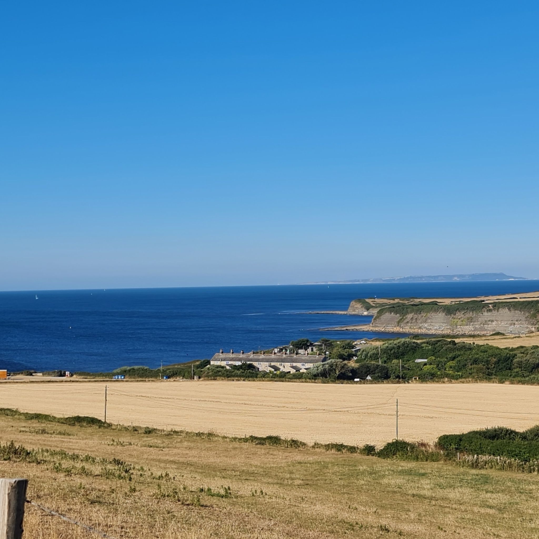
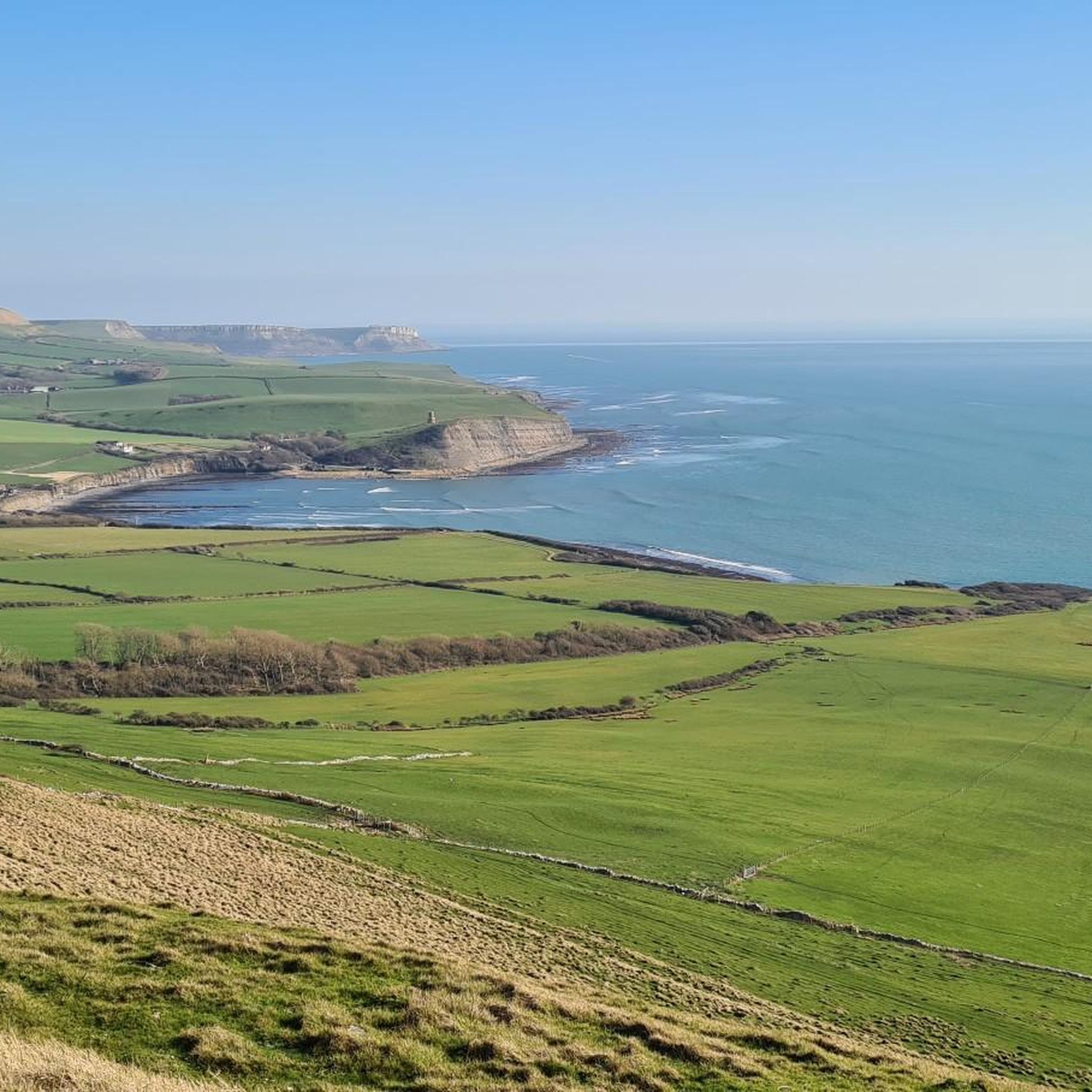
Perched on the Purbeck Ridgeway, the Swanage Obelisk is a quirky Victorian monument built over a prehistoric burial mound! Stolen from London in 1892 to celebrate fresh water, it was hidden in WWII to confuse enemy planes. Careening down the steep ridge path offers breathtaking, wind-in-your-face Jurassic Coast views
0
0
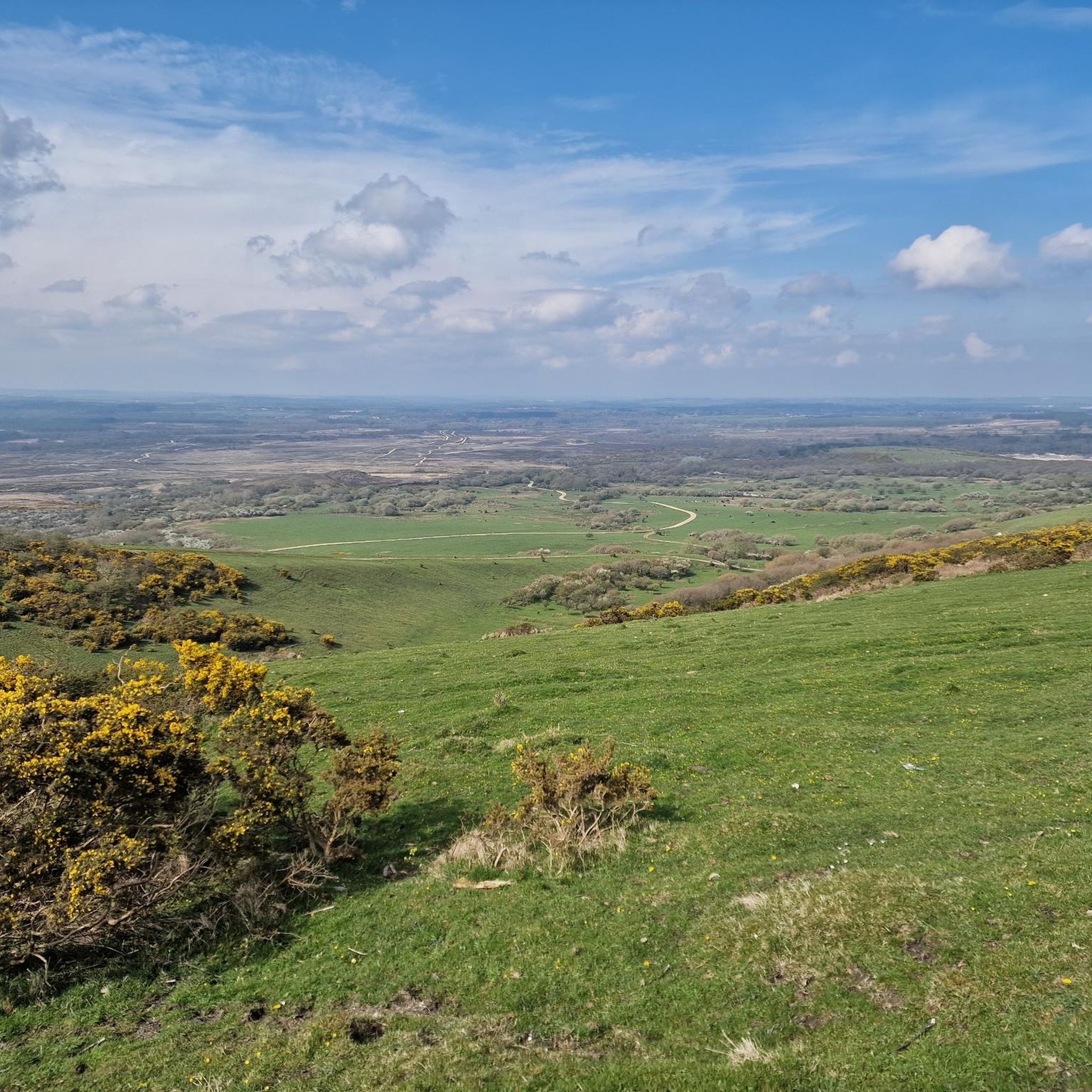
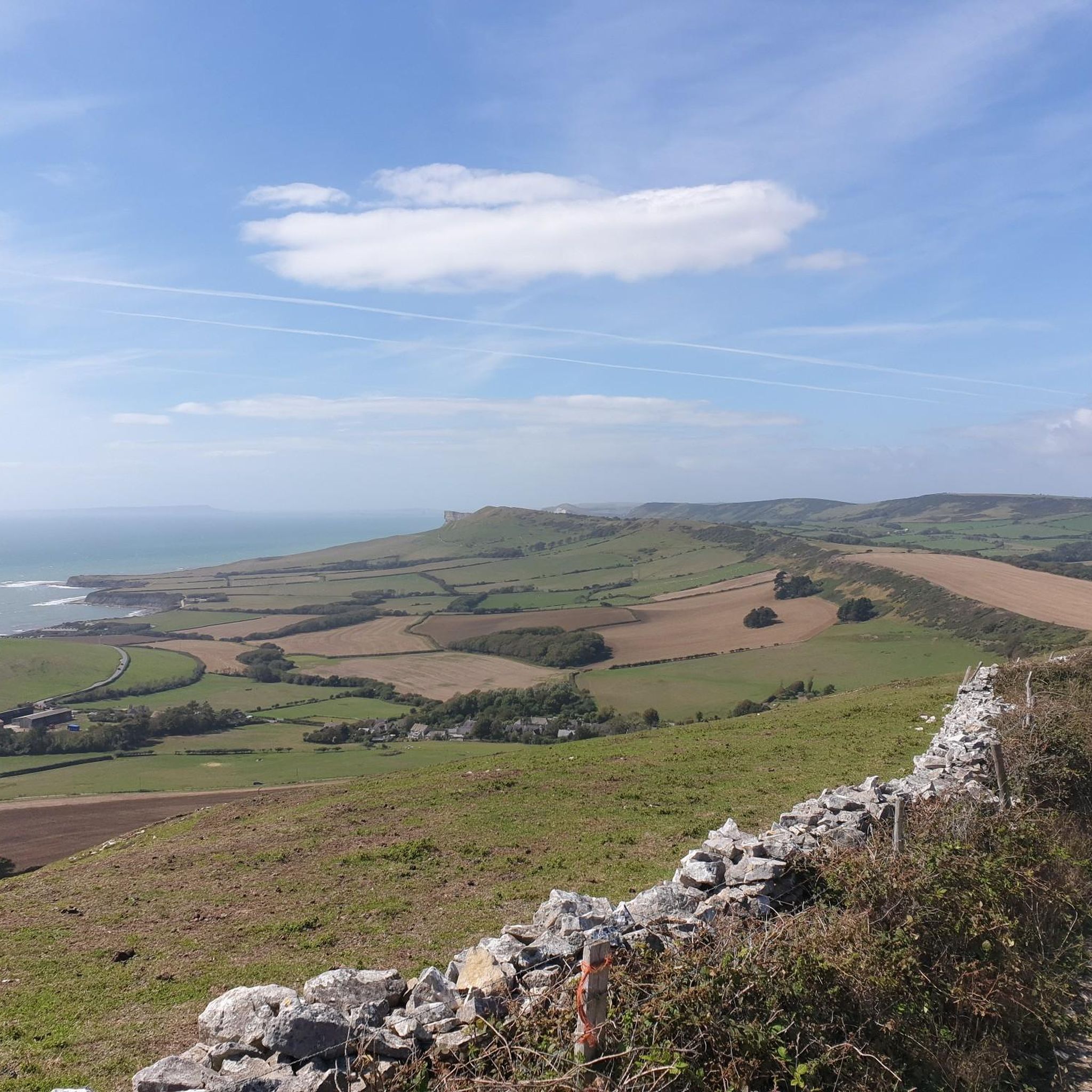
If you’re looking for the ultimate "take a breath and just look" spot in Dorset, the ridge of Studland Hill (part of the Purbeck Hills) is hard to beat. It’s one of those views that makes you want to sit on a patch of grass and stay for an hour. As you look south toward Swanage, the town unfolds like a classic British seaside postcard. It’s tucked neatly into a limestone bowl, with the red-tiled roofs and Victorian stone buildings clustering around the curve of the bay. On a clear day, the English Channel is a deep, shifting blue, and the white chalk cliffs of Ballard Down act like a massive natural wall separating you from the town.
0
0

top of the downs, Poole on one side, Swanage on the other
0
0
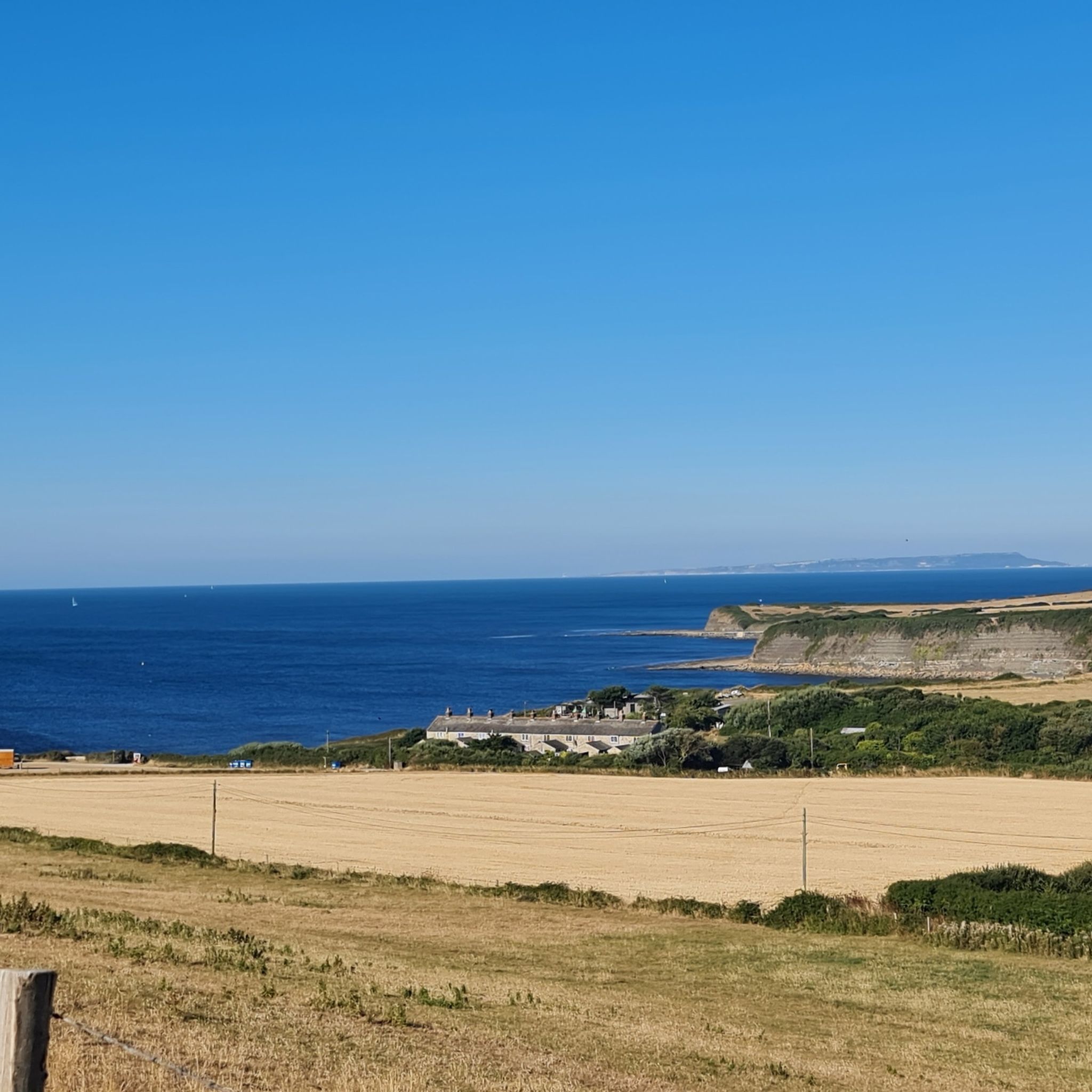
Studland Bay features well-maintained gravel paths winding through the Godlingston Heath and dunes. These accessible trails offer stunning coastal views and link the beaches, providing a stable, year-round surface for walkers and cyclists.
0
0
The North Dorset Trailway Connection Today, Spetisbury Station is a popular access point for the North Dorset Trailway. Trailhead: The section of the Trailway running from Spetisbury north to Sturminster Newton, largely following the old railway bed, is a well-maintained, traffic-free path for walking, cycling, and riding. Visitor Stop: The former station site makes a perfect place to stop, rest, and picnic while exploring the Trailway, offering fine views over the Stour Valley. It's a wonderful example of local history being preserved and repurposed for community and recreation!
0
0
The Spetisbury Station Project Unlike the bridge at Blandford, which remains a preserved structure, the Spetisbury station site is being actively restored by volunteers. The Project: The Spetisbury Station Project Group was formed in 2012 by dedicated volunteers to clear and preserve the abandoned site. What You Can See: While the original station buildings were demolished shortly after the 1956 closure, the project has cleared the site to reveal the foundations of the station buildings, the booking office, and the signal box. Ambience: The site is now a peaceful, landscaped green space featuring picnic areas, benches, and information boards. Volunteers have added replica signage and restored the platforms to recreate the atmosphere of the former country station. Wildlife Haven: The site is also managed to be a haven for local wildlife, with features like a wildlife pond, bat boxes, and specific flower borders.
0
0
The Railway and Closure Original Line: Spetisbury Station was located on the Somerset & Dorset Joint Railway (S&DJR), which connected Bath to Bournemouth. Opening: It originally opened on November 1, 1860, as part of the Dorset Central Railway's line from Wimborne to Blandford. It initially had a single platform. Double Track: Around 1901, the line was doubled through the station, and a second platform and a signal box were added to handle the increased traffic. Downgrade: Like many rural stations seeking to cut costs, it was downgraded to an unstaffed "halt" in 1934. Passenger Closure: The station closed completely to passengers on September 17, 1956, one of the early closures on the S&D line. Line Closure: Although the station itself was closed, the main S&DJR line through the site continued to operate passenger services until the whole route closed in March 1966. Goods traffic ceased in 1969, and the track was lifted in 1970.
0
0
Frequently Asked Questions
How many gravel bike trails are available around Steeple With Tyneham?
There are 11 gravel bike trails available around Steeple With Tyneham. These routes offer a mix of coastal paths, rolling hills, and river valleys, catering to various skill levels.
Are there any easy gravel bike trails suitable for beginners or families?
Yes, there is one easy gravel bike trail, and several moderate options that might be suitable for beginners or families looking for a less strenuous ride. For a moderate option that is shorter and less elevation, consider the Wareham Quay – Sika Trail loop from Wareham, which is 29.4 km long with 174m of elevation gain.
What are some challenging gravel bike routes in the area?
For experienced riders seeking a challenge, Steeple With Tyneham offers several difficult routes. The Sika Trail – View from Bulbarrow Hill loop from Wareham is a demanding 81.4 km path with significant elevation gain, offering expansive views from higher ground. Another difficult option is the View over Swanage and the sea – Old Harry Rocks loop from Langton Matravers, which is 30.8 km and features coastal landscapes.
Are there any circular gravel bike routes around Steeple With Tyneham?
Yes, all the gravel bike routes listed in this guide are circular loops, allowing you to start and finish at the same point. For example, the popular Wareham Quay – Sika Trail loop from Holton Heath is a 54.9 km circular trail combining riverside sections with forest paths.
What kind of views or natural attractions can I expect on these gravel bike trails?
The gravel bike trails in Steeple With Tyneham offer diverse scenery, including coastal views, river valleys, and forested sections. You can encounter stunning natural monuments like Durdle Door and Lulworth Cove. Some routes also provide panoramic viewpoints such as the View from the summit of Swyre Head or the View of Warbarrow Bay and Tyneham Valley from Rings Hill.
Are there any historical sites or landmarks along the routes?
Yes, the region is rich in history. You might pass by historical sites such as Woolsbarrow Hillfort. Additionally, the area features unique geological formations like the Stair Hole rock arches and the Winspit Quarry Caves, offering interesting stops during your ride.
What is the best season for gravel biking in Steeple With Tyneham?
Gravel biking in Steeple With Tyneham is enjoyable throughout much of the year. Spring and autumn offer pleasant temperatures and vibrant landscapes. Summer can be great for coastal rides, but trails might be busier. Winter rides are possible, but be prepared for potentially muddy conditions and shorter daylight hours.
Where can I find parking for gravel biking near Steeple With Tyneham?
Many of the routes start from towns like Wareham, Holton Heath, or Langton Matravers, which typically offer public parking facilities. For instance, routes originating from Wareham Quay or Holton Heath would have parking options nearby. Always check local signage for parking restrictions and fees.
What do other gravel bikers say about the trails in Steeple With Tyneham?
The gravel biking trails in Steeple With Tyneham are highly rated by the komoot community, with an average score of 4.1 stars from over 5 reviews. Riders often praise the varied terrain, from coastal paths to forest trails, and the stunning views, especially those overlooking the sea and valleys.
Are there any routes that follow river valleys?
Yes, several routes incorporate river sections. The Wareham Quay – Sika Trail loop from Holton Heath combines riverside paths with forest trails. Another option is the River Piddle Crossing – Spetisbury Station loop from Wool, which specifically highlights a river crossing and offers a different perspective of the region's waterways.
What should I bring for gravel biking in this region?
Given the varied terrain and potential for coastal exposure, it's advisable to bring appropriate gear. This includes a well-maintained gravel bike, puncture repair kit, sufficient water and snacks, weather-appropriate clothing (layers are recommended), and navigation tools. A helmet is essential for safety.
Most popular routes around Steeple With Tyneham
Most popular attractions around Steeple With Tyneham

Get inspired with the komoot mobile app


Explore more
Browse the best Gravel rides in other regions.
