The best gravel rides around Tollard Royal
22
riders
11
rides
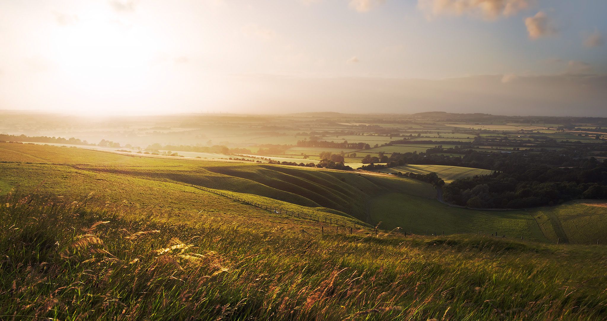
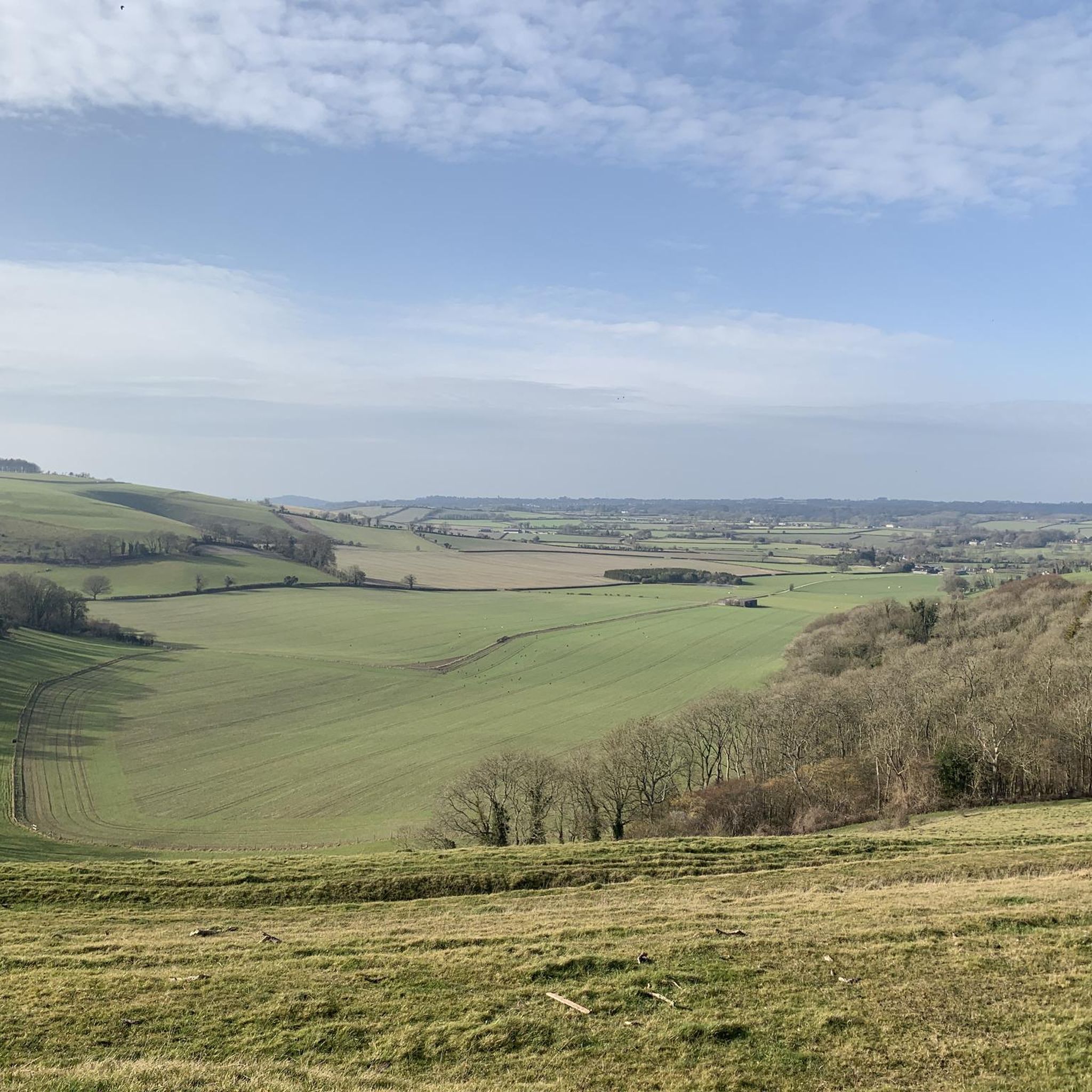
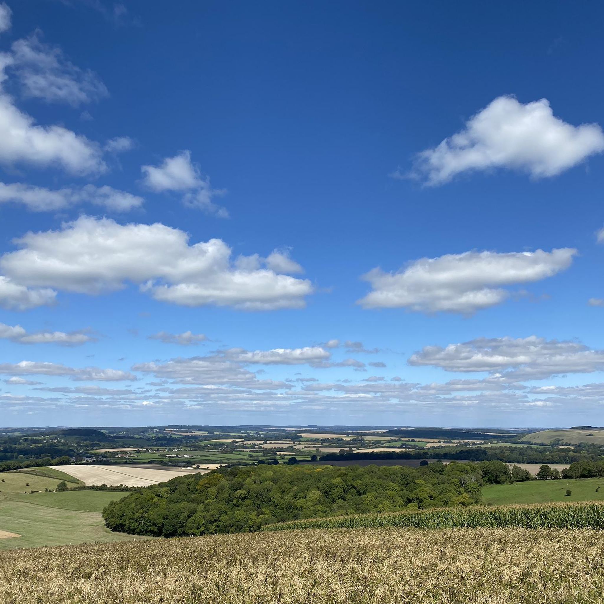
Gravel biking around Tollard Royal offers diverse terrain within the Cranborne Chase Area of Outstanding Natural Beauty. The region features a network of field and woodland paths, bridle paths, and tracks. Cyclists can navigate undulating chalk downland and secluded dry valleys, locally known as 'bottoms'. The landscape is characterized by rolling hills and panoramic vistas, providing varied conditions for gravel cyclists.
Best gravel bike trails around Tollard Royal
- The most popular gravel bike trail is Ox Drove Gravel Road –…
Last updated: July 3, 2026
4
riders
104km
06:53
1,040m
1,040m
Hard gravel ride. Very good fitness required. Mostly paved surfaces. Suitable for all skill levels.
5
riders
Hard gravel ride. Very good fitness required. Mostly paved surfaces. Suitable for all skill levels.

Sign up for free
3
riders
60.5km
03:42
630m
630m
Hard gravel ride. Very good fitness required. Mostly paved surfaces. Suitable for all skill levels.
7
riders
Hard gravel ride. Good fitness required. You may need to push your bike for some segments of this route.
3
riders
31.6km
02:01
280m
280m
Moderate gravel ride. Good fitness required. Mostly paved surfaces. Suitable for all skill levels.
Get access to more routes and recommendations from other explorers.
Sign up for free
Already have an account?
Our route recommendations are based on thousands of hikes, rides, and runs completed by other people on komoot.
Start today with a free account
Your next adventure awaits.
Login or Signup


Other adventures around Tollard Royal

Tips from the Community

Probably the most doable sharp ascent on the Old Chalk Way. Long stretch of byway which trends downhill all the way to Salisbury. Line choice critical though, the speed bumps will definitely slow you down.
0
0

The North Dorset Trailway Connection Today, Spetisbury Station is a popular access point for the North Dorset Trailway. Trailhead: The section of the Trailway running from Spetisbury north to Sturminster Newton, largely following the old railway bed, is a well-maintained, traffic-free path for walking, cycling, and riding. Visitor Stop: The former station site makes a perfect place to stop, rest, and picnic while exploring the Trailway, offering fine views over the Stour Valley. It's a wonderful example of local history being preserved and repurposed for community and recreation!
0
0
The Spetisbury Station Project Unlike the bridge at Blandford, which remains a preserved structure, the Spetisbury station site is being actively restored by volunteers. The Project: The Spetisbury Station Project Group was formed in 2012 by dedicated volunteers to clear and preserve the abandoned site. What You Can See: While the original station buildings were demolished shortly after the 1956 closure, the project has cleared the site to reveal the foundations of the station buildings, the booking office, and the signal box. Ambience: The site is now a peaceful, landscaped green space featuring picnic areas, benches, and information boards. Volunteers have added replica signage and restored the platforms to recreate the atmosphere of the former country station. Wildlife Haven: The site is also managed to be a haven for local wildlife, with features like a wildlife pond, bat boxes, and specific flower borders.
0
0
The Railway and Closure Original Line: Spetisbury Station was located on the Somerset & Dorset Joint Railway (S&DJR), which connected Bath to Bournemouth. Opening: It originally opened on November 1, 1860, as part of the Dorset Central Railway's line from Wimborne to Blandford. It initially had a single platform. Double Track: Around 1901, the line was doubled through the station, and a second platform and a signal box were added to handle the increased traffic. Downgrade: Like many rural stations seeking to cut costs, it was downgraded to an unstaffed "halt" in 1934. Passenger Closure: The station closed completely to passengers on September 17, 1956, one of the early closures on the S&D line. Line Closure: Although the station itself was closed, the main S&DJR line through the site continued to operate passenger services until the whole route closed in March 1966. Goods traffic ceased in 1969, and the track was lifted in 1970.
0
0
Historic Significance: It is a Grade I Listed Building (the highest level of protection), noted for its special architectural and historic interest. Age: The first record of the bridge dates back to 1334, suggesting its medieval origins, with parts of the current structure likely dating to the 15th century. Construction: It is built of coursed rubble and ashlar stone and features nine semi-circular arches. Widening: The bridge was widened in 1819. The upstream side is the original, medieval part and features triangular cut-waters which extend up to form pedestrian refuges. The downstream side is the later, plainer widening. Inscriptions: There is a reset stone on the east side of the bridge inscribed with the year 1719. Name Origin: The bridge is named Crawford Bridge because it carries the road from Spetisbury to Tarrant Crawford. The nearby area of Spetisbury was historically one of three manors, including Great Crawford.
0
0

Durweston Mill is a Grade II listed building, that has been converted into a holiday accommodation with two apartments, Coopers and Riverside, overlooking the River Stour. It also features a separate 5-acre private island with glamping and camping facilities, which are open for bookings and offer activities like fishing, wild swimming, and dog walking.
0
0

Single lane beware of on coming vehicles
0
0
Frequently Asked Questions
How many gravel bike trails are there in Tollard Royal?
There are over 10 gravel bike trails around Tollard Royal, offering a variety of experiences within the Cranborne Chase Area of Outstanding Natural Beauty. These routes cater to different skill levels, from moderate to difficult.
What is the typical difficulty level of gravel bike trails in the Tollard Royal area?
The gravel bike trails around Tollard Royal range from moderate to difficult. You'll find routes with undulating chalk downland and challenging climbs, as well as paths through woodlands and valleys. For instance, routes like Ox Drove Gravel Road – Smooth Descent to Sixpenny loop from Sixpenny Handley are considered difficult, while Fovant Downs Climb – Crook Hill Lane Valley View loop from Berwick St. John is a moderate option.
Are there circular gravel bike routes available near Tollard Royal?
Yes, many of the gravel bike routes around Tollard Royal are designed as loops, allowing you to start and finish in the same location. Examples include the Ox Drove Gravel Road – Smooth Descent to Sixpenny loop from Sixpenny Handley and the Spetisbury Station Project – North Dorset Trailway loop from Pimperne, which offer varied terrain and scenic views.
What landmarks or points of interest can I see while gravel biking near Tollard Royal?
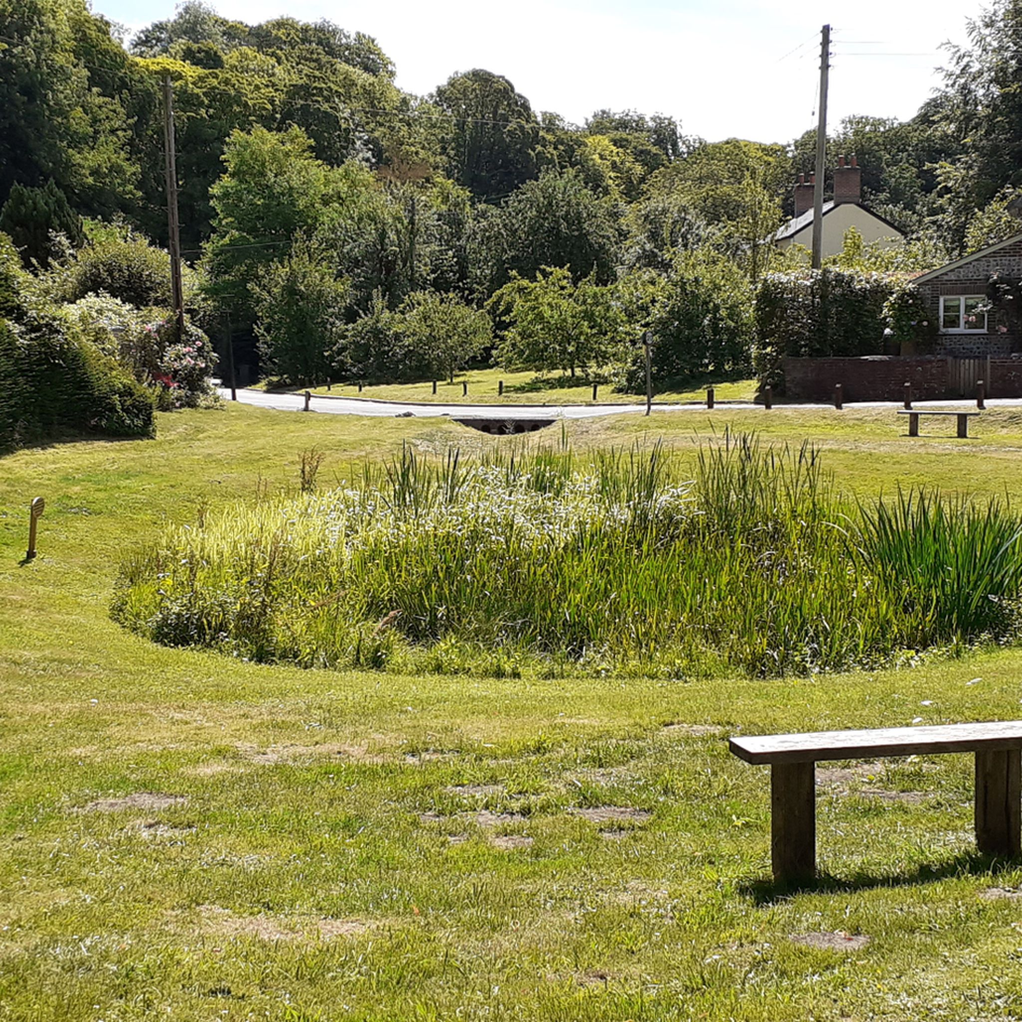
The area around Tollard Royal is rich in natural beauty and historical sites. You can encounter stunning viewpoints like Win Green Summit, offering panoramic views, or explore ancient sites such as the Hambledon Hill Iron Age hill fort. The village of Tollard Royal itself is charming, with a central pond and the historic St. Peter ad Vincula Church. Nearby, you can also find the famous Larmer Tree Gardens and King John's House.
Are there any routes with notable viewpoints?
Absolutely. The Cranborne Chase area is known for its rolling hills and expansive vistas. Many routes will take you past elevated points offering breathtaking views. For instance, Win Green Summit, one of the highest points in Cranborne Chase, provides views stretching across Blackmore Vale and Salisbury Plain. Hambledon Hill Iron Age hill fort and Hod Hill are also excellent spots for expansive views.
What do other gravel bikers enjoy most about gravel biking in Tollard Royal?
Gravel bikers frequently praise the diverse terrain, which includes field and woodland paths, bridleways, and tracks across chalk downland and secluded dry valleys. The region's blend of challenging climbs and scenic descents, coupled with its rich historical context and natural beauty, makes it a highly regarded destination. Many appreciate the quiet, varied landscapes and the sense of exploration offered by the extensive network of trails.
Where can I find parking for gravel biking in Tollard Royal?
Tollard Royal is a small village, and parking is generally available, often near the village pond or designated public areas. For specific routes, it's advisable to check the starting point of your chosen tour on komoot, as many routes begin from villages or trailheads with local parking options. For example, routes starting from Sixpenny Handley or Berwick St. John will have local parking facilities.
Are there places to eat or stay near the gravel bike trails?
Tollard Royal and the surrounding villages offer options for refreshments and accommodation. Tollard Royal itself has local establishments, and nearby towns like Shaftesbury provide a wider range of cafes, pubs, and guesthouses. Many routes pass through or near villages where you can find a welcoming stop for a meal or a drink.
Are there challenging gravel bike routes for experienced riders?
Yes, the Tollard Royal area offers several challenging gravel bike routes for experienced riders. These often feature significant elevation gains across the chalk downland and longer distances. Routes like the River Stour at Spetisbury – Stour Bridge loop from Tarrant Launceston, which covers over 100 km with substantial climbing, or the Ox Drove Gravel Road – Gold Hill, Shaftesbury loop from Shaftesbury, are designed to test endurance and skill.
When is the best time of year to go gravel biking around Tollard Royal?
The best time for gravel biking around Tollard Royal is generally during the spring, summer, and early autumn months (April to October). During these periods, the weather is typically milder, and the trails are drier, making for more enjoyable riding conditions. The landscapes are particularly vibrant in spring and autumn. Winter riding is possible but can be muddy and challenging on some unpaved sections.
Are there family-friendly gravel bike trails around Tollard Royal?
While many routes in the area involve undulating terrain and some challenging sections, there are options that can be adapted for families or those seeking an easier ride. Look for routes that stick to flatter sections of the North Dorset Trailway or less strenuous paths through woodlands. Always check the route's difficulty and elevation profile on komoot to ensure it matches your family's ability.
Can I bring my dog on the gravel bike trails?
Many public bridleways and byways in the Cranborne Chase area are accessible for dogs, provided they are kept under control, especially around livestock. However, specific rules can vary depending on the land ownership and conservation designations. It's always best to check local signage and be mindful of wildlife and farm animals. Ensure your dog is well-behaved and can keep pace with your cycling.
Most popular attractions around Tollard Royal

Get inspired with the komoot mobile app


Explore more
Browse the best Gravel rides in other regions.
