The best gravel rides around Pangbourne
4.5
(7)
51
riders
13
rides
Gravel biking around Pangbourne offers routes through varied landscapes, including sections of the Chilterns National Landscape. The area features rolling hills, dense woodlands, and paths alongside the River Thames. Terrain often includes a mix of gravel tracks, bridleways, and quiet country lanes, providing diverse surfaces for gravel cyclists. The region's topography includes moderate ascents and descents, with some routes reaching elevations over 400 meters.
Best gravel bike trails around Pangbourne
- The most popular gravel bike trail is Ridgeway Track to…
Last updated: July 3, 2026
9
riders
49.6km
03:07
480m
480m
Hard gravel ride. Very good fitness required. Mostly paved surfaces. Suitable for all skill levels.
5.0
(1)
11
riders
29.7km
01:51
200m
200m
Moderate gravel ride. Good fitness required. Mostly paved surfaces. Suitable for all skill levels.

Sign up for free
3.5
(2)
7
riders
47.7km
03:04
490m
490m
Hard gravel ride. Very good fitness required. You may need to push your bike for some segments of this route.
7
riders
Moderate gravel ride. Good fitness required. Mostly paved surfaces. Suitable for all skill levels.
6
riders
91.2km
05:54
950m
950m
Hard gravel ride. Very good fitness required. You may need to push your bike for some segments of this route.
Get access to more routes and recommendations from other explorers.
Sign up for free
Already have an account?
Our route recommendations are based on thousands of hikes, rides, and runs completed by other people on komoot.
Start today with a free account
Your next adventure awaits.
Login or Signup
Other adventures around Pangbourne

Tips from the Community

Not a gravel riding track. Only suitable for mountain bikes due to the road conditions, big rocks, and large potholes. If you must ride a gravel bike here, do not cruise and always go slowly.
0
0

Very accessible well in kidmore end. Low fitness required to get here
0
0
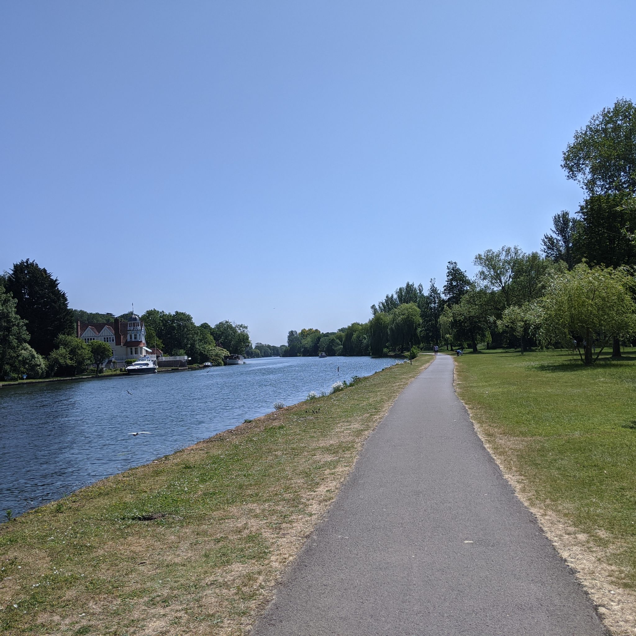
All cyclists are able to pass the toll bridge for free
0
0
Quite a flat road and peaceful too. Perfect for beginners
0
0
This Church is very accessible from many roads leading to Kidmore end, leaving endless route possibilities
0
0


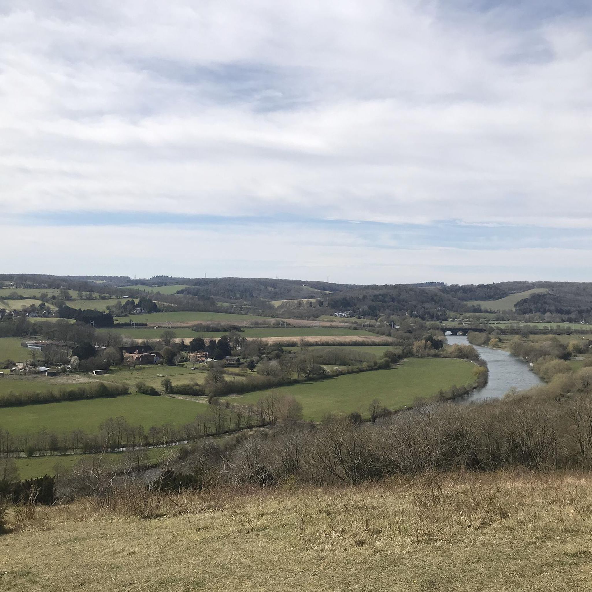
Although most riders finish King Alfred’s Way in Winchester, I wrapped up my journey in Reading—making this stunning Ridgeway section into Streatley one of my final and most memorable stretches. The open chalk track offers incredible views over the Thames Valley, followed by a flowing descent into Streatley & Goring—an ideal place to pause, refuel, and take in the last big skies before rolling to the end. 🚴♂️ Fast but rideable chalk descent (even in damp conditions), watch for walkers and ruts. 📍 Café and rest stop options in Streatley/Goring.
1
0

Watermill was the setting for the 1st Black Sabbath album cover. Now open to the public on occasions it's a fascinating visit
0
0
Frequently Asked Questions
How many gravel bike trails are available around Pangbourne?
Pangbourne offers a good selection of gravel bike trails, with over 20 routes available for exploration. These routes cater to various skill levels, from moderate to difficult.
Are there any beginner-friendly gravel bike trails in Pangbourne?
While most routes around Pangbourne are moderate to difficult, there is at least one designated easy gravel bike trail. For those new to gravel biking, we recommend starting with routes that have lower elevation gain and shorter distances to build confidence.
What are some of the longer gravel bike routes near Pangbourne?
For a longer adventure, consider the Mapledurham Estate Bridleway – Chilterns National Landscape loop from Tilehurst. This challenging route spans over 94 kilometers (58 miles) and features significant elevation changes, making it a substantial ride for experienced gravel bikers.
Are there any family-friendly gravel biking options in the Pangbourne area?
For families, look for routes with gentler terrain and shorter distances, often found along the River Thames paths or within local woodlands. While specific 'family-friendly' designations are limited, routes with 'moderate' difficulty and under 20km are generally more suitable. Always check the route profile for elevation and surface type before heading out.
Where can I find parking for gravel biking routes around Pangbourne?
Parking availability varies by trailhead. Many routes start from villages like Pangbourne, Goring-on-Thames, or smaller hamlets, where public car parks or on-street parking might be available. It's advisable to check specific starting points on komoot for parking suggestions or local council websites for detailed information on parking facilities and restrictions.
Can I access gravel bike trails near Pangbourne using public transport?
Yes, Pangbourne is well-connected by train, making it a convenient starting point for many routes. Goring & Streatley station is also nearby. Many trails are accessible directly from these stations or a short ride away, allowing you to explore the area without a car. Always check train operator policies regarding bikes during peak hours.
What kind of viewpoints can I expect along the gravel bike trails?
The routes often offer stunning views, particularly from the rolling hills of the Chilterns National Landscape and along the River Thames. You might encounter panoramic vistas of the Thames Valley, such as from Lough Down, or scenic river views near locks and weirs.
Are there any pubs or cafes along the gravel bike routes in Pangbourne?
Yes, many routes pass through or near charming villages like Goring-on-Thames, Whitchurch-on-Thames, and Pangbourne itself, which are home to traditional pubs and cafes. These make excellent spots for a mid-ride refreshment or a post-ride meal. The Hartslock Gap – Goring-on-Thames village loop from Caversham Heights, for instance, passes through Goring-on-Thames.
What natural attractions or landmarks can I see while gravel biking?
Along the trails, you can discover several natural and historical highlights. The Hartslock Gap – Goring-on-Thames village loop explores the beautiful Hartslock Nature Reserve. Other notable sights include the historic Whitchurch Bridge over the River Thames and the serene Bluebell Woods at Kingswood Common.
Are there many circular gravel bike routes around Pangbourne?
Yes, many of the gravel bike routes in the Pangbourne area are designed as circular loops, allowing you to start and finish at the same point. Examples include the popular Ridgeway Track to Streatley – Goring Lock and Weir loop from Beenham and the Coldmoor Wood Trail – Ipsden Wood loop from Clayfield Copse.
What do other gravel bikers enjoy most about Pangbourne's trails?
The komoot community highly rates the gravel biking experience in Pangbourne, with an average score of 4.7 stars from over 10 reviews. Riders frequently praise the varied terrain, which includes a mix of gravel tracks, bridleways, and quiet country lanes, as well as the scenic riverside paths and dense woodlands.
Most popular routes around Pangbourne
Most popular attractions around Pangbourne

Get inspired with the komoot mobile app


Explore more
Browse the best Gravel rides in other regions.
