The best gravel rides around Rotherwick
4.3
(9)
43
riders
6
rides
Gravel biking around Rotherwick features a landscape characterized by gently undulating countryside, ancient woodlands, and open fields. The region includes river valleys and canal towpaths, providing varied terrain for cycling. Elevation changes are generally moderate, with an average height above sea level around 80 meters. The network of trails offers opportunities for extended rides through diverse natural environments, including sections along the Basingstoke Canal.
Best gravel bike trails around Rotherwick
- The most popular gravel bike trail is Ash Lock (Basingstoke…
Last updated: October 19, 2026
3.0
(1)
14
riders
Easy gravel ride. Great for any fitness level. Mostly paved surfaces. Suitable for all skill levels.
4.0
(1)
9
riders
Moderate gravel ride. Good fitness required. Mostly paved surfaces. Suitable for all skill levels.

5.0
(2)
6
riders
36.5km
02:02
140m
140m
Hard gravel ride. Good fitness required. You may need to push your bike for some segments of this route.
5
riders
Easy gravel ride. Great for any fitness level. Mostly paved surfaces. Suitable for all skill levels.
5.0
(2)
4
riders
Easy gravel ride. Great for any fitness level. Mostly paved surfaces. Suitable for all skill levels.
Our route recommendations are based on thousands of hikes, rides, and runs completed by other people on komoot.
Start today with a free account
Your next adventure awaits.
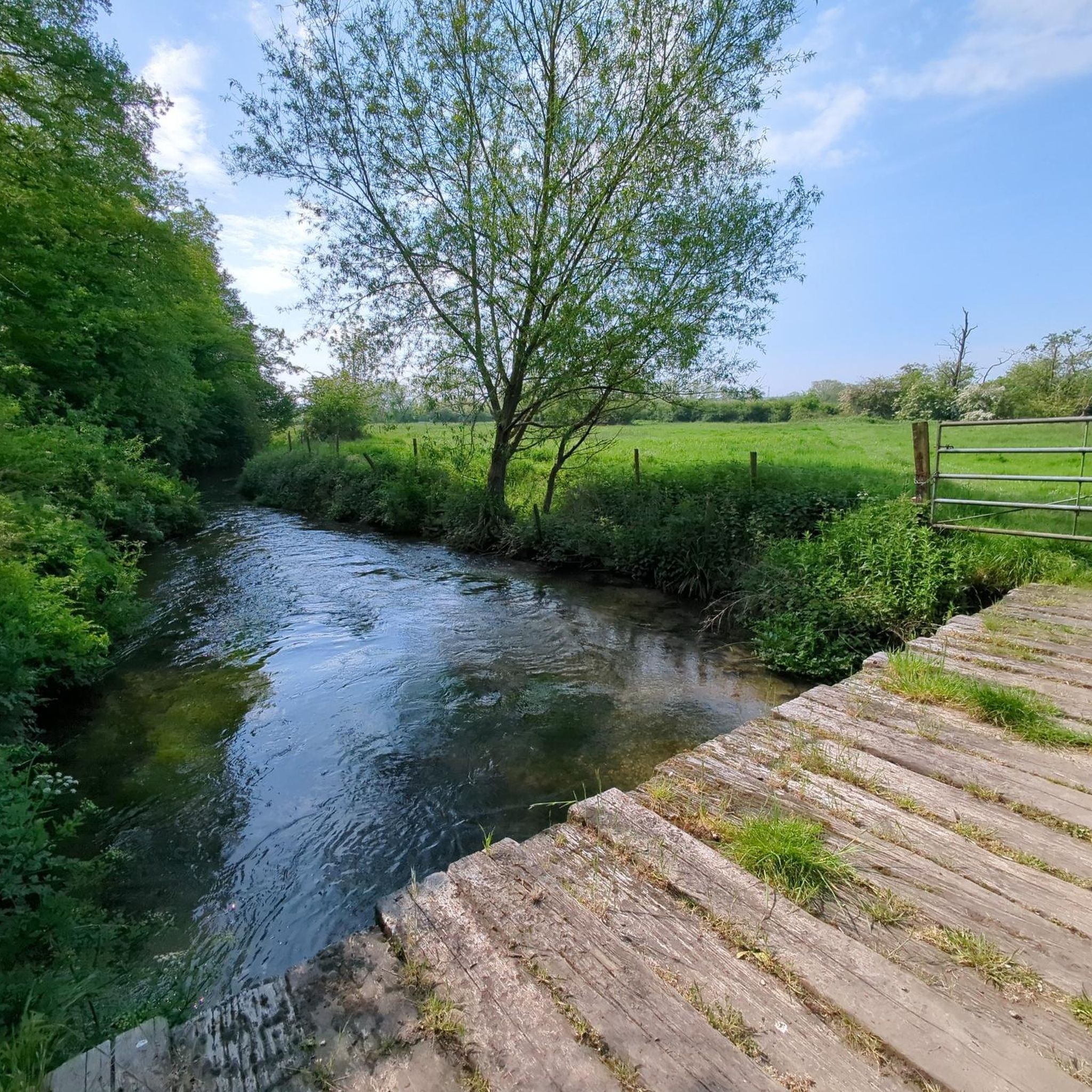
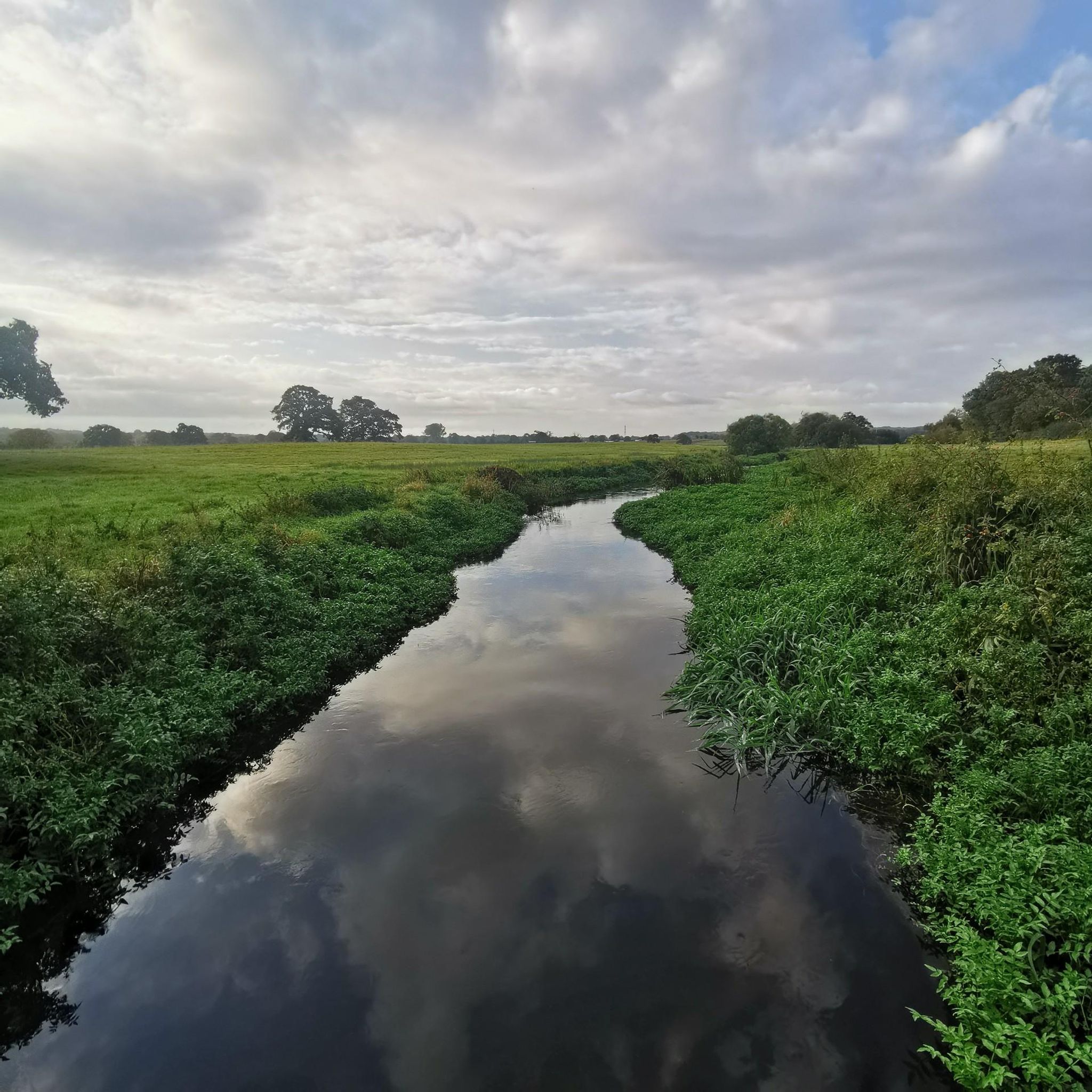

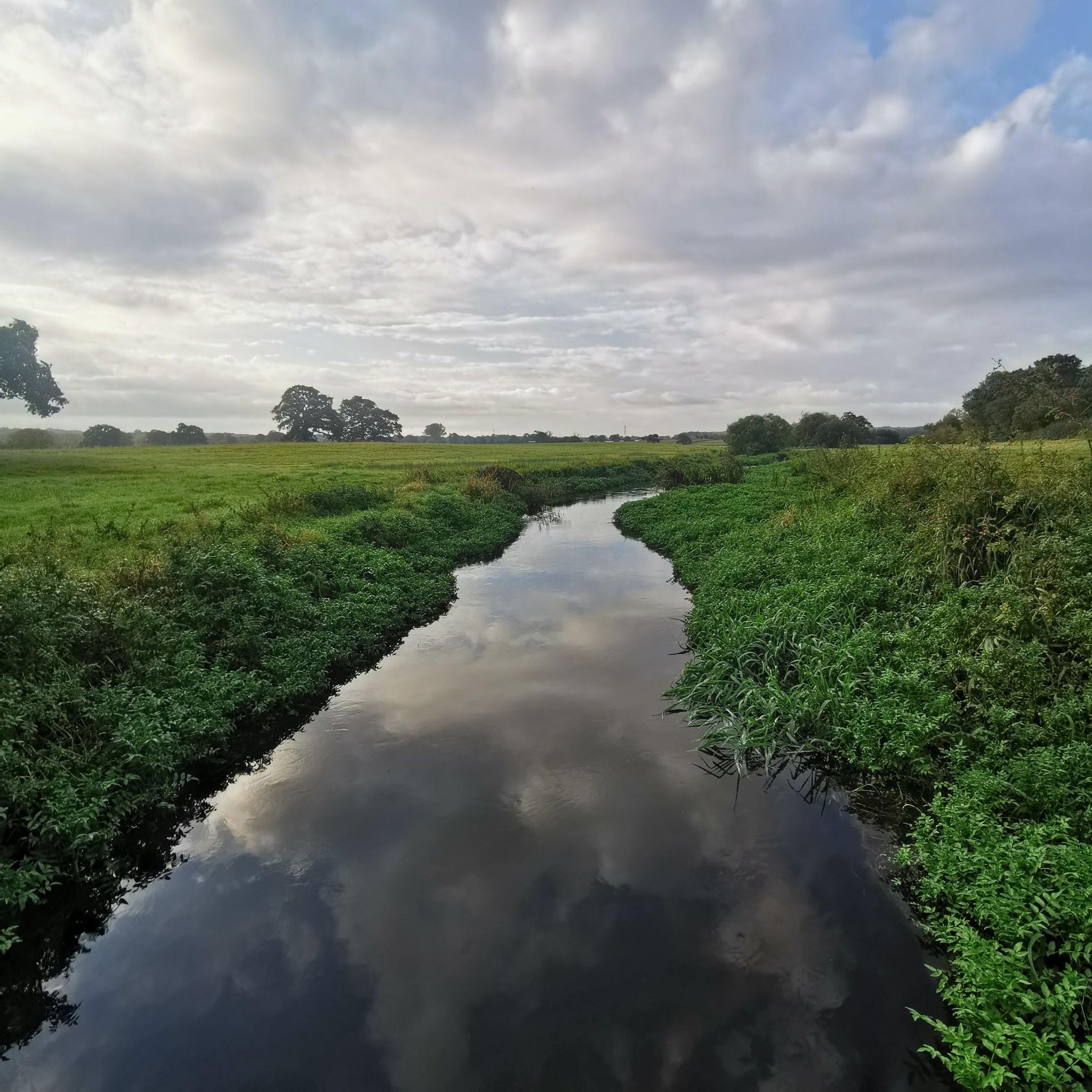
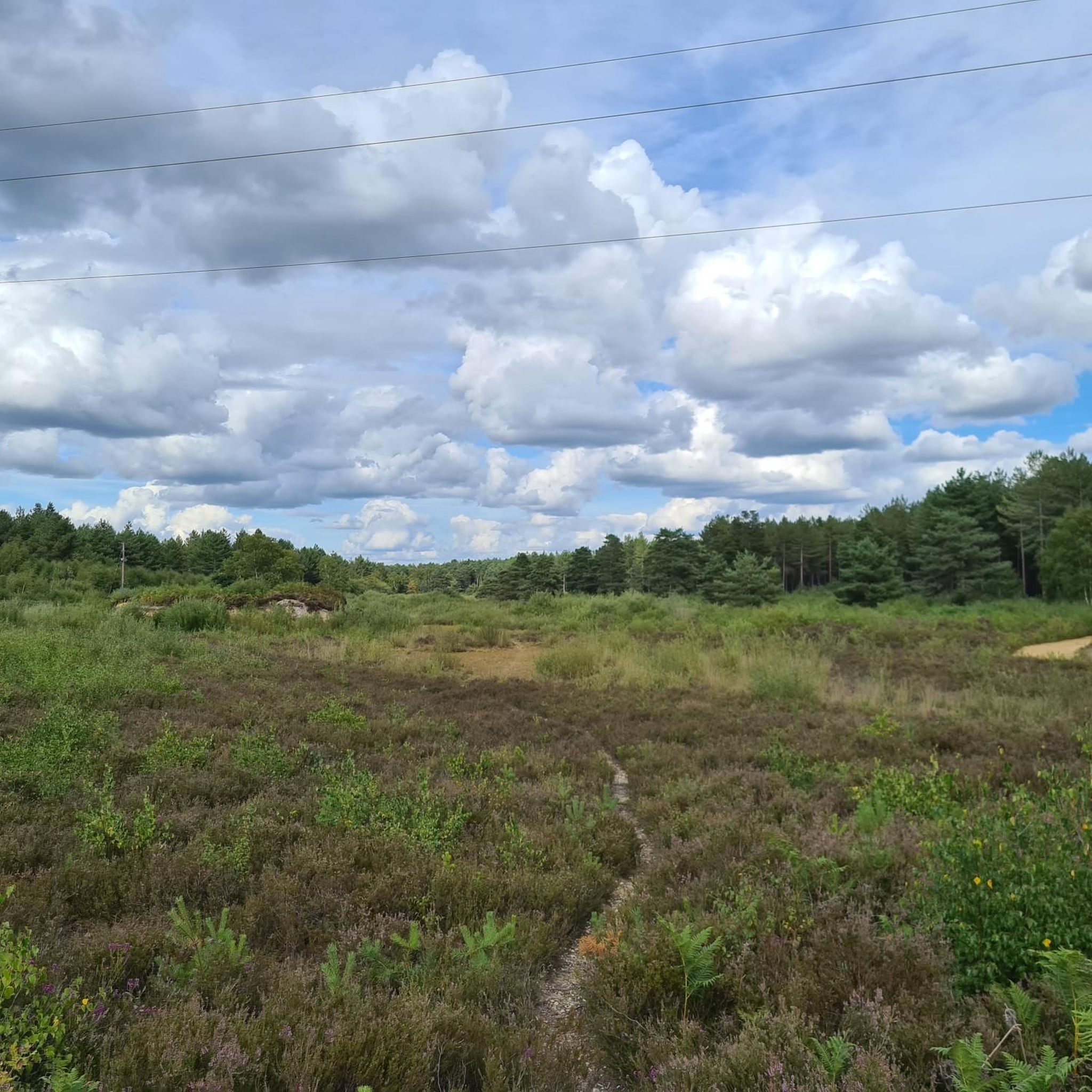
Tips from the Community

This is a nice place if you want a rest. The Basingstoke canal is a lovely picturesque ride.
0
0

This junction is a great place to meet up or find your way around the trails and Swinley Forest
0
0

Sick place to ride, loads of trails and the burns are great👌.
0
0


This is a lovely stretch of fast downhill, or tough uphill depending on direction, on a well-maintained path through Minley. There are a number of interconnecting trails here which make for an exciting and scenic ride.
1
0


The modern metal structure of Eelmoor Bridge replaced a former brick one. Offers lovely views along the Basingstoke Canal and down to Eelmoor Flash - a great place to spot dragonflies and damselflies.
0
0

A nice little boathouse. Note, go down Gold Lane to the fisheries for a restaurant/coffee room overlooking the lakes. It feels a little shady on the way in as it is an unadopted road, but it's fine.
0
0
Frequently Asked Questions
What kind of terrain can I expect on gravel bike trails around Rotherwick?
The gravel biking around Rotherwick offers a diverse landscape, featuring a mix of canal towpaths, woodland trails, and open countryside. You'll find varied terrain, including sections along the Basingstoke Canal and routes that traverse areas like Swinley Forest. Elevation changes are generally moderate, with some longer routes incorporating more significant climbs.
Are there gravel bike trails suitable for beginners or families in Rotherwick?
Yes, Rotherwick offers options for different ability levels. For an easier, relatively flat and scenic ride, consider the Mytchett Lake Road Bridge – Ash Lock (Basingstoke Canal) loop from Fleet. This 14.6-mile path primarily follows the Basingstoke Canal, making it a good choice for those looking for a less challenging experience.
How many gravel bike routes are available in the Rotherwick area?
There are 7 gravel bike routes available in the Rotherwick area, catering to various skill levels from easy to difficult.
Are there any challenging gravel bike routes for experienced riders?
Yes, for more experienced riders seeking a challenge, routes like the Ridgeway Track to Streatley – Goring Lock and Weir loop from Mortimer offer a longer distance of 42.7 miles with more significant elevation changes, leading through the Ridgeway Track and river scenery.
What are the typical distances for gravel bike routes in Rotherwick?
Route distances in Rotherwick vary significantly. You can find shorter options around 14.6 miles, such as the Mytchett Lake Road Bridge – Ash Lock (Basingstoke Canal) loop from Fleet, up to longer rides like the 42.7-mile Ridgeway Track to Streatley – Goring Lock and Weir loop from Mortimer.
Are the gravel bike trails in Rotherwick typically circular routes?
Yes, many of the gravel bike trails around Rotherwick are designed as loops, allowing you to start and finish at the same point. For example, the Ash Lock (Basingstoke Canal) – Swinley Forest — Red Trailhead loop from Fleet is a popular circular route connecting canal paths with forest trails.
What kind of attractions or landmarks can I see along the gravel bike trails?
While riding, you might encounter historical sites and natural features. Nearby attractions include the Odiham Castle Ruins, the Roman town and city walls of Calleva Atrebatum, and the historic estate of The Vyne. You may also pass by various lakes and ponds such as Horseshoe Lake.
What do other gravel bikers say about the routes in Rotherwick?
The routes in Rotherwick are highly rated by the komoot community, with an average score of 4.7 stars from over 6 reviews. Many riders appreciate the varied terrain, which combines canal towpaths, woodland sections, and open countryside.
Is parking available near the gravel bike trails in Rotherwick?
While specific parking details for each trailhead are not provided, many routes in the UK countryside, especially those starting from towns or popular recreational areas, typically have nearby parking facilities. It's advisable to check the starting point of your chosen route on komoot for more precise parking information.
Can I access the gravel bike trails in Rotherwick using public transport?
Access to trails by public transport can vary. For routes starting near towns like Fleet or Mortimer, there may be train or bus connections. We recommend checking local public transport schedules and routes to the specific starting points of the trails you plan to ride.
Are there any gravel bike routes that include pub stops in Rotherwick?
While specific pub stops are not detailed for each route, the Rotherwick area, being part of the English countryside, often features villages and towns with traditional pubs. Many routes, particularly those passing through or near settlements, offer opportunities to stop for refreshments. You might find options along routes like the Basingstoke Canal Towpath loop from Castle Bottom.
What is a good route for experiencing both canal paths and forest trails?
For a route that combines both canal paths and forest trails, the Ash Lock (Basingstoke Canal) – Swinley Forest — Red Trailhead loop from Fleet is an excellent choice. This 29.3-mile route offers varied surfaces and scenery.
Most popular attractions around Rotherwick

Get inspired with the komoot mobile app


Explore more
Browse the best Gravel rides in other regions.
