The best gravel rides around Gilston
4.2
(19)
78
riders
8
rides
Gravel biking around Gilston offers routes through a landscape characterized by river valleys, converted railway paths, and greenways. The region features gentle gradients and open countryside, making it suitable for various gravel cycling experiences. Trails often follow waterways like the River Lea and River Stort, providing a mix of surfaced and unpaved sections. The terrain is generally low-lying with modest elevation gains, ideal for accessible gravel bike trails.
Best gravel bike trails around Gilston
- The most popular gravel bike trail is Flitch Way — East section – Flitch Way Cycle Path loop from Bishop's Stortford, a 37.5 miles (60.4 km) trail that takes 4 hours 30 minutes to complete. This route utilizes a former railway line, offering a consistent surface for gravel riding.
- Another top favourite among local gravel bikers is River Stort Towpath – View of Seventy Acres Lake loop from Harlow Mill, a moderate 29.3 miles (47.2 km) path. This path follows the River Stort, offering scenic riverside sections.
- Local gravel bikers also love the Cycle Stortford Meeting Point – Flitch Way Cycle Path loop from Bishop's Stortford, a 20.7 miles (33.2 km) trail leading through the Flitch Way corridor, often completed in about 2 hours 27 minutes.
- Gravel biking around Gilston is defined by river paths, converted railway lines, and open green spaces. The network offers options for different ability levels, from easy family-friendly rides to more moderate distances.
- The routes in Gilston are highly rated by the komoot community with an average score of 4.2 stars from over 19 reviews. More than 80 gravel bikers have used komoot to explore Gilston's varied terrain.
Last updated: July 3, 2026
3.0
(1)
31
riders
Moderate gravel ride. Good fitness required. Mostly paved surfaces. Suitable for all skill levels.
5.0
(9)
15
riders
47.2km
02:42
150m
150m
Moderate gravel ride. Good fitness required. Mostly paved surfaces. Suitable for all skill levels.

Sign up for free
4.0
(1)
14
riders
Moderate gravel ride. Good fitness required. Mostly paved surfaces. Suitable for all skill levels.
4.7
(6)
13
riders
18.8km
00:54
30m
30m
Easy gravel ride. Great for any fitness level. Mostly paved surfaces. Suitable for all skill levels.
4.5
(2)
5
riders
32.2km
01:59
230m
230m
Moderate gravel ride. Good fitness required. Mostly paved surfaces. Suitable for all skill levels.
Get access to more routes and recommendations from other explorers.
Sign up for free
Already have an account?
Our route recommendations are based on thousands of hikes, rides, and runs completed by other people on komoot.
Start today with a free account
Your next adventure awaits.
Login or Signup

Tips from the Community

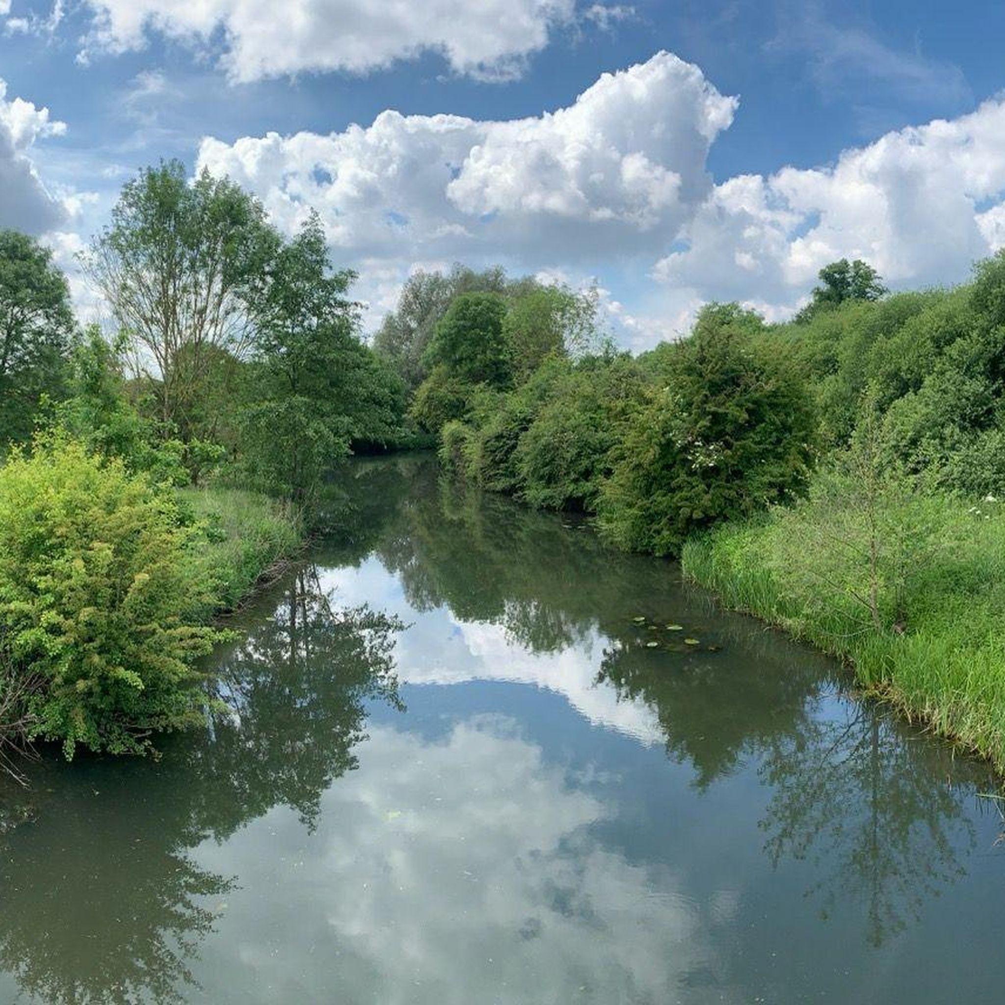
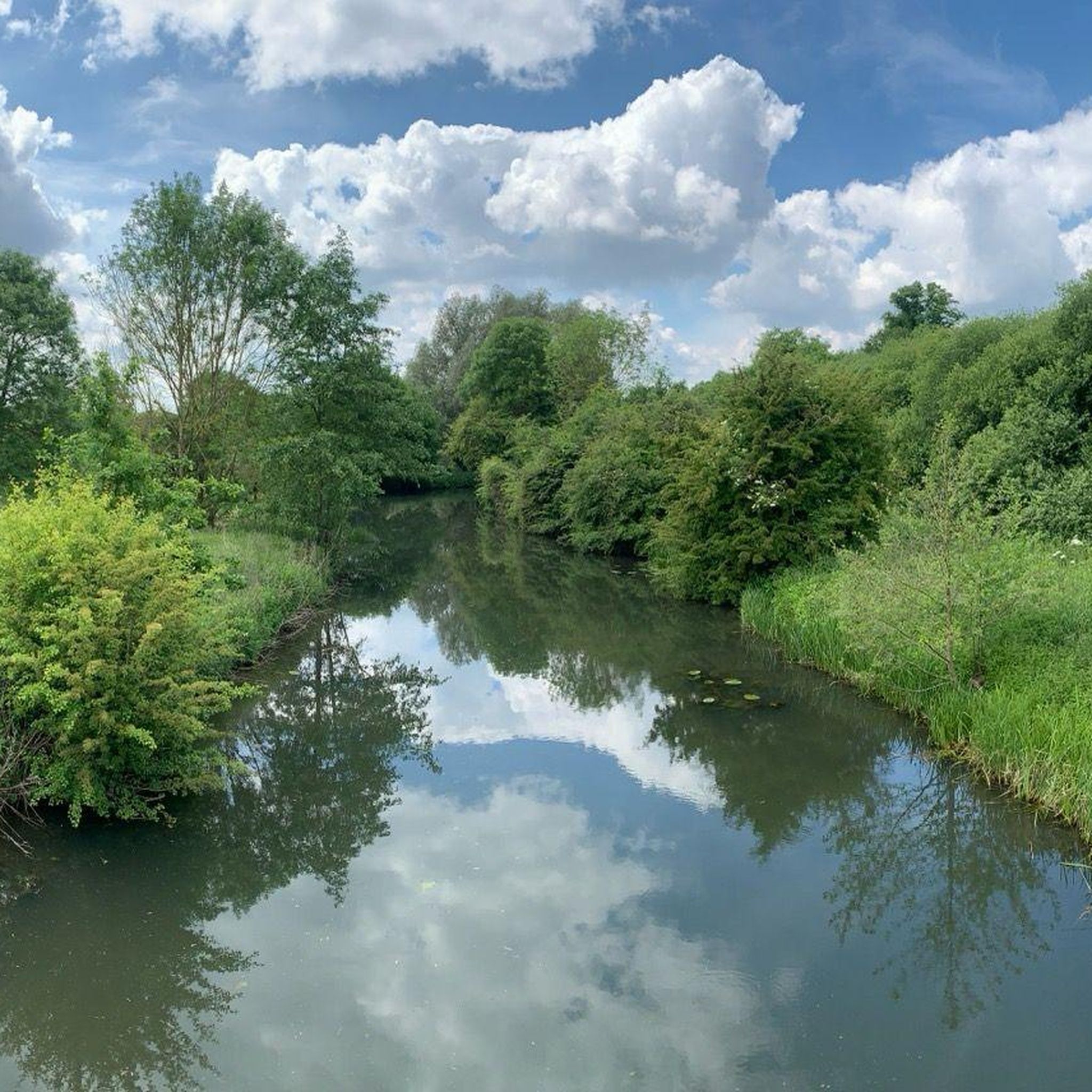
Nice green area. Most trails lead through grass. In winter it likes to be wet and muddy.
2
0

Fantastic, scenic viewpoint. The Wildlife Discovery Centre Tower is also situated here.
0
0

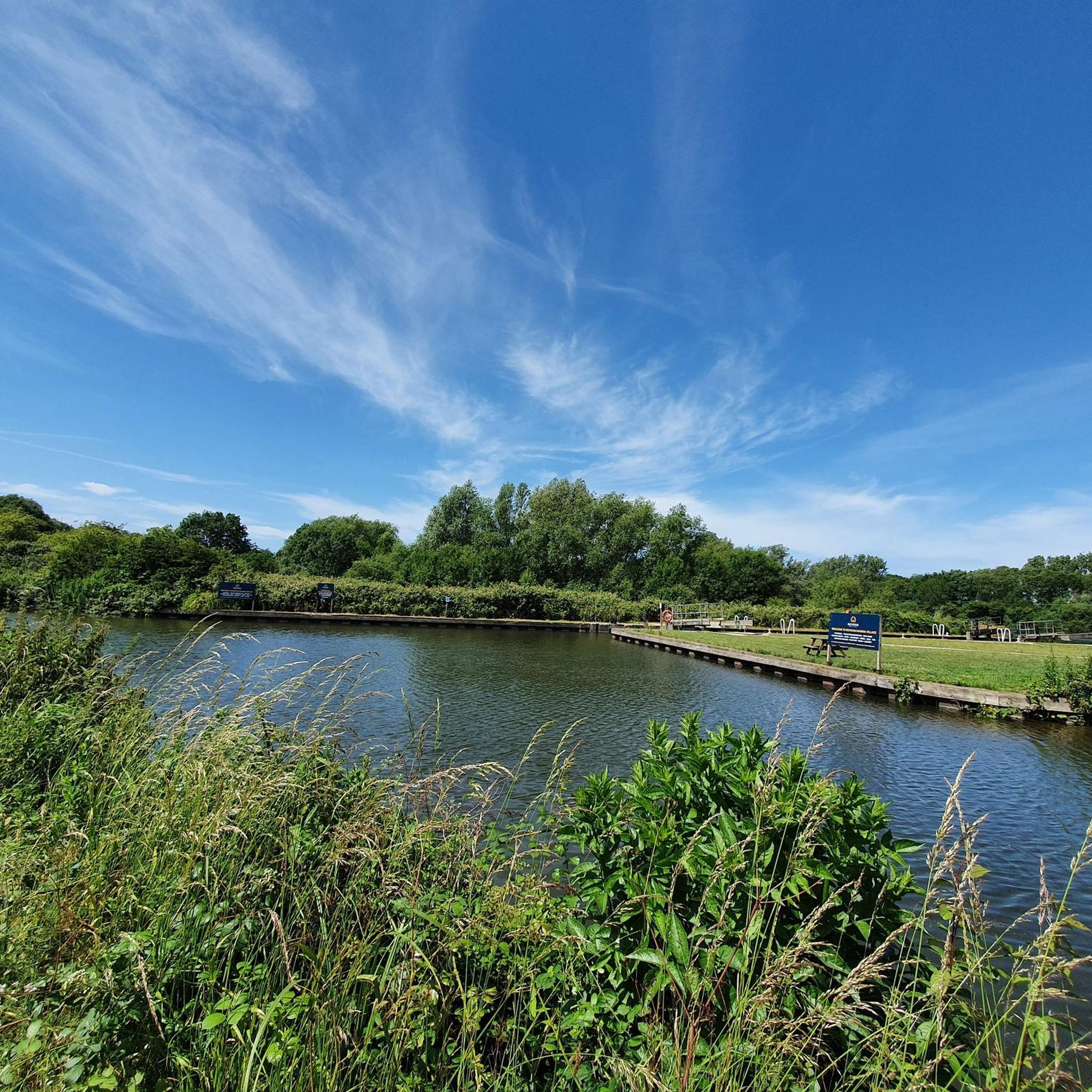
Watch out for pedestrians and dogs, great place to stop to refuel.
0
0
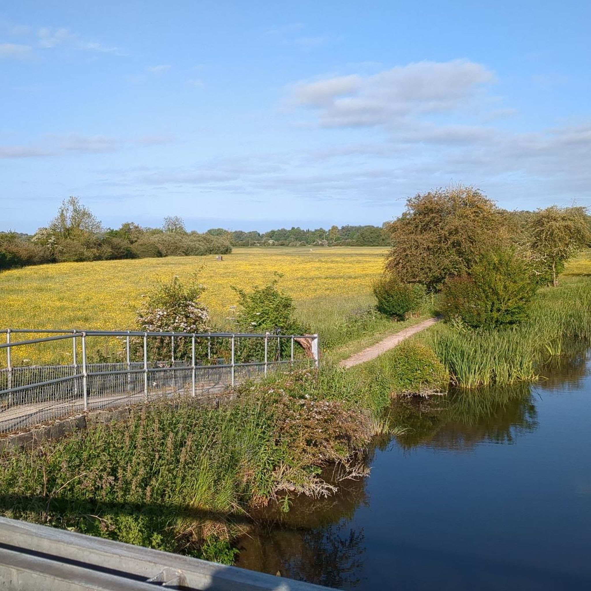
Easy route, suitable for all bikes and ages. Can be bumpy in places.
0
0

Bannister Green Halt was sited on the up side of the line and consisted of a clinker platform with timber facing raised to rail level; it was attended by staff from Felsted or Rayne Stations. It was one of two halts built by the GER in 1922 to attract passengers to the railway and counteract the then recently introduced bus service. Passengers joining or alighting at the halt were required to use retractable steps mounted by the side of the coach and operated by the guard.
0
0
The station closed in 1952, with the line being used for freight until it was closed in 1972. Only thing remains is crossing keeper's cottage
0
0

Sod the ford and just use the bridge.
0
0
Frequently Asked Questions
How many gravel bike trails are available around Gilston?
There are over 10 gravel bike trails around Gilston, offering a variety of experiences. You'll find options ranging from easy rides to more moderate distances, catering to different skill levels.
Are there beginner-friendly gravel bike trails in Gilston?
Yes, Gilston offers several beginner-friendly gravel bike trails. For example, the Cole Green Way – Cole Green Station loop from Ware is an easy 15.0-mile path that follows a scenic and relatively flat greenway. Another easy option is the River Lea Navigation at Ware – Hartham Common loop from Rye House, which is about 11.6 miles long.
What about more challenging gravel routes in the Gilston area?
For those seeking a bit more challenge, Gilston has moderate gravel routes. The Flitch Way — East section – Flitch Way Cycle Path loop from Bishop's Stortford is a popular 37.5-mile route that utilizes a former railway line. Another moderate option is the River Stort Towpath – View of Seventy Acres Lake loop from Harlow Mill, covering about 29.3 miles.
Are there family-friendly gravel biking options in Gilston?
Absolutely. Many of Gilston's gravel routes are suitable for families, especially those following converted railway paths and greenways which tend to be flatter and well-maintained. The Cole Green Way – Cole Green Station loop from Ware is an excellent choice for families due to its easy difficulty and scenic, traffic-free path.
How long do gravel bike trails in Gilston typically take to complete?
The duration varies depending on the route and your pace. Easy trails like the Cole Green Way loop typically take around 1 hour 30 minutes. Longer, moderate routes such as the Flitch Way — East section loop can take approximately 4 hours 30 minutes. Most routes fall within this range.
When is the best time of year for gravel biking in Gilston?
Spring, summer, and early autumn generally offer the best conditions for gravel biking in Gilston, with milder weather and drier trails. The region's low-lying terrain and river paths can be prone to muddier conditions after heavy rain, so checking local weather forecasts is always recommended.
Can I go gravel biking in Gilston during winter?
Gravel biking in Gilston is possible during winter, but conditions can be more challenging. Trails along river valleys and greenways may become muddy or wet, especially after rain or frost. It's advisable to use appropriate tires and check trail conditions beforehand. Some routes, particularly those on former railway lines, might offer more consistent surfaces.
Are there circular gravel bike routes available in Gilston?
Yes, many of the gravel bike routes around Gilston are designed as circular loops, allowing you to start and finish at the same point. This is convenient for parking and planning your ride. Examples include the Cycle Stortford Meeting Point – Flitch Way Cycle Path loop and the Cole Green Way loop.
What interesting places can I explore near Gilston's gravel bike trails?
The Gilston area is rich in natural beauty and historical sites. Along your rides, you might encounter highlights such as the Amwell Nature Reserve, the expansive King's Meads Nature Reserve, or the scenic Lea Valley Canal. You can also explore historical spots like Broxbourne Mill or unique features like Barwick Ford and Footbridge.
What do other gravel bikers say about the trails in Gilston?
The gravel biking trails in Gilston are highly rated by the komoot community, with an average score of 4.0 stars from over 20 reviews. Riders often praise the region's varied terrain, which includes river paths and converted railway lines, offering a good mix of surfaces and scenic views through open countryside.
Can I reach Gilston's gravel bike trails using public transport?
Yes, several towns near Gilston, such as Bishop's Stortford and Ware, have train stations with connections to London and other regional hubs. Many gravel routes, particularly those following former railway lines or greenways, are accessible from these towns, making it feasible to reach trailheads by public transport.
Most popular attractions around Gilston

Get inspired with the komoot mobile app


Explore more
Browse the best Gravel rides in other regions.
