The best gravel rides around Staverton
4.8
(9)
40
riders
2
rides
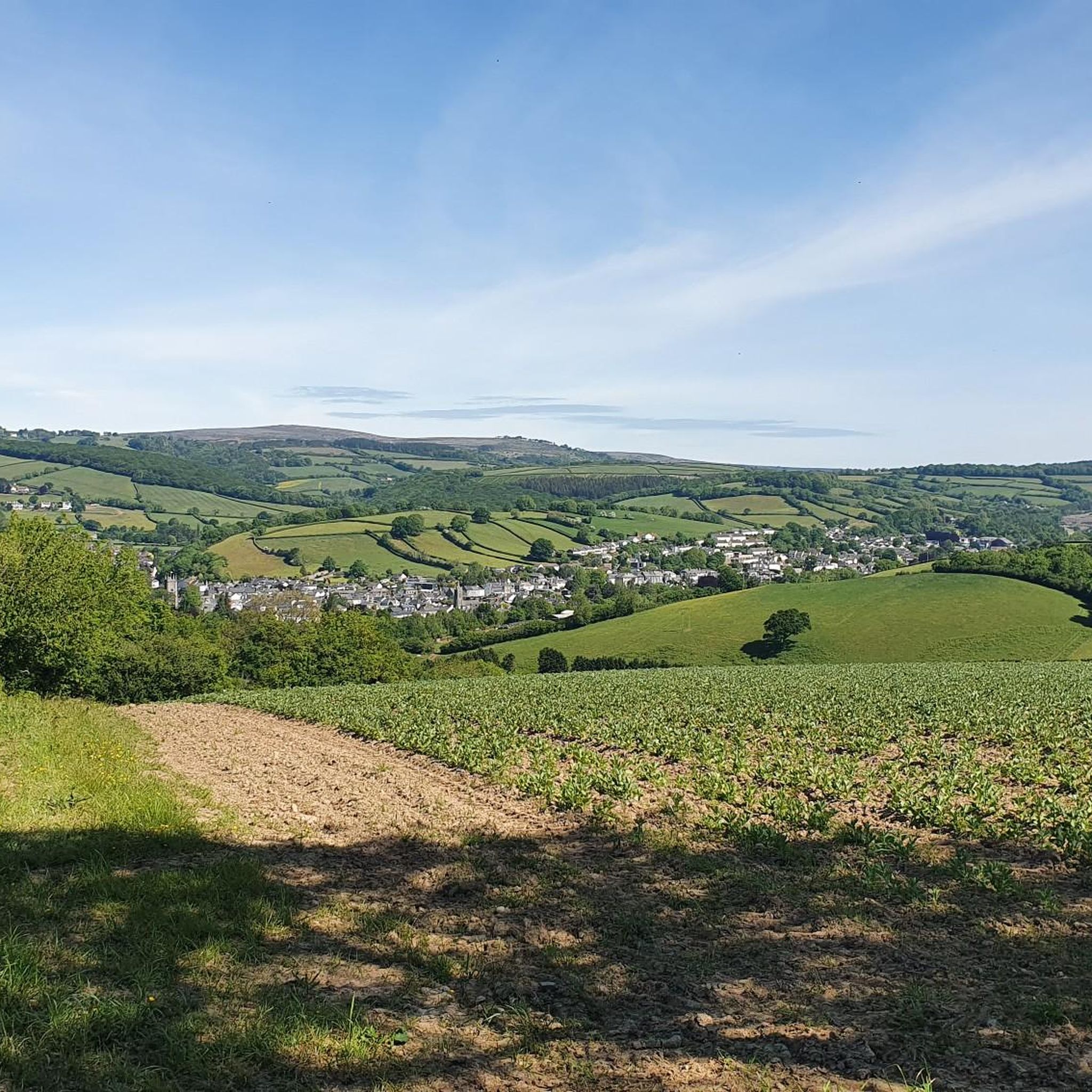
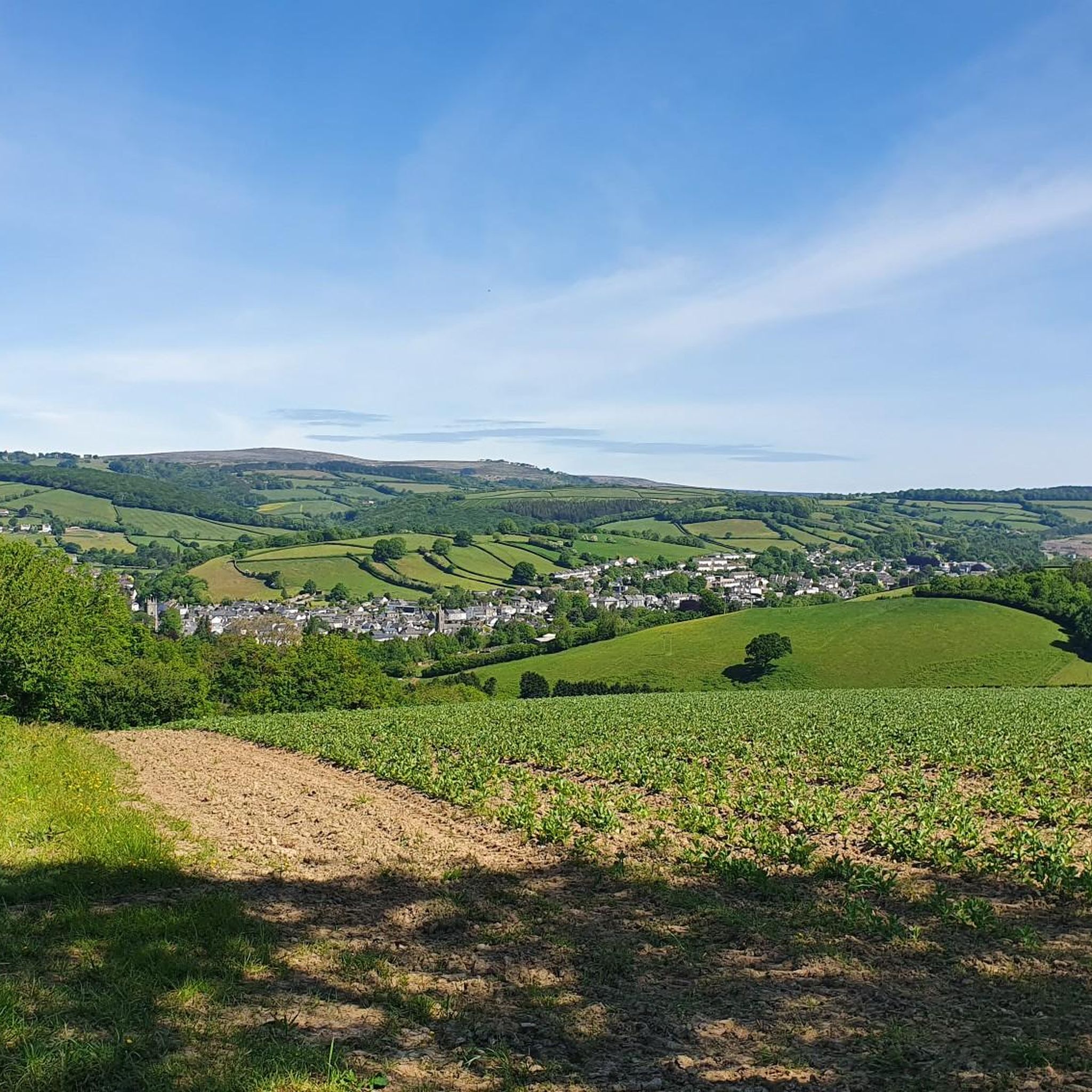
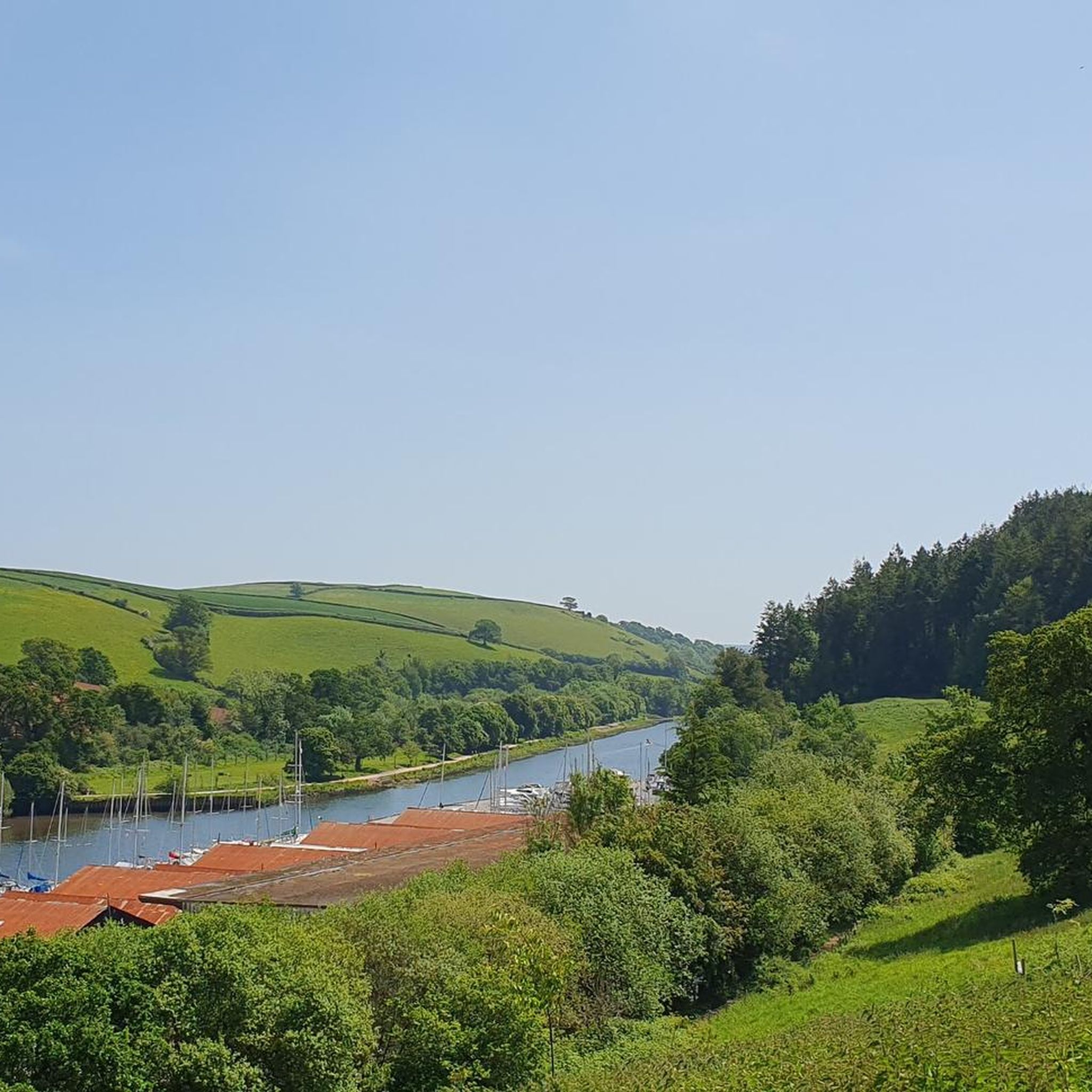
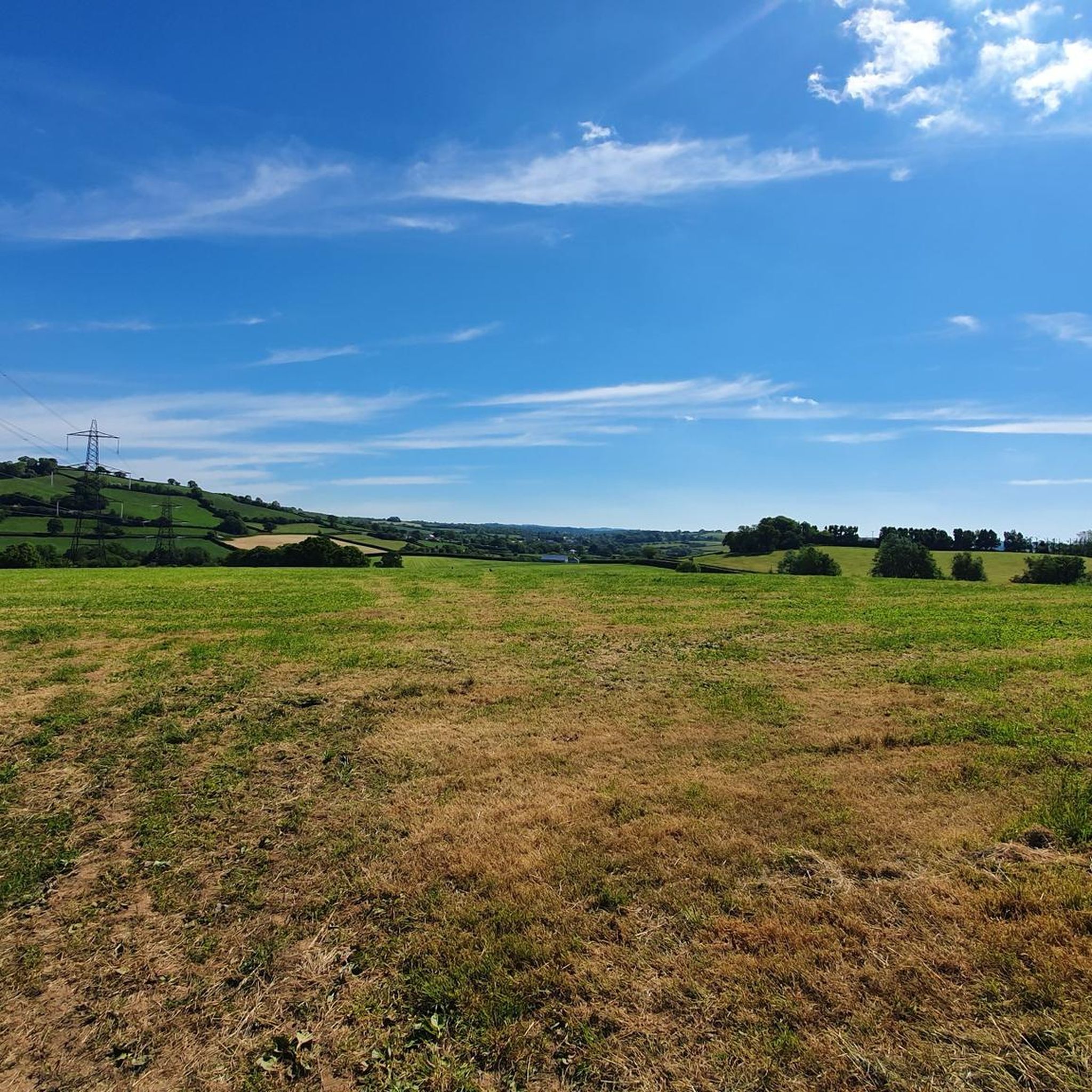
Gravel biking around Staverton offers routes through a landscape characterized by river valleys, rolling hills, and sections of woodland. The region features a network of bridleways and quiet country lanes, providing diverse terrain for gravel cyclists. Proximity to Dartmoor National Park means some routes may include more challenging ascents and open moorland sections. The area also connects to the Kennet and Avon Canal towpath, offering flatter, off-road sections.
Best gravel bike trails around Staverton
- The most popular gravel bike trail…
Last updated: July 3, 2026
5.0
(1)
6
riders
26.5km
02:14
660m
660m
Hard gravel ride. Very good fitness required. Mostly paved surfaces. Suitable for all skill levels.
4.6
(8)
32
riders
30.6km
01:39
260m
260m
Moderate gravel ride. Good fitness required. Mostly paved surfaces. Suitable for all skill levels.

Sign up for free
2
riders
26.2km
02:09
630m
630m
Hard gravel ride. Very good fitness required. Mostly paved surfaces. Suitable for all skill levels.
Our route recommendations are based on thousands of hikes, rides, and runs completed by other people on komoot.
Start today with a free account
Your next adventure awaits.
Login or Signup
Tips from the Community

A mixture of asphalt and gravel paths. But being an old railway line, a gentle incline towards Moretonhampstead.
0
0

A truly ancient place, stretching back to 1400 BC. What a task constructing the surrounding wall must have been!
0
0

Fabulous Trail! A 7 mile (11km) mainly traffic-free route from Bovey Tracey to Moretonhampstead follows the dismantled railway line through the National Trust Parke Estate and past the beautiful picturesque village of Lustleigh.
0
0

Beautiful Dartmoor roads up to Hound Tor. If coming from Trendlebere, the climbing gets much easier from here.
0
0

A 7-mile (11km), mainly traffic free, route linking Bovey Tracey to Moretonhampstead. It follows the line of the old railway, which was closed to passengers in 1959.
0
0

another opportunity to remember why you are on the cycle path
0
0

Moretonhampstead to Bovey Tracey os a great, smooth off road trail. Best avoided during school holiday week ends if speed is your thing but easy to cruise at 20mph when it's empty.
0
0

Frequently Asked Questions
What kind of terrain can I expect on gravel bike trails around Staverton?
Gravel biking around Staverton features a diverse landscape of river valleys, rolling hills, and woodland sections. You'll find a mix of bridleways and quiet country lanes. Given its proximity to Dartmoor National Park, some routes may include more challenging ascents and open moorland.
Are there gravel bike routes suitable for beginners in Staverton?
While Staverton's routes lean towards moderate to difficult, the area offers options that can be enjoyed by those with some gravel biking experience. For a route with less elevation gain, consider the Wray Valley Trail – Wray Valley Trail loop from Teigngrace, which is rated moderate and follows the scenic Wray Valley.
What are the options for more advanced gravel bikers in Staverton?
Advanced riders will find several challenging routes with significant elevation. The Lydia Bridge Waterfall – Avon Dam Reservoir loop from South Brent, for example, is a difficult 26.5 km trail with over 660 meters of ascent, offering varied terrain and scenic water features. Another challenging option is the Totnes Town Centre – Dittisham Ferry loop from Stoke Gabriel, which combines urban sections with estuarial views.
Are there any circular gravel bike routes available in Staverton?
Yes, many of the gravel bike routes around Staverton are designed as loops. For instance, the Wray Valley Trail – Wray Valley Trail loop from Teigngrace and the Wray Valley Trail – Wray Valley Trail loop from Haytor Rocks both offer circular experiences through the Wray Valley.
What kind of viewpoints can I expect along the gravel bike trails in Staverton?
The region around Staverton, particularly near Dartmoor, offers stunning viewpoints. You might encounter natural monuments like Haytor Rocks or Saddle Tor, which provide expansive views of the surrounding landscape. Combestone Tor and Black Hill Cairns are also notable viewpoints in the area.
Are there any routes that feature waterfalls or other water features?
Yes, the Lydia Bridge Waterfall – Avon Dam Reservoir loop from South Brent is specifically known for its scenic water features, including a waterfall and a reservoir, making it a popular choice for those seeking picturesque natural elements.
What is the best time of year to go gravel biking in Staverton?
The varied landscape of South Devon makes Staverton enjoyable for gravel biking throughout much of the year. Spring and autumn offer pleasant temperatures and beautiful scenery, while summer provides longer daylight hours. Be mindful that Dartmoor sections can be exposed, so check weather conditions, especially in cooler or wetter months.
What do other gravel bikers enjoy most about the trails in Staverton?
The komoot community highly rates the gravel biking in Staverton, with an average score of 4.0 stars from over 18 reviews. Riders often praise the diverse terrain, from river valleys to rolling hills, and the quiet country lanes that provide a peaceful cycling experience. The scenic beauty, particularly around Dartmoor, is also a frequently mentioned highlight.
Are there any interesting landmarks or attractions to see along the gravel bike routes?
Beyond the natural beauty, you can discover several interesting landmarks. Haytor Rocks is a prominent natural monument, and you might pass by the tranquil Haytor Quarry Pond with Water Lilies. Further afield, the historic Dartmeet and Clapper Bridge offers a glimpse into the region's heritage.
Is public transport an option for accessing gravel bike trails near Staverton?
Staverton itself has a heritage railway station, but for wider access to trailheads, public transport options might be limited. Buses serve some of the larger towns surrounding Staverton, such as Totnes, which could provide connections. However, for direct access to many of the more remote gravel routes, personal transport is generally more convenient.
Are there any routes that are particularly good for spotting wildlife?
The river valleys and woodland sections around Staverton, as well as the open moorland near Dartmoor, provide habitats for various wildlife. Routes like the Wray Valley Trail – Wray Valley Trail loop from Teigngrace, which winds through natural areas, offer good opportunities for birdwatching and observing local fauna, especially during quieter times of day.
What are the typical distances for gravel bike routes in the Staverton area?
Gravel bike routes around Staverton typically range from approximately 26 to 30 kilometers (16 to 19 miles). For example, the Lydia Bridge Waterfall – Avon Dam Reservoir loop from South Brent is about 26.5 km, while the Wray Valley Trail – Wray Valley Trail loop from Teigngrace extends to about 30.5 km, offering a good variety of distances for different preferences.
Most popular attractions around Staverton

Get inspired with the komoot mobile app


Explore more
Browse the best Gravel rides in other regions.
