The best gravel rides around Shustoke
4.3
(3)
16
riders
1
ride
Gravel biking around Shustoke offers routes through diverse landscapes, including tranquil watersides, historic paths, and varied countryside terrain. The area features a mix of unpaved and paved sections, catering to different gravel cycling preferences. Notable natural features include Shustoke Reservoir and the Tame Valley Wetlands, providing scenic backdrops for rides. The broader Warwickshire countryside around Shustoke is characterized by its leafy, working country aesthetic.
Best gravel bike trails around Shustoke
- The most popular gravel bike trail is Perry Barr Locks…
Last updated: July 3, 2026
4.5
(2)
6
riders
76.3km
04:06
290m
290m
Moderate gravel ride. Good fitness required. Mostly paved surfaces. Suitable for all skill levels.
2
riders
26.0km
01:36
120m
120m
Easy gravel ride. Great for any fitness level. Mostly paved surfaces. Suitable for all skill levels.

Sign up for free
4.0
(1)
7
riders
Moderate gravel ride. Good fitness required. Mostly paved surfaces. Suitable for all skill levels.
1
riders
67.2km
04:07
460m
460m
Hard gravel ride. Very good fitness required. Mostly paved surfaces. Suitable for all skill levels.
Our route recommendations are based on thousands of hikes, rides, and runs completed by other people on komoot.
Start today with a free account
Your next adventure awaits.
Login or Signup
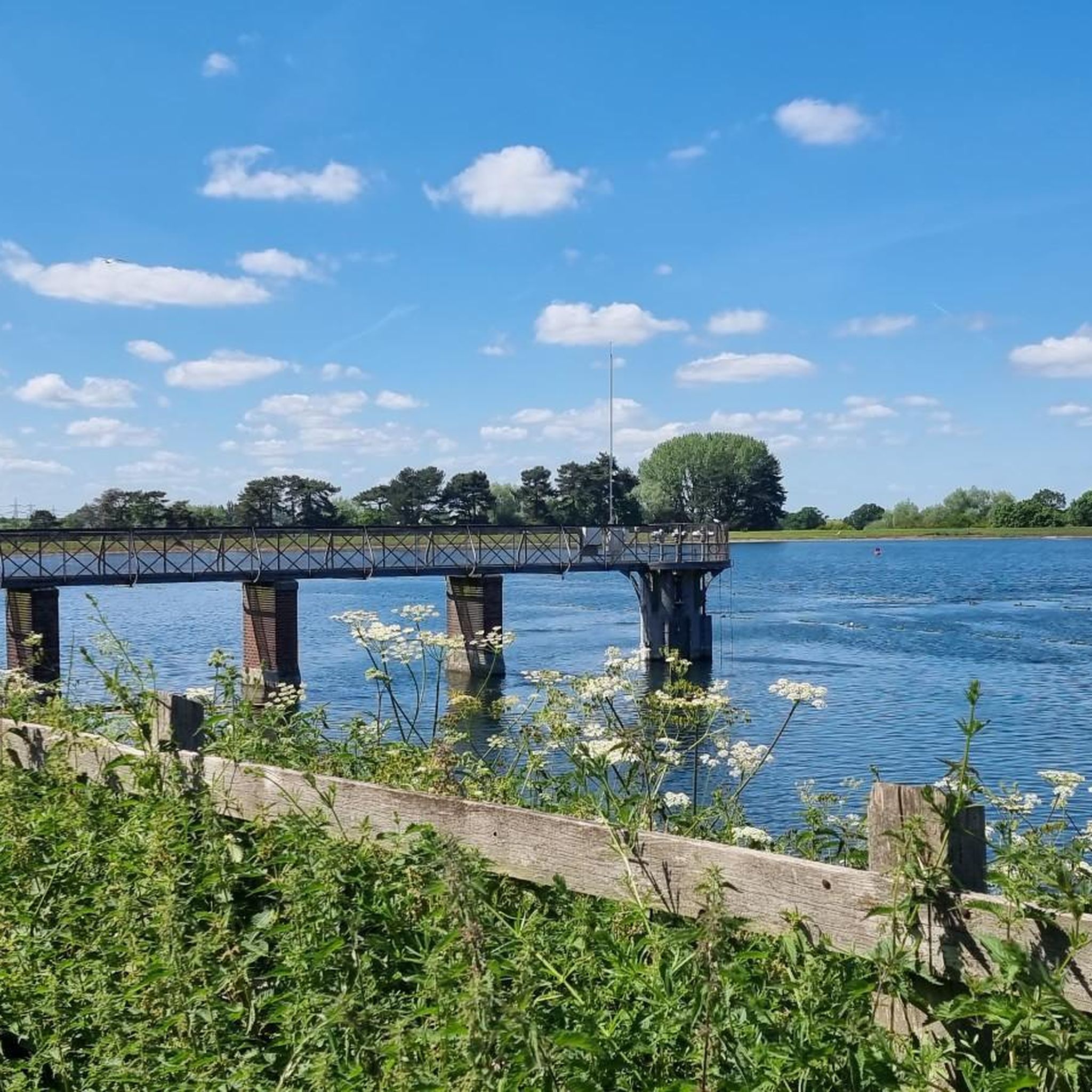
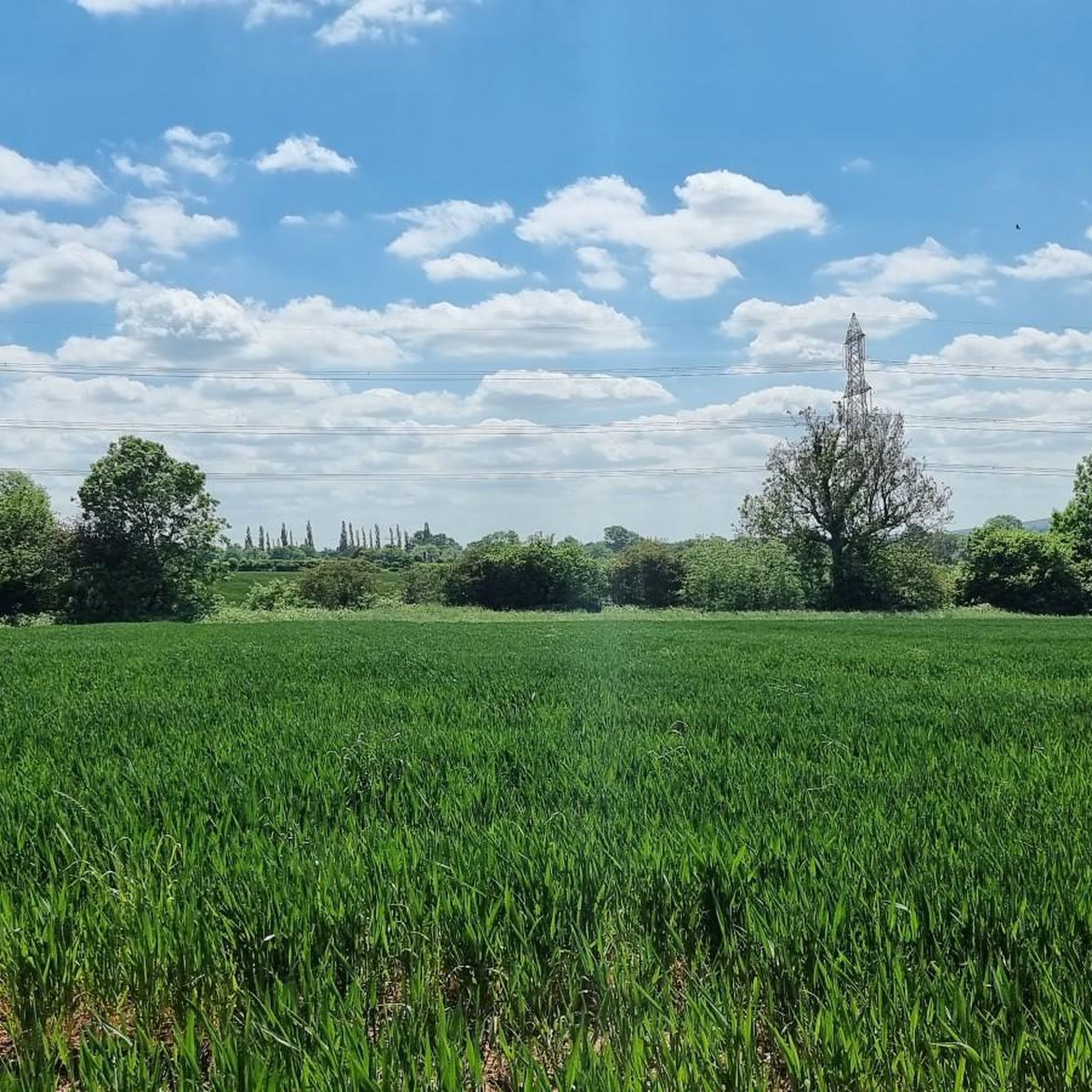
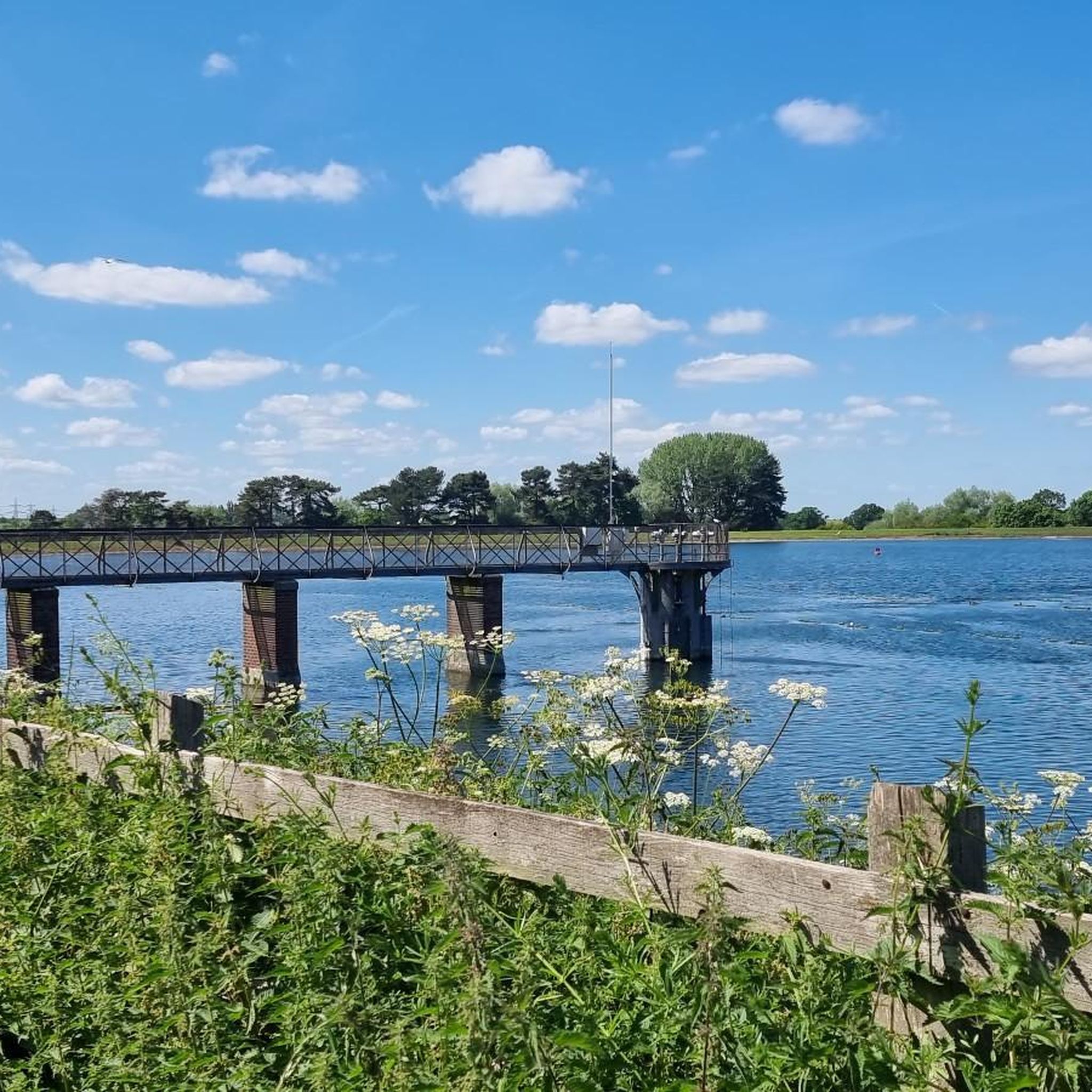
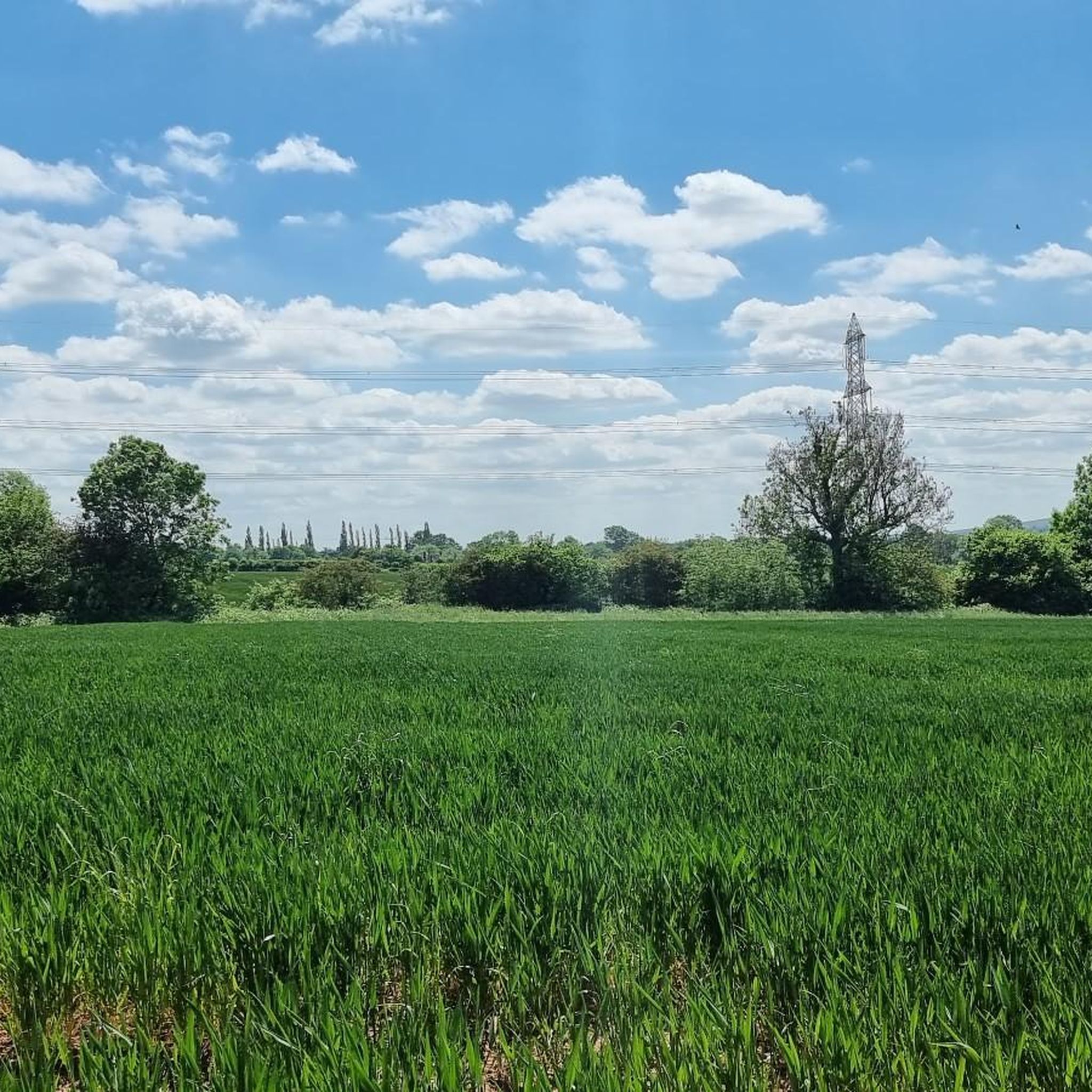
Tips from the Community

Popular junction of the Coventry canal which passes over the river Tame just past the junction.. Travel towards Birmingham and you will pass the famous white swing bridge near Drayton Bassett and Drayton Manor. Walk along the canal to Middleton lakes RSPB site, Middleton Hall and Kingsbury water park.
0
0

Such a towpath (known in German as a towpath or Leinpfad), which runs alongside the river or canal, was an essential part of the transport infrastructure in earlier times. Before ships could move by motor power, horses walked along the bank, pulling the boat against the current. This activity was called "treideln" in German, and thus the "treidelpfad" got its name. Where these paths – running directly along the bank – have survived to this day, they no longer serve their original purpose, but are still popular: namely, with hikers and cyclists.
0
0
Such a towpath (known in German as a towpath or Leinpfad), which runs alongside the river or canal, was an essential part of the transport infrastructure in earlier times. Before ships could move by motor power, horses walked along the bank, pulling the boat against the current. This activity was called "treideln" in German, and thus the "treidelpfad" got its name. Where these paths – running directly along the bank – have survived to this day, they no longer serve their original purpose, but are still popular: namely, with hikers and cyclists.
0
0
Rivers and canals crisscross the country, as they were a crucial part of the transport infrastructure – especially in the early days of industrialization. Factories needed the delivery of raw materials in previously unknown quantities, and finished goods also had to find their way to traders. Many of the canals originated in this era. Later, rail and, even later, trucks took over the task of transporting goods. When building the artificial waterways, however, it was important to consider that differences in elevation always had to be overcome, and so locks are often located along the canals – at varying intervals, depending on the local situation. Only with their help was shipping possible.
0
0


This is a pretty stone bridge over the Birmingham and Fazeley Canal with a walkway beneath. Following on from the bridge is Minworth Locks, which allows canal boats to pass.
1
0

Nicknamed the Curly Wyrley, the Wyrley & Essington Canal meanders peacefully through the English Midlands. It has few boats, but it is popular with recreational walkers, runners and cyclists.
0
0

There are narrow barriers where the trail crosses the main road. Lovely leafy trail for cyclists and hikers - be mindful of people walking dogs
0
0
Frequently Asked Questions
What kind of terrain can I expect on gravel bike trails around Shustoke?
Gravel biking around Shustoke offers a mix of tranquil watersides, historic routes, and varied countryside paths. You'll encounter both unpaved and paved sections, with some segments being challenging. The broader Warwickshire countryside is characterized by its leafy, working country aesthetic.
Are there any easy gravel bike routes suitable for beginners in Shustoke?
Yes, there are routes suitable for beginners. For example, the Coventry Canal – Rural Downhill Road loop from Atherstone is an easy 16.1-mile path that follows the Coventry Canal, offering a relatively flat and scenic ride through rural areas.
What are some notable landmarks or points of interest I can see along gravel bike routes in Shustoke?
Many routes offer scenic views and pass by interesting sites. You might encounter the historic Maxstoke Priory Ruins, or enjoy the tranquil environment of Shustoke Reservoir, known for its wildflower displays. The Tame Valley Wetlands Community Wetland is another significant natural feature providing habitat for wildlife.
What do other gravel bikers enjoy most about gravel biking in Shustoke?
The routes in Shustoke are highly rated by the komoot community, with an average score of 4.5 stars from over 7 reviews. Riders often praise the diverse landscapes, from tranquil watersides to historic paths, and the mix of unpaved and paved sections that cater to different preferences.
Are there any longer or more challenging gravel bike routes near Shustoke?
For those seeking a longer and more challenging ride, the Engine Arm Aqueduct – Galton Tunnel loop from Erdington is a difficult 47.4-mile route that includes significant elevation gains and takes over 5 hours to complete.
Are there options for circular gravel bike routes in the Shustoke area?
Yes, many routes are designed as loops. For instance, the Drayton Gothic Footbridge – Curdworth Locks loop from Chester Road is a 28.3-mile circular trail that takes you through canal-side environments and countryside.
What is the best time of year to go gravel biking in Shustoke?
Shustoke offers enjoyable gravel biking throughout much of the year. While some sections around Shustoke Reservoir can become muddy in autumn and winter, the diverse terrain means there are always options. Spring and summer are ideal for wildflowers and drier paths, but the leafy countryside can be beautiful in autumn too.
Are there any gravel bike routes that pass by canals or waterways?
Absolutely. Many routes in the area incorporate canal paths. The Perry Barr Locks – Canal Path Near Birmingham loop from Chester Road is a popular 39.8-mile trail featuring extensive canal paths and urban green spaces.
Can I find places to eat or drink near the gravel bike trails in Shustoke?
While specific cafes or pubs directly on every trail aren't listed, Shustoke village and nearby hamlets offer amenities. The region's character includes a 'working country aesthetic,' suggesting local establishments are available for refreshments after your ride.
Are there any routes that offer views of Birmingham Airport?
Yes, for a unique perspective, consider the Birmingham Airport Viewpoint – Knowle Locks loop from Water Orton. This moderate 40-mile route includes a viewpoint of Birmingham Airport as part of its journey.
Is public transport an option for accessing gravel bike trails around Shustoke?
While specific public transport links to every trailhead are not detailed, Shustoke is a village in North Warwickshire, and the broader region has connections. For detailed public transport information, it's advisable to check local bus or train schedules for routes connecting to Shustoke or nearby towns like Atherstone or Chester Road, which are starting points for some tours.
What is the average length and duration of gravel bike routes in Shustoke?
The routes vary significantly in length and duration. You can find shorter, easier rides like the 16.1-mile Coventry Canal loop taking under 2 hours, up to longer, more challenging routes like the 47.4-mile Engine Arm Aqueduct loop which can take over 5 hours to complete.
Most popular attractions around Shustoke

Get inspired with the komoot mobile app


Explore more
Browse the best Gravel rides in other regions.
