The best gravel rides around Syerston
4.4
(11)
80
riders
5
rides
Gravel biking around Syerston, Nottinghamshire, offers diverse terrain suitable for various skill levels. The region is characterized by a mix of natural features, including the River Trent to the west and varied landscapes across Nottinghamshire. Historical elements, such as the ancient Longhedge Lane, provide unique paths for exploration. The area's topography includes gentle gradients and more challenging ascents like the Oxton Bank Climb, a notable hill in the vicinity.
Best gravel bike trails around Syerston
- The most popular gravel bike…
Last updated: July 3, 2026
4.3
(3)
4
riders
35.9km
02:45
220m
220m
Hard gravel ride. Good fitness required. You may need to push your bike for some segments of this route.
3.5
(2)
20
riders
52.2km
03:29
370m
370m
Moderate gravel ride. Good fitness required. Mostly paved surfaces. Suitable for all skill levels.

Sign up for free
4.8
(5)
41
riders
39.0km
02:04
180m
180m
Moderate gravel ride. Good fitness required. Mostly paved surfaces. Suitable for all skill levels.
5.0
(1)
3
riders
55.7km
03:01
290m
290m
Moderate gravel ride. Good fitness required. Mostly paved surfaces. Suitable for all skill levels.
3
riders
15.3km
00:56
120m
120m
Easy gravel ride. Great for any fitness level. Mostly paved surfaces. Suitable for all skill levels.
Our route recommendations are based on thousands of hikes, rides, and runs completed by other people on komoot.
Start today with a free account
Your next adventure awaits.
Login or Signup
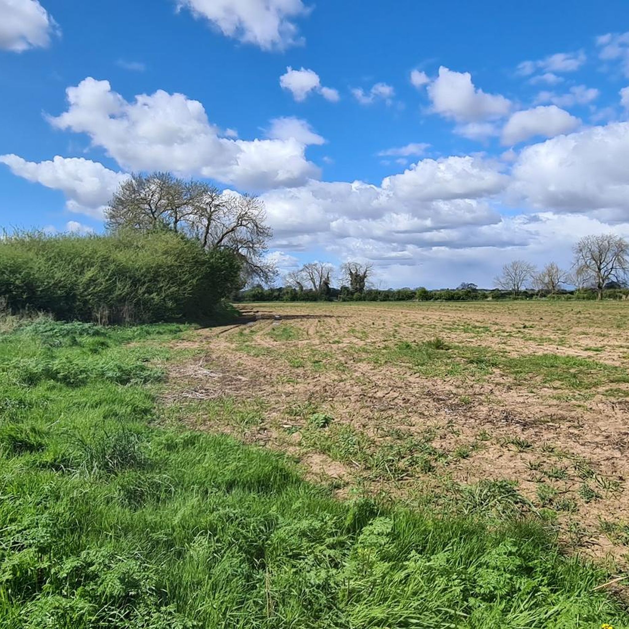
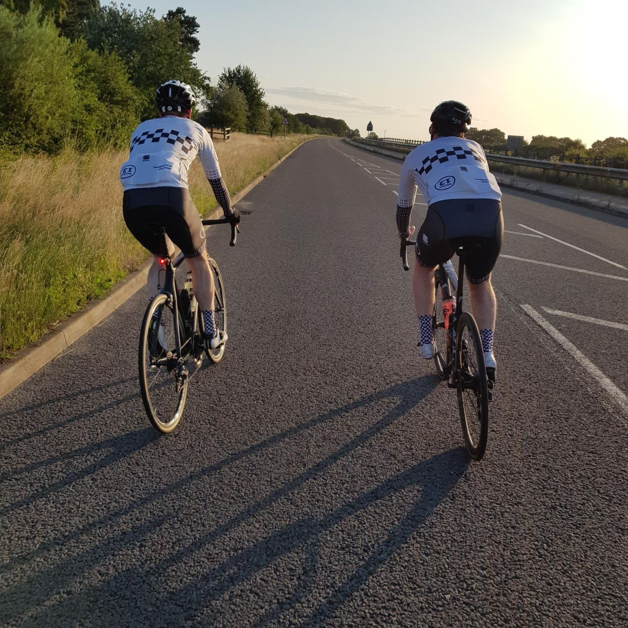
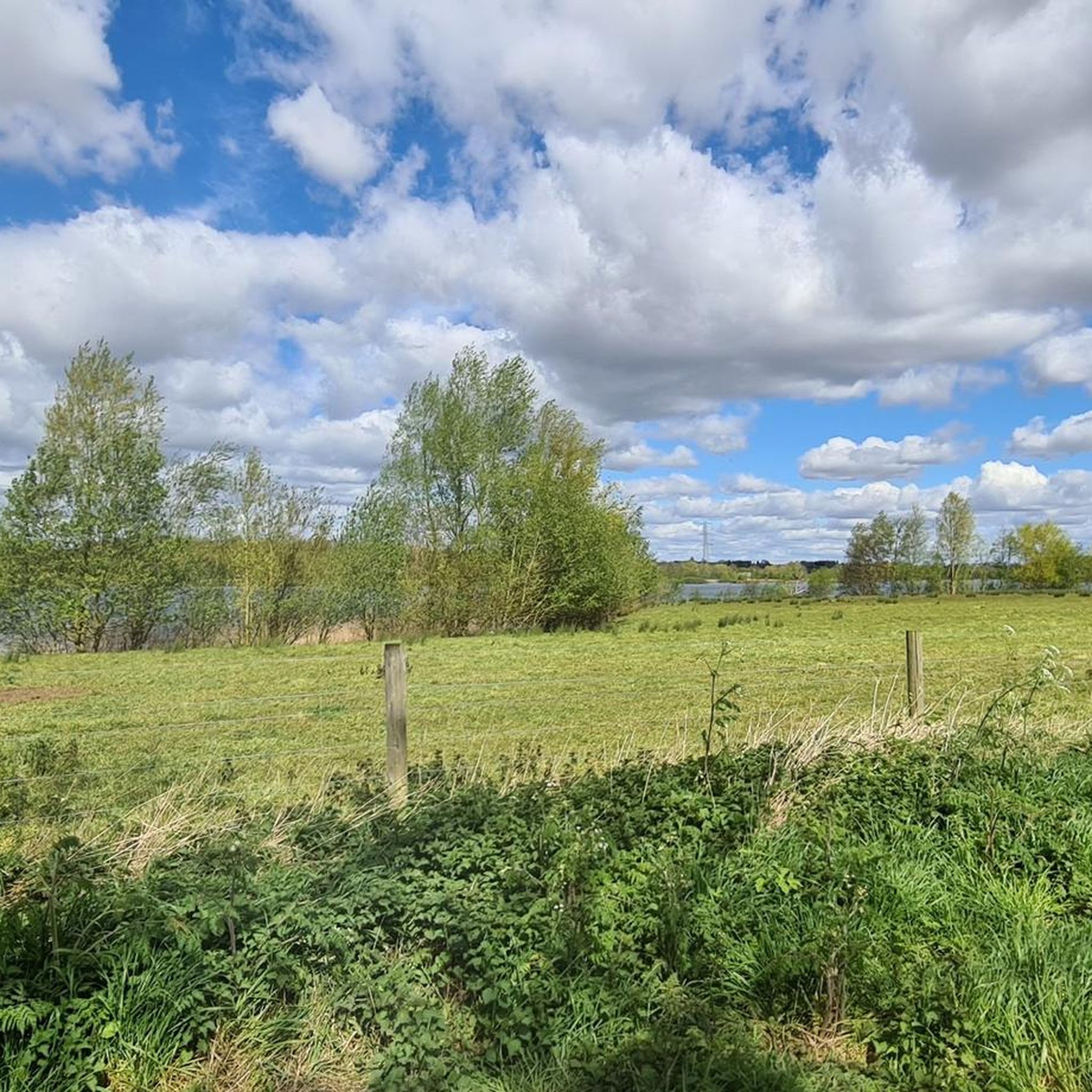
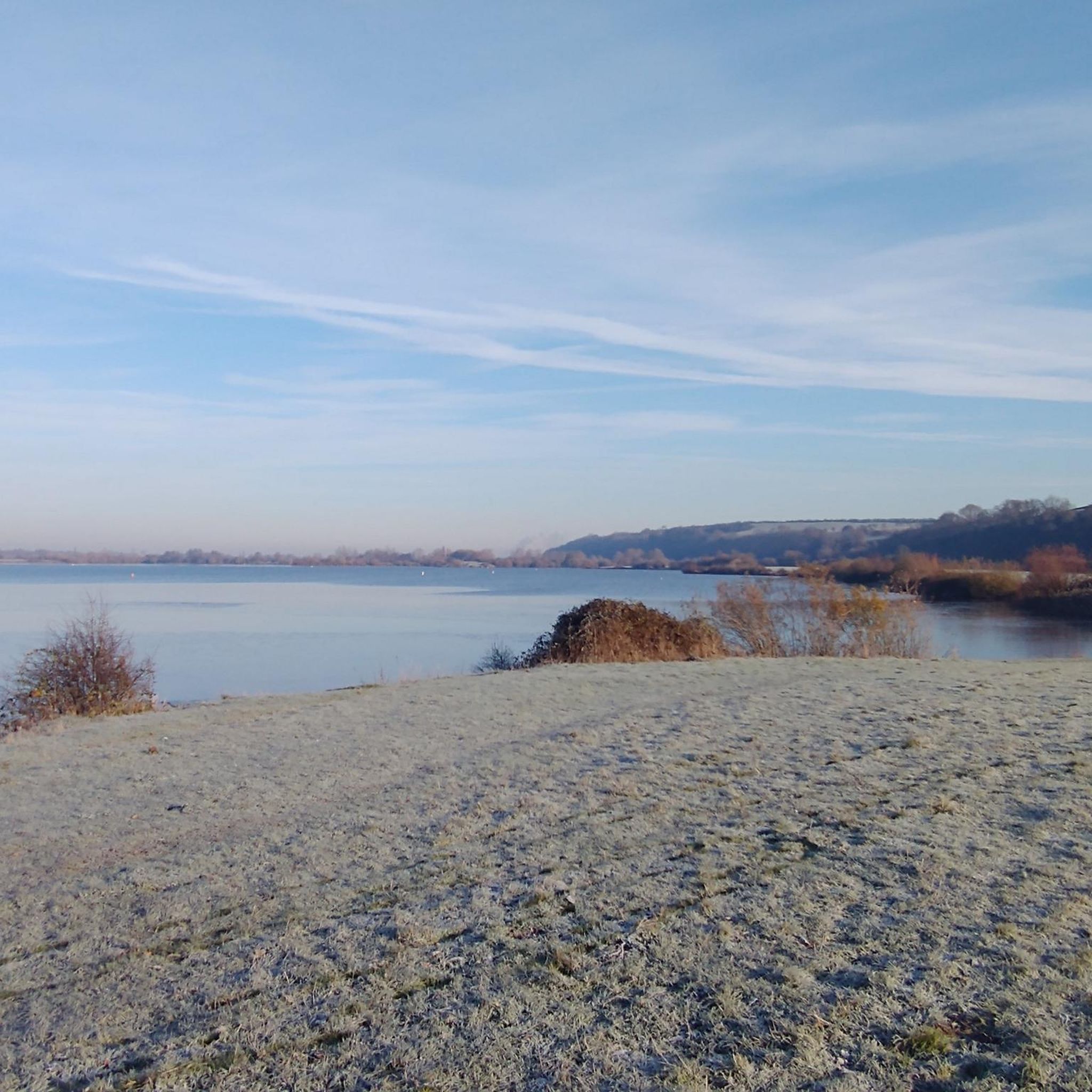
Tips from the Community

It was a little further and to the right from the location on the map. Found a pair of pants there. 10/10
0
0


lovely canal bridge, head left along disused section of canal to pick up old railway line towards newark.
0
0

If you into war history the memorial at the gliding club is worth checking out, the Viking way itself is part of the 130 mile route which goes right upto the Humber estuary and this section hosts the Viking challenge each year in October when it’s usually very muddy
1
0

One of the top 100 climbs. Fairly short and ramps up as you go easing off after the s bend
0
0

Watch out with your pedals, as the two big rocks are very close together.
1
0


Frequently Asked Questions
How many gravel bike trails are available around Syerston?
There are over 10 gravel bike routes around Syerston listed on komoot, offering a variety of experiences for different skill levels. These routes have been explored by more than 70 gravel bikers in the community.
What kind of terrain can I expect on gravel bike trails near Syerston?
The terrain around Syerston is quite varied, ranging from paths near the River Trent to historical trackways like Longhedge Lane. You'll encounter a mix of natural landscapes and can expect both gentle gradients and more challenging ascents, such as the notable Oxton Bank Climb.
Are there any easy gravel bike routes suitable for beginners or families?
Yes, there are easy gravel routes available. For a shorter, more relaxed ride, consider the Tom Browns Brasserie – View of Lambley loop from Gunthorpe, which is an easy 15.4 km path with moderate elevation gain, perfect for a leisurely outing.
What are some challenging gravel biking options in the Syerston area?
For those seeking a challenge, the Bilsthorpe & the Southwell Trail loop from Southwell is a difficult 35.9 km trail with significant elevation. The Oxton Bank Climb itself is also known as the biggest hill in that part of Nottinghamshire, offering a demanding ascent.
Are there any circular gravel bike routes around Syerston?
Yes, many of the gravel routes in the area are circular. For example, the popular Vicar Water Lake – Vicar Water Lake loop from Southwell CP is a circular 39.0 km trail that takes you through a mix of natural and managed landscapes.
What landmarks or attractions can I see along the gravel trails?
While cycling, you might pass by several interesting points. The Oxton Bank Climb offers expansive views. Nearby, you can also explore historical sites like Southwell Minster or the Newark Castle Ruins, which are set by the River Trent.
What do other gravel bikers enjoy most about the routes near Syerston?
The gravel biking routes around Syerston are highly rated by the komoot community, with an average score of 4.4 stars from over 10 reviews. Riders often praise the varied terrain, the scenic views, and the mix of historical features found along the paths.
Are there any routes that pass through forests or natural parks?
Yes, some routes venture into forested areas. The Sherwood Pines Trail Centre – Outlaw MTB Trail Start loop from Rolleston is a moderate 55.7 km route that takes you near Sherwood Pines, offering a great experience through woodland trails.
What is the best time of year for gravel biking in Syerston?
Syerston offers good gravel biking opportunities throughout much of the year. However, spring and autumn often provide the most pleasant conditions with milder temperatures and beautiful scenery. Always check local weather conditions, especially during winter, as some paths might become muddy.
Are there places to stop for refreshments or food along the trails?
Yes, the region has options for refreshments. Some routes, like the Tom Browns Brasserie – View of Lambley loop from Gunthorpe, are named after local establishments, indicating potential stops. The region research also mentions an eco-centre with outdoor seating and designated bike racks, suggesting cyclist-friendly spots.
What is the average distance and elevation gain for gravel routes in this area?
The gravel routes around Syerston vary significantly. Distances range from around 15 km for easier rides to over 55 km for more challenging ones. Elevation gains also differ, with some routes having over 100 meters of ascent, while others, like the Woolsthorpe Middle Lock – Terrace Hill loop from Bottesford, feature over 370 meters of climbing.
Most popular attractions around Syerston

Get inspired with the komoot mobile app


Explore more
Browse the best Gravel rides in other regions.
