The best gravel rides around Whitehill
4.8
(22)
230
riders
29
rides
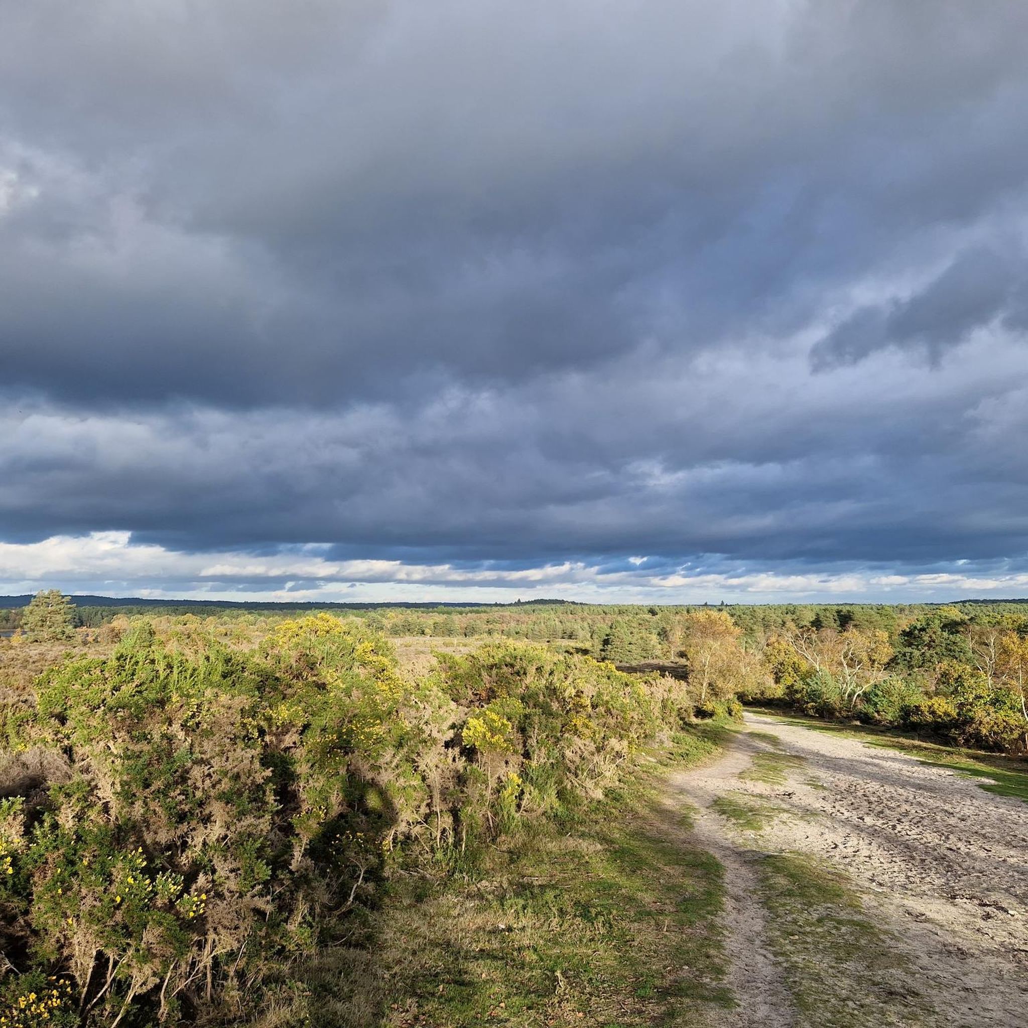
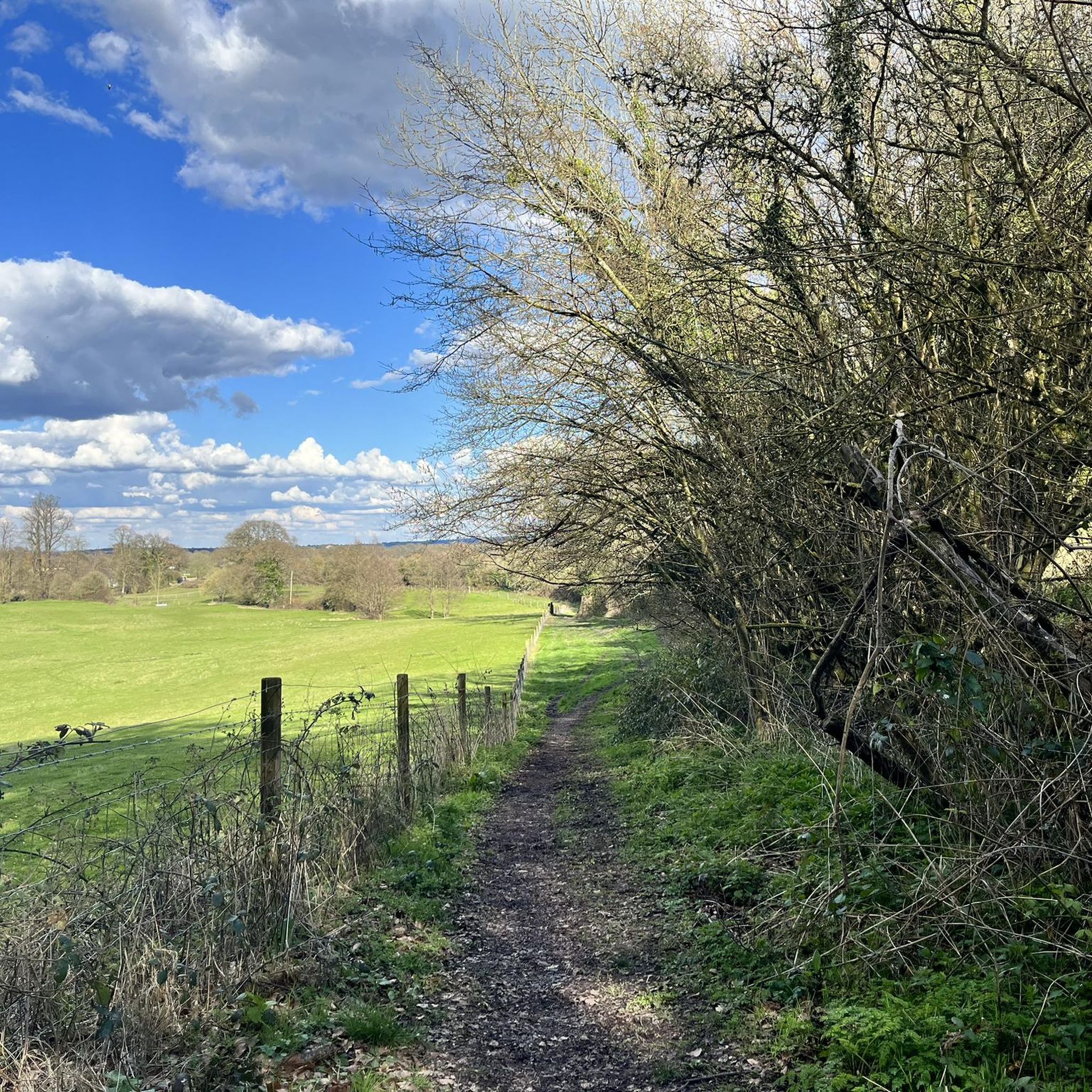
Gravel biking around Whitehill offers a network of routes traversing varied terrain, including former railway paths, open downland, and extensive woodlands. The region is characterized by its rolling hills and a mix of natural surfaces, providing diverse conditions for gravel cyclists. These trails often follow established fire roads and tracks through areas like the Longmoor Ranges and Harting Down. The landscape provides both challenging climbs and more gentle, scenic sections suitable for different skill levels.
Best gravel bike trails around…
Last updated: October 19, 2026
4.4
(10)
132
riders
74.9km
05:11
950m
950m
Hard gravel ride. Very good fitness required. Mostly paved surfaces. Suitable for all skill levels.
5.0
(3)
12
riders
72.4km
05:17
1,130m
1,130m
Hard gravel ride. Very good fitness required. Mostly paved surfaces. Suitable for all skill levels.

4.0
(1)
14
riders
Moderate gravel ride. Good fitness required. Mostly paved surfaces. Suitable for all skill levels.
21
riders
Moderate gravel ride. Good fitness required. Mostly paved surfaces. Suitable for all skill levels.
8
riders
44.9km
03:13
710m
710m
Hard gravel ride. Very good fitness required. Mostly paved surfaces. Suitable for all skill levels.
Get access to more routes and recommendations from other explorers.
Already have an account?
Our route recommendations are based on thousands of hikes, rides, and runs completed by other people on komoot.
Start today with a free account
Your next adventure awaits.
Tips from the Community

Fantastic stop to refuel, sit indoors in the shade or outside for the views. Full of cakes, toasties & great coffee. Water tap on building too to refill plus a tool station for bikes if needed. Staff were fab too.
0
0


Watch out for deer. Saw 2 young ones running down the road towards me near the summit. They dived through the hedge as they got close
0
0


An idyllic country pub away from it all. There is seating indoors and outdoors, and the pub is open 12:00-15:00 Tuesday to Sunday. Also Saturday evenings 18:00-21.30.
0
0

A perfect mid ride stop on the outskirts of Petersfield, bike friendly, cash only.
0
0
Frequently Asked Questions
How many gravel bike trails can I find around Whitehill?
Whitehill offers a diverse network of around 35 gravel bike trails. These routes traverse varied terrain, including former railway paths, open downland, and extensive woodlands, catering to different skill levels.
Are there any easy gravel bike routes suitable for beginners or families?
Yes, Whitehill has several easy gravel bike routes. For a gentle introduction, consider the Liss Riverside Railway Path – Longmoor Ranges Fire Roads loop from Liss, which is 23.7 km long and features minimal elevation gain, making it suitable for a relaxed ride.
What are some options for longer gravel bike rides in the Whitehill area?
For those seeking a longer challenge, the Great Ridge Trail – Harting Down loop from Liphook is a substantial 72.6 km route. It features significant elevation gain through varied downland and woodland sections, offering a demanding yet rewarding experience.
Are there any circular gravel bike routes around Whitehill?
Many of the gravel bike trails in Whitehill are designed as loops, allowing you to start and finish at the same point. An example is the Longmoor Ranges Fire Roads – Woolmer Ranges Gravel Track loop from Kingsley, a moderate 35.9 km path that navigates through former military training areas.
What kind of scenic views can I expect on Whitehill's gravel trails?
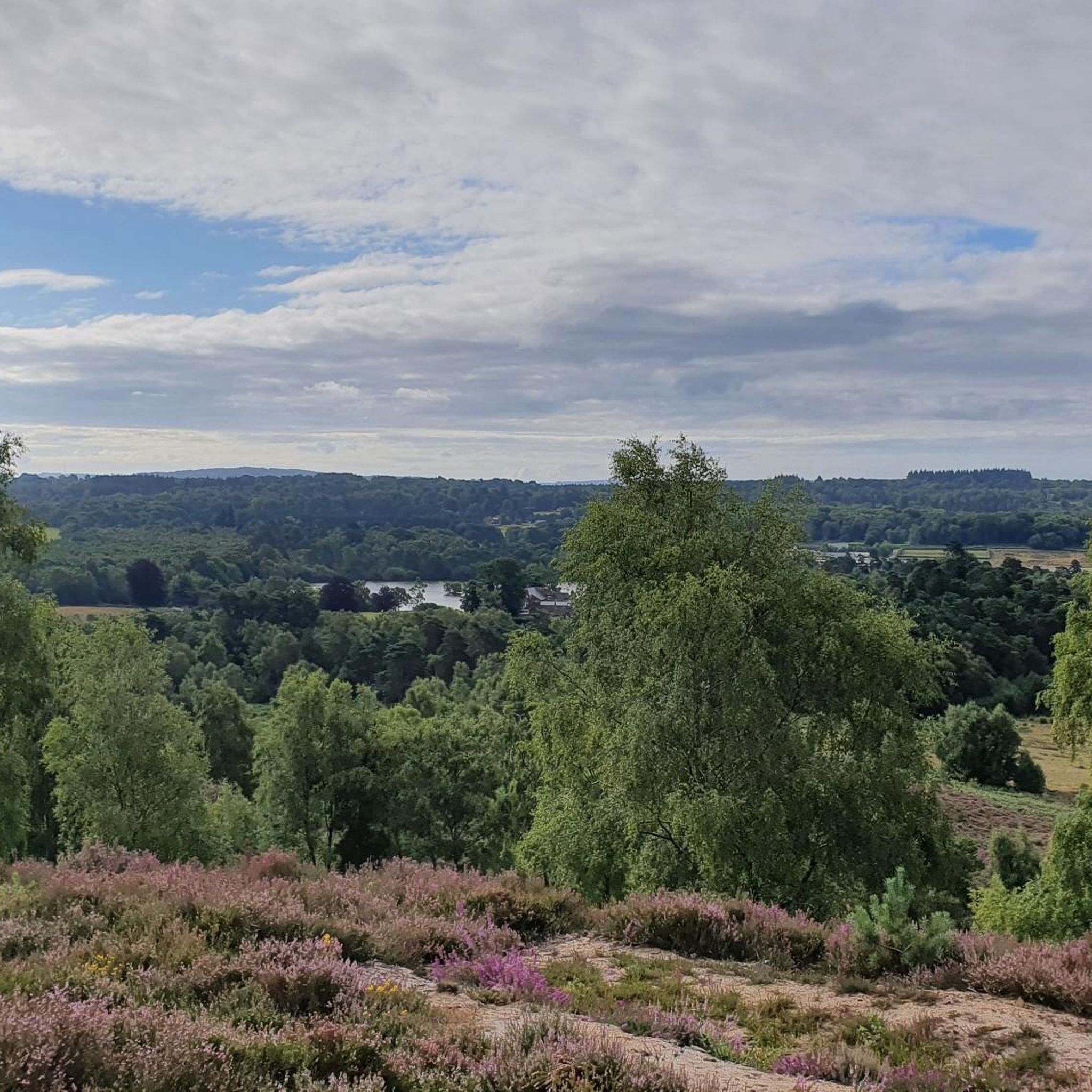
The trails around Whitehill offer a variety of scenic views, from open downland vistas to tranquil woodland paths. You can also find viewpoints like Gibbet Hill Viewpoint and View from Weatham Hill Trig Point, which provide expansive panoramas of the surrounding landscape.
Are there any interesting landmarks or natural attractions along the routes?
Yes, Whitehill's gravel routes can lead you past several points of interest. You might encounter historical sites like Torberry Hill Iron Age Hillfort, or natural beauty spots such as Frensham Little Pond and Folly Pond.
What is the best season for gravel biking in Whitehill?
Gravel biking in Whitehill is enjoyable throughout much of the year. Spring and autumn offer pleasant temperatures and vibrant scenery. Summer provides longer daylight hours, while winter rides can be invigorating, though some paths might be muddier or require more robust tires due to potential wet conditions.
Are there any advanced or challenging gravel bike trails in Whitehill?
Yes, Whitehill has 13 difficult routes for experienced gravel bikers. The Liss Riverside Railway Path – Marley Common loop from Liss, for instance, is a 43.0 km trail with significant elevation, providing a good test of endurance and skill.
What do other gravel bikers say about the trails in Whitehill?
The gravel trails in Whitehill are highly regarded by the komoot community, boasting an average rating of 4.6 stars from over 20 reviews. Many riders praise the varied terrain, from former railway paths to challenging downland sections, and the well-maintained fire roads through woodlands.
Is public transport available to access the gravel trails around Whitehill?
While Whitehill itself is a smaller area, nearby towns like Liss and Liphook, which serve as starting points for several routes, have train stations with connections to larger networks. From these points, you can often cycle directly onto the trails or find local bus services.
Are there opportunities for cafe stops or refreshments along the gravel routes?
Many routes pass through or near villages and towns where you can find cafes, pubs, or shops for refreshments. Planning your route in advance allows you to identify suitable stops, especially on longer rides, to refuel and relax.
What are the typical elevation gains on gravel bike routes in Whitehill?
Elevation gains vary significantly across Whitehill's gravel routes, reflecting the region's rolling hills. Easy routes might have around 100-150 meters of ascent, while more difficult trails, such as the Liss Riverside Railway Path – Woolmer Ranges Gravel Track loop from Liss, can feature over 150 meters, and the most challenging can exceed 1000 meters.
Most popular routes around Whitehill
Most popular attractions around Whitehill

Get inspired with the komoot mobile app


Explore more
Browse the best Gravel rides in other regions.
