The best gravel rides around Broomfield
5.0
(1)
6
riders
4
rides
Gravel biking around Broomfield offers a diverse network of trails across its shortgrass prairie ecosystem. The region features extensive open spaces, lakes, and creeks, creating varied terrain for riders. Riders can expect panoramic views of the Flatirons and the Colorado Rocky Mountains. Broomfield's trail system includes both wide, smooth gravel paths and sections with more technical challenges.
Best gravel bike trails around Broomfield
- The most popular gravel bike trail is Bury Lane Ford – Woodland Gravel Path loop from St…
Last updated: July 3, 2026
5.0
(1)
4
riders
Easy gravel ride. Great for any fitness level. Mostly paved surfaces. Suitable for all skill levels.
1
riders
17.3km
01:06
100m
100m
Easy gravel ride. Great for any fitness level. Mostly paved surfaces. Suitable for all skill levels.

Sign up for free
1
riders
Moderate gravel ride. Good fitness required. Mostly paved surfaces. Suitable for all skill levels.
Easy gravel ride. Great for any fitness level. Mostly paved surfaces. Suitable for all skill levels.
Our route recommendations are based on thousands of hikes, rides, and runs completed by other people on komoot.
Start today with a free account
Your next adventure awaits.
Login or Signup
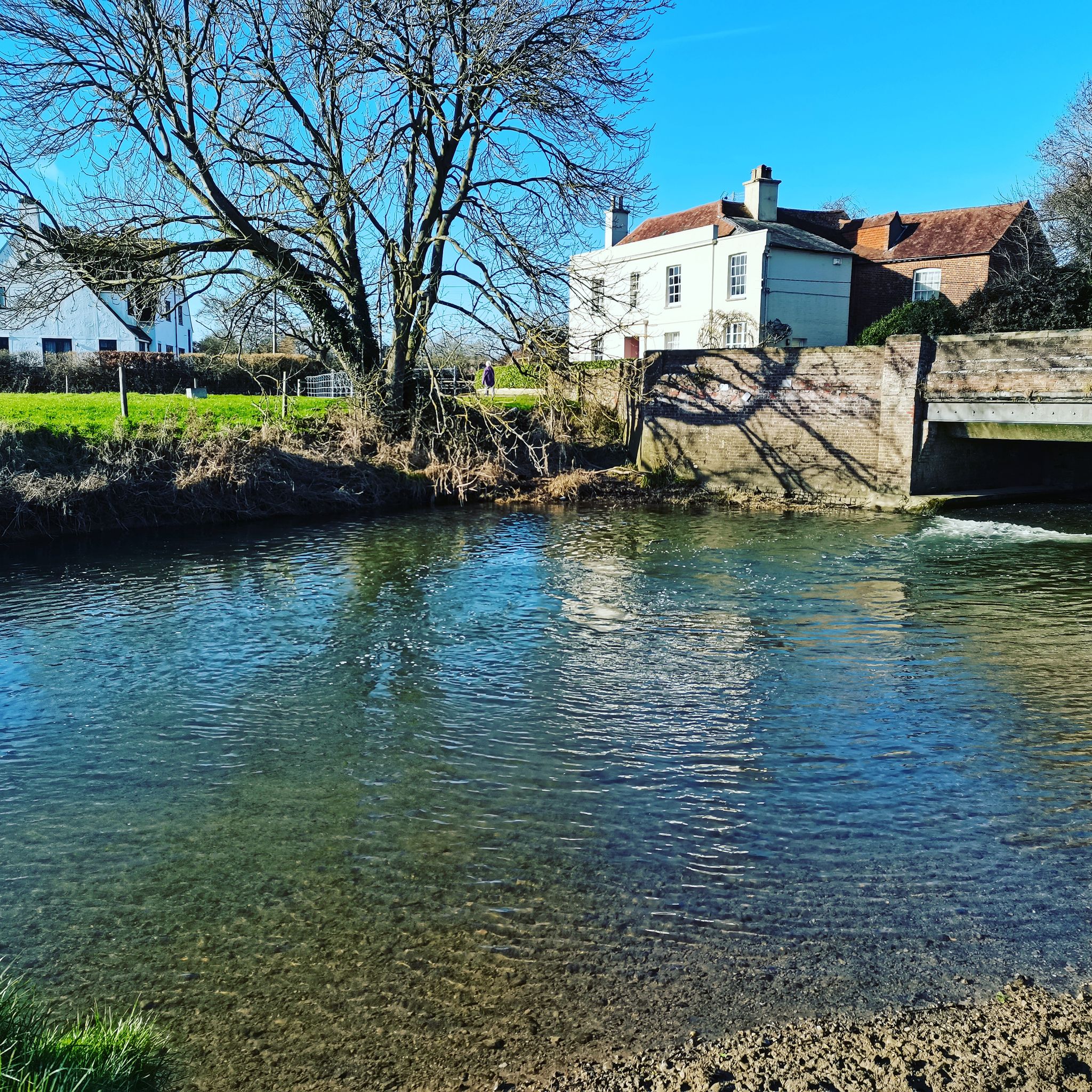
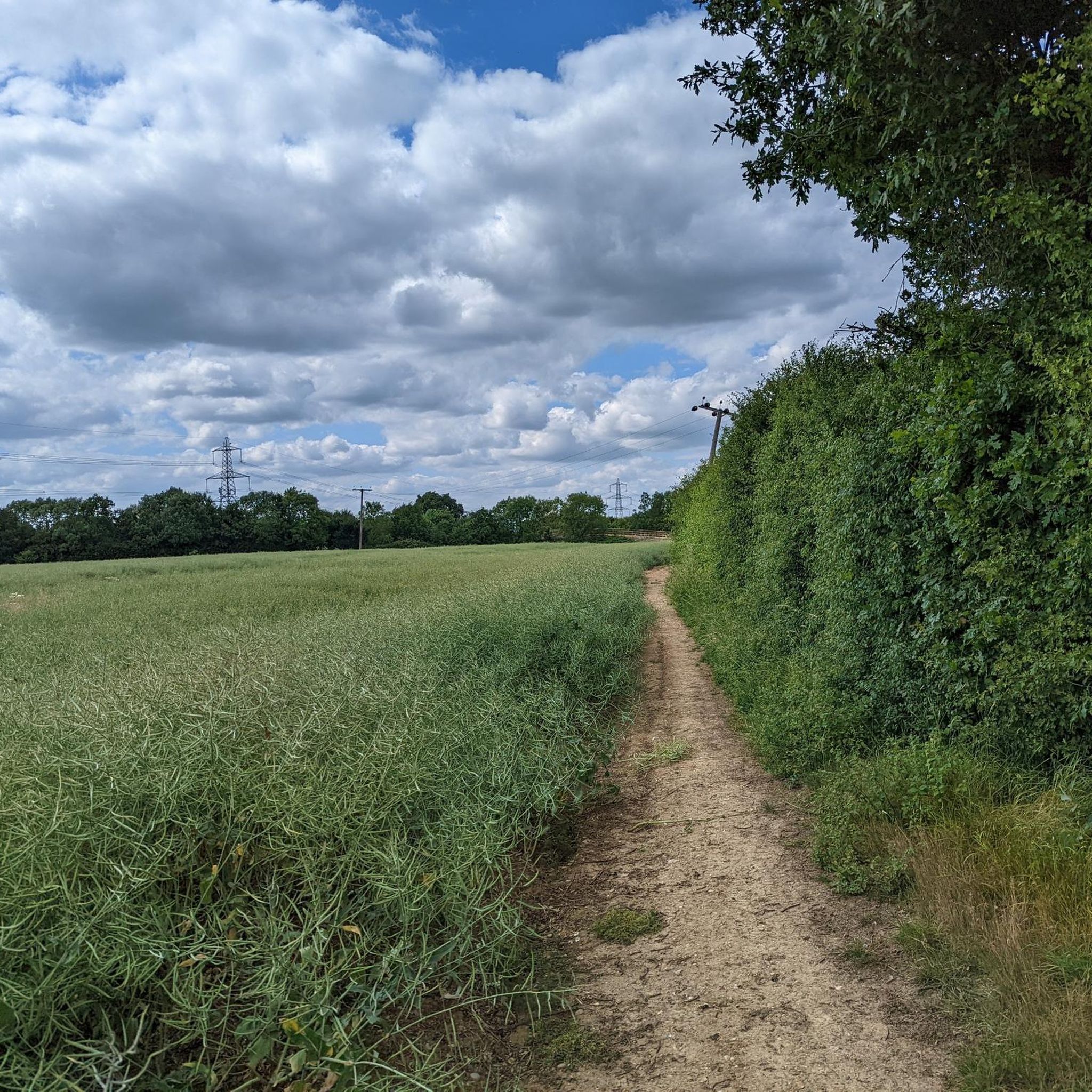
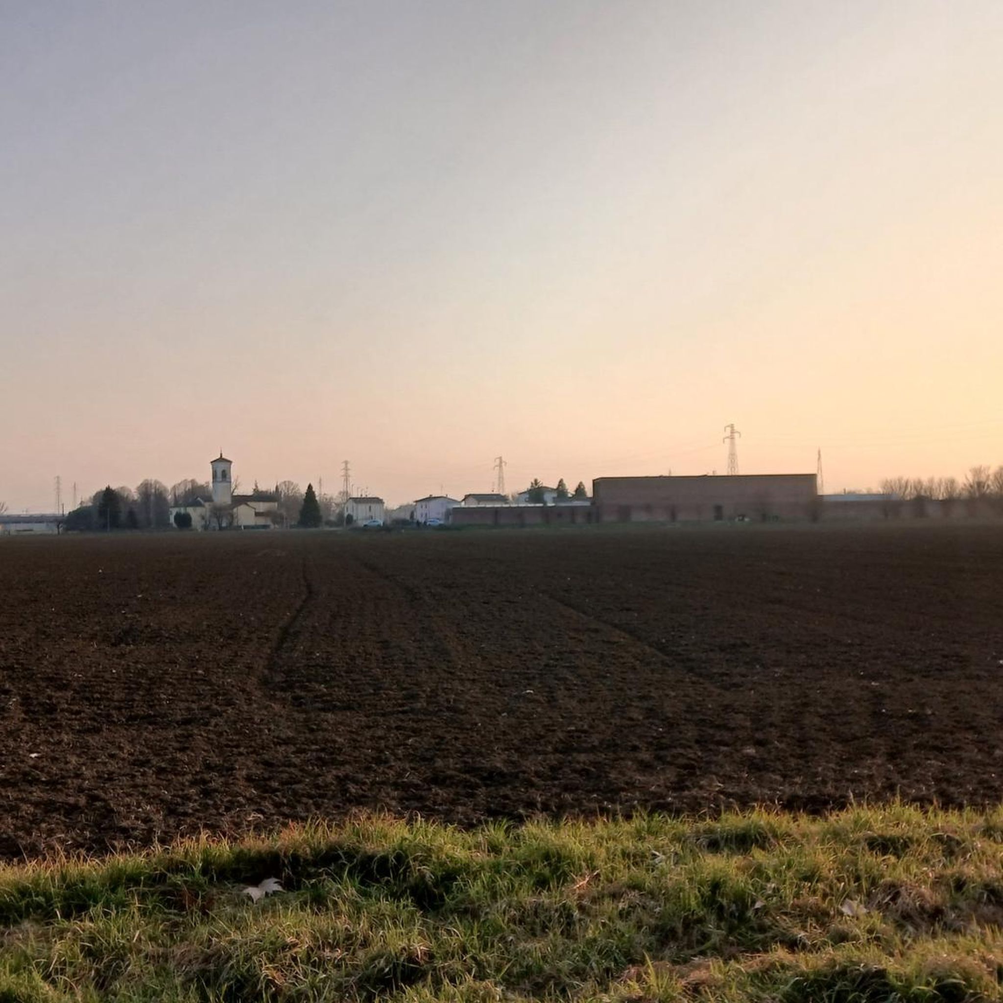
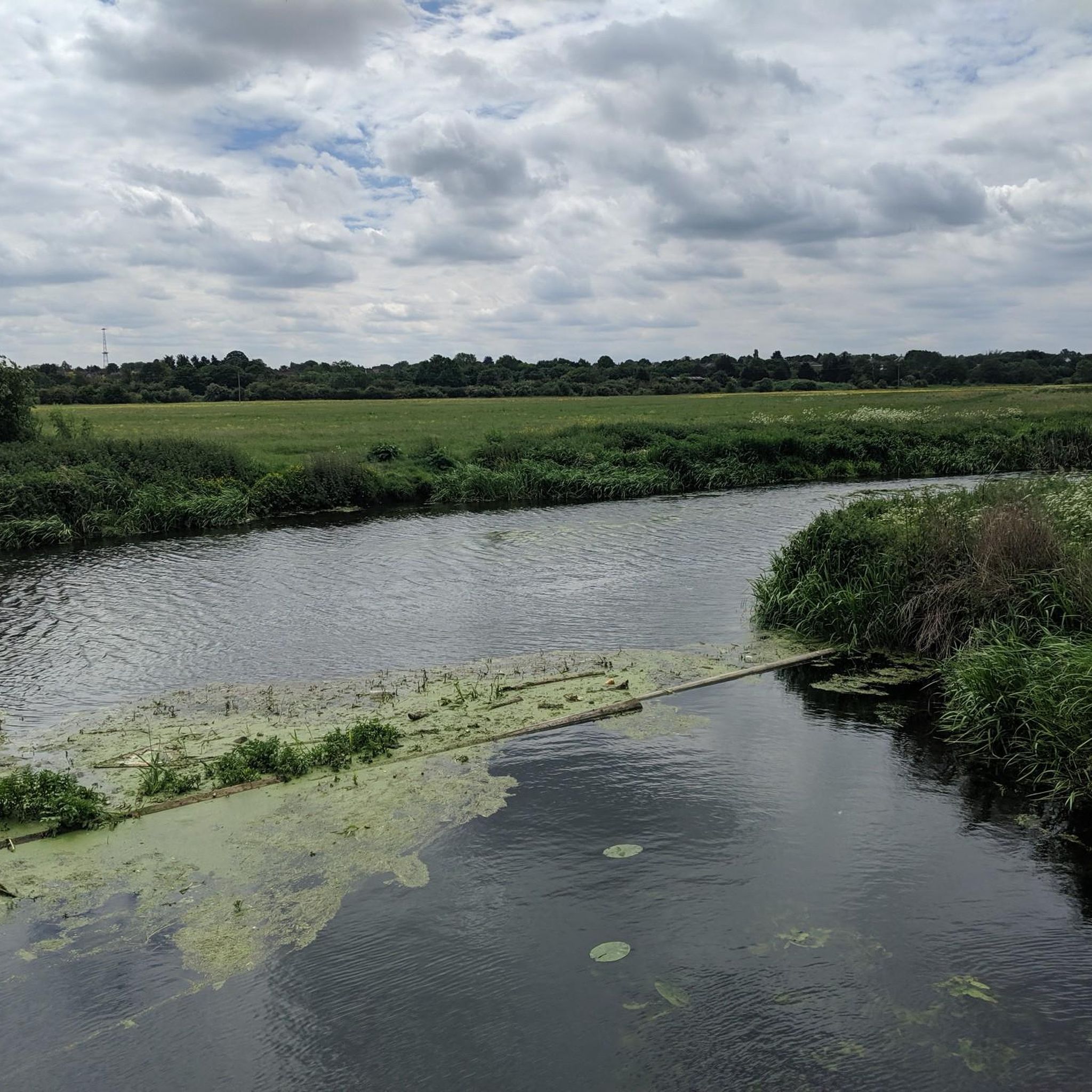
Tips from the Community

Brilliant cafe in High Easter - great place for a cafe stop on a ride through Essex. Well worth checking out
0
0


Approached from the north via a nice little gradient.
0
0


Frequently Asked Questions
What kind of terrain can I expect on gravel bike trails in Broomfield?
Broomfield's gravel bike trails offer a diverse experience, ranging from wide, smooth, fine gravel paths perfect for speed, to sections with more technical challenges, punchy climbs, and fast downhill sections. You'll ride through shortgrass prairie ecosystems, open spaces, and along lakes and creeks, often with stunning views of the Flatirons and the Colorado Rocky Mountains.
Are there any easy gravel bike trails suitable for beginners in Broomfield?
Yes, Broomfield offers several flatter, faster sections that are ideal for beginners. Trails like the Coal Creek Trail and Dry Creek Trails are known for their wide, smooth gravel surfaces, providing an accessible and enjoyable experience for those new to gravel biking.
Where can I find scenic viewpoints along Broomfield's gravel routes?
Many gravel routes in Broomfield reward riders with sweeping views of the Flatirons and foothills. The Davidson Mesa Overlook is a popular spot offering panoramic vistas. Additionally, trails around Standley Lake provide impressive mountain views, and routes through open spaces like Broomfield County Commons often feature picturesque landscapes.
How extensive is the trail network for gravel biking in Broomfield?
Broomfield boasts an extensive trail network, with 316 miles of trails and 8,469 acres of public and private open space. This provides numerous opportunities for gravel biking, connecting parks, open spaces, and even neighboring communities.
Are there any family-friendly gravel biking options in Broomfield?
Absolutely. Broomfield offers trails suitable for families, including the McKay Lake Nature Park which features a family-friendly bike park with jumps and tracks for all skill levels. Many of the flatter, less technical gravel paths are also great for family outings.
What natural features can I see while gravel biking in Broomfield?
While gravel biking in Broomfield, you can experience panoramic mountain views of the Flatirons and the snow-capped peaks of the Colorado Rocky Mountains. You'll also encounter the unique shortgrass prairie ecosystem, and ride alongside serene lakes and reservoirs such as Tom Frost Reservoir, Josh's Pond, and Standley Lake, as well as various creeks and open spaces.
Are there any bike-friendly amenities available on Broomfield's trails?
Yes, the Davidson Mesa Overlook, a popular spot with panoramic views, includes a convenient bike repair station. This ensures you have support if you encounter any minor issues during your ride.
What do other gravel bikers enjoy most about the trails in Broomfield?
The komoot community highly rates the gravel biking experience in Broomfield, with an average score of 4.2 stars from over 5 reviews. Riders often praise the diverse terrain, the stunning mountain views, and the extensive network of trails that cater to various skill levels.
Can I connect to other areas or trails from Broomfield's gravel routes?
Yes, Broomfield's trail system offers good connectivity. For example, the Lake Link Trail connects several parks, and the Big Dry Creek Trail spans 12 miles, passing through open spaces and linking to the US 36 Bikeway, which connects Denver and Boulder.
Are there any less crowded gravel bike trails in Broomfield?
While specific crowd levels can vary, trails like the Coal Creek Trail and Dry Creek Trails are noted for their wide, smooth surfaces, which can help distribute riders and offer a less congested experience compared to some foot traffic-heavy paths.
What are the typical distances for gravel bike routes in Broomfield?
The routes in Broomfield vary in length to suit different preferences. For instance, routes like The Cricketers – The Viper loop from Chelmsford covers 16.9 miles (27.2 km), while Pleshey Rolling Hills – Pleshey Village loop from Newlands Spring is 12.4 miles (20.0 km). There are options for shorter and longer rides within the extensive network.
Are there any circular gravel bike routes available in Broomfield?
Yes, many of the gravel biking options in Broomfield are designed as loops. Examples include Essex Way – Essex Way Trail loop from Good Easter and Rural Lanes and Farmland – Essex Way Trail loop from Ford End, allowing you to start and end your ride in the same location.
Most popular attractions around Broomfield

Get inspired with the komoot mobile app


Explore more
Browse the best Gravel rides in other regions.
