The best gravel rides around Upper Heyford
4.6
(16)
149
riders
10
rides
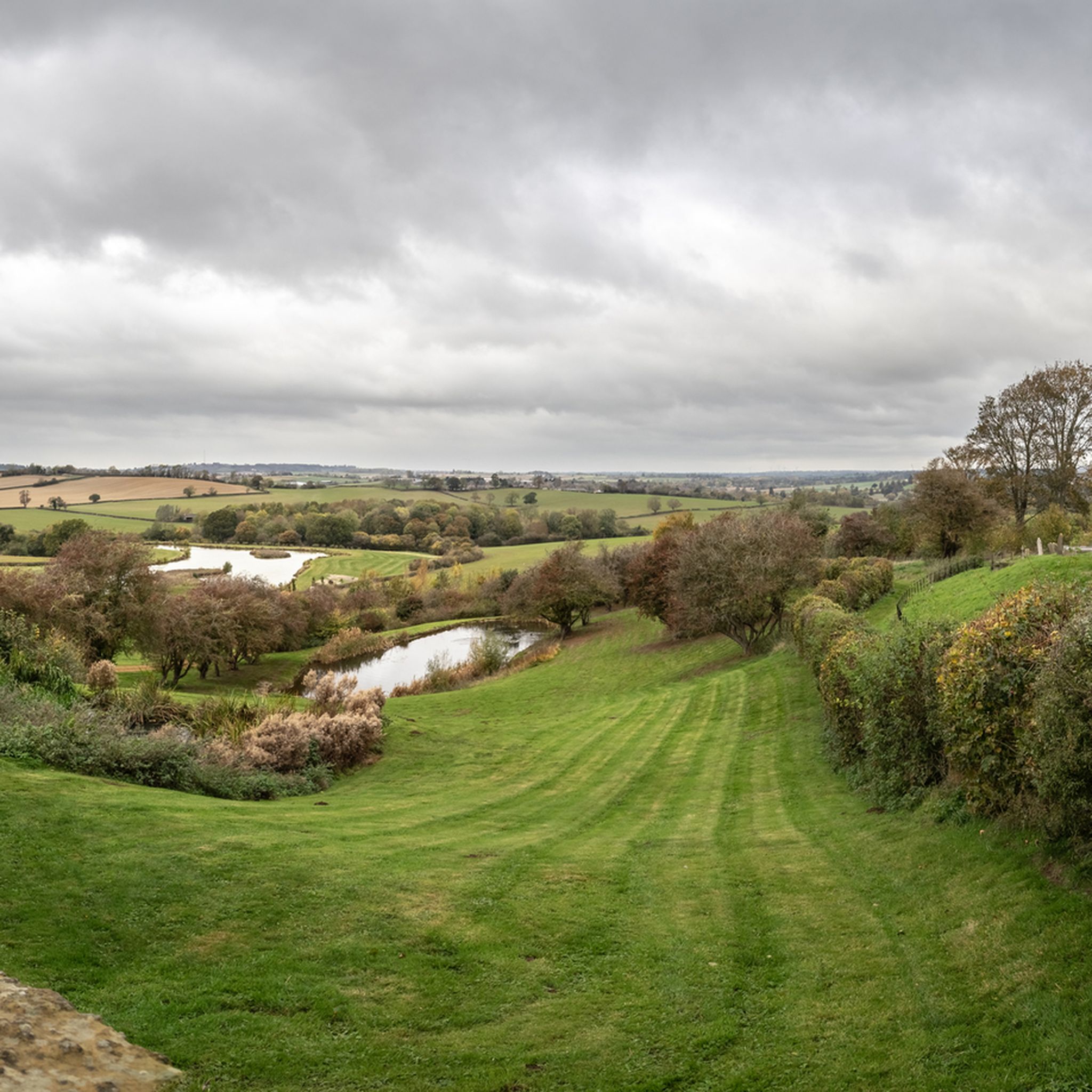
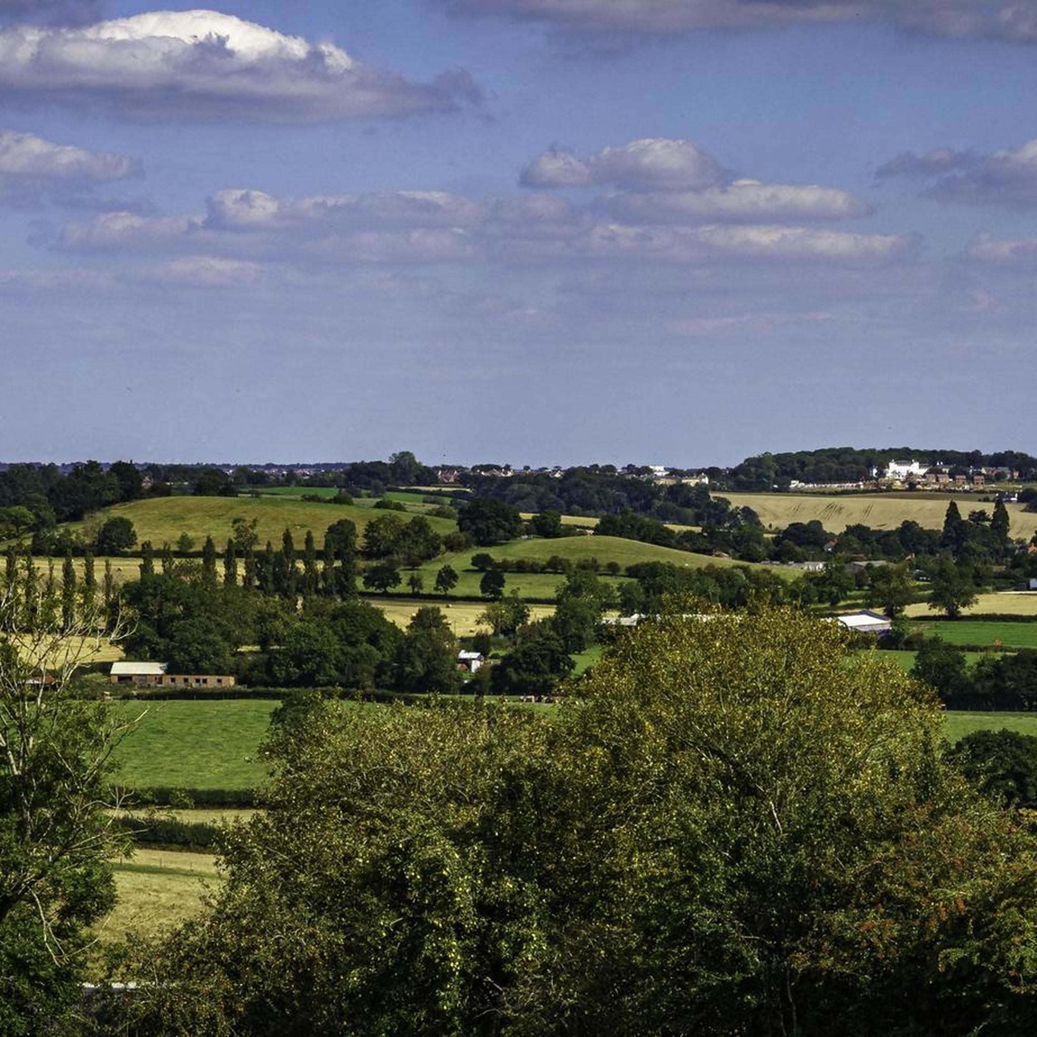
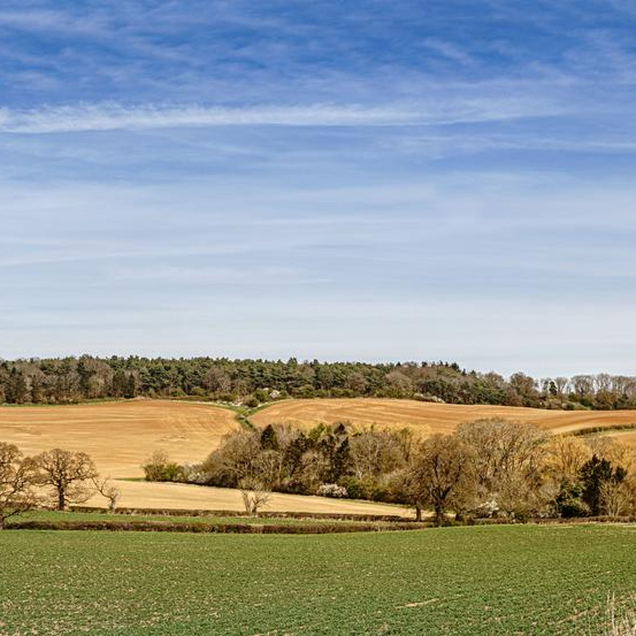
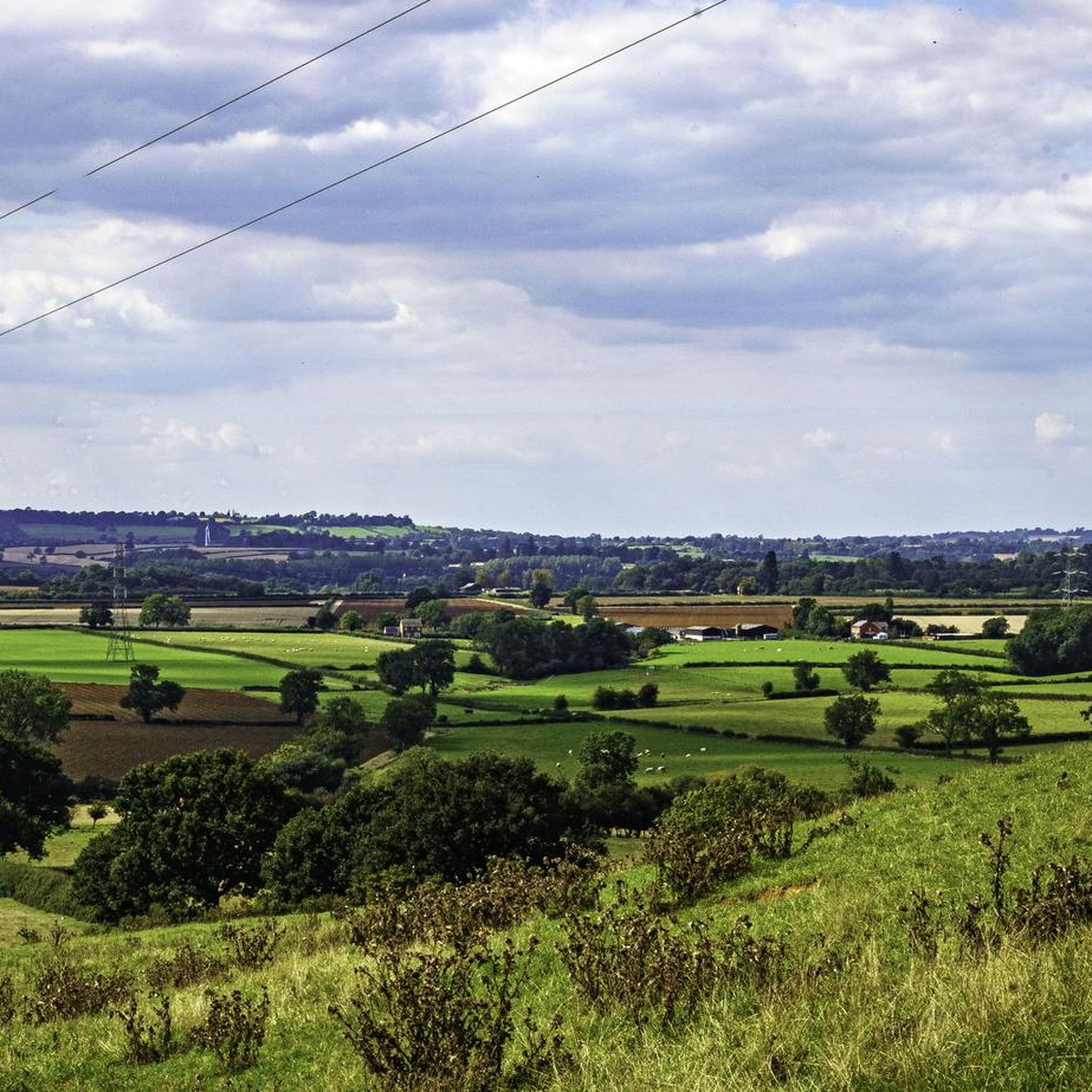
Gravel biking around Upper Heyford offers routes across an undulating limestone plateau, ranging from 120m to 140m AOD, providing expansive views. The terrain features a mix of intensive arable farmland, smaller grazing fields, and scattered deciduous woodlands. The River Cherwell and Oxford Canal meander through the area, offering picturesque riverside paths. A network of Public Rights of Way, including ancient routeways, provides accessible surfaces suitable for gravel bikes.
Best gravel bike trails around Upper Heyford
- The most popular gravel bike…
Last updated: July 3, 2026
3.0
(1)
21
riders
37.9km
02:10
270m
270m
Moderate gravel ride. Good fitness required. Mostly paved surfaces. Suitable for all skill levels.
4.8
(4)
56
riders
50.1km
02:40
230m
230m
Moderate gravel ride. Good fitness required. Mostly paved surfaces. Suitable for all skill levels.

Sign up for free
5.0
(3)
11
riders
Easy gravel ride. Great for any fitness level. Mostly paved surfaces. Suitable for all skill levels.
5.0
(1)
7
riders
67.0km
03:56
420m
420m
Moderate gravel ride. Good fitness required. Mostly paved surfaces. Suitable for all skill levels.
5.0
(2)
3
riders
36.5km
02:27
170m
170m
Moderate gravel ride. Good fitness required. Mostly paved surfaces. Suitable for all skill levels.
Get access to more routes and recommendations from other explorers.
Sign up for free
Already have an account?
Our route recommendations are based on thousands of hikes, rides, and runs completed by other people on komoot.
Start today with a free account
Your next adventure awaits.
Login or Signup
Tips from the Community


I stopped at Windmill Farm just past the Oxendon tunnel. Cafe serves full breakfast, cakes and snacks.
0
0

The Brampton Valley Way is a 14-mile (22 km) traffic-free trail between Northampton and Market Harborough, following a disused railway line. It’s popular with cyclists, walkers, and horse riders thanks to its mostly flat, scenic route through countryside and woodland. Two long, unlit tunnels at Kelmarsh and Oxendon add an adventurous twist – lights are essential. The surface is a mix of gravel and dirt, best suited to hybrid or mountain bikes.
0
0


The Bampton Valley Way is a 14-mile (22.5km) disused railway trail between Northampton and Market Harborough. It's a well surfaced multi-user trail, perfect for easy rides, families or as part of a commute. The trail follows a section of the old Northampton–Market Harborough railway line. It opened in 1859 and closed in 1981.
2
0

Opened on 1st May 1815, the Northampton Arm of the Grand Union Canal includes 17 locks and connects the canal with the River Nene in Northampton.
0
0

Frequently Asked Questions
What kind of terrain can I expect on gravel bike trails around Upper Heyford?
The terrain around Upper Heyford is characterized by a gently undulating limestone plateau, offering expansive views. You'll encounter a mix of intensive arable farmland, smaller grazing fields, and scattered deciduous woodlands. Many routes utilize the network of Public Rights of Way, including ancient routeways like the Port Way, which are suitable for gravel bikes. The area also features picturesque riverside paths along the River Cherwell and the Oxford Canal.
Are there gravel bike routes suitable for beginners or families in Upper Heyford?
Yes, Upper Heyford offers routes suitable for various ability levels. For an easier ride, consider the Brampton Valley Way – Brampton Valley Way loop from Kingsthorpe Meadow Nature Reserve, which is 17.6 miles (28.3 km) and generally takes about 1 hour 35 minutes. This route provides a gentle introduction to the area's varied countryside.
What are some notable landmarks or natural features I might see while gravel biking in Upper Heyford?
Beyond the scenic limestone plateau and woodlands, you can explore historical sites and natural waterways. The River Cherwell and Oxford Canal offer tranquil settings. Historically, the former RAF Upper Heyford airfield, with its Cold War relics, provides a unique backdrop. You might also encounter medieval churches like Holy Cross Church in Shipton-on-Cherwell. For specific points of interest, consider visiting Borough Hill B-17 Bomber Memorial Bench or The Eleanor Cross, Hardingstone.
Are there any circular gravel bike routes available in the Upper Heyford area?
Yes, many of the gravel routes in the area are designed as loops. For example, the popular View of Pitsford Reservoir – View of Pitsford Water loop from Duston is a moderate 23.6 miles (37.9 km) circular path, offering views of the Pitsford Reservoir area. Another option is the Brampton Valley Way – Brampton Valley Way loop from Kingsthorpe Meadow Nature Reserve.
What is the best time of year to go gravel biking in Upper Heyford?
The gently rolling hills and well-drained loams of the open plateau make Upper Heyford suitable for gravel biking through much of the year. Spring and autumn offer pleasant temperatures and vibrant scenery. While the area is generally accessible, be mindful of weather conditions, especially during wetter periods, as some unpaved sections might become muddy. The open nature of the plateau means it can be exposed to winds.
How many gravel bike trails are there in Upper Heyford?
There are over 10 gravel bike trails available around Upper Heyford on komoot, offering a variety of distances and difficulty levels. These include easy loops, moderate paths, and more challenging long-distance routes.
What do other gravel bikers enjoy most about the routes in Upper Heyford?
The routes in Upper Heyford are highly rated by the komoot community, with an average score of 4.4 stars from over 12 reviews. Reviewers often praise the peaceful rural character, the mix of open spaces and wooded areas, and the expansive views across the limestone plateau. The blend of natural beauty and historical intrigue also adds to the riding experience.
Are there any longer or more challenging gravel bike routes for experienced riders?
For experienced riders seeking a longer challenge, the Brampton Valley Way – Great Oxendon Tunnel loop from Northampton is a difficult 47.9 miles (77.2 km) trail. This route leads through the wider Cherwell district and typically takes about 4 hours 17 minutes to complete, offering significant elevation changes.
Where can I find parking or access public transport for gravel biking in Upper Heyford?
While specific parking areas for gravel biking routes aren't detailed, Upper Heyford's rural setting means parking is often available in or near villages. For public transport, consider routes that connect to nearby towns like Northampton, which serve as starting points for some of the longer trails. Always check local transport schedules and parking regulations before your trip.
Can I bring my dog on the gravel bike trails in Upper Heyford?
Many Public Rights of Way in the UK are accessible with dogs, provided they are kept under control, especially near livestock. The varied landscape of Upper Heyford, with its woodlands and open fields, can be enjoyable for dogs. However, always be mindful of local signage, respect private land, and ensure your dog is comfortable with the distance and terrain of your chosen route.
Are there any facilities like cafes or pubs along the gravel bike routes?
Upper Heyford and the surrounding villages offer a rural experience, but you can find amenities in nearby settlements. While specific cafes directly on trails are not listed, planning your route to pass through villages will likely provide opportunities for refreshments. For example, the Nene Whitewater Centre is a nearby facility that includes a cafe.
What is the typical elevation gain on gravel bike routes in Upper Heyford?
The Upper Heyford area is characterized by an undulating limestone plateau, with elevations rising from 120m to 140m AOD. Routes vary, but a moderate trail like the View of Pitsford Reservoir loop involves an elevation gain of approximately 269 meters. More challenging routes, such as the Brampton Valley Way – Great Oxendon Tunnel loop, can have an elevation gain of around 465 meters.
Most popular attractions around Upper Heyford

Get inspired with the komoot mobile app


Explore more
Browse the best Gravel rides in other regions.
