The best gravel rides around Impington
4.5
(43)
129
riders
10
rides
Gravel biking around Impington is characterized by its network of dedicated cycle paths and relatively flat terrain, making it accessible for various skill levels. The region features converted busways and established cycle routes, offering smooth surfaces suitable for gravel bikes. These paths often traverse open landscapes, providing consistent riding conditions. The area's low elevation gains mean routes are generally less strenuous, focusing on distance and exploration rather than challenging climbs.
Best gravel bike trails around Impington
- The most popular gravel…
Last updated: July 3, 2026
4.6
(7)
15
riders
Moderate gravel ride. Good fitness required. Mostly paved surfaces. Suitable for all skill levels.
4.8
(6)
17
riders
Moderate gravel ride. Good fitness required. Mostly paved surfaces. Suitable for all skill levels.

Sign up for free
4.6
(8)
18
riders
48.0km
02:58
190m
190m
Hard gravel ride. Good fitness required. You may need to push your bike for some segments of this route.
4.5
(8)
32
riders
Easy gravel ride. Great for any fitness level. Mostly paved surfaces. Suitable for all skill levels.
4.6
(10)
19
riders
Easy gravel ride. Great for any fitness level. Mostly paved surfaces. Suitable for all skill levels.
Get access to more routes and recommendations from other explorers.
Sign up for free
Already have an account?
Our route recommendations are based on thousands of hikes, rides, and runs completed by other people on komoot.
Start today with a free account
Your next adventure awaits.
Login or Signup
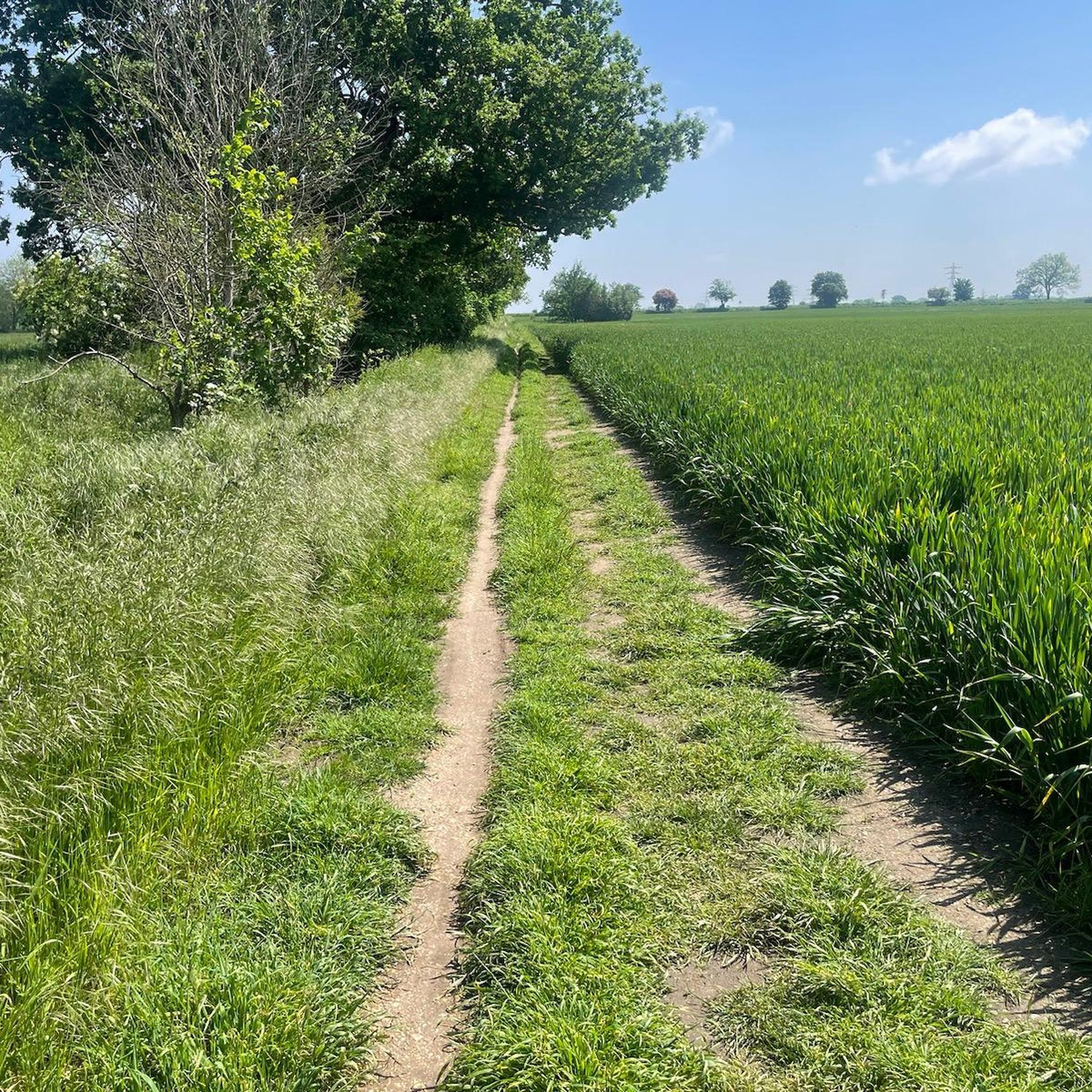
Tips from the Community

Small village really worth visiting on a bike tour with several nice houses.
1
0
The Windmill at Fulbourn stands on an outlier of the Gog Magog Hills 4 miles east of the City of Cambridge. Low chalk hills run to the south of it; northwards the Windmill overlooks the Fens which are at most only a few feet above sea level. The cap of the Windmill rises to 160 feet above sea-level and from it there is an uninterrupted view of the roofs and towers of Ely Cathedral. It has long been an outstanding landmark in the south Cambridgeshire countryside. It was the enclosure of the parish for the improvement of cultivation that led to the building of the present Windmill. Much of the land in the north of the parish was low-lying and waterlogged and needed draining to convert it into profitable arable land. Fulbourn Fen was a peat fen only 20 feet above sea level over which the Great Wilbraham River spread its waters in times of flood. The Act of Enclosure for Fulbourn was passed in 1806 and the Commissioners completed their work two years later. The drainage of the parish reduced the level of water in the upper reaches of the Great Wilbraham River on which the manorial watermill was situated. The loss of power brought to an end the life of a mill which had first been recorded in Domesday Book. In 1808 the machinery of the watermill was put up for sale. A new mill was therefore needed and the Enclosure Commissioners allotted one acre on Mill Hill, on which to build a mill and miller’s cottage, to John Chaplin, a considerable landowner and farmer. He used copies of Old Moore’s Almanack as a diary, entering personal events and business notes in the margins of the calendar. In 1808 he recorded against 11 July, ‘I laid the first brick of my mill’; 22 November, ‘Mill sails put up’; 15 December, ‘Began grinding’. It is a large octagonal smock mill with a brick base and wooden superstructure. Its outline is squat with a shallow conical cap. The fantail, as usual in Cambridgeshire mills, is close against the cap. The mill holds three stones, one of French burr and two of Derbyshire stone. With floors 24 feet in diameter, there is exceptional space for working the mill. (https://fulbournwindmill.org.uk/history.html)
1
0

P.S. The land owner/farmer has obviously had problems with unauthorised vehicles using this track, because there are now large hay bales installed either side of the ford and in front of nearby farm gates. Access across the stream via the adjacent footbridge is still possible, but don't be disappointed if you wanted to take a run through the ford. P.P.S. The hay bales have now been removed from the ford!
1
0

Great double-track circumventing Hauxton High St, incl. underpass of M1, leading all the way to Great Shelford
0
0


nice sections of fast gravel on either side of the ford. great section from Babraham to Stapleford
0
0

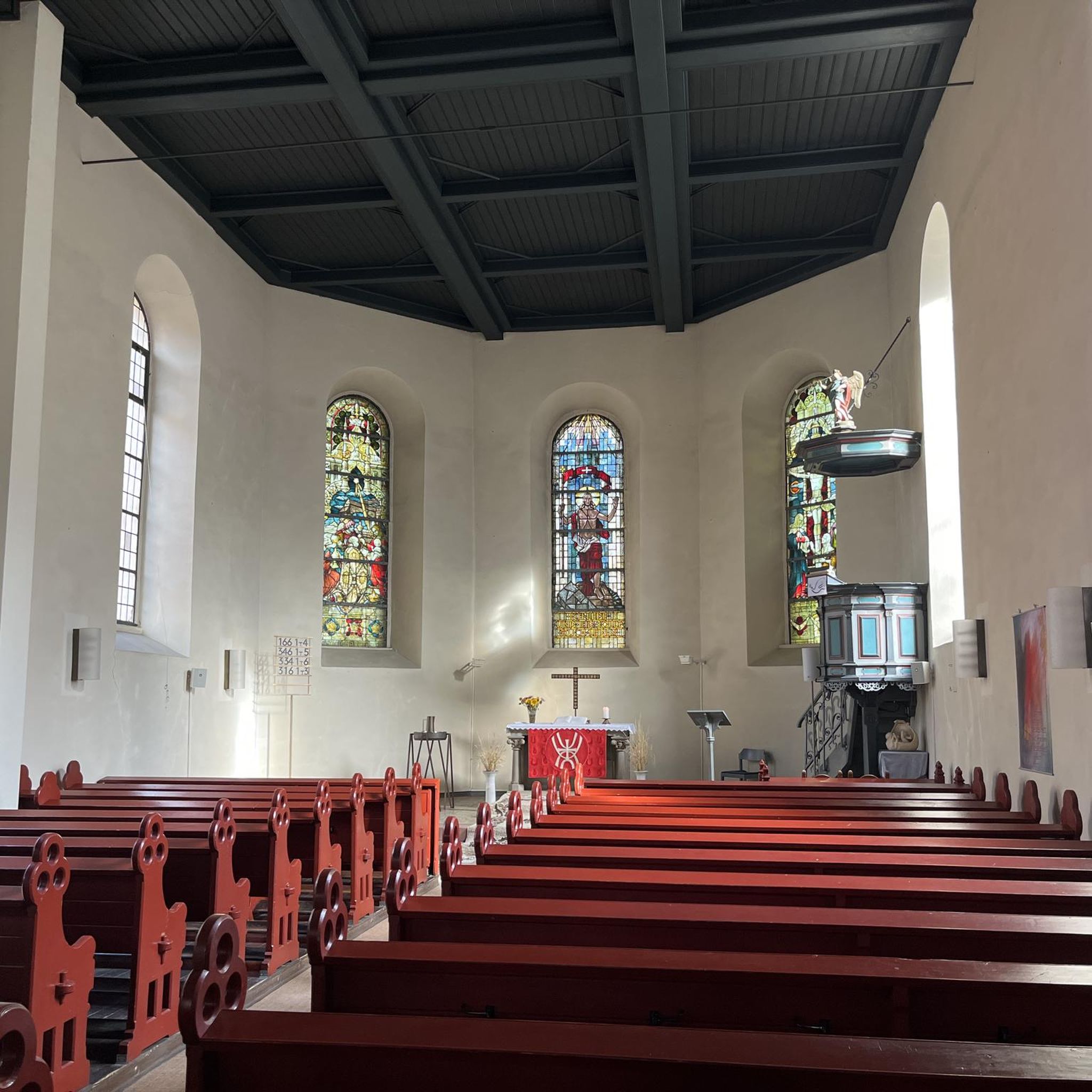
Haslingfield is a charming, thriving village in South Cambridgeshire. It has two beautiful churches, a number of quaint properties, and a pleasant, serene village ambience. The village easily dates back to mediaeval times, and even Queen Elizabeth I stayed here back in 1564.
2
0

Frequently Asked Questions
How suitable is Impington for beginner gravel bikers?
Impington is very welcoming for beginners. The region is known for its relatively flat terrain and dedicated cycle paths, including converted busways. Many routes have low elevation gains, focusing on enjoyable distances rather than strenuous climbs. For an easy introduction, consider the Grantchester Village – DNA Path Rainbow Cycleway loop from Cambridge, which is 15.0 miles (24.1 km) and takes about 1 hour 42 minutes.
Are there any challenging gravel bike routes around Impington?
The gravel biking around Impington is generally characterized by its accessibility and relatively flat terrain. While there are no routes classified as 'difficult' in the area, some longer routes offer a moderate challenge through increased distance. For instance, the Southern Busway Cycle Path – DNA Path Rainbow Cycleway loop from Waterbeach is a moderate 36.7 miles (59.0 km) path that provides varied scenery over a longer duration.
What are the typical distances and elevation gains for gravel trails in Impington?
Gravel trails around Impington vary in length, with routes ranging from approximately 15 miles (24 km) to over 36 miles (59 km). Due to the region's flat topography, elevation gains are generally low, typically under 300 meters even on longer routes. This makes the area ideal for consistent riding without significant climbing.
Are there family-friendly gravel biking options in Impington?
Yes, Impington offers several family-friendly gravel biking options, largely thanks to its network of dedicated, smooth cycle paths and low elevation. These paths provide a safe and enjoyable environment for riders of all ages. The DNA Path Rainbow Cycleway – Southern Busway Cycle Path loop from Cambridge is a great choice, offering an 18.8-mile (30.3 km) ride primarily on established cycle paths.
Where can I find parking for gravel bike trails near Impington?
Many gravel routes around Impington start from or pass through areas with public parking, particularly in and around Cambridge. For routes originating from Cambridge, you can often find parking facilities near the city's railway station or other public car parks, which provide convenient access to the cycle path network.
What is the best time of year for gravel biking in Impington?
The best time for gravel biking in Impington is generally from spring through autumn (April to October) when the weather is milder and drier. The established cycle paths are usually well-maintained year-round, but pleasant conditions make for a more enjoyable ride. Winter riding is possible, but paths can be wet or muddy in places, especially off the main busways.
Are there circular gravel bike routes available in Impington?
Yes, the majority of gravel bike routes around Impington are designed as circular loops, allowing you to start and finish at the same point. This makes planning your ride convenient. An example is the Cambridge Railway Station – Stapleford to Babraham Track loop from Cambridge, which is an easy 25.2-mile (25.2 km) circular route.
What kind of trail conditions can I expect on Impington's gravel routes?
Impington's gravel routes primarily utilize dedicated cycle paths and converted busways, meaning you can expect generally smooth and consistent surfaces. While some sections may involve compacted gravel or open terrain, the emphasis is on accessible, well-maintained paths suitable for gravel bikes. Conditions are typically good, though they can be wetter after heavy rain.
Are there any routes that include cafe stops or places to refuel?
While specific cafe stops are not always explicitly listed for every route, many of the gravel trails around Impington pass through or near villages and towns, especially those starting or ending in Cambridge. This provides ample opportunities to find cafes, pubs, or shops for refreshments. Planning your route with a map can help identify suitable stops along the way.
What are some scenic highlights or attractions I can see along the gravel bike trails?
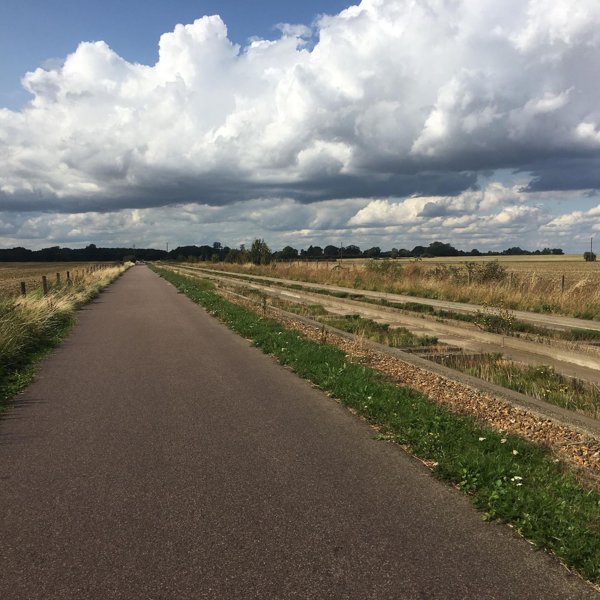
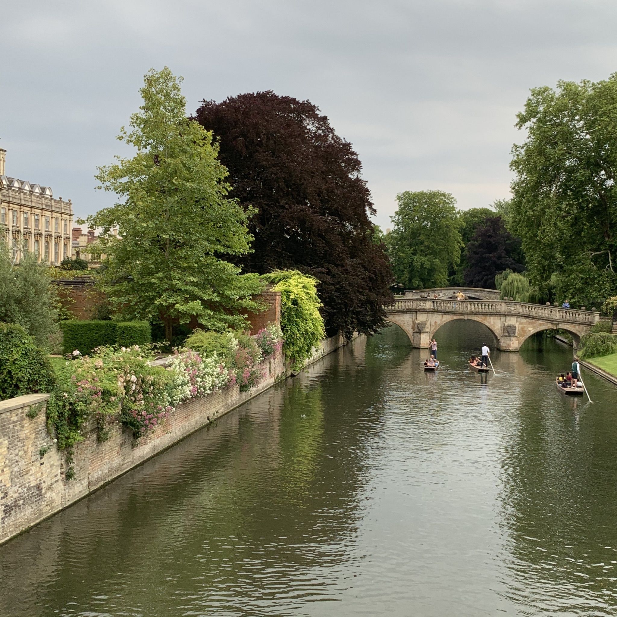
The gravel trails around Impington offer scenic views of open landscapes and often follow established cycleways. You'll encounter notable infrastructure like the DNA Path Rainbow Cycleway and the Cambridge Guided Busway Cycle Path. For those venturing closer to Cambridge, landmarks such as King's College Chapel and the Mathematical Bridge at Queens' College are accessible nearby.
What do other gravel bikers enjoy most about gravel biking in Impington?
The komoot community highly rates gravel biking in Impington, with an average score of 4.4 stars from over 70 reviews. Riders frequently praise the well-maintained, dedicated cycle paths, the relatively flat and accessible terrain, and the opportunity for consistent, enjoyable rides. The ease of navigation and the scenic, open landscapes are also commonly highlighted.
Are there any longer, moderate routes for experienced gravel bikers?
For those looking for a longer ride, the A1301 Cycle Path – DNA Path Rainbow Cycleway loop from Cambridge offers a moderate 44.7-mile (44.7 km) journey. This route combines different cycle paths and provides a good distance challenge while still benefiting from the region's generally flat profile.
Most popular routes around Impington
Most popular attractions around Impington

Get inspired with the komoot mobile app


Explore more
Browse the best Gravel rides in other regions.
