The best gravel rides around Shavington Cum Gresty
4.3
(4)
16
riders
1
ride
Gravel biking around Shavington Cum Gresty offers routes through varied terrain, blending rural agricultural landscapes with accessible trails. The area is generally flat, with an average elevation of around 200 feet, and features a network of quiet lanes, brooks, and meres. These gravel bike trails consist of a mix of mostly paved surfaces and dedicated paths, providing diverse options for outdoor exploration.
Best gravel bike trails around Shavington Cum Gresty
- The most popular gravel bike trail is Whitegate Way –…
Last updated: October 18, 2026
3.0
(2)
10
riders
41.6km
02:17
300m
300m
Moderate gravel ride. Good fitness required. Mostly paved surfaces. Suitable for all skill levels.
5.0
(1)
4
riders
26.1km
01:42
100m
100m
Easy gravel ride. Great for any fitness level. Mostly paved surfaces. Suitable for all skill levels.

5.0
(1)
1
riders
Easy gravel ride. Great for any fitness level. Mostly paved surfaces. Suitable for all skill levels.
1
riders
82.5km
04:33
410m
410m
Moderate gravel ride. Good fitness required. Mostly paved surfaces. Suitable for all skill levels.
Our route recommendations are based on thousands of hikes, rides, and runs completed by other people on komoot.
Start today with a free account
Your next adventure awaits.


Tips from the Community

Lovely ride through Delamere Forest. You can't go wrong on a mtb or emtb. I entered the forest at New Pale and went round lots of trails to the holiday lodges and came out on Waterloo Lane.
0
0

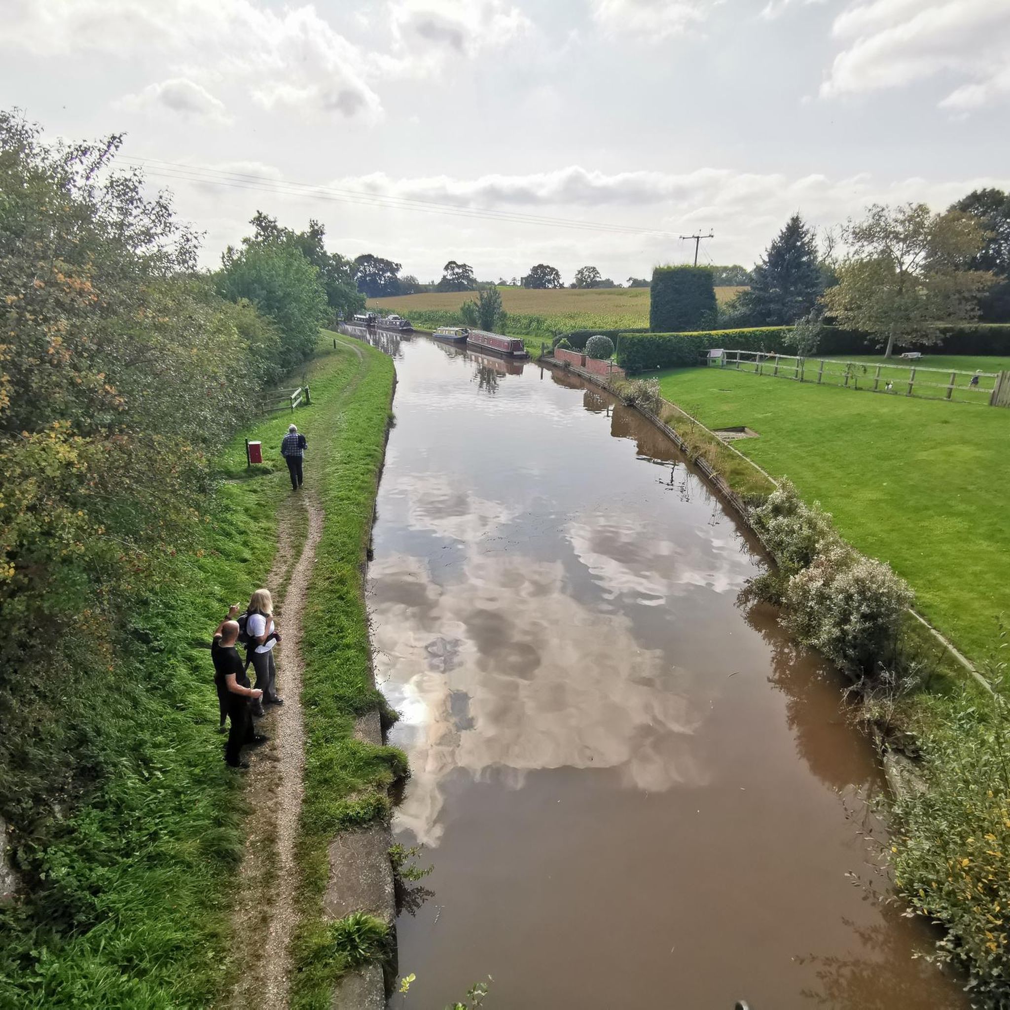
A wonderful example of a lock bridge, and a great spot for a BAAB (bike against a bridge) photo. It's peaceful and picturesque, you might even spot a canal boat or two.
0
0

„Today the Salt Line runs through farmland and woodlands, with streams, pools and rough grassland. Wild primroses brighten up the steep cutting at Roughwood Hollow while later in the year the delicate flowers of scabious and harebell can be seen on the banks. Areas of willow and hazel are coppiced regularly. This is an ancient woodland practice in which trees are cut every few years to produce timber that would have been traditionally used for thatching spars, barrel hoops, hurdles and baskets. Sheltered glades are created where flower and insects thrive, until the trees re-grow and the process begins again. Some areas are managed as wild flower meadows while others are left fairly wild and just cut back enough to keep the path clear. Look out for Bullfinches and Yellowhammers that feed on buds, berries and seeds along the Salt Line.“ Quelle: https://visitcheshire.com/trails/the-salt-line
0
0

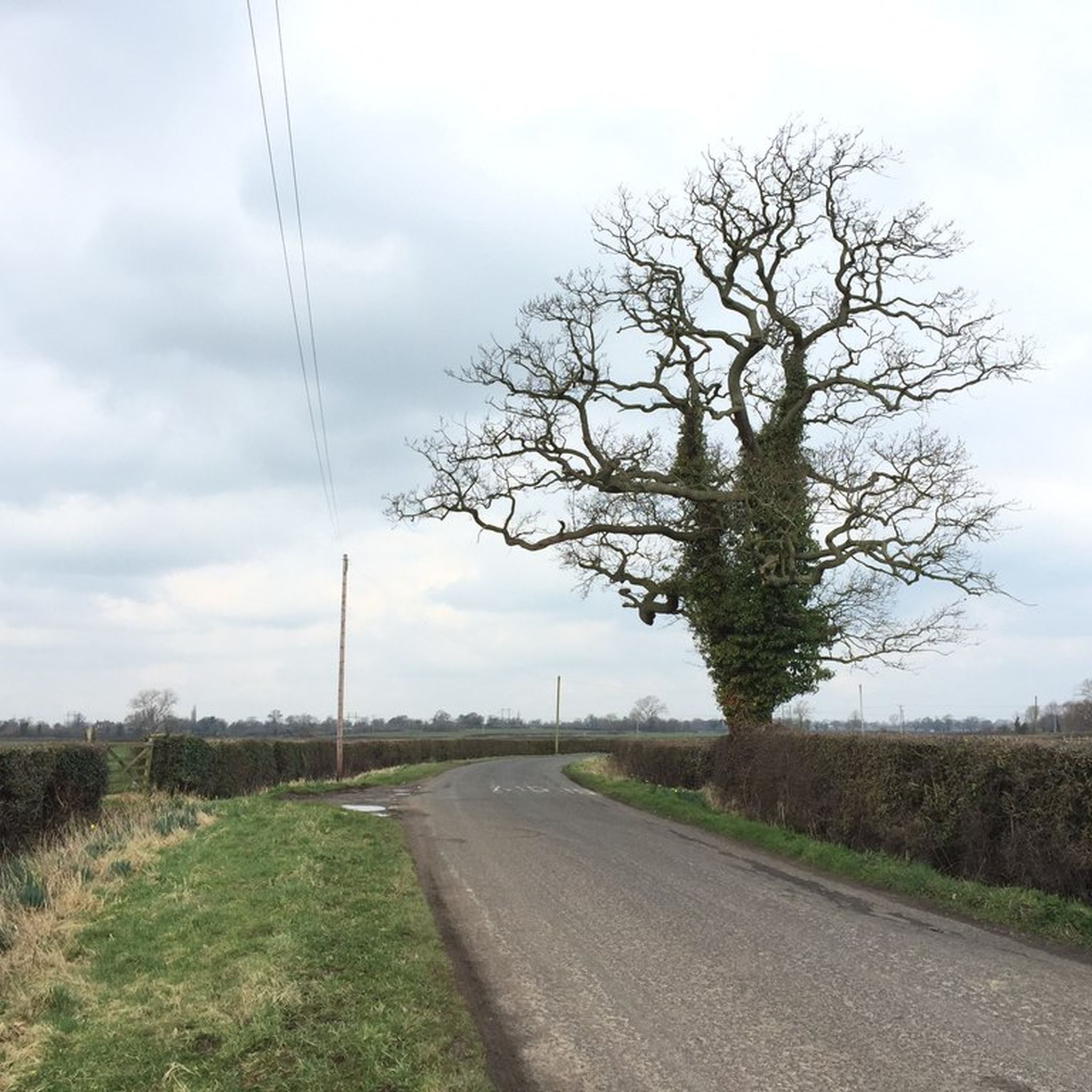
Just off a main road is this quiet country lane which also has a short step free access to good canal path
0
0

Nice place for a quick recharge while on the trail run/ride
0
0
Frequently Asked Questions
What kind of terrain can I expect on gravel bike trails around Shavington Cum Gresty?
The terrain around Shavington Cum Gresty is generally varied, blending rural agricultural landscapes with accessible trails. You'll find a mix of mostly paved surfaces and dedicated paths, often along quiet country lanes, brooks, and meres. While largely flat with an average elevation of around 200 feet, some routes, like the Whitegate Way loop from Alsager, can feature significant elevation gain.
Are there any easy or beginner-friendly gravel bike routes in the area?
Yes, there are options suitable for beginners. The Wheelock Rail Trail – Salt Line Trail Entrance loop from Bradwall is an easy 16.2-mile (26.1 km) trail leading through rural landscapes. Another easy option is the Wheelock Rail Trail – Bridge at Cholmondeston Lock loop from Sandbach, which is shorter at 5.6 miles (9 km) and has minimal elevation.
What are some notable landmarks or natural features I might see along the gravel bike routes?
You can encounter a variety of interesting sights. The area features numerous brooks and meres, including Winterley Pool. Historic attractions like the Sandbach Saxon Crosses and the impressive Nantwich Aqueduct are also accessible. Sections of the historic Trent & Mersey Canal are incorporated into various routes, offering waterside views.
Are there any challenging or long-distance gravel biking options near Shavington Cum Gresty?
For those seeking a challenge, the Whitegate Way loop from Alsager is a difficult 51.3-mile (82.6 km) route that takes approximately 5 hours 44 minutes to complete and features significant elevation gain. The Biddulph Valley Way loop from Sandbach is another moderate option, covering 25.9 miles (41.6 km) with a mix of terrain.
What do other gravel bikers enjoy most about the trails in Shavington Cum Gresty?
The komoot community highly rates the gravel biking experience in Shavington Cum Gresty, with an average score of 5.0 stars. Riders often appreciate the blend of rural agricultural landscapes, the accessible network of trails, and the diverse options available for different ability levels.
Are there any circular gravel bike routes available?
Yes, many of the gravel routes in the Shavington Cum Gresty area are designed as loops. Examples include the Biddulph Valley Way loop from Sandbach, the Wheelock Rail Trail – Salt Line Trail Entrance loop from Bradwall, and the Whitegate Way loop from Alsager, all offering circular journeys.
Is the area suitable for family-friendly gravel biking?
Yes, the area offers routes suitable for families, particularly the easier sections of trails like the Wheelock Rail Trail. These routes often feature mostly paved surfaces and dedicated paths, making them accessible for various ages and skill levels. The generally flat terrain also contributes to a more relaxed family cycling experience.
Are there places to stop for refreshments or explore towns along the routes?
Yes, the nearby Nantwich Town Centre is described as a 'hidden gem' with numerous old Tudor and Georgian buildings, offering a great place for a break with cafes available. Routes starting or passing through towns like Sandbach or Alsager also provide opportunities for refreshment stops.
What is the best time of year to go gravel biking in Shavington Cum Gresty?
The varied terrain and mix of paved and dedicated paths make gravel biking enjoyable throughout much of the year. Spring and autumn offer pleasant temperatures and scenic views of the agricultural landscapes. While the area is generally accessible, checking local weather conditions is always advisable, especially during winter months, as some unpaved sections might be affected by wet weather.
Where can I find parking for gravel bike trails in Shavington Cum Gresty?
Many routes start from towns like Sandbach, Bradwall, or Alsager, where public parking facilities are typically available. Specific trailheads, such as the Salt Line Trail Entrance, may also have designated parking areas. It's recommended to check the starting point of your chosen route for specific parking information.
Can I reach the gravel bike trails using public transport?
The Shavington Cum Gresty area is served by local public transport networks. Towns like Sandbach and Alsager, which are common starting points for many gravel routes, have train stations and bus services. Planning your route in advance and checking local transport schedules will help you determine the best way to access the trailheads.
Are there any routes that incorporate water features or lakes?
Yes, the region is characterized by several small meres and ponds, including Winterley Pool. Swill Brook and other unnamed brooks traverse the area, and sections of the historic Trent & Mersey Canal are often integrated into cycling routes, providing picturesque waterside views and opportunities to see features like the Nantwich Aqueduct.
Most popular attractions around Shavington Cum Gresty

Get inspired with the komoot mobile app


Explore more
Browse the best Gravel rides in other regions.
