The best gravel rides around Kirk Bramwith
5.0
(2)
21
riders
2
rides
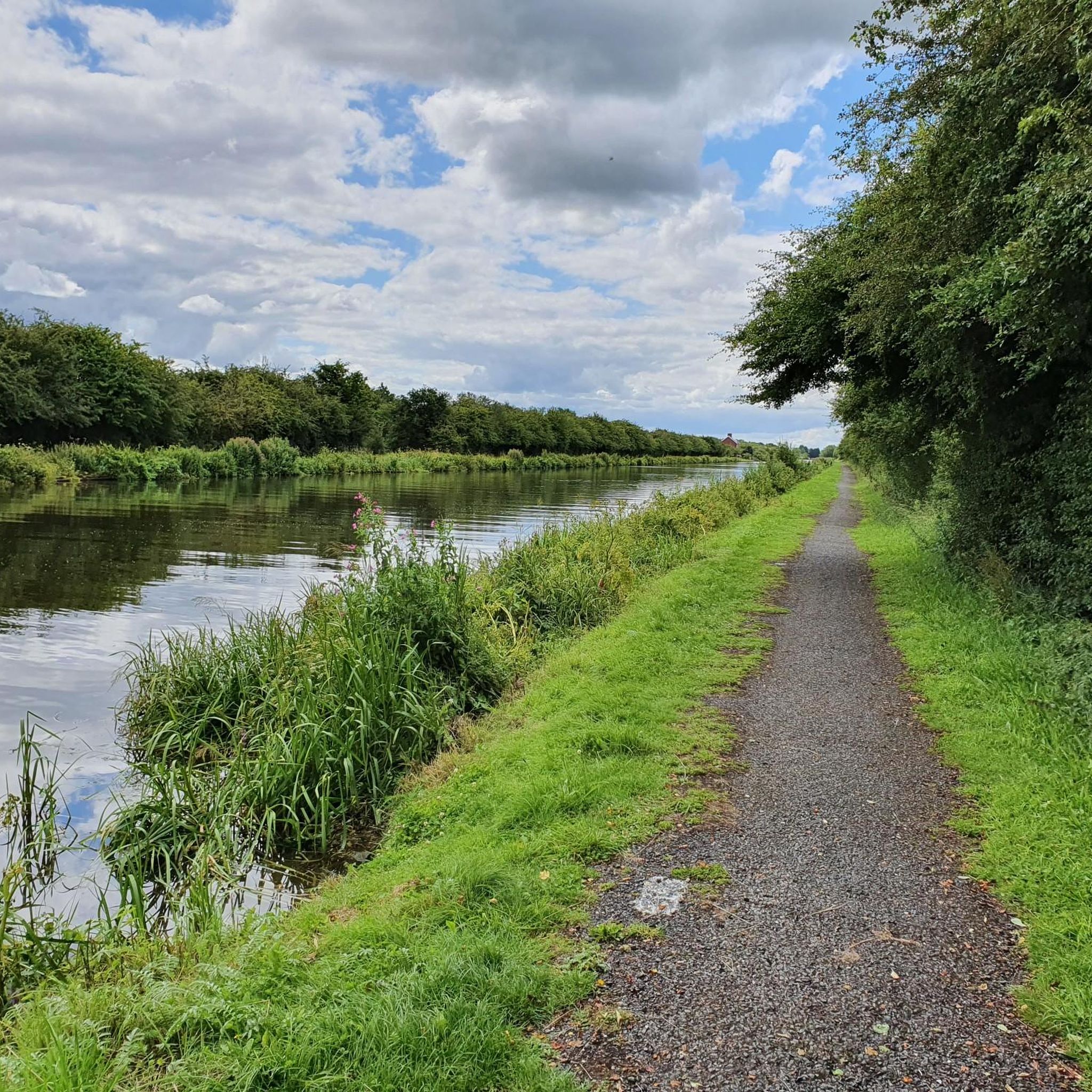
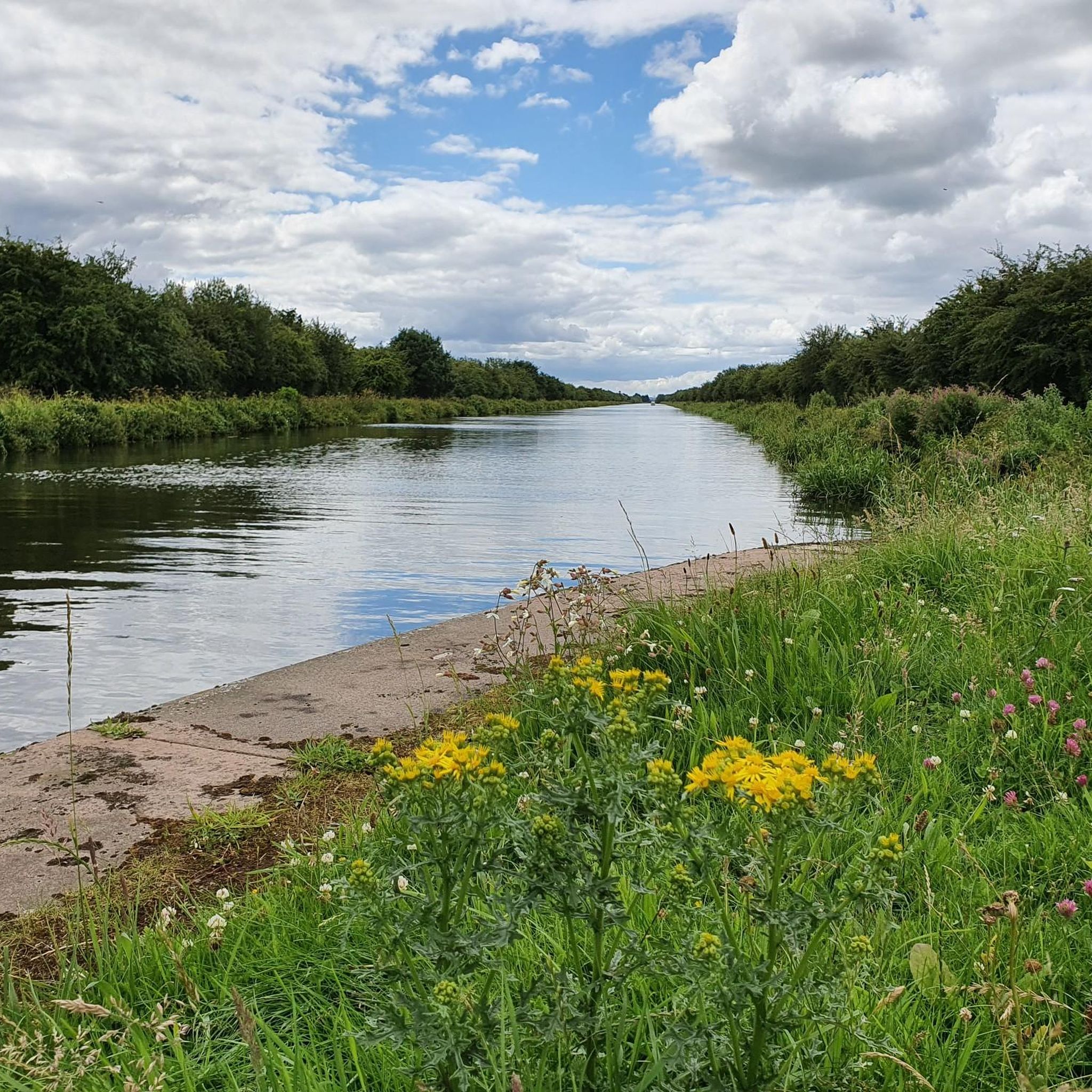
Gravel biking around Kirk Bramwith is characterized by its predominantly flat terrain, shaped by an extensive network of canals and rivers. The region features numerous canal towpaths, notably along the New Junction Canal and the River Don Navigation, offering accessible and smooth surfaces for gravel biking. Routes often traverse tranquil rural countryside and lowland nature reserves, providing opportunities for wildlife observation. This landscape allows for longer distances to be covered with minimal elevation gain, suitable for various fitness levels.
Best…
Last updated: August 26, 2026
5.0
(1)
15
riders
Hard gravel ride. Very good fitness required. Mostly paved surfaces. Suitable for all skill levels.
5.0
(1)
3
riders
31.4km
01:53
210m
210m
Moderate gravel ride. Good fitness required. Mostly paved surfaces. Suitable for all skill levels.

Sign up for free
4
riders
Easy gravel ride. Great for any fitness level. Mostly paved surfaces. Suitable for all skill levels.
Our route recommendations are based on thousands of hikes, rides, and runs completed by other people on komoot.
Start today with a free account
Your next adventure awaits.
Login or Signup
Tips from the Community

nice beer garden, outside bar .. on the canal .. nice end point
0
0

Nice for a walk and food in tea rooms or a visit to the museum
0
0

Good part but sometimes you get motorbikes down there
0
0

The Trans Pennine Trail is a super good multi-use trail that links the North and Irish Seas via Hornsea to Southport. At 215 miles (346 km), it is a brilliant long trail that traverses the Pennines, travels alongside rivers and canals, as well as going through some of the most charming towns in England. Sprotbrough is one such place, being one of the nicest riverside towns out there with so many attractions such as Sprotbrough Weir, Sprotbrough Flash Nature Reserve, and of course nearby iconic Conisbrough Viaduct.
1
0
This is a super cool footbridge that bridges the River Dearne where the Trans Pennine Way goes past Conisbrough. It is a cracking path and well maintained. There are lovely views down over the river, but much better on a summer day when the sun is out with lush green vegetation.
1
0
Frequently Asked Questions
What kind of terrain can I expect on gravel bike trails around Kirk Bramwith?
The terrain around Kirk Bramwith is predominantly flat, characterized by an extensive network of canal towpaths and riverside trails, notably along the New Junction Canal and the River Don Navigation. These paths offer smooth, accessible surfaces, making them ideal for gravel biking. You'll also find routes traversing tranquil rural countryside and lowland nature reserves.
Are there gravel biking routes suitable for beginners or families in Kirk Bramwith?
Yes, Kirk Bramwith offers routes suitable for various fitness levels, including easier options. The flat terrain makes it less challenging, allowing for enjoyable rides. For an easy route, consider the Doncaster Greenway – Conisbrough Viaduct loop from Bentley (South Yorkshire), which is 24.1 km long and takes about 1 hour 41 minutes.
What are the typical distances and durations for gravel bike routes in this area?
Gravel bike routes around Kirk Bramwith vary in length and duration. You can find shorter rides like the 24.1 km Doncaster Greenway – Conisbrough Viaduct loop, which takes under two hours. For a longer, more challenging experience, the Doncaster Greenway – River Dearne Footbridge loop from Bentley (South Yorkshire) covers 91.5 km and typically takes over six hours.
Are there any challenging gravel bike routes for experienced riders?
Yes, for experienced riders seeking a challenge, the Doncaster Greenway – River Dearne Footbridge loop from Bentley (South Yorkshire) is a difficult 91.5 km trail. While the region is generally flat, this route offers a longer distance and varied landscapes to test your endurance.
What natural features or landmarks can I expect to see along the gravel routes?
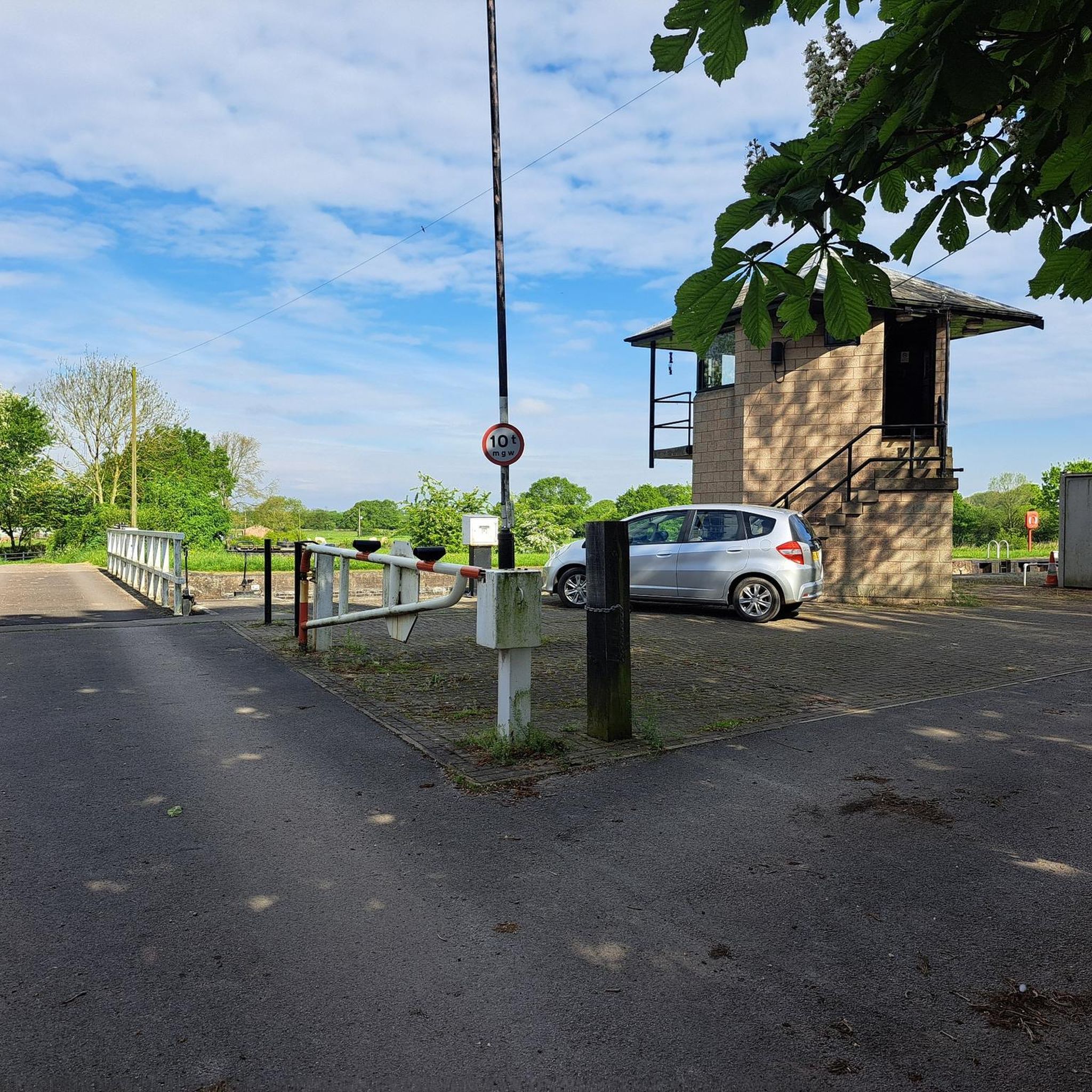
The routes often follow scenic canal and riverside trails, providing opportunities for wildlife spotting in lowland nature reserves. You'll also encounter unique historical elements such as swing and lift bridges along the canals. Notable highlights include the Low Lane Swing Bridge and the Neolithic House and Trackway, Humberhead Peatlands.
Are there any loop routes available for gravel biking in Kirk Bramwith?
Yes, many of the gravel biking routes around Kirk Bramwith are designed as loops, allowing you to start and end at the same point. Examples include the moderate Conisbrough Viaduct – The Boat Inn, Sprotbrough loop from Burghwallis and the River Dearne Footbridge – Doncaster Greenway loop from Bentley (South Yorkshire).
What is the best time of year to go gravel biking in Kirk Bramwith?
The predominantly flat terrain and well-maintained paths make Kirk Bramwith suitable for gravel biking across many seasons. However, spring and autumn generally offer pleasant temperatures and beautiful scenery. During winter, some unpaved sections might be muddier, so checking local conditions is advisable.
What do other gravel bikers enjoy most about the routes in Kirk Bramwith?
The area is highly rated by the komoot community, with an average score of 5.0 stars from over 5 reviews. Reviewers often praise the tranquil rural countryside, the unique waterside scenery along the canals, and the accessibility of the flat routes, which allow for enjoyable long-distance rides.
Are there any traffic-free sections suitable for cycling?
Yes, the region's extensive network of canal towpaths and riverside trails provides many sections that are largely traffic-free, offering a peaceful and safe biking experience. You can find dedicated cycling paths like the Traffic-Free Section of NCN62.
How many gravel bike routes are available around Kirk Bramwith?
There are several gravel bike routes available around Kirk Bramwith, with komoot featuring 5 distinct tours. These include a mix of easy, moderate, and difficult options to suit different preferences and skill levels.
Can I find routes that pass by historical sites or points of interest?
While the region is primarily known for its natural waterways, routes often incorporate historical elements such as the various swing and lift bridges along the canals. For a broader historical context, you might consider routes that pass near sites like Carlton Towers, though it's a short detour from the immediate Kirk Bramwith area.
Most popular attractions around Kirk Bramwith

Get inspired with the komoot mobile app


Explore more
Browse the best Gravel rides in other regions.
