The best gravel rides around North Runcton
3
riders
2
rides
Gravel biking around North Runcton offers access to a diverse landscape characterized by quiet country lanes, farm tracks, and unpaved sections. The region features gentle undulations and woodlands, providing varied terrain for cyclists. Historic routes like the Peddars Way contribute to the network of mixed gravel paths. These trails often pass through natural settings and offer glimpses of the wider Norfolk countryside.
Best gravel bike trails around North Runcton
- The most popular gravel bike trail is Forest Downhill Tracks –…
Last updated: July 3, 2026
1
riders
40.7km
02:39
200m
200m
Moderate gravel ride. Good fitness required. Mostly paved surfaces. Suitable for all skill levels.
1
riders
17.0km
01:08
80m
80m
Easy gravel ride. Great for any fitness level. Mostly paved surfaces. Suitable for all skill levels.

Sign up for free
2
riders
38.5km
02:27
160m
160m
Moderate gravel ride. Good fitness required. Mostly paved surfaces. Suitable for all skill levels.
Our route recommendations are based on thousands of hikes, rides, and runs completed by other people on komoot.
Start today with a free account
Your next adventure awaits.
Login or Signup

Tips from the Community

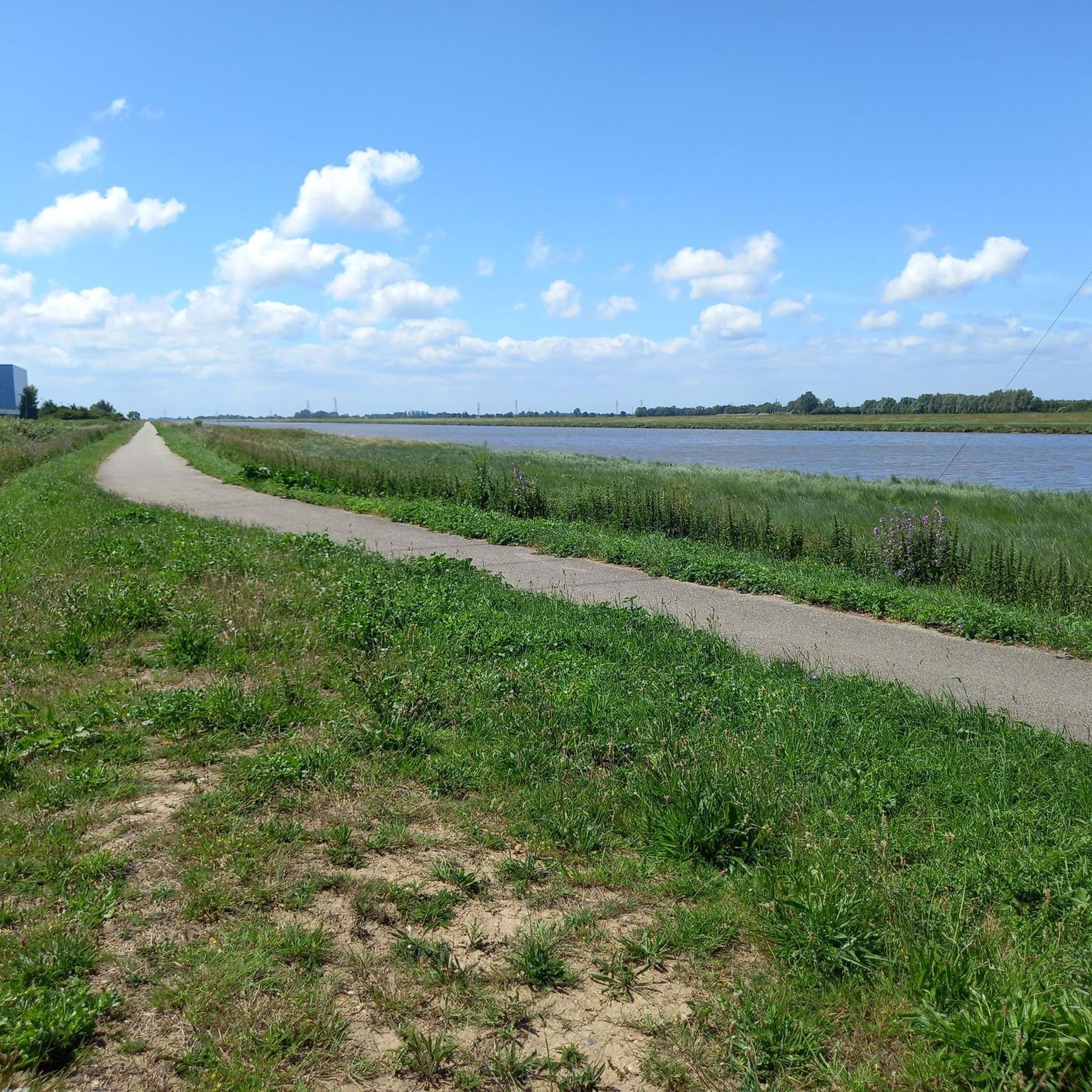
Very open space - Great view (flat tho - it's Norfolk) - Big big sky ... also the fencing has been redone recently, looks much smarter
0
0


Really nice ride on a well maintained surface in the dray, but it is sandy and I imagine very hard to pass in the winter has nice views.
0
0

Frequently Asked Questions
What kind of terrain can I expect on gravel bike trails around North Runcton?
The North Runcton area, part of Norfolk, offers a diverse gravel biking experience. You'll find a mix of quiet country lanes, farm tracks, bridleways, and unpaved sections. While generally perceived as flat, some routes include gentle climbs and undulating fields, especially through picturesque woodlands. Historic routes like the Peddars Way also provide mixed gravel terrain and scenic byways.
Are there any easy or beginner-friendly gravel bike trails near North Runcton?
Yes, there are options suitable for beginners. For example, the Fincham Drove – Fern-Covered Trail Section loop from Marham is an easy 10.6-mile (17.0 km) trail that takes about 1 hour 19 minutes to complete, leading through rural tracks and fern-covered sections. The region's network of quiet country lanes and diverse woodlands offers various options for different ability levels.
What historical landmarks or natural features can I see along the gravel bike trails?
The region around North Runcton is rich in history and natural beauty. You can incorporate visits to historical landmarks such as Castle Rising Castle, a ruined medieval fortification. Routes often pass through picturesque woodlands and offer stunning coastal views towards Hunstanton and along the Norfolk Coast. The Norfolk Coast Area of Outstanding Natural Beauty (AONB) is also nearby, featuring tidal salt marshes and charming seaside villages.
Are there any trails that offer viewpoints or scenic vistas?
Many routes in the wider Norfolk region, accessible from North Runcton, offer scenic vistas. You can expect stunning coastal views, particularly towards Hunstanton and along the Norfolk Coast. Cycling through areas like Sheringham Park and Weybourne Heath also provides opportunities for off-road cycling through natural settings with open views of the countryside.
What is the best time of year for gravel biking in North Runcton?
The region is enjoyable for gravel biking across multiple seasons. Spring and autumn offer pleasant temperatures and beautiful scenery with changing foliage. Summer provides longer daylight hours, though trails can be busier. Even winter can be suitable, but be prepared for potentially muddier conditions on unpaved sections and shorter daylight. Always check local weather forecasts before heading out.
Are there any family-friendly gravel biking options around North Runcton?
Yes, the network of quiet country lanes and less challenging unpaved sections makes some routes suitable for families. The gentle undulations and varied terrain provide an engaging experience without being overly strenuous. For a specific family-friendly attraction, Gooderstone Water Gardens & Nature Trail, about 11 miles from North Runcton, offers another outdoor activity for all ages that could be combined with a ride.
Can I find circular gravel bike routes in the area?
Yes, many of the gravel biking routes around North Runcton are designed as loops, allowing you to start and finish at the same point. For instance, the popular Forest Downhill Tracks – Stowborough Lane loop from Shouldham is a 25.3-mile (40.7 km) circular trail featuring varied forest paths and open country lanes.
Where can I park my car when going gravel biking near North Runcton?
Parking availability varies by starting point. Many trailheads or nearby villages offer public parking facilities. For routes starting from King's Lynn, you can often find parking options within the town. When planning your ride, it's advisable to check specific parking locations for your chosen route's starting point to ensure convenience.
Are there cafes or pubs along the gravel bike trails for a stop?
Yes, cycling through the region allows exploration of numerous picturesque villages, many of which host charming cafes and traditional pubs. These establishments offer excellent opportunities for refreshment stops during your ride. While specific locations vary by route, the general area is well-served by local amenities.
What is the elevation gain like on gravel bike trails in this region?
The North Runcton area and wider Norfolk region are generally known for their relatively gentle topography. While not entirely flat, you can expect moderate elevation gains. For example, the The Walks Bandstand – Twisty Forest Path loop from King's Lynn has an elevation gain of approximately 165 meters over 38.7 km, offering a manageable challenge for most gravel bikers.
Are there any specific nature reserves or parks I can cycle through?
Routes often pass through or near significant natural areas. The region boasts several National Trust parks and nature reserves, such as RSPB Snettisham Nature Reserve and Holme Dunes, which provide beautiful backdrops for rides and opportunities for wildlife spotting. The Norfolk Coast Area of Outstanding Natural Beauty (AONB) is also nearby, offering stunning natural landscapes.
How do gravel bike trails in North Runcton compare to those in King's Lynn?
Both North Runcton and King's Lynn offer excellent gravel biking opportunities within Norfolk. North Runcton provides direct access to diverse landscapes including quiet country lanes and farm tracks, often leading towards the Peddars Way and woodlands. King's Lynn, being a larger town, offers routes that might start closer to urban amenities but quickly transition into twisty forest paths and mixed surfaces, such as the The Walks Bandstand – Twisty Forest Path loop from King's Lynn. The overall terrain and experience are quite similar, characterized by gentle undulations and varied surfaces.
Most popular attractions around North Runcton

Get inspired with the komoot mobile app


Explore more
Browse the best Gravel rides in other regions.
