The best gravel rides around Aslockton
4.4
(8)
69
riders
7
rides
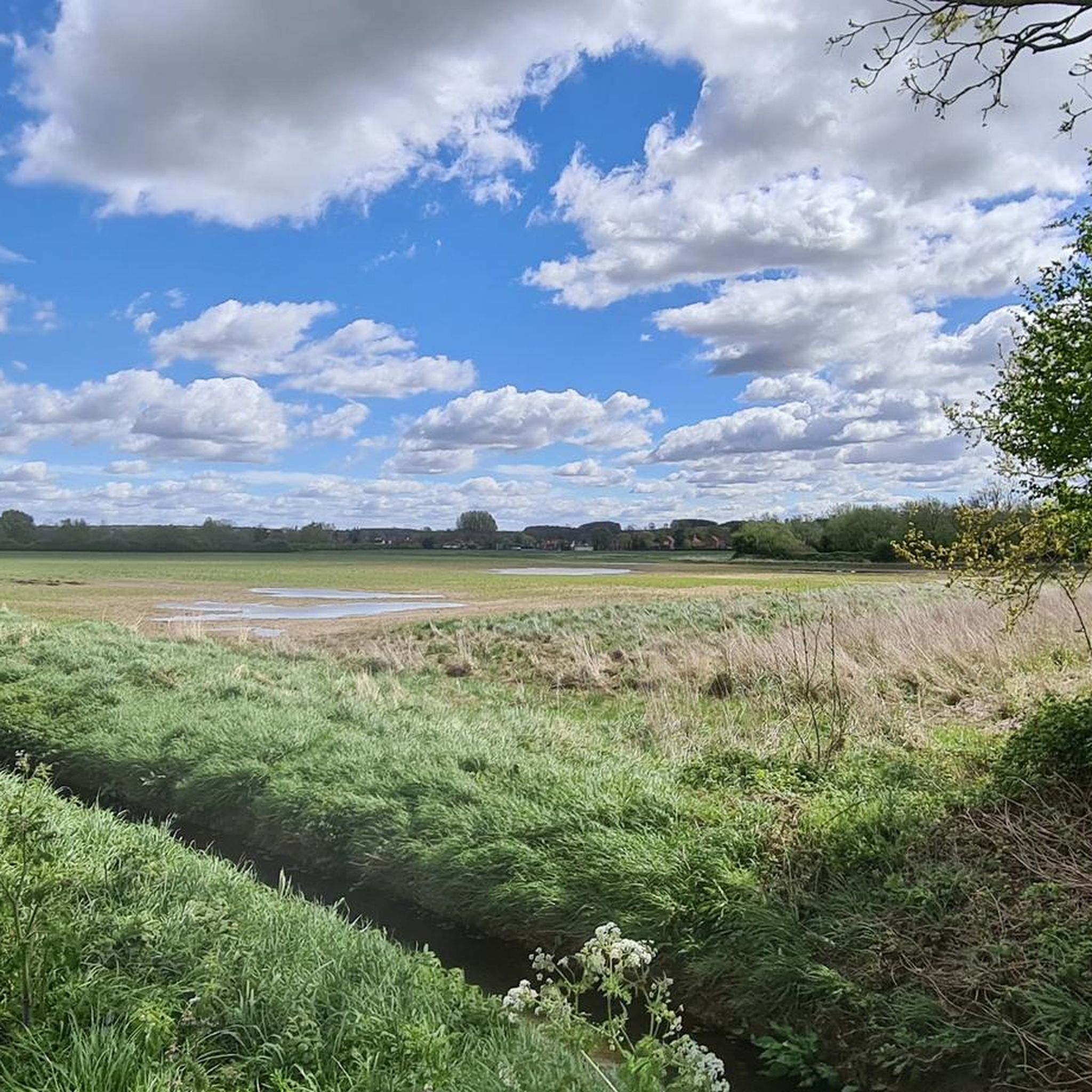
Gravel biking around Aslockton is characterized by its rural and agricultural setting, featuring narrow lanes and hawthorn hedgerows. The area is situated within the Trent Valley Flood Plain, with the River Smite nearby, offering flat, riverside paths. To the south, the Vale of Belvoir provides more undulating terrain and varied cycling experiences. This landscape offers a diverse mix of routes, from flat agricultural plains to more challenging, unpaved sections.
Best gravel bike trails around Aslockton
- The most popular gravel bike…
Last updated: July 3, 2026
3.5
(2)
20
riders
52.2km
03:29
370m
370m
Moderate gravel ride. Good fitness required. Mostly paved surfaces. Suitable for all skill levels.
5.0
(1)
9
riders
66.8km
03:44
310m
310m
Moderate gravel ride. Good fitness required. Mostly paved surfaces. Suitable for all skill levels.

Sign up for free
4.6
(5)
22
riders
Easy gravel ride. Great for any fitness level. Mostly paved surfaces. Suitable for all skill levels.
3
riders
15.3km
00:56
120m
120m
Easy gravel ride. Great for any fitness level. Mostly paved surfaces. Suitable for all skill levels.
4
riders
Easy gravel ride. Great for any fitness level. Mostly paved surfaces. Suitable for all skill levels.
Get access to more routes and recommendations from other explorers.
Sign up for free
Already have an account?
Our route recommendations are based on thousands of hikes, rides, and runs completed by other people on komoot.
Start today with a free account
Your next adventure awaits.
Login or Signup



Tips from the Community

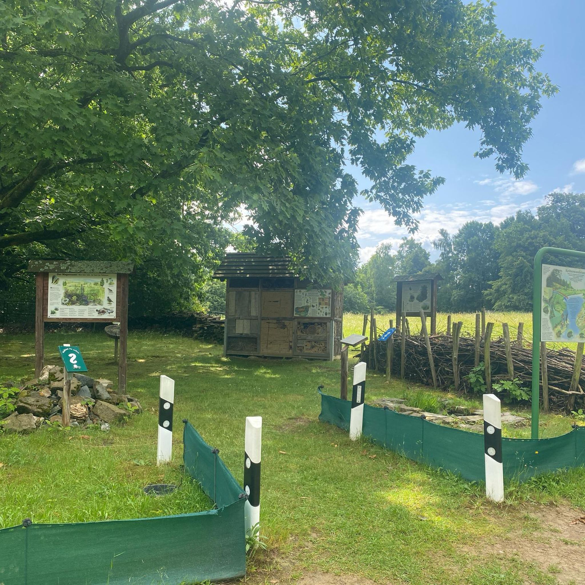
It was a little further and to the right from the location on the map. Found a pair of pants there. 10/10
0
0

lovely canal bridge, head left along disused section of canal to pick up old railway line towards newark.
0
0

If you into war history the memorial at the gliding club is worth checking out, the Viking way itself is part of the 130 mile route which goes right upto the Humber estuary and this section hosts the Viking challenge each year in October when it’s usually very muddy
1
0

One of the top 100 climbs. Fairly short and ramps up as you go easing off after the s bend
0
0

The route is blocked at 24km point near the A46 where a large gate blocks public access.
0
0

Great area to chill out while biking, walking... canoeing, etc...
0
1


Here you are standing on a beautiful bridge with a pittoresque view to the river Trent and from here you also can have a look into the City Ground Stadium, hom eof Nottingham Forest F.C.
0
0
Frequently Asked Questions
What kind of terrain can I expect on gravel bike trails around Aslockton?
The terrain around Aslockton is quite varied. You'll find a mix of flat agricultural plains, narrow rural lanes with hawthorn hedgerows, and riverside paths along the Trent Valley Flood Plain and River Smite. To the south, the Vale of Belvoir offers more undulating sections and some challenging climbs, providing a diverse experience for gravel bikers.
Are there any easy gravel bike routes suitable for beginners or families?
Yes, Aslockton offers several easy routes. For instance, the Grantham Canal Path – Holme Pierrepont Country Park loop from Rushcliffe is an easy 24 km path that follows scenic canal paths and leads through a country park, making it a great option for a more relaxed ride.
What are some of the longer or more challenging gravel routes in the area?
For those seeking a longer or more challenging ride, the Grantham Canal Path – Cotgrave Country Park Lake loop from Radcliffe covers 66.9 km through the Trent Valley Flood Plain. Another moderate option is the Woolsthorpe Middle Lock – Terrace Hill loop from Bottesford, which is 52.2 km with significant elevation gain.
Are there any circular gravel bike routes around Aslockton?
Yes, many of the gravel routes around Aslockton are designed as loops, offering circular journeys. Examples include the Woolsthorpe Middle Lock – Terrace Hill loop from Bottesford and the Grantham Canal Path – Holme Pierrepont Country Park loop from Rushcliffe, allowing you to start and finish in the same location.
What interesting landmarks or natural features can I see along the gravel trails?
You can encounter several points of interest. The Belvoir Castle offers stunning views across the Vale and North Leicestershire. The Netherfield Lagoons Nature Reserve is excellent for birdwatching, featuring gravel ponds and a raised causeway for elevated views. You might also pass by the historic Cranmer's Mound, a Scheduled Ancient Monument.
What do other gravel bikers enjoy most about riding in Aslockton?
The area is highly rated by the komoot community, with an average score of 4.3 stars from over 12 reviews. Riders often praise the diverse landscape, from quiet rural lanes and scenic canal paths to the more challenging, undulating sections of the Vale of Belvoir, offering something for various skill levels.
Are there any cafes or pubs along the gravel routes for a stop?
While specific routes may vary, the region research indicates that Belvoir Castle, a notable landmark, often has amenities like a coffee van (Little Treats coffee van at Belvoir Castle) and visitor toilets. Additionally, many walking and cycling routes in the wider Nottinghamshire area often pass through villages with traditional pubs, so it's worth checking individual route details for specific refreshment stops.
What is the best time of year to go gravel biking in Aslockton?
Aslockton's rural landscape is enjoyable throughout much of the year. Spring and autumn offer pleasant temperatures and beautiful scenery with changing foliage. Summer provides longer daylight hours. While winter riding is possible, be prepared for potentially muddier conditions on unpaved sections, especially in the low-lying Trent Valley Flood Plain.
Is Aslockton a good area for family-friendly gravel biking?
Yes, Aslockton offers options suitable for families, particularly on the easier, flatter routes. The canal paths, such as sections of the Grantham Canal Path – Holme Pierrepont Country Park loop from Rushcliffe, provide relatively flat and traffic-free surfaces that are ideal for family outings. Always check the specific route's difficulty and terrain before heading out with children.
Are there opportunities for birdwatching or other nature observations while cycling?
Absolutely. The Netherfield Lagoons Nature Reserve, located on the Trent Valley Flood Plain, is a fantastic spot for birdwatching. It attracts a variety of waders, gulls, terns, wildfowl, and warblers, offering excellent opportunities for nature observation directly from the trails.
How many gravel bike trails are there in total around Aslockton?
There are over a dozen gravel bike trails available around Aslockton on komoot, offering a good selection for different preferences. These include 6 easy routes and 8 moderate routes, ensuring options for various skill levels.
What are the general trail conditions like for gravel biking in Aslockton?
The trails vary from well-maintained rural lanes and dedicated canal paths to unpaved sections that can be more challenging. Given the area's agricultural nature and proximity to the Trent Valley Flood Plain, some unpaved sections might be muddy, especially after rain. It's always advisable to check recent conditions or rider comments before your trip.
Most popular attractions around Aslockton

Get inspired with the komoot mobile app


Explore more
Browse the best Gravel rides in other regions.
