The best gravel rides around Barton Blount
4.6
(8)
25
riders
4
rides
Gravel biking around Barton Blount offers routes through South Derbyshire's historical landscapes and natural features. The area features converted disused railway lines, providing traffic-free paths through the countryside. Riders can expect varied terrain, including gentle inclines and picturesque fields. Historical structures like Longford Old Mill and Barton Hall are visible along some routes, adding a cultural dimension to the outdoor experience.
Best gravel bike trails around Barton Blount
- The most popular gravel bike trail is Badgers Bridge – Mickleover Station…
Last updated: July 2, 2026
4.6
(8)
11
riders
19.0km
00:58
70m
70m
Easy gravel ride. Great for any fitness level. Mostly paved surfaces. Suitable for all skill levels.
4
riders
29.4km
01:53
450m
450m
Hard gravel ride. Very good fitness required. Mostly paved surfaces. Suitable for all skill levels.

Sign up for free
4
riders
27.5km
01:33
210m
210m
Moderate gravel ride. Good fitness required. Mostly paved surfaces. Suitable for all skill levels.
4
riders
25.3km
01:26
200m
200m
Moderate gravel ride. Good fitness required. Mostly paved surfaces. Suitable for all skill levels.
2
riders
75.0km
04:37
1,050m
1,050m
Hard gravel ride. Very good fitness required. Mostly paved surfaces. Suitable for all skill levels.
Our route recommendations are based on thousands of hikes, rides, and runs completed by other people on komoot.
Start today with a free account
Your next adventure awaits.
Login or Signup
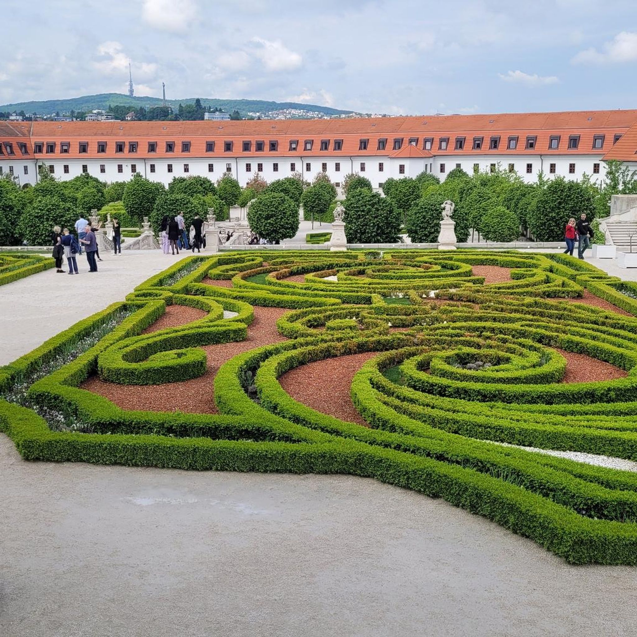
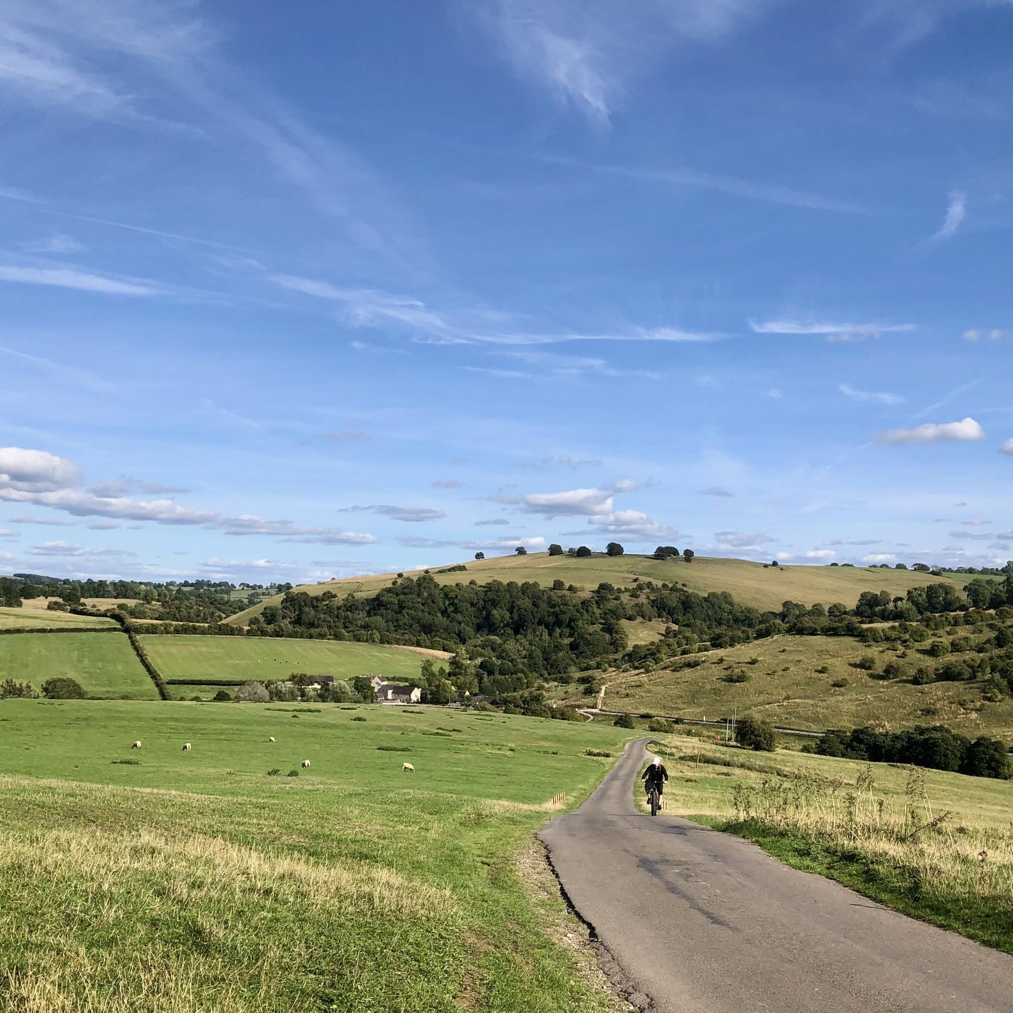
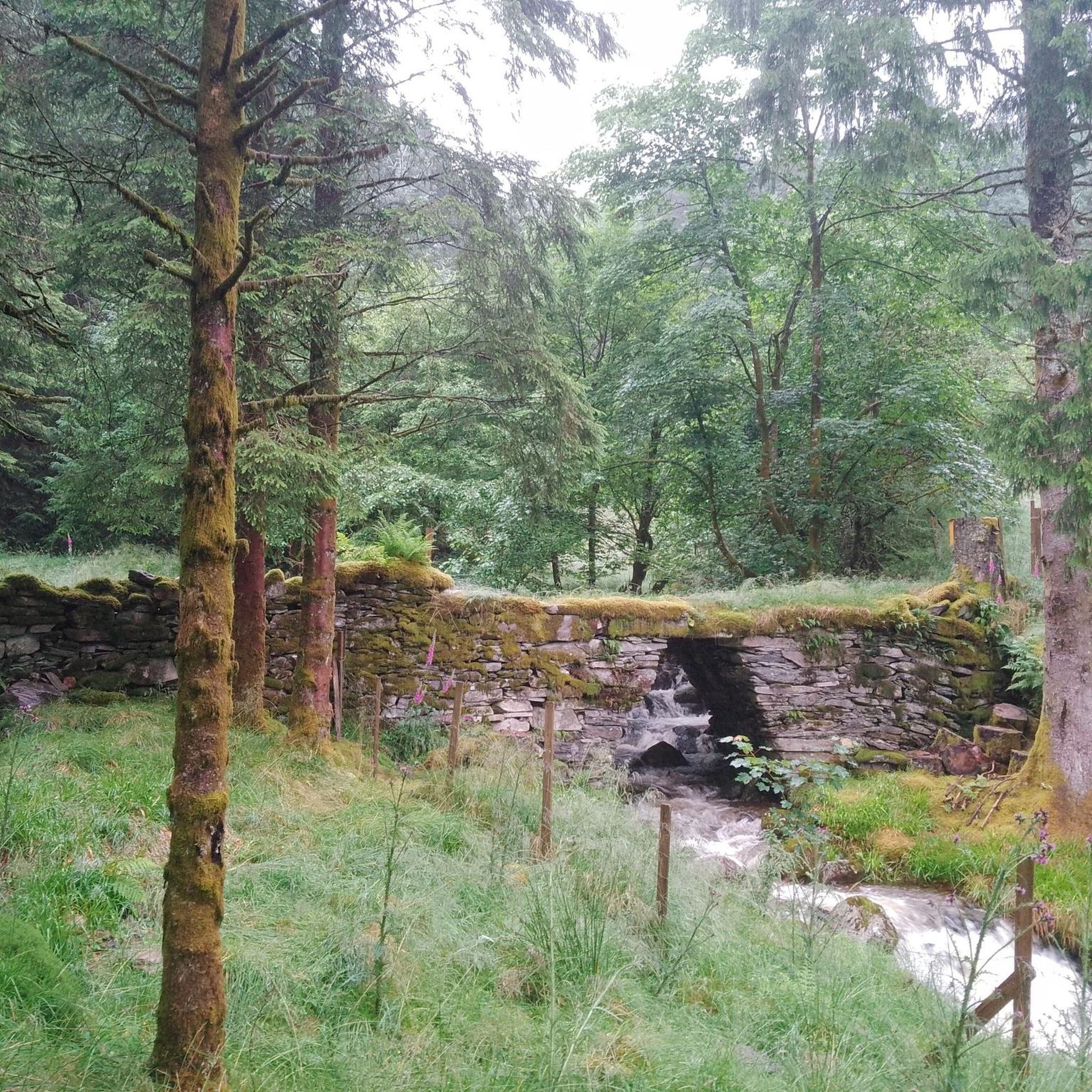

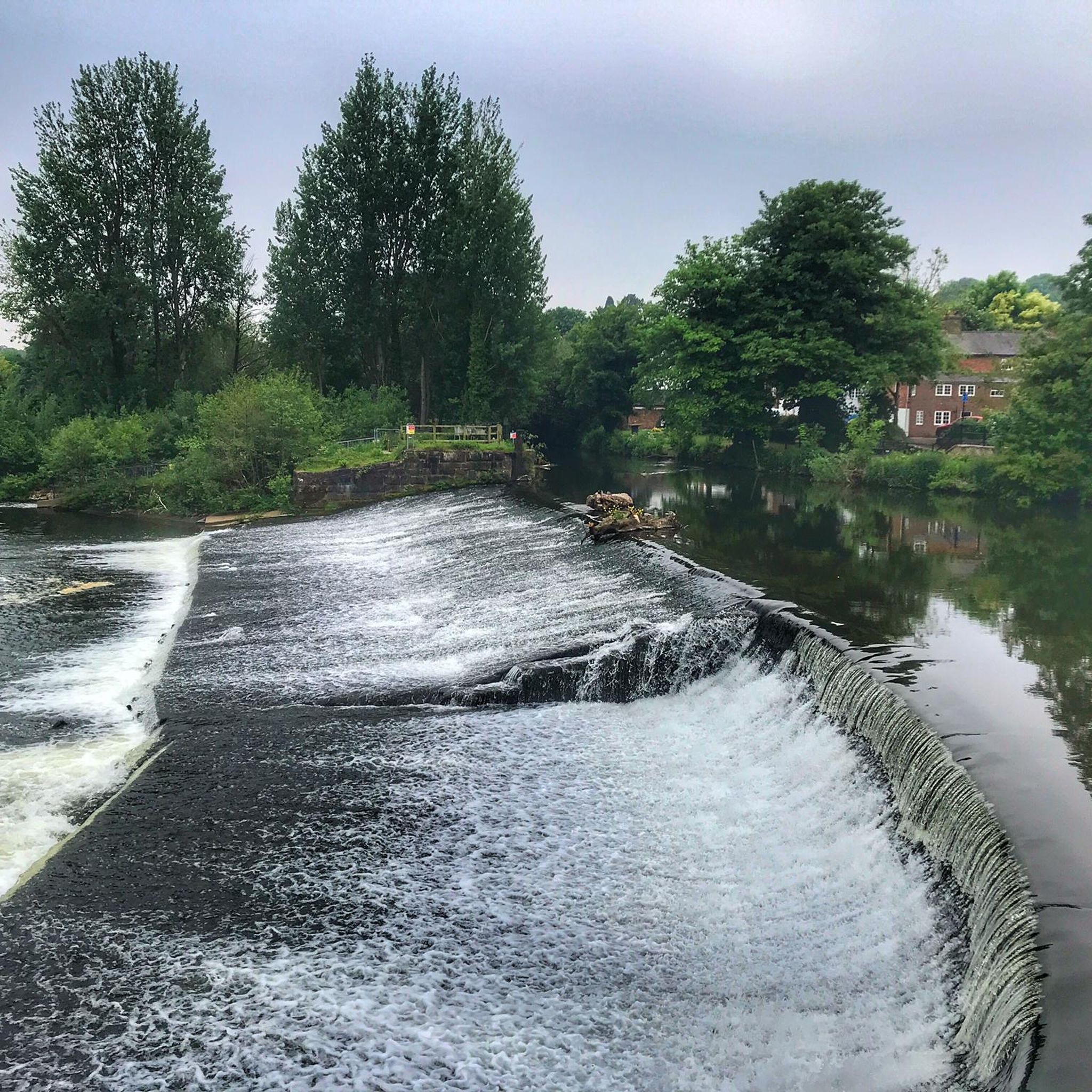
Tips from the Community

Lovely bike ride- nice and steady and a few nice pub stops
0
0

Small town in the national park with visitor centre
1
0


Beautiful tunnel which is very photogenic from Ashbourne end
0
0
Tissington trail great for walking, biking for great views outside
0
0
Tissington trail awesome cliff top to go though great for photos 📸, cafe justed past
0
0
Tissington trail about 28 miles amazing views with cafe and toilets on the way windy in places awesome biking
1
0
Frequently Asked Questions
How many gravel bike trails are available around Barton Blount?
There are 7 gravel bike trails around Barton Blount listed on komoot, offering a variety of experiences for different skill levels.
What kind of terrain can I expect on gravel bike trails around Barton Blount?
You can expect varied terrain, including converted disused railway lines like the Mickleover Greenway, which provide traffic-free and gradually graded paths. The routes also feature picturesque fields, some gentle inclines, and sections with notable elevation gain, offering a mix of easy and challenging surfaces.
Are there family-friendly or beginner-suitable gravel routes in the area?
Yes, the area offers routes suitable for families and beginners. The Badgers Bridge – Mickleover Station loop from Hilton CP is an easy 11.7-mile trail that utilizes parts of the Mickleover Greenway, a former railway line known for its accessible, traffic-free path through the countryside.
What historical landmarks or points of interest can I see along the gravel bike trails?
Many routes pass by historical sites. You might encounter structures like Longford Old Mill and Osmaston Park Sawmill. The region is also home to the site of a 'lost Medieval village' and the impressive Barton Hall, a 15th-century fortified manor house with ornamental gardens and the medieval St Chad's Church nearby.
Are there any natural features or wildlife to look out for while cycling?
Yes, the scenic Derbyshire countryside offers natural beauty. You might cycle through fields, including those of maize that attract butterflies, and observe birds of prey like red kites in the skies. The area also features natural highlights such as Shirley Park Woodland and Pond and Hilton Gravel Pits Nature Reserve.
Are there more challenging gravel routes available for experienced riders?
Yes, for more experienced riders, there are challenging options. The Ashbourne Tunnel – Bradbourne Brook Ford loop from Yeldersley CP is a 18.3-mile trail with notable elevation gain, offering a more demanding ride.
What do other gravel bikers enjoy the most about gravel biking in Barton Blount?
The gravel biking routes around Barton Blount are highly rated by the komoot community, with an average score of 4.9 stars from over 10 reviews. Riders often praise the blend of historical landscapes, the traffic-free nature of converted railway lines, and the picturesque countryside views.
Are there circular gravel bike routes in Barton Blount?
Yes, many of the popular routes are designed as loops. For example, the Mickleover Greenway – Gravel Path to Vickers Wood loop from Etwall CP and the Curly Bridge – Gravel Path to Vickers Wood loop from Mickleover are both circular routes, allowing you to start and end at the same point.
Where can I find parking for gravel bike trails in Barton Blount?
Many routes start from designated car parks. For instance, the Badgers Bridge – Mickleover Station loop starts from Hilton CP, and the Mickleover Greenway – Gravel Path to Vickers Wood loop begins from Etwall CP. Check individual route details for specific parking information.
Are there cafes or pubs along the gravel bike routes for refreshments?
While specific cafes and pubs directly on every route are not detailed, the region's villages and towns, including Mickleover, offer amenities. It's advisable to check local listings or plan your route to pass through these areas for refreshment stops.
Is public transport an option to reach the gravel trails around Barton Blount?
The Mickleover Greenway, a key feature of many routes, is part of the National Cycle Network Route 54, which often has good public transport links to nearby towns. However, direct public transport access to all trailheads in Barton Blount may vary, so checking local bus services to specific starting points is recommended.
What is the best time of year for gravel biking in Barton Blount?
The varied terrain and historical landscapes of Barton Blount can be enjoyed throughout much of the year. Spring and autumn offer pleasant temperatures and vibrant scenery. Summer provides longer daylight hours, while some routes, particularly those on disused railway lines, can be accessible even in milder winter conditions.
Most popular attractions around Barton Blount

Get inspired with the komoot mobile app


Explore more
Browse the best Gravel rides in other regions.
