The best gravel rides around Mouscron
4.5
(519)
3,037
riders
133
rides
Gravel biking around Mouscron offers a diverse landscape characterized by tranquil rural paths, greenways, and riverside routes along the Lys and Scheldt rivers. The region features a blend of open meadows, canal paths like the Lys–Yser Canal, and unpaved tracks through agricultural areas. These varied terrains provide a suitable environment for gravel cyclists seeking both relaxed rides and more extensive explorations.
Best gravel bike trails around Mouscron
- The most popular gravel bike trail is Gravel along the Deûle – Pont…
Last updated: July 8, 2026
4.1
(11)
45
riders
Moderate gravel ride. Good fitness required. Mostly paved surfaces. Suitable for all skill levels.
4.6
(48)
312
riders
44.0km
02:12
80m
80m
Moderate gravel ride. Good fitness required. Mostly paved surfaces. Suitable for all skill levels.

Sign up for free
4.6
(19)
144
riders
Moderate gravel ride. Good fitness required. Mostly paved surfaces. Suitable for all skill levels.
4.0
(1)
8
riders
43.9km
02:27
110m
110m
Moderate gravel ride. Good fitness required. Mostly paved surfaces. Suitable for all skill levels.
9
riders
Moderate gravel ride. Good fitness required. Mostly paved surfaces. Suitable for all skill levels.
4.3
(3)
17
riders
62.8km
03:14
190m
190m
Moderate gravel ride. Good fitness required. Mostly paved surfaces. Suitable for all skill levels.
8
riders
Moderate gravel ride. Good fitness required. Mostly paved surfaces. Suitable for all skill levels.
4.0
(2)
25
riders
Easy gravel ride. Great for any fitness level. Mostly paved surfaces. Suitable for all skill levels.
3
riders
29.7km
02:01
390m
390m
Hard gravel ride. Good fitness required. You may need to push your bike for some segments of this route.
11
riders
23.7km
01:19
40m
40m
Easy gravel ride. Great for any fitness level. Mostly paved surfaces. Suitable for all skill levels.
Get access to more routes and recommendations from other explorers.
Sign up for free
Already have an account?
Our route recommendations are based on thousands of hikes, rides, and runs completed by other people on komoot.
Start today with a free account
Your next adventure awaits.
Login or Signup


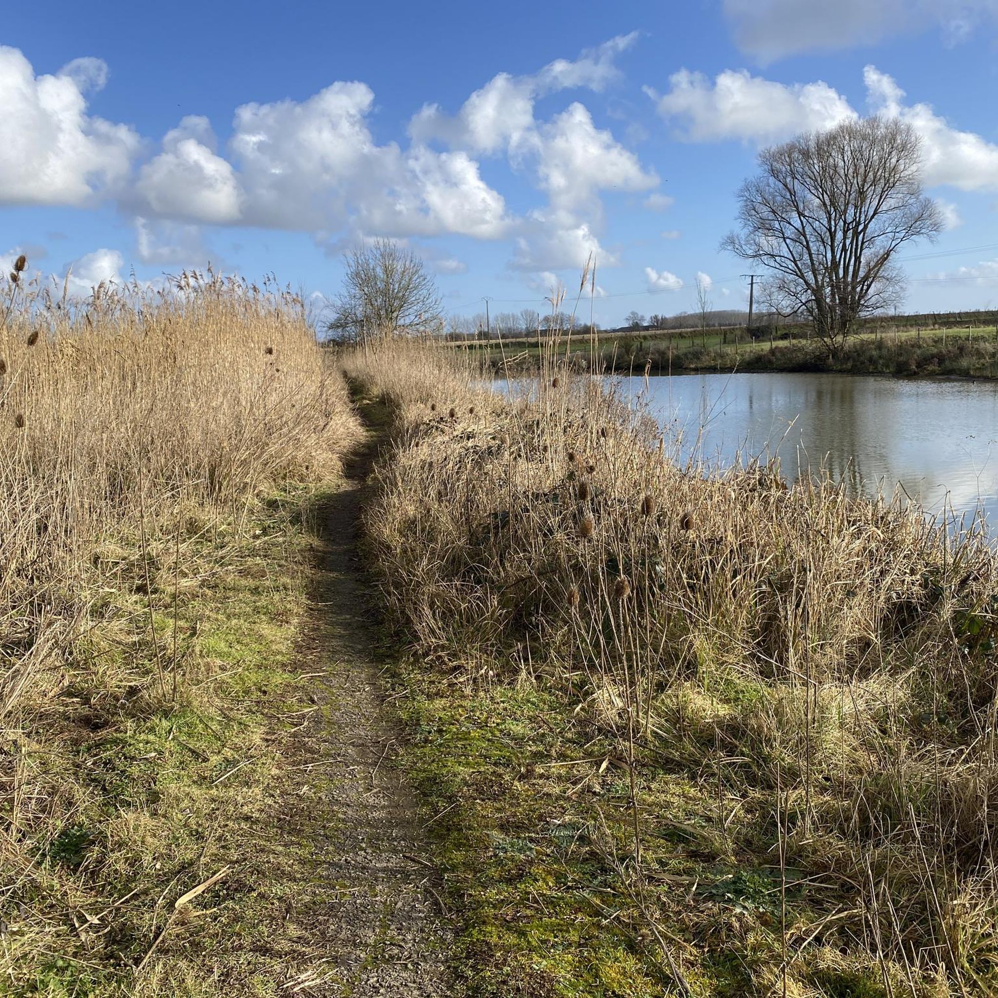
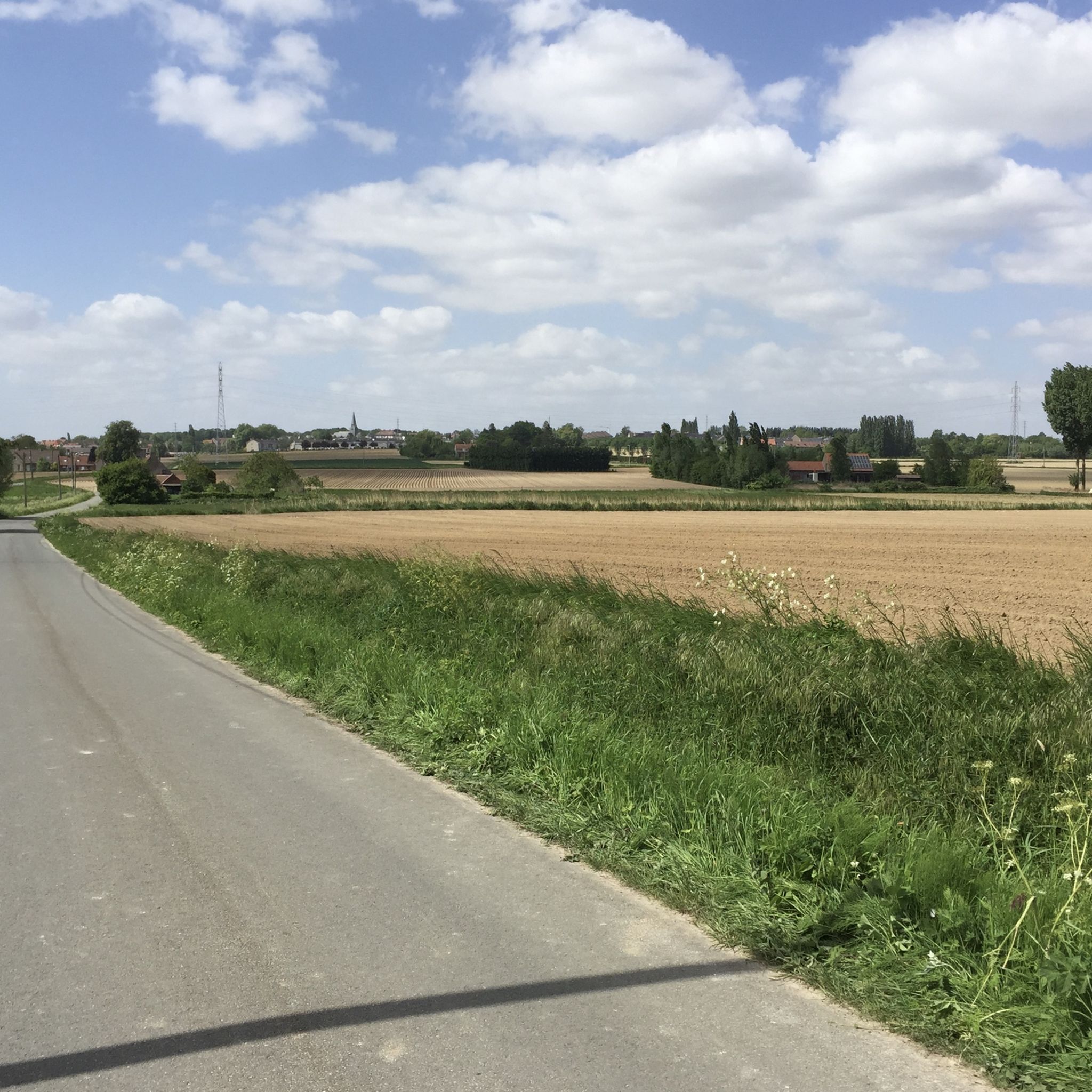
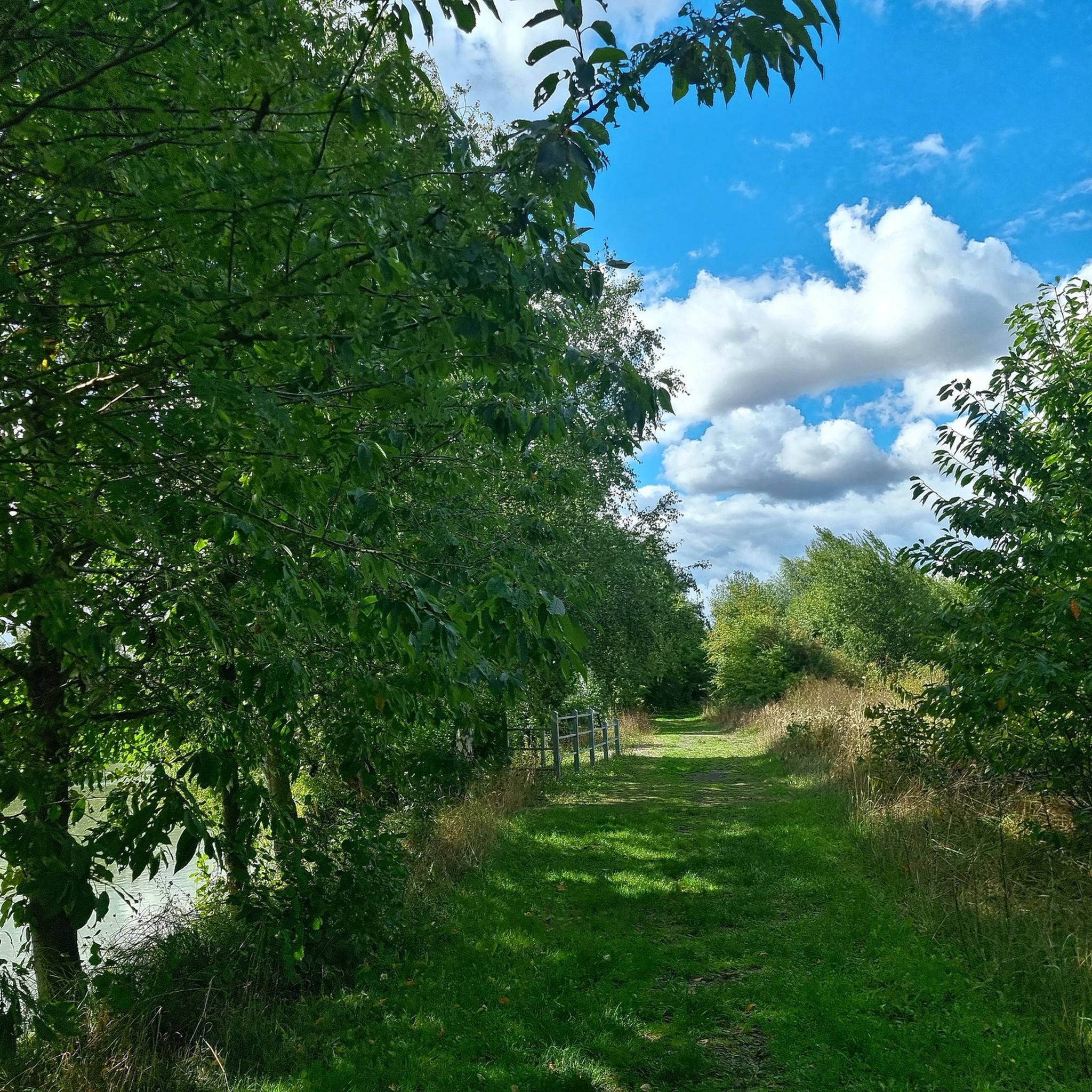
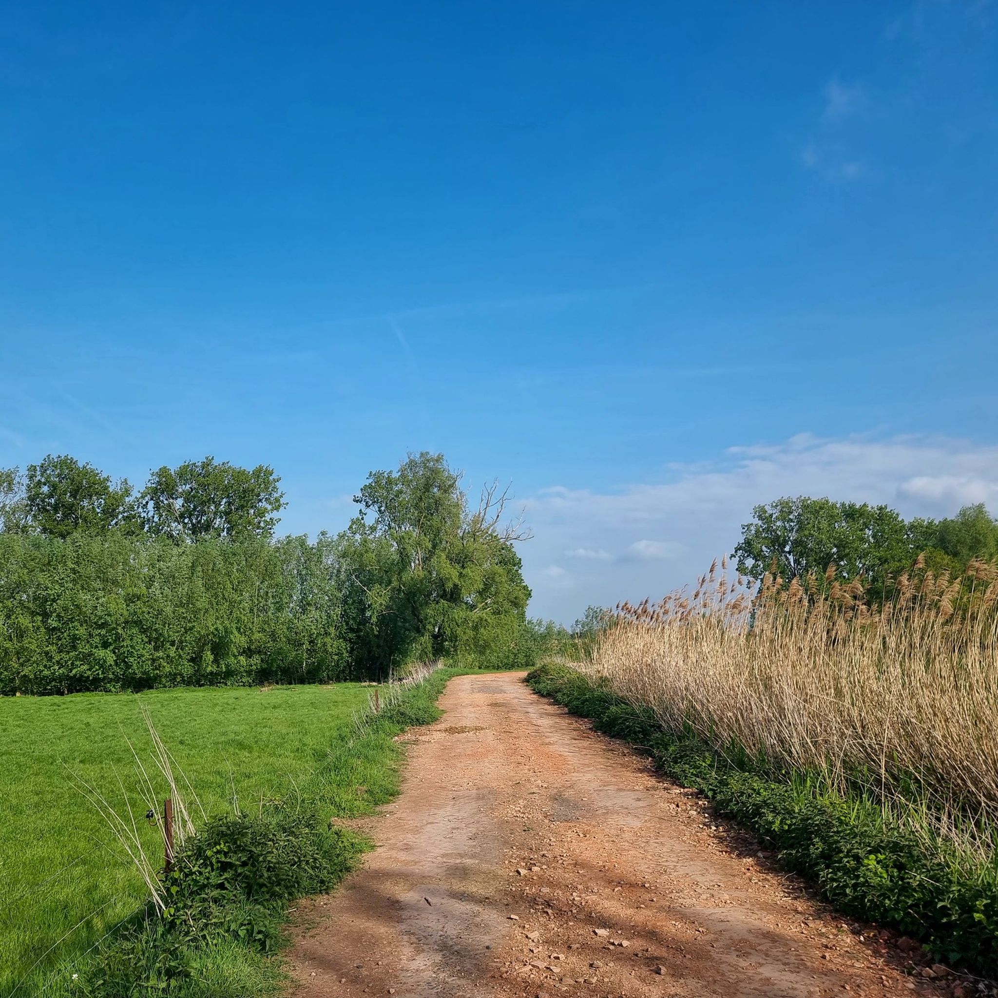
Tips from the Community

***** a journey of discovery through beautiful nature
0
0

Until 1983, the last 300 meters of line 271 000, Roubaix-Wattrelos, ran here. At the other end, it connected to Belgian line 85 to Leupegem, Oudenaarde. The only 3.6 km long and never electrified line 271 000 no longer carried passenger trains after 1932.
3
0
The Mauroy Bridge is one of three movable bridges spanning the canal at Saint-Léger. Each bridge had a bridge keeper's house, where the bridge keeper lived, responsible for opening and closing the bridge each time a ship passed. These houses were often also cafés... or still are, as here. Just beyond the bridge, the old Mauroy farm bordered an imposing castle, the Mauroy Castle, designed by Sanderus in 1644. In 1504, the castle and the Mauroy estate belonged to Arnould de Maulde, a lord of the manor. Source: brochure "Promenade Saint-Léger"
3
0
The Roubaix Canal, or the Espierres Canal, as it's called in French or Belgian, forms part of the link between the Deûle River in France and the Scheldt River in Belgium. In 1843, the two canals were connected between Leers, France, and Leers-Nord, Belgium. Despite damage sustained during the two world wars, the canal was the pinnacle of the region's textile industry for over a hundred years, transporting coal from Belgium to numerous French factories. In Leers-Nord, Belgium, the workers who pulled the coal-laden barges were called "satcheux" (sailors). Next to the lock keeper's house, a stone's throw from France, the crossing point between France and Belgium, a customs guardhouse was built. Customs officers were present to inspect the numerous goods transported by barge. After the decline of the textile industry in the 1970s and 1980s, the canal gradually lost its usefulness and was closed to shipping in 1983. In the early 2000s, the canal was the subject of a cross-border rehabilitation project to allow tourist boats to pass through again. As part of the Interreg Blue Links project, a collaboration between France, Flanders, and Wallonia, it was flooded again. The final works were completed in 2011, and navigation reopened. Since the early 20th century, the Roubaix/Espierres Canal has been a place of conviviality, walking, and fishing for cross-border residents and commuters. Consequently, strong public opposition has arisen to the plan to convert the canal into a motorway. Source: www.caue-nord.com
3
0
From the early 1970s, the development of the new town in this area took shape with the construction of the Heron Park and the Heron Lake. The former hunting lodge was converted into a house divided into two rental apartments. In 1973, the building was acquired by the Public Institution for the Development of the New Town of Lille-East. In December 1982, the building, which had suffered damage since the expropriation, was returned to the municipality of Villeneuve d'Ascq. At the end of 1983, the municipality decided to have the building completely restored by the Compagnons du Devoir (a French craft guild) as part of a training program. Source: information board on site
3
0

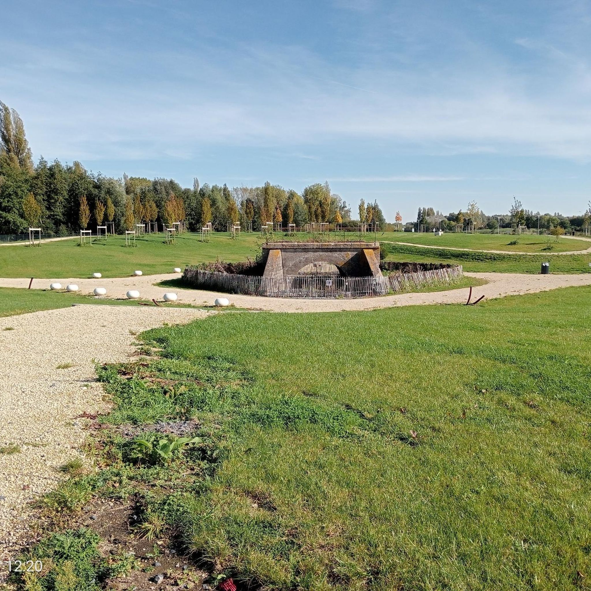
Former railway line. There are numerous marked crossings for crossing the roads. Beware of blind spots which may conceal the approach of a car.
0
0

Great spot for slaloming on footbridges and paths with a little relief. Watch out for pedestrians.
0
0

The parish was founded in 1069. Originally, there was a Romanesque cruciform church. Eventually, there was a three-aisled hall church with a crossing tower and an octagonal superstructure. In 1794, the church was destroyed by fire. From 1805 to 1807, the church was restored. The eastern choir was demolished, leaving the crossing tower, particularly its lower structure, to form a portal. On the west side, the nave was extended and a new choir was built. During the First World War, the church was largely destroyed, but the tower was more or less spared. The church was rebuilt in the 1920s under the architecture of Jules Coomans. https://nl.wikipedia.org/wiki/Sint-Eligiuskerk_(Westouter)
2
0
Frequently Asked Questions
How many gravel bike trails are available around Mouscron?
There are over 200 gravel bike trails around Mouscron, offering a wide variety of routes for different skill levels and preferences. The komoot community has explored these trails over 2900 times, highlighting the region's popularity for gravel biking.
What kind of terrain can I expect on gravel bike trails near Mouscron?
Gravel biking around Mouscron offers a diverse landscape. You'll find tranquil rural paths, dedicated greenways, and scenic riverside routes along the Lys and Scheldt rivers. The terrain often includes open meadows, canal paths like the Lys–Yser Canal, and unpaved tracks through agricultural areas, providing a mix of smooth and slightly rougher surfaces suitable for gravel bikes.
Are there any beginner-friendly gravel bike routes in Mouscron?
Yes, Mouscron offers several easy gravel bike routes perfect for beginners. For example, the Greenway Tourcoing - Halluin – Bois Leurent Park loop from Tourcoing is an easy 18.2-mile (29.3 km) trail with minimal elevation, ideal for a relaxed ride.
Are there any challenging gravel routes for experienced riders?
For more experienced riders seeking a challenge, the Mouscron area offers routes with greater elevation gain. The Kemmelberg cobbled climb – Mont Noir (West) loop from Armentières is a difficult 42.7-mile (68.7 km) route featuring significant climbs, including the famous Kemmelberg, and takes approximately 5 hours 35 minutes to complete.
What are some scenic gravel bike routes with good viewpoints?
Many routes offer scenic views, particularly those along the rivers and canals. The Towpath of the Lys – Pont Rouge loop from Armentières provides picturesque views along the Lys river. Additionally, the Pont Rouge itself is a notable spot offering pleasant views over the canal and surrounding countryside, and can be accessed via several routes.
What attractions or landmarks can I see along the gravel bike trails?
You can encounter several interesting landmarks and natural features. The Pont Rouge is a prominent feature on many routes, offering views over the canal. You might also pass by historical sites such as the Moeskroen Castle, a 15th-century moated castle, or the Marcel Marlier Center. The region's greenways and canal paths also showcase diverse plant and animal life.
Are there any loop gravel bike routes around Mouscron?
Yes, many gravel bike routes in the Mouscron area are designed as loops, allowing you to start and end at the same point. An example is the Heron Lake – Greenway Hem-Anstaing loop from Herseaux - Herzeeuw, a moderate 27.3-mile (43.9 km) trail that offers a circular journey through varied landscapes.
What do other gravel bikers enjoy most about gravel biking in Mouscron?
The area is highly rated by the komoot community, with an average score of 4.6 stars from over 390 reviews. Reviewers often praise the diverse landscape, including tranquil rural paths, greenways, and riverside routes, as well as the well-maintained paths that make for an enjoyable gravel biking experience.
Are there family-friendly gravel biking options in Mouscron?
Yes, the flat and quiet nature of many greenways and canal paths makes them suitable for families. The Warneton Greenway along the Lys River, for instance, is known for its pleasant and flat cycling path, ideal for relaxed rides with children. The Parc Communal de Mouscron also offers spacious green areas with paved paths for leisurely rides.
Can I bring my dog on the gravel bike trails?
Many of the rural paths, greenways, and canal towpaths around Mouscron are generally dog-friendly, especially if your dog is accustomed to running alongside a bike or can be carried in a trailer. However, it's always recommended to keep dogs on a leash and be mindful of other trail users and local regulations, particularly in more populated areas or nature reserves.
What is the best time of year for gravel biking in Mouscron?
The spring and autumn months are generally ideal for gravel biking in Mouscron, offering pleasant temperatures and vibrant scenery. Summer can also be enjoyable, especially on shaded routes. While winter riding is possible, be prepared for potentially muddy conditions on unpaved sections and cooler temperatures.
Are there cafes or places to stop for refreshments along the routes?
Given Mouscron's blend of urban green spaces and proximity to charming villages, you'll likely find cafes and small eateries in towns and villages along or near many routes. The Parc Communal de Mouscron, for example, is within the city and can serve as a starting point or a place to find refreshments.
How long are the gravel bike trails near Mouscron?
The gravel bike trails around Mouscron vary significantly in length. You can find shorter routes, such as the easy 18.2-mile (29.3 km) Greenway Tourcoing - Halluin – Bois Leurent Park loop from Tourcoing, up to longer, more challenging rides like the difficult 42.7-mile (68.7 km) Kemmelberg cobbled climb – Mont Noir (West) loop from Armentières.
Most popular routes around Mouscron
Most popular attractions around Mouscron

Get inspired with the komoot mobile app


Didn’t find what you were looking for?
Check out more Gravel rides throughout Mouscron below and find the perfect route in your destination.
Explore more
Browse the best Gravel rides in other regions.
