The best gravel rides around Aubange
4.5
(59)
675
riders
76
rides
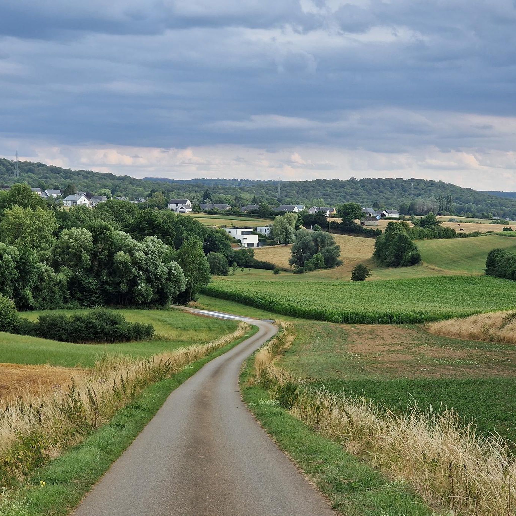
Gravel biking around Aubange offers diverse landscapes, extensive forest networks, and varied cycling routes. The region is characterized by a mix of paved roads, gravel paths, and unpaved sections, providing a dynamic experience for gravel bikers. Situated at the crossroads of Belgium and Luxembourg, Aubange features rolling hills, river valleys, and former railway lines converted into cycle paths. This terrain provides options for different skill levels, from gentle forest trails to more challenging climbs.
Best gravel bike trails around Aubange
…Last updated: July 8, 2026
4.7
(9)
53
riders
39.0km
03:13
520m
520m
Hard gravel ride. Very good fitness required. Mostly paved surfaces. Suitable for all skill levels.
5.0
(1)
47
riders
74.1km
04:40
830m
830m
Hard gravel ride. Very good fitness required. You may need to push your bike for some segments of this route.

Sign up for free
7
riders
Hard gravel ride. Very good fitness required. Mostly paved surfaces. Suitable for all skill levels.
5.0
(1)
12
riders
55.9km
03:33
640m
640m
Hard gravel ride. Very good fitness required. Mostly paved surfaces. Suitable for all skill levels.
12
riders
34.6km
02:34
470m
470m
Hard gravel ride. Very good fitness required. Mostly paved surfaces. Suitable for all skill levels.
Get access to more routes and recommendations from other explorers.
Sign up for free
Already have an account?
Our route recommendations are based on thousands of hikes, rides, and runs completed by other people on komoot.
Start today with a free account
Your next adventure awaits.
Login or Signup
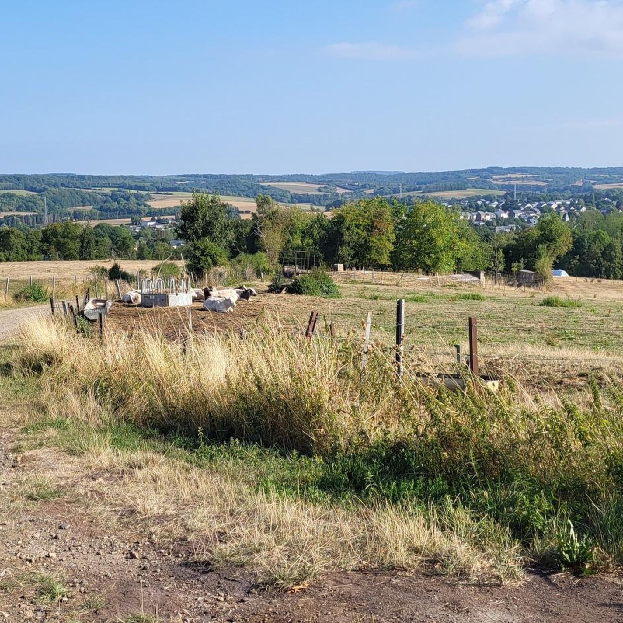
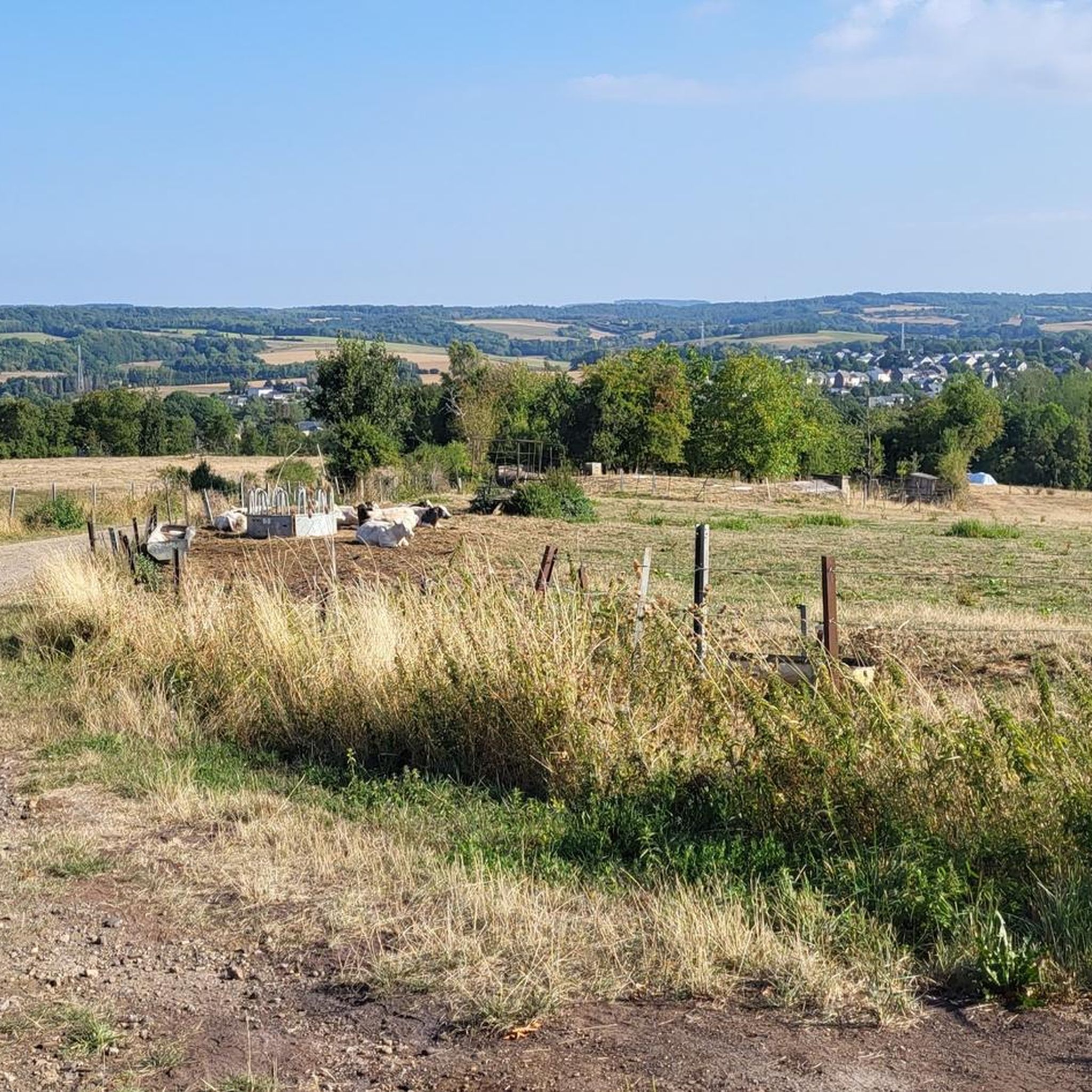
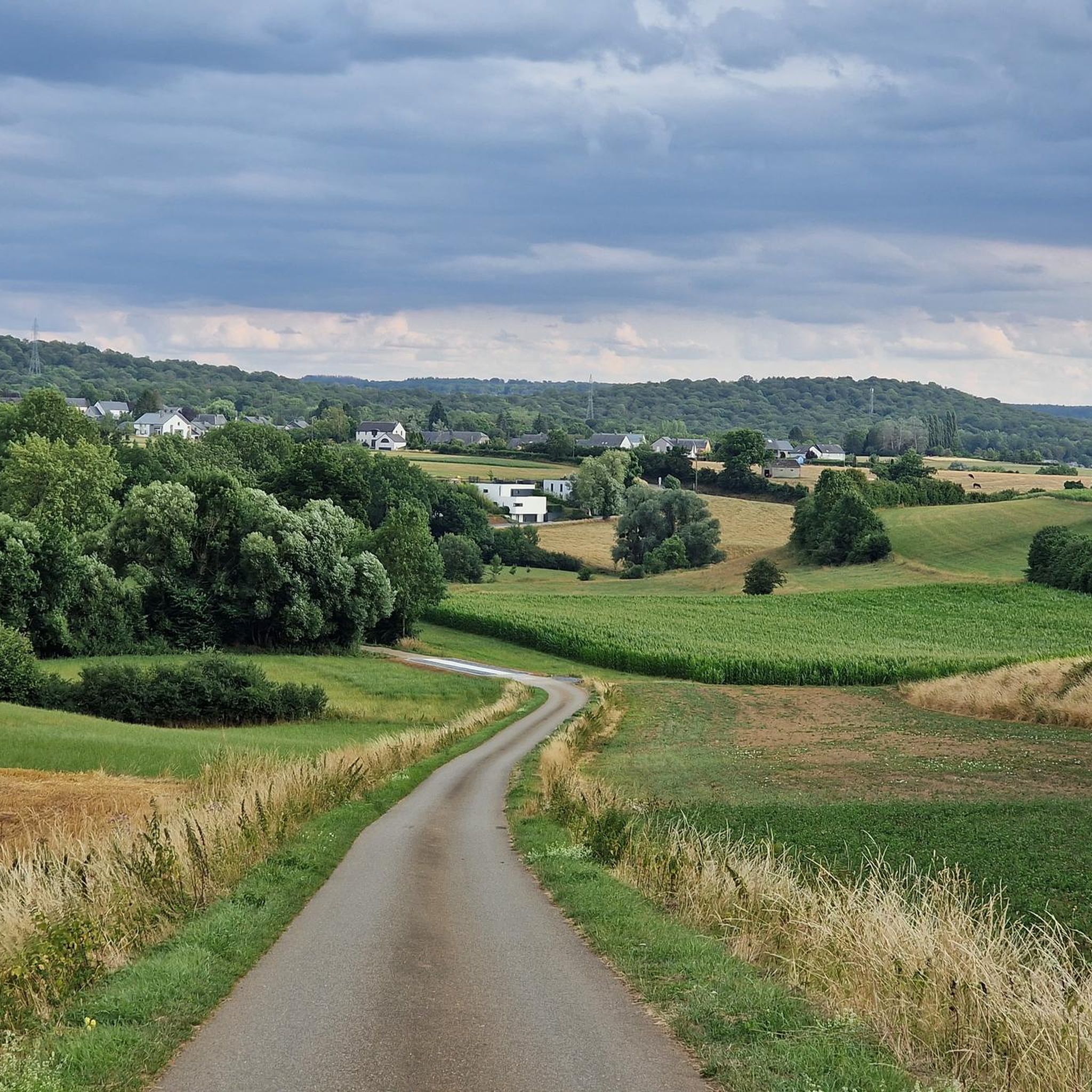
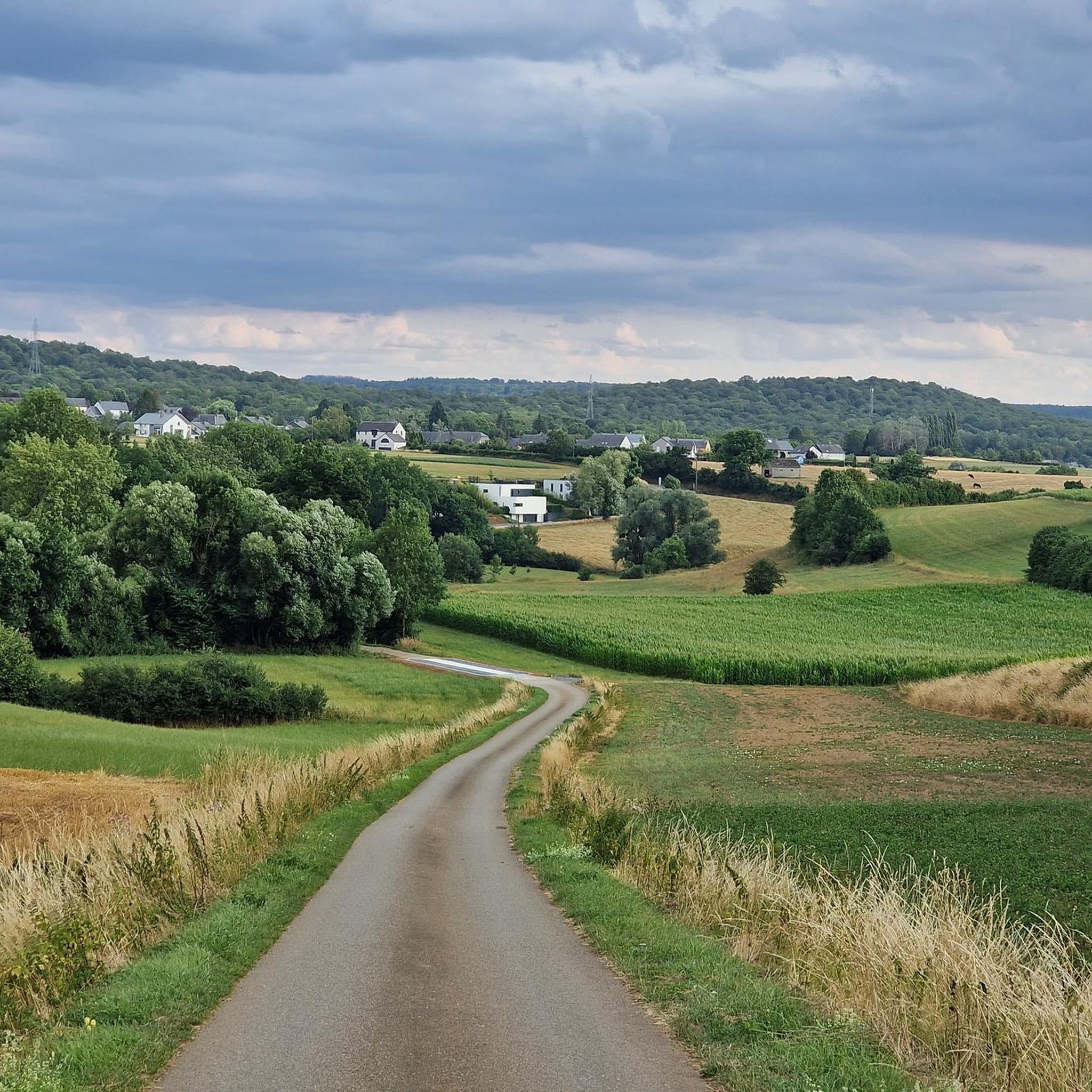
Tips from the Community

Super park, with playground for children and football field. Well flowered.
0
0
Super, small viewpoint above the river
0
0
Chapel near the summit of Kirchberg
0
0
Beautiful lake, for walking, cycling, fishing
0
0

Beautiful cycling environment with nice descents.
0
0
A truly peaceful place to unwind. Also suitable as a picnic spot.
0
0

The Trench of Gates: Gateway to Gaume, Gateway to Legends 1. What is it? Physical Description The Trench of Gates is a deep and spectacular rocky gorge, naturally carved by the Vire River (a tributary of the Semois) into the sandstone plateau of the Gaume forest. Located in the village of Dampicourt (commune of Rouvroy), on the French border, it forms a narrow and winding notch, framed by high sandstone walls and strangely shaped rocks. Its name comes from its topography: the site gives the impression of crossing several successive natural "gates." 2. A Strategic Position: Military History The true fame of the Trench of Gates comes from its historical role as a natural fortress and strategic border post. A Gallic Stronghold? : Its easily defensible configuration suggests that it was used as a refuge since the Gallic era. The Roman Fort: Its strategic role became evident during the Roman era. The Romans established a castellum (a fortified camp) there to control the passage between Belgic Gaul and Imperial Trier, and to protect the nearby Roman road. Remains of these fortifications were still visible several centuries ago. A Millennial Challenge: Due to its position on the border, the site has been contested and fortified throughout history, from the Middle Ages to modern wars. It offered an ideal control point over one of the few passable passages through the region's wooded terrain.
1
0

nice restaurant/bistro along the PC
0
0
Frequently Asked Questions
How many gravel bike trails are available in Aubange?
Aubange offers a wide selection of gravel biking opportunities, with over 90 routes available. These range from easy forest paths to more challenging climbs, catering to various skill levels.
What kind of terrain can I expect on gravel bike trails around Aubange?
The terrain around Aubange is diverse, featuring extensive forest networks, rolling hills, and river valleys. You'll encounter a mix of paved roads, gravel paths, and unpaved sections. Many routes, like the Brasserie At the Station, Clemency – Attert Cycle Path (PC 12) loop from Aubange, follow historic railway lines, offering a unique blend of scenery and surface types.
Are there any family-friendly gravel bike routes in Aubange?
Yes, the region offers routes suitable for families. The Attert Cycle Path (PC 12), which is part of some routes, is known for being a perfect trail for family expeditions, often following old railway lines with gentler gradients. Look for routes categorized as 'easy' for the most family-friendly options.
Can I bring my dog on gravel bike trails in Aubange?
While many forest paths are generally dog-friendly, it's always best to check local regulations for specific trails, especially those crossing into Luxembourg. Ensure your dog is well-behaved and kept on a leash where required, particularly in nature reserves or near wildlife.
Are there any gravel bike routes that feature waterfalls or other natural attractions?
Yes, some routes will lead you to natural attractions. For instance, the Trou du Pérou Waterfall – Tranchée des Portes Oppidum loop from Rachecourt specifically features a waterfall. Additionally, you might encounter highlights like Giele Botter Nature Reserve on other routes.
What are some notable landmarks or points of interest along the gravel bike routes?
Gravel bike routes in Aubange often pass by interesting landmarks. You can explore sections of the Attert Cycle Path (PC 12), which follows an old railway line, or the PC 12 Forest Path near Steinfort with its scenic views. Other points of interest include the Ruins of the Titelberg Oppidum and various lakes such as Lake Messancy.
Are there any long-distance gravel bike routes for experienced riders?
Absolutely. For experienced riders seeking a longer challenge, routes like the Brasserie At the Station, Clemency – Attert Cycle Path (PC 12) loop from Aubange cover over 72 km with significant elevation gain, offering a demanding yet rewarding experience. Many of the 'difficult' rated tours provide extensive mileage and climbing.
Where can I park my car when starting a gravel bike tour in Aubange?
Parking is generally available in and around Aubange, as well as at common starting points for routes. For example, routes often start from towns like Aubange, Doihl, or Halanzy, where public parking facilities can be found. Specific parking details are usually available on individual route pages.
Is it possible to access gravel bike trails in Aubange using public transport?
Aubange and nearby towns like Athus have public transport connections, including train stations, which can facilitate access to the region. From these points, you can often cycle directly to trailheads. It's advisable to check local bus and train schedules for specific connections to your desired starting point.
What is the best time of year for gravel biking in Aubange?
The best time for gravel biking in Aubange is typically from spring through autumn. During these seasons, the weather is generally milder, and the forest paths are more accessible. Spring brings lush greenery, while autumn offers beautiful fall foliage. Winter can be challenging due to colder temperatures and potentially muddy or icy conditions on unpaved sections.
Are there any specific regulations or permits needed for cycling in the Luxembourg Province or crossing into Luxembourg?
Generally, no special permits are required for recreational cycling on public paths in the Luxembourg Province of Belgium or when crossing into Luxembourg on designated cycle routes like the PC 12. However, always respect local signage, especially in nature reserves, and be aware of different traffic laws when crossing borders.
Can I find circular gravel bike routes around Aubange?
Yes, many of the gravel bike routes around Aubange are designed as loops, allowing you to start and end at the same point. Examples include the Forest Singletrack Trail – Singletrack Trail on the Ridge loop from Doihl and the Bridge Over the Messancy – Scenic Concrete Cycle Path loop from Halanzy, providing convenient options for exploration.
What do other gravel bikers say about the trails in Aubange?
The gravel biking routes in Aubange are highly rated by the komoot community, with an average score of 4.4 stars from over 50 reviews. Riders often praise the diverse landscapes, the extensive forest networks, and the engaging mix of paved and unpaved sections that make for a dynamic experience.
Are there options for less experienced gravel bikers?
Yes, Aubange caters to various skill levels. While many routes are rated 'difficult,' there are also 'moderate' and 'easy' options available. These typically feature less elevation gain and smoother surfaces, making them suitable for beginners or those looking for a more relaxed ride. Look for routes with shorter distances and lower elevation profiles.
Most popular attractions around Aubange

Get inspired with the komoot mobile app


Explore more
Browse the best Gravel rides in other regions.
