The best gravel rides around Crisnée
5.0
(5)
112
riders
4
rides
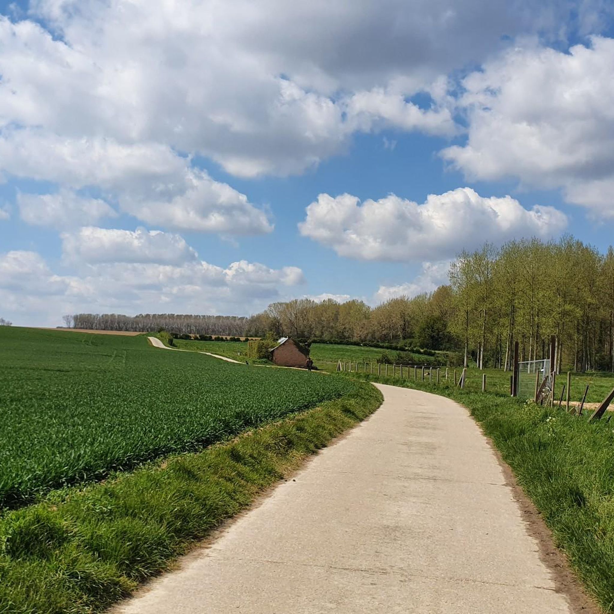
Gravel biking around Crisnée offers a network of routes featuring varied terrain suitable for off-road cycling. The region typically presents a mix of agricultural paths, quiet country roads, and some wooded sections, providing diverse surfaces for gravel bikes. The landscape often includes gentle undulations rather than significant climbs, making it suitable for different skill levels. The area is characterized by its rural setting within the Hesbaye Liégeoise plateau.
Best gravel bike trails around Crisnée
- The most popular gravel bike trail…
Last updated: July 2, 2026
5.0
(1)
61
riders
Hard gravel ride. Very good fitness required. You may need to push your bike for some segments of this route.
5.0
(1)
18
riders
79.8km
04:40
500m
500m
Hard gravel ride. Very good fitness required. You may need to push your bike for some segments of this route.

Sign up for free
5.0
(1)
16
riders
32.6km
01:49
200m
200m
Hard gravel ride. Good fitness required. You may need to push your bike for some segments of this route.
5.0
(2)
14
riders
50.6km
03:05
380m
380m
Hard gravel ride. Good fitness required. You may need to push your bike for some segments of this route.
3
riders
46.6km
02:43
280m
280m
Hard gravel ride. Good fitness required. You may need to push your bike for some segments of this route.
Our route recommendations are based on thousands of hikes, rides, and runs completed by other people on komoot.
Start today with a free account
Your next adventure awaits.
Login or Signup
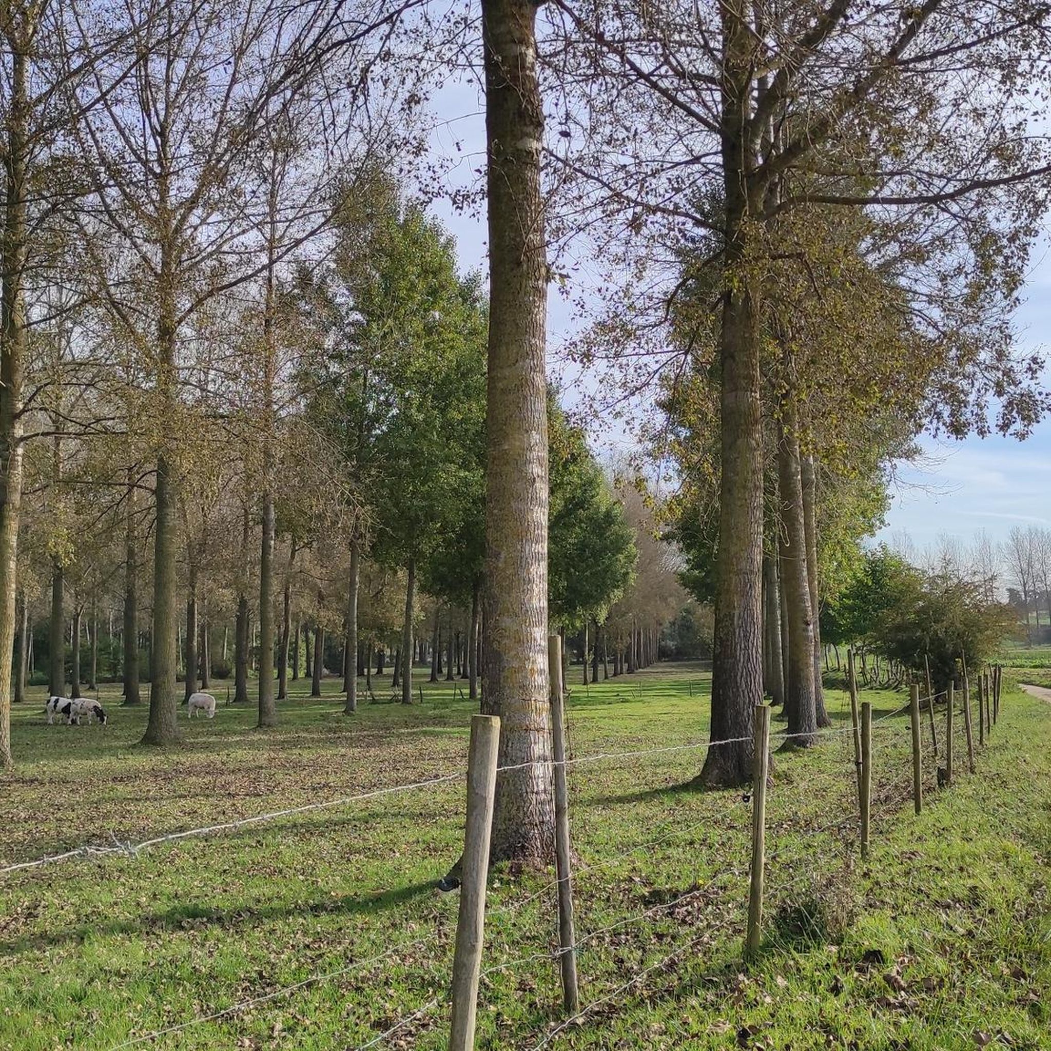
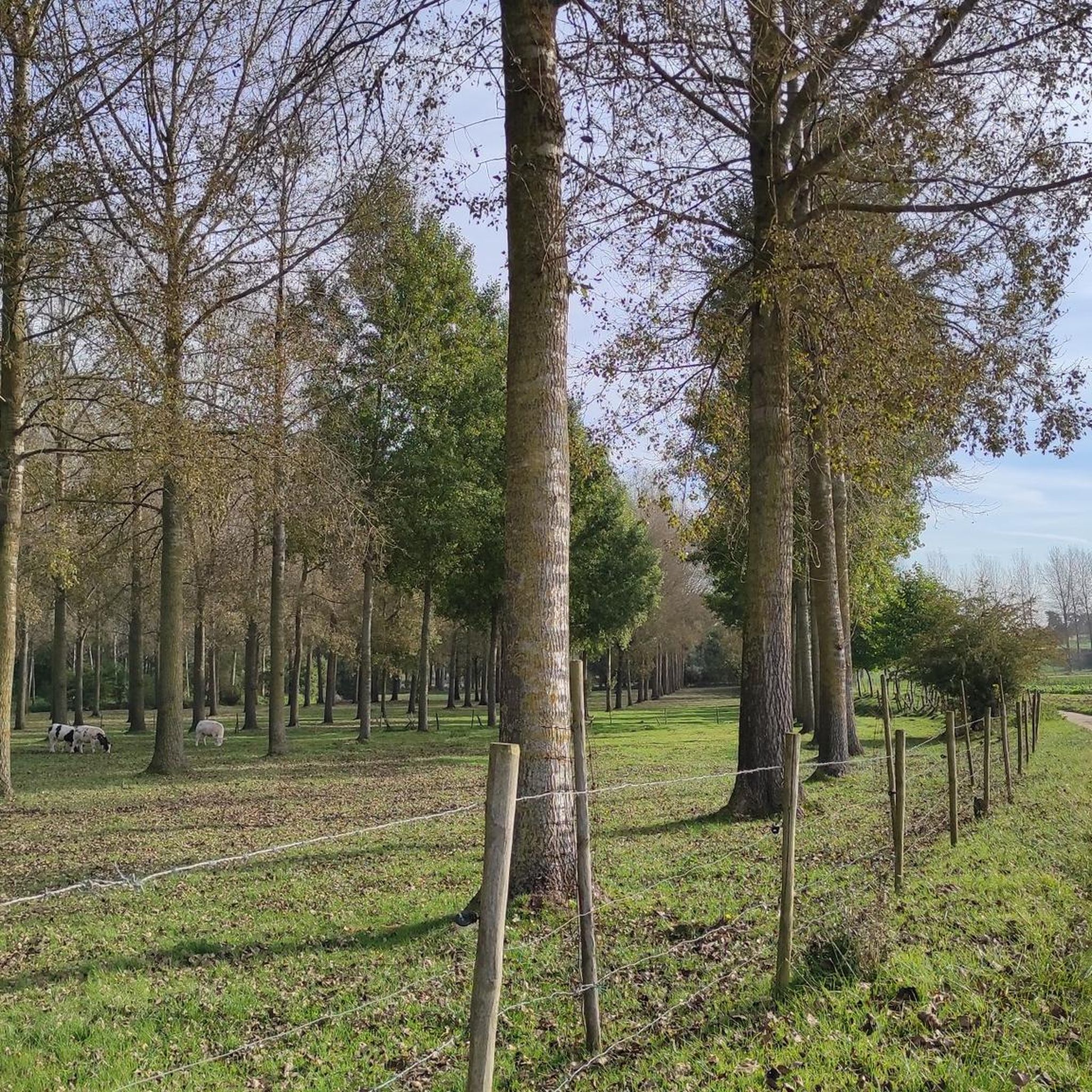
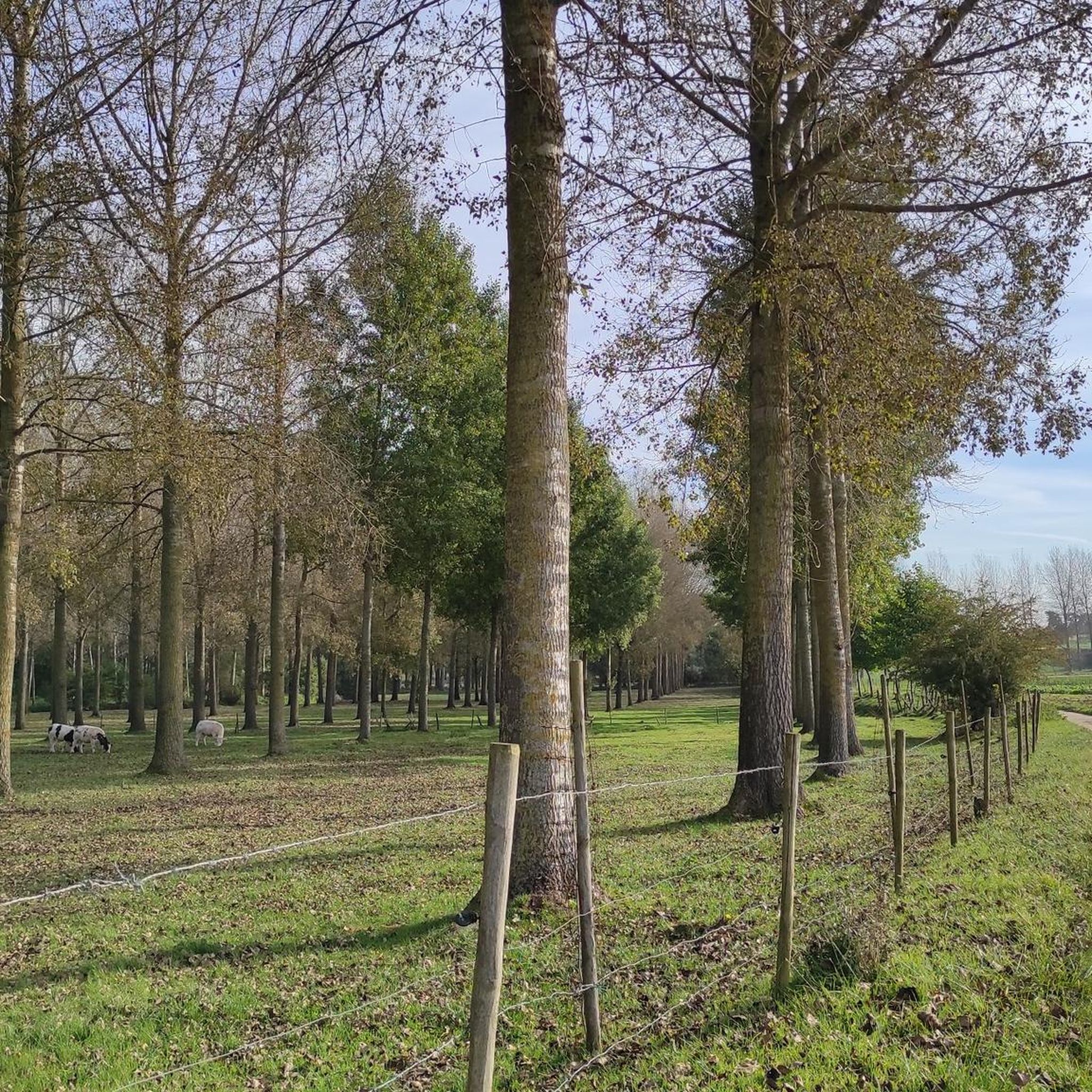
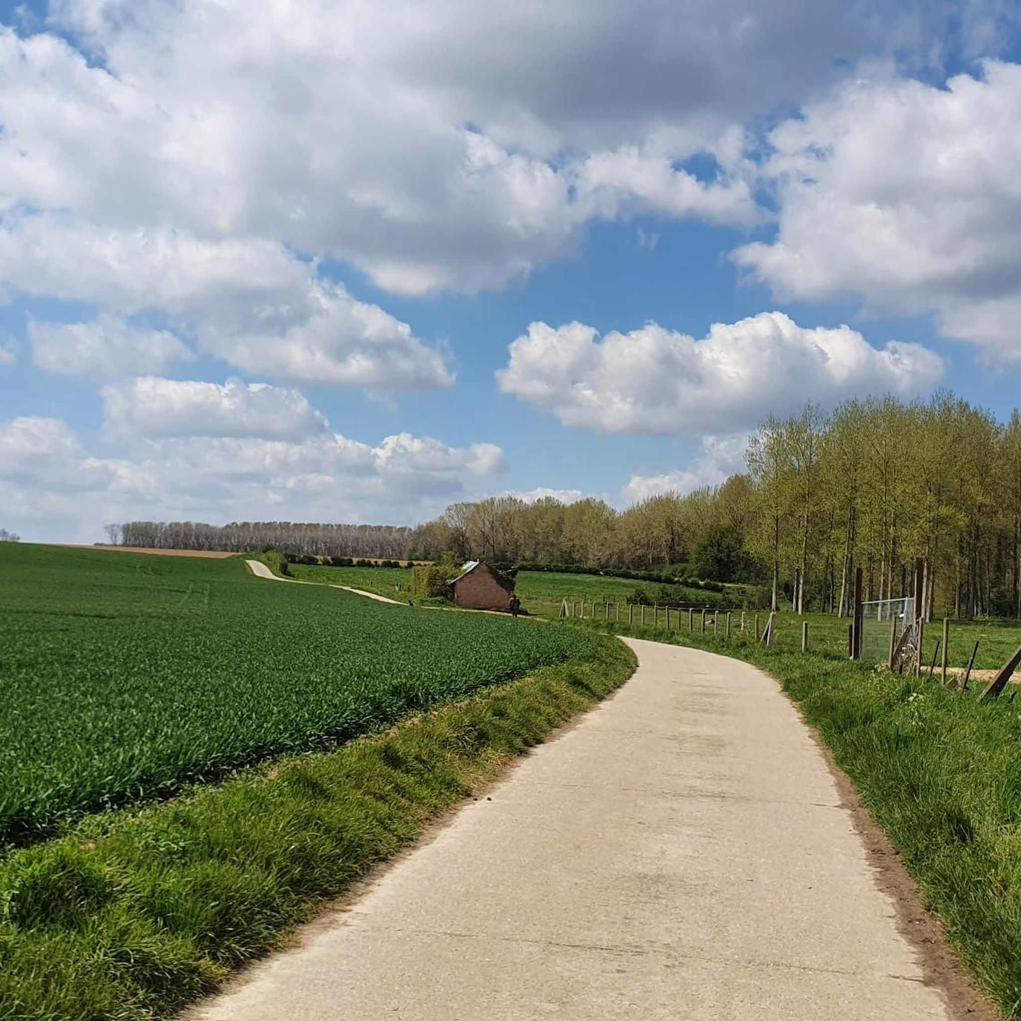
Tips from the Community

The new Castle De Klee was built on behalf of and for the baroness Sneyers-d'Attenhoven in 1904-07. After a fire in 1933, it was restored again. The whole is located in a landscape-style park, enclosed by an iron entrance gate between bluestone pillars.
4
0

Cycling across the heath takes you right through the Hoge Kempen National Park. In this park, vast pine forests alternate with endless heathlands. Thanks to the new connection between cycle nodes 550 and 551, nature is presented to you on a platter. You cycle across the Mechelse Heide, with 700 hectares, one of the largest heathland areas in Flanders. The highlight of this route is undoubtedly the almost 300-meter-long wooden bridge, a recognizable element in the landscape. From the bridge, you have a panoramic view of the natural surroundings.
0
0
On the border of the poor Kempen and fertile Haspengouw lies the Munsterbos. Northeast of the village center of Munsterbilzen, 450 hectares of forests, ponds, marshes, and grasslands stretch out. Here and there, even a patch of purple heather peeks through. The area is so special due to its location on the transition from the sandy Kempen Plateau to the Haspengouw clay region.
4
0
This section, together with the water lock and the outer bailey, belongs to the oldest parts: in the Apostles' House, remains of the late Gothic ordinance from the second half of the 16th century from the building campaign of Land Commander Wijnandt van Brijel have been preserved. The complex is located at the highest point of the domain, on the eastern side of the commandery. Seven avenues converge at the gate, symbolizing the Seven Sorrows and Joys of Mary. To the right of the gatehouse was the now disappeared Apostles' House; it was an L-shaped building of two storeys, with a chapel on the ground floor, and twelve rooms for needy men, hence the name Apostles' House; late Gothic core from the second half of the 16th century, enlarged and adapted in 1716-1726, under Commander Damian Hugo von Schönborn, as indicated by a facade stone. After World War II, the Apostles' House slowly deteriorated but has since been restored.
2
0
The Katteberg is said to owe its name to a quarry in the nearby Leten called 'In de Kat'. This nature reserve on the Demer is very varied with its fish ponds, species-rich meadows, rough areas, an orchard and a slope forest. The walking path that leads via the Leterweg to Alden Biesen follows the route of a vanished tram line. This was built in 1908-1910 to connect the industrial area of Liège with the Limburg coal mines. The tram line had to bridge a height of 25 meters here and crossed the Demer via a double arched bridge in masonry. The tram tracks were removed in 1952. The pond behind the tram bridge was created by the extraction of clay for the Belisia tile factory in the Zeepstraat.
5
0

The Katteberg follows the route of an old tramway. A climb not to be underestimated awaits you here. Historical context: This semi-hardened gravel path follows the route of the former tram line that connected the coal mines of Genk with the industrial area of Liège. The construction of the tram line began in 1908. To overcome the difference in altitude between the station and the hamlet of Leten, an earthen embankment was built over a distance of 700 meters, cutting straight through the Katteberg. A double arch bridge in masonry was built over the Demer river. The steam tram was put into operation in 1910 and caused a huge increase in passenger traffic in the region. The tram was definitively taken out of service in August 1948. The tram tracks were removed in 1952. Now, this is a route where recreational users, hikers, and cyclists can cross paths. Each at their own pace, enjoying together.
7
0
Hollow roads are not only important for nature, they also play a valuable role in agriculture and in our free time. Together with other slow roads, they form the perfect routes for hikers, riders, and cyclists to fully enjoy the landscape.
6
0

Architectural Features: Construction Period --> Medieval core (13th–14th centuries), later remodeled in the Baroque style Function --> Access control, representation, protection Building Material --> Brick with natural stone detailing Design --> Arched gateway with flanking towers, heraldic or religious symbols Location --> Transition from the outer bailey to the inner courtyard
23
1
Frequently Asked Questions
What is the typical difficulty level of gravel bike trails around Crisnée?
The gravel biking routes around Crisnée primarily cater to experienced riders. Out of the 8 available routes, 2 are classified as moderate, and 6 are considered difficult, featuring longer distances and more challenging ascents.
Are there any gravel bike trails suitable for beginners in Crisnée?
While there are no routes specifically categorized as 'easy' for gravel biking in Crisnée, you can find a couple of moderate options. The Market Square, Tongeren – Blossom Trail loop from Tongeren is a good example, offering a 70.2 km ride through open landscapes.
What kind of terrain can I expect on gravel bike routes in Crisnée?
Gravel biking in Crisnée features a diverse mix of surfaces. You'll encounter agricultural paths, quiet country roads, and some wooded sections. The landscape is characterized by gentle undulations rather than steep climbs, providing varied terrain for off-road cycling.
What do other gravel bikers enjoy most about riding in Crisnée?
The gravel biking routes in Crisnée are highly rated by the komoot community, with an average score of 4.7 stars from over 12 reviews. Riders often praise the varied terrain, the blend of rural scenery, and the options for longer, more challenging routes through the countryside.
Are there any long-distance gravel routes for experienced riders?
Yes, Crisnée offers several long-distance routes for experienced gravel bikers. For instance, the Alden Biesen Gatehouse – Cycling through the Mechelse Heide loop from Tongeren is a challenging 116.8 km trail that typically takes over 8 hours to complete.
Can I find any loop trails for gravel biking in Crisnée?
Many of the gravel biking routes in Crisnée are designed as loops. For example, the Market Square, Tongeren – Statue of Ambiorix loop from Tongeren offers a 67.7 km circular ride, perfect for exploring the region without retracing your steps.
What are some interesting places to explore or landmarks to see near the gravel routes?
Around Crisnée, you can discover several interesting landmarks and natural sights. Highlights include the unique Reading Between the Lines (See-Through Church), the scenic Grootloon High-Stem Orchards, and the historic Market Square, Tongeren. You can also find viewpoints like this Viewpoint for panoramic views.
Are there any natural attractions or lakes accessible from the gravel trails?
Yes, the region around Crisnée features several natural attractions. You can explore areas like the Zammelen Nature Reserve and Mombeek Valley, or visit the Loonse Pond in the Millennium Forest and the Loonse Pools in Meersbeemden Nature Reserve, which are great for a scenic break.
What is the best time of year for gravel biking in Crisnée?
The region's agricultural paths and country roads are generally enjoyable during spring, summer, and early autumn. These seasons typically offer the most favorable weather and trail conditions for gravel biking, allowing you to fully appreciate the open landscapes and wooded sections.
Are there any routes that feature cafes or places to stop for refreshments?
While specific cafes along every route are not detailed, many routes pass through or near towns where you can find refreshment stops. For example, the Café Coureur – Bissemstraat Climb loop from Opheers starts near a known cafe, suggesting opportunities for pre or post-ride refreshments.
What are the typical distances for gravel bike routes in Crisnée?
The gravel bike routes in Crisnée vary significantly in distance, catering to different endurance levels. You'll find routes ranging from approximately 58 km, such as the Café Coureur – Bissemstraat Climb loop from Opheers, up to over 116 km for more challenging rides.
Most popular attractions around Crisnée

Get inspired with the komoot mobile app


Explore more
Browse the best Gravel rides in other regions.
