The best gravel rides around Carpineti
4.4
(9)
104
riders
13
rides
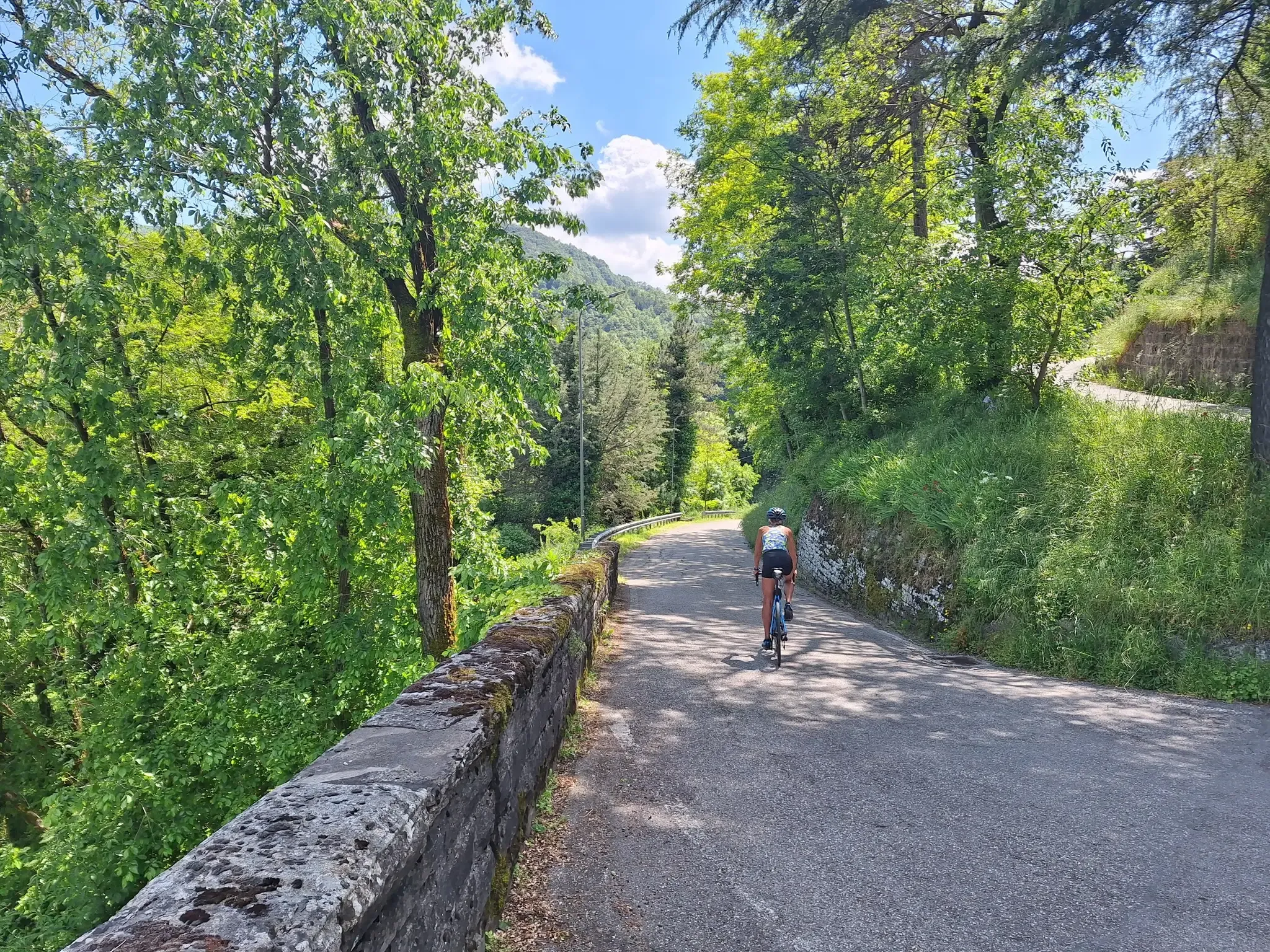
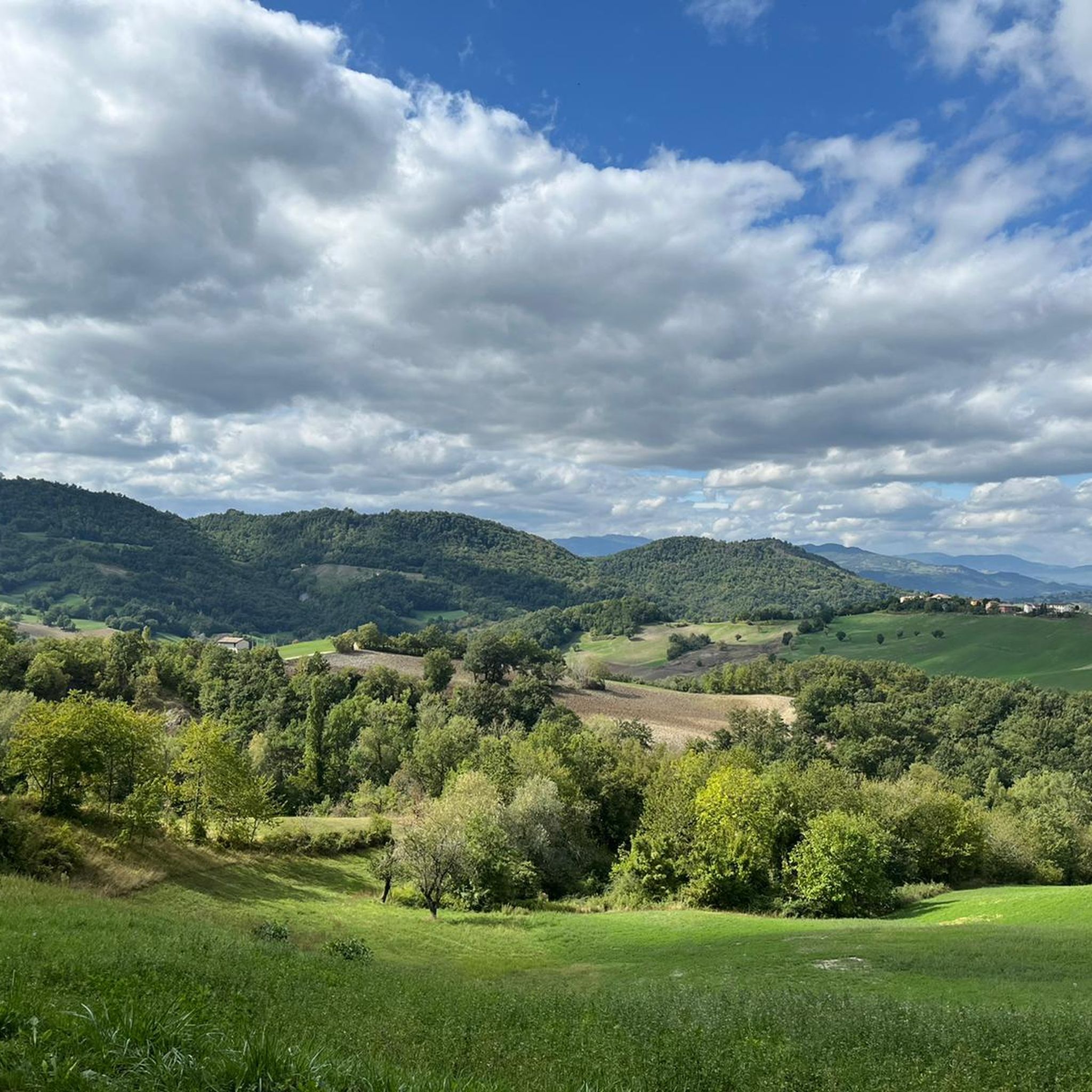
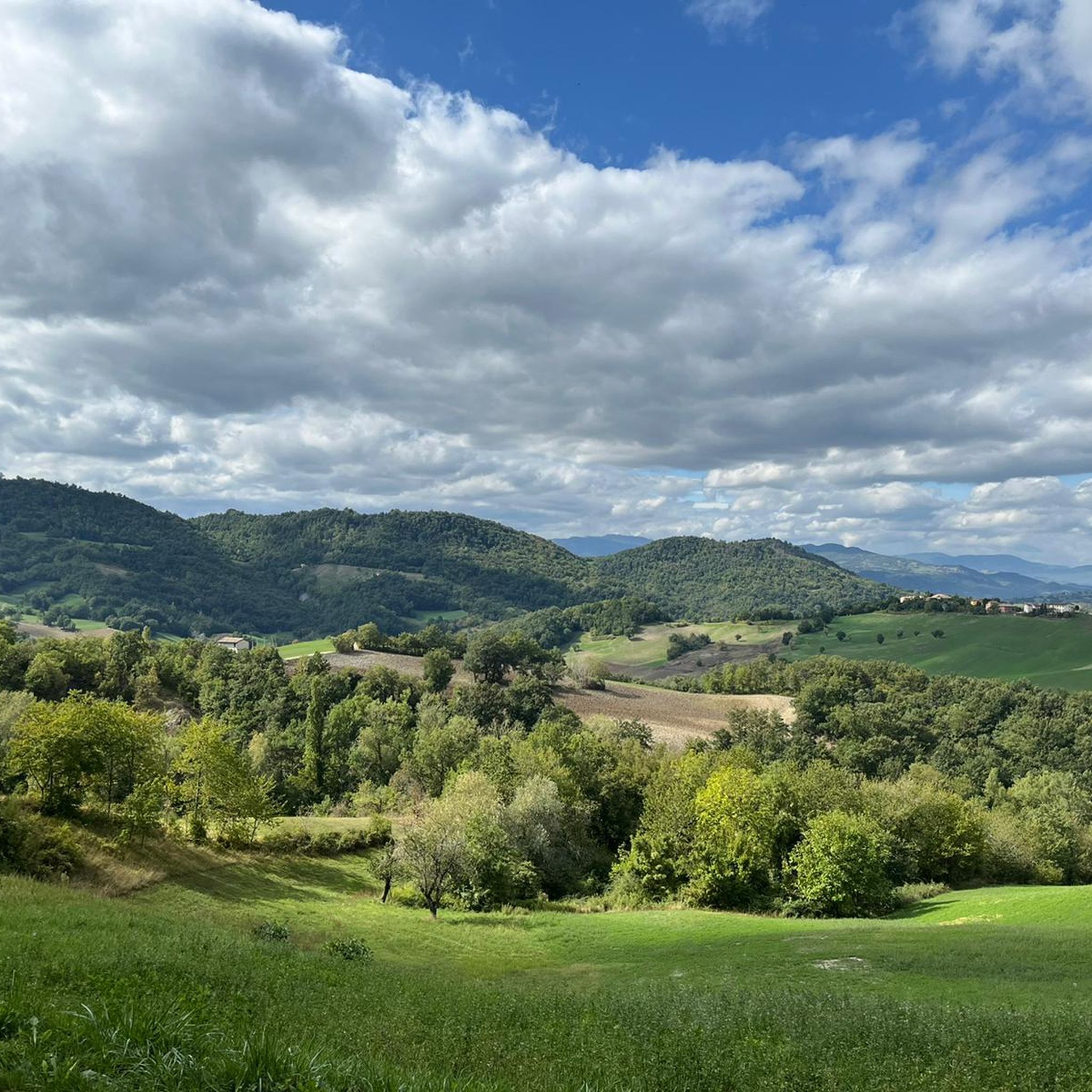
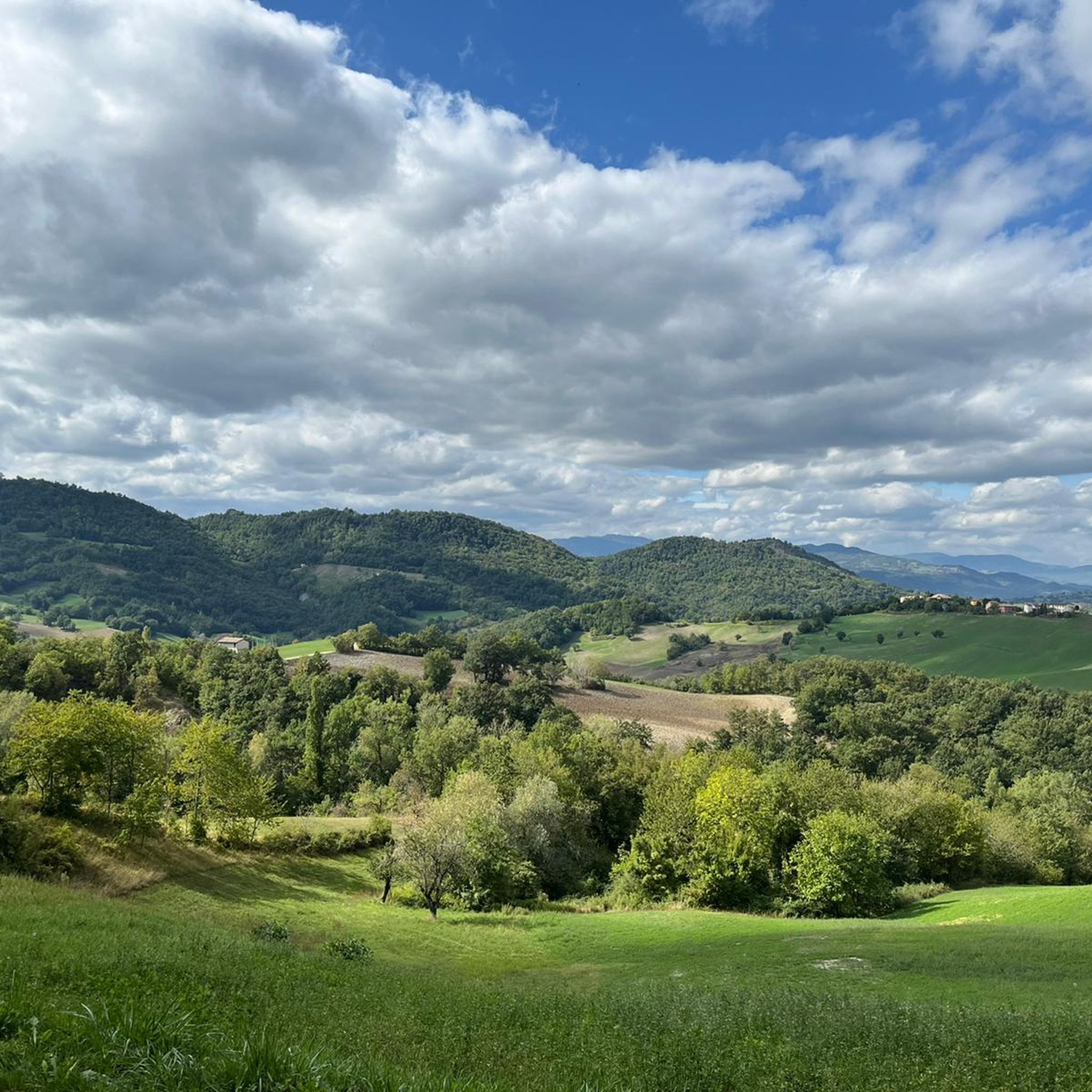
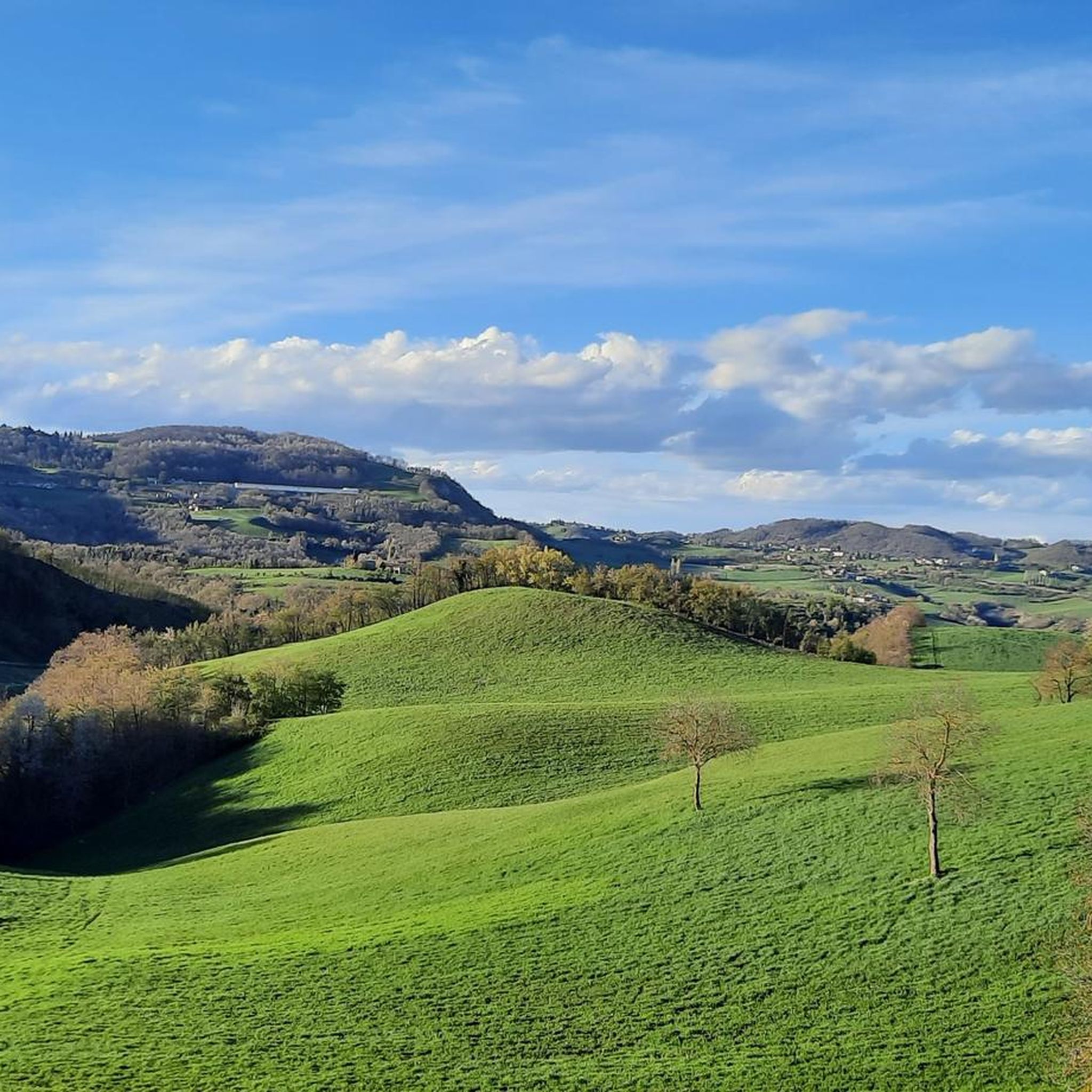
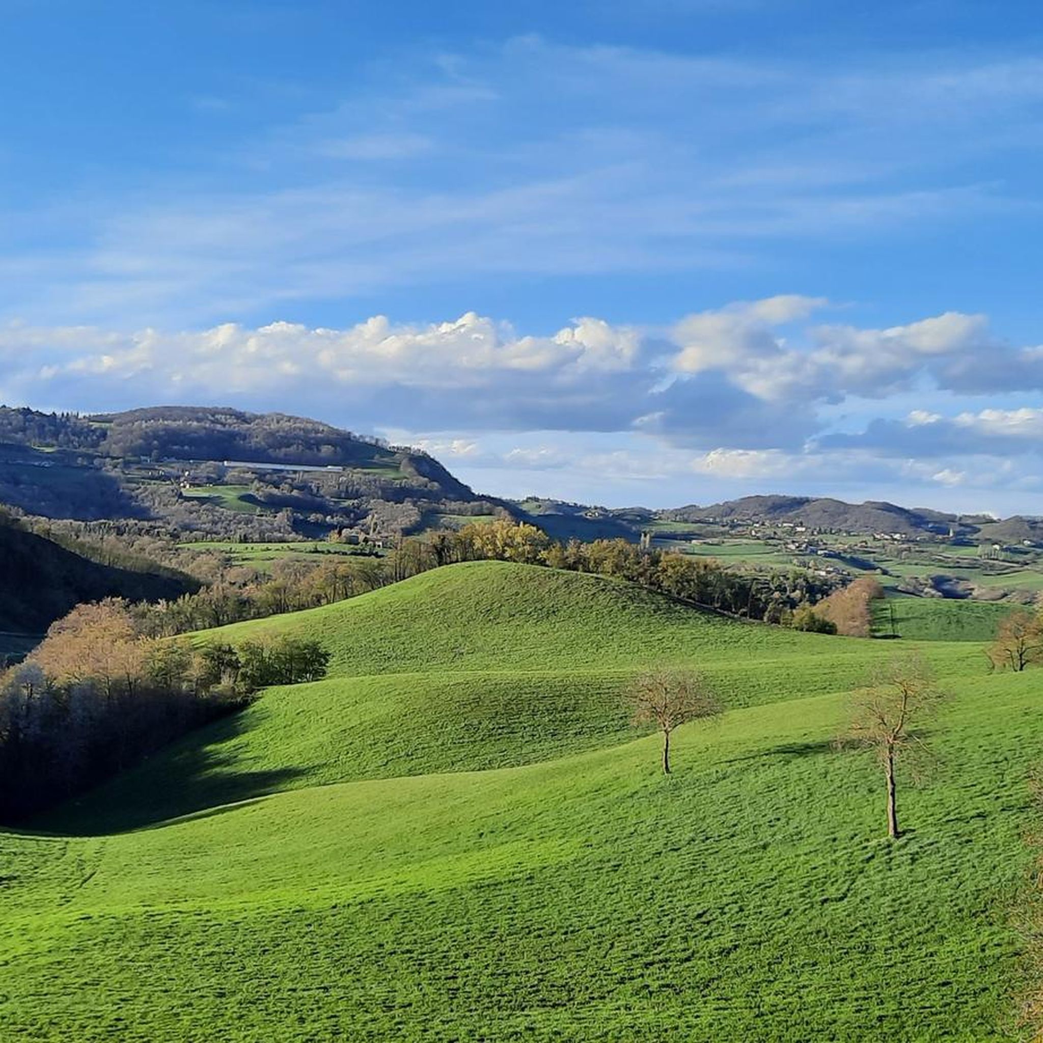
Gravel biking around Carpineti offers diverse terrain within the Reggiano Apennines, characterized by varied geological formations and elevation changes. The region is situated between the Secchia and Tresinaro Valleys, contributing to a landscape of cultivated fields, ancient villages, and fortified towers. Routes often feature natural cavities, rounded knolls, and views of landmarks like the imposing Bismantova Rock. This area provides a network of paths and roads suitable for gravel cycling, incorporating dirt sections and panoramic stretches.
Best gravel bike trails…
Last updated: July 4, 2026
5.0
(1)
23
riders
78.0km
05:41
2,120m
2,120m
Hard gravel ride. Very good fitness required. Mostly paved surfaces. Suitable for all skill levels.
4.0
(1)
16
riders
52.7km
03:29
850m
850m
Hard gravel ride. Very good fitness required. Mostly paved surfaces. Suitable for all skill levels.

Sign up for free
13
riders
58.7km
04:24
1,410m
1,410m
Hard gravel ride. Very good fitness required. Mostly paved surfaces. Suitable for all skill levels.
3
riders
80.6km
06:47
2,160m
2,160m
Hard gravel ride. Very good fitness required. Mostly paved surfaces. Suitable for all skill levels.
3.0
(1)
4
riders
34.9km
02:44
750m
760m
Hard gravel ride. Very good fitness required. Mostly paved surfaces. Suitable for all skill levels.
Get access to more routes and recommendations from other explorers.
Sign up for free
Already have an account?
Our route recommendations are based on thousands of hikes, rides, and runs completed by other people on komoot.
Start today with a free account
Your next adventure awaits.
Login or Signup
Other adventures around Carpineti

Tips from the Community

The Rifugio Bargetana is an alpine structure located at 1,740 meters above sea level in the upper Val d'Ozola, in the heart of the Tuscan-Emilian Apennine National Park at the foot of Monte Prado. It is family-run and is about a 15-minute walk from the homonymous glacial lake of Bargetana.
0
0
The Passo di Lama Lite is a very important mountain pass located at an altitude of 1,749 meters in the Alto Appennino Reggiano, on the border between Emilia-Romagna and Tuscany. It is located in the heart of the Tuscan-Emilian Apennine National Park. This pass serves as a fundamental watershed between the valley of the Dolo stream and the valley of the Ozola stream, positioned at the foot of the Monte Prado massif and offering a splendid view of Monte Cusna.
0
0
Ligonchio is a splendid mountain resort located at 1,000 meters above sea level in the Reggiano Apennines, today part of the scattered municipality of Ventasso in the province of Reggio Emilia. It is the highest inhabited center of the entire Reggiano ridge, nestled in the spectacular scenery of the Tuscan-Emilian Apennine National Park. Historically known as the "village of eagles" (paese delle aquile), this village boasts a strong identity linked to water and energy.
0
0
Today, evocative historical ruins remain of the powerful medieval fortress, perched on the summit of the white cliff. In addition to the remains of the walls and the crypt of Sant'Apollonio, it is possible to visit the Canossa Naborre Campanini National Museum, which houses archaeological finds from the area. Historical significance: It is the symbolic site of the 1077 episode where Emperor Henry IV obtained forgiveness from Pope Gregory VII thanks to the mediation of Countess Matilde of Canossa.
0
0
The "view of Canossa" offers one of the most evocative panoramas of the Reggiano Apennines. The famous castle stands on the badlands, and the gaze sweeps from its ruins to the surrounding hills, the nearby fortresses of Rossena and Rossenella, and the Apennine mountain range.
1
0
La Pietra di Bismantova is an imposing and characteristic sandstone rock massif located in the Apennines of Reggio Emilia, in the municipality of Castelnovo ne' Monti (province of Reggio Emilia). It reaches an altitude of 1,047 meters above sea level and is famous for its unmistakable hoof or "isolated ship" shape that dominates the surrounding landscape. This majestic calcarenite monolith is protected within the Tuscan-Emilian Apennine National Park and is even mentioned by Dante Alighieri in the IV canto of Purgatory.
0
0

Very scenic spot. Worth a stop for a photo
1
0

A charming lake located in a basin just above the small town of Ventasso Laghi, easily accessible from here via a forest road. It is of glacial origin and can be explored along a beautiful trail. From here, several trails lead to Mount Ventasso.
0
0
Frequently Asked Questions
What kind of terrain can I expect on gravel bike trails around Carpineti?
Gravel biking around Carpineti offers diverse terrain within the Reggiano Apennines. You'll encounter varied geological formations, from cultivated fields and ancient villages to fortified towers. The routes often feature natural cavities, rounded knolls, and panoramic stretches, with a focus on authentic dirt roads rather than overly technical mountain bike segments. Expect significant elevation changes as you navigate between the Secchia and Tresinaro Valleys.
How many gravel bike trails are available in the Carpineti area?
There are over 15 gravel bike trails available around Carpineti. The majority of these, about 14, are rated as difficult, offering a challenging experience for experienced riders. There are also 4 moderate routes for those seeking a less strenuous ride.
Are there any family-friendly gravel bike routes in Carpineti?
While many routes in Carpineti are rated as difficult due to significant elevation gain, there are some moderate options that might be suitable for families with older, experienced children. For example, the View of the Secchia River – Castellarano Dam loop from Roteglia is a moderate 36.6 km trail that takes about 2 hours to complete, offering scenic views without extreme technical challenges.
What are some notable landmarks or natural features I can see along the gravel routes?
The Carpineti area is rich in both natural and historical landmarks. You can cycle past the imposing Bismantova Rock, a significant natural monument offering panoramic views. Historical sites like Carpineti Castle and Canossa Castle are also prominent features. The routes often provide views of the Reggiano Apennines, ancient villages, and fortified towers, contributing to a highly scenic experience.
Are there any circular gravel bike routes in Carpineti?
Yes, many of the gravel bike trails in Carpineti are designed as loops, allowing you to start and end at the same point. An example of a challenging circular route is the Canossa Castle – View of Canossa Castle loop from Vedriano, a difficult 52.7 km path that passes by the historic Canossa Castle.
What is the best time of year for gravel biking in Carpineti?
Carpineti, nestled in the Reggiano Apennines, is generally best for gravel biking during the spring and autumn months. The weather is typically milder, and the landscapes are vibrant. Summer can also be pleasant, especially in the higher elevations, but be prepared for warmer temperatures. Winter riding might be possible on some lower routes, but higher trails could be affected by snow or ice.
What do other gravel bikers enjoy most about the Carpineti trails?
The gravel biking experience in Carpineti is highly rated by the komoot community, with an average score of 3.4 stars from 5 reviews. Riders often praise the varied terrain of the Reggiano Apennines, the scenic views of historical sites like Carpineti Castle, and the authentic gravel sections that provide a true off-road experience without being overly technical.
Are there any long-distance gravel routes for experienced riders?
Yes, Carpineti offers several long-distance routes for experienced gravel bikers. For instance, the Chiesa di San Cassiano – Scenic viewpoint loop from San Cassiano is a difficult 80.4 km trail through the Reggiano Apennines, typically completed in about 7 hours. Another challenging option is the View of Pietra di Bismantova – King of the Mountains — Baiso loop from Gombio, which spans 87.1 km and features significant elevation gain.
What is the typical elevation gain on Carpineti's gravel trails?
The gravel trails around Carpineti, particularly the difficult ones, feature significant elevation gain due to their location in the Reggiano Apennines. For example, the Castellarano Dam – Castellarano Fortress loop from Viano, a 52.9 km route, includes over 700 meters of ascent, providing a good workout and rewarding views.
Are there any specific viewpoints or scenic spots along the routes?
Absolutely. The region is known for its high scenic value. Many routes offer breathtaking views of the surrounding Apennine ridges, cultivated fields, and ancient villages. The Bismantova Rock itself provides panoramic vistas from its plateau. Additionally, the Scenic Road Between the Castles of Canossa and Rossena is a highlight offering picturesque views.
Is it possible to access the gravel trails using public transport?
While Carpineti is well-suited for outdoor activities, public transport options directly to trailheads can be limited in rural Apennine areas. It's advisable to check local bus schedules for connections to Carpineti or nearby towns. Many visitors opt for personal vehicles to reach starting points, as this offers greater flexibility for exploring the diverse trail network.
Where can I find parking for gravel biking trails in Carpineti?
Parking is generally available in Carpineti and the surrounding villages. Look for designated parking areas near town centers or trail access points. Since many routes are loops, you can often find suitable parking in the starting village, such as Roteglia or Vedriano, depending on your chosen route.
Most popular attractions around Carpineti

Get inspired with the komoot mobile app


Explore more
Browse the best Gravel rides in other regions.
