The best gravel rides around Lallio
4.4
(337)
3,478
riders
103
rides
Gravel biking around Lallio, situated in the province of Bergamo, Lombardy, offers diverse terrain for cyclists. The region features a mix of rolling hills, river valleys, and natural parks, providing varied landscapes for gravel exploration. Cyclists can navigate through green hills, ancient pathways, and along river cycle paths, often encountering dirt roads and trails. The area is characterized by its proximity to the Parco dei Colli di Bergamo and river systems like the Serio and Brembo, which offer extensive networks…
Last updated: July 8, 2026
4.3
(3)
89
riders
85.1km
05:31
1,480m
1,480m
Hard gravel ride. Very good fitness required. Mostly paved surfaces. Suitable for all skill levels.
4.4
(7)
44
riders
Moderate gravel ride. Good fitness required. Mostly paved surfaces. Suitable for all skill levels.

Sign up for free
5.0
(2)
27
riders
107km
06:23
300m
300m
Hard gravel ride. Very good fitness required. Mostly paved surfaces. Suitable for all skill levels.
4.0
(5)
29
riders
36.3km
02:22
210m
210m
Moderate gravel ride. Good fitness required. Mostly paved surfaces. Suitable for all skill levels.
25
riders
65.3km
04:21
1,110m
1,110m
Hard gravel ride. Very good fitness required. You may need to push your bike for some segments of this route.
Get access to more routes and recommendations from other explorers.
Sign up for free
Already have an account?
Our route recommendations are based on thousands of hikes, rides, and runs completed by other people on komoot.
Start today with a free account
Your next adventure awaits.
Login or Signup
Tips from the Community

The Canale della Muzza is an important hydraulic work from the 12th-13th century that branches off the Adda river in Cassano d'Adda and extends for about 39 km to Castiglione d'Adda. It is one of the oldest and largest irrigation canals in Europe, fundamental for Lodi's agriculture, now also flanked by cycle paths.
0
0

Any trail that winds through its vicinity is wonderful, a shame about the interruption between Zelo and Galgagnano of the path due to the hunting area, incidentally a beautiful place part of the ADDA sud Park but inexplicably in the hands of one or more private individuals who have made it their "hunting park" by fencing it all in. I happened to get inside by mistake, finding one of the numerous open gates and could no longer get out, finding the others closed, receiving a couple of shots in the air behind my back to make me understand that I was not welcome! A real shame because it interrupts the descent from Zelo towards Lodi along the Adda. Beyond the "hunting park" I believe that the passage along the river (state-owned area!!) SHOULD always be guaranteed without any ifs or buts!
0
0

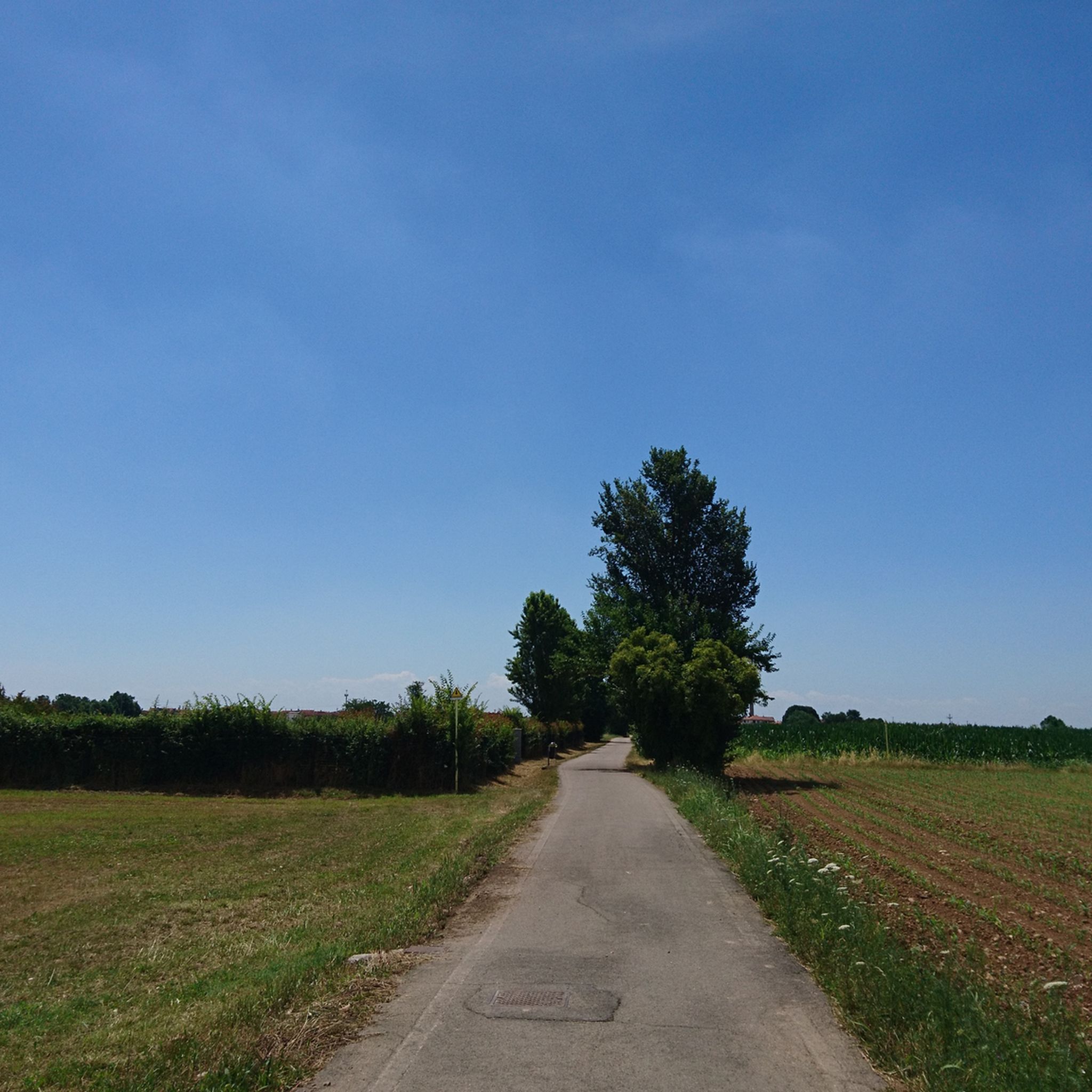
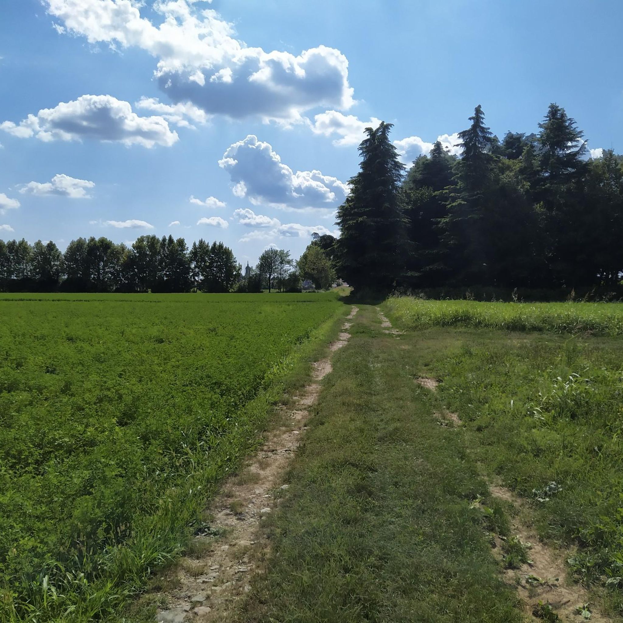
beautiful road surrounded by greenery, little traffic, acceptable and continuous slopes
0
0

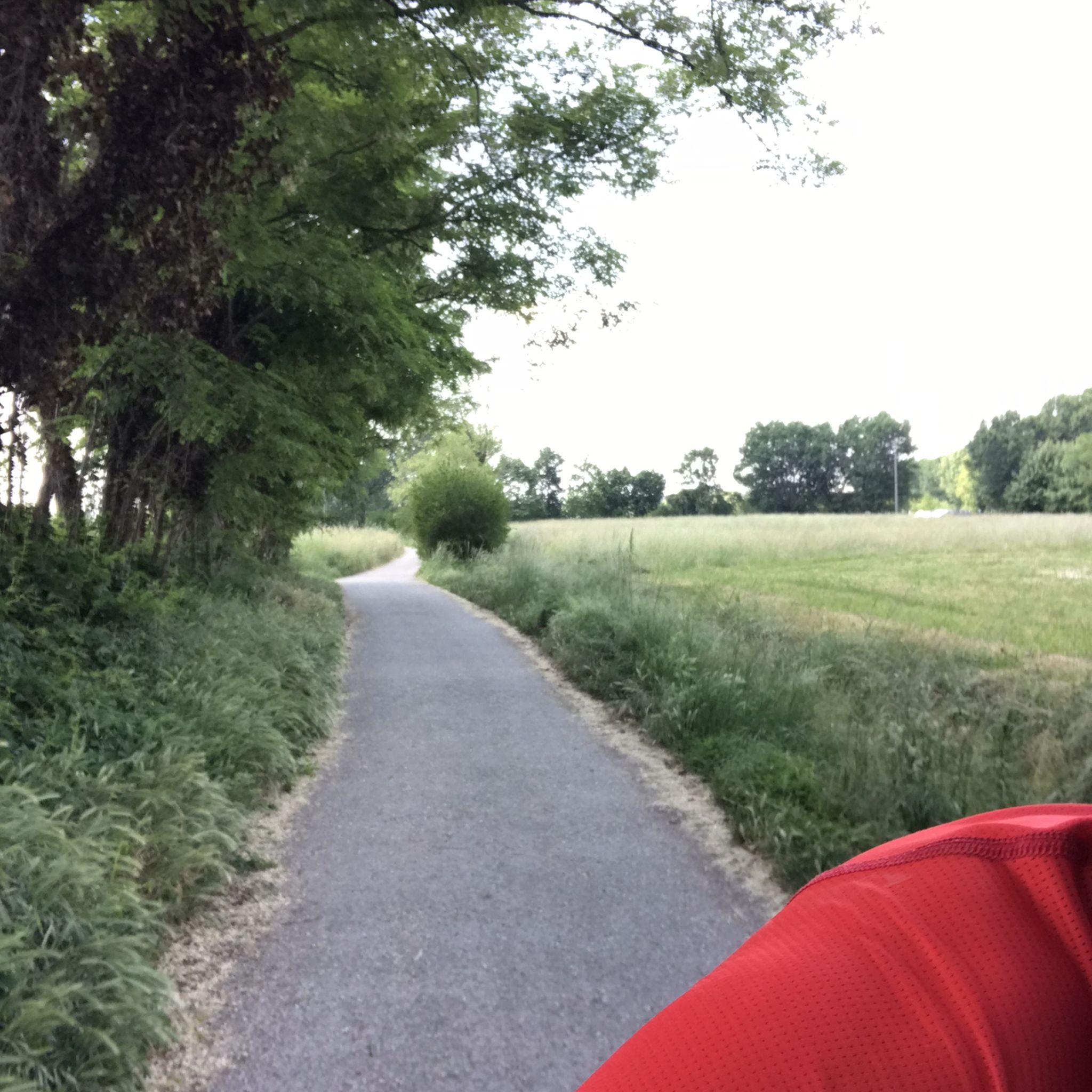
in its simplicity it is always a pleasant environment to share
1
0

In Groppello d'Adda, along the Martesana Canal, there is a large waterwheel called "el rudun." It is not a mill, but a noria that was used to raise water for irrigation. It was built in 1618 at the behest of Cardinal Federico Borromeo. It was used to irrigate the vegetable gardens and gardens of the Archbishop's Villa. Tradition attributes the design to Leonardo da Vinci. The water also fed kitchens, washhouses, and livestock watering troughs. The original wheel was dismantled in the late 19th century. The current one is a 1989 reconstruction, restored several times. It has a diameter of 11 meters and eight large blades. Today, it is a historical and educational symbol that tells the story of the area's past.
2
0

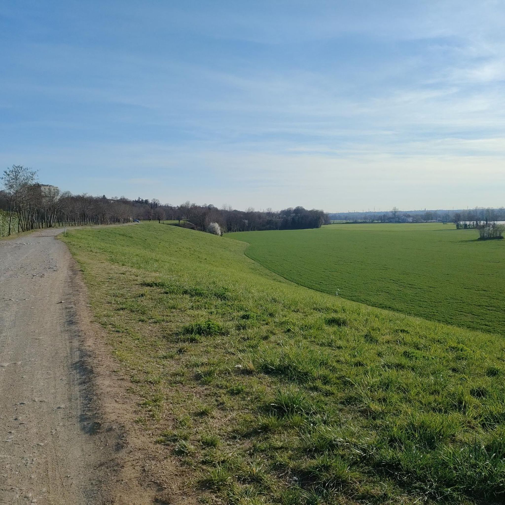
From Bergamo, a cycle path starts that climbs up to the municipality of Val Bondione in the upper Seriana Valley. This stretch is on the border between Gorle and Ranica.
1
0

Surroundings of Cassano d'Adda
2
0

view of Ponte S. Pietro from the Brembo River
0
0
Frequently Asked Questions
What kind of terrain can I expect on gravel bike trails around Lallio?
The Lallio area, situated in the province of Bergamo, offers a diverse mix of terrain. You'll find rolling hills, river valleys, and natural parkland. Routes often feature dirt roads, ancient pathways, and trails, with minimal asphalt sections, especially on routes like the broader "Via delle Sorelle" which connects Bergamo and Brescia. Expect varied landscapes from green hills to wooded areas and riverbanks.
Are there any family-friendly gravel biking options near Lallio?
Yes, while many routes in the area are rated moderate to difficult, there are sections and paths suitable for families. The region's river cycle paths, such as those along the Serio and Brembo rivers, often include smoother sections. For a moderate option that explores wooded areas and river trails, consider the Marne Woods Singletrack – Lower Brembo River Trail loop from Dalmine, which is about 27.7 km long.
What natural features or landmarks can I see along the gravel routes?
The gravel routes around Lallio are rich in natural beauty and historical points of interest. You can explore the extensive Parco dei Colli di Bergamo, which is considered the 'green lung' of the city, offering hills, wooded areas, and meadows. Along river paths, you might encounter highlights like the Cliff on the River Brembo or the Brembo Beach – Viewpoint. Historical sites like the Astino abbey are also accessible within the park.
Are there any circular gravel bike routes starting near Lallio?
Many of the popular gravel routes in the Lallio area are designed as loops, allowing you to start and finish in the same location. An example is the challenging Tower of the Fallen, Bergamo – Serio River Cycle Path loop from Bergamo Ospedale, which covers 86 km and explores the Serio River valley. Another option is the Valle Brembana Cycle Path – Bridges Over the Brembo River loop from Dalmine, a 70.7 km route featuring views of the Brembo River.
Where can I park my car when going gravel biking near Lallio?
Lallio and its surrounding areas offer various starting points for gravel routes, many of which have parking facilities. For routes starting from Dalmine, a nearby municipality, you can often find public parking. For routes originating closer to Bergamo, such as the Tower of the Fallen, Bergamo – Entrance to Parco del Serio loop from Bergamo Ospedale, parking is typically available near the Bergamo Ospedale area or other designated spots within the city that provide access to the Parco del Serio.
What is the best time of year for gravel biking in Lallio?
The region around Lallio is generally pleasant for gravel biking from spring through autumn. These seasons offer mild temperatures and vibrant landscapes, making for enjoyable rides through green hills and river valleys. While winter cycling is possible, be prepared for colder temperatures and potentially wet or muddy conditions on unpaved sections.
Can I access gravel trails near Lallio using public transport?
Yes, Lallio's proximity to Bergamo makes it accessible via public transport. Bergamo itself is a transport hub, and local buses can connect you to various starting points for gravel routes, especially those within the Parco dei Colli di Bergamo or along the major river cycle paths. Check local bus schedules for routes connecting Lallio to specific trailheads.
Are there any cafes or places to eat along the gravel bike routes?
The gravel routes often pass through or near charming municipalities and villages where you can find cafes, trattorias, and restaurants. Especially along the more established river cycle paths and within the Parco dei Colli, you'll encounter opportunities to refuel. For example, routes like the Astino Convent – Valle Brembana Cycle Path loop from Bergamo Ospedale will take you past areas with amenities.
What is the general difficulty level of gravel biking around Lallio?
Gravel biking around Lallio offers a range of difficulties. While there are moderate paths, many routes are rated as difficult due to their length and elevation gain. For instance, the Tower of the Fallen, Bergamo – Serio River Cycle Path loop from Bergamo Ospedale involves over 1490 meters of elevation gain over 86 km. The region's rolling hills and varied terrain provide options for both experienced riders and those looking for a moderate challenge.
What do other gravel bikers say about the trails in Lallio?
The gravel biking routes around Lallio are highly regarded by the komoot community, with an average rating of 4.3 stars from over 380 reviews. Riders often praise the diverse terrain, the scenic beauty of the green hills and river valleys, and the extensive network of paths that allow for varied exploration. Many appreciate the mix of challenging climbs and rewarding views.
Is Lallio a good base for exploring the 'Via delle Sorelle' gravel trail?
While Lallio is not directly on the "Via delle Sorelle" (Sisters' Trail), its location in the Bergamo province makes it an excellent base for accessing this notable 130-kilometer route connecting Bergamo and Brescia. The "Via delle Sorelle" is specifically designed for gravel bikes, minimizing asphalt and leading through green hills and ancient pathways, making Lallio a convenient starting point for exploring sections of this trail or connecting to it.
Are there any specific viewpoints or scenic spots on the gravel routes?
Absolutely. The region is known for its 'magnificent landscapes' and 'green hills,' offering numerous panoramic views. Routes along the Serio and Brembo rivers provide picturesque scenery, often bordered by natural vegetation. The Parco dei Colli di Bergamo, with its hills and wooded areas, also offers many elevated points with breathtaking vistas of the surrounding countryside and even Bergamo Alta.
Most popular attractions around Lallio

Get inspired with the komoot mobile app


Explore more
Browse the best Gravel rides in other regions.
