The best gravel rides around Montemurlo
4.4
(14)
174
riders
30
rides
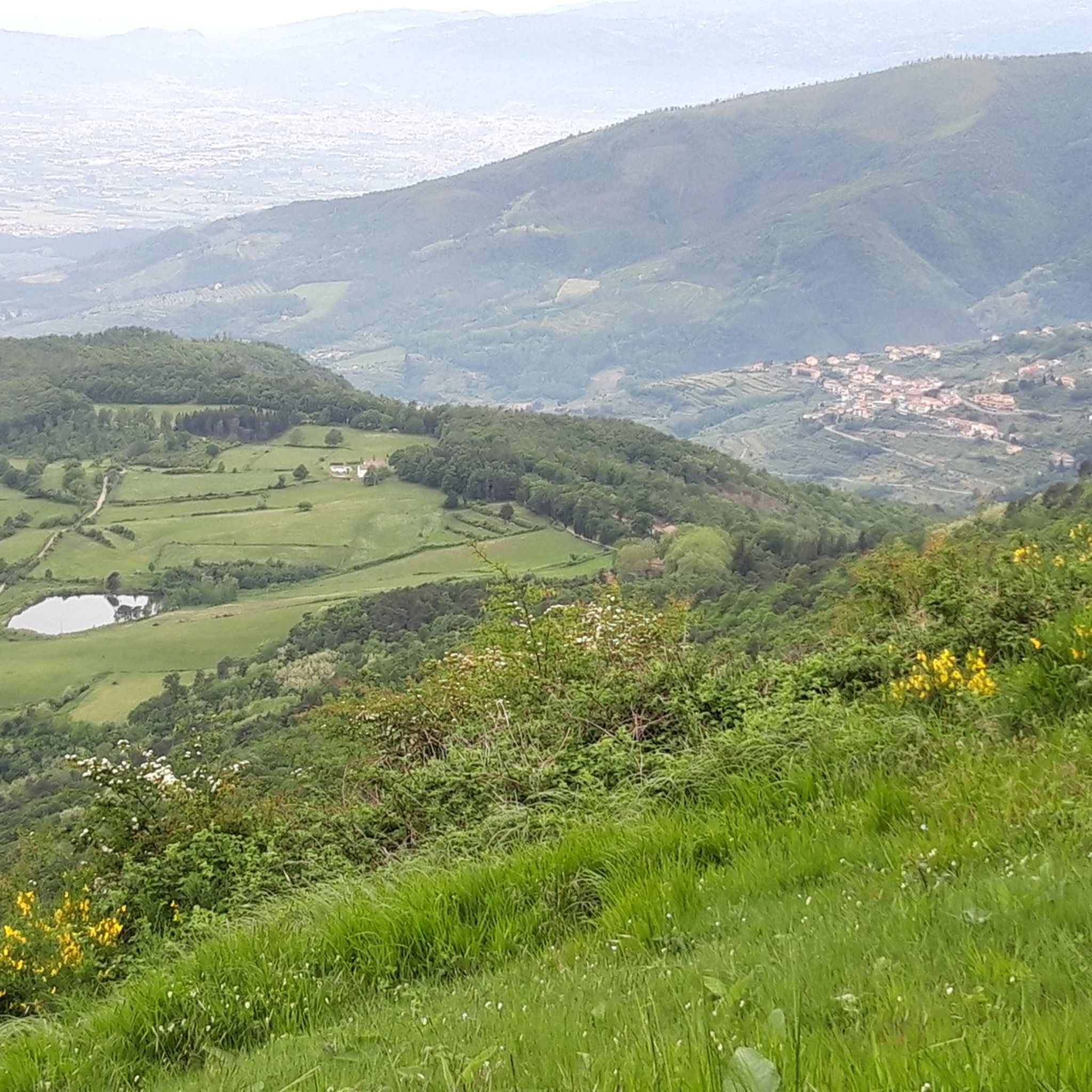
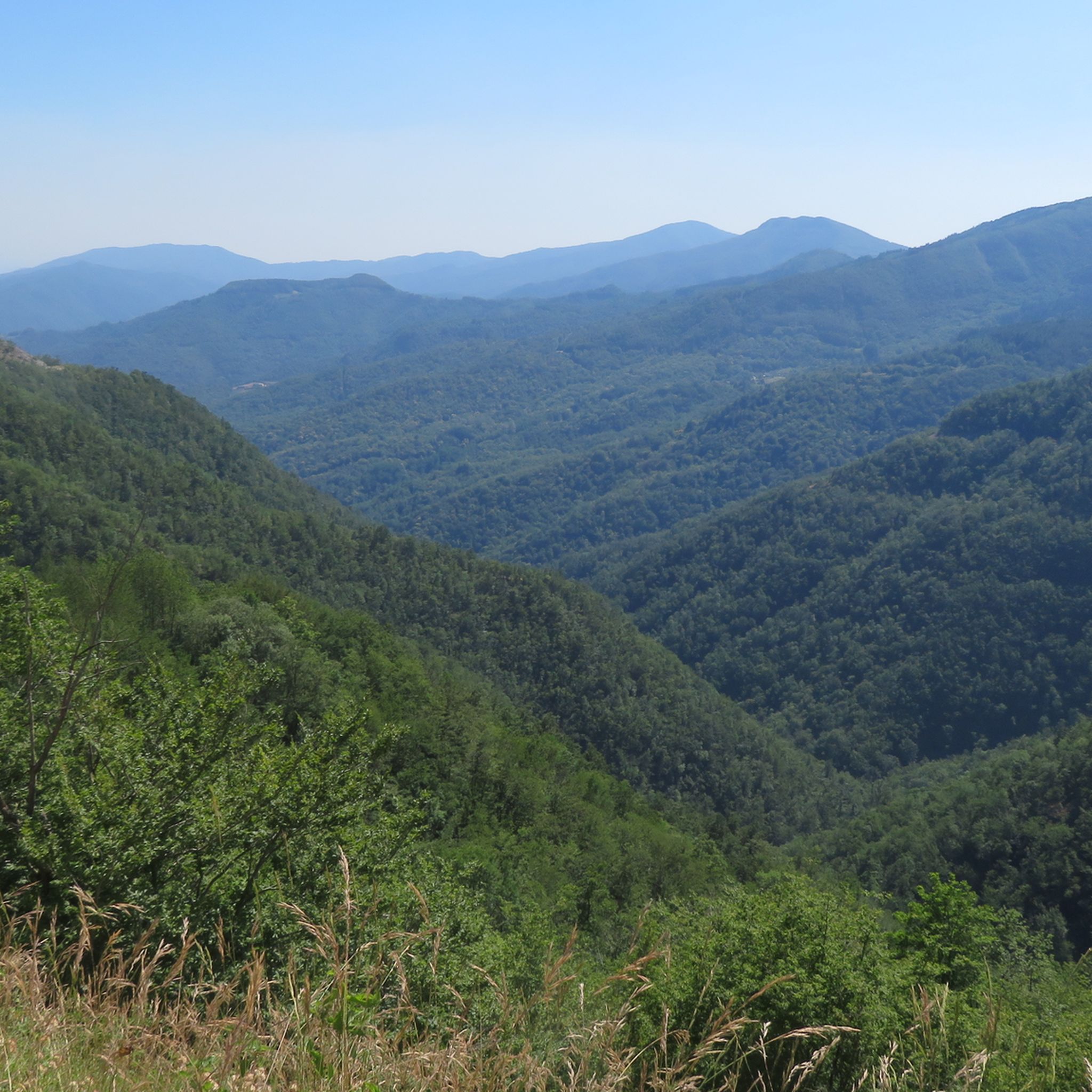
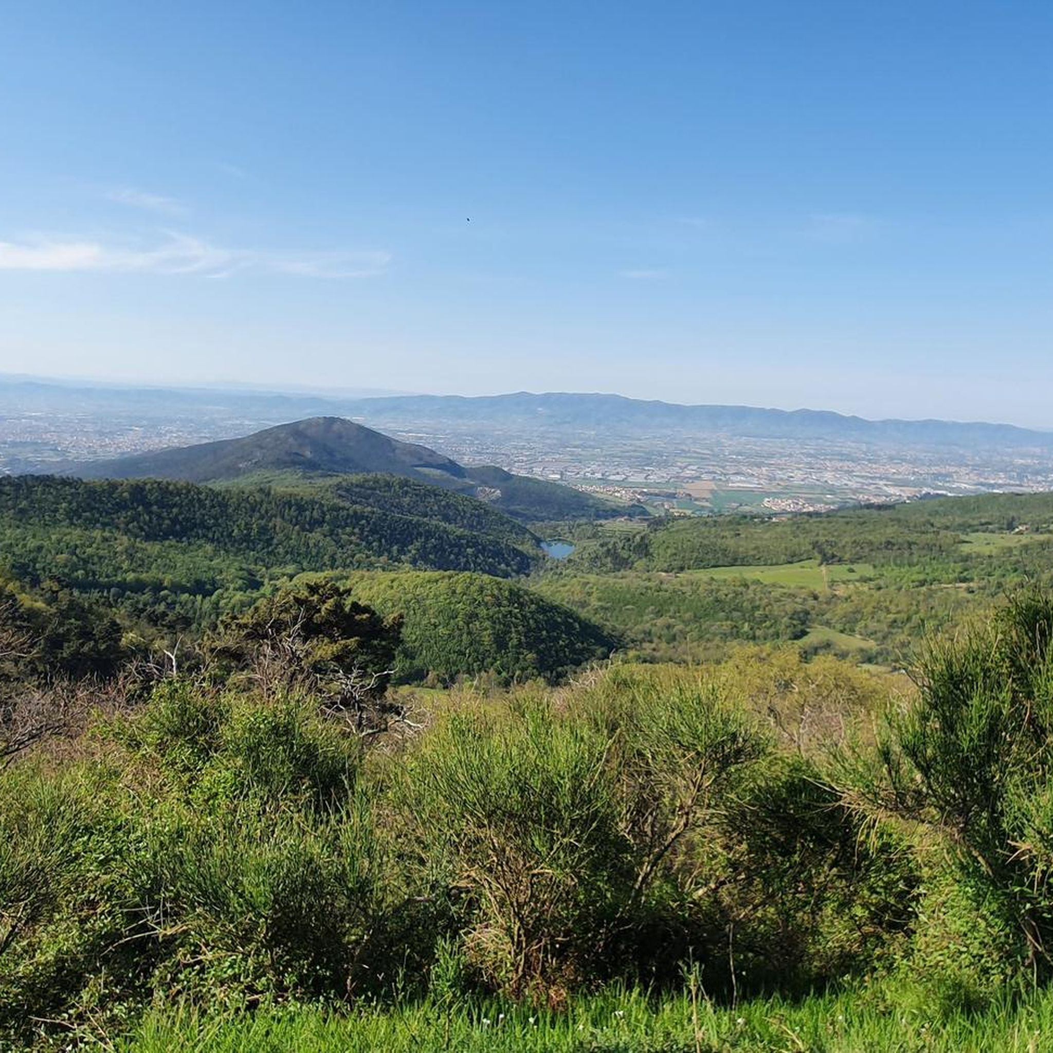
Gravel biking around Montemurlo offers a diverse landscape characterized by rolling hills, agricultural estates, and river valleys. The region features a mix of unpaved roads, forest tracks, and scenic paths that traverse the Tuscan countryside. Elevations vary, with several routes including notable climbs and passes, providing varied terrain for gravel cyclists.
Best gravel bike trails around Montemurlo
- The most popular gravel bike trail is Gino Bartali Cycle Path – Collina Estate loop from Prato Centrale, a 26.9 miles (43.3…
Last updated: July 8, 2026
7
riders
43.3km
03:24
770m
770m
Hard gravel ride. Very good fitness required. Mostly paved surfaces. Suitable for all skill levels.
5.0
(2)
17
riders
26.9km
01:57
490m
490m
Hard gravel ride. Very good fitness required. Mostly paved surfaces. Suitable for all skill levels.

Sign up for free
13
riders
62.5km
05:14
1,420m
1,420m
Hard gravel ride. Very good fitness required. Mostly paved surfaces. Suitable for all skill levels.
7
riders
59.8km
05:21
1,430m
1,430m
Hard gravel ride. Very good fitness required. Mostly paved surfaces. Suitable for all skill levels.
4.0
(1)
20
riders
Moderate gravel ride. Good fitness required. Mostly paved surfaces. Suitable for all skill levels.
Get access to more routes and recommendations from other explorers.
Sign up for free
Already have an account?
Our route recommendations are based on thousands of hikes, rides, and runs completed by other people on komoot.
Start today with a free account
Your next adventure awaits.
Login or Signup
Tips from the Community

The cycle and pedestrian bridge over the Bisenzio located in the Gonfienti area (on the border between Prato and Campi Bisenzio) is a key infrastructure that connects the cycle path along the river and unites the archaeological site of Gonfienti with the Interporto della Toscana Centrale. The area is located on the eastern outskirts of Prato, near the confluence of the Marinella stream into the Bisenzio. The bridge is easily reached from viale Alcide De Gasperi, shortly after Ponte Petrino
0
0
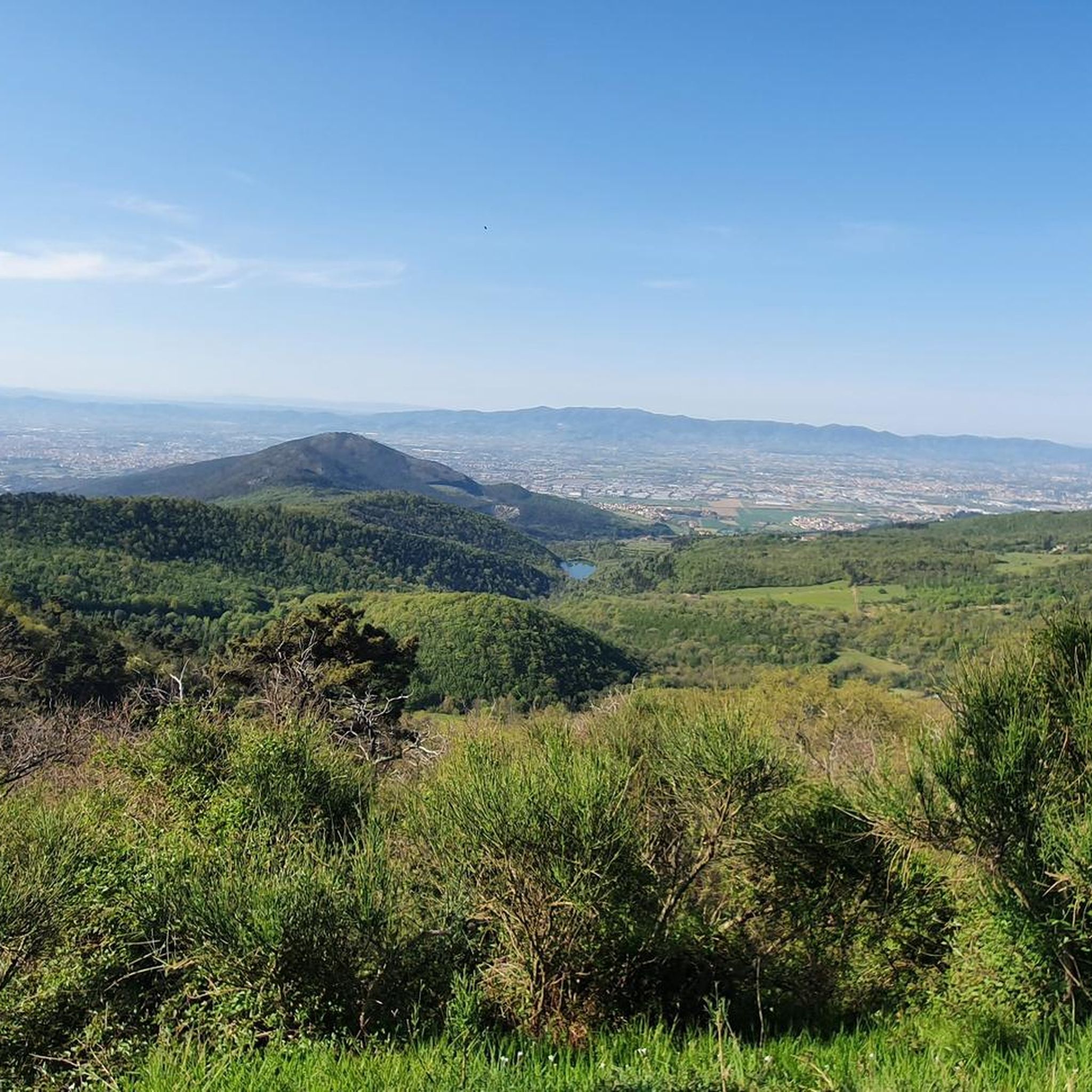
The cypresses of Monte Buriano are located in the hilly and mountainous area overlooking Montemurlo, in the province of Prato, along the paths that connect the Val di Bisenzio and the Monteferrato massif. The municipality of Montemurlo is famous for hosting the largest number of monumental trees registered in Tuscany, with historic specimens and protected rows that enrich the nature trails and historic estates in the area.
0
0
The cycle path in the Bagnolo (Prato) and Montemurlo area you are referring to is part of the new route of the Ciclovia del Sole. It is a cycle and pedestrian infrastructure that crosses the green area of the plain and develops parallel to the banks and the redeveloped areas of the Ficarello stream.
0
0
The Gino Bartali cycle path is a charming, flat, and safe route along the Bisenzio river in Prato. Ideal for urban commuting and excursions, it extends for over 30 km in total, connecting to the nearby Fausto Coppi cycle path towards the Val di Bisenzio. The route starts from the Petrino bridge area, runs along the river, crosses the historic center of Prato skirting the old walls, and continues south to the Gonfienti archaeological area. It is a perfect itinerary for families and nature lovers, completely separated from car traffic. Near viale Galilei, you will find numerous refreshment points and green areas for a break.
0
0

La Strada dell'Acquerino (mainly Strada Provinciale 24 Pistoia-Riola) is the main access road to the splendid Acquerino Cantagallo Nature Reserve. This famous road cuts through the green heart of the Tuscan-Emilian Apennines, connecting the Pistoia plain with the Bologna side. The road and its historic adjacent dirt paths (like the ancient path towards Badia a Taona) represent a true paradise for cycle touring, gravel biking, and hiking.
0
0
The Municipality of Montemurlo is located in Piazza della Repubblica 1, in the city center of the plain in the province of Prato. The Historic Tower, commonly identified with the ancient keep of the Rocca (or Castle of Montemurlo), stands instead at about 200 meters altitude on the hill above. It visually dominates the entire plain between Prato, Florence and Pistoia.
0
0

Quiet stretch in the woods except for 2/3 rocky points that are passable on the descent, while on the climb it is pushing.
0
0

Frequently Asked Questions
How many gravel bike trails are available around Montemurlo?
Montemurlo offers a wide selection of gravel biking opportunities, with nearly 40 distinct routes available. These trails cater to various skill levels, from moderate paths to more demanding routes with substantial elevation gain.
What is the general difficulty level of gravel biking in Montemurlo?
The gravel biking routes in Montemurlo present a varied challenge. While there are 7 easy and 13 moderate routes, the region is particularly known for its 19 difficult trails, featuring rolling hills, agricultural landscapes, and significant climbs.
Are there easy gravel bike trails suitable for beginners in Montemurlo?
Yes, Montemurlo has several easier options. For instance, the Torrente Bure di Baggio – View of Pistoia from Germinaia loop from Chiesina Montalese is a moderate 28.5 km route that offers a less strenuous experience while still providing scenic views.
Where can I find challenging gravel bike routes with significant climbs?
For those seeking a challenge, Montemurlo is well-suited. Routes like the Javello Climb – Passo delle Cavallaie loop from Prato Porta al Serraglio, a 64.5 km trail, feature substantial elevation gain and mountain passes, providing a demanding ride.
Are there options for longer gravel bike rides in the Montemurlo area?
Absolutely. If you're looking for longer distances, consider routes such as the Carmignano Town Center – Pinone Pass loop from Prato Borgonuovo, which covers over 66 km and includes significant climbs, making for an extended adventure.
What is the best time of year for gravel biking around Montemurlo?
The Tuscan climate makes spring (April-May) and autumn (September-October) ideal for gravel biking in Montemurlo. During these seasons, temperatures are pleasant, and the landscape is particularly vibrant, offering comfortable riding conditions.
Are most gravel bike routes around Montemurlo circular?
Many of the gravel bike routes in Montemurlo are designed as loops, allowing you to start and finish at the same point. This is convenient for planning your ride, especially if you're driving to a trailhead.
Can I find places for refreshments or cafe stops along the gravel bike trails?
While specific cafe stops are not always marked on every trail, the Montemurlo region, being part of Tuscany, is dotted with charming villages and agricultural estates. Many routes pass through or near these areas, offering opportunities to find local cafes or trattorias for refreshments.
What kind of scenic viewpoints can I expect on Montemurlo's gravel bike routes?
The routes often traverse rolling hills and offer panoramic views of the Tuscan countryside. Trails like the Alfredo Binda Cycle Path – Javello Climb loop from Galciana, for example, include climbs that reward riders with expansive vistas of the surrounding area. You might also encounter summits like Croce della Retaia or Mount Cantagrilli.
Are there any interesting landmarks or natural attractions to see near the gravel bike trails?
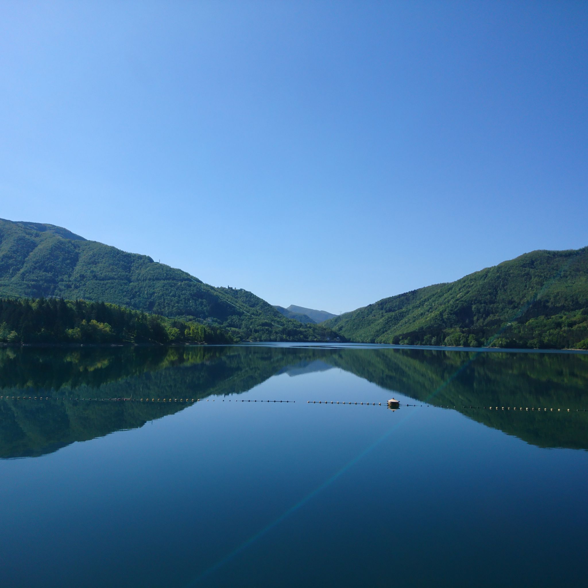
Yes, the Montemurlo area is rich in natural beauty and points of interest. You can explore various summits, such as Monte Maggiore Summit (917 m), or discover charming settlements like Carmignano Town Center. The region also features several lakes, including Lake Suviana and Lake Querciola, which can be found nearby.
What do other gravel bikers enjoy most about Montemurlo?
The Montemurlo area is highly rated by the komoot community, with an average score of 4.1 stars from over 20 reviews. Reviewers often praise the diverse landscape, which includes a mix of unpaved roads, forest tracks, and scenic paths, as well as the challenging climbs and rewarding panoramic views.
Most popular routes around Montemurlo
Most popular attractions around Montemurlo

Get inspired with the komoot mobile app


Explore more
Browse the best Gravel rides in other regions.
