The best gravel rides around Redondesco
4.4
(5)
101
riders
7
rides
Gravel biking around Redondesco is characterized by its flat terrain and proximity to the Oglio Sud Regional Park, offering extensive unpaved country roads. The region features a network of paths along the Oglio River, traversing lowland forests, wetlands, and agricultural plains. These routes often include a mix of dirt paths and some paved sections, providing varied surfaces for gravel cyclists. The landscape is shaped by the Oglio River's meanders and associated alluvial forests.
Best gravel bike trails around Redondesco
- The…
Last updated: July 5, 2026
4.3
(3)
53
riders
62.2km
03:30
110m
110m
Moderate gravel ride. Good fitness required. Mostly paved surfaces. Suitable for all skill levels.
4.0
(1)
21
riders
80.6km
04:37
120m
120m
Moderate gravel ride. Good fitness required. Mostly paved surfaces. Suitable for all skill levels.

Sign up for free
5.0
(1)
12
riders
48.2km
02:41
60m
60m
Moderate gravel ride. Good fitness required. Mostly paved surfaces. Suitable for all skill levels.
4
riders
27.0km
01:32
40m
40m
Easy gravel ride. Great for any fitness level. Mostly paved surfaces. Suitable for all skill levels.
2
riders
32.4km
01:59
50m
50m
Easy gravel ride. Great for any fitness level. Mostly paved surfaces. Suitable for all skill levels.
Get access to more routes and recommendations from other explorers.
Sign up for free
Already have an account?
Our route recommendations are based on thousands of hikes, rides, and runs completed by other people on komoot.
Start today with a free account
Your next adventure awaits.
Login or Signup
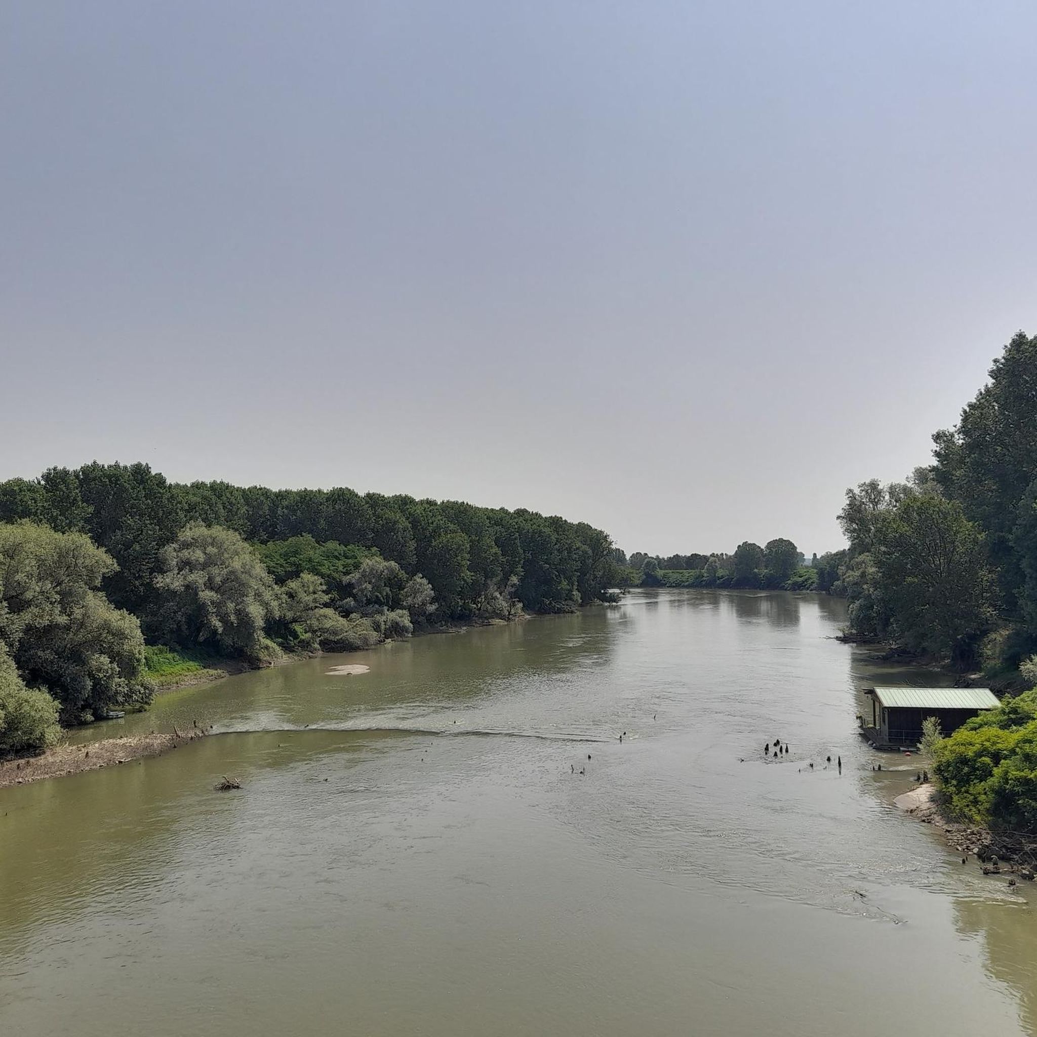
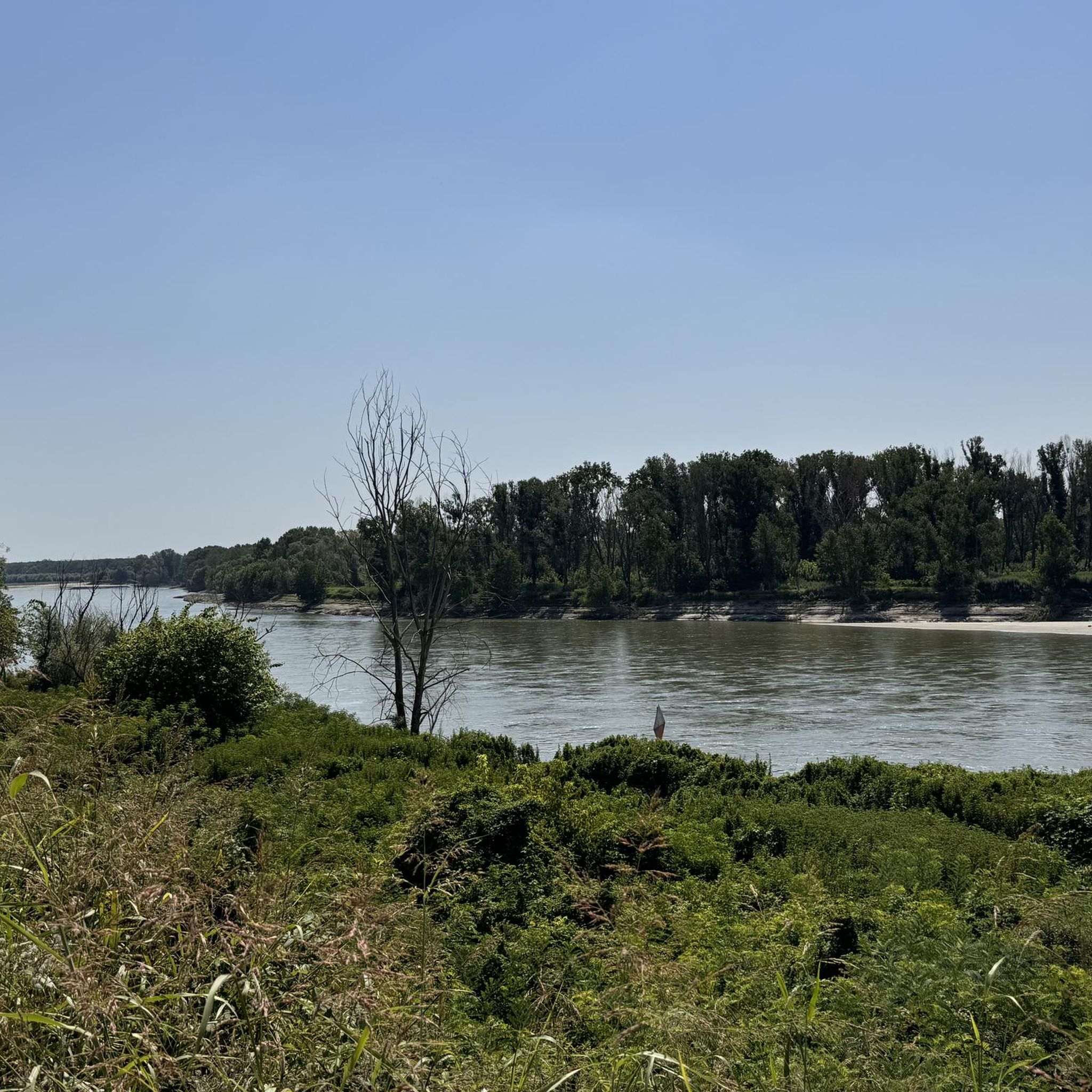
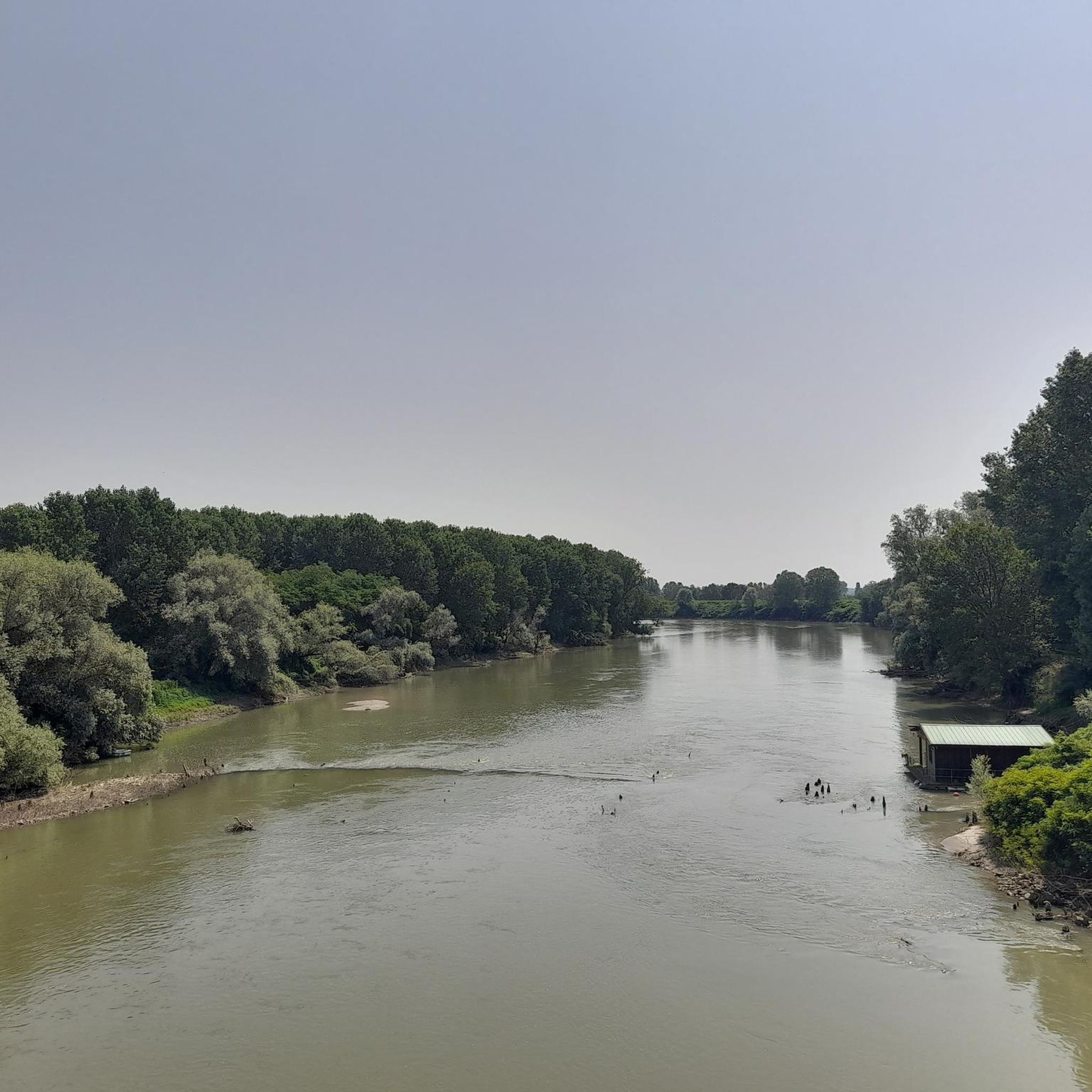

Tips from the Community

Gravel ride off the main roads
1
0

It's pleasant cycling here. Towards the sun.
0
0

Excellent little road with little traffic
0
0

pier in Mantua
1
0

Small charming town where the Gonzaga family spent some time. There is a castle and a square surrounded by arcades. The interior of the church was also designed by the Gonzagas.
1
0

The Cycle Route as a whole involves four regions - Lombardy, Veneto, Emilia-Romagna and Tuscany - and extends from Verona to Florence. This stretch can be defined as the backbone of a larger route that in the future will develop from the Alpine regions of the national territory to the insular ones. The itinerary is inserted on already existing cycle routes and is part of the itinerary of the European network EuroVelo 7 Sun Route, the project of cycle paths that will connect North Cape, in Norway, to Malta, for a total of 7,400 km, and is branch no. 1 of the national BicItalia network. It is therefore clear that the Ciclovia del Sole is a unique opportunity in Italy to create and enjoy a cycle tourism itinerary that, through the combination of the qualities of the places crossed, the historical-cultural and landscape offer, is proposed on the cycle tourism market, enhancing and bringing important benefits to the territories crossed. CICLOVIA DEL SOLE #inLOMBARDIA (THE ONE WE TRAVELED) As for the Lombard section, this is particularly true for the province of Mantua, from the border with Veneto in the municipality of Monzambano to the border with Emilia-Romagna in the municipality of Moglia, for a length of about 90 km (101 if you also include the sections that enter and exit Veneto), developing largely within the Mincio Park. The route, in Lombardy, specifically crosses the following municipalities: Monzambano, Ponti sul Mincio, Goito, Marmirolo, Porto Mantovano, Mantua, Borgo Virgilio, Bagnolo San Vito, San Benedetto Po, Moglia. The Lombard section of the Ciclovia del Sole is directly connected to two other important cycle routes. In fact, it intersects in Veneto, in Peschiera del Garda, the Garda Cycle Route that continues in Lombardy from Sirmione to Gardone Riviera and in San Benedetto Po the VENTO Cycle Route, which will connect Venice to Turin. Getting on the saddle in the Municipality of Ponti sul Mincio, you follow the banks of the Mincio River for a short stretch and, after Mozambano, you leave Lombardy to continue in Veneto. You then return to Lombardy at Volta Mantovana. The cycle path is partly immersed in the greenery of the Mincio Park and offers those who travel it a relaxing river landscape of the agricultural countryside. At the height of the town of Pozzolo (a hamlet of Marmirolo) you leave the river and go along the Pozzolo-Maglio drainage canal, until you rejoin the Diversivo-Mincio drainage canal. You would hardly notice the arrival in Mantua, if it were not for the walkway located next to the railway and road bridge of the Cittadella that divides the Lago Superiore from the Lago di Mezzo. Here the cycle path passes under the railway and the road, runs along the edge of the lake and then continues to the right of the Mincio and reaches the Po in the Municipality of San Benedetto Po, and crosses it using the bridge of the S.S. 413. After leaving the state road, immediately after crossing the river, it runs along the Po on its right and then crosses San Benedetto Po and follows the urban road up to the Secchia river. Here the route heads south along the river bank and descends further to Moglia, where it crosses the regional border and then continues towards Bologna.
1
0
Frequently Asked Questions
How many gravel bike trails are available around Redondesco?
There are 11 gravel bike trails around Redondesco, offering a variety of experiences for cyclists. These routes are highly rated by the komoot community, with an average score of 4.7 stars.
What kind of terrain can I expect on gravel bike trails near Redondesco?
The gravel bike trails around Redondesco primarily feature unpaved country roads, dirt paths, and some paved sections. You'll ride through diverse landscapes including lowland forests, wetlands, and agricultural plains, especially within the Oglio Sud Regional Park and along the Oglio River.
What is the best time of year for gravel biking in Redondesco?
The Oglio Sud Regional Park and surrounding areas are enjoyable for gravel biking across multiple seasons. Spring and autumn offer pleasant temperatures and lush scenery. In summer, you might encounter extended sandy beaches along the Oglio River, though some dirt paths could be dusty. Winter conditions would depend on local weather, with wetlands potentially becoming muddy.
Are there options for different skill levels?
Yes, the Redondesco area caters to various skill levels. Out of the 11 available routes, you'll find 1 easy route, 7 moderate routes, and 3 more challenging options. For an easy ride, consider the Bridge impassable loop from Calvatone.
What natural features can I see while gravel biking near Redondesco?
Gravel biking near Redondesco offers views of the Oglio River's meanders, lowland forests with willow, poplar, alder, downy oak, and ash trees, and diverse wetlands. The Le Bine Nature Reserve within the Oglio Sud Regional Park is particularly rich in flora and fauna, making it a prime spot for birdwatching.
Are there any specific landmarks or points of interest along the gravel routes?
Yes, several points of interest can be found. You might encounter the Chiavica Gasparetti, a notable structure, or ride along the Dirt Road Along the Oglio River. The confluence where The Chiese river flows into the Oglio river is another natural landmark. Near Bozzolo, you can also see the historic Porta San Martino.
What do other cyclists say about gravel biking in Redondesco?
The gravel biking routes around Redondesco are highly regarded by the komoot community, holding an average rating of 4.7 stars from 3 reviews. Over 80 gravel bikers have explored the varied terrain, often praising the extensive unpaved country roads and the scenic beauty of the Oglio Sud Regional Park.
Are there family-friendly gravel biking routes in the Redondesco area?
While specific 'family-friendly' designations aren't always explicit, the region's generally flat terrain and the presence of an easy route like the Bridge impassable loop from Calvatone make it suitable for families. The Oglio Cycle Route, which passes through the Oglio Sud Park, is recognized for its suitability for all types of cyclists, including families.
Can I bring my dog on the gravel trails around Redondesco?
Many natural areas, including parts of the Oglio Sud Regional Park, are generally dog-friendly, especially on established trails. However, always keep your dog on a leash, particularly in nature reserves like Le Bine, to protect local wildlife. Check specific park regulations for any restrictions.
Where can I find parking for gravel biking near Redondesco?
Parking is generally available at access points to the Oglio Sud Regional Park and along the Oglio River cycling network. Look for designated parking areas in towns like Rodigo or Calvatone, which serve as starting points for popular routes such as the Mantua Lakes Cycle Path – Mantua loop from Rodigo or the Chiesa di Carzaghetto – Piadena-Canneto Canal loop from Calvatone.
Are there circular gravel bike routes available?
Yes, many of the gravel routes around Redondesco are designed as loops. Examples include the Mantua Lakes Cycle Path – Mantua loop from Rodigo, the Chiavica Gasparetti – Path Through the Trees loop from Asola, and the Chiesa di Carzaghetto – Piadena-Canneto Canal loop from Calvatone, providing convenient starting and ending points.
Is public transport an option to reach the gravel trails?
While Redondesco itself is a smaller town, its proximity to the Oglio Sud Regional Park means that accessing the trails often involves reaching nearby larger towns first. Public transport options like regional buses or trains might connect to towns within the Mantua province, from which you could cycle to the trailheads. It's advisable to check local transport schedules for specific connections.
Most popular routes around Redondesco
Most popular attractions around Redondesco

Get inspired with the komoot mobile app


Explore more
Browse the best Gravel rides in other regions.
