The best gravel rides around Tambre
4.6
(351)
3,067
riders
47
rides
Gravel biking around Tambre offers diverse landscapes within the Alpago region of Italy. The area is characterized by the Belluno Prealps, providing varied terrain for cyclists. A central natural feature is Lake Santa Croce, the second-largest lake in the Veneto region, which offers picturesque lakeside routes. The dense Cansiglio Forest also provides serene environments and engaging forest roads for gravel cyclists.
Best gravel bike trails around Tambre
- The most popular gravel bike trail is Occhio (Eye Sculpture) – Lake Santa…
Last updated: October 21, 2026
4.9
(76)
554
riders
36.9km
03:46
760m
760m
Hard gravel ride. Very good fitness required. Mostly paved surfaces. Suitable for all skill levels.
4.9
(102)
869
riders
51.3km
04:09
1,200m
1,200m
Hard gravel ride. Very good fitness required. Mostly paved surfaces. Suitable for all skill levels.

5.0
(9)
178
riders
54.0km
03:48
1,190m
1,190m
Hard gravel ride. Very good fitness required. Mostly paved surfaces. Suitable for all skill levels.
4.8
(11)
77
riders
32.5km
02:20
670m
670m
Hard gravel ride. Very good fitness required. Mostly paved surfaces. Suitable for all skill levels.
5.0
(1)
33
riders
53.2km
04:09
1,440m
1,430m
Hard gravel ride. Very good fitness required. Mostly paved surfaces. Suitable for all skill levels.
Get access to more routes and recommendations from other explorers.
Already have an account?
Our route recommendations are based on thousands of hikes, rides, and runs completed by other people on komoot.
Start today with a free account
Your next adventure awaits.
Popular around Tambre
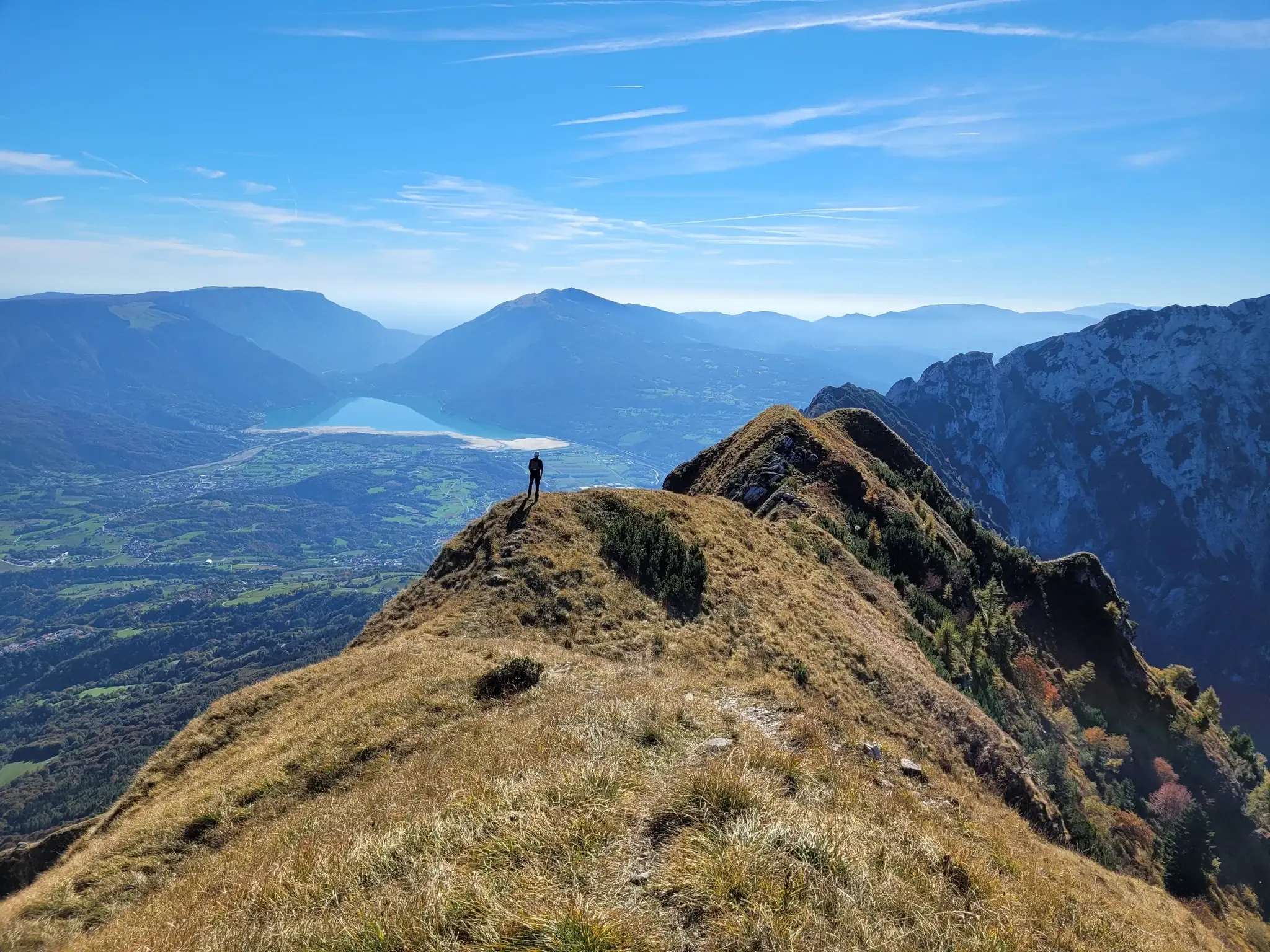
A fairytale hike in Italy’s Pale Mountains – Alta Via delle Dolomiti 7

A trail running adventure in the Dolomites – Alta Via 6

Via delle Prealpi – On the way with the MTB in the Venetian Prealps
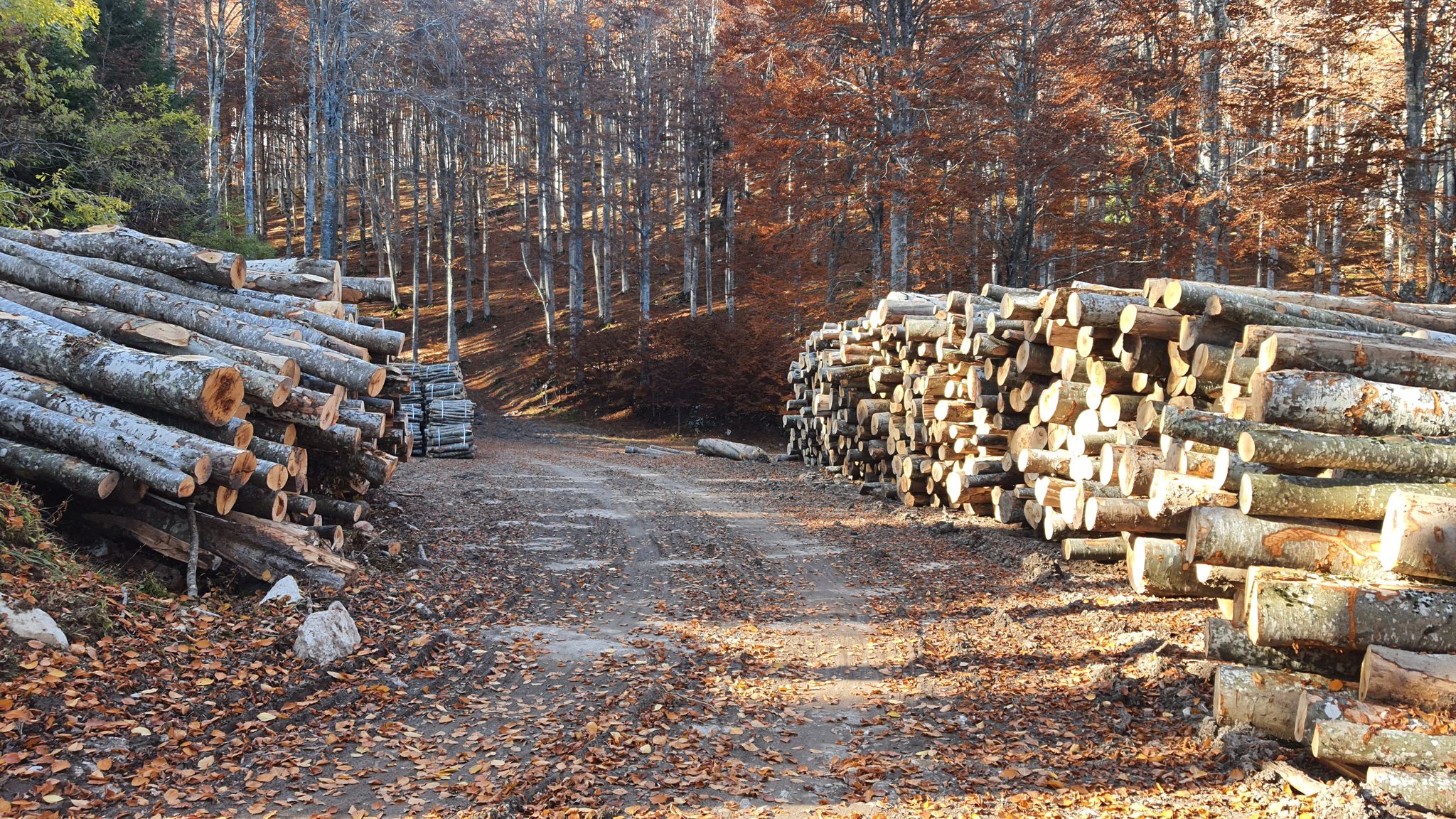
Between dirt roads and forests – Grande Anello Bellunese in Italy
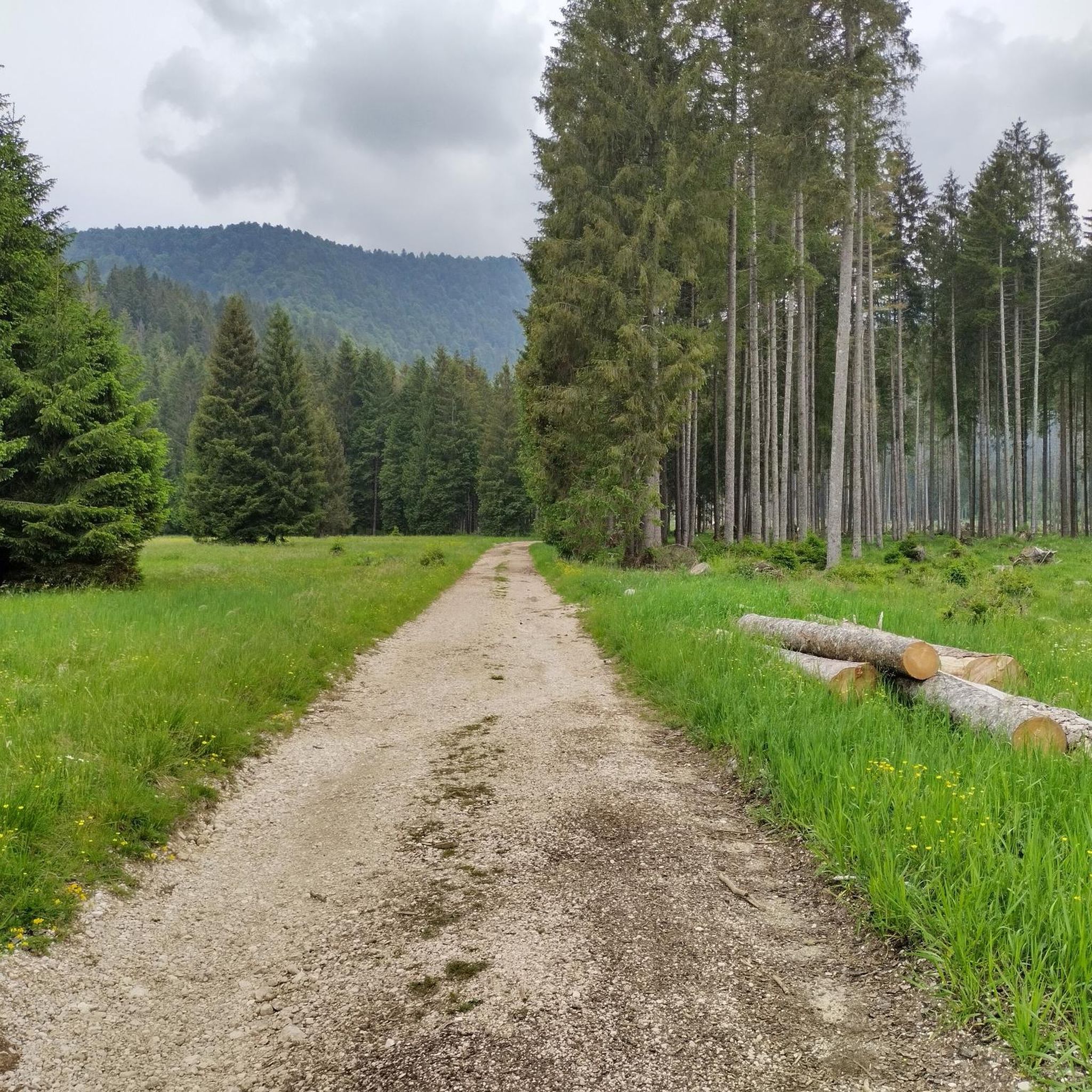
Hiking around Tambre
MTB Trails around Tambre
Cycling around Tambre
Running Trails around Tambre
Road Cycling Routes around Tambre

Mountain Hikes around Tambre
Other adventures around Tambre


Tips from the Community

Art on the unpaved cycle path MV
1
0
Art on the cycle path MV unfortunately without asphalt
1
0
View from the canal to the mountains.
1
0
Scenically beautiful route without asphalt.
2
0

The Pian del Cansiglio is a vast plateau located in the Belluno Prealps at an altitude between 900 and 1,200 meters above sea level. It extends across the Veneto region (provinces of Belluno and Treviso) and Friuli-Venezia Giulia (province of Pordenone). Its famous and immense forest – composed mainly of beech and Norway spruce – is considered one of the largest and most fascinating in Italy, historically known as the "Bosco della Serenissima" because the Republic of Venice drew timber from it for the oars of its ships.
0
0

Il Ristoro Crosetta, located at an altitude of 1,118 meters on the homonymous pass that connects the Treviso plain to the Cansiglio plateau, is a historic and unmissable stop for hikers, cyclists, and motorcyclists. This cozy stone and wood structure embodies the quintessence of mountain hospitality, offering a regenerating refuge in every season. The cuisine offers the authentic flavors of the Veneto-Belluno tradition, featuring game dishes, typical Cansiglio cheeses, warm polenta, and fresh mushrooms, all accompanied by homemade desserts and a good glass of local wine. Nestled in a centuries-old beech and fir forest, the establishment boasts a strategic position that makes it the ideal starting point or refreshment stop for exploring the numerous surrounding nature trails, offering an old-world atmosphere for relaxation and good food.
0
0

Together with Pian Cansiglio and Cornesega, Valmenera is one of the three depressions that make up the central part of the Cansiglio Plateau. The largest in terms of area. This evocative basin is particularly known for its cold microclimate, where record thermal inversions are recorded with temperatures that, in the winter months, can drop to extreme levels. A historical peak was reached in March 2005, when ARPA Veneto analyses recorded a temperature of -35.4°C. Located in the municipal territory of Tambre (BL), it has a wide and flat bottom, called Piano di Valmenera. It represents a typical polje, whose slopes are largely covered by arboreal vegetation; the western slopes, on the other hand, are characterized by meadows, with rather degraded herbaceous vegetation, due to exploitation in the form of mowing and grazing. The dairy farm of the same name, which today operates as a farm stay, is in fact surrounded by 74 hectares of meadows used for grazing its own livestock. Up to here, through the Campon valley, came a tongue of the ancient and vast Piave Glacier. The Piano di Valmenera and part of the basin are part of the "Pian di Landro-Baldassarre" Oriented Nature Reserve.
3
0

the charm of this forest and the silence
0
0
Frequently Asked Questions
How many gravel bike routes are available around Tambre?
There are over 30 gravel bike routes around Tambre. These routes cater to various skill levels, from moderate lake loops to demanding mountain climbs, ensuring options for different abilities.
What kind of terrain can I expect on gravel bike trails in Tambre?
Gravel biking in Tambre offers diverse terrain, from the extensive woodlands and forest roads of the Cansiglio Forest to the rolling hills and picturesque lakeside paths around Santa Croce Lake. You'll encounter a mix of unpaved tracks, quiet country lanes, and significant elevation changes due to the Belluno Prealps and surrounding mountains like Monte Cavallo and Col Nudo.
What are the difficulty levels of gravel biking routes in Tambre?
The routes around Tambre offer a range of difficulties. There is 1 easy route, 8 moderate routes, and 24 difficult routes. This variety ensures options for both beginners looking for a relaxed ride and experienced cyclists seeking a challenge.
Are there any circular gravel bike routes in Tambre?
Yes, several circular gravel bike routes are available. One popular option is the Ring tour on Cansiglio from La Crosetta, which takes you through the Cansiglio Forest. Another is the Candaglia Forest Road – Strada della Candaglia loop from Spert, offering a challenging ride through varied terrain.
Are there easy gravel bike trails suitable for beginners in Tambre?
While many routes in Tambre are rated as moderate to difficult, there is at least one easy gravel bike route available. For those new to gravel biking or looking for a more relaxed experience, it's advisable to check the route details on komoot for specific elevation profiles and terrain descriptions to find the most suitable option.
Where can I find challenging gravel bike routes in Tambre?
For experienced gravel bikers seeking a challenge, Tambre offers 24 difficult routes. The Occhio (Eye Sculpture) – Lake Santa Croce loop from Tambre is a difficult 54.0 km route with significant elevation gain. Another demanding option is the Candaglia Forest Road – Strada del Taffarel loop from Area Wilderness Pian de le Stele, featuring mountainous terrain and engaging forest roads.
What natural features or landmarks can I see along the gravel bike trails?
Many gravel routes in Tambre offer panoramic views of natural features. You can cycle around the picturesque Santa Croce Lake, explore the dense Cansiglio Forest, and enjoy views of the Belluno Prealps. Nearby attractions include the Gorgazzo Spring and the Caglieron Caves. For mountain views, highlights like Mount Pizzoc and Manera Peak (Cimon del Cavallo) are also accessible in the broader region.
What do other gravel bikers say about the routes in Tambre?
The gravel biking routes in Tambre are highly rated by the komoot community, with an average score of 4.7 stars from over 220 reviews. Reviewers often praise the diverse landscapes, from serene forest roads to picturesque lake views, and the variety of challenges offered by the Belluno Prealps.
Is Tambre suitable for family-friendly gravel biking?
While many routes are challenging, the region's diverse network includes options that might be suitable for families. It's recommended to look for routes specifically marked as easy or moderate, focusing on flatter sections around Santa Croce Lake or less demanding forest roads within the Cansiglio Forest. Always check the route's distance and elevation profile to ensure it matches your family's ability.
What is the best time of year for gravel biking in Tambre?
The best time for gravel biking in Tambre is generally from spring to autumn. During these seasons, the weather is more favorable, and the trails are typically clear of snow, offering ideal conditions for exploring the Cansiglio Forest, Santa Croce Lake, and the Belluno Prealps. Winter can bring snow, especially at higher elevations, making some routes inaccessible for gravel biking.
Are there places to eat or stay near the gravel trails in Tambre?
Tambre and the surrounding Alpago area offer various amenities for visitors. You can find cafes, pubs, and accommodation options in the villages. Many routes pass through or near these towns, providing opportunities for refreshments and overnight stays. It's advisable to plan your route to include stops at these locations if needed.
Most popular attractions around Tambre

Get inspired with the komoot mobile app


Explore more
Browse the best Gravel rides in other regions.
