The best gravel rides around Chies D'Alpago
4.5
(105)
1,174
riders
31
rides
Gravel biking around Chies D'Alpago offers diverse terrain within the Belluno Pre-Alps, characterized by rolling hills and mountains like Monte Cavallo and Col Nudo. The region features significant natural landmarks, including Lago di Santa Croce, the second-largest lake in Veneto, which is often encircled by routes. Riders can expect a mix of forest tracks, such as the historic Strada del Taffarel, and paths with notable elevation changes, providing both challenging climbs and scenic routes.
Best gravel bike trails around Chies…
Last updated: July 4, 2026
4.9
(54)
560
riders
67.6km
05:05
1,550m
1,550m
Hard gravel ride. Very good fitness required. Mostly paved surfaces. Suitable for all skill levels.
4.9
(9)
131
riders
40.8km
03:01
830m
830m
Hard gravel ride. Very good fitness required. Mostly paved surfaces. Suitable for all skill levels.

Sign up for free
4.3
(12)
116
riders
31.5km
01:42
200m
200m
Moderate gravel ride. Good fitness required. Mostly paved surfaces. Suitable for all skill levels.
5.0
(1)
33
riders
53.4km
04:10
1,440m
1,430m
Hard gravel ride. Very good fitness required. Mostly paved surfaces. Suitable for all skill levels.
5.0
(1)
25
riders
21.4km
01:07
130m
130m
Easy gravel ride. Great for any fitness level. Mostly paved surfaces. Suitable for all skill levels.
Get access to more routes and recommendations from other explorers.
Sign up for free
Already have an account?
Our route recommendations are based on thousands of hikes, rides, and runs completed by other people on komoot.
Start today with a free account
Your next adventure awaits.
Login or Signup
Popular around Chies D'Alpago
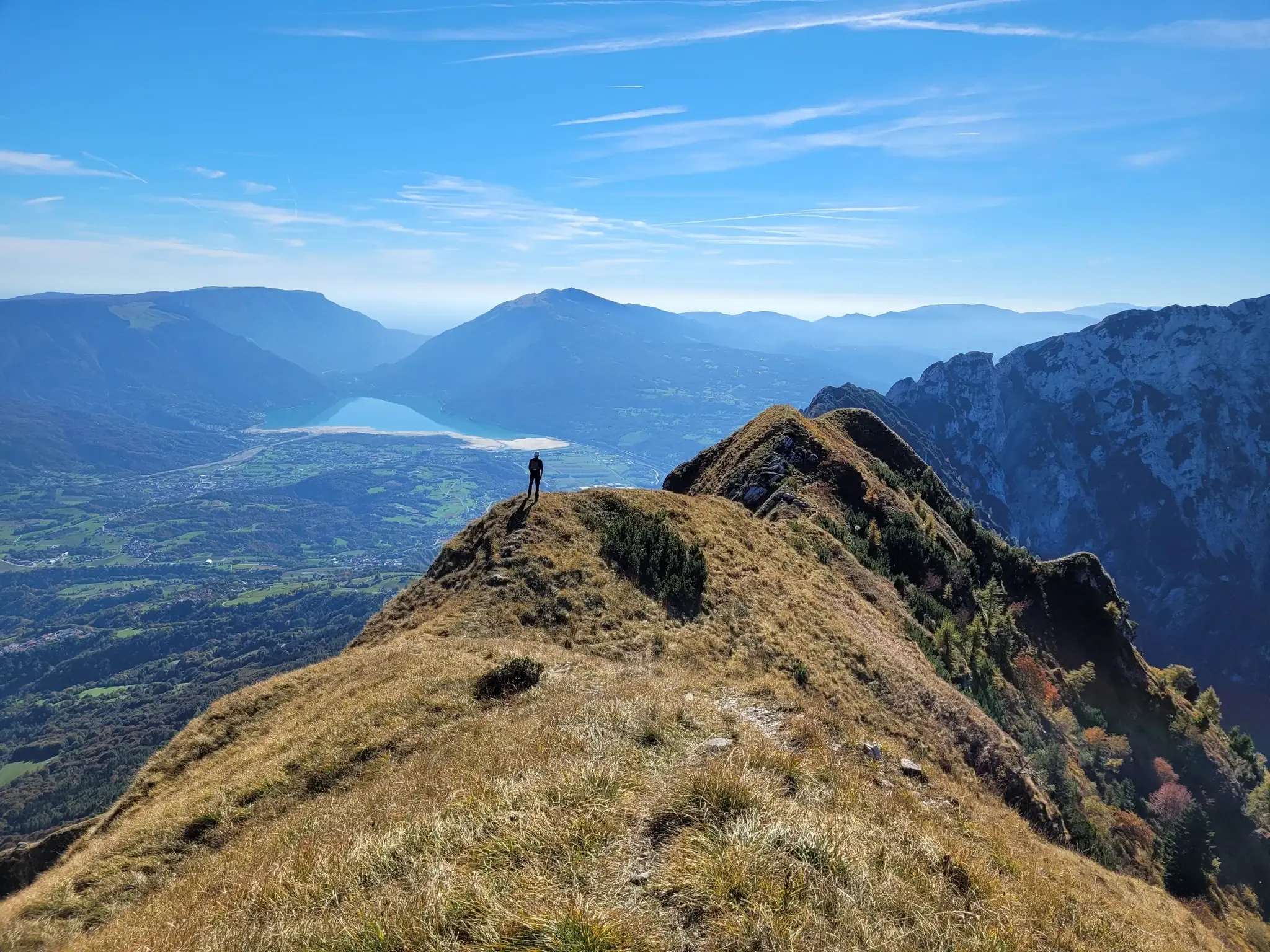
A fairytale hike in Italy’s Pale Mountains – Alta Via delle Dolomiti 7

A trail running adventure in the Dolomites – Alta Via 6
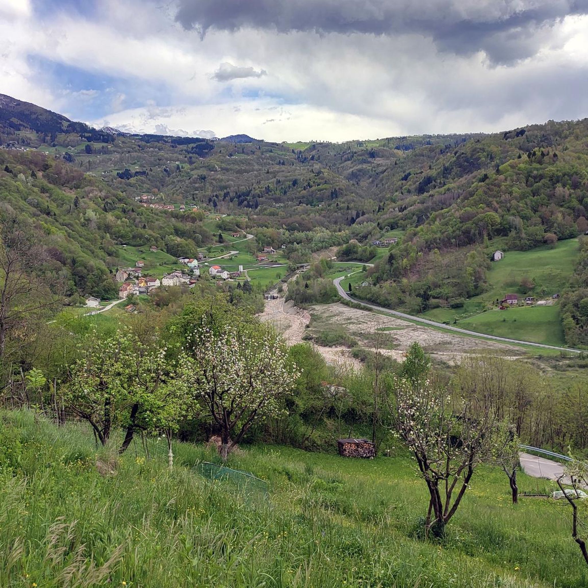
Hiking around Chies D'Alpago
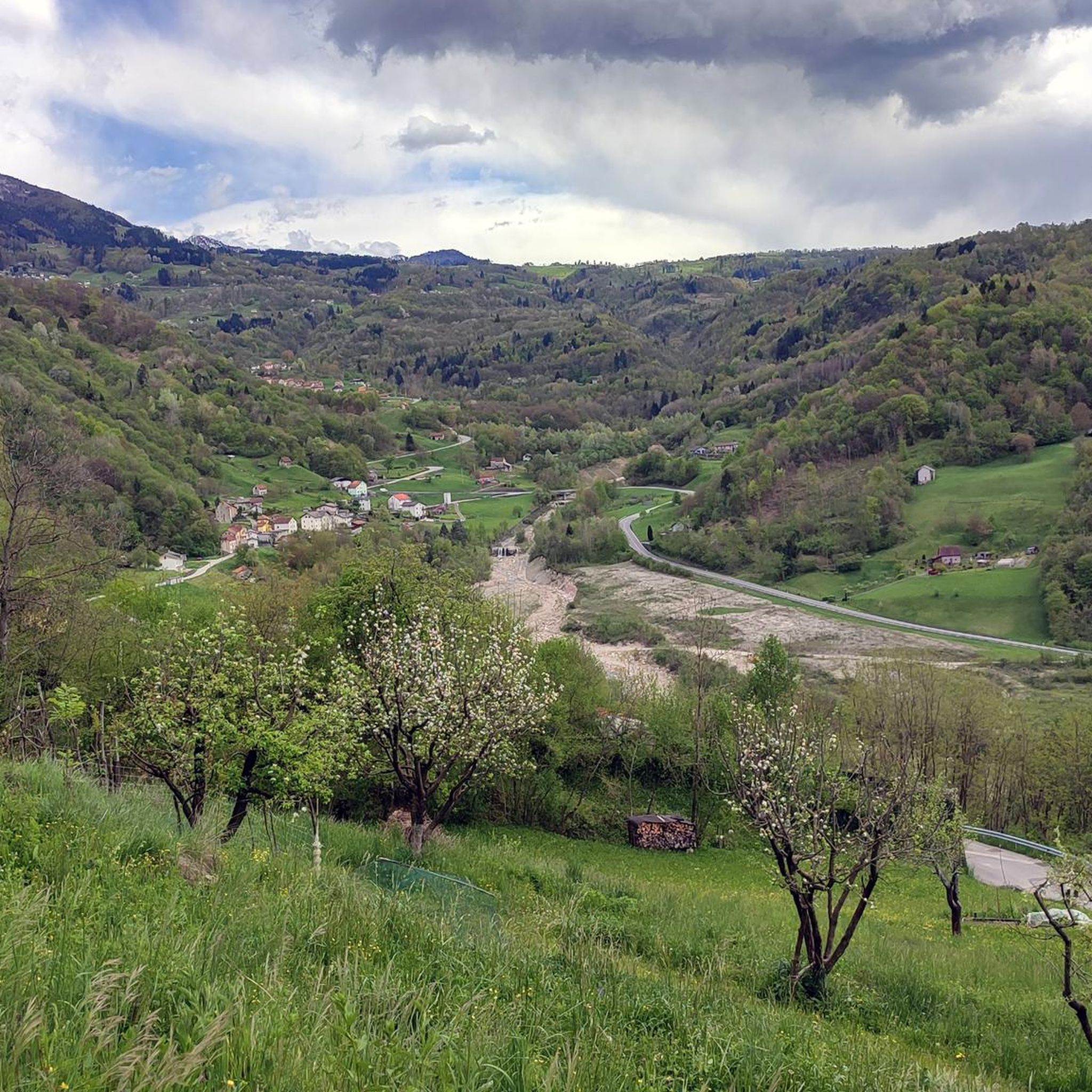
Road Cycling Routes around Chies D'Alpago
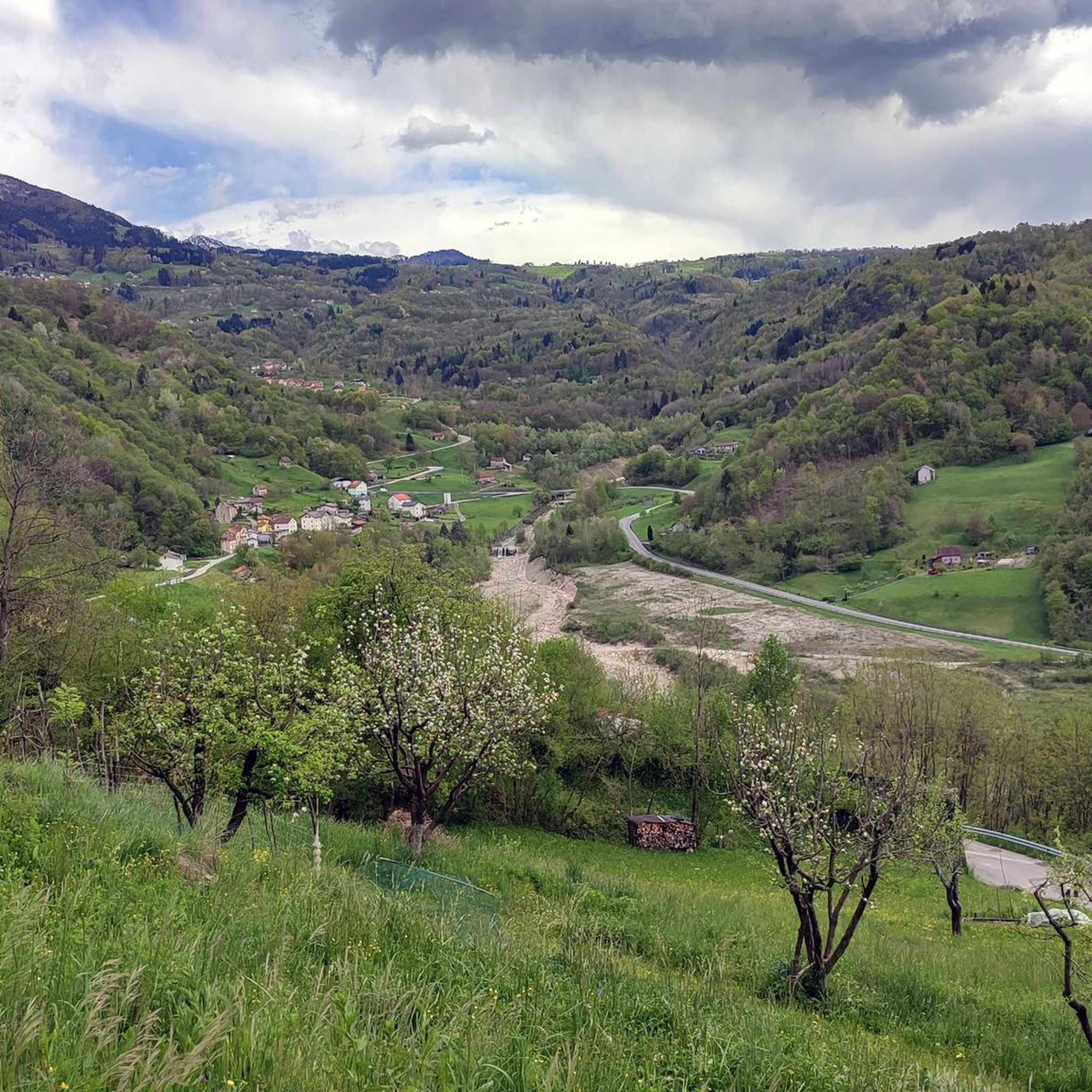
Cycling around Chies D'Alpago
Running Trails around Chies D'Alpago
MTB Trails around Chies D'Alpago

Mountain Hikes around Chies D'Alpago


Tips from the Community

The Torrente Tesa (Alpago, Belluno) flows in the Alpago basin, in the province of Belluno (Veneto). It is the main tributary of Lake Santa Croce, collecting the waters of the entire hydrographic basin of the area. Near its mouth, close to Farra d'Alpago, there is a famous cable-stayed cycle-pedestrian bridge. It is a suspension bridge much frequented by cycle tourism lovers along the routes in the area.
1
0

Together with Pian Cansiglio and Cornesega, Valmenera is one of the three depressions that make up the central part of the Cansiglio Plateau. The largest in terms of area. This evocative basin is particularly known for its cold microclimate, where record thermal inversions are recorded with temperatures that, in the winter months, can drop to extreme levels. A historical peak was reached in March 2005, when ARPA Veneto analyses recorded a temperature of -35.4°C. Located in the municipal territory of Tambre (BL), it has a wide and flat bottom, called Piano di Valmenera. It represents a typical polje, whose slopes are largely covered by arboreal vegetation; the western slopes, on the other hand, are characterized by meadows, with rather degraded herbaceous vegetation, due to exploitation in the form of mowing and grazing. The dairy farm of the same name, which today operates as a farm stay, is in fact surrounded by 74 hectares of meadows used for grazing its own livestock. Up to here, through the Campon valley, came a tongue of the ancient and vast Piave Glacier. The Piano di Valmenera and part of the basin are part of the "Pian di Landro-Baldassarre" Oriented Nature Reserve.
1
0

the charm of this forest and the silence
0
0

The Via Regia cycle path is a picturesque cycle-pedestrian route that winds north of Lake Santa Croce, connecting the Alpago and the area of Ponte nelle Alpi to Soverzene. The route, mostly flat and suitable for cyclists of all levels, closely follows the path of the impressive hydraulic engineering works that connect the Piave river to the lake basin. Cycling along this route, you will find yourself immersed in a natural setting of great value, characterized by dense riparian forests and wetlands. The route passes through the Sbarai Nature Oasis, offering splendid views of the reed beds and the lake, before heading north between rock faces loved by climbers. It is a fundamental segment for both local tourism and long-distance cycle tourists, forming part of the famous international Munich-Venice route.
1
0
The cycle-pedestrian walkway over the Tesa stream is an architectural work of great charm, located near the northern bank of Lake Santa Croce, in Alpago. It is a 110-meter-long cable-stayed bridge, characterized by an elegant structure with metal pylons and a deck made of larch glulam, which integrates perfectly into the surrounding natural landscape. This bridge plays a fundamental strategic role for the area's soft mobility: it connects the two banks of the Tesa stream, allowing pedestrians and cyclists to cross in complete safety. The walkway is part of the Alpago cycle path and international cycle tourism routes, such as the famous Munich-Venice cycle path, offering those who cross it a spectacular panoramic view of the stream's mouth and the nearby body of water.
3
0

Cycle pedestrian bridge over the Tesa river.
17
0
Beautiful cycle path along the Piave river.
8
0
Suggestive cycle path along the Piave river.
14
0
Frequently Asked Questions
How many gravel bike trails are available in Chies D'Alpago?
There are over 20 gravel bike trails in Chies D'Alpago, offering a wide range of experiences from moderate to difficult. The region is well-regarded for its diverse terrain.
What kind of terrain can I expect on gravel bike trails in Chies D'Alpago?
You can expect a varied terrain that includes forest tracks, rolling hills, and mountain ascents. Many routes feature the historic Strada del Taffarel, which winds through ancient beech forests, and paths around the scenic Lago di Santa Croce. The landscape blends paved sections with gravel trails, offering a full spectrum of the region's scenery.
Are there any beginner-friendly gravel bike routes in Chies D'Alpago?
While many routes in Chies D'Alpago are rated as difficult, there are options suitable for those looking for a more moderate experience. The area around Lago di Santa Croce offers picturesque lakeside views and generally more moderate rides. For example, the Lake Santa Croce – Lake Santa Croce loop from Farra d'Alpago is a popular choice, often completed in about 3 hours 11 minutes.
Are there challenging gravel routes for experienced riders?
Yes, Chies D'Alpago offers numerous challenging routes for experienced gravel bikers. These often involve significant elevation changes and longer distances. A notable difficult route is the Strada del Taffarel – Candaglia Forest Road loop from Stazione per l'Alpago, which is 67.6 km long with over 1500 meters of elevation gain. Another challenging option is the Candaglia Forest Road – Strada della Candaglia loop from Spert, a 40.4 km path exploring forest tracks with notable elevation changes.
Can I find loop gravel bike trails in the region?
Yes, many of the gravel bike trails in Chies D'Alpago are designed as loops, allowing you to start and end at the same point. Popular loop routes include the Strada del Taffarel – Candaglia Forest Road loop from Stazione per l'Alpago and the Lake Santa Croce – Strada del Taffarel loop from Stazione per l'Alpago.
What natural landmarks or attractions can I see along the gravel bike trails?
The trails often pass by stunning natural features. You can ride along the shores of Lago di Santa Croce, the second-largest lake in Veneto, or through the ancient beech forests of the Cansiglio Wood nature reserve. Some routes may offer views of Monte Cavallo and Col Nudo. You might also encounter the Strada del Taffarel, a historic forest track, or the First Viewpoint (Skywalk del Dint) for panoramic vistas.
Are there any historical sites or cultural points of interest accessible by gravel bike?
Yes, the region has historical and cultural points of interest. The Strada del Taffarel itself is a historic forest track established in 1548. You can also explore the Vallorch Cimbrian Village, a rebuilt historical site showcasing the heritage of 18th-century woodcutters. The Alpago Natural History Museum in Chies D'Alpago offers cultural enrichment with its collections.
Are there any waterfalls or scenic gorges to visit?
Yes, the Vajont Gorge and Waterfall is a notable natural monument in the vicinity that can be incorporated into longer rides or visited separately.
What do other gravel bikers say about the trails in Chies D'Alpago?
The gravel biking trails in Chies D'Alpago are highly rated by the komoot community, with an average score of 4.7 stars from over 70 reviews. Riders often praise the diverse terrain, the scenic beauty of Lake Santa Croce, and the challenging yet rewarding climbs through the Pre-Alps.
Are e-bikes suitable for the gravel trails in Chies D'Alpago?
Yes, e-bikes are suitable for the gravel trails in Chies D'Alpago, especially for those who prefer less strenuous climbs or want to cover longer distances. The varied gradients and mountain ascents make e-bikes a popular choice for many riders.
Are there places to eat or rest along the routes?
Yes, you can find places to eat and rest. For example, La Casera Restaurant by Pippo is a highlight in the area. Additionally, Malga Pian Formosa offers local produce, including the famous Alpago lamb, and is a good spot to taste regional specialties.
Where can I find parking for gravel biking trails in Chies D'Alpago?
Parking is generally available in the towns and villages that serve as starting points for the trails, such as Stazione per l'Alpago, Farra d'Alpago, and Spert. Specific parking information can often be found on individual route descriptions on komoot.
Most popular routes around Chies D'Alpago
Most popular attractions around Chies D'Alpago

Get inspired with the komoot mobile app


Explore more
Browse the best Gravel rides in other regions.
