The best gravel rides around Santa Maria Hoè
4.4
(135)
1,090
riders
47
rides
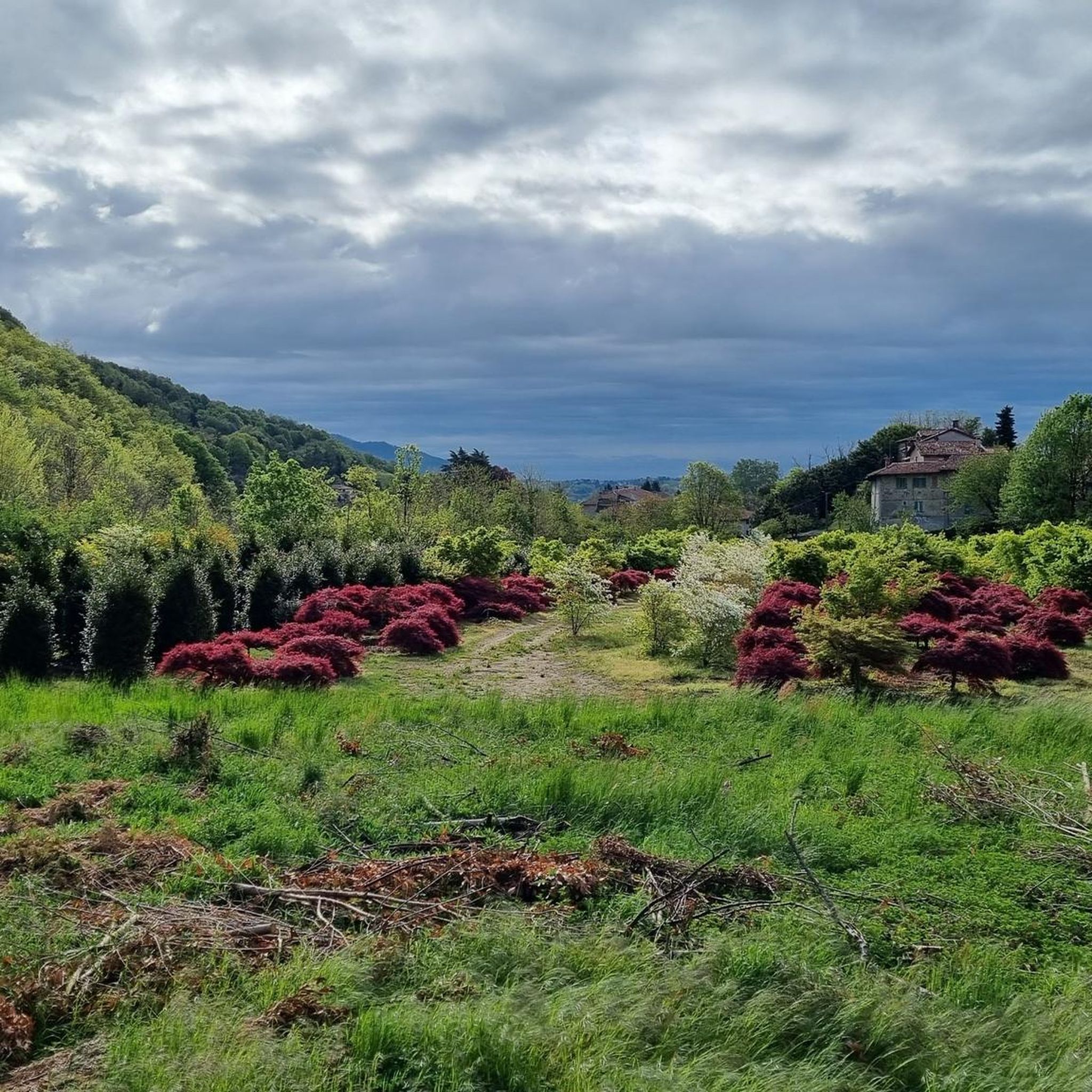
Gravel biking around Santa Maria Hoè offers a diverse landscape for riders, characterized by rolling hills, river valleys, and scenic lake shores. The region features a mix of natural areas, including oases, and passes through charming villages. This varied terrain provides a range of surfaces suitable for gravel cycling, from riverside paths to more challenging ascents.
Best gravel bike trails around Santa Maria Hoè
- The most popular gravel bike trail is Lambro Cycle Path – Lambro Riverside Trail loop from Oggiono, a 43.6 miles (70.2 km) trail that takes 4 hours 7 minutes to complete. This route follows the Lambro river, offering a mix of riverside paths and open terrain.
- Another top favourite among local gravel bikers is Lake Segrino – Lake Segrino loop from Airuno, a difficult 54.1 miles (87.0 km) path. This trail provides extensive views of Lake Segrino and its surrounding natural environment.
- Local gravel bikers also love the Oasis of Galbusera Bianca – Sirtori Village and Church loop from Missaglia, a 14.6 miles (23.5 km) trail leading through a natural oasis and historic villages, often completed in about 2 hours 6 minutes.
- Gravel biking around Santa Maria Hoè is defined by river valleys, lake shores, and rolling hills. The network offers options for different ability levels, from easy routes to more challenging trails.
- The routes in Santa Maria Hoè are highly rated by the komoot community with an average score of 4.4 stars from over 170 reviews. More than 1,600 gravel bikers have used komoot to explore Santa Maria Hoè's varied terrain.
Last updated: September 1, 2026
4.3
(50)
310
riders
79.8km
04:51
640m
640m
Hard gravel ride. Very good fitness required. Mostly paved surfaces. Suitable for all skill levels.
3.0
(4)
21
riders
70.1km
04:11
630m
630m
Hard gravel ride. Very good fitness required. You may need to push your bike for some segments of this route.

Sign up for free
4.8
(4)
29
riders
24.5km
01:31
110m
110m
Easy gravel ride. Great for any fitness level. Mostly paved surfaces. Suitable for all skill levels.
4.0
(1)
9
riders
23.3km
01:46
490m
490m
Hard gravel ride. Very good fitness required. Mostly paved surfaces. Suitable for all skill levels.
5.0
(1)
14
riders
112km
08:09
2,640m
2,640m
Hard gravel ride. Very good fitness required. Mostly paved surfaces. Suitable for all skill levels.
Get access to more routes and recommendations from other explorers.
Sign up for free
Already have an account?
Our route recommendations are based on thousands of hikes, rides, and runs completed by other people on komoot.
Start today with a free account
Your next adventure awaits.
Login or Signup
Tips from the Community

The section of the Naviglio Martesana cycle path between Bellinzago Lombardo and Inzago is a flat, entirely asphalted stretch without technical difficulties, ideal for cycle tourists of all levels. This specific rural fragment runs for about 3-4 kilometers along the Martesana canal in a protected area.
1
0

The parish church of San Giovanni Battista Martire in Montevecchia, built in the 1920s. The structure is located at the intersection of via Belvedere and via Donzelli, halfway up the hill. The main sanctuary, the Santuario della Beata Vergine del Carmelo, is located higher up and is reachable via a staircase of 180 steps. The area is famous for its cycling and walking routes in the Montevecchia and Valle del Curone Natural Park.
0
0
A cycle-pedestrian route of about 37 kilometers connecting Monza to Erba, crossing the Brianza region along the Lambro river. It is a path immersed in the greenery of the Lambro Valley Regional Park, characterized by a mixed surface (dirt, cobblestone, and asphalt) ideal for mountain bikes, gravel bikes, or robust city bikes. Main Features of the Route Start: Monza Park (entrance near Biassono/Lesmo). Finish: Center and train station of Erba (CO). Total length: Approximately 37 km (can be divided into shorter stages). Surface type: Mixed, with a prevalence of dirt and forest paths. Difficulty: Medium-easy, with the presence of some steep ups and downs.
0
0

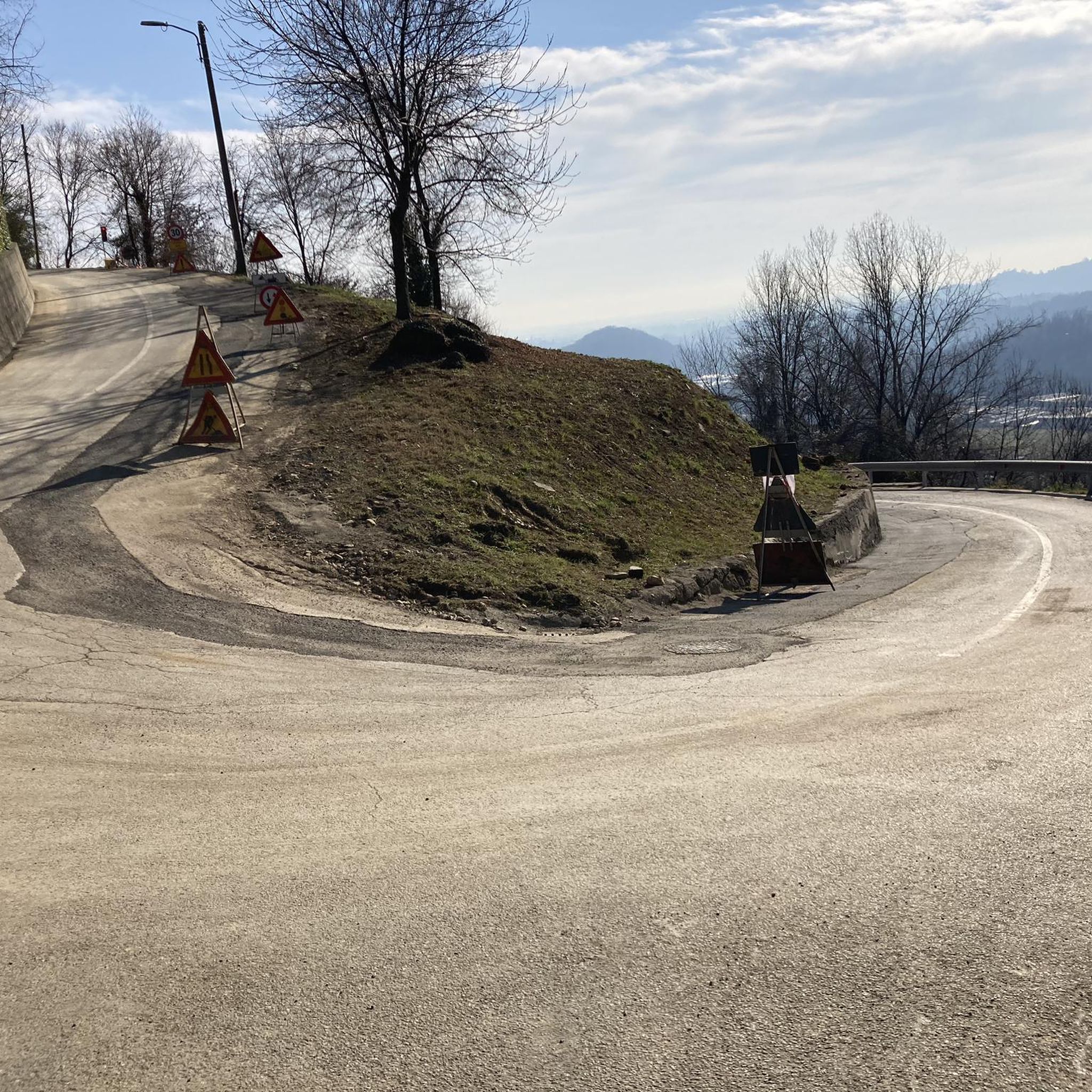
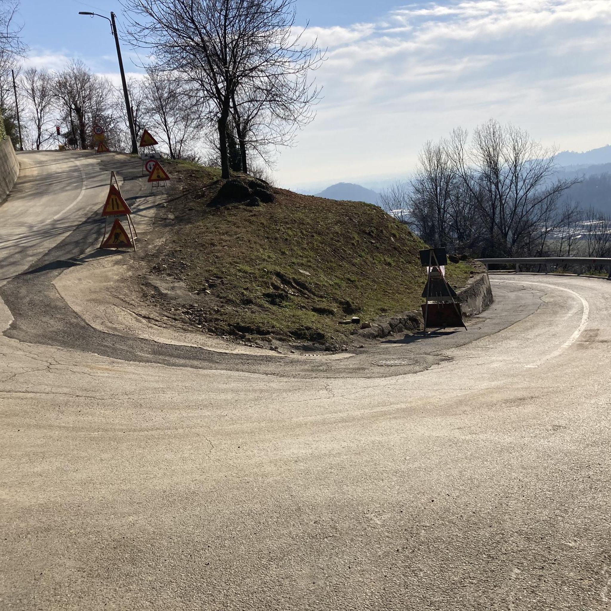
climb almost finished, last short stretch remaining
1
0
180-degree view of the two slopes
0
0
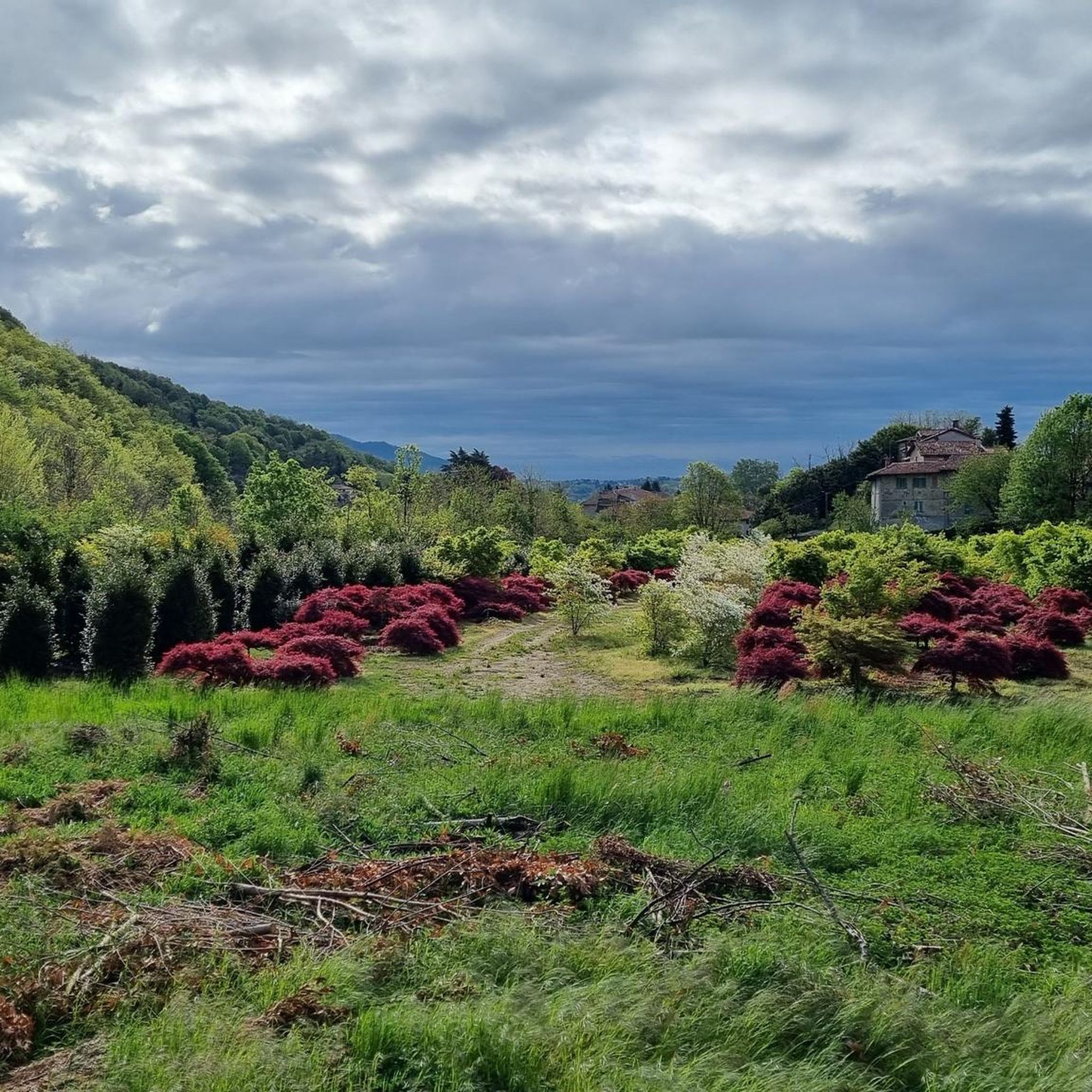
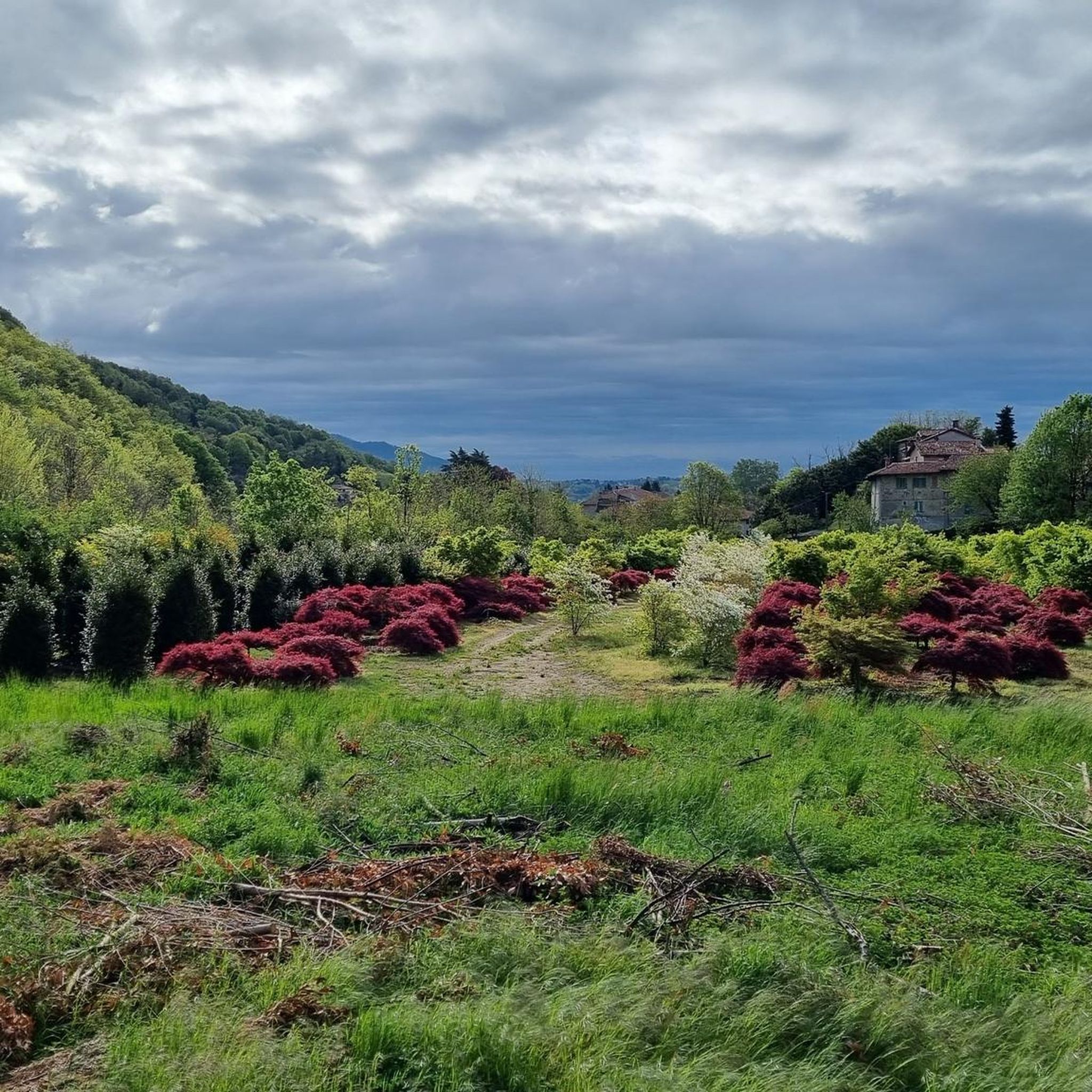
Montevecchia is a charming village suspended between Milan, Brianza and the Lecco Prealps. It stands at an altitude of almost 500 meters and overlooks the almost 3000 hectares of the Montevecchia and Curone Valley Regional Park, where the famous Pyramids, mysterious rock formations, emerge.
0
0
The Naviglio della Martesana, initially known as Naviglio Piccolo, is one of the Milanese canals that connects Milan with the course of the Adda river through the municipalities of Martesana. Commissioned in the 15th century by Francesco Sforza, it was used for irrigating the countryside but also represented the ambitious project of connecting Milan with Lake Como and thus with the Alps and Ticino. The Naviglio della Martesana is a place rich in history and beauty, a heritage for everyone that, however, today is still little known and protected. Along the Naviglio runs a rather busy cycle path, which allows you to admire the landscape and cultural beauties, such as the rich flora, fauna, or the numerous historic villas, including the Renaissance Villa Melzi d’Eril in Vaprio d’Adda.
1
0

A bridge to cross on a mountain bike! I tried on a racing bike, but better not!
0
0
Frequently Asked Questions
How many gravel bike trails are available around Santa Maria Hoè?
There are over 70 gravel bike trails in the Santa Maria Hoè region, offering a wide range of options for different skill levels and preferences. The komoot community has rated these routes highly, with an average score of 4.4 stars.
Are there any easy gravel bike routes suitable for beginners or families?
Yes, while many routes are moderate to difficult, there are options for easier rides. For a relatively shorter and scenic experience, consider the Oasis of Galbusera Bianca – Sirtori Village and Church loop from Missaglia. This 14.6-mile (23.5 km) trail leads through a natural oasis and historic villages, taking about 2 hours to complete.
What are some challenging gravel bike routes for experienced riders?
For a significant challenge, the Lake Segrino – Lake Segrino loop from Airuno offers a difficult 54.1-mile (87.0 km) path with extensive views and considerable elevation gain. Another demanding option is the View of Lake Garlate – Viewpoint (Onno) loop from Brivio, which is over 77 miles (124 km) long and features substantial climbs.
Are there any long-distance gravel routes in the area?
Absolutely. The Lambro Cycle Path – Lambro Riverside Trail loop from Oggiono is a popular long-distance option, covering 43.6 miles (70.2 km) and typically taking over 4 hours. It follows the Lambro river, offering a mix of riverside paths and open terrain.
Can I find circular gravel bike routes around Santa Maria Hoè?
Many of the gravel routes in the region are designed as loops, allowing you to start and end in the same location. Examples include the Oasis of Galbusera Bianca – Sirtori Village and Church loop from Missaglia and the Lake Segrino – Lake Segrino loop from Airuno, both offering distinct circular experiences.
What kind of scenery can I expect on gravel bike trails near Santa Maria Hoè?
The region is characterized by diverse landscapes, including rolling hills, serene river valleys, and scenic lake shores. You'll encounter a mix of natural areas, charming villages, and often enjoy panoramic viewpoints. Trails like the Lake Segrino – Lake Segrino loop from Airuno offer extensive lake views.
Are there any interesting landmarks or attractions along the gravel routes?
Yes, several routes pass by or near notable attractions. You might encounter historical sites like the Monte Barro Hermitage or the Hermitage of San Genesio. Natural features such as the Pertüs Pond also offer scenic stops.
What do other gravel bikers enjoy most about the trails in Santa Maria Hoè?
The area is highly rated by the komoot community, with an average score of 4.4 stars from over 170 reviews. Riders often praise the varied terrain, which includes riverside paths, open landscapes, and challenging ascents, as well as the beautiful natural surroundings and charming villages.
What is the best time of year for gravel biking in Santa Maria Hoè?
While gravel biking is possible year-round, spring and autumn generally offer the most pleasant conditions with milder temperatures and vibrant scenery. Summer can be warm, especially in open areas, while winter rides are feasible but may require appropriate gear for cooler weather.
Are there routes with good viewpoints or scenic spots?
Many routes offer excellent scenic opportunities. For instance, the View of Lake Garlate – Viewpoint (Onno) loop from Brivio explicitly highlights a viewpoint overlooking Lake Garlate. The region's rolling hills and lake shores naturally provide numerous picturesque spots.
Are there any gravel routes that pass by cafes or places to stop for refreshments?
While specific cafes are not listed for every route, many trails pass through or near charming villages where you can typically find local establishments for refreshments. Planning your route with komoot allows you to identify potential stops along the way.
What is the typical duration for a gravel bike ride in this region?
Ride durations vary significantly based on the route's length and difficulty, as well as your personal pace. Shorter routes like the Cascina Costa – Tetto Brianzolo Summit loop from Missaglia (16.5 miles / 26.6 km) can take around 2.5 hours, while longer, more challenging rides can extend to 4 hours or more.
Most popular routes around Santa Maria Hoè
Most popular attractions around Santa Maria Hoè

Get inspired with the komoot mobile app


Explore more
Browse the best Gravel rides in other regions.
