The best gravel rides around Taibon Agordino
4.8
(49)
441
riders
30
rides
Gravel biking around Taibon Agordino offers diverse terrain within the Dolomites UNESCO World Natural Heritage Site. The region is characterized by dramatic Dolomitic peaks, including Mount Agner and Pale di San Martino, and the deep, glacial Valle di San Lucano. A network of unpaved paths, historic mule tracks, and forest trails provides varied riding experiences. These routes often feature mountain streams, wide forests, and significant elevation changes, ideal for gravel cyclists.
Best gravel bike trails around Taibon Agordino
- The most…
Last updated: August 31, 2026
5.0
(2)
17
riders
29.4km
02:43
1,080m
1,080m
Hard gravel ride. Very good fitness required. You may need to push your bike for some segments of this route.
4.2
(6)
23
riders
28.3km
02:11
660m
660m
Hard gravel ride. Very good fitness required. Mostly paved surfaces. Suitable for all skill levels.

Sign up for free
5.0
(2)
29
riders
32.9km
02:39
980m
980m
Hard gravel ride. Very good fitness required. Mostly paved surfaces. Suitable for all skill levels.
4
riders
9.53km
00:56
390m
390m
Moderate gravel ride. Good fitness required. Mostly paved surfaces. Suitable for all skill levels.
5.0
(1)
17
riders
20.9km
01:35
560m
560m
Hard gravel ride. Very good fitness required. Mostly paved surfaces. Suitable for all skill levels.
Get access to more routes and recommendations from other explorers.
Sign up for free
Already have an account?
Our route recommendations are based on thousands of hikes, rides, and runs completed by other people on komoot.
Start today with a free account
Your next adventure awaits.
Login or Signup
Popular around Taibon Agordino
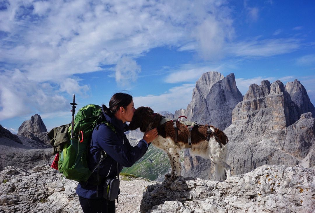
The extra-large Dolomites round – an out-of-this-world hiking adventure
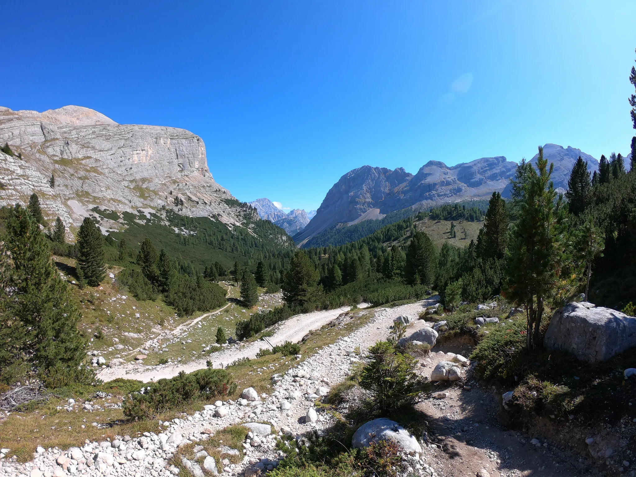
Run through the clouds – Alta Via 1 in the Dolomites
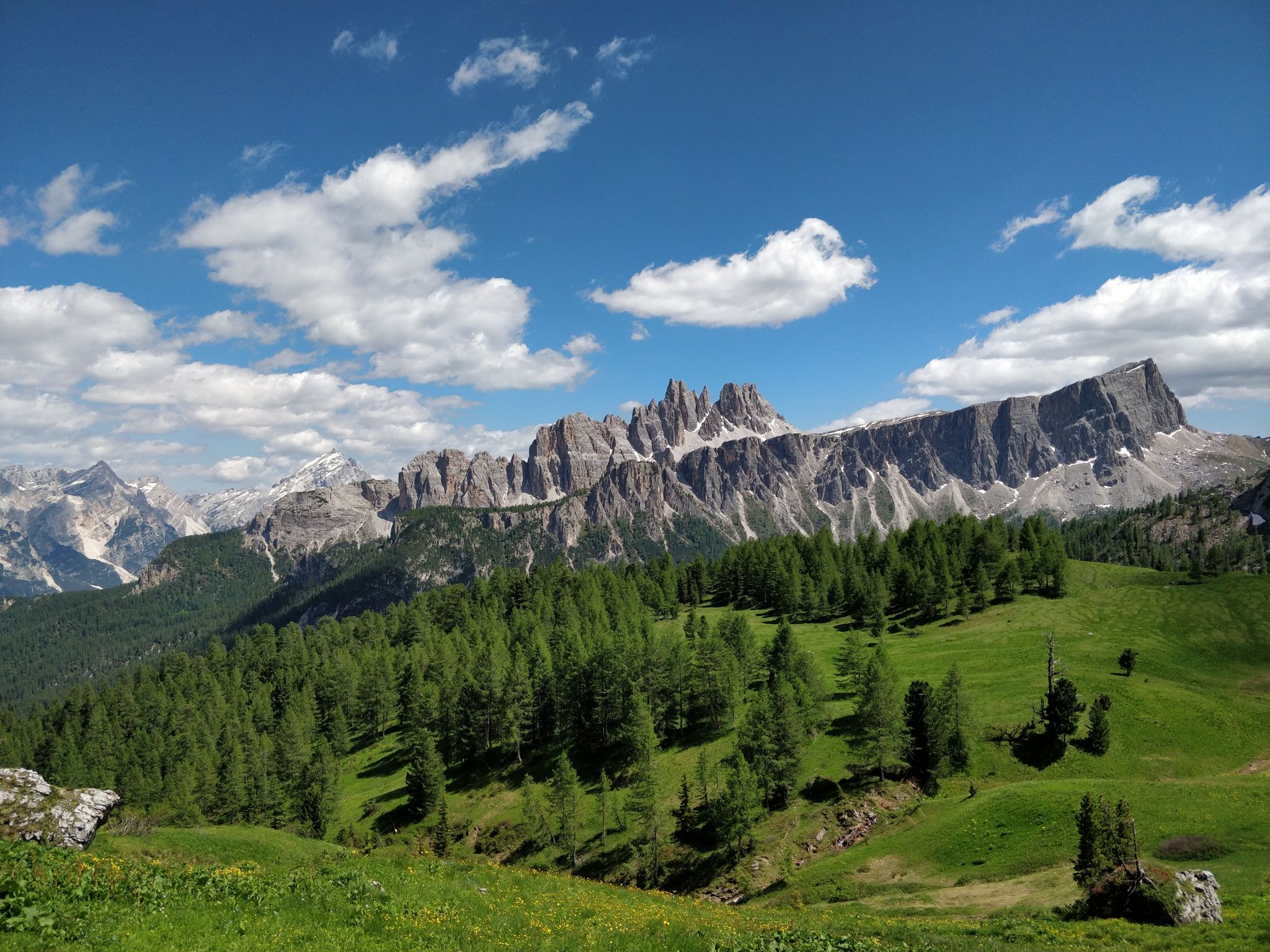
Hiking one step from heaven – Alta Via delle Dolomiti 1
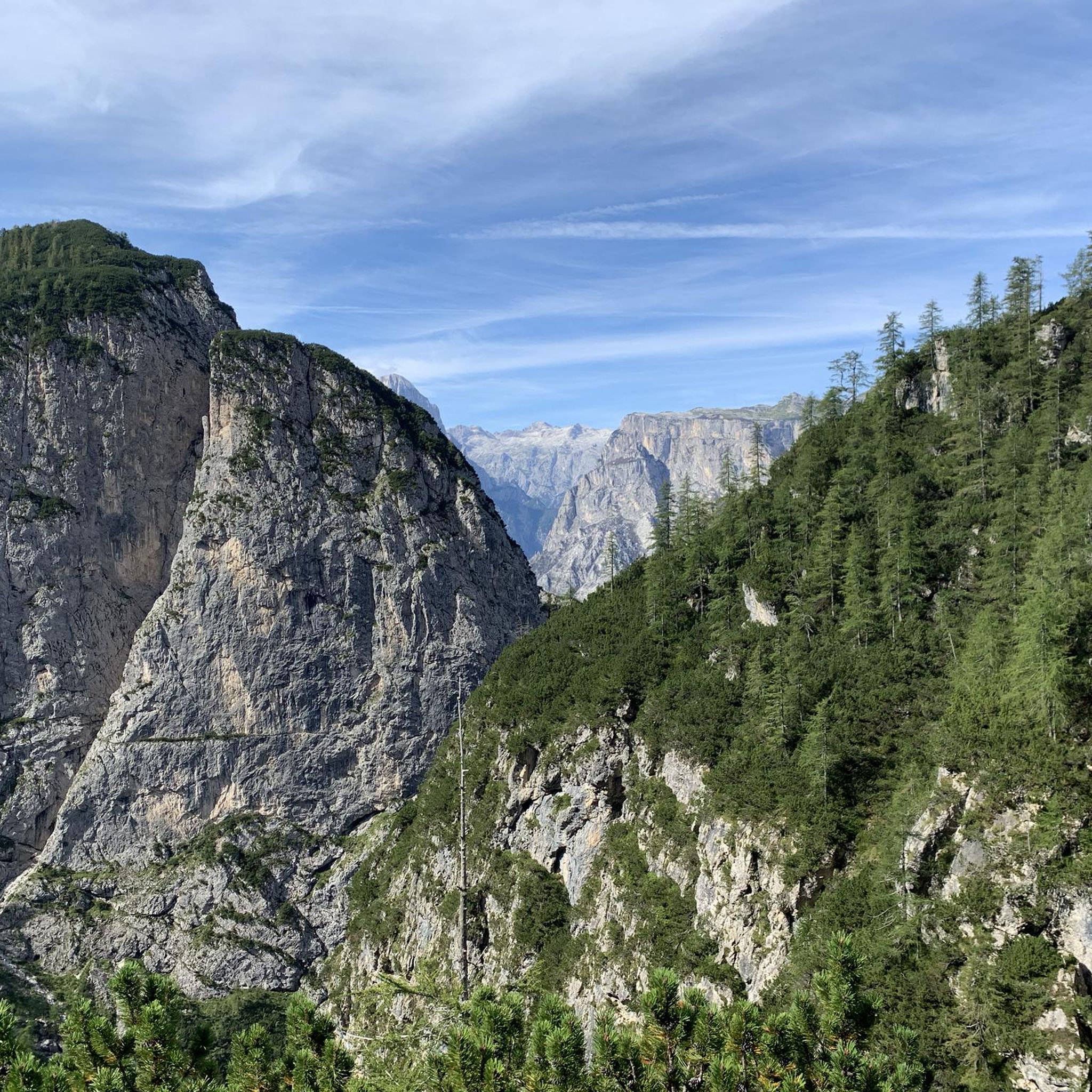
Hiking around Taibon Agordino
Road Cycling Routes around Taibon Agordino
Cycling around Taibon Agordino
MTB Trails around Taibon Agordino
Running Trails around Taibon Agordino

Mountain Hikes around Taibon Agordino
Other adventures around Taibon Agordino


Tips from the Community

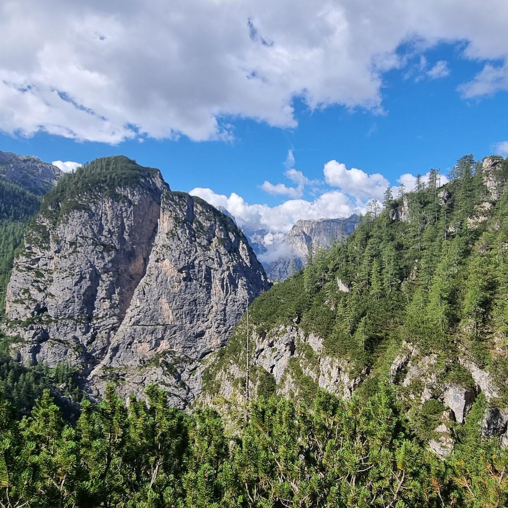
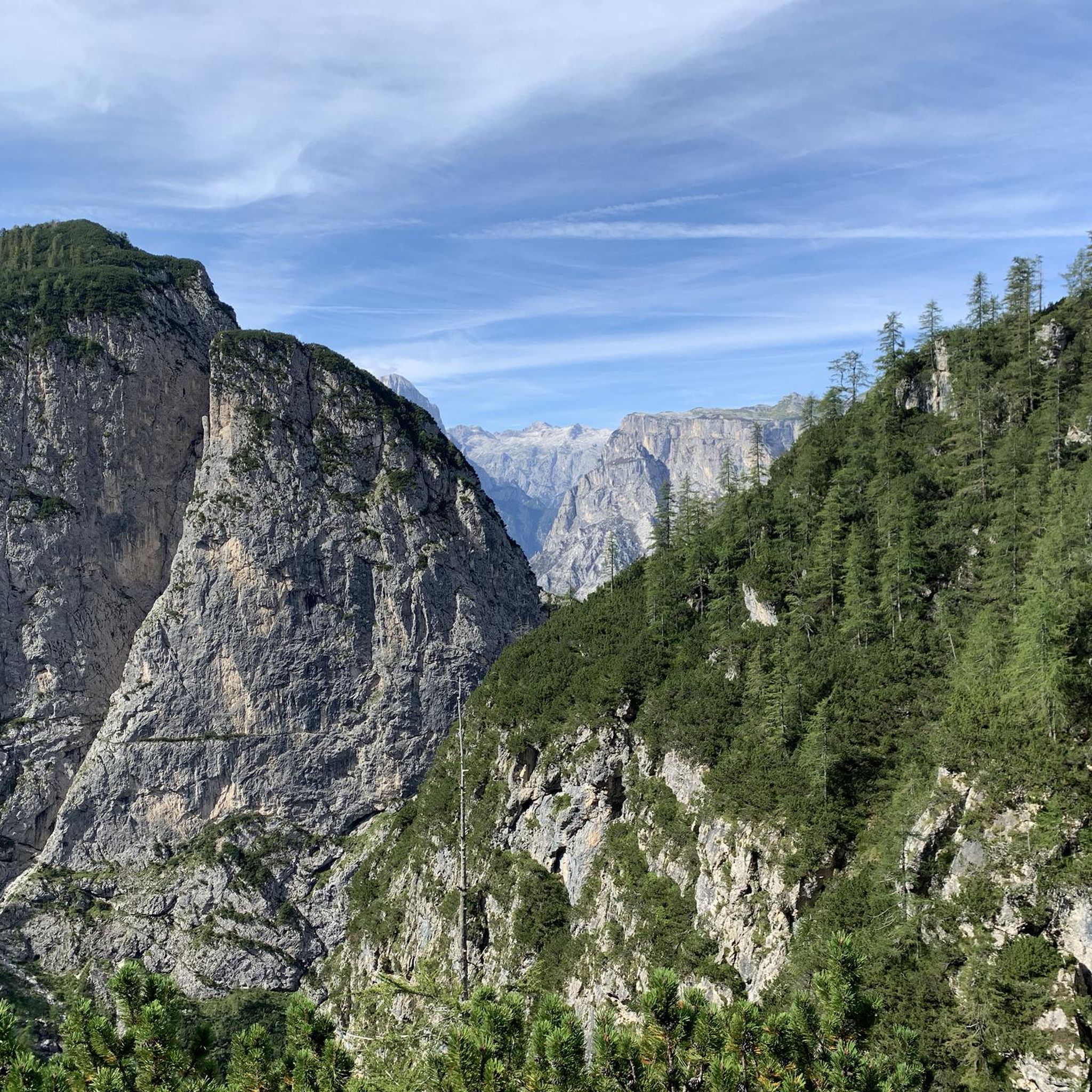
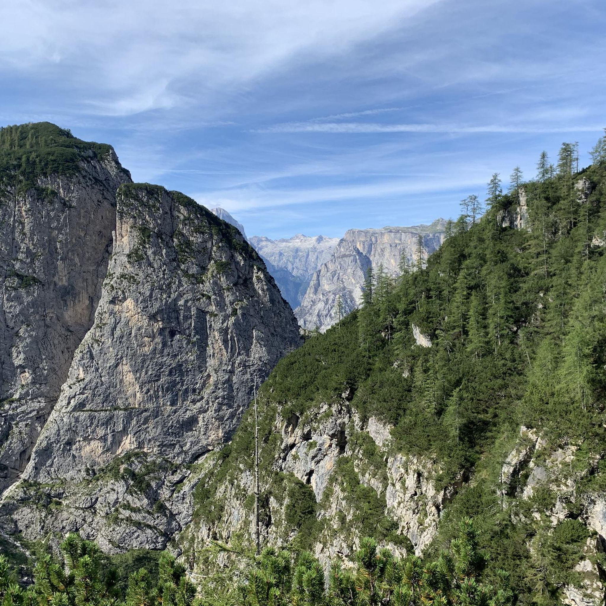
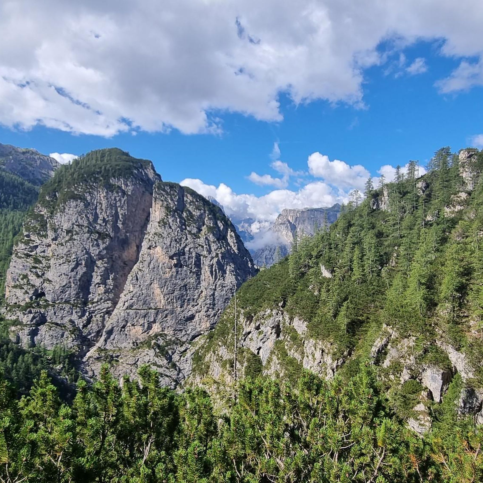
Beautiful panoramic view of the San Lucano Valley and the north face of Mount Agner!
0
0

Too bad there's not much snow. Wonderful in summer.
0
0

The Staulanza Pass (1,766 m above sea level) is a Dolomite mountain pass located between the slopes of Mount Crot (Civetta Group) and those of Pelmetto (Pelmo Massif). It belongs to the municipality of Val di Zoldo, near the borders with Selva di Cadore and Borca di Cadore. It is crossed by the SP 251 road, which connects the Val di Zoldo with the Val Fiorentina. The Staulanza refuge stands at the pass. The pass is a convenient starting point for hikes around Pelmo, Civetta, and Croda da Lago.
1
0

Great stop at the beginning/end of route or along Alta Via
0
0

The nerve center of the entire area, it's a shame that the facilities give it the air of an amusement park.
0
0
This is a popular spot due to the arrival point of a ski lift, which has partially damaged this hill. It offers excellent 360° views and is a strategic point for many pedestrian and cycling routes.
0
0
From Palafavera you can climb along this wide, good forest road with very steep slopes, there are some surprising installations, at the end of the climb you reach the crossroads for Malga Vescovà on the left or, on the right, for Malga Fontanafredda.
0
0
Frequently Asked Questions
How many gravel bike trails are available around Taibon Agordino?
There are over 30 gravel bike trails around Taibon Agordino, offering a variety of experiences within the Dolomites UNESCO World Natural Heritage Site. These routes range from moderate paths to challenging high-altitude rides.
Are there any gravel bike routes suitable for beginners or families?
While many routes in Taibon Agordino are rated as difficult, there are a few moderate options available. For example, the Monte Pelmo – Baldi Pass loop from Pecol is a moderate 9.5 km trail. When planning a family outing, consider the elevation gain and distance, as the terrain can be demanding.
What kind of natural attractions can I expect to see along the gravel trails?
The gravel trails in Taibon Agordino offer stunning natural beauty. You can explore the deep Valle di San Lucano, surrounded by towering peaks like Mount Agner and the Pale di San Martino. Keep an eye out for natural spectacles like the Inferno waterfall or the picturesque Livinal waterfall. Some routes also offer views of the Pale di San Martino plateau reflected in Peschiere Lake, such as the Laghetto delle Peschiere – Piazza della Libertà, Agordo loop from Dolomites.
Are there any circular gravel bike routes in the area?
Yes, many of the gravel bike routes around Taibon Agordino are designed as loops, allowing you to start and finish at the same point. Examples include the popular Lagazzon Hut – Forn de la Vila loop from Sachet and the Tabià – Val Biois Cycle Path loop from Marmolada.
When is the best time of year to go gravel biking in Taibon Agordino?
The best time for gravel biking in Taibon Agordino is typically from late spring to early autumn (May to October). During these months, the weather is generally more stable, and the trails are free of snow. Always check local weather conditions before heading out, especially for higher-altitude routes.
Can I bring my dog on the gravel bike trails?
While many trails in the Dolomites are dog-friendly, it's essential to check specific regulations for the protected areas and natural parks you plan to visit. Always keep your dog on a leash, especially in areas with wildlife or livestock, and ensure they are well-behaved and can handle the terrain and distance.
Where can I find parking for the gravel bike trails?
Specific parking information varies by trailhead. Many villages and starting points for trails, such as Sachet or near Agordo, offer public parking areas. It's advisable to check the starting point of your chosen route on komoot for detailed parking suggestions.
How can I reach Taibon Agordino by public transport with my bike?
Taibon Agordino is accessible by public transport, primarily buses connecting to larger towns in the Veneto region. Transporting bikes on buses can be restricted, especially during peak season or on smaller routes. It's recommended to check with the local bus operators in advance regarding their bike transport policies and availability.
Are there places to eat or stay near the gravel bike routes?
Yes, Taibon Agordino and the surrounding Agordino Valley offer various options for accommodation, cafes, and restaurants. You'll find mountain huts (rifugi) like the Adolfo Sonino Mountain Hut at Coldai or Città di Fiume Hut, which often provide food and lodging, especially on longer routes. Local villages also have eateries where you can refuel.
What do other gravel bikers say about the trails in Taibon Agordino?
The gravel biking routes in Taibon Agordino are highly rated by the komoot community, with an average score of 4.6 stars from over 30 reviews. Riders often praise the dramatic Dolomitic scenery, the challenging climbs, and the sense of immersion in nature offered by the deep valleys and forest trails.
Are there any routes that pass by lakes or water features?
Yes, some routes offer beautiful views of lakes and waterfalls. The Laghetto delle Peschiere – Piazza della Libertà, Agordo loop from Dolomites provides scenic views of the Pale di San Martino plateau reflected in Peschiere Lake. Additionally, the Valle di San Lucano features the impressive Inferno waterfall and the picturesque Livinal waterfall.
Are there any shorter gravel routes for a quick ride?
While many routes are longer, you can find shorter options or adapt existing ones. The Monte Pelmo – Baldi Pass loop from Pecol is a moderate 9.5 km trail that can be completed in under 2 hours, making it suitable for a quicker ride.
Most popular routes around Taibon Agordino
Most popular attractions around Taibon Agordino

Get inspired with the komoot mobile app


Explore more
Browse the best Gravel rides in other regions.
