The best gravel rides around Monte Urano
4.8
(11)
41
riders
8
rides
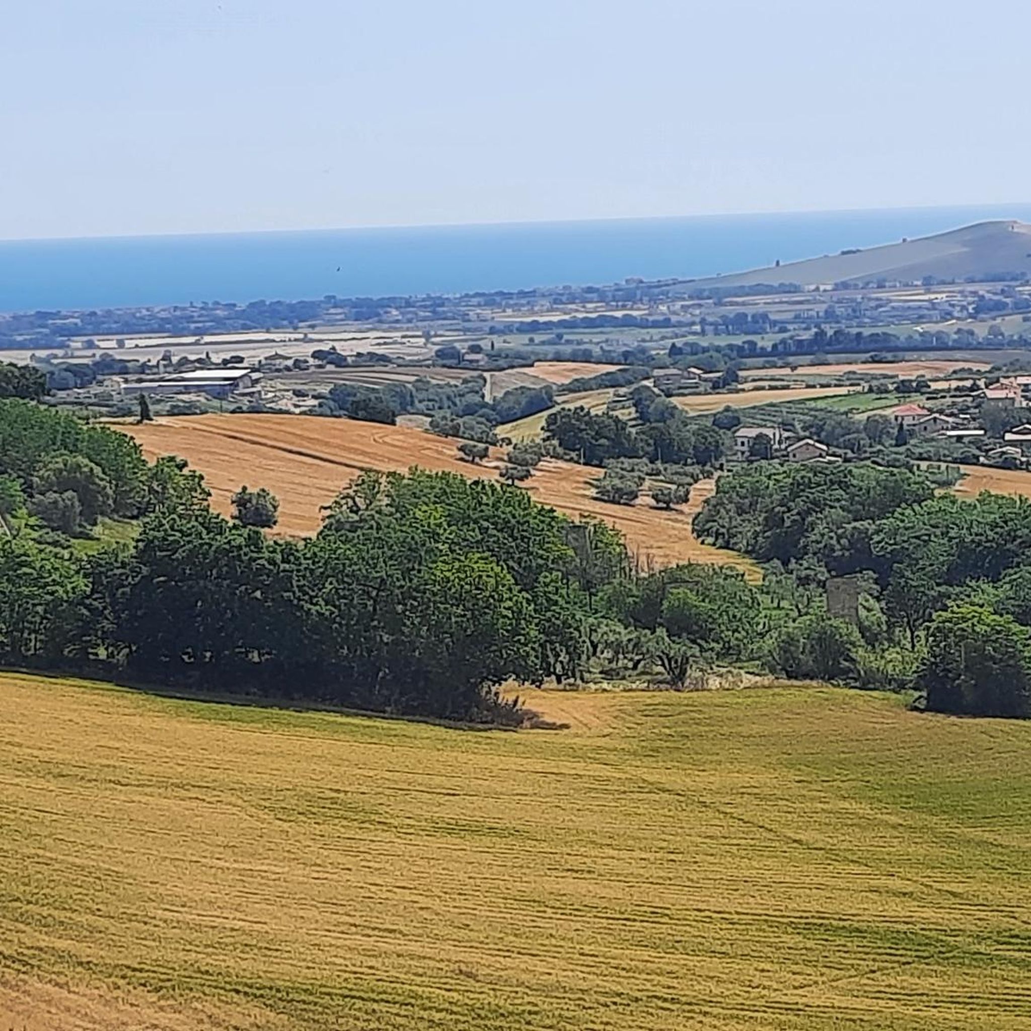
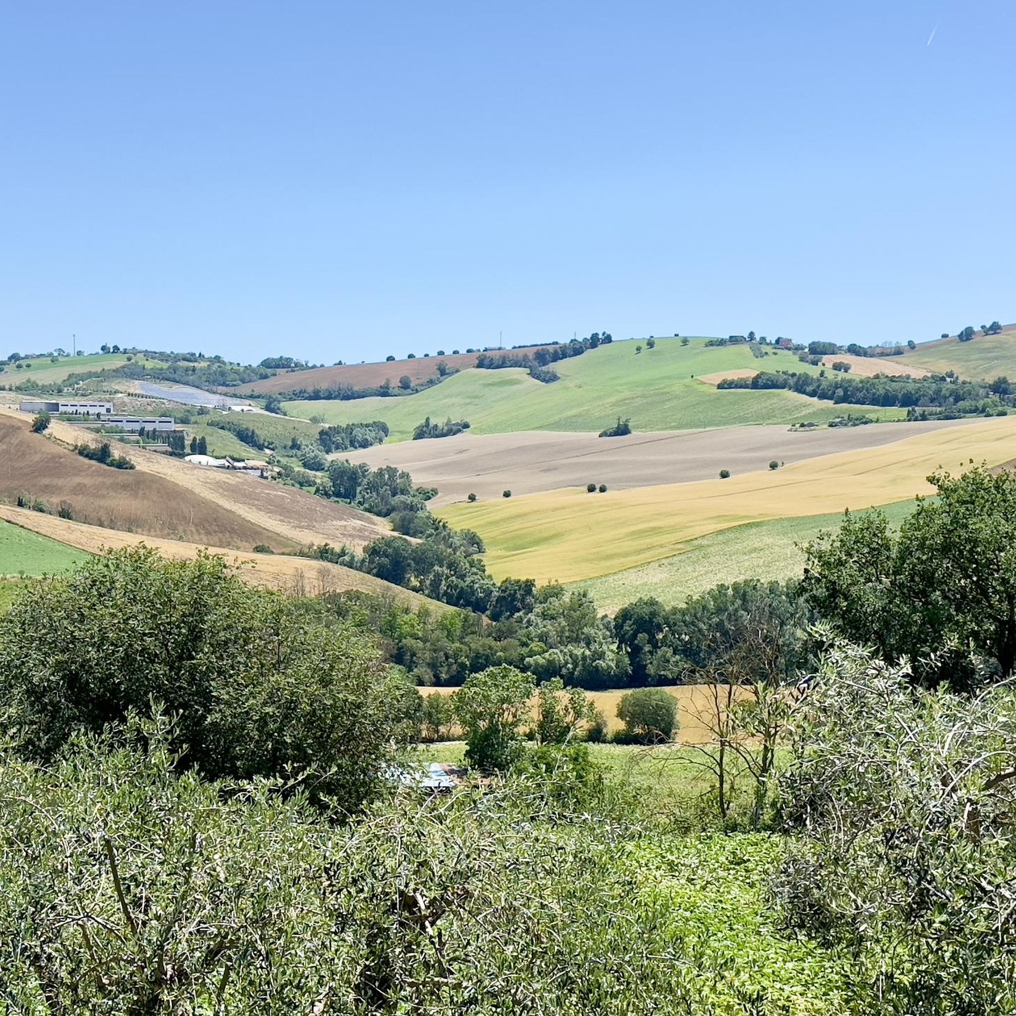
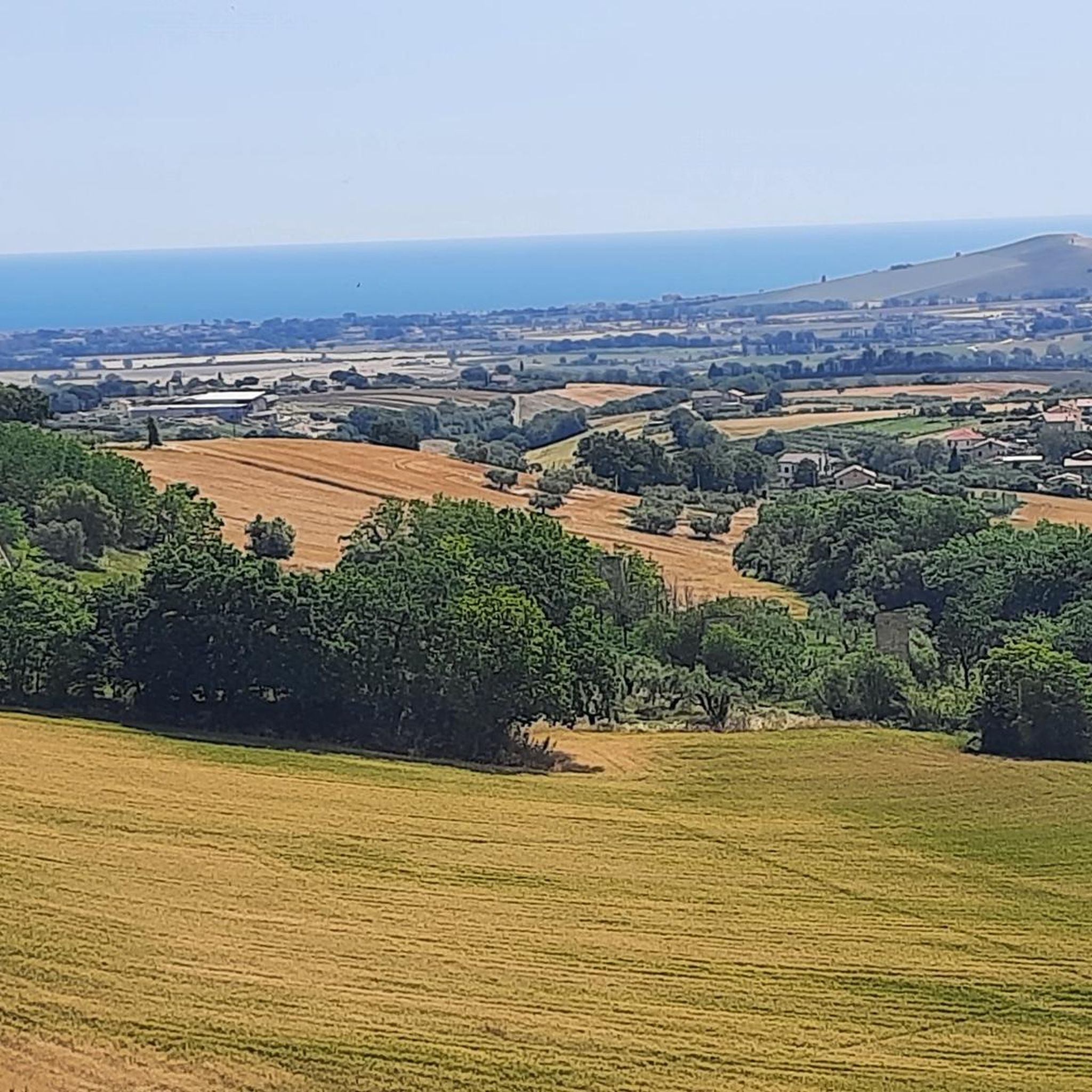
Gravel biking around Monte Urano offers diverse landscapes in the tranquil Marche region of Italy. The area features undulating hilly terrain, providing varied gradients and panoramic views stretching from the Adriatic Sea to the Sibillini Mountains. Riders can explore a mix of unpaved roads and country paths, passing through ancient villages and along riverine landscapes. This region presents a compelling destination for gravel cyclists seeking both challenging routes and scenic rides.
Best gravel bike trails around Monte Urano
- The most…
Last updated: July 4, 2026
4.6
(9)
20
riders
Hard gravel ride. Very good fitness required. Mostly paved surfaces. Suitable for all skill levels.
5.0
(2)
5
riders
79.3km
04:40
820m
820m
Hard gravel ride. Very good fitness required. You may need to push your bike for some segments of this route.

Sign up for free
2
riders
30.3km
01:56
520m
520m
Hard gravel ride. Very good fitness required. Mostly paved surfaces. Suitable for all skill levels.
3
riders
57.4km
03:38
810m
810m
Hard gravel ride. Very good fitness required. Mostly paved surfaces. Suitable for all skill levels.
2
riders
12.2km
00:45
170m
170m
Moderate gravel ride. Good fitness required. Mostly paved surfaces. Suitable for all skill levels.
Get access to more routes and recommendations from other explorers.
Sign up for free
Already have an account?
Our route recommendations are based on thousands of hikes, rides, and runs completed by other people on komoot.
Start today with a free account
Your next adventure awaits.
Login or Signup
Tips from the Community

nice and out of the way
0
0

The Basilica of the Santissima Annunziata, or Basilica of Santa Maria a Piè di Chienti, is a parish church located in the municipality of Montecosaro, in the hamlet of Montecosaro Scalo, in the province of Macerata. It represents one of the masterpieces of Romanesque architecture in the Marche region, and owes its name to the Chienti River that flows nearby.
0
0

The climb is challenging in some sections, but the views it offers make it worthwhile. It's definitely best to do it after a good rain; today, the dust kicked up by a light breeze made it very difficult to breathe.
0
0

Nice cycle/pedestrian bridge, but you have to pay attention to pedestrians who often walk on the bike lane.
0
0
Beautiful coastal stretch with cycle path
1
0


Excellent cycle paths to ride with modern bridge connections
0
0
Beautiful village to visit with a very important history and interesting cellars nearby. Beautiful view from the tower. IG: https://www.instagram.com/gravel_marche/
1
0
Frequently Asked Questions
How many gravel bike trails are available around Monte Urano?
There are several gravel bike trails around Monte Urano, with komoot featuring 4 distinct routes. These routes offer a mix of moderate and difficult options, catering to various skill levels.
What kind of terrain can I expect on gravel bike trails near Monte Urano?
The terrain around Monte Urano is characterized by diverse landscapes, including rolling Marche hills, extensive "strade bianche" (unpaved country roads), cultivated hills, and picturesque river valleys like the Tenna and Potenza. You'll encounter varied gradients, from gentle slopes to demanding climbs, with panoramic views stretching from the Adriatic Sea to the Sibillini Mountains.
Are there any challenging gravel bike routes in the Monte Urano area?
Yes, Monte Urano offers several challenging gravel routes. For instance, the Potenza River – Potenza Cycle Path loop from Trodica is a difficult 49.0-mile (78.9 km) trail with significant elevation gain, leading through riverine landscapes. Another demanding option is the Abbey of San Firmano – Montelupone loop from Montecosaro, covering 47.9 miles (77.1 km) with nearly 1000 meters of ascent.
Are there any moderate gravel bike routes suitable for intermediate riders?
For intermediate riders, the Gravel loop from Molini di Tenna offers a moderate 7.6-mile (12.2 km) ride. This route provides a good balance of challenge and scenic beauty without the extreme demands of the more difficult trails.
What are some scenic viewpoints or natural features to look out for on the trails?
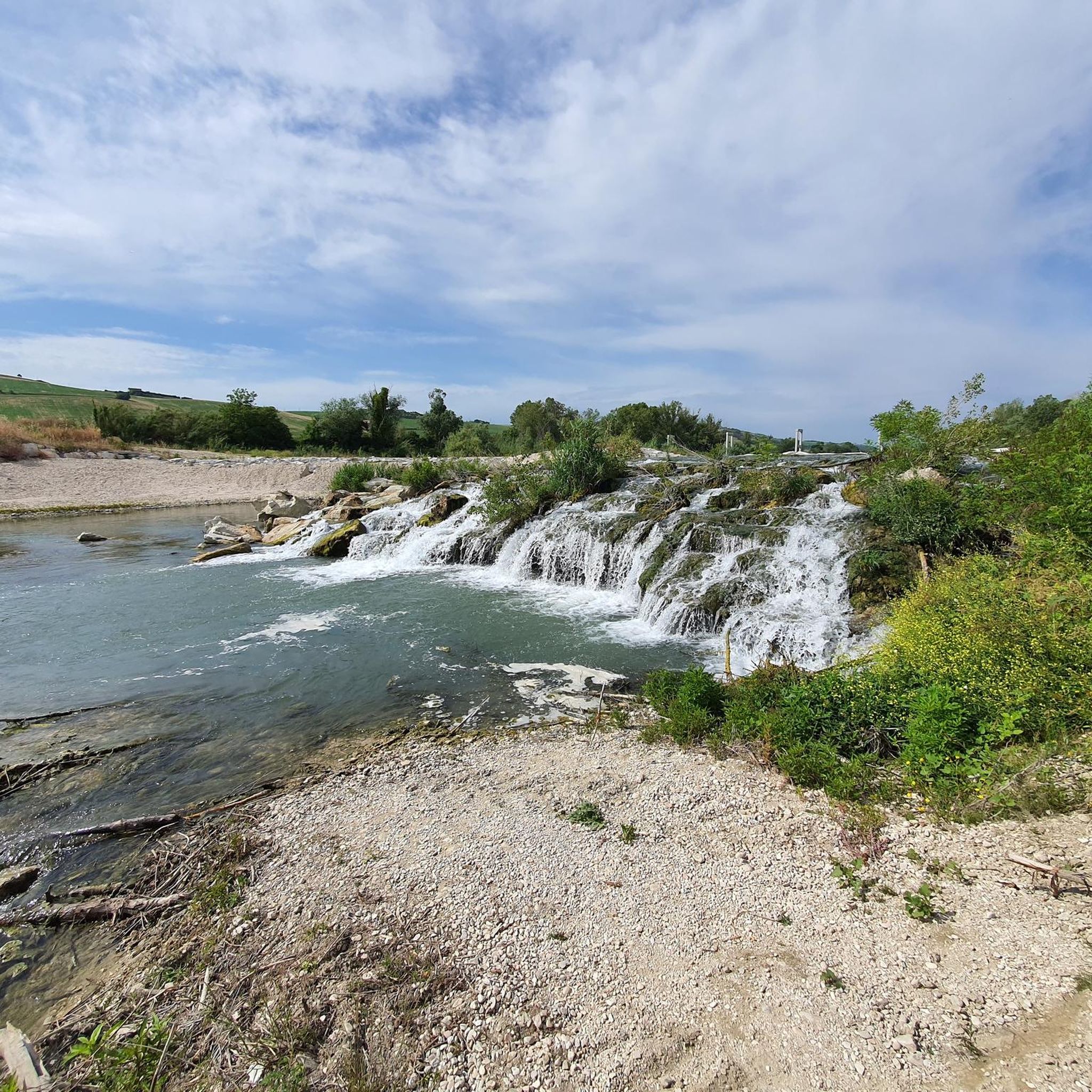
The region boasts breathtaking panoramic vistas. Many routes offer views of the Adriatic Sea to the east and the majestic Sibillini Mountains to the west. You'll also cycle through the serene Tenna and Potenza river valleys, past olive groves, and lush vineyards. The Singletrack Along the Tenna River is a notable natural feature for cyclists.
What historical sites or landmarks can I explore along the gravel routes?
Monte Urano and its surroundings are rich in history. You can encounter characteristic medieval towns and villages. A significant cultural stop is Piazza del Popolo, Fermo, a beautiful fifteenth-century square. The Ete River Pedestrian and Cycle Bridge is also a practical and scenic element connecting different areas.
Are there any coastal cycling options near Monte Urano?
While Monte Urano is inland, the coastal areas are accessible. The Porto Sant'Elpidio seafront offers dedicated coastal paths, separated from traffic, complete with services like restaurants and green areas. The View of Civitanova Alta – Contrada Asola loop from Montecosaro also provides views towards the coast.
What do other gravel bikers say about the trails in Monte Urano?
The gravel biking experience around Monte Urano is highly rated by the komoot community, with an average score of 5.0 stars from 2 reviews. Cyclists often praise the diverse terrain, the blend of unpaved roads and country paths, and the opportunity to explore ancient villages and riverine landscapes.
Is Monte Urano suitable for long-distance gravel biking?
Yes, Monte Urano offers options for longer rides. The Potenza River – Potenza Cycle Path loop from Trodica is a substantial 49.0-mile (78.9 km) route, and the Potenza Cycle Path – Potenza River loop from Morrovalle-Monte San Giusto covers 35.6 miles (57.3 km), both providing extensive exploration of the region's landscapes.
What is the best time of year to go gravel biking in Monte Urano?
The Marche region, including Monte Urano, generally offers pleasant conditions for cycling during spring and autumn, when temperatures are milder and the landscapes are vibrant. Summer can be warm, but early mornings or late afternoons are still enjoyable. Winter riding is possible, but conditions on unpaved roads may vary.
Are there any specific cycle paths or dedicated gravel routes?
Beyond the extensive network of "strade bianche," you'll find dedicated cycle paths like the Ponzano di Fermo Gravel Cycling Route, which offers a specific gravel experience. The Tenna and Potenza river valleys also feature paths suitable for gravel bikes, providing varied riding experiences.
Most popular routes around Monte Urano
Most popular attractions around Monte Urano

Get inspired with the komoot mobile app


Explore more
Browse the best Gravel rides in other regions.
