The best gravel rides around Valtournenche
4.8
(19)
136
riders
7
rides
Gravel biking around Valtournenche offers diverse terrain in the Aosta Valley, set against the backdrop of the Matterhorn. The region features unpaved roads winding through alpine meadows, dense forests, and high-altitude areas. Riders can expect challenging climbs and scenic routes that traverse valleys and lead to various natural features. This landscape provides a varied experience for gravel bikers seeking mountain environments.
Best gravel bike trails around Valtournenche
- The most popular gravel bike trail is Zerbion Cycle Path, a 30.1…
Last updated: October 9, 2026
5.0
(1)
4
riders
48.5km
04:35
1,120m
2,160m
Hard gravel ride. Very good fitness required. You may need to push your bike for some segments of this route.
4.9
(8)
54
riders
54.8km
05:05
1,770m
1,770m
Hard gravel ride. Very good fitness required. Mostly paved surfaces. Suitable for all skill levels.

4.5
(4)
33
riders
26.8km
02:17
730m
730m
Hard gravel ride. Very good fitness required. Mostly paved surfaces. Suitable for all skill levels.
3
riders
18.9km
02:30
1,020m
1,020m
Hard gravel ride. Very good fitness required. Mostly paved surfaces. Suitable for all skill levels.
8
riders
19.0km
01:30
570m
570m
Hard gravel ride. Very good fitness required. Mostly paved surfaces. Suitable for all skill levels.
Get access to more routes and recommendations from other explorers.
Already have an account?
Our route recommendations are based on thousands of hikes, rides, and runs completed by other people on komoot.
Start today with a free account
Your next adventure awaits.
Popular around Valtournenche

Alta Via n. 1 of the Aosta Valley — a walk among Italian giants
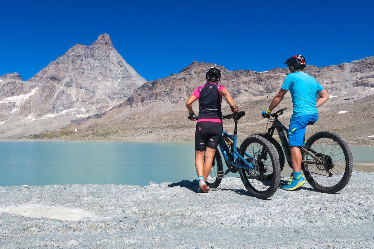
The Aosta Valley by MTB – between valleys and majestic peaks
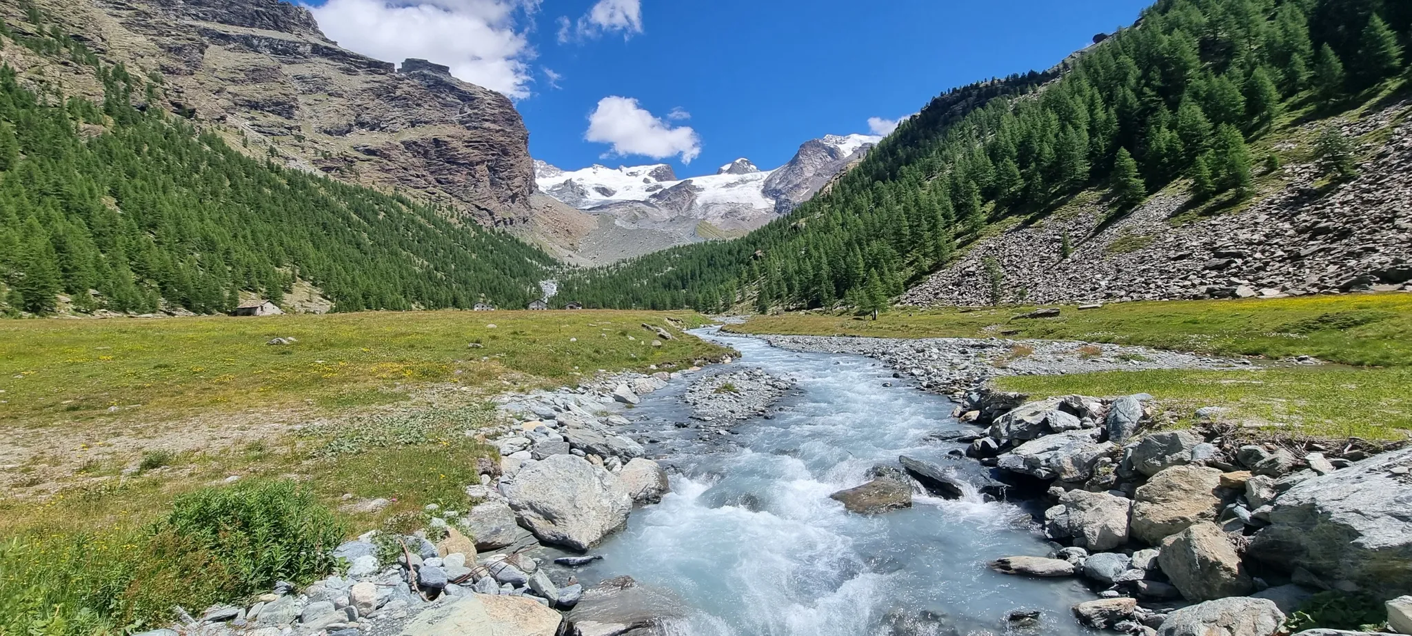
Majestic peaks and wild nature – Champoluc to Cervinia loop
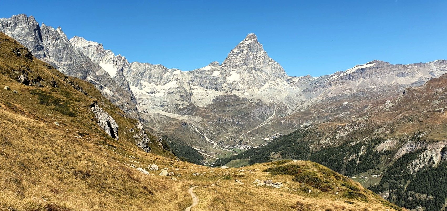
Running with the King – Great Balcony of the Matterhorn
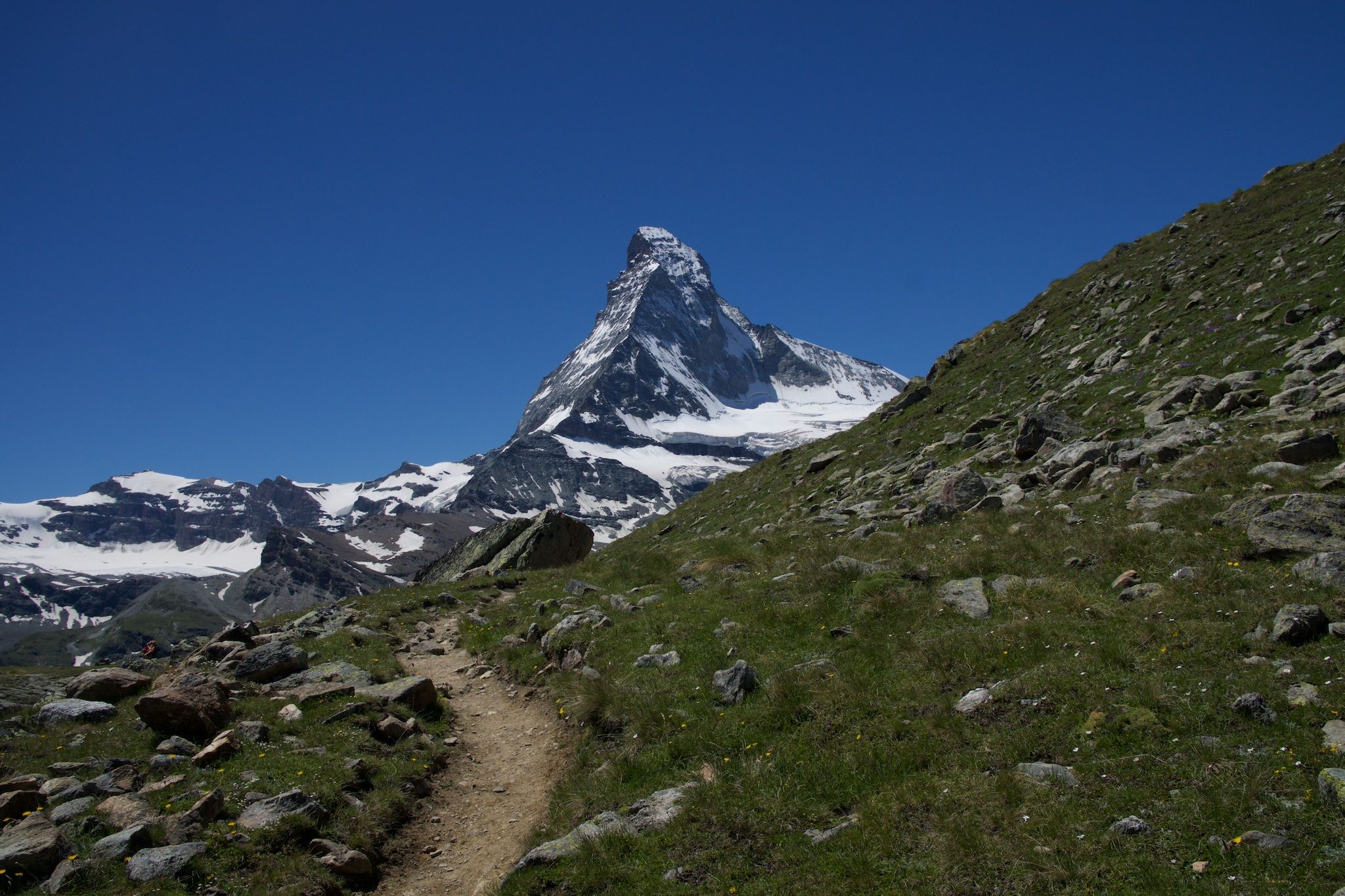
On the noble rock of the Alps – Cervino Matterhorn Ultra Race
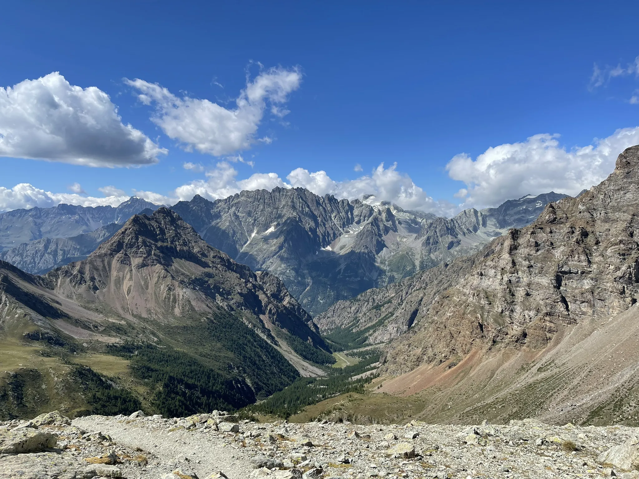
Running between the giants of the Alps – Tor des Géants
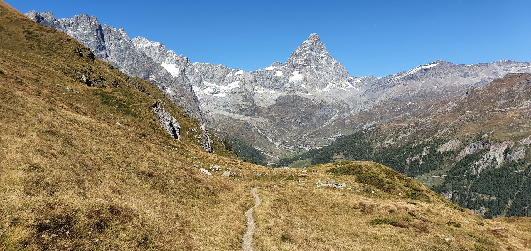
A breath away from the king — Grand Balcony of the Matterhorn

A walk among Italian giants — Aosta Valley High Route 1
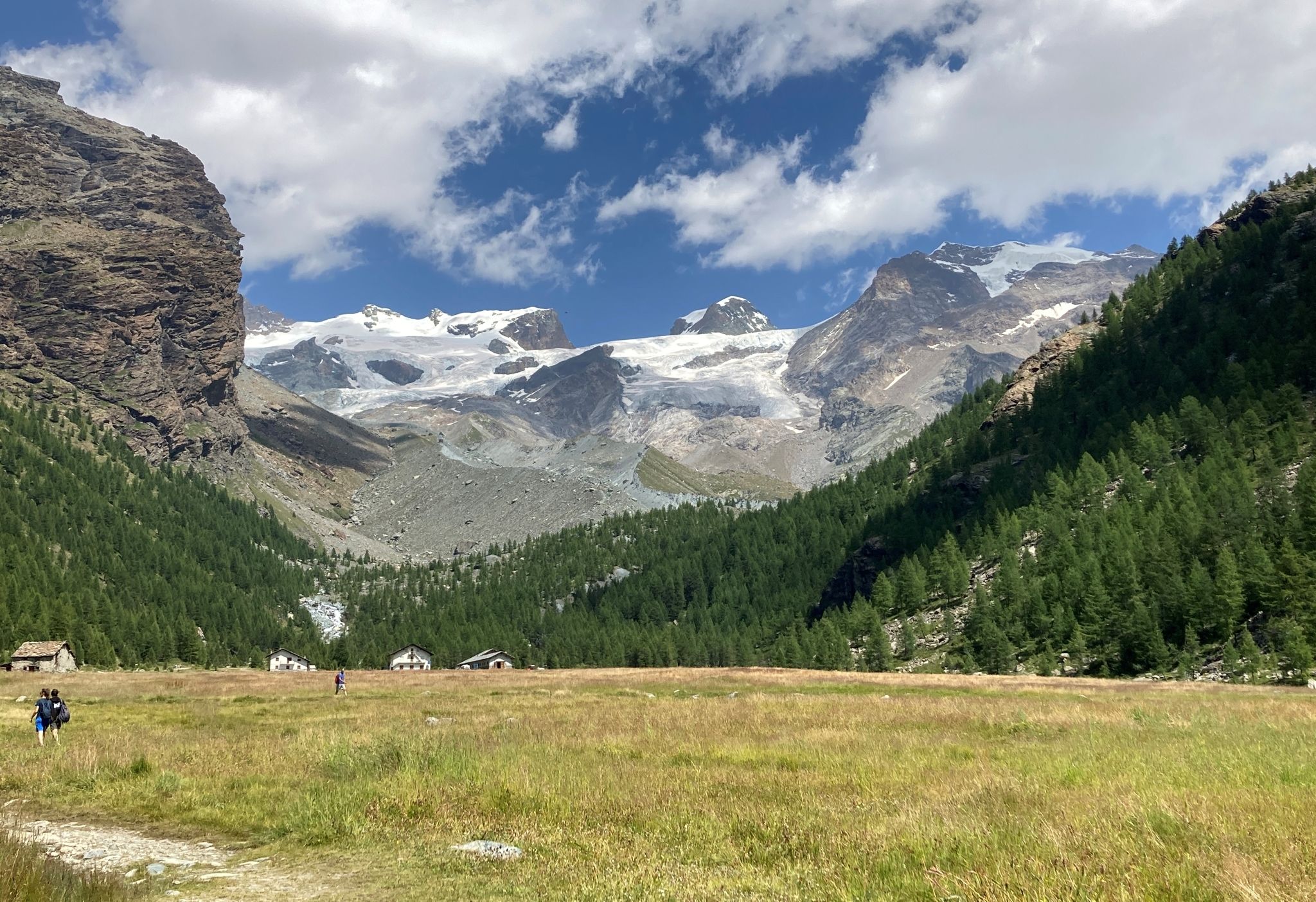
Tour of Monte Rosa – a trek among the Giants between Italy and Switzerland
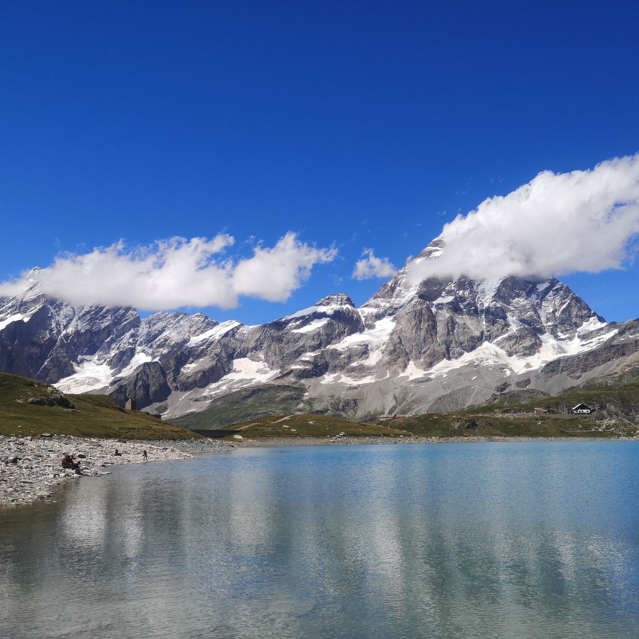
Hiking around Valtournenche


Tips from the Community

High mountain lake with a dam for electricity production. Beautiful is the view of the Matterhorn, not far away
0
0

The Lo Ditor pond is located at an altitude of 1,900 meters. It is a flat wetland area formed by the Petit Monde stream and surrounded by larch woods. The area is classified as a Special Conservation Area due to the rarity of its habitats, including limestone springs that promote the growth of rare plants. Furthermore, this ecosystem ensures the ideal microclimate for the common frog, which chooses these shallow waters for egg-laying during the thaw.
0
0

The Zerbion Cycle Route is a roughly 48 km route offering spectacular views of the mid-Aosta Valley, through woods, meadows, and small Alpine villages. It follows forest trails and paths.
2
0

I don't know about eMTBs, but I don't think anyone climbs here with muscle power. Up to the valley station of the Fornet Lift, you can actually ride the entire ascent from the Aosta Valley with a lot of effort. From here, however, pushing is required up to the Theodul Pass or Testa Grigia - it's simply too steep to ride.
0
0

It is located inside a beautiful and long path in the woods
0
0

Beautiful. You can't reach the chapel by bike. You have to leave it on the path and walk there, as it's in a private area with no access allowed.
0
0

Beautiful view of Punta Tzan and the Lo Ditor pond
0
0

A place battered by snowcats. But up here, the scenery is impressive.
0
0
Frequently Asked Questions
How many gravel bike trails are available in Valtournenche?
Valtournenche offers a good selection of gravel biking routes, with over a dozen trails available. These routes traverse diverse terrain, from alpine meadows to dense forests, all set against the stunning backdrop of the Matterhorn.
What kind of terrain can I expect on gravel bike trails in Valtournenche?
Gravel biking in Valtournenche features a mix of unpaved roads, forest paths, and alpine tracks. You'll encounter challenging climbs and scenic descents through woods, pastures, and high-altitude areas, providing a varied experience for all skill levels, though many routes are rated as difficult.
Are there any easy gravel bike trails for beginners or families in Valtournenche?
While many of the routes in Valtournenche are rated as difficult, the region's diverse network means there are options for varying abilities. For a less strenuous experience, consider exploring sections of the valley roads or consulting komoot for routes specifically tagged as moderate or easy, keeping in mind that 'easy' in a mountain environment can still involve some climbing.
What are some notable landmarks or viewpoints I can see while gravel biking in Valtournenche?
Many gravel routes offer breathtaking views of the Matterhorn and the surrounding valley. You might pass by stunning high-altitude lakes like Lago di Lod or Blue Lake. The Gravel Balcony Road – Matterhorn view in Gilliarey loop is specifically known for its panoramic vistas.
What do other gravel bikers enjoy most about gravel biking in Valtournenche?
The area is highly rated by the komoot community, with an average score of 4.6 stars from over 10 reviews. Reviewers often praise the wild landscapes, the silence and sense of freedom on the unpaved roads, and the unparalleled views of the Matterhorn and alpine scenery.
Are there any circular gravel bike routes in Valtournenche?
Yes, several routes in Valtournenche are designed as loops. For example, the Former Cervino Railway – Goillet Lake loop from Breuil-Cervinia offers a circular journey through historic paths and past Goillet Lake. Another option is the Lago Ciarcerio – Alpe Mandria Base Camp loop from Champoluc.
What is the best time of year for gravel biking in Valtournenche?
The summer months are generally ideal for gravel biking in Valtournenche, when the alpine trails are clear of snow and the weather is most favorable. However, always check local conditions and forecasts, especially for high-altitude routes, as mountain weather can change rapidly.
Are there opportunities to see nearby attractions or natural features along the gravel routes?
Absolutely. Many routes offer access to stunning natural features. You might pass by the dramatic Place Moulin Dam or have views of the Gouffre des Busserailles, a deep ravine carved by the Marmore River. The region is also dotted with charming alpine villages and high-altitude lakes.
Can I find places to eat or stay near the gravel biking trails in Valtournenche?
Valtournenche and its surrounding hamlets offer various options for accommodation and dining. You'll find traditional chalets, hotels, and restaurants. Some routes may pass near mountain huts like the Duca degli Abruzzi Refuge at Oriondé or farm stays like La Tchavana in Metsan, perfect for a break or an overnight stay.
Are there any specific routes that offer a unique historical or cultural experience?
The Former Cervino Railway – Goillet Lake loop from Breuil-Cervinia takes you along historic railway paths, offering a glimpse into the region's past while enjoying the scenic beauty. Exploring the traditional alpine villages like Chamois or Cheneil also provides a rich cultural experience.
How challenging are the gravel bike trails in Valtournenche?
Most of the gravel bike trails in Valtournenche are rated as difficult, featuring significant elevation changes and technical sections. Riders should be prepared for challenging climbs and descents on unpaved surfaces. However, the rewards are incredible views and an immersive mountain biking experience.
Where can I find parking or public transport options for accessing gravel bike trails in Valtournenche?
Valtournenche and nearby towns like Antey-Saint-André and Breuil-Cervinia offer parking facilities, often near trailheads. Public transport, such as local buses, connects some of the villages in the valley, which can be useful for accessing different starting points or for shuttle options. Always check local transport schedules and parking availability before your ride.
Most popular routes around Valtournenche
Most popular attractions around Valtournenche

Get inspired with the komoot mobile app


Explore more
Browse the best Gravel rides in other regions.
