The best gravel rides around Pré-Saint-Didier
4.1
(19)
177
riders
11
rides
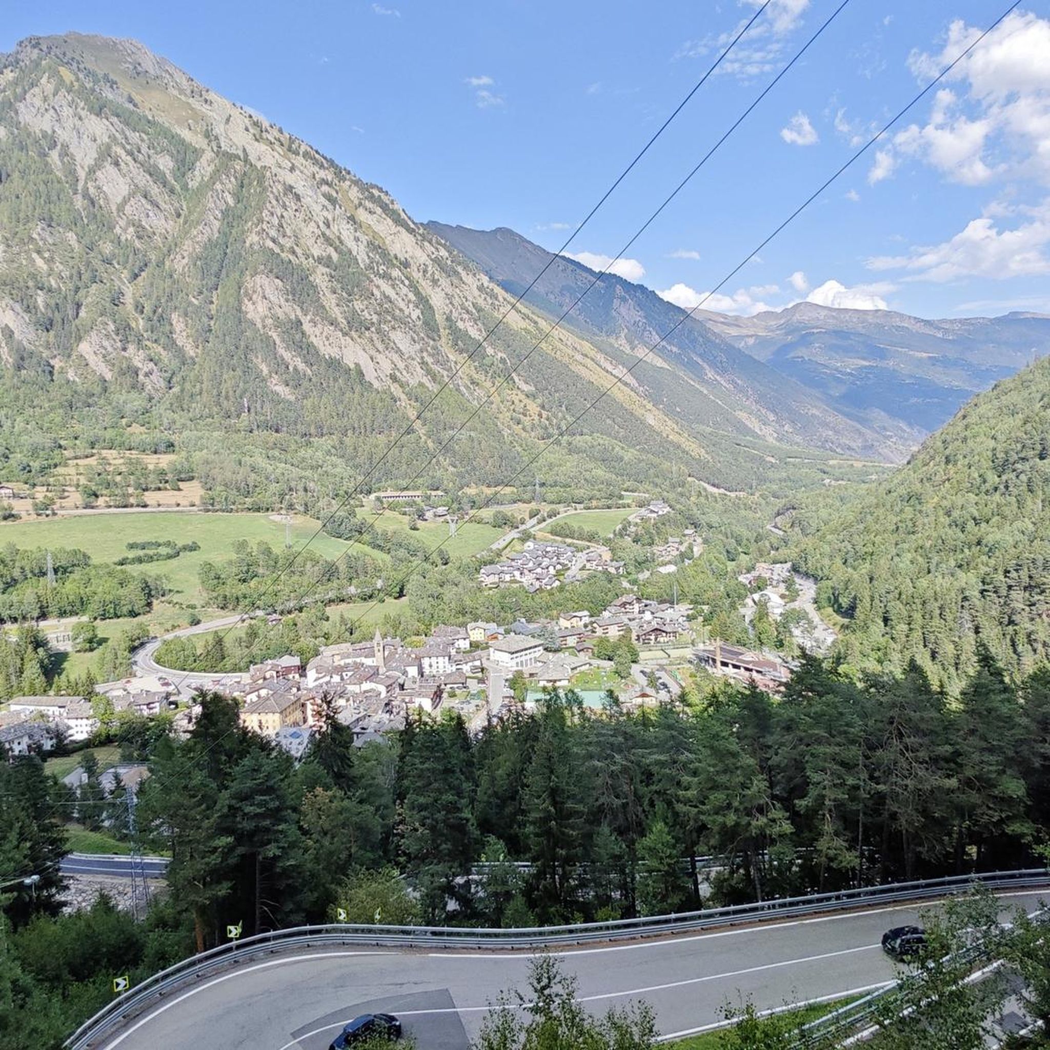
Gravel biking around Pré-Saint-Didier offers routes through the Aosta Valley, characterized by its mountainous terrain and views of the Mont Blanc massif. The region features a mix of valleys, hills, and the Dora Baltea river, providing varied landscapes for cycling. Trails often traverse areas with natural features such as gorges and thermal springs. The elevation in the area, around 1,000 meters, contributes to diverse riding conditions.
Best gravel bike trails around Pré-Saint-Didier
- The most popular gravel bike trail is Lower…
Last updated: October 21, 2026
4.7
(3)
33
riders
15.9km
01:25
510m
510m
Hard gravel ride. Very good fitness required. Mostly paved surfaces. Suitable for all skill levels.
5.0
(4)
17
riders
18.1km
01:28
490m
490m
Hard gravel ride. Very good fitness required. Mostly paved surfaces. Suitable for all skill levels.

4.0
(3)
30
riders
41.2km
03:19
1,130m
1,130m
Hard gravel ride. Very good fitness required. Mostly paved surfaces. Suitable for all skill levels.
15
riders
33.0km
03:21
1,140m
1,140m
Hard gravel ride. Very good fitness required. Mostly paved surfaces. Suitable for all skill levels.
5.0
(2)
17
riders
Hard gravel ride. Very good fitness required. Mostly paved surfaces. Suitable for all skill levels.
Get access to more routes and recommendations from other explorers.
Already have an account?
Our route recommendations are based on thousands of hikes, rides, and runs completed by other people on komoot.
Start today with a free account
Your next adventure awaits.
Tips from the Community

Beautiful, quiet and very panoramic path on the Grivola
0
0

Châtelard Castle consists of a medieval tower isolated on a rocky spur, with an open view of the Valdigne.
0
0

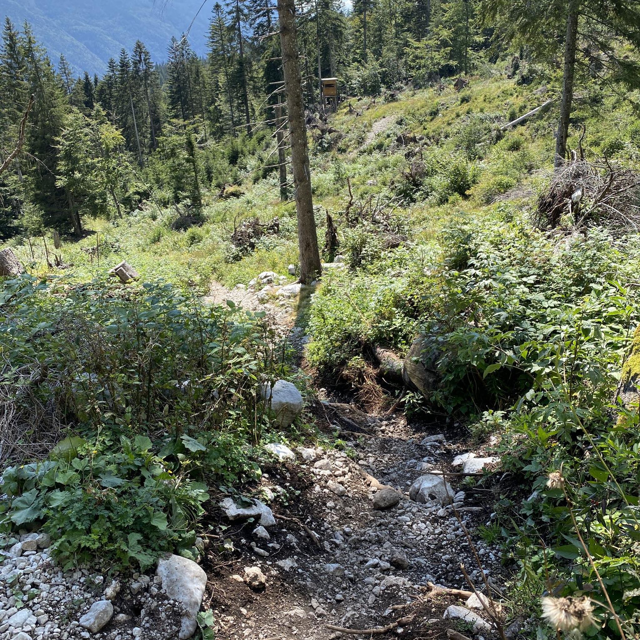
I took my mountain bike up from Verrand (a hamlet above Courmayeur), descended to Dolonne, and then ascended from Dolonne along the ski slope to Plan Checrouit, WITHOUT taking the cable cars. The climb is challenging and not easy. I used a turbo on some of the steeper sections. The surface is very uneven, making the descent to Dolonne along the same road more difficult. I preferred to continue up the ski slopes until I reached the Zerotta cable car station, then descended towards Val Veny. Be careful, as the GPS navigation systems provide routes towards Val Veny that are unfeasible due to large fallen trees in the path.
0
0

It is located on the road towards the Elisabetta Refuge
0
0

https://youtu.be/mZBwtho5OI4 Flat plain that bypasses the Alpine Road via a dirt road
0
0

Very easy and short hike to this point from the parking lot. Little less than an hour at an easy pace. I always love to dive in the little cold lake, unforgettable experience
0
0

Great noise scenery on the bridge
0
0

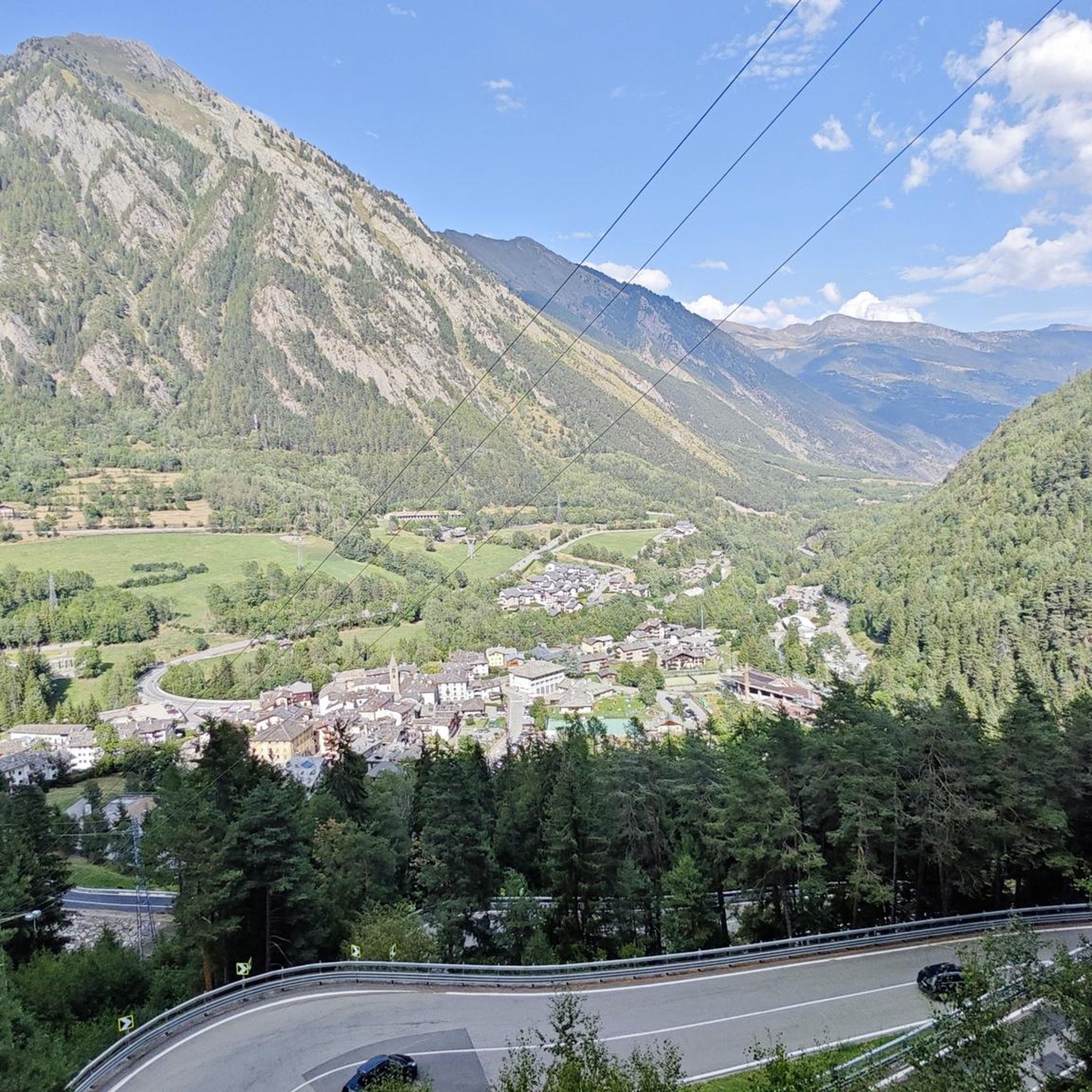
Small town crossed by the SS26 renowned for its thermal springs
3
0
Frequently Asked Questions
What kind of terrain can I expect on gravel bike trails around Pré-Saint-Didier?
Gravel biking around Pré-Saint-Didier offers a diverse mix of terrain. You'll find routes traversing valleys, hills, and areas along the Dora Baltea river. The region is characterized by its mountainous landscape, with views of the Mont Blanc massif, and features like gorges and thermal springs. Expect sustained climbs on many routes, as the elevation in the area is around 1,000 meters.
Are there any family-friendly gravel bike routes in Pré-Saint-Didier?
While many routes in Pré-Saint-Didier are rated as moderate to difficult, the region's extensive trail network includes paths suitable for various skill levels. For a less strenuous option, consider exploring the well-maintained walking and cycling paths within the Vittorio Emanuele II Park, which offer panoramic views of Mont Blanc and are generally flatter.
What natural attractions can I see while gravel biking in the area?
The Pré-Saint-Didier area is rich in natural beauty. You can encounter dramatic features like the Orrido di Pré-Saint-Didier Panoramic Walkway, which offers impressive views of the gorge. The Val Veny is another notable gorge, and you might also come across impressive waterfalls such as the Rutor Waterfalls or Rutor’s First Waterfall.
What is the best time of year for gravel biking in Pré-Saint-Didier?
The best time for gravel biking in Pré-Saint-Didier is typically from spring through autumn. During these seasons, the weather is generally mild, and the trails are clear of snow, offering ideal conditions to enjoy the alpine scenery and varied terrain. Many winter ski trails convert to excellent gravel routes in warmer months.
Are there any circular gravel bike routes available?
Yes, several routes in the area are designed as loops. For example, the Châtelard Castle – Pré-Saint-Didier loop from Courmayeur is a popular option that takes you through historical areas and local landscapes. Another is the Val Veny – Mont Blanc Glacier View loop from Courmayeur, offering stunning glacier vistas.
Where can I find parking for gravel biking in Pré-Saint-Didier?
Pré-Saint-Didier, being a well-developed tourist area, offers various parking options. You'll typically find parking available near the town center and at popular trailheads, especially those leading to attractions like the Mont Blanc Adventure Park or the thermal springs. Specific parking details for individual routes are often available on their respective komoot tour pages.
What are some challenging gravel bike routes for experienced riders?
Experienced riders looking for a challenge will find several difficult routes. The Lower Navajo Trail – Lazey Mountain Lodges loop from La Salle is a difficult 33 km trail featuring sustained climbs. Another demanding option is the Pré-Saint-Didier – Mont Blanc loop from Derby, which covers over 36 km with significant elevation changes.
Are there any specific permits required for gravel biking in the Aosta Valley?
Generally, no specific permits are required for gravel biking on public trails in the Aosta Valley. However, it's always advisable to respect local regulations, especially when riding through protected areas or private land. Always stay on marked trails to preserve the natural environment.
What do other gravel bikers enjoy most about the trails in Pré-Saint-Didier?
The gravel biking routes in Pré-Saint-Didier are highly rated by the komoot community, with an average score of 3.5 stars from over 5 reviews. Riders often praise the stunning views of the Mont Blanc massif, the varied terrain that keeps rides interesting, and the opportunity to explore river valleys and alpine hills.
Can I access the gravel bike trails using public transport?
Pré-Saint-Didier is well-connected within the Aosta Valley by public transport, including bus services that can take you to various towns and villages. From these points, you can often access trailheads. Checking local bus schedules and routes in advance is recommended to plan your journey effectively.
Are there any routes that offer views of the Mont Blanc Glacier?
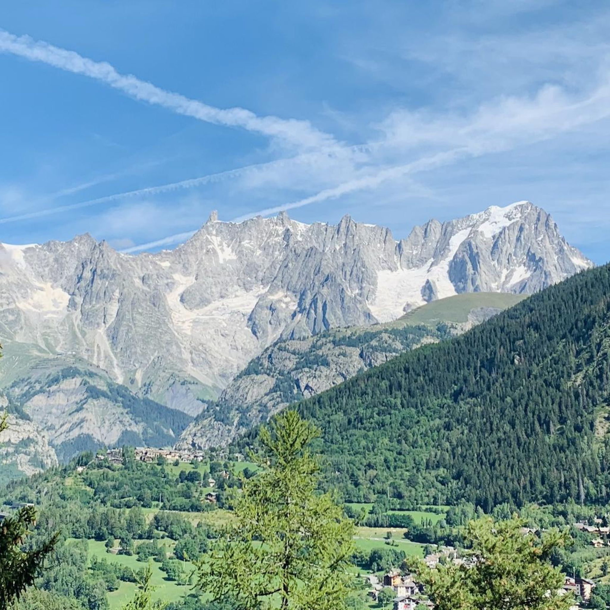
Yes, the region offers routes with spectacular views of the Mont Blanc Glacier. The Val Veny – Mont Blanc Glacier View loop from Courmayeur is specifically known for traversing the Val Veny area and providing direct views of the glacier.
Are there any moderate gravel bike routes for intermediate riders?
For intermediate riders, the Val Veny XC Trail – Val Veny loop from Rifugio Monte Bianco is a moderate option. This route covers about 12 km and offers a good balance of challenge and scenic beauty without the extreme difficulty of some longer trails.
Most popular routes around Pré-Saint-Didier
Most popular attractions around Pré-Saint-Didier

Get inspired with the komoot mobile app


Explore more
Browse the best Gravel rides in other regions.
