The best gravel rides around Tavagnasco
4.5
(28)
325
riders
24
rides
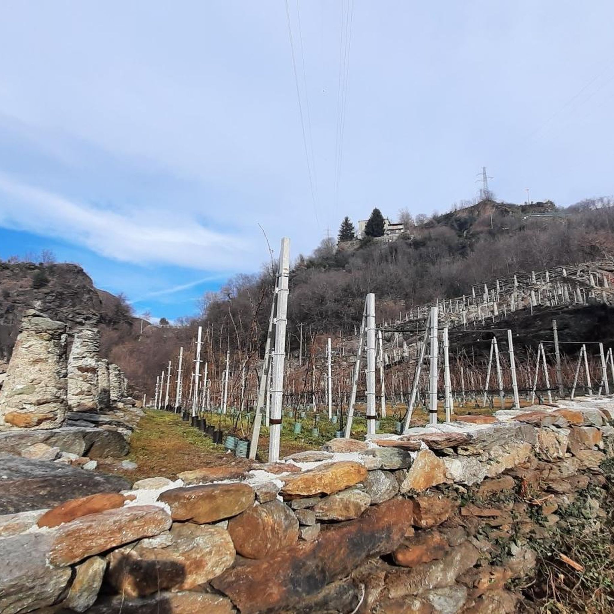
Gravel biking around Tavagnasco offers a diverse landscape characterized by varied elevations, river valleys, and forested areas, typical of the pre-Alpine region. The terrain includes a mix of challenging climbs and more rolling sections suitable for gravel bikes. This area provides a network of trails that cater to different skill levels, from moderate paths to advanced routes. The region's natural features make it a suitable destination for exploring on gravel bikes.
Best gravel bike trails around Tavagnasco
- The most popular…
Last updated: July 8, 2026
3.0
(1)
13
riders
43.3km
03:34
1,400m
1,400m
Hard gravel ride. Very good fitness required. Mostly paved surfaces. Suitable for all skill levels.
11
riders
Moderate gravel ride. Good fitness required. Mostly paved surfaces. Suitable for all skill levels.

Sign up for free
5
riders
28.2km
01:46
260m
260m
Moderate gravel ride. Good fitness required. Mostly paved surfaces. Suitable for all skill levels.
7
riders
37.8km
02:29
530m
530m
Hard gravel ride. Very good fitness required. Mostly paved surfaces. Suitable for all skill levels.
4.9
(7)
9
riders
69.0km
05:49
2,320m
2,320m
Hard gravel ride. Very good fitness required. Mostly paved surfaces. Suitable for all skill levels.
Get access to more routes and recommendations from other explorers.
Sign up for free
Already have an account?
Our route recommendations are based on thousands of hikes, rides, and runs completed by other people on komoot.
Start today with a free account
Your next adventure awaits.
Login or Signup
Tips from the Community

The Burnel is an ancient cup-marked stone located halfway along Via Maestra, the road that crosses the center of Nomaglio. On its surface, the cup marks engraved in prehistoric times are still visible, small hemispherical cavities whose exact function remains a subject of debate among scholars — perhaps linked to propitiatory rites or cult practices. In more recent times, the stone was adapted into a fountain, with a basin carved out for water, and on the stone, you can also observe the grooves left by the blades and knives that the villagers used to come here to sharpen. The name "burnel" indicates precisely this: a fountain with a stone basin. It is an object that, in a few square centimeters, tells of centuries of daily use superimposed on prehistoric traces, and has accompanied the life of the village for times much older than the stone houses with the typical Canavese arches that surround it.
0
0
The stone bridge of Lillianes, completed in 1733, represents a hydraulic work of exceptional value for the Lys Valley, being the only historic bridge in the region structured on four round arches. The choice of this configuration, supported by robust piers equipped with cut-water spurs, was dictated by the need to span a section of the Lys stream particularly subject to violent floods. The roadway, made with a characteristic donkey-back shape in local stone, hosts a votive shrine dedicated to Saint Roch in the center, historically placed to protect travelers against pestilences. A relevant anecdote concerns the complex financing of the work: the local community, in order not to depend exclusively on central subsidies, chose to heavily tax themselves through the "taglioni" system, a form of mandatory contribution based on land ownership. It is said that the families of the village contributed not only with money but also by providing labor and materials, as the bridge was considered vital for the economy linked to the chestnut trade and transhumance. Another curious detail concerns its incredible resistance: during past floods, while other wooden or lighter structures were swept away, the bridge of Lillianes remained intact, consolidating its fame as an indestructible monument and a symbol of unity for the entire valley population.
0
0

Place of worship and for those seeking peace.
0
0

Nomaglio is a small but pleasant, characteristic village that deserves a quick stop and a bike ride.
0
0

The Church of Sant’Andrea Apostolo has a neoclassical façade dominated by four Ionic columns leading to a triangular tympanum.
1
0

An ancient cemetery dating back to the Napoleonic era, abandoned in the 1940s. https://fondoambiente.it/luoghi/cimitero-del-fiorentino?ldc
0
0

From the centre of the village you start to climb
0
0
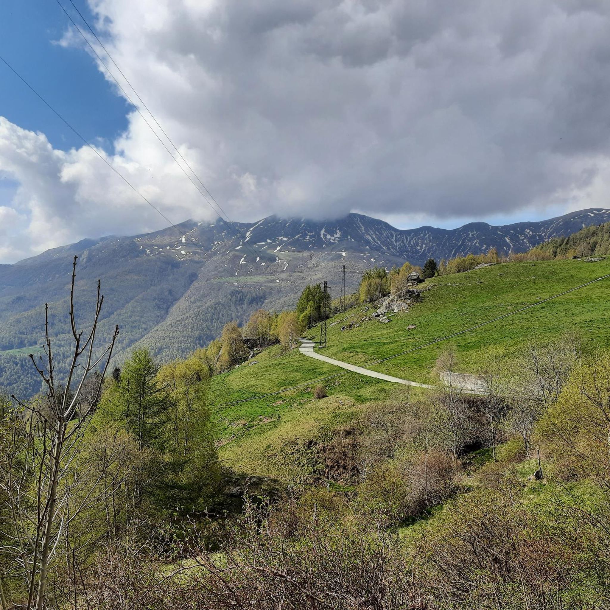
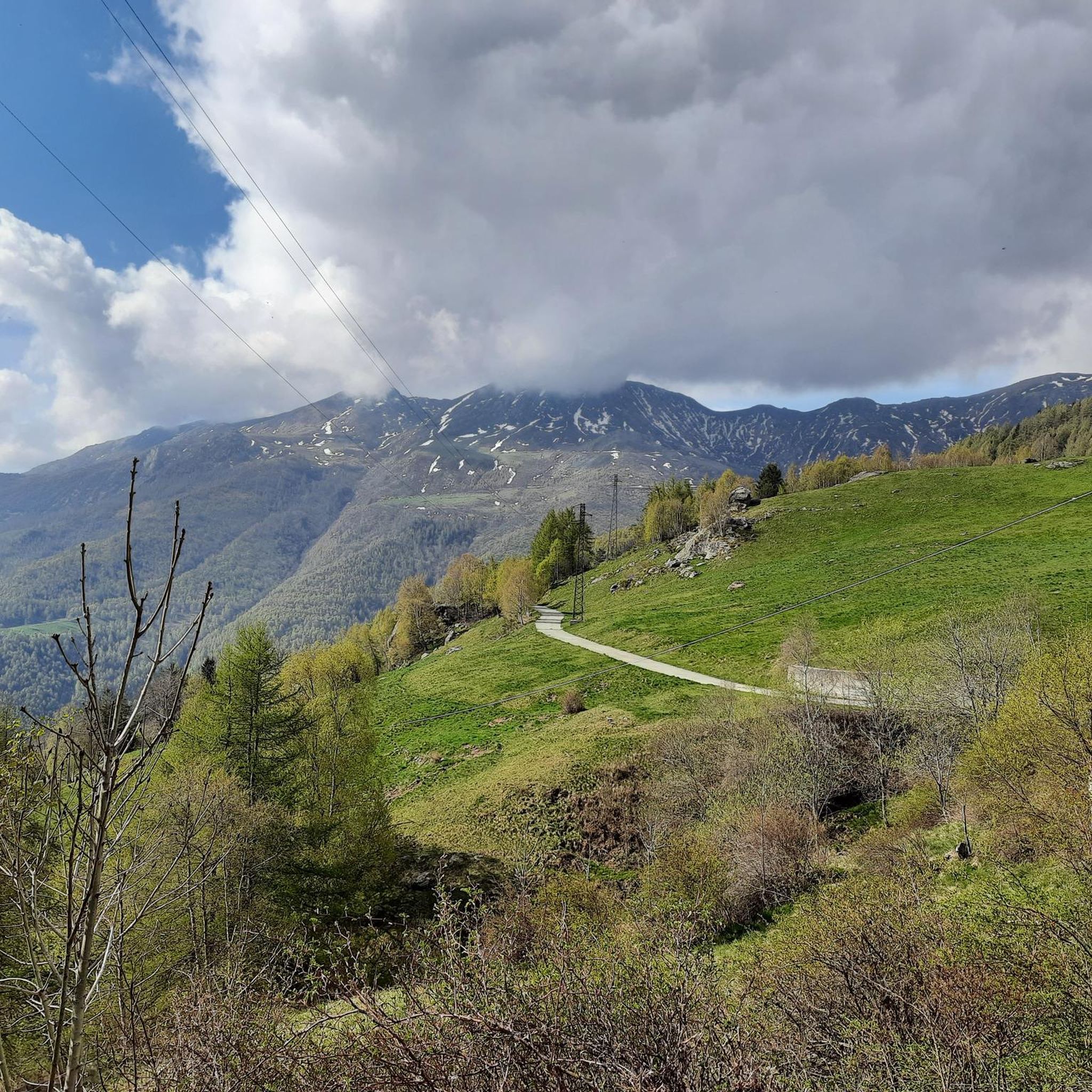
After a long climb you arrive at this plateau with a view of Monterosa, where a moment of respite is a godsend...
0
0
Frequently Asked Questions
What is the general difficulty level of gravel bike trails around Tavagnasco?
Tavagnasco offers a diverse range of gravel bike trails. You'll find 2 easy routes, 8 moderate routes, and 23 difficult routes, catering to various skill levels. The terrain is characterized by varied elevations, river valleys, and forested areas, typical of the pre-Alpine region.
Are there suitable gravel bike trails for beginners in Tavagnasco?
Yes, Tavagnasco has options for beginners. There are 2 easy gravel bike trails available, providing a gentler introduction to the region's varied terrain.
Are there any long-distance gravel bike routes suitable for a full day's adventure?
Absolutely. For a longer ride, consider the Oropa Sanctuary – Oropa Sanctuary loop from Chiaverano, which spans nearly 80 km (49.4 miles) and features significant elevation gain through mountainous terrain. Another challenging option is the Lake Viverone – Lake Viverone loop from Pont-Saint-Martin, covering almost 90 km.
What kind of landscapes can I expect to see on gravel bike trails in Tavagnasco?
The gravel bike trails around Tavagnasco traverse diverse landscapes, including varied elevations, river valleys, and forested areas. You'll experience a mix of challenging climbs and more rolling sections, with some routes offering open areas and scenic views, characteristic of the pre-Alpine region.
Are there any circular gravel bike routes available?
Yes, many of the gravel bike routes in the area are loops. For example, the The Dancing Lands – Black Lake loop from Tavagnasco is a moderate 28.2 km (17.5 miles) trail that starts and ends in Tavagnasco, offering a convenient circular option.
What do other gravel bikers enjoy the most about gravel biking in Tavagnasco?
The komoot community highly rates the gravel biking experience in Tavagnasco, with an average score of 4.7 stars from over 30 reviews. Riders often praise the varied terrain, the beautiful pre-Alpine scenery, and the network of trails that cater to different skill levels.
What are some interesting natural sights or landmarks I can explore near the gravel bike trails?
While gravel biking, you can explore several natural and historical highlights. Consider visiting Lake Pistono and the Archaeological Park of the Stilt Houses, or the unique geological formation known as The Dancing Lands. You might also encounter Black Lake or enjoy views from Pian delle Nere.
Are there any historical sites or cultural attractions accessible from the gravel routes?
Yes, the region offers historical points of interest. You could explore the Ivrea Historic Centre and the Dora Baltea Riverside, or visit the impressive Fort Bard. The Bastia Tower is another notable landmark in the vicinity.
What is the best season for gravel biking in Tavagnasco?
Given the pre-Alpine characteristics of Tavagnasco, spring and autumn generally offer the most pleasant conditions for gravel biking, with milder temperatures and vibrant scenery. Summer can also be good, though some higher elevation routes might be warmer. Winter riding is possible but may be limited by snow or colder temperatures, especially on higher trails.
Is parking generally available near the trailheads in Tavagnasco?
While specific parking locations are not detailed for every route, many trailheads in popular outdoor regions like Tavagnasco typically have designated parking areas or roadside spots. It's advisable to check the individual route descriptions on komoot for more precise parking information before you set out.
Can I access gravel bike trails in Tavagnasco using public transport?
Public transport access varies by specific trailhead. While some routes might be reachable via local bus or train services to nearby towns, direct access to all trailheads via public transport is not guaranteed. We recommend checking local public transport schedules and routes to plan your journey to specific starting points.
Are there any moderate gravel bike trails that offer a good balance of challenge and scenery?
Certainly. The The Dancing Lands – Black Lake loop from Tavagnasco is a moderate 28.2 km route that provides a good mix of terrain and scenic views, making it a popular choice for those seeking a balanced ride.
Most popular routes around Tavagnasco
Most popular attractions around Tavagnasco

Get inspired with the komoot mobile app


Explore more
Browse the best Gravel rides in other regions.
