The best gravel rides around Manerbio
4.4
(62)
543
riders
59
rides
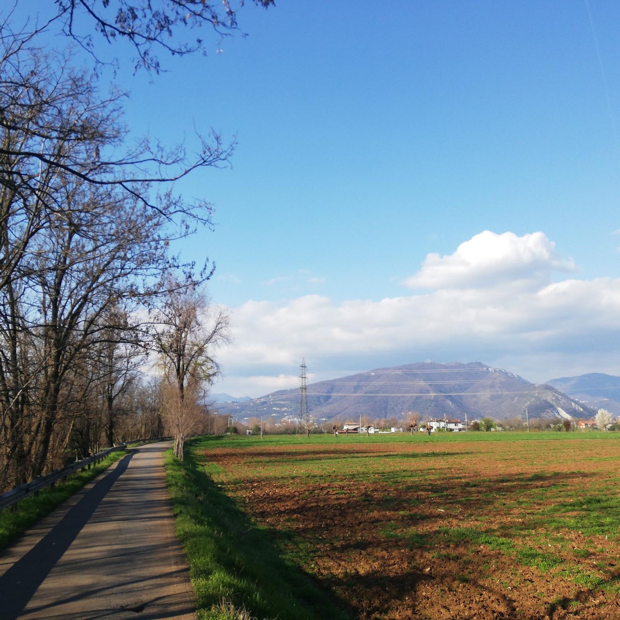
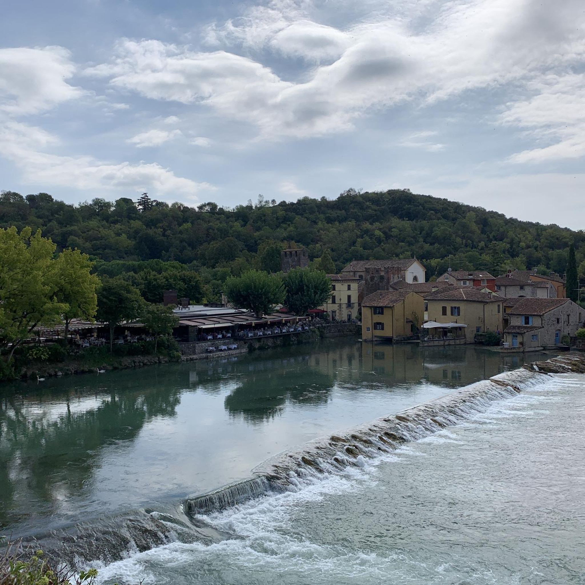
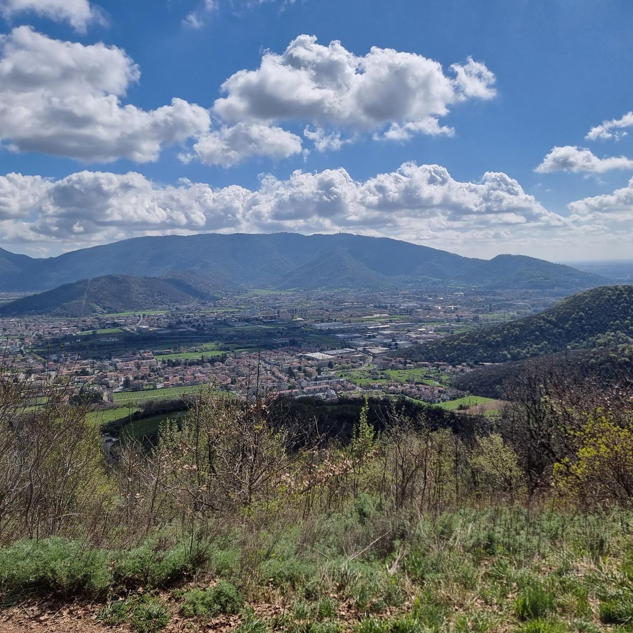
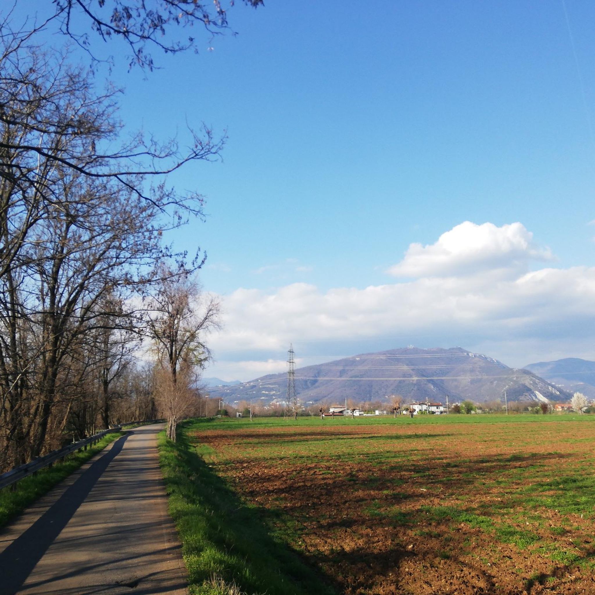
Gravel biking around Manerbio offers routes through the tranquil Lombardy plain, characterized by extensive agricultural vistas and riverine corridors. The region features a network of unpaved agricultural roads and paths along the Mella and Oglio Rivers, providing varied terrain for gravel cyclists. Gentle elevations, such as Monte Netto at 133 meters, offer some topographical variety and panoramic views. This area provides a mix of natural settings and historical landmarks suitable for gravel biking.
Best gravel bike trails around Manerbio
- The…
Last updated: October 11, 2026
4.0
(2)
29
riders
87.2km
05:33
180m
180m
Hard gravel ride. Very good fitness required. Mostly paved surfaces. Suitable for all skill levels.
5.0
(5)
31
riders
61.3km
03:32
170m
170m
Moderate gravel ride. Good fitness required. Mostly paved surfaces. Suitable for all skill levels.

5.0
(1)
22
riders
Hard gravel ride. Very good fitness required. Mostly paved surfaces. Suitable for all skill levels.
5.0
(1)
14
riders
Hard gravel ride. Very good fitness required. Mostly paved surfaces. Suitable for all skill levels.
4.7
(3)
17
riders
52.9km
03:08
160m
160m
Moderate gravel ride. Good fitness required. Mostly paved surfaces. Suitable for all skill levels.
Get access to more routes and recommendations from other explorers.
Already have an account?
Our route recommendations are based on thousands of hikes, rides, and runs completed by other people on komoot.
Start today with a free account
Your next adventure awaits.
Tips from the Community

Pure Gravel ride. With mixed stretches on asphalt to relax a bit. Alternating shade and sun, but I think mid-season is preferable. The stretch of Verolavecchia and Verolanuova is beautiful, with its architectural features. There are fun climbs and descents, for which, however, it's better to have good brakes (as always).
0
0

The Naviglio Civico di Cremona is a historic artificial canal of about 57 km (reaching over 75 km considering the underground section "Cremonella" and the final stretch into the Po River), built in 1337 for irrigation purposes and still fundamental for agriculture today. It crosses the province from north to south, connecting the Oglio river to the city, characterized by a landscape rich in biodiversity, ancient farmhouses, and a cycle path.
2
0


The trail, which runs alongside the Canale Civico Cremonese, is straight and uneven, running through fields and rows of vines on a dirt surface. Stable and even, it's a perfect stretch for gravel and touring bikes.
2
0

Very beautiful, almost entirely shaded and cool. In some places, the vegetation is very lush, but there are alternative routes. As always, there are the inevitable fallen tree trunks along the way. One in particular is 15 cm in diameter, but you can climb over it. Have a good trip!
1
0

Used for food preservation, in the winter it was filled with snow and straw: the straw had an insulating function, while the snow, with its weight, became ice compacting inside the structure. This allowed the preservation of food in the summer. We are in "Scorzarolo", an old abandoned village near Verolavecchia (BS), here the icehouse most likely served two dairies for the processing of dairy products. The icehouse or "neviera" is made in a truncated cone shape with a circular plan and walls, usually in brick masonry or, like the one in Scorzarolo, in bricks, the ceiling is made in a dome. There are small windows and an entrance, the structure is about 4m deep.
0
0

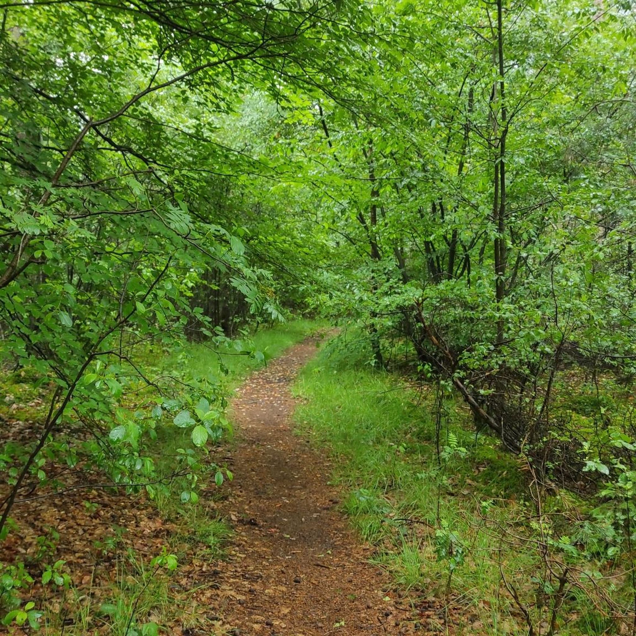
A lush corner with oaks, ash trees and hornbeams, ideal for walks and bike rides. Well-groomed paths between clearings and plain woods, accompanied by birdsong. Landscapes that change with the seasons, perfect for unique photographs. A well-equipped space that is perfect for picnics or simply to get away from the routine A place to explore and share!
0
0
The Scorzarolo Ice House: Ingenuity and Tradition This circular brick structure, with an ogival roof and about four meters deep, was filled with snow in the winter to preserve food during the summer. It may also have had a public-health service function, making it a key element of rural life at the time.
0
0
Frequently Asked Questions
How many gravel bike trails are available around Manerbio?
There are over 100 gravel bike trails around Manerbio, offering a wide range of options for different skill levels and preferences. The komoot community has mapped 108 routes in total, with 22 easy, 64 moderate, and 22 difficult trails.
What kind of terrain can I expect on gravel bike trails near Manerbio?
The gravel bike trails near Manerbio primarily traverse the tranquil Lombardy plain, featuring extensive agricultural vistas and riverine corridors. You'll find a network of unpaved agricultural roads and paths along the Mella and Oglio Rivers. While mostly flat, gentle elevations like Monte Netto (133 meters) offer some topographical variety and panoramic views without overly strenuous climbs.
Are there gravel routes suitable for beginners or families in Manerbio?
Yes, Manerbio offers several gravel routes suitable for beginners and families. Out of the 108 available trails, 22 are classified as easy and 64 as moderate. These routes often follow tranquil agricultural roads and riverbanks, providing a pleasant and accessible experience. For example, the La Buca di Cignano Park – Cyclopedestrian Bridge over the Mella loop from Verolanuova is a moderate 43.4 km route with minimal elevation gain, ideal for a relaxed ride.
What interesting landmarks or attractions can I see along gravel bike routes in Manerbio?
Many gravel routes in Manerbio pass by historical and natural attractions. You can explore sites like the 14th-century Padernello Castle, the unique San Vigilio Bridge of Padernello made of intertwined logs, or the scenic Montenetto Park. The 13th-century Romanesque Pieve Santa Maria Annunciata di Comella is another historical stop you might encounter on routes like the Bosco del Lusignolo – Pieve di Comella loop from Verolanuova.
Are there any circular gravel bike routes around Manerbio?
Yes, many of the gravel bike trails around Manerbio are designed as loops, allowing you to start and end at the same point. Examples include the challenging Padernello Castle – Bridge over the Oglio River loop from Verolanuova and the moderate La Buca di Cignano Park – Cyclopedestrian Bridge over the Mella loop from Verolanuova. These circular routes are convenient for exploring the region without needing to arrange transportation back to your starting point.
What is the best season for gravel biking in Manerbio?
The Lombardy plain around Manerbio is generally pleasant for gravel biking during spring and autumn, when temperatures are mild and the agricultural landscapes are vibrant. Summer can be warm, but early mornings or late afternoons offer cooler conditions. Winter rides are possible, though some paths might be muddy after rain.
Are there any long-distance gravel biking options that pass through Manerbio?
Yes, the region is connected to longer routes. The 'Via delle Sorelle' (Sisters' Trail), a 130-kilometer route connecting Bergamo and Brescia, is particularly relevant for gravel bikers. This multi-stage journey minimizes asphalt, traversing green hills, picturesque forests, and pastures on dirt roads, trails, and mule tracks, making it suitable for gravel bikes. You can find more information about this route on cycletourismshow.com.
What do other gravel bikers enjoy most about the Manerbio area?
The Manerbio area is highly rated by the komoot community, with an average score of 4.6 stars from over 80 reviews. Reviewers often praise the tranquil agricultural vistas, the peaceful riverine paths along the Mella and Oglio, and the opportunity to combine cycling with visits to historical landmarks like Padernello Castle. The varied terrain, from flat plains to gentle elevations, also contributes to a diverse riding experience.
Are there any gravel bike trails that feature multiple bridge crossings?
Yes, the riverine environment around Manerbio means many routes incorporate bridge crossings. A notable example is the difficult Tombe Morte (and 13 bridges) – Bridge over the Oglio River loop from Verolanuova, which navigates along riverbanks and features multiple bridge crossings, offering unique scenic views.
Where can I find parking for gravel biking trailheads in Manerbio?
While specific parking areas for each trailhead are not always explicitly listed, many routes around Manerbio start from towns or villages like Verolanuova or Manerbio itself, where public parking is generally available. It's advisable to check local parking options in the starting village of your chosen route before your ride.
Are there any gravel routes that explore the Oglio River valley?
Absolutely. The Oglio River is a prominent feature in the region, and several gravel routes are designed to explore its valley. The Bridge over the Oglio in Ostiano – Cyclopedestrian Bridge over the Oglio loop from Manerbio is a 106.3 km trail that specifically leads through the Oglio River valley, offering extensive views of the river and its surroundings.
Most popular attractions around Manerbio

Get inspired with the komoot mobile app


Explore more
Browse the best Gravel rides in other regions.
